 Block
Dawson, Oklahoma
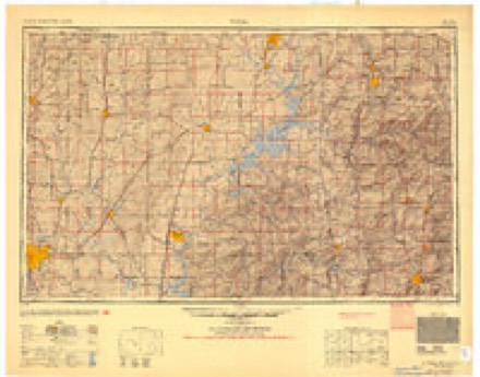
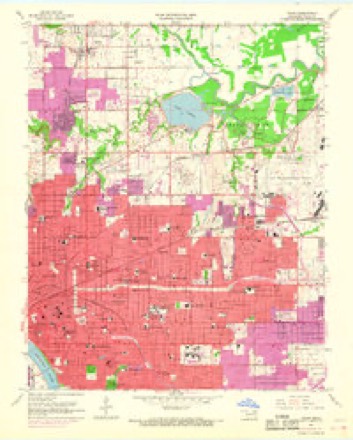
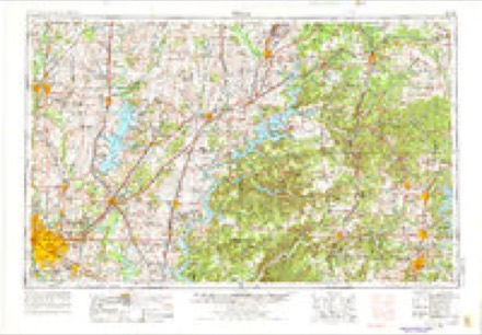
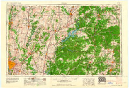
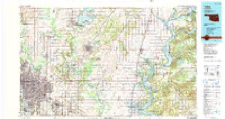
23 topographic sheets cover this place, the earliest surveyed in 1901 and the latest in 1985. It stands in the Tulsa census division. It lies in ZIP code area 74115. The Survey maps it on the Tulsa quadrangle.
On record in Dawson
Buildings and businesses the archive holds for this place. Each opens its own page, with the source record it came from.
On the National Register within a mile 1 record
The National Register names another town for these. They stand within one mile of this settlement's coordinate.
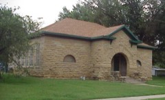 Dawson Schoollisted 2001 · 0.3 miles away
Topographic sheets covering this place
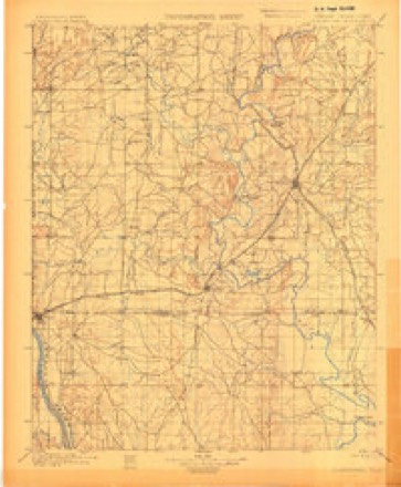
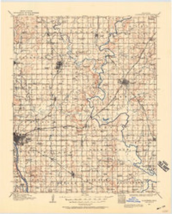
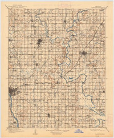
8 surveys from 23 printed sheetsMatched by testing this settlement's coordinate against the published boundary of every sheet in the United States Geological Survey's historical collection. Each opens the scanned sheet at the Survey.
- 1901 USGS Claremore quadrangle1:125000, 4 printings
- 1914 USGS Claremore quadrangle1:125000
- 1916 USGS Claremore quadrangle1:125000, 4 printings
- 1954 USGS Tulsa quadrangle1:250000, 2 printings
- 1954 USGS Tulsa quadrangle1:24000, 6 printings
- 1958 USGS Tulsa quadrangle1:250000, 3 printings
- 1963 USGS Tulsa quadrangle1:250000
- 1985 USGS Tulsa quadrangle1:100000, 2 printings
Mines and quarries near this place
10 of 14 shownRegional context, not property-specific evidence. The federal mineral resources record lists 14 workings within 5 miles of Dawson: 7 producers, 7 past producers. 7 still produce. What was taken out: Sand and Gravel, Construction, Stone, Crushed/Broken, Clay. Distance is straight-line from the map coordinates, so a quarry counted here may appear on a neighbouring settlement's page as well.
| Where | Site | Commodity | Status | Recorded |
|---|---|---|---|---|
| Acme Brick Co Shale Pit | Clay | Producer | ||
| Unknown Shale Pit | Clay | Past Producer | ||
| Unknown Shale Pit | Clay | Past Producer | ||
| Anchor Stone Company | Stone, Crushed/Broken | Producer | ||
| Chandler Materials Limestone Pit | Stone, Crushed/Broken | Producer | ||
| East Quarry and Plant | Stone, Crushed/Broken | Producer | ||
| Unknown Limestone Pit | Stone, Crushed/Broken | Past Producer | ||
| East Tulsa Sand Pit | Sand and Gravel, Construction | Producer | ||
| Grace Dredge & Plant | Sand and Gravel, Construction | Past Producer | ||
| Tulsa Dredge & Plant No 1 | Sand and Gravel, Construction | Producer |
Storms near this place
25 since 2010Regional context, not property-specific evidence. The National Weather Service names Dawson in 25 storm reports between 2010 and 2025: 11 thunderstorm wind, 7 flash flood, 5 hail, 1 tornado. The reports record 1 death. Each account below is quoted exactly as the forecast office filed it, from the NOAA Storm Events Database, and each date opens the federal record of that event.
| When | Event | Place named | Harm | What the report says |
|---|---|---|---|---|
| April 2024 | Flood | Dawson | 1 killed | Thunderstorms with heavy rainfall moved into Tulsa, and resulted in minor flooding of portions of city streets and low-lying areas. Two homeless people were sleeping near a storm drain at E Admiral Place and S Memorial Drive, one of which was swept into the storm drain and was washed away. She was found deceased the next morning about 100 feet inside the storm drain. |
| March 2015 | Tornado (EF0) | Dawson | $200,000 | This tornado developed in an undeveloped area south of the Tulsa International Airport and moved southeast toward Admiral Blvd. The tornado damaged several mobile homes, a number of permanent homes, and snapped large tree limbs north of I-244. Numerous homes, a number of mobile homes, a strip mall, an apartment complex, and businesses were damaged south of I-244 and west of Highway 169. The tornado continued southeast as it crossed Highway 169 at and south of Admiral Blvd., damaging the roofs of numerous homes and snapping many large tree limbs. A carport was destroyed and a garage door of a home was blown inward as the tornado turned more southerly before dissipating near E 11th Street South, just west of Garnett Road. Based on this damage, maximum estimated wind in the tornado was 70 to 80 mph. |
| March 2015 | Thunderstorm Wind | Dawson | $150,000 | Strong thunderstorm wind apparently associated with the rear flank downdraft of the tornadic supercell just to the north and east resulted in widespread damage from along I-244 to east of Highway 169 south of I-44. Numerous homes were damaged, trees were snapped or uprooted, businesses were damaged, and power poles were blown down. The building that houses the National Weather Service Forecast Office in Tulsa had a glass door blown in by the wind and gravel was blown from the roof of the building onto the south parking lot, damaging numerous vehicles. |
| June 2019 | Flash Flood | Dawson | $50,000 | Several homes were flooded just north of the Admiral Twin Theater, on E Independence Street. |
| June 2023 | Thunderstorm Wind | Dawson | $30,000 | Strong thunderstorm wind caused structural damage to a wall of the historic Rose Bowl in Tulsa. |
| March 2015 | Hail | Dawson | $25,000 | no account filed |
| July 2010 | Flash Flood | Dawson | $20,000 | Duplexes were flooded at 11th Street South and Sheridan Road. |
| July 2013 | Hail | Dawson | $20,000 | no account filed |
| June 2019 | Flash Flood | Dawson | $5,000 | A car was stranded in high water near E 11th Street and S Sheridan Road. |
| March 2015 | Thunderstorm Wind | Dawson | $5,000 | Strong thunderstorm wind blew down power lines. |
| August 2018 | Thunderstorm Wind | Dawson | $2,000 | Strong thunderstorm wind blew down power lines. |
| July 2025 | Flash Flood | Dawson | - | Portions of several roads were reported flooded. |
| August 2023 | Flash Flood | Dawson | - | Several roads were flooded in a neighborhood on the northeast side of Tulsa. |
| August 2020 | Thunderstorm Wind | Dawson | - | The Oklahoma Mesonet station near Tulsa measured 63 mph thunderstorm wind gusts. |
| August 2020 | Thunderstorm Wind | Dawson | - | Strong thunderstorm wind blew down trees, and snapped large tree limbs. |
| August 2020 | Thunderstorm Wind | Dawson | - | Strong thunderstorm wind snapped large tree limbs. |
| August 2020 | Flash Flood | Dawson | - | Portions of E 11th Street were flooded west of Highway 169 and east of S Yale Avenue. |
| June 2019 | Flash Flood | Dawson | - | Eastbound lanes of I-244 near N Sheridan Road were flooded and closed. |
| May 2017 | Thunderstorm Wind | Dawson | - | The Oklahoma Mesonet station in north Tulsa measured 64 mph thunderstorm wind gusts. |
| March 2015 | Thunderstorm Wind | Dawson | - | Thunderstorm wind gusts were estimated to 70 mph. |
| July 2013 | Thunderstorm Wind | Dawson | - | The Oklahoma Mesonet station in north Tulsa measured 71 mph thunderstorm wind gusts. |
| July 2013 | Thunderstorm Wind | Dawson | - | Strong thunderstorm wind snapped large tree limbs. |
| April 2017 | Hail | Dawson | - | no account filed |
| April 2017 | Hail | Dawson | - | no account filed |
| July 2013 | Hail | Dawson | - | no account filed |
Nearest settlements
The eight closest, with where each one stands in the county. Distances are straight-line, computed from the Geographic Names Information System coordinates.
| Map | Place | Distance | Sheets |
|---|---|---|---|
| Douglas | 1.5 miles | 23 | |
| East Tulsa | 1.8 miles | 23 | |
| Mohawk | 2.1 miles | 23 | |
| Mingo | 3.5 miles | 22 | |
| Garnett | 4.4 miles | 22 | |
| Tulsa | 4.8 miles | 23 | |
| Turley | 5.6 miles | 23 | |
| West Tulsa | 5.9 miles | 16 |
Provenance
This settlement is recorded in the Geographic Names Information System as feature 1091960. The sheet list is computed by point-in-boundary test against the United States Geological Survey's historical topographic inventory. Both are works of the United States government and carry no copyright under 17 U.S.C. 105.
Mines and quarries. USGS Mineral Resources Data System (MRDS) https://mrdata.usgs.gov/mrds/ A work of the United States government, no copyright under 17 U.S.C. 105.
Storms. NOAA National Centers for Environmental Information, Storm Events Database https://www.ncei.noaa.gov/stormevents/ A work of the United States government, no copyright under 17 U.S.C. 105. Narratives are quoted verbatim from the National Weather Service report and are not edited or summarised.