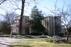
Block
From the record
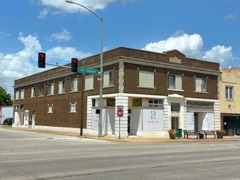
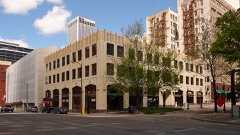
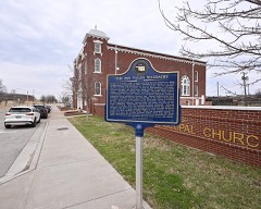
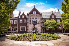
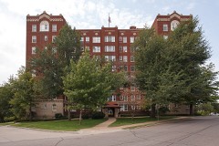
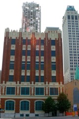
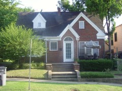
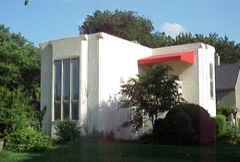
107 National Register listings published here, 1 of them a National Historic Landmark.
Sources: the county history on the Internet Archive · the National Register database, National Park Service
122 topographic sheets and 38 fire insurance atlases across 7 places.
107 National Register listings published here, 1 of them a National Historic Landmark.
Sources: the county history on the Internet Archive · the National Register database, National Park Service
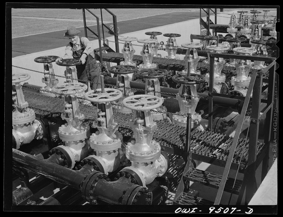
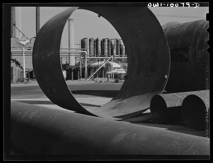
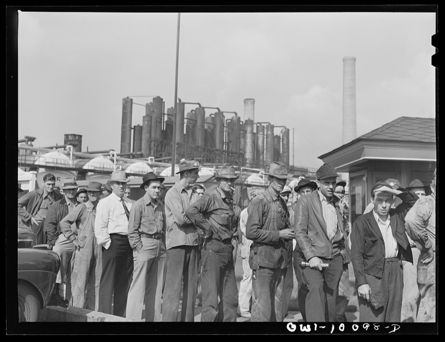
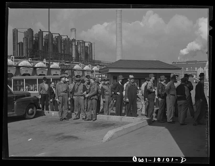
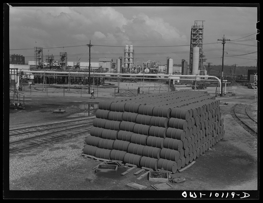
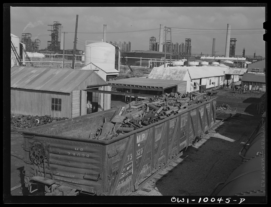
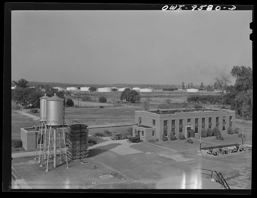
Taken for the Office of War Information and the Farm Security Administration, who photographed the country between 1935 and 1944. Works of United States government photographers, with no known restriction on use. Each opens its catalogue record.
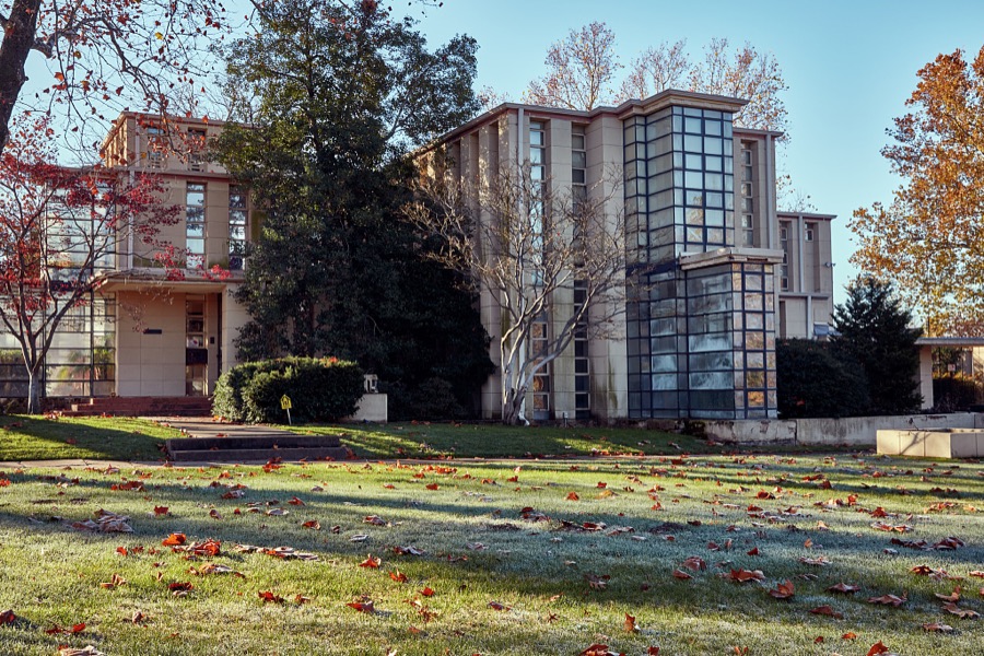

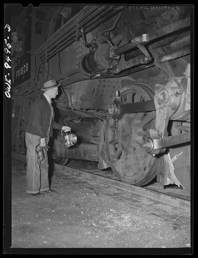
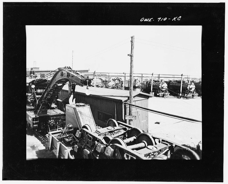

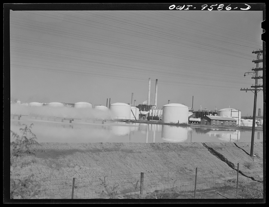

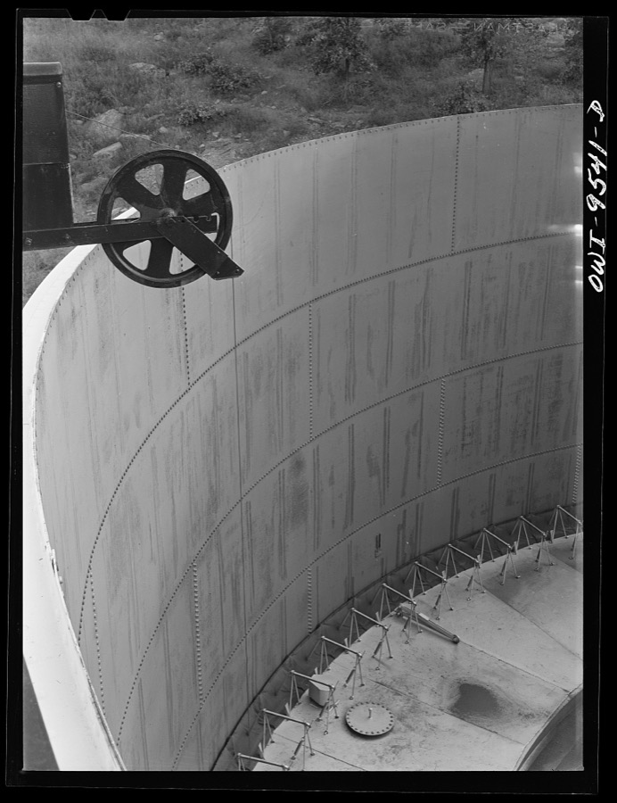
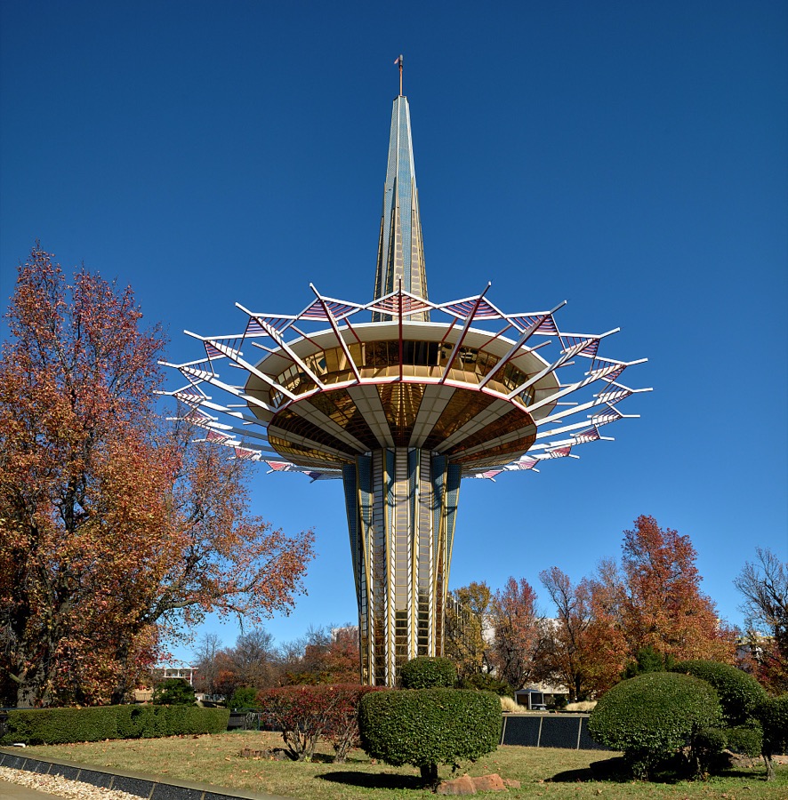
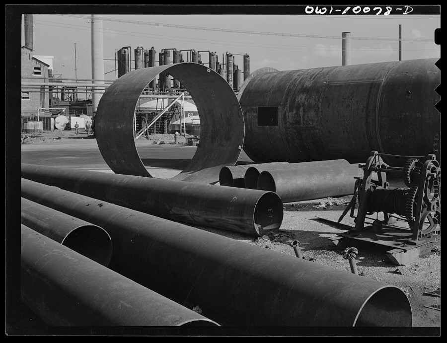
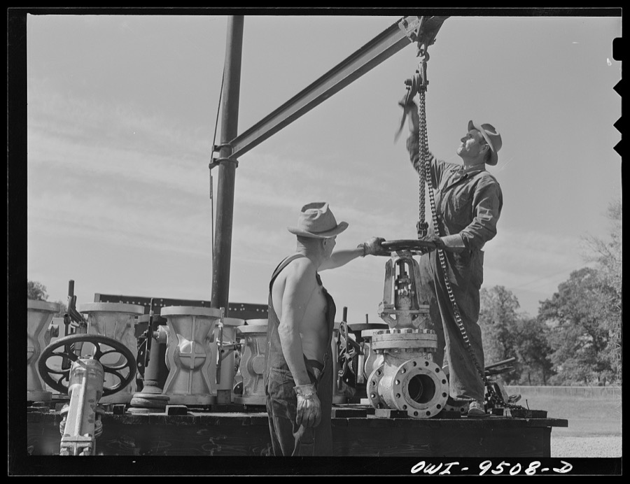

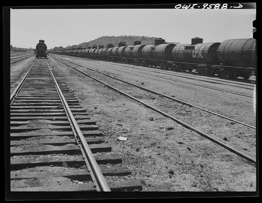

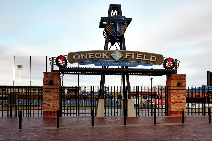
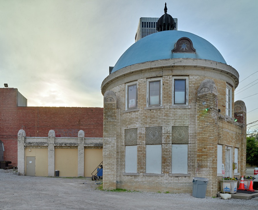
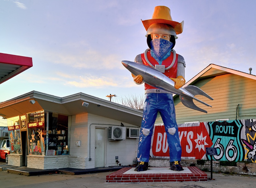
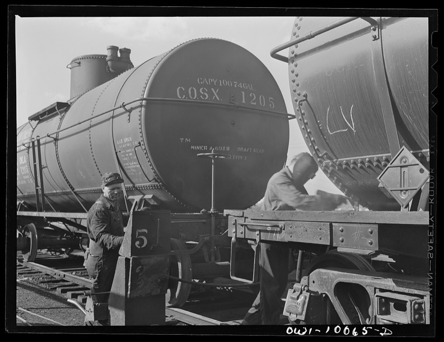
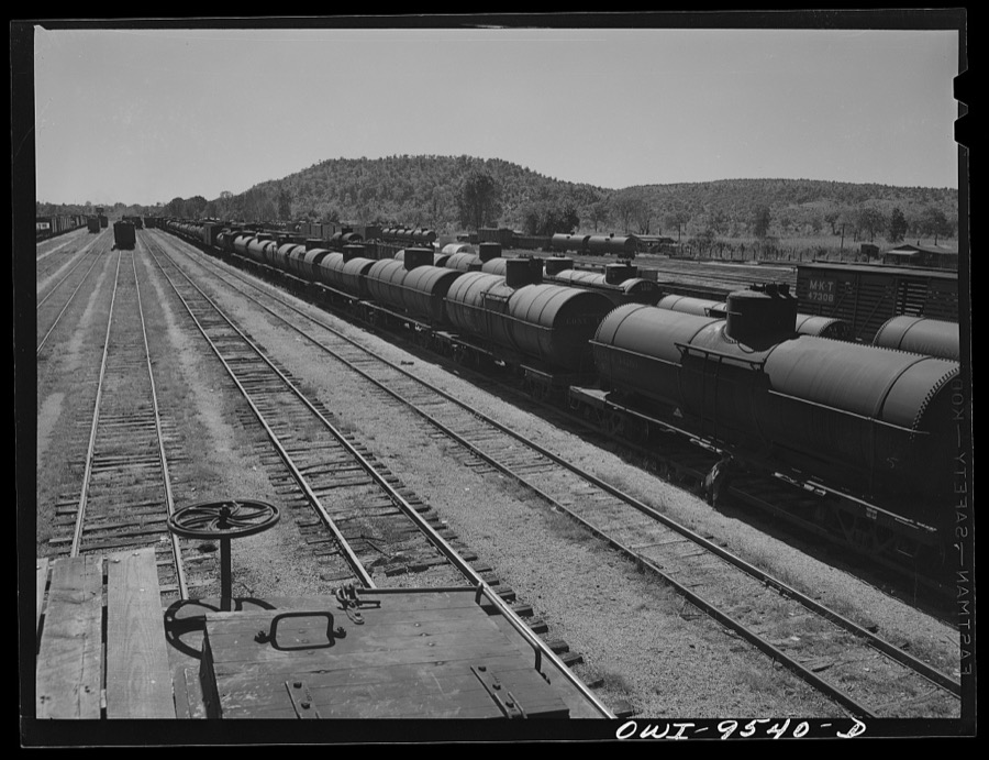
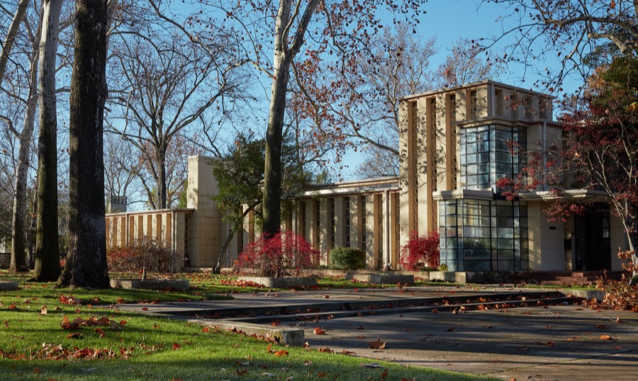
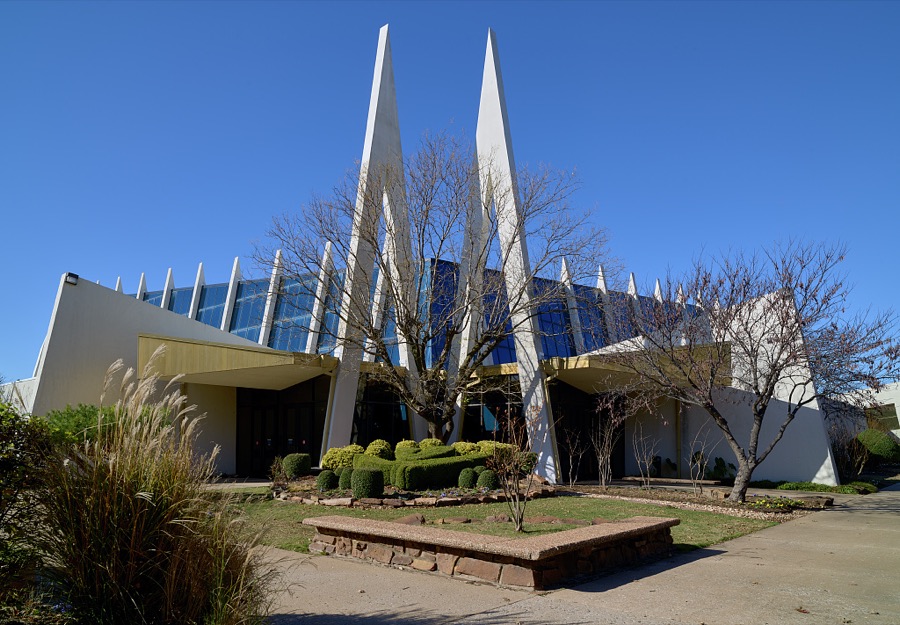
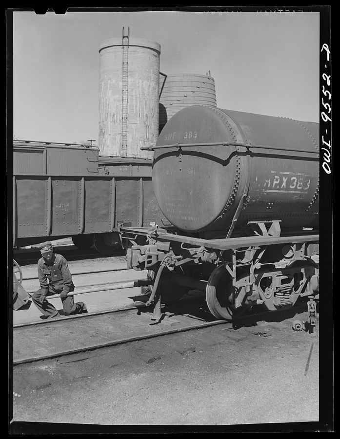
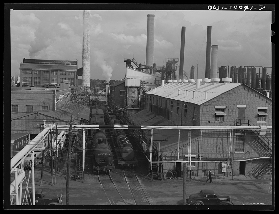
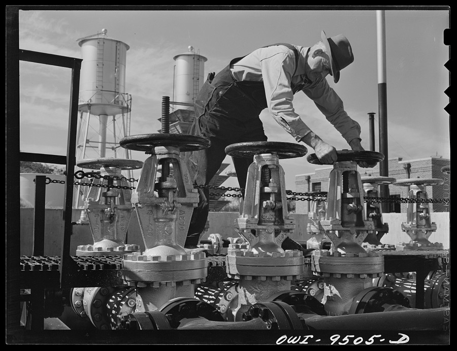
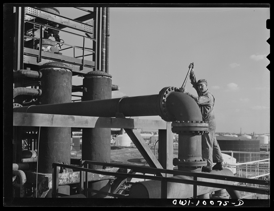
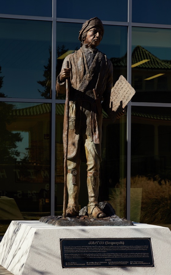
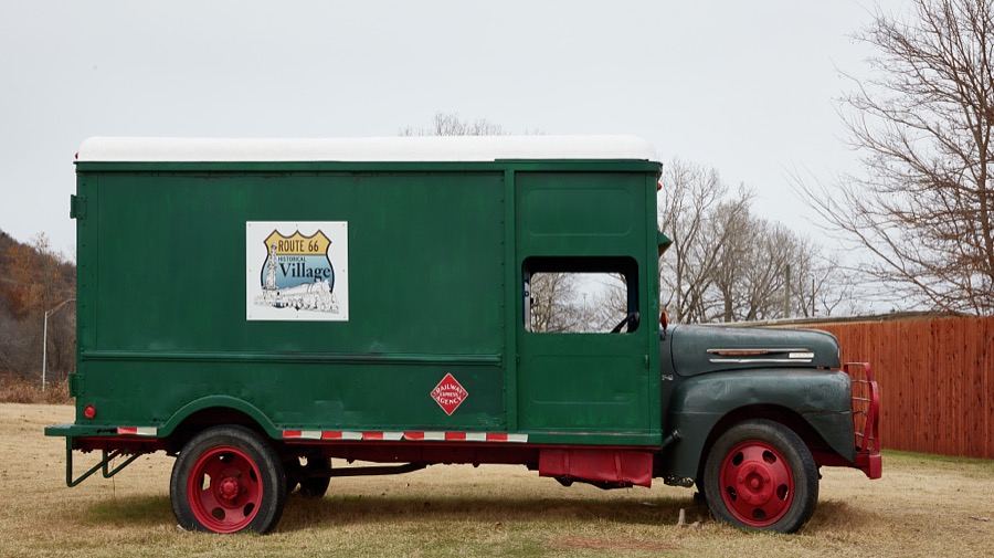


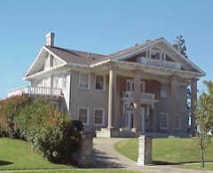
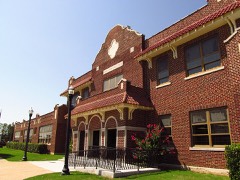
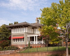
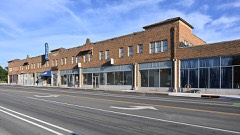
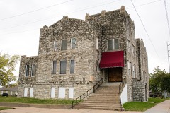
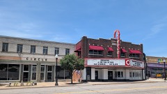
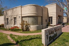
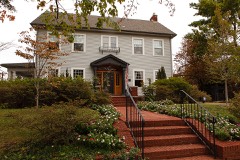
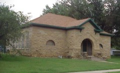
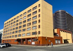
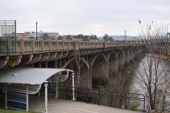
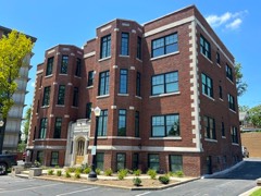
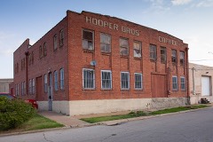
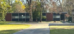
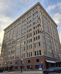
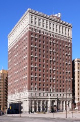
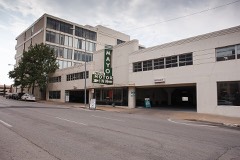
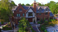
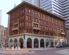
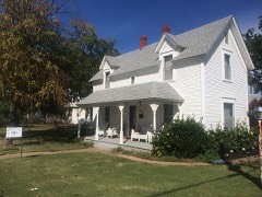
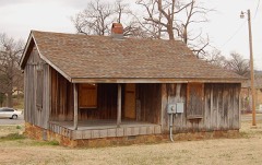
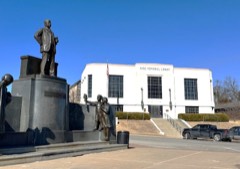
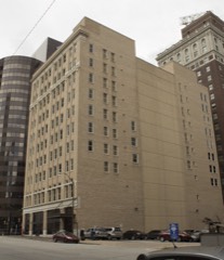
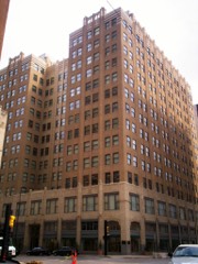
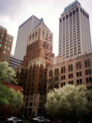
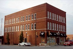
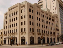
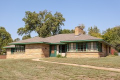
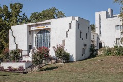
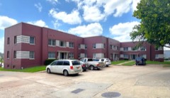
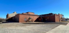
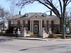
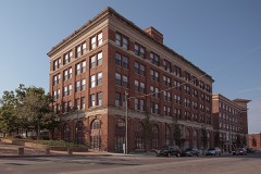
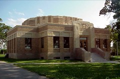
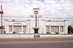
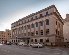
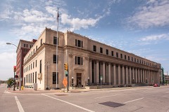
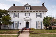
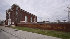
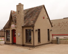
Every property in this county listed on the National Register of Historic Places, with the year it was listed and the federal nomination document.
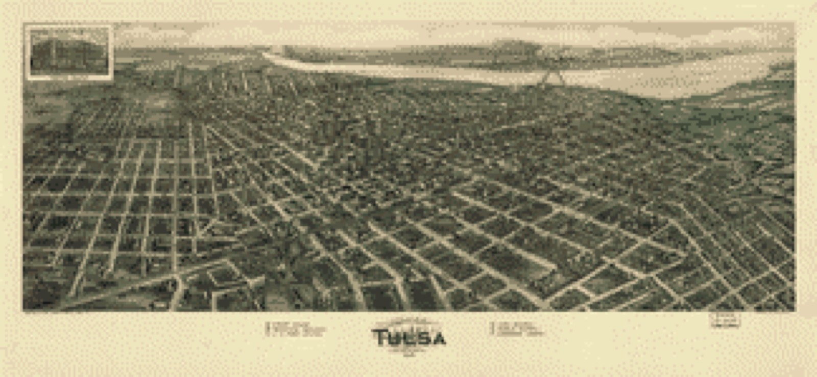
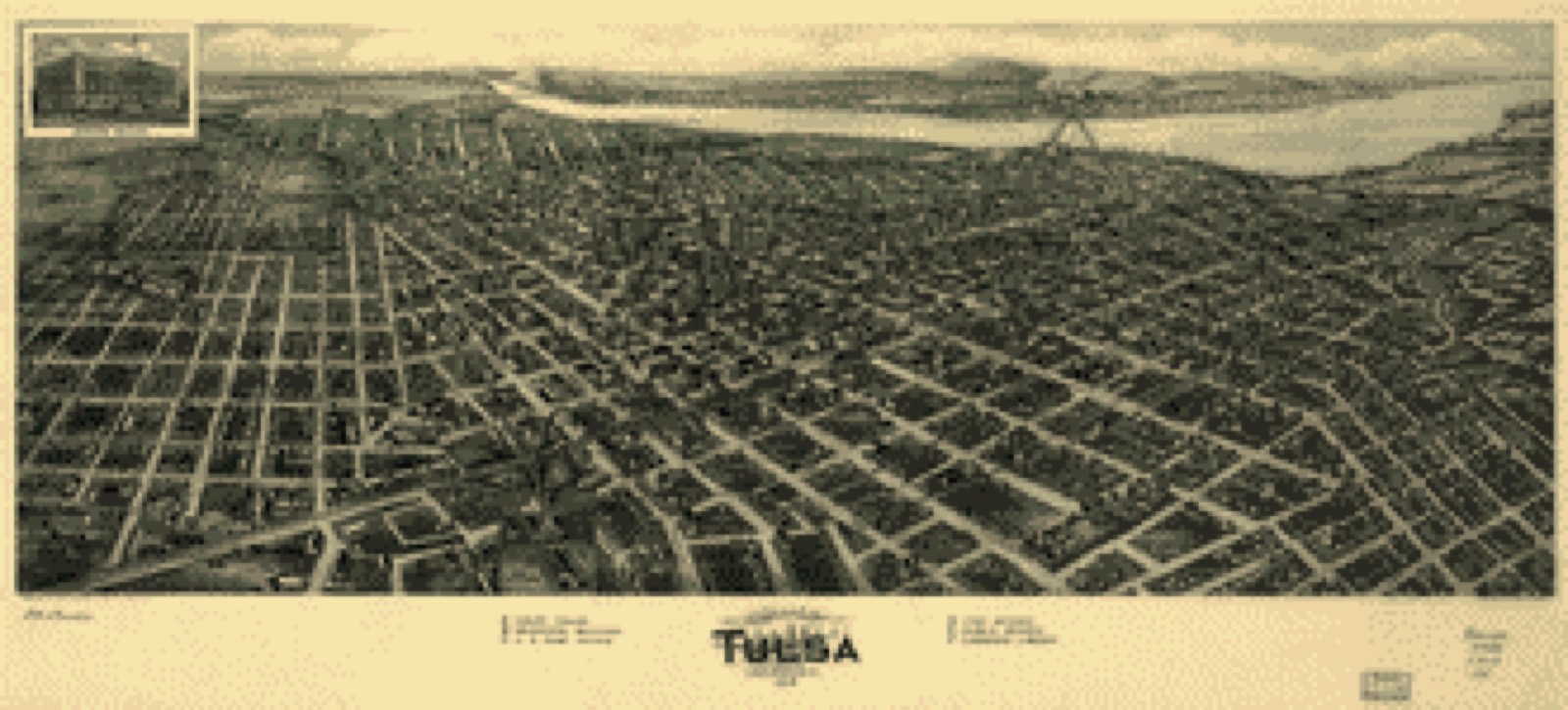
Drawn when these were printed as single large sheets: the town seen from the air, and the county divided into its farms with every owner named. Each opens the original at the Library of Congress.
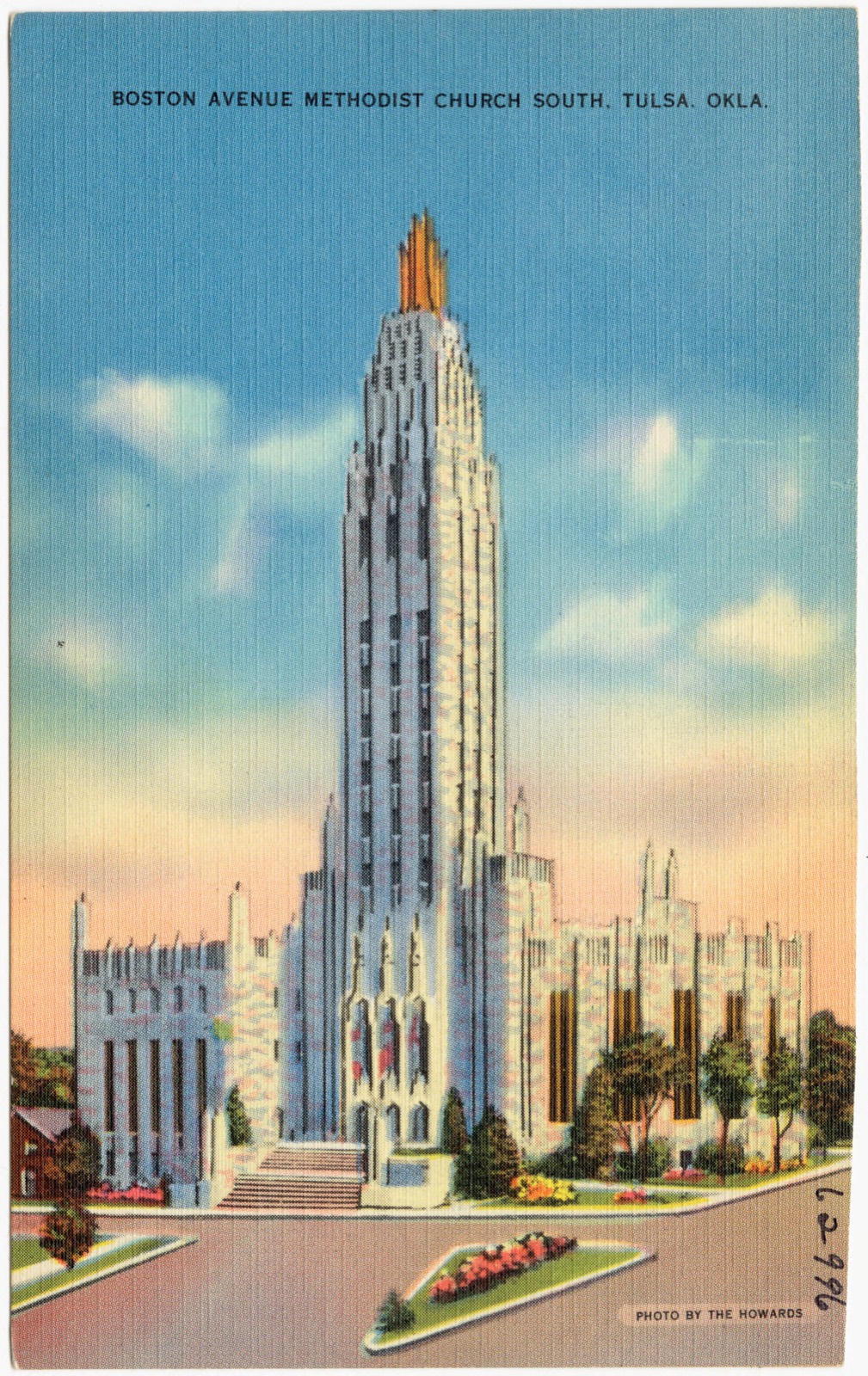
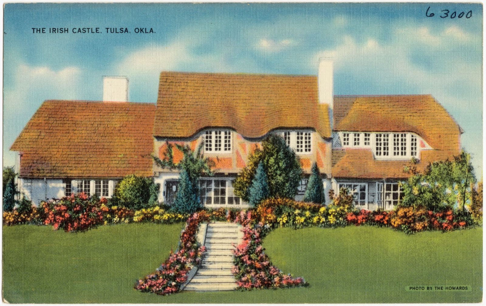
Selected from the Digital Public Library of America's 98 image records catalogued for this county. Every one shown here carries a public-domain status or a licence that permits reuse on a site that carries advertising; non-commercial, share-alike and restricted images are excluded. The selection is spread across the county's towns (at most eight per town), so no single institution's bulk upload crowds out the rest. Each opens the holding library's record, and the complete set at the Digital Public Library of America is one click away.



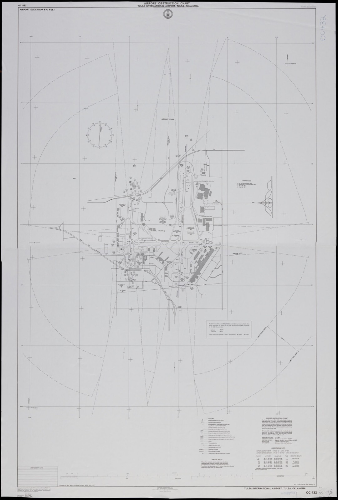


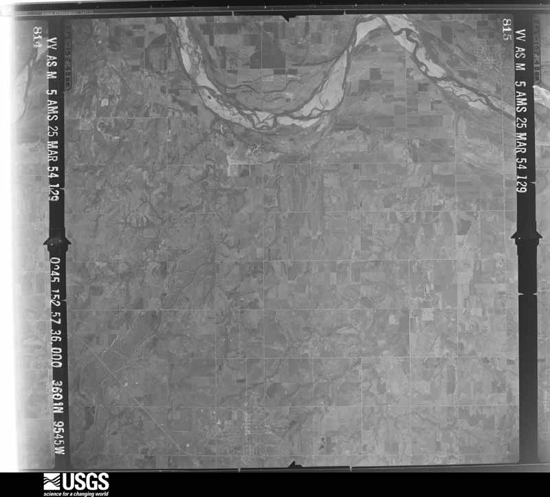
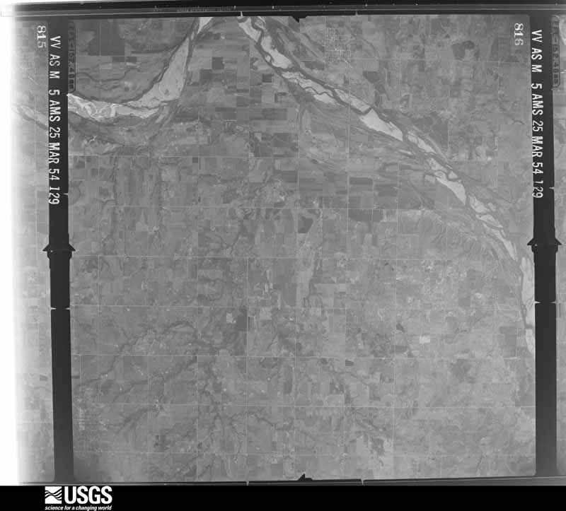
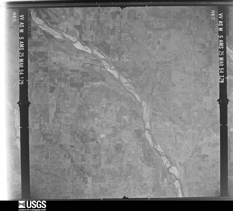
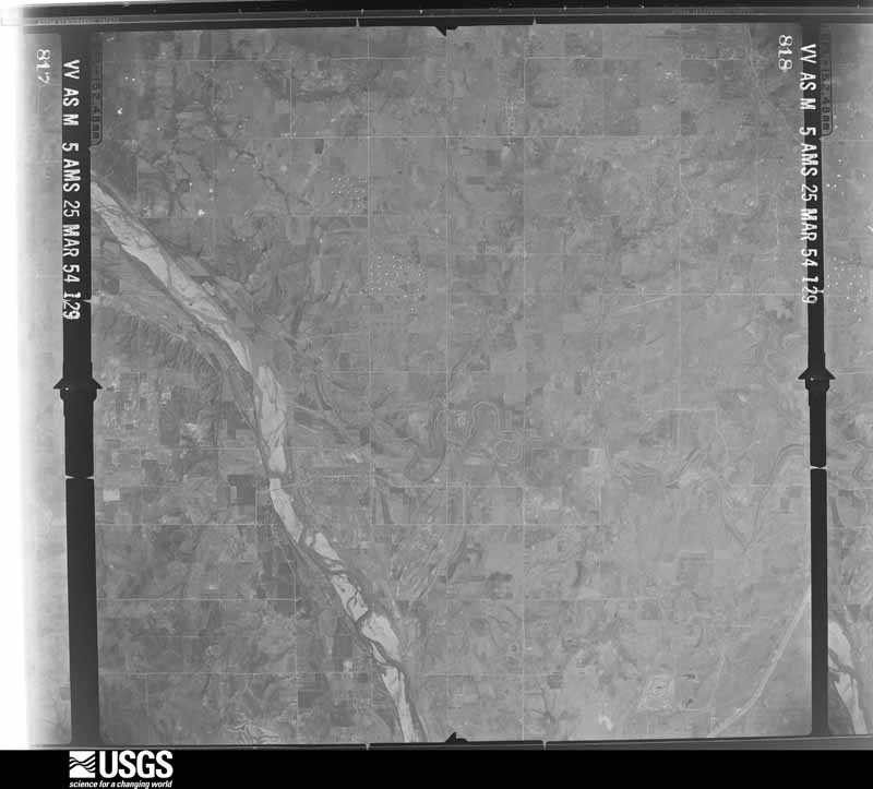
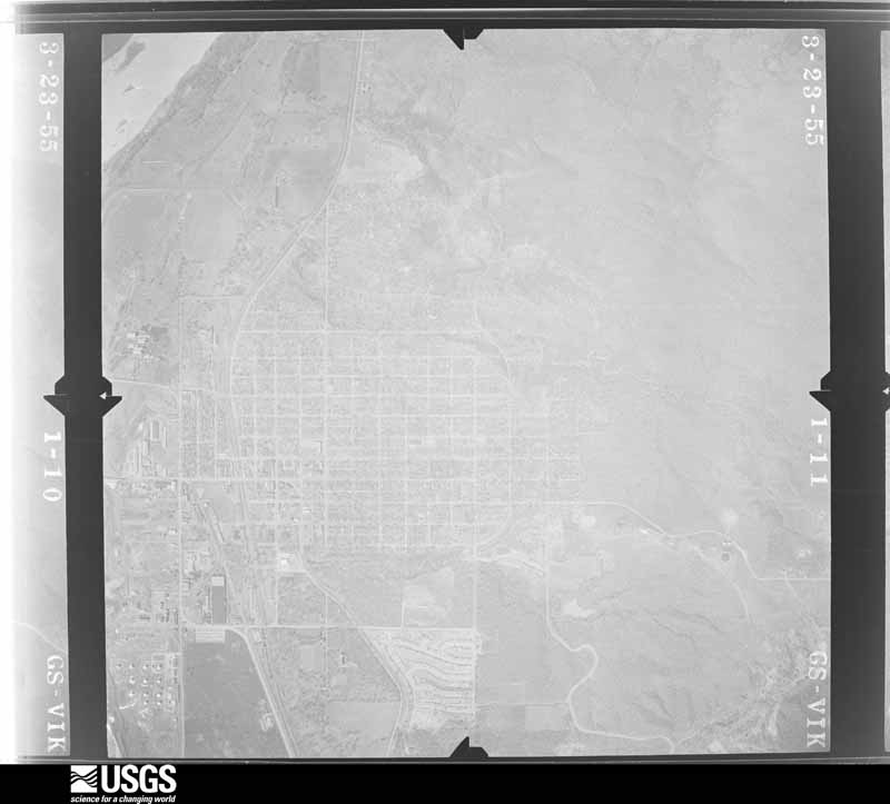
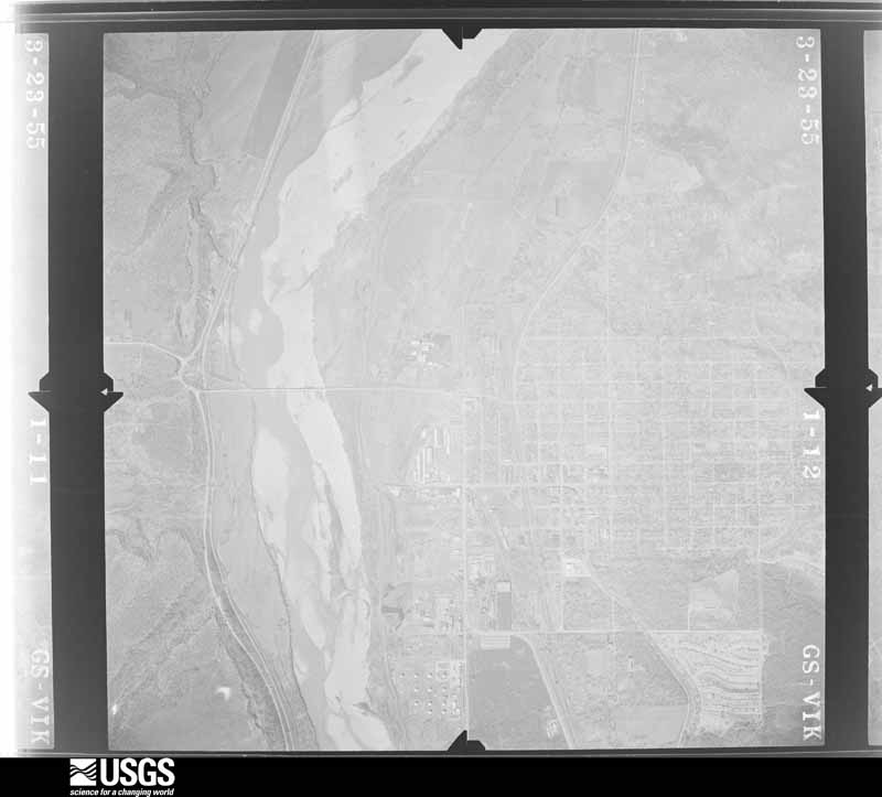
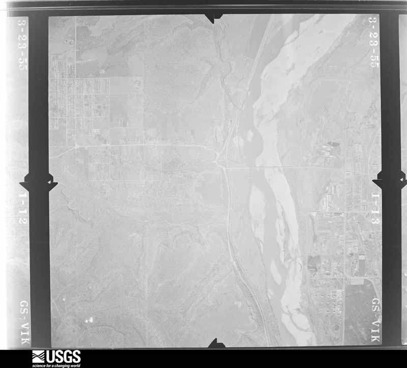
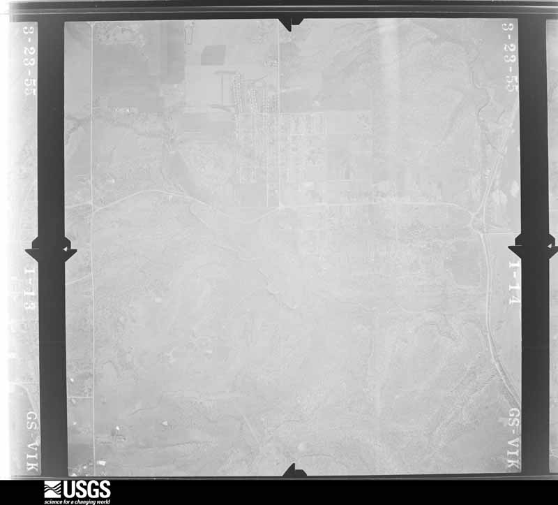
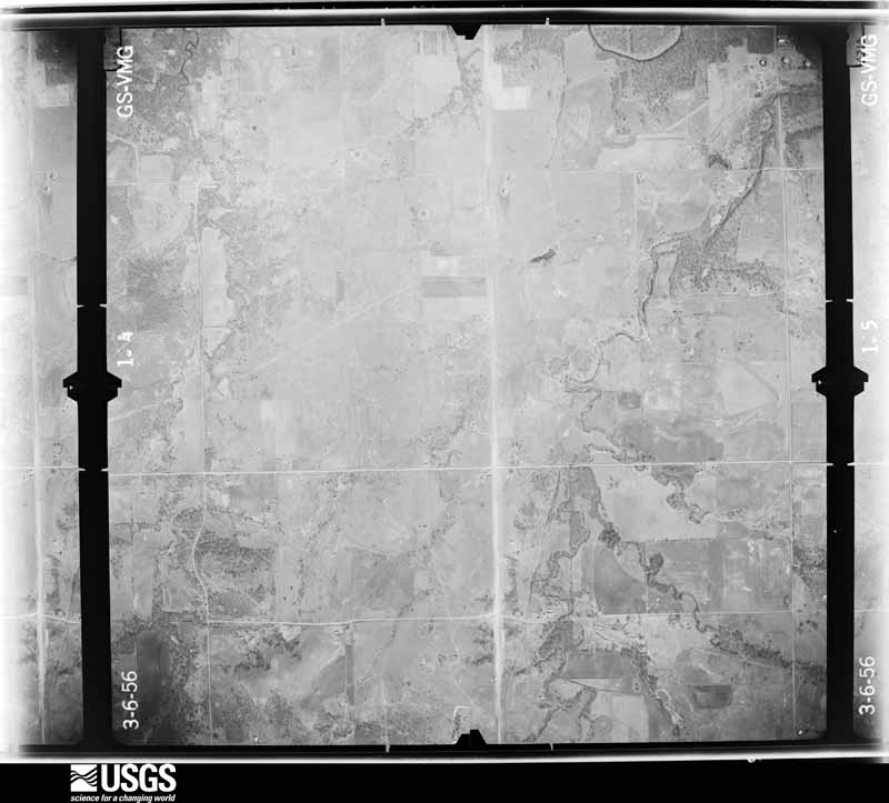
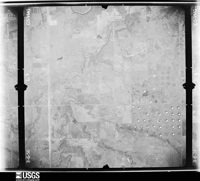
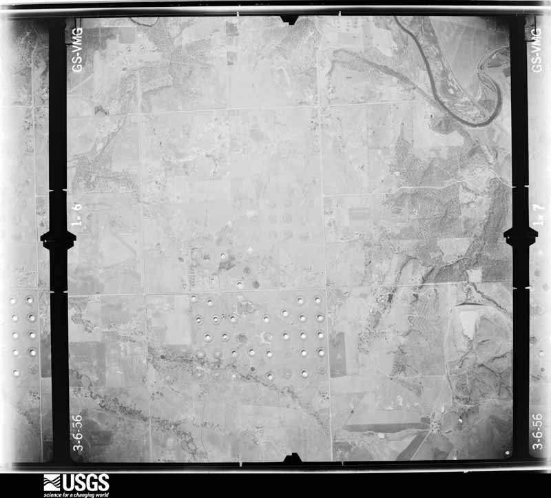
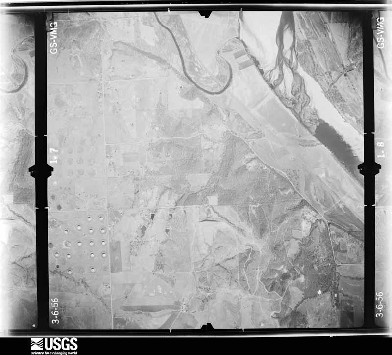
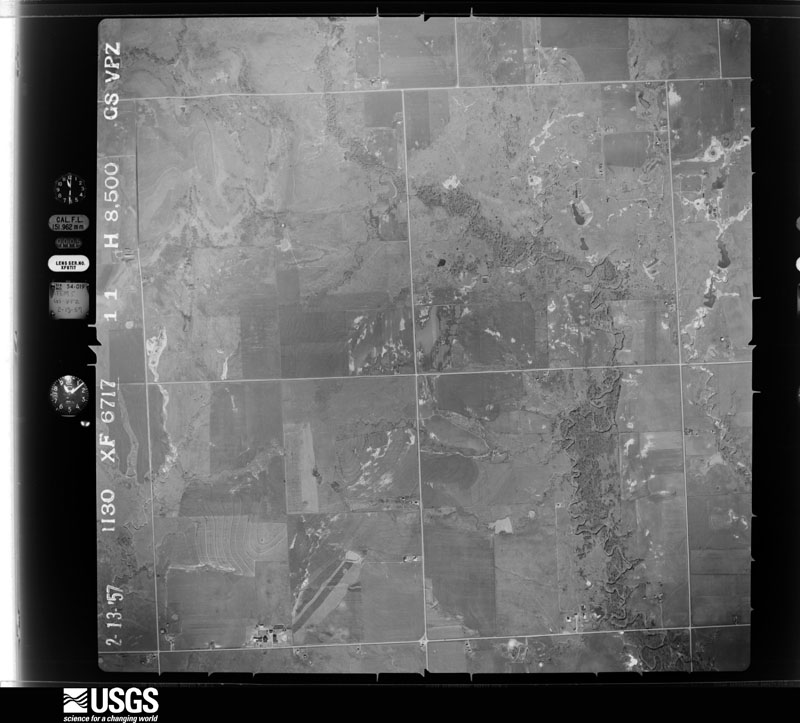
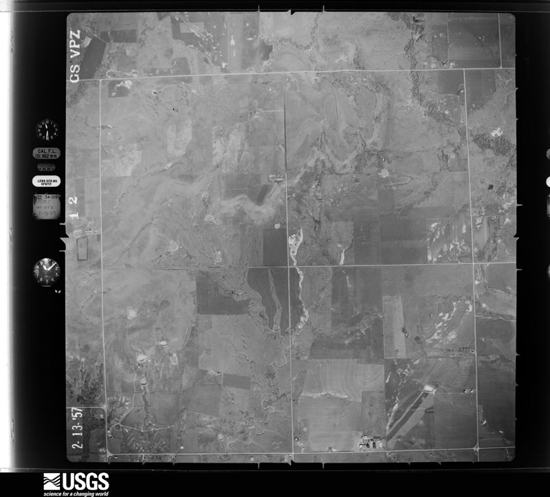
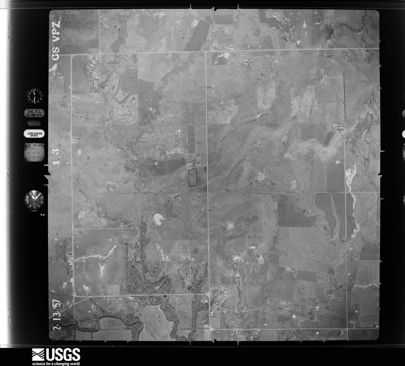
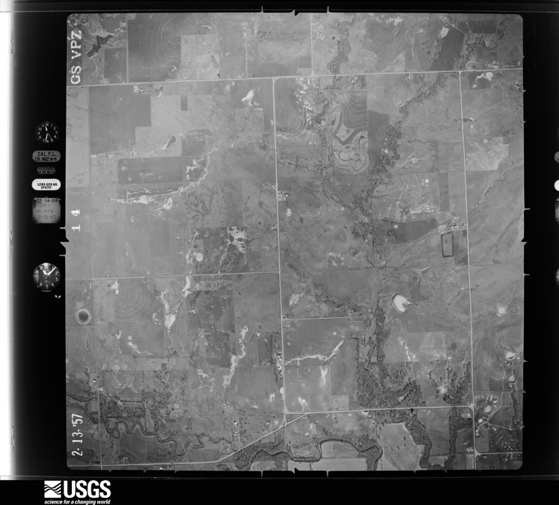
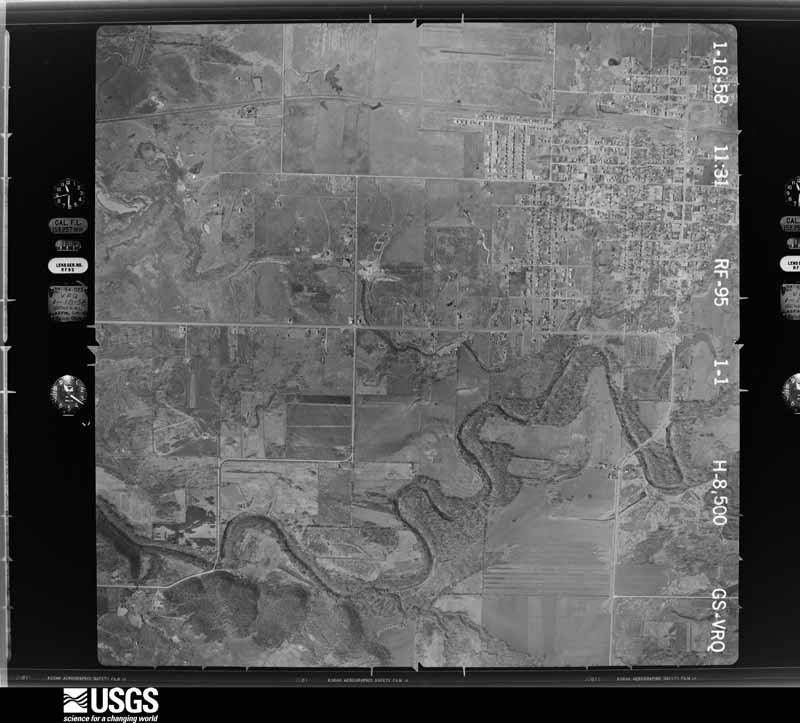
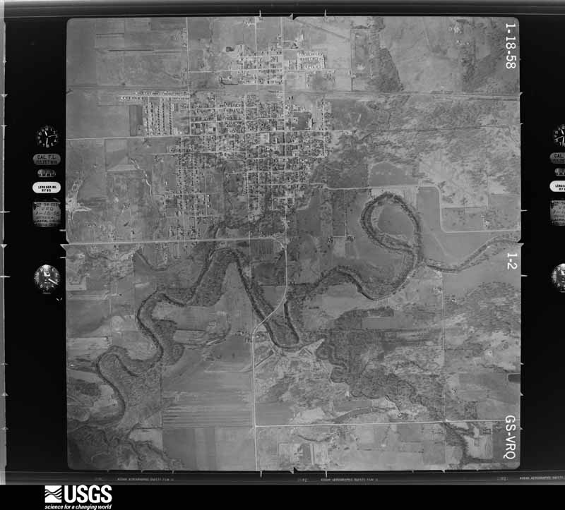
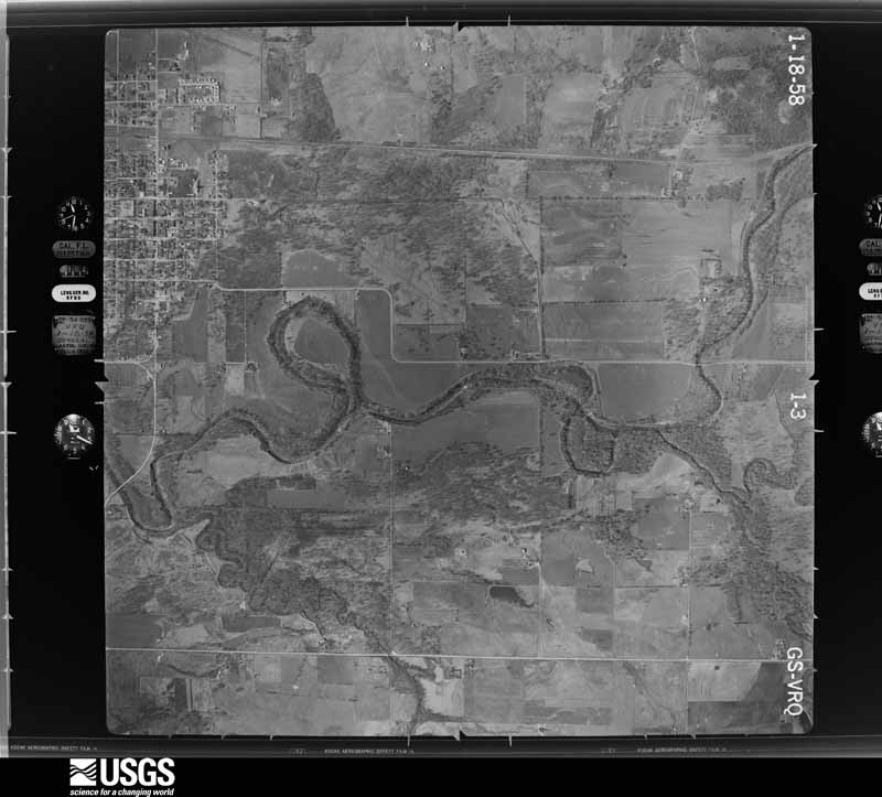
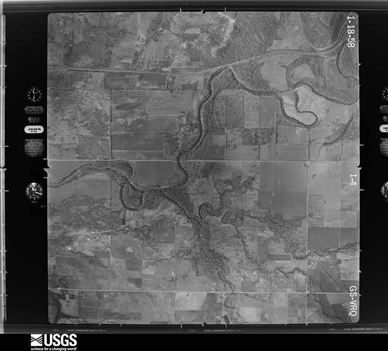
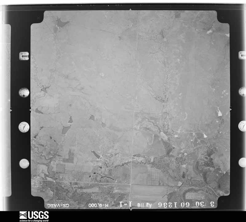
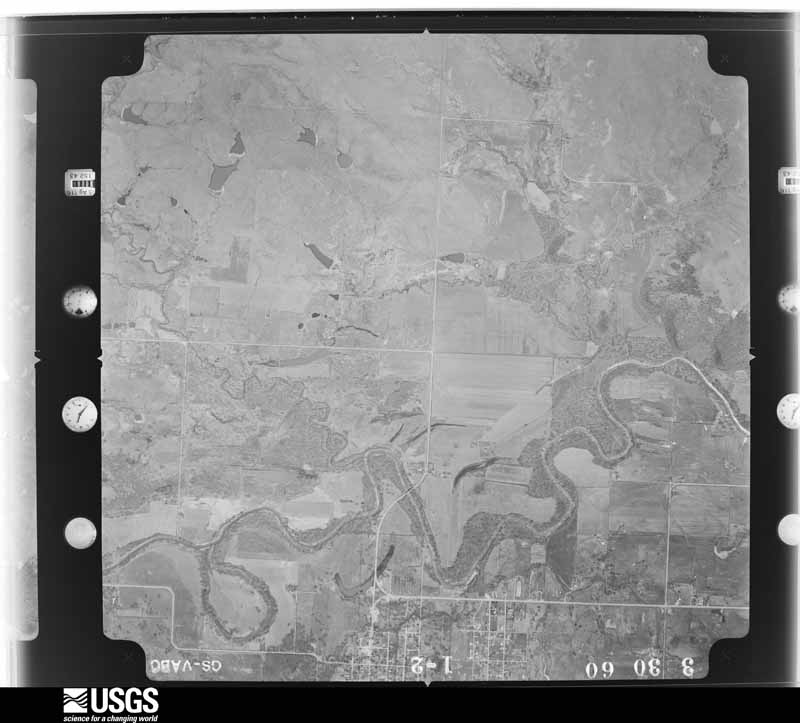
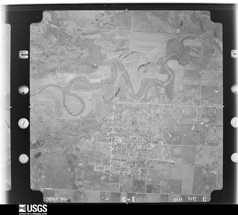
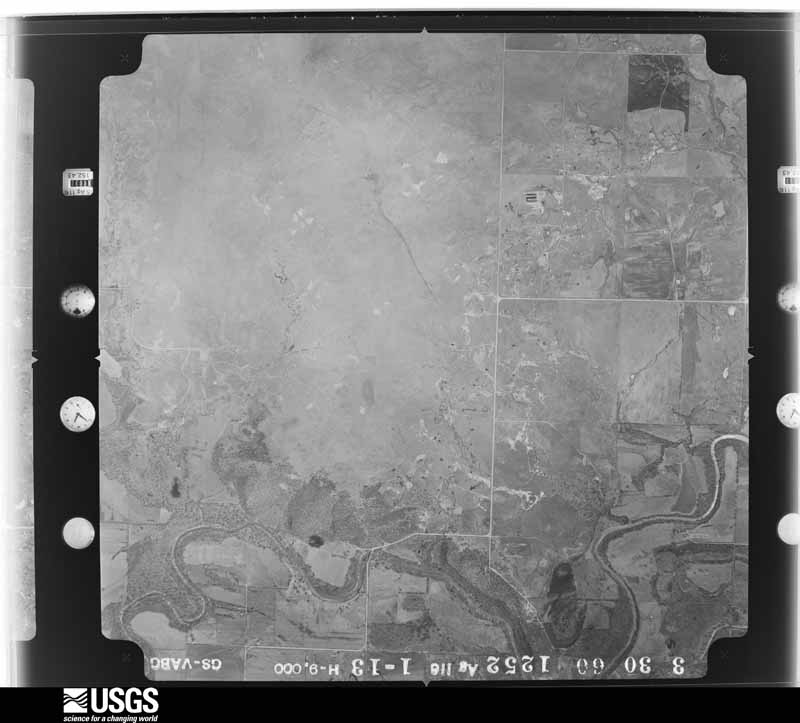
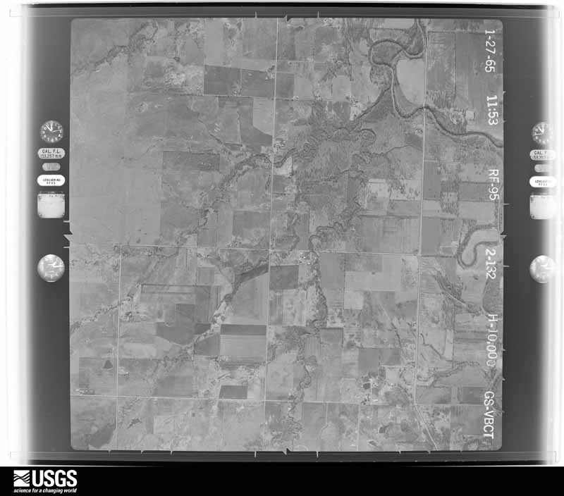
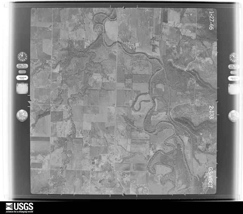
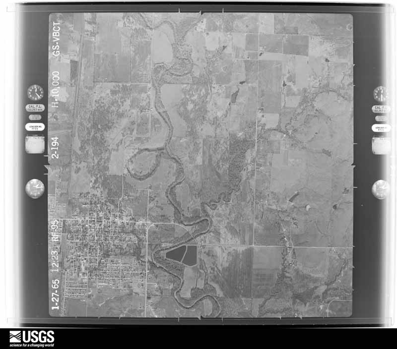
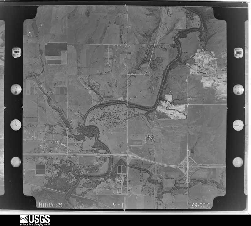
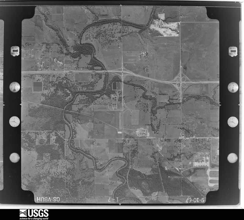
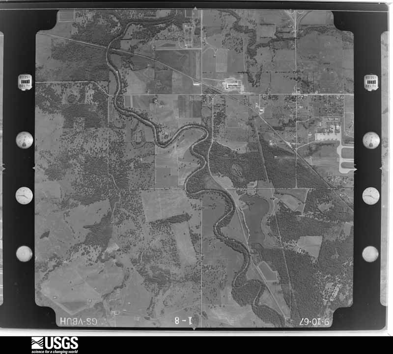
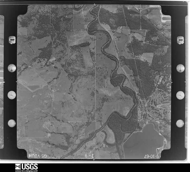
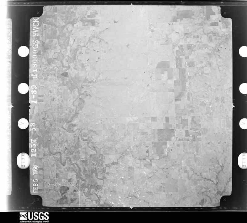
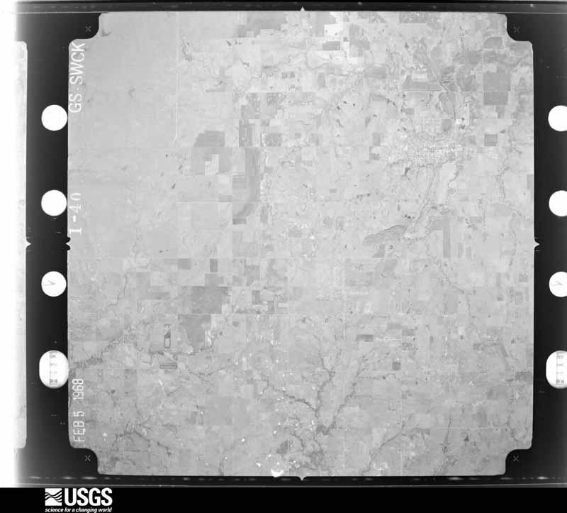
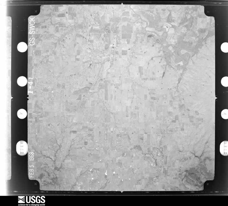
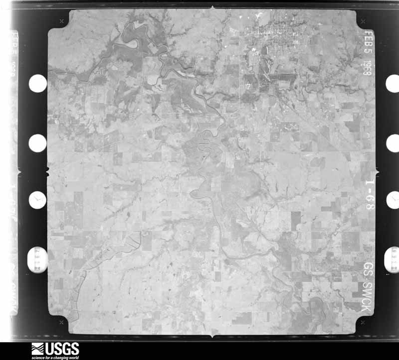
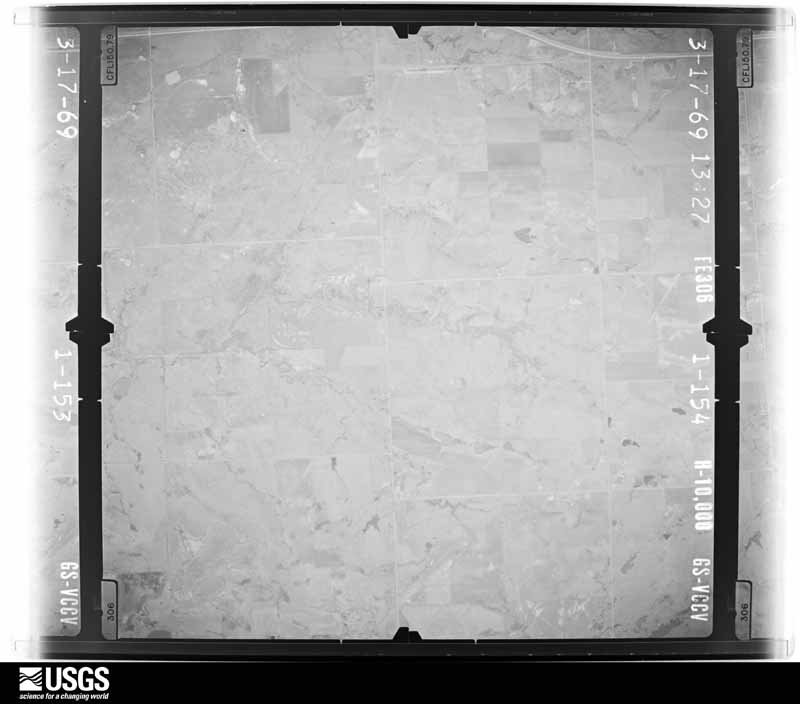
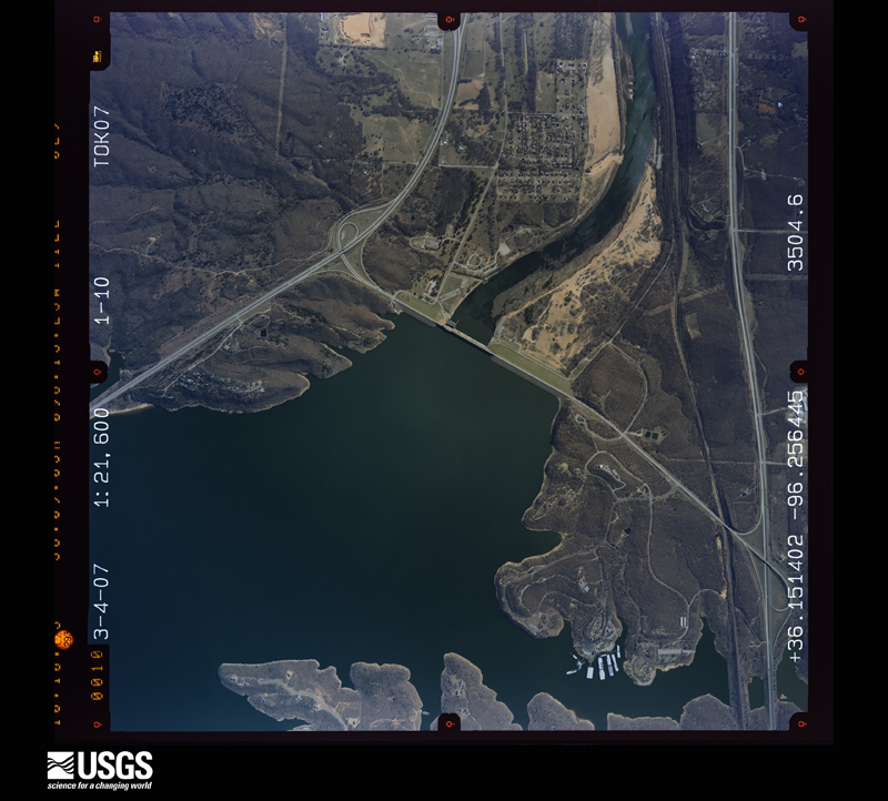
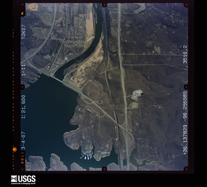
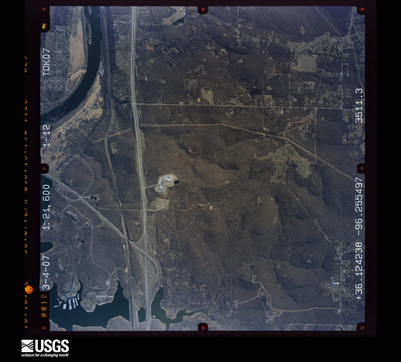
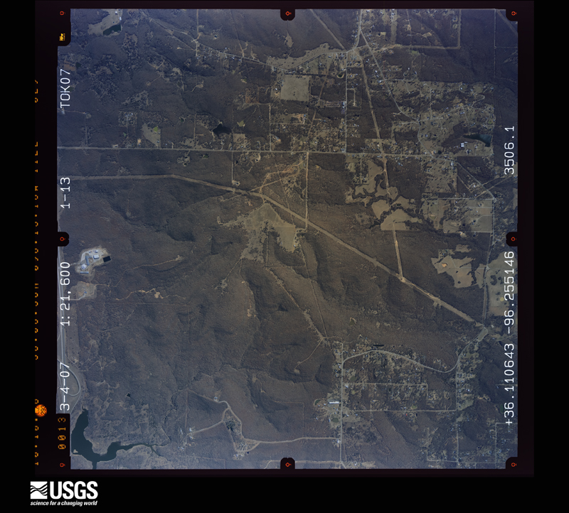
Flown by the U.S. Geological Survey between 1937 and 1989, the Aerial Photo Single Frames collection is the definitive mid-century view of the land: fields, roads and rivers as the camera saw them. The Survey holds 2,221 frames inside the rectangle that bounds this county; the 47 frames below were taken over the county itself, chosen across the decades of flights (at most four a year from that rectangle), so one flight cannot crowd out the rest. The full set is free to browse and download at EarthExplorer under the dataset Aerial Photo Single Frames.



The thermometers that kept this county's weather, and the gages that measured the flow of its streams, as the federal records hold them. The extremes below are measured values from those records, not estimates.
Who lived here in 1950, one enumeration district at a time, as the Census Bureau described each district. Each row opens its official National Archives result, with Population Schedules and ED Maps available there.
Every wildfire the federal occurrence database records inside this county: 43 of them, burning about 12,984 acres. 2 started naturally and 13 were recorded as arson. Each settlement page carries the fires within five miles of it.
| Reported cause | Fires |
|---|---|
| Arson/incendiarism | 13 |
| Debris and open burning | 10 |
| Missing data/not specified/undetermined | 10 |
| Power generation/transmission/distribution | 3 |
| Equipment and vehicle use | 3 |
| Natural | 2 |
| Smoking | 1 |
| Other causes | 1 |
The five largest, by the area the report gives. Four of them were set deliberately.
| Date | Cause | Size | Reported by | Name on the report |
|---|---|---|---|---|
| 2 April 2011 | Debris and open burning | 3,340 acres | Okmulgee Field Office | EAST |
| 12 January 2009 | Missing data/not specified/undetermined | 2,400 acres | Oklahoma Division of Forestry | LAKE BIXHOMA |
| 12 March 2018 | Arson/incendiarism | 1,791 acres | Okmulgee Field Office | FLYING G |
| 8 November 2012 | Arson/incendiarism | 800 acres | Oklahoma Division of Forestry | 40312 |
| 12 January 2009 | Arson/incendiarism | 650 acres | Cherokee Nation Tribe | NE 30080 |
| 15 January 2006 | Arson/incendiarism | 550 acres | Osage Agency | SPERRY |
| 7 March 2010 | Debris and open burning | 488 acres | Okmulgee Field Office | SEVEN MILE FIRE |
| 15 March 2006 | Missing data/not specified/undetermined | 413 acres | Oklahoma Division of Forestry | SLICK 2 |
Every settlement page carries the fires within five miles of it - see the settlement index below.
The NOAA Storm Events Database holds 2,394 reports for this county, causing 28 deaths, 464 injuries and about $710,249,370 in recorded property damage. Each settlement page carries the reports that name it.
| Kind of event | Reports |
|---|---|
| Hail | 1094 |
| Thunderstorm Wind | 873 |
| Flash Flood | 246 |
| Tornado | 98 |
| Flood | 55 |
| Lightning | 19 |
| Heavy Rain | 7 |
| Cold/Wind Chill | 1 |
| Funnel Cloud | 1 |
The most serious of them, by death, then injury, then recorded damage. The accounts are quoted exactly as the forecast office filed them.
| When | Event | Place named | Harm | What the report says |
|---|---|---|---|---|
| April 1993 | Tornado (F4) | E Tulsa to 1 N | 7 killed, 100 hurt, $500,000 | no account filed |
| April 1981 | Tornado (F3) | not stated | 5 killed, 49 hurt, $2,500,000 | no account filed |
| June 1974 | Tornado (F3) | not stated | 2 killed, 70 hurt, $25,000,000 | no account filed |
| April 2025 | Flood | Leonard | 2 killed | Locally heavy rainfall during the morning of the 20th resulted in high flows through area low water crossings. A vehicle was driven into one such low water crossing, and was washed downstream. Two people exited the vehicle in the flood, and got to safety, while two others drowned in the flood water. The victims weren't recovered until the following day, with around 100 first responders participating in the search efforts. |
| May 2019 | Flood | Prattville | 2 killed | The Arkansas River near Tulsa rose above its flood stage of 18 feet at 12:30 am CDT on May 22nd. The river crested at 23.41 feet at 3:00 pm CDT on the 29th, resulting in major flooding. This was the second highest crest on record. Severe flooding occurred along the Arkansas River in Tulsa County, with some homes in south Tulsa and Bixby flooded. Riverside Drive in Tulsa was closed in places. A man fell into the river in Tulsa on the 26th, and another waded into the river. Both men drowned. Monetary damage from this flood is unknown. The river remained above flood stage through the end of May, and finally fell below flood stage at 6:30 am CDT on June 1st. |
| March 2015 | Tornado (EF2) | Wekiwa | 1 killed, 30 hurt, $2,000,000 | This is the third segment of a three segment tornado. The tornado moved into Tulsa County at W Archer Road to the east of S 209th W Avenue. The roofs of several homes were damaged and trees were uprooted as it crossed S 193rd W Avenue. The tornado moved southeast crossing Highway 412, where it snapped or uprooted numerous trees and blew a tractor trailer off the road. A doughnut shop was destroyed at S 177th W Avenue, homes were damaged, and trees and poles were snapped. It crossed the Arkansas River and moved through the River Oaks Estates Mobile Home Park where it destroyed 58 mobile homes and two permanent homes. One fatality and about 30 injuries occurred in this park. The tornado crossed the Arkansas River again as it moved east-southeast toward Sand Springs, uprooting numerous trees before dissipating on the south side of Sand Springs, south of Highway 412 and just west of Highway 97. Based on this damage, maximum estimated wind in this segment of the tornado was 125 to 135 mph. |
| July 2005 | Lightning | Broken Arrow | 1 killed, 1 hurt | Two teenagers were struck by lightning when it struck a tree under which they were playing. Both teenagers went into cardiac arrest as a result of the strike but were revived and taken to the hospital. One of the teenagers later died (on October 11, 2005) from injuries and complications of those injuries. The other teenager was released after a prolonged period of hospitalization but must undergo extensive speech, physical, and occupational health therapy as a result of the lightning strike. |
| May 2000 | Flash Flood | Countywide | 1 killed, $3,000,000 | Heavy rains fell across Tulsa county beginning the evening of May 5 and continuing through the night before ending the morning of May 6. The bulk of the rain fell over the western and southern parts of the county with 6.81 inches at Sand Springs and 5.84 inches at Jenks. Tulsa International Airport recorded 2.83 inches of rain. The most damage due to the flooding occurred in the Meadow Valley subdivision in Sand Springs. 115 homes were flooded in this subdivision as Fisher Creek overflowed. Flood damage was also reported in Jenks, Bixby, Glenpool, south Tulsa and Broken Arrow. Numerous roads and intersections were flooded. A few of the highways which were closed were Highway 75 near Glenpool, Highway 11 at 86th Street North and Highway 51 at 137th West Avenue. Damage to roads, bridges and infrastructure was estimated at $200,000. In addition to the property damage caused by the flood there was one fatality. Approximately 5 am cdt, a woman was traveling south on Sheridan Avenue in Tulsa between 71st street and 81st street. She drove her car into a stream which was flooding the road. Her car stalled and the water was rising so she got out of the car and was swept away. Her body was found a half mile downstream later that day. |
| June 1983 | Tornado (F2) | not stated | 1 killed, $25,000 | no account filed |
| April 1998 | Flash Flood | Countywide | 1 killed, $12,000 | no account filed |
| April 2024 | Flood | Dawson | 1 killed | Thunderstorms with heavy rainfall moved into Tulsa, and resulted in minor flooding of portions of city streets and low-lying areas. Two homeless people were sleeping near a storm drain at E Admiral Place and S Memorial Drive, one of which was swept into the storm drain and was washed away. She was found deceased the next morning about 100 feet inside the storm drain. |
| April 2019 | Flood | Alsuma | 1 killed | A vehicle was driven off the road, possibly due to hydroplaning, and down an embankment. The vehicle slid into a flooded culvert and then was washed downstream into a creek. The driver of the vehicle drowned, and was found the next morning in Mingo Creek about 4000 feet downstream from where the vehicle entered the flood water. |
| December 2015 | Flood | Atlantic | 1 killed | Several roads were closed due to flooding. A woman drove into flood waters on Mingo Road between 191st Street South and 201st Street South and was drowned. |
| October 2012 | Flash Flood | Tulsa | 1 killed | Three teenagers were playing near rain-swollened Coal Creek in north Tulsa. Two of the three teenagers got out of the water safely but one was washed downstream and drown by the flood waters. He was found the following morning about a mile and a half downstream from where they were playing. |
| August 2005 | Thunderstorm Wind | Tulsa | 1 killed | Thunderstorm winds estimated at 70 miles an hour blew down a three foot diameter tree. The tree fell on a pick up truck that was stopped at a traffic light near the 5600 block of South Peoria. The man in the truck died as the cabin was crushed by the tree. |
| October 2007 | Thunderstorm Wind | Tulsa | 50 hurt, $100,000 | Strong thunderstorm winds with gusts estimated up to 80 miles an hour moved into the Tulsa area. Oktoberfest, an annual outdoor festival, was underway at the time. The wind destroyed several large tents at the venue, in which hundreds of people were located as the storms moved through the area. At least fifty people were injured when the tents collapsed and/or from flying debris, two of which were critically injured. |
| December 1975 | Tornado (F3) | not stated | 38 hurt, $25,000,000 | no account filed |
| June 1974 | Tornado (F3) | not stated | 35 hurt, $25,000,000 | no account filed |
| August 2017 | Tornado (EF2) | Tulsa | 30 hurt, $50,000,000 | This tornado developed over a neighborhood east of S Harvard Avenue and south of E 36th Street S, where large tree limbs were snapped and homes were damaged. The tornado moved east-southeast crossing S Yale Avenue where numerous trees and power poles were snapped. Numerous businesses were damaged or destroyed between S Yale Avenue and S Sheridan Road along and within a few blocks of E 41st Street S. Some of the worst damage in the path was in this area. Some of the businesses in the area had the roofs blown off the structure and some had exterior walls blown down. Several vehicles were rolled in this area, and reportedly 30 people were injured there. Numerous other businesses sustained mainly roof, wall, and window damage between S Sheridan Road and Highway 169. Many power poles and trees were also blown down in this area. The tornado turned more easterly near Highway 169 and moved roughly along E 51st Street S, dissipating just before reaching N Aspen Avenue (S 145th East Avenue). Based on this damage, maximum estimated wind in the tornado was 120 to 130 mph. |
| April 1981 | Tornado (F3) | not stated | 7 hurt, $250,000,000 | no account filed |
| December 1982 | Tornado (F2) | not stated | 7 hurt, $2,500,000 | no account filed |
| March 2016 | Tornado (EF2) | Tul Downtown Arpk | 7 hurt, $2,000,000 | This is the second segment of a three segment tornado. In Tulsa County, the tornado moved east-northeast, roughly along E 46th Street N to the west of Highway 75. It damaged more than 300 homes, and thirteen churches and businesses. Seven people were injured in north Tulsa. Numerous trees were snapped or uprooted and numerous power poles were snapped. The tornado moved east-northeast across Mohawk Park where it snapped and uprooted numerous trees. Several large, metal-framed, industrial buildings were significantly damaged north-northeast of the Tulsa International Airport on N Mingo Road. The tornado then crossed Highway 169 just south of the Bird Creek Bridge where it destroyed several barns and snapped numerous trees along E 56th Street N. Based on this damage, maximum estimated wind in this segment of the tornado was 110 to 120 mph. The tornado continued into Rogers County, Oklahoma. |
| April 2006 | Tornado (F1) | (Tul)Tulsa Intl Arpt | 7 hurt, $250,000 | A tornado developed along the leading edge of a line of thunderstorms. The tornado severely damaged a hotel near the airport injuring seven people, damaged covered parking at the airport, snapped trees, and turned over a sports utility vehicle at the airport. Seventy-five other cars were also damaged by the tornado. |
| November 1985 | Tornado (F1) | not stated | 5 hurt, $25,000,000 | no account filed |
| July 1981 | Tornado (F1) | not stated | 5 hurt, $250,000 | no account filed |
| June 2006 | Thunderstorm Wind | Tulsa | 4 hurt, $2,500,000 | A microburst occurred near the fairgrounds. There was extensive damage north to south from 11th Street to 21st Street and from east to west from Yale to the Broken Arrow Expressway. Wind speeds were estimated at 85 miles an hour based on the damage. 1420 homes were damaged, two of which received major damage as large trees were blown down onto them. At one time, 13,000 residents near the damaged area were without power.There was extensive roof damage at the fairgrounds and several rides at Bell's Amusement park were damaged. The most notable damage was the roof being peeled back at the trade center, the roof being stripped to the sheet metal at the exchange center, and the 80 year old Ferris wheel at Bell's being destroyed. Two churches near the fairgrounds received roof damage.There were four injuries for which people were taken to the hospital. All were considered minor. |
| April 1984 | Tornado (F1) | not stated | 3 hurt, $250,000 | no account filed |
| April 1986 | Tornado (F2) | not stated | 2 hurt, $2,500,000 | no account filed |
| October 2023 | Thunderstorm Wind | Tulsa | 2 hurt, $5,000 | Strong thunderstorm wind blew down a sign at the Tulsa State Fair, injuring two teenagers. |
| June 2004 | Thunderstorm Wind | Tulsa | 1 hurt, $4,000,000 | Thunderstorm winds estimated near 80 miles an hour blew glass windows out of the the Adams Mark Hotel downtown. Not too far away the Wiltel building received structural damage to its northeast facade including several broken glass windows. One person was injured by the breaking glass. Areas just to the south and southeast side of downtown suffered major power outages which took days to completely fix.As many as 70,000 Tulsa area customers were without power at the peek of the outage. American Electric Power estimated the cost was several million dollars to repair the damages in the Tulsa area. |
| April 1984 | Tornado (F2) | not stated | 1 hurt, $2,500,000 | no account filed |
| April 1981 | Tornado (F3) | not stated | 1 hurt, $2,500,000 | no account filed |
| July 1992 | Tornado (F3) | not stated | 1 hurt, $250,000 | no account filed |
| May 2019 | Tornado (EF1) | Tulsa | 1 hurt, $125,000 | This tornado developed just south of E Pine Street at N Rockford Avenue and moved east. The tornado damaged a number of homes and structures, blew down trees, and snapped two power poles. A man was injured when a large tree fell onto his house. The tornado dissipated just north of E Pine Street near N Oswego Avenue. Based on this damage, maximum estimated wind in the tornado was 90 to 100 mph. |
| May 1966 | Tornado (F2) | not stated | 1 hurt, $25,000 | no account filed |
| June 1999 | Thunderstorm Wind | Tulsa | 1 hurt, $15,000 | A 90-foot tall, 3-foot diameter Cottonwood tree blew over, crashing through the roof of a home west of downtown Tulsa near 65th West Avenue and Charles Page Boulevard. Another 2-foot diameter tree and several large tree limbs were blown down. Nearby, a woman spending the night in a fireworks tent was hit in the head by a flying tent pole, causing a minor injury.The strong winds associated with this storm report were an isolated occurrence along a line of thunderstorms spreading to the southeast. Most other places saw winds gusting to 40 miles an hour. |
| May 1971 | Tornado (F1) | not stated | 1 hurt, $250 | no account filed |
| October 1983 | Tornado (F0) | not stated | 1 hurt, $30 | no account filed |
| June 2003 | Lightning | Tulsa | 1 hurt | A seventeen year old boy was struck by lightning near the 6300 block of North Denver Avenue. He was taken to a hospital for treatment by an ambulance. |
| September 1992 | Thunderstorm Wind | not stated | 1 hurt | no account filed |
| November 1985 | Thunderstorm Wind | not stated | 1 hurt | no account filed |
| June 2023 | Thunderstorm Wind | Wekiwa | $160,000,000 | Thunderstorm wind, gusting to over 100 mph at times, resulted in at least $160 million in estimated damage across Tulsa County during this severe thunderstorm. Debris removal and damage to the utility infrastructure across the county accounted for about $57 million of that estimate. Some people were without power for over a week. |
| April 2005 | Hail | Jenks | $65,000,000 | A supercell thunderstorm moved north-northeast across the central portion of Tulsa County producing a several mile wide swath of large, damaging hail. Reports of golfball or larger hail was common in a densely populated area of the county from Jenks to across the City of Tulsa. The largest hailstones reported were 3 inches in diameter. Many automobiles, homes, and businesses were damaged by the hailstorm. |
| November 2003 | Hail | Tulsa | $20,000,000 | Baseball hail was reported at 31st and Harvard and then again at 21st and Harvard. The hail broke windows and damaged numerous roofs of buildings and cars. Damage is estimated; pending supplemental insurance reports. |
| March 2026 | Tornado (EF1) | Tul Downtown Arpk | $7,000,000 | This is the second segment of a two-segment tornado. The tornado crossed into Tulsa County near W Apache Street. The tornado damaged many homes and snapped numerous large tree limbs between the county line and the Gilcrease Expressway. It continued to move northeast damaging many homes north of the Gilcrease Expressway, and intensified as it approached E 36th Street N. An office building was severely damaged and the Tulsa Technology Center was severely damaged as the tornado approached N Peoria Avenue. Numerous trees were snapped and uprooted in that area. The tornado moved north-northeast across E 46th Street N and dissipated north of E 61st Street N. Many homes were damaged, a few trees were uprooted, numerous large tree limbs were snapped, and mobile homes were damaged in that portion of the path. Based on this damage, maximum estimated wind in this segment of the tornado was 100 to 110 mph. This tornado produced a tornadic debris signature from the KINX WSR-88D. |
| May 1976 | Tornado (F2) | not stated | $2,500,000 | no account filed |
| May 2022 | Flash Flood | Bixby | $2,000,000 | Flooding in Bixby damaged at least 37 homes and four businesses, and flooded roads. Much of the damage was in a neighborhood south of Highway 64 and west of S Mingo Road. |
| June 2006 | Lightning | Glenpool | $2,000,000 | A fuel tank which contained 5 million gallons of gasoline was struck by lightning causing a fire. The fuel tank was part of a tank farm near Glenpool. 800,000 gallons of fuel burned with much of the rest being pumped out of the tank. The tank was originally 48 feet tall and when the fire was finally put out by covering it with a chemical foam it stood at 20 feet tall. The fire started early in the morning and was put out early that evening. Residents from five surrounding homes voluntarily evacuated. Traffic on nearby Highway 75 was rerouted for a time. |
| March 2000 | Hail | Tulsa | $2,000,000 | Tennis ball size hail was reported by an off duty National Weather Service employee near 101st street and Sheridan Avenue. This hail was part of a large swath of large hail which fell from downtown Tulsa through western and southern parts of the city of Tulsa. The hail damaged many cars and roofs as well as being driven by wind through numerous windows. |
| May 1999 | Tornado (F1) | Tulsa | $2,000,000 | A tornado that originally touched down on the north side of Sapulpa traveled northeast, eventually reaching Tulsa County. This tornado caused considerable damage in several neighborhoods on the southwest side of the city of Tulsa. The majority of the damage was confined to an area roughly bounded on the east by 33rd West Avenue, on the west by 41st West Avenue, on the north by Union Avenue, and on the south by 65th Street South. The most publicized damage occurred at the Carbondale Assembly of God Church (2135 West 51st Street), where the second story of the building was reduced to rubble. Remington Elementary School (2524 W. 53rd Street) was damaged to the point where students had to finish the last two weeks of class elsewhere. The West Regional Library (2224 W. 51st Street) lost about one-third of its roof, and Fire Station #26 sustained minor damage. Four industrial businesses sustained damage, and 70 homes were damaged by the tornado. Damage in Tulsa County is estimated at $2 million. For more information on the Creek County portion of this tornado, see the Tornado entry for Creek County. The combined path length through Creek and Tulsa Counties is 7 miles. |
| April 2008 | Hail | Tulsa | $1,000,000 | Golfball size hail fell near the intersection of Mingo Road and 91st Street South. Extensive damage to homes, businesses, and automobiles occurred. |
| May 2000 | Hail | Tulsa | $1,000,000 | At 908 pm cdt baseball size hail fell at 81st and Yale.At 908 pm cdt quarter size hail fell at 81st and Memorial.At 910 pm cdt golfball size hail fell at 81st and Sheridan.At 916 pm cdt golfball size hail fell at 91st and Memorial. |
| April 2025 | Tornado (EF1) | Turley | $500,000 | This is the first segment of a two-segment tornado. This tornado developed just west of Highway 75 and south of E 76th Street N, where large tree limbs were snapped. It moved east-northeast damaging several industrial buildings east of Highway 75, then moved northeast across a subdivision north of E 76th Street N, where numerous homes were damaged, trees were blown down, and power poles were snapped. The tornado then moved across several neighborhoods east of N Mingo Road and west of Highway 169, where numerous homes were damaged, trees were snapped or uprooted, and power poles were snapped. It then crossed into Rogers County near E 106th Street N. Based on this damage, maximum estimated wind in this segment of the tornado was 100 to 110 mph. |
| May 2010 | Tornado (EF2) | Bozarth | $500,000 | The tornado that developed on the west side of Sapulpa in Creek County moved northeast across the City of Tulsa. The tornado severely damaged a number of homes just west of Highway 75, where the most intense damage was noted. Numerous other homes and businesses were damaged as it moved through Tulsa. The tornado snapped or uprooted numerous trees, and blew down numerous power poles. The estimated peak wind in this tornado based on the most intense damage to homes was 120 mph. |
| April 2006 | Thunderstorm Wind | (Tul)Tulsa Intl Arpt | $500,000 | Strong thunderstorm wind damaged four airplanes at Tulsa International Airport and broke out car windows. |
| May 2000 | Hail | Tulsa | $500,000 | Tennis ball size hail fell on the north side of Tulsa. |
| May 2001 | Hail | Owasso | $500,000 | no account filed |
| April 1993 | Thunderstorm Wind | Tulsa | $500,000 | no account filed |
| March 2015 | Thunderstorm Wind | West Tulsa | $300,000 | Strong thunderstorm wind blowing from the north to south damaged numerous homes, snapped or uprooted numerous trees, and blew down power poles. A building had the north-facing wall blown in and the roof above it collapsed. Seventy-five young girls were in the building at the time and sheltered in the basement just before the storm severely damaged the building. No injuries resulted from this damage. |
| May 2024 | Hail | Broken Arrow | $250,000 | Hail slightly larger than baseball size damaged vehicles, homes, and businesses. |
The Survey's mineral resources record lists 102 workings inside this county. 27 still produce and 75 are closed or unrecorded. Each settlement page carries the workings within five miles of it.
| Commodity | Workings |
|---|---|
| Sand and Gravel, Construction | 74 |
| Stone, Crushed/Broken | 18 |
| Clay | 9 |
| Silica | 1 |
The least common of them first, because a county's hundredth gravel pit says nothing its first ten did not.
| Where | Site | Commodity | Status | Recorded |
|---|---|---|---|---|
| Plant No.3 | Silica | Producer | ||
| Acme Brick Co Shale Pit | Clay | Producer | ||
| Unknown Clay Pit | Clay | Past Producer | ||
| Unknown Shale Pit | Clay | Past Producer | ||
| Unknown Shale Pit | Clay | Past Producer | ||
| Unknown Shale Pit | Clay | Past Producer | ||
| Unknown Shale Pit | Clay | Past Producer | ||
| Unknown Shale Pit | Clay | Past Producer | ||
| Unknown Shale Pit | Clay | Past Producer | ||
| Unknown Shale Pit | Clay | Past Producer | ||
| Anchor Stone Co Limestone Pit | Stone, Crushed/Broken | Producer | ||
| Anchor Stone Company | Stone, Crushed/Broken | Producer | ||
| Chandler Materials Limestone Pit | Stone, Crushed/Broken | Producer | ||
| East Quarry and Plant | Stone, Crushed/Broken | Producer | ||
| No. 1 Quarry and Mill | Stone, Crushed/Broken | Producer | ||
| Unknown Limestone Pit | Stone, Crushed/Broken | Past Producer | ||
| Unknown Limestone Pit | Stone, Crushed/Broken | Past Producer | ||
| Unknown Limestone Pit | Stone, Crushed/Broken | Past Producer | ||
| Unknown Limestone Pit | Stone, Crushed/Broken | Past Producer | ||
| Unknown Limestone Pit | Stone, Crushed/Broken | Past Producer | ||
| Unknown Limestone Pit | Stone, Crushed/Broken | Past Producer | ||
| Unknown Limestone Pit | Stone, Crushed/Broken | Past Producer | ||
| Unknown Limestone Pit | Stone, Crushed/Broken | Past Producer | ||
| Unknown Sandstone Pit | Stone, Crushed/Broken | Past Producer | ||
| Unknown Sandstone Pit | Stone, Crushed/Broken | Past Producer | ||
| Unknown Sandstone Pit | Stone, Crushed/Broken | Past Producer | ||
| Unknown Sandstone Pit | Stone, Crushed/Broken | Past Producer | ||
| Unknown Sandstone Pit | Stone, Crushed/Broken | Past Producer | ||
| Amulco Sand Plant #33 | Sand and Gravel, Construction | Producer | ||
| Anchor Concrete Co Sand Pit | Sand and Gravel, Construction | Producer | ||
| Arkansas No.1 Dredge and Plant | Sand and Gravel, Construction | Producer | ||
| Bixby Plant | Sand and Gravel, Construction | Producer | ||
| Chandler Materials Sand Pit | Sand and Gravel, Construction | Producer | ||
| Chandler Materials Sand Pit | Sand and Gravel, Construction | Producer | ||
| Chandler Materials Sand Pit | Sand and Gravel, Construction | Producer | ||
| Cummins Dredge and Plant | Sand and Gravel, Construction | Past Producer | ||
| Dredge & Plant # 32 | Sand and Gravel, Construction | Producer | ||
| East Tulsa Sand Pit | Sand and Gravel, Construction | Producer | ||
| Empire Dredge and Plant | Sand and Gravel, Construction | Producer | ||
| Empire Sand Co Sand Pit | Sand and Gravel, Construction | Past Producer | ||
| Grace Dredge & Plant | Sand and Gravel, Construction | Past Producer | ||
| Hamilton Pit | Sand and Gravel, Construction | Producer | ||
| Keystone Dredge & Plant #1 | Sand and Gravel, Construction | Producer | ||
| Mc Michael Dredge & Plant | Sand and Gravel, Construction | Producer | ||
| Mcmichael Concrete Co Sand Pit | Sand and Gravel, Construction | Past Producer | ||
| No 1 Dredge & Plant | Sand and Gravel, Construction | Producer | ||
| Sahara Sand Inc Sand & Gravel Pit | Sand and Gravel, Construction | Producer | ||
| Sand Plant No.-2 | Sand and Gravel, Construction | Producer | ||
| Sand Springs Dredge and Plant | Sand and Gravel, Construction | Producer | ||
| Sand Springs Plant and Dredge | Sand and Gravel, Construction | Producer | ||
| Tri Angle Pit #1 | Sand and Gravel, Construction | Producer | ||
| Tulsa Dredge & Plant No 1 | Sand and Gravel, Construction | Producer | ||
| Unknown Gravel Pit | Sand and Gravel, Construction | Past Producer | ||
| Unknown Gravel Pit | Sand and Gravel, Construction | Past Producer | ||
| Unknown Gravel Pit | Sand and Gravel, Construction | Past Producer | ||
| Unknown Gravel Pit | Sand and Gravel, Construction | Past Producer | ||
| Unknown Gravel Pit | Sand and Gravel, Construction | Past Producer | ||
| Unknown Gravel Pit | Sand and Gravel, Construction | Past Producer | ||
| Unknown Gravel Pit | Sand and Gravel, Construction | Past Producer | ||
| Unknown Gravel Pit | Sand and Gravel, Construction | Past Producer | ||
| Unknown Gravel Pit | Sand and Gravel, Construction | Past Producer | ||
| Unknown Gravel Pit | Sand and Gravel, Construction | Past Producer | ||
| Unknown Gravel Pit | Sand and Gravel, Construction | Past Producer | ||
| Unknown Gravel Pit | Sand and Gravel, Construction | Past Producer | ||
| Unknown Gravel Pit | Sand and Gravel, Construction | Past Producer | ||
| Unknown Gravel Pit | Sand and Gravel, Construction | Past Producer | ||
| Unknown Gravel Pit | Sand and Gravel, Construction | Past Producer | ||
| Unknown Gravel Pit | Sand and Gravel, Construction | Past Producer | ||
| Unknown Gravel Pit | Sand and Gravel, Construction | Past Producer | ||
| Unknown Gravel Pit | Sand and Gravel, Construction | Past Producer | ||
| Unknown Gravel Pit | Sand and Gravel, Construction | Past Producer | ||
| Unknown Sand Pit | Sand and Gravel, Construction | Past Producer | ||
| Unknown Sand Pit | Sand and Gravel, Construction | Past Producer | ||
| Unknown Sand Pit | Sand and Gravel, Construction | Past Producer | ||
| Unknown Sand Pit | Sand and Gravel, Construction | Past Producer | ||
| Unknown Sand Pit | Sand and Gravel, Construction | Past Producer | ||
| Unknown Sand Pit | Sand and Gravel, Construction | Past Producer | ||
| Unknown Sand Pit | Sand and Gravel, Construction | Past Producer | ||
| Unknown Sand Pit | Sand and Gravel, Construction | Past Producer | ||
| Unknown Sand Pit | Sand and Gravel, Construction | Past Producer | ||
| Unknown Sand Pit | Sand and Gravel, Construction | Past Producer | ||
| Unknown Sand Pit | Sand and Gravel, Construction | Past Producer | ||
| Unknown Sand Pit | Sand and Gravel, Construction | Past Producer | ||
| Unknown Sand Pit | Sand and Gravel, Construction | Past Producer | ||
| Unknown Sand and Gravel Pit | Sand and Gravel, Construction | Past Producer | ||
| Unknown Sand and Gravel Pit | Sand and Gravel, Construction | Past Producer | ||
| Unknown Sand and Gravel Pit | Sand and Gravel, Construction | Past Producer | ||
| Unknown Sand and Gravel Pit | Sand and Gravel, Construction | Past Producer | ||
| Unknown Sand and Gravel Pit | Sand and Gravel, Construction | Past Producer | ||
| Unknown Sand and Gravel Pit | Sand and Gravel, Construction | Past Producer | ||
| Unknown Sand and Gravel Pit | Sand and Gravel, Construction | Past Producer | ||
| Unknown Sand and Gravel Pit | Sand and Gravel, Construction | Past Producer | ||
| Unknown Sand and Gravel Pit | Sand and Gravel, Construction | Past Producer | ||
| Unknown Sand and Gravel Pit | Sand and Gravel, Construction | Past Producer | ||
| Unknown Sand and Gravel Pit | Sand and Gravel, Construction | Past Producer | ||
| Unknown Sand and Gravel Pit | Sand and Gravel, Construction | Past Producer | ||
| Unknown Sand and Gravel Pit | Sand and Gravel, Construction | Past Producer | ||
| Unknown Sand and Gravel Pit | Sand and Gravel, Construction | Past Producer | ||
| Unknown Sand and Gravel Pit | Sand and Gravel, Construction | Past Producer | ||
| Unknown Sand and Gravel Pit | Sand and Gravel, Construction | Past Producer | ||
| Unknown Sand and Gravel Pit | Sand and Gravel, Construction | Past Producer | ||
| Unknown Sand and Gravel Pit | Sand and Gravel, Construction | Past Producer |
The part of each published history that is about one town: 2 chapters, each reproduced complete.
| Town | Chapter | From | Length |
|---|---|---|---|
| Broken Arrow | Tulsa County in the World War | Tulsa County in the World War (1919) | 761 words |
| Tulsa | History | The History of Tulsa, Oklahoma (1921) | 146,159 words in 10 parts |
Named settlements recorded in the Geographic Names Information System, each with the topographic sheets covering it. Villages, hamlets and abandoned places alike. Each is shown with the nearest named watercourse or landform and the survey quadrangle it falls on. The 7 places that were also surveyed for fire insurance come first, with the number of atlases and photographs held for them.
South Tulsa census division · 74008 · Bixby quadrangle
19 sheets, 1896 to 1978
Fire insurance: 2 atlases
Tulsa census division · 74012 · Broken Arrow quadrangle
22 sheets, 1901 to 1985
Fire insurance: 5 atlases
North Tulsa census division · 74021 · Collinsville quadrangle
20 sheets, 1901 to 1985
Fire insurance: 5 atlases
Tulsa census division · 74055 · On Ranch Creek · Collinsville quadrangle
20 sheets, 1901 to 1985
Fire insurance: 3 atlases
Tulsa census division · 74107 · Near Lookout Mountain · Sapulpa North quadrangle
14 sheets, 1912 to 1990
Fire insurance: 4 atlases
Tulsa census division · 74063 · On Fisher Creek · Sand Springs quadrangle
16 sheets, 1912 to 1990
Fire insurance: 4 atlases
Tulsa census division · 74103 · Tulsa quadrangle
23 sheets, 1901 to 1985
Fire insurance: 15 atlases
Tulsa census division · 74107 · Near Lookout Mountain · Sapulpa North quadrangle
14 sheets, 1912 to 1990
Tulsa census division · 74063 · On Anderson Creek · Wekiwa quadrangle
15 sheets, 1912 to 1990
Tulsa census division · 74107 · Near Lookout Mountain · Sapulpa North quadrangle
14 sheets, 1912 to 1990
Tulsa census division · 74107 · On Berryhill Creek · Sand Springs quadrangle
16 sheets, 1912 to 1990
Tulsa census division · 74107 · On Berryhill Creek · Sand Springs quadrangle
16 sheets, 1912 to 1990
Tulsa census division · 74127 · On Harlow Creek · Sand Springs quadrangle
16 sheets, 1912 to 1990
South Tulsa census division · 74047 · On North Duck Creek · Spanish Peak quadrangle
15 sheets, 1896 to 1978
South Tulsa census division · 74008 · Bixby quadrangle
19 sheets, 1896 to 1978
No longer a settlement
Tulsa census division · 74063 · On Fisher Creek · Sapulpa North quadrangle
14 sheets, 1912 to 1990
Tulsa census division · 74107 · On Berryhill Creek · Sand Springs quadrangle
16 sheets, 1912 to 1990
Tulsa census division · 74063 · On Fisher Creek · Lake Sahoma quadrangle
14 sheets, 1912 to 1990
The vanished settlements of Tulsa County: the places named above that are no longer on the map.
23 topographic sheets and 15 fire insurance atlases, 1894 to 1962
22 topographic sheets and 5 fire insurance atlases, 1905 to 1949
20 topographic sheets and 5 fire insurance atlases, 1904 to 1936
14 topographic sheets and 4 fire insurance atlases, 1898 to 1909
16 topographic sheets and 4 fire insurance atlases, 1914 to 1961
20 topographic sheets and 3 fire insurance atlases, 1904 to 1910
The complete index, with nothing left out. Each of these is a separate record with its own page: a federal survey report, or the case file that argued a property on to the National Register. Both are public domain and reproduced word for word.
The vanished settlements of Tulsa County, the places these records name that are no longer on the map.