 Block
Elgin, Oklahoma
14 topographic sheets cover this place, the earliest surveyed in 1949 and the latest in 1991. It stands in the Northeast Comanche census division. It lies in ZIP code area 73538. The Survey maps it on the Elgin quadrangle. 3,656 people lived here at the 2020 count. It stands 1,293 feet above sea level.
On record in Elgin
Buildings and businesses the archive holds for this place. Each opens its own page, with the source record it came from.
On the National Register 1 record
- Penatekalisted 1976
Population over time
2 figuresElgin grew from 2,156 to 3,656 between 2010 and 2020. These are the recorded population figures Wikidata holds for this place, reached through the Geographic Names Information System number this page is keyed on rather than by name, so they belong to this place and not to another of the same name. Most are census counts, but not all are: an early figure may be a founding or settlement estimate, and an estimate published within five years of a census is left out. The change column is computed, and is left blank where more than 20 years separate a figure from the one before it, because a gap that long is not a change between two counts.
| Year | People | Change |
|---|---|---|
| 2010 | 2,156 | |
| 2020 | 3,656 | +1,500 (+70%) |
Topographic sheets covering this place
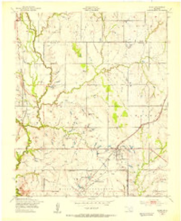
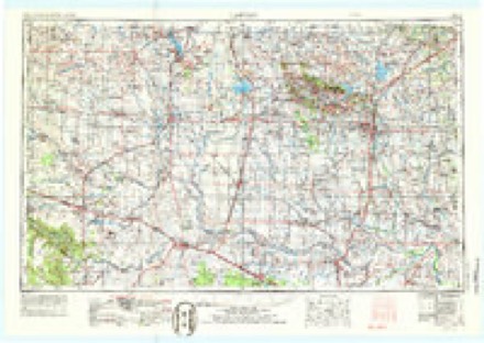
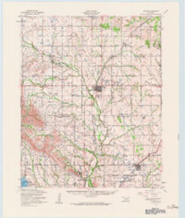
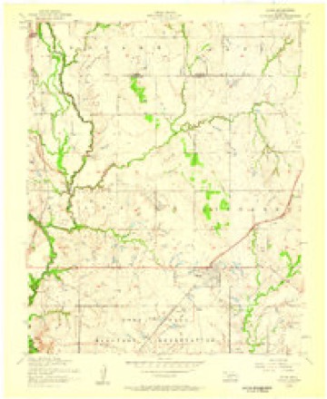
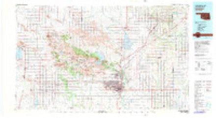
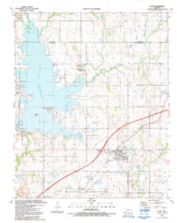
6 surveys from 14 printed sheetsMatched by testing this settlement's coordinate against the published boundary of every sheet in the United States Geological Survey's historical collection. Each opens the scanned sheet at the Survey.
- 1949 USGS Elgin quadrangle1:24000, 2 printings
- 1955 USGS Lawton quadrangle1:250000, 5 printings
- 1956 USGS Apache quadrangle1:62500, 2 printings
- 1956 USGS Elgin quadrangle1:24000, 3 printings
- 1981 USGS Lawton quadrangle1:100000
- 1991 USGS Elgin quadrangle1:24000
Photographs
3 photographs, 2020Taken for the Office of War Information and the Farm Security Administration, who photographed the country between 1935 and 1944. Works of United States government photographers, with no known restriction on use. Each opens its catalogue record.
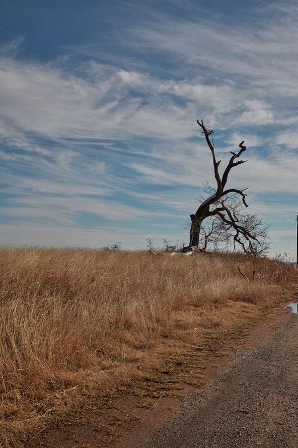
Highsmith, Carol M, 2020. Library of Congress
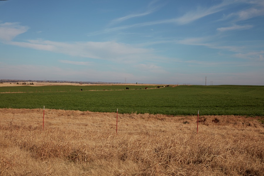
Highsmith, Carol M, 2020. Library of Congress
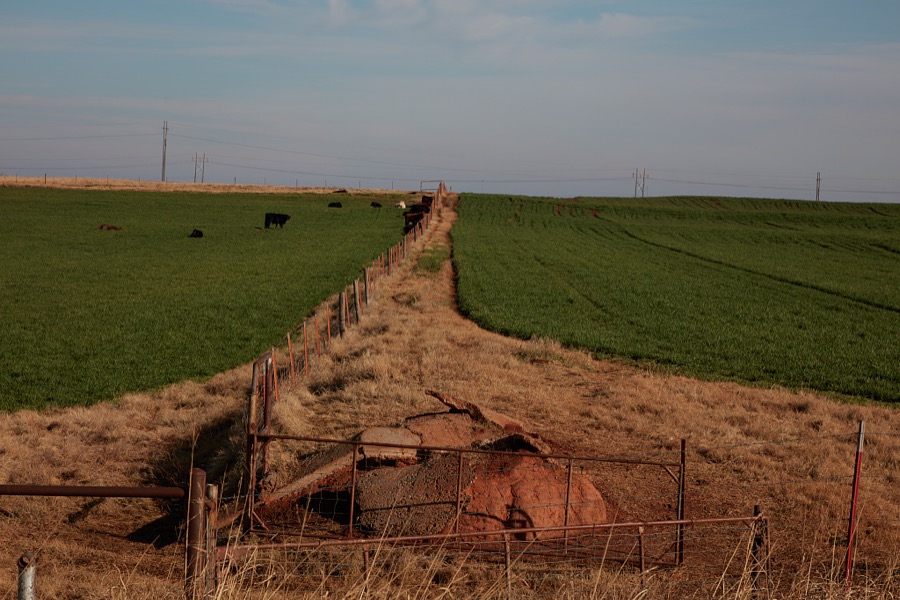
Highsmith, Carol M, 2020. Library of Congress
Fires near this place
33 since 2001Regional context, not property-specific evidence. The federal wildfire occurrence database lists 33 fires within 5 miles of Elgin between 2001 and 2020, burning about 1,872 acres in total. None started naturally. 9 were recorded as arson. Distance is straight-line from the map coordinates, so a fire counted here may appear on a neighbouring settlement's page as well.
| Reported cause | Fires |
|---|---|
| Arson/incendiarism | 9 |
| Missing data/not specified/undetermined | 8 |
| Debris and open burning | 7 |
| Equipment and vehicle use | 6 |
| Fireworks | 1 |
| Other causes | 1 |
| Power generation/transmission/distribution | 1 |
The most recent of them, most recent first, with the day each was reported and the service that recorded it.
| Date | Cause | Size | Reported by | Name on the report |
|---|---|---|---|---|
| 4 September 2009 | Debris and open burning | 33 acres | Anadarko Agency | RALPHS RSORT |
| 27 September 2016 | Equipment and vehicle use | 3.5 acres | Anadarko Agency | GREAT WHITE |
| 22 September 2007 | Debris and open burning | 8.0 acres | Anadarko Agency | ROCK ISLAND |
| 31 August 2012 | Equipment and vehicle use | 2.9 acres | Anadarko Agency | POOR FARM RD. |
| 20 August 2001 | Missing data/not specified/undetermined | 43 acres | Anadarko Agency | BIRDWELL |
| 17 August 2015 | Debris and open burning | 300 acres | Anadarko Agency | WATTS MILE FIRE |
| 15 August 2009 | Equipment and vehicle use | 1.0 acres | Anadarko Agency | BONNIFIELD |
| 4 July 2020 | Arson/incendiarism | under an acre | Anadarko Agency | NINE MILE |
Settlements close enough to share some of these fires:
Mines and quarries near this place
3 within 5 milesRegional context, not property-specific evidence. The federal mineral resources record lists 3 workings within 5 miles of Elgin: 2 producers, 1 past producer. 2 still produce. What was taken out: Sand and Gravel, Construction, Stone, Crushed/Broken, Gypsum-Anhydrite. Distance is straight-line from the map coordinates, so a quarry counted here may appear on a neighbouring settlement's page as well.
| Where | Site | Commodity | Status | Recorded |
|---|---|---|---|---|
| Fletcher Quarry & Plant | Gypsum-Anhydrite | Producer | ||
| Richards Spur Quarry | Stone, Crushed/Broken | Producer | ||
| Unknown Gravel Pit | Sand and Gravel, Construction | Past Producer |
Storms near this place
60 of 82 shownRegional context, not property-specific evidence. The National Weather Service names Elgin in 82 storm reports between 1994 and 2024: 52 hail, 21 thunderstorm wind, 6 flash flood, 2 tornado. No death or injury is recorded in these reports. Each account below is quoted exactly as the forecast office filed it, from the NOAA Storm Events Database, and each date opens the federal record of that event.
| When | Event | Place named | Harm | What the report says |
|---|---|---|---|---|
| June 2023 | Hail | Elgin | $20,000 | Numerous social media images of golf ball to tennis ball size hail. Damage to vehicles also noted. Time is radar estimated. |
| June 1999 | Thunderstorm Wind | Elgin | $20,000 | no account filed |
| April 2016 | Tornado (EF1) | Elgin | $10,000 | A tornado developed just northwest of Elgin. It initially moved north, then turned east-northeast dissipating just before reaching Fletcher. Mobile homes were damaged along the path as well as trees, power lines, and outbuildings. |
| July 2021 | Thunderstorm Wind | Elgin | $5,000 | Damage to roof of a post office. Estimated 65 to 70 mph wind gust. Power lines also downed. |
| July 1994 | Hail | Elgin | $5,000 | no account filed |
| June 1994 | Thunderstorm Wind | Elgin | $5,000 | no account filed |
| October 1999 | Thunderstorm Wind | Elgin | $100 | no account filed |
| October 1997 | Thunderstorm Wind | Elgin | $10 | Strong winds blew 8-10 inch diameter limbs from trees. |
| April 2024 | Hail | Elgin | - | MPing report. |
| May 2024 | Hail | Elgin | - | MPing report. |
| May 2024 | Hail | Elgin | - | MPing report. |
| August 2023 | Hail | Elgin | - | MPing report. |
| August 2023 | Hail | Elgin | - | MPing report. |
| May 2023 | Hail | Elgin | - | MPing report. |
| June 2021 | Flood | Elgin | - | Portion of a road washed away on a street north of 1st street. |
| June 2021 | Hail | Elgin | - | Time radar estimated. |
| June 2021 | Thunderstorm Wind | Elgin | - | Measured with handheld anemometer. Also, various small limbs and shingles scattered throughout the neighborhood. |
| August 2020 | Thunderstorm Wind | Elgin | - | Estimated severe wind gust. |
| May 2020 | Thunderstorm Wind | Elgin | - | Estimated severe wind gust. |
| May 2020 | Hail | Elgin | - | Location estimated from radar. |
| May 2020 | Flash Flood | Elgin | - | Flood waters completely covering a portion of Spencer and Cline roads northeast of Lawton. Delayed report. Time/location estimated. |
| April 2020 | Thunderstorm Wind | Elgin | - | Estimated gust reported by spotter. |
| December 2018 | Flash Flood | Elgin | - | Westbound Highway 277 was covered in water. |
| July 2017 | Thunderstorm Wind | Elgin | - | No damage reported. |
| February 2016 | Hail | Elgin | - | No damage reported. |
| February 2016 | Hail | Elgin | - | No damage reported. |
| April 2015 | Hail | Elgin | - | No damage reports. |
| April 2013 | Thunderstorm Wind | Elgin | - | No damage was reported. |
| April 2013 | Hail | Elgin | - | No damage was reported. |
| June 2011 | Thunderstorm Wind | Elgin | - | In Elgin and Fletcher areas, one mobile home was destroyed and at least 30 other structures were damaged. Monetary damage estimates were not available. |
| May 2009 | Flash Flood | Elgin | - | Numerous county roads were flooded due to several rounds of heavy rainfall. |
| May 2005 | Hail | Elgin | - | Hail was reported at the intersection of Highway 62 and Highway 277. |
| December 1999 | Hail | Elgin | - | Hail was reported on Interstate 44. |
| May 1999 | Tornado (F0) | Elgin | - | Tornado A2. See summary at end of May 3rd storm reports. |
| July 1997 | Flash Flood | Elgin | - | U.S. Highway 277 was closed due to high water. |
| July 1997 | Flash Flood | Elgin | - | Up to 2.5 feet of water covered U.S. Highway 277. |
| October 1997 | Flash Flood | Elgin | - | Several county roads and bridges in northeastern Comanche County were washed out by flash flood waters. |
| May 2024 | Hail | Elgin | - | no account filed |
| June 2023 | Hail | Elgin | - | no account filed |
| July 2021 | Thunderstorm Wind | Elgin | - | no account filed |
| June 2021 | Hail | Elgin | - | no account filed |
| June 2021 | Hail | Elgin | - | no account filed |
| July 2021 | Thunderstorm Wind | Elgin | - | no account filed |
| May 2020 | Thunderstorm Wind | Elgin | - | no account filed |
| May 2020 | Thunderstorm Wind | Elgin | - | no account filed |
| April 2020 | Hail | Elgin | - | no account filed |
| April 2020 | Hail | Elgin | - | no account filed |
| April 2020 | Hail | Elgin | - | no account filed |
| April 2020 | Hail | Elgin | - | no account filed |
| May 2019 | Hail | Elgin | - | no account filed |
| October 2019 | Hail | Elgin | - | no account filed |
| May 2018 | Thunderstorm Wind | Elgin | - | no account filed |
| May 2018 | Hail | Elgin | - | no account filed |
| June 2018 | Hail | Elgin | - | no account filed |
| April 2017 | Hail | Elgin | - | no account filed |
| April 2017 | Hail | Elgin | - | no account filed |
| February 2016 | Hail | Elgin | - | no account filed |
| June 2013 | Hail | Elgin | - | no account filed |
| May 2013 | Hail | Elgin | - | no account filed |
| April 2013 | Hail | Elgin | - | no account filed |
Newspapers printed here
1,268 digitised pages1 paper published in this town, digitised by the Library of Congress and free to read: 268 issues, 1,268 pages. Every page is searchable, so a name or a street can be looked for directly in what the town printed about itself at the time.
| Newspaper | Published |
|---|---|
| Farmers' Champion | 1912 to 1922 |
What the paper printed
3,938 wordsFront pages of the local paper, read from the Library of Congress scans: 5 issues spread across its run from 1912 to 1921, 3,938 words in total. Each is reproduced on its own page, exactly as the recogniser returned it.
These pages read less well than anything else here, and the number is worth stating: about three words in four come through cleanly, against nine in ten for the building records. An 1896 broadsheet sets eight-point type in seven columns on microfilm, which is the hardest thing in this archive to read by machine. We tested our own recognisers against the Library's and they were not better, so the Library's text is what appears, with the wholly unreadable columns removed. Read it as a guide to what the paper covered, and follow the link to the scan before quoting anything.
| Issue | Paper | Length |
|---|---|---|
| 1912-11-14 | Farmers' Champion | 1,058 words |
| 1912-11-28 | Farmers' Champion | 1,340 words |
| 1912-12-19 | Farmers' Champion | 438 words |
| 1921-06-08 | Farmers' Champion | 894 words |
| 1921-12-28 | Farmers' Champion | 208 words |
Nearest settlements
The eight closest, with where each one stands in the county. Distances are straight-line, computed from the Geographic Names Information System coordinates.
| Map | Place | Distance | Sheets |
|---|---|---|---|
| Fletcher | 3.9 miles | 13 | |
| Lake Ellsworth Addition | 4.2 miles | 14 | |
| Cove Acres | 4.2 miles | 14 | |
| Porter Hill | 5.0 miles | 11 | |
| Green Meadow Acres | 5.0 miles | 11 | |
| Lakeside Village | 5.1 miles | 11 | |
| Edgewater Park | 5.5 miles | 11 | |
| Mount View | 6.2 miles | 13 |
Elsewhere
Matched on this settlement's Geographic Names Information System number rather than its name, so it cannot be a different place of the same name in another state.
| Wikipedia article on Elgin | An encyclopaedic summary. Its text is share-alike, so it is linked here rather than copied. |
| Wikidata item Q431761 | The structured record the population and elevation above come from. Public domain (CC0). |
Provenance
This settlement is recorded in the Geographic Names Information System as feature 1092522. The sheet list is computed by point-in-boundary test against the United States Geological Survey's historical topographic inventory. Both are works of the United States government and carry no copyright under 17 U.S.C. 105.
Wildfire. Short, Karen C. 2022. Spatial wildfire occurrence data for the United States, 1992-2020 [FPA_FOD_20221014]. 6th Edition. Fort Collins, CO: Forest Service Research Data Archive. https://doi.org/10.2737/RDS-2013-0009.6 Collected with United States Government funding and usable without additional permissions or fees.
Mines and quarries. USGS Mineral Resources Data System (MRDS) https://mrdata.usgs.gov/mrds/ A work of the United States government, no copyright under 17 U.S.C. 105.
Storms. NOAA National Centers for Environmental Information, Storm Events Database https://www.ncei.noaa.gov/stormevents/ A work of the United States government, no copyright under 17 U.S.C. 105. Narratives are quoted verbatim from the National Weather Service report and are not edited or summarised.