Block
From the record
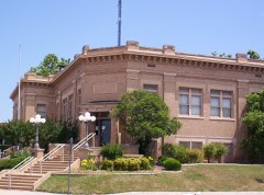
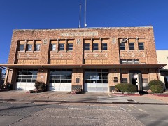
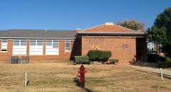
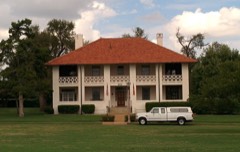
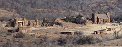
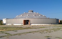
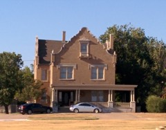
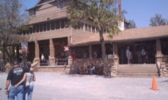
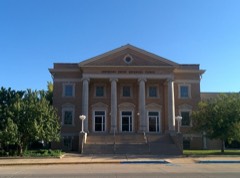
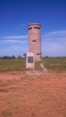
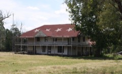
35 National Register listings published here, 1 of them a National Historic Landmark.
Sources: the National Register database, National Park Service
98 topographic sheets and 11 fire insurance atlases across 2 places.
35 National Register listings published here, 1 of them a National Historic Landmark.
Sources: the National Register database, National Park Service
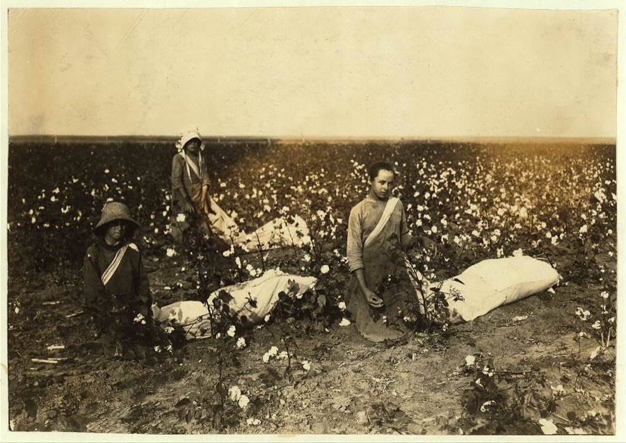
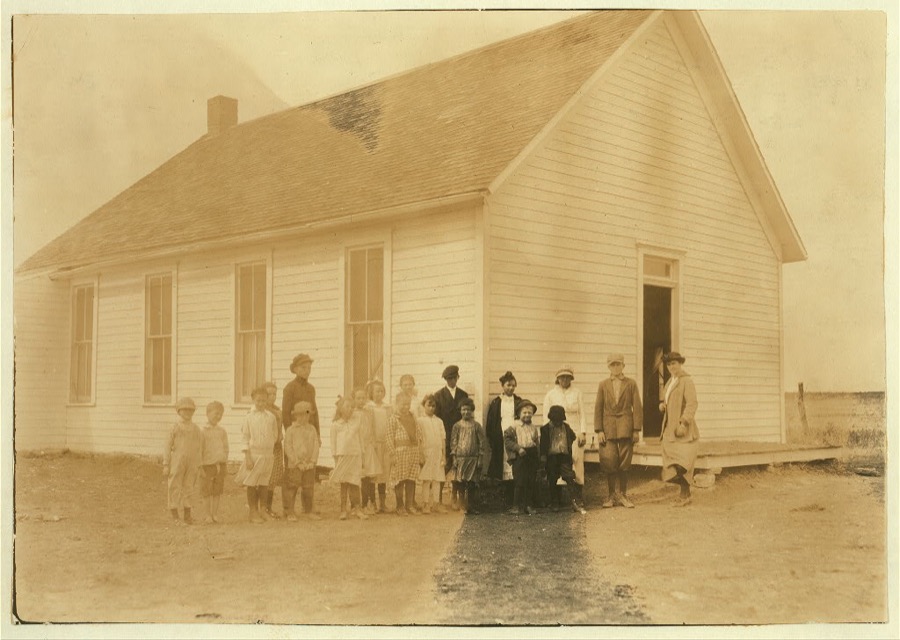
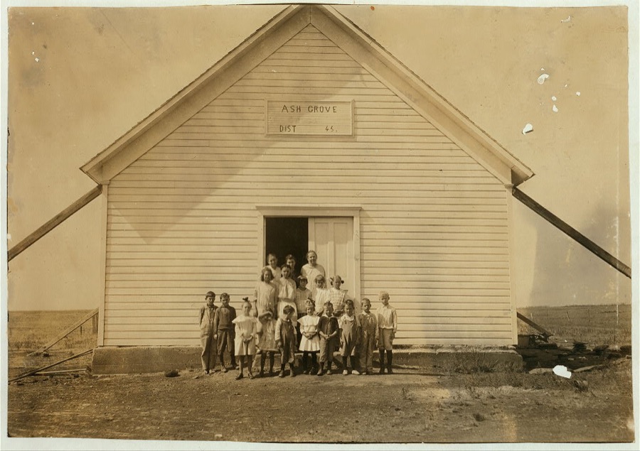
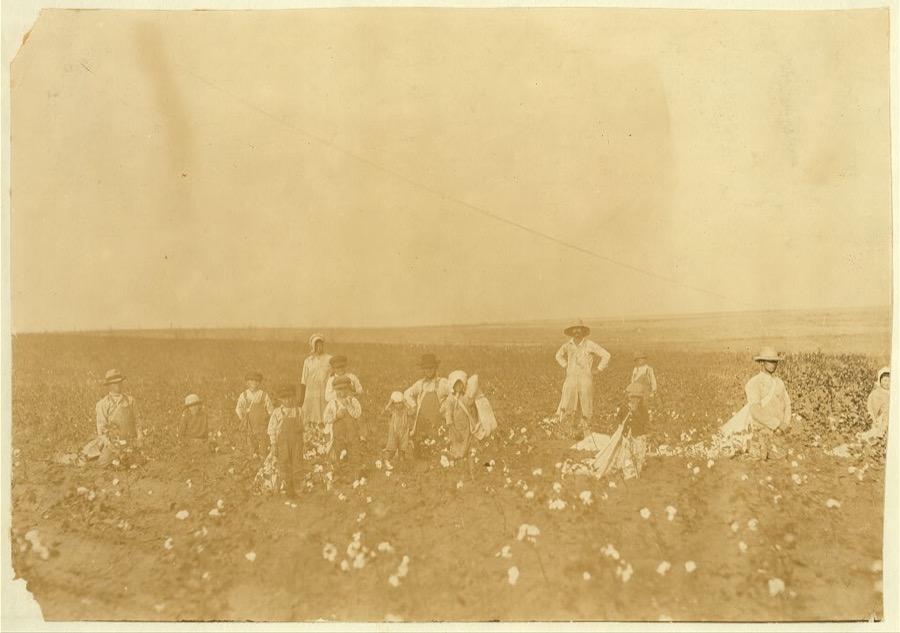
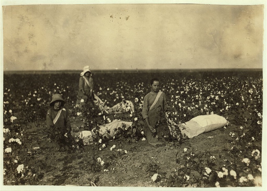
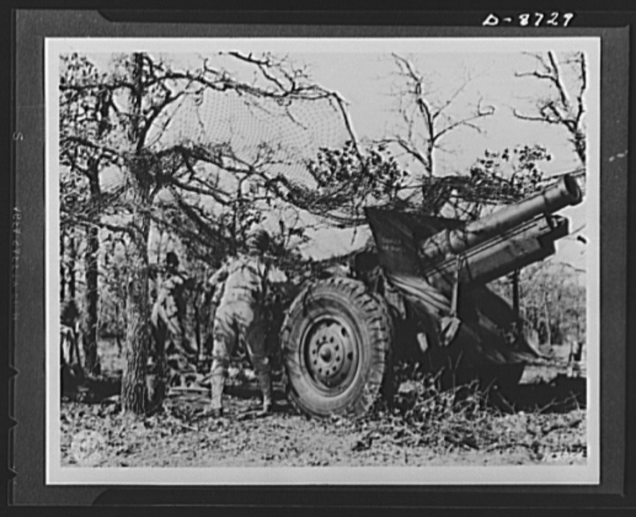
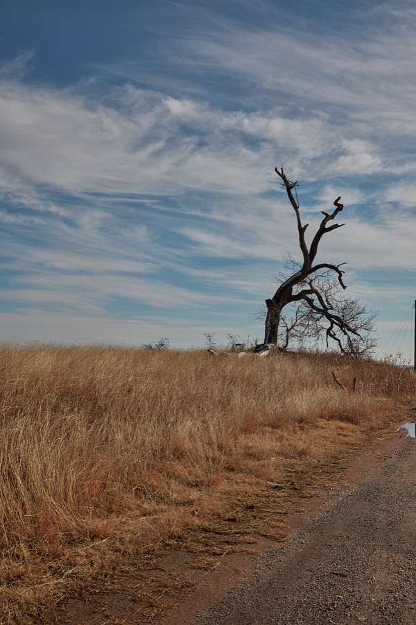
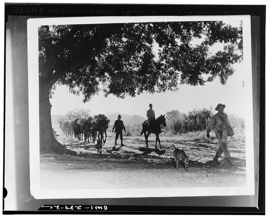
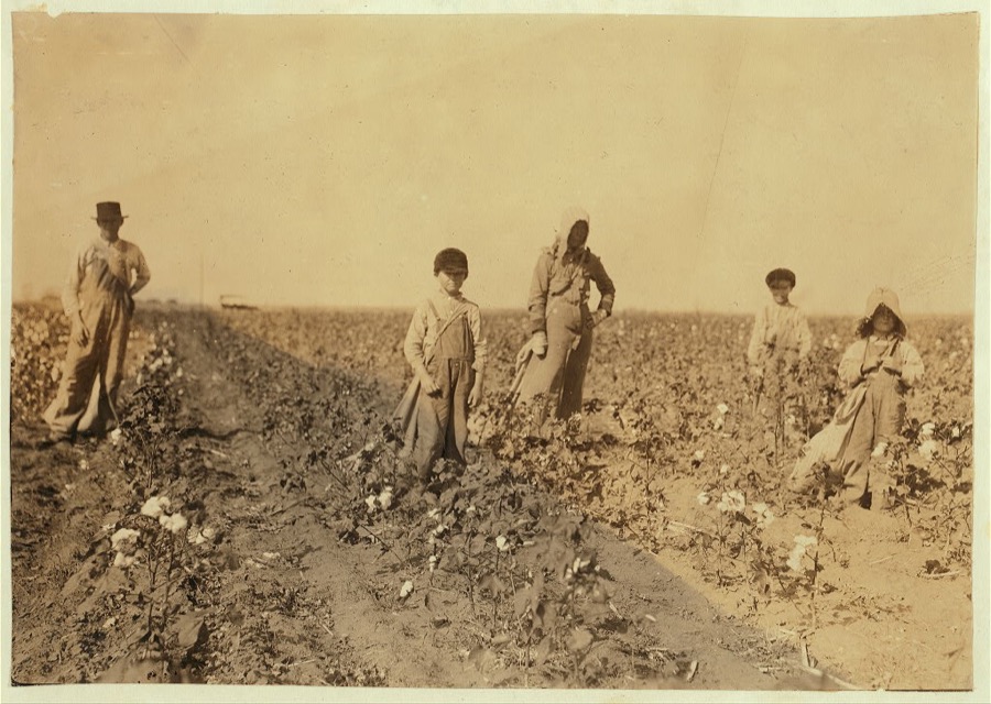
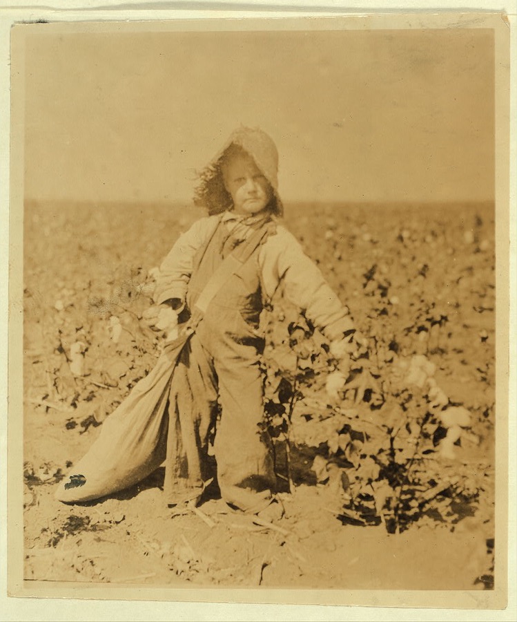
Taken for the Office of War Information and the Farm Security Administration, who photographed the country between 1935 and 1944. Works of United States government photographers, with no known restriction on use. Each opens its catalogue record.

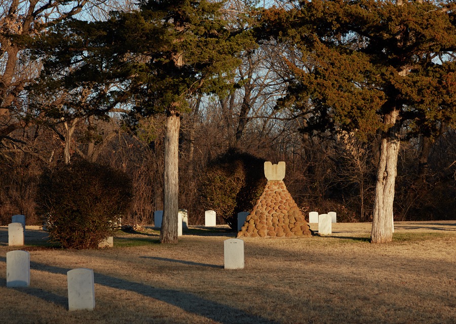

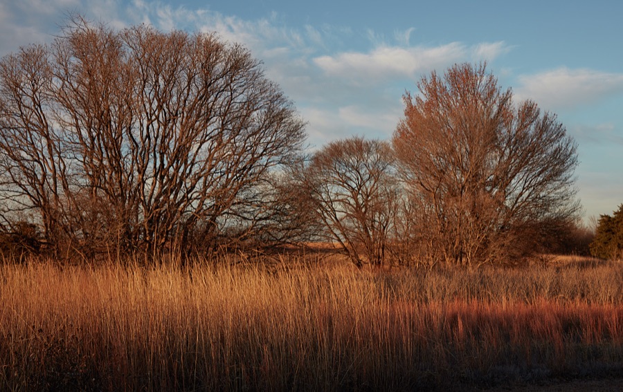

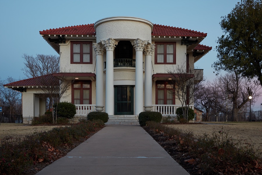
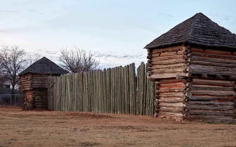


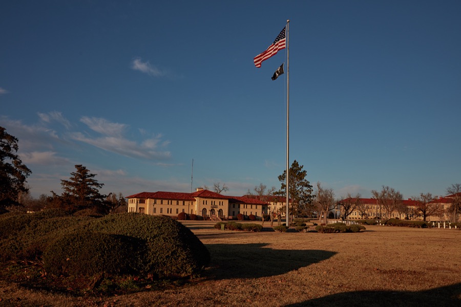
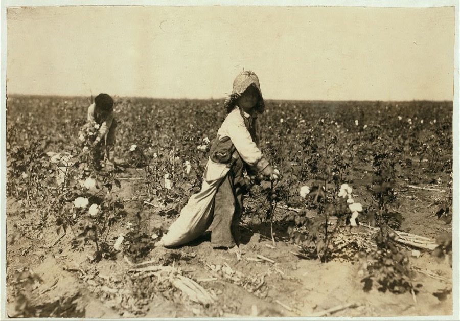


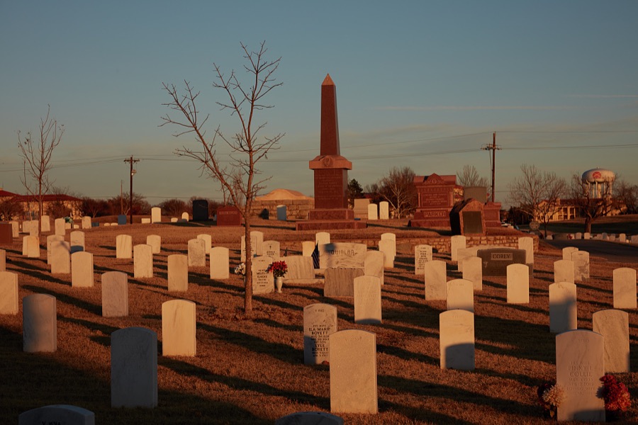
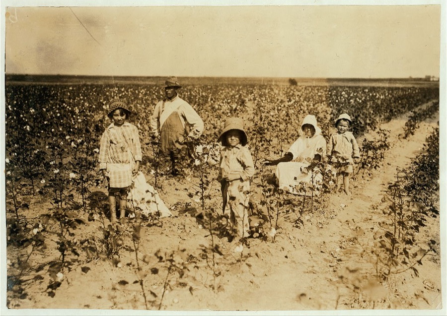
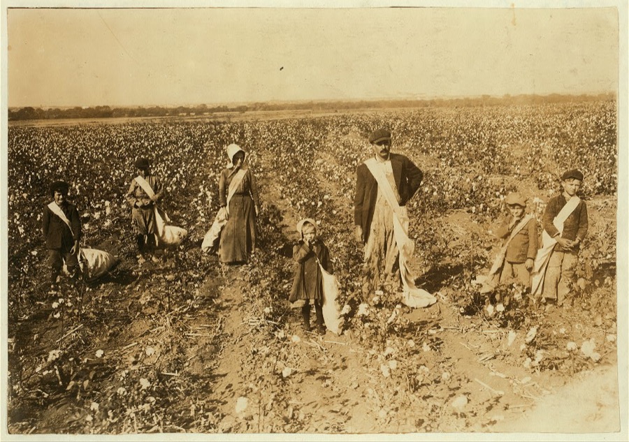
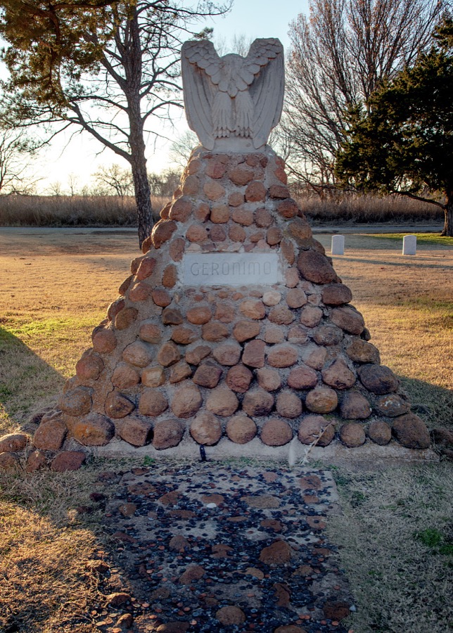

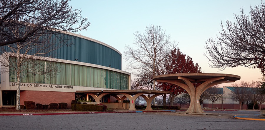
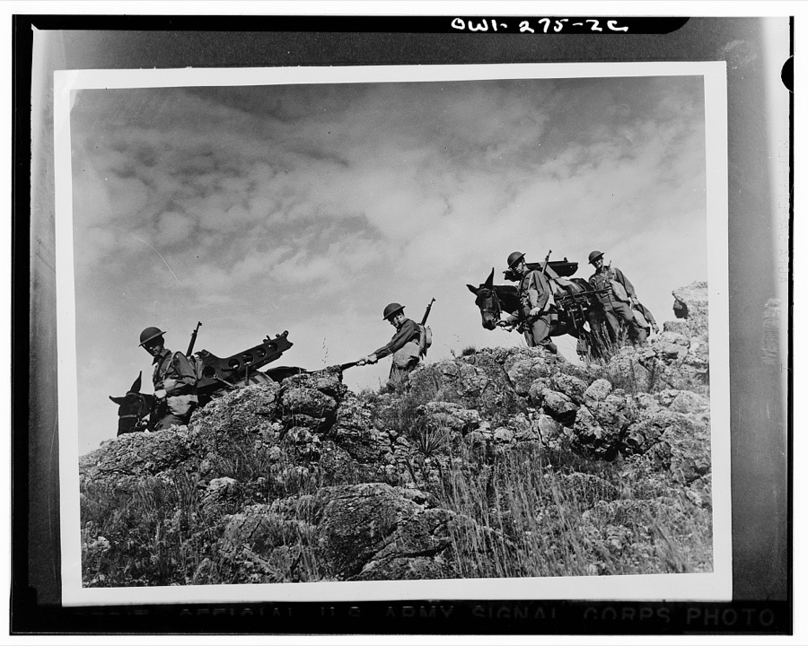

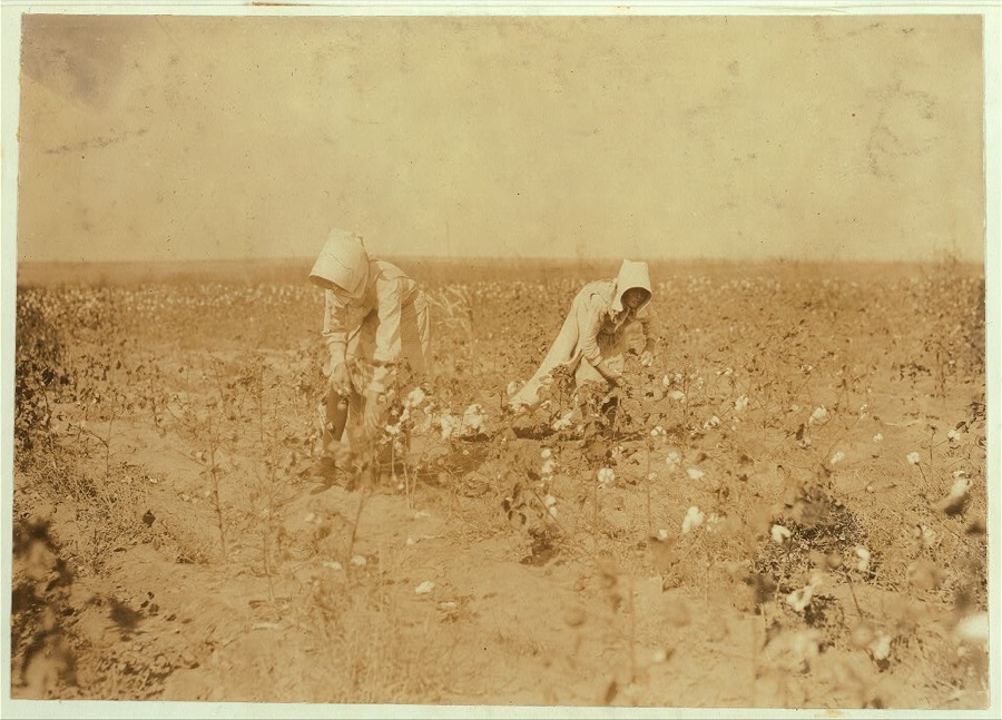
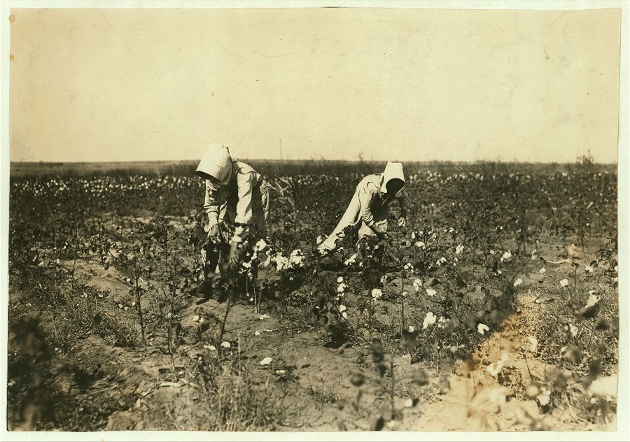

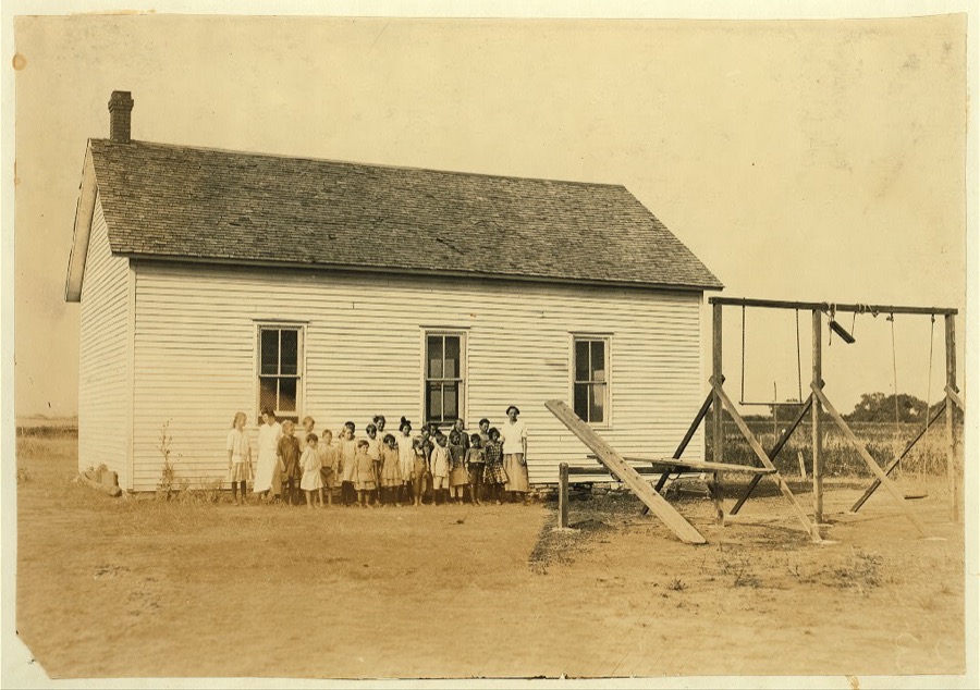

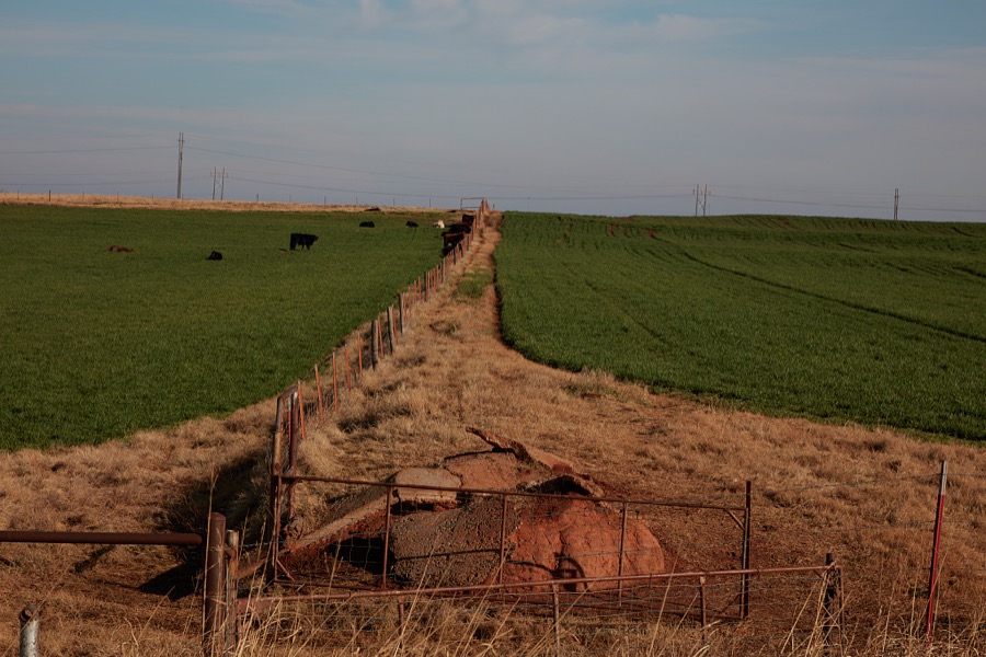

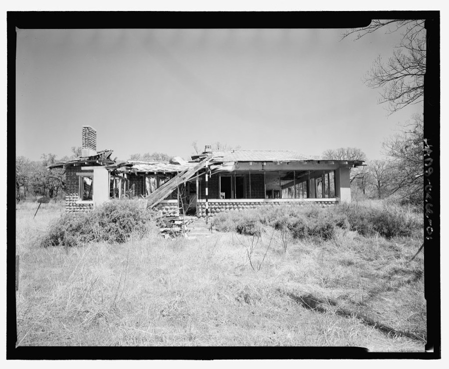
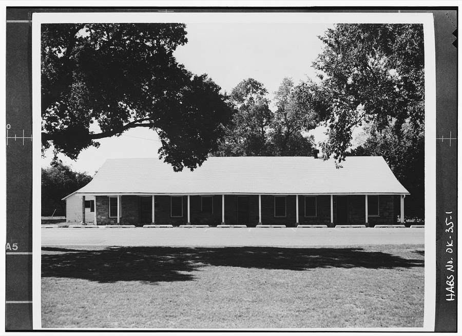
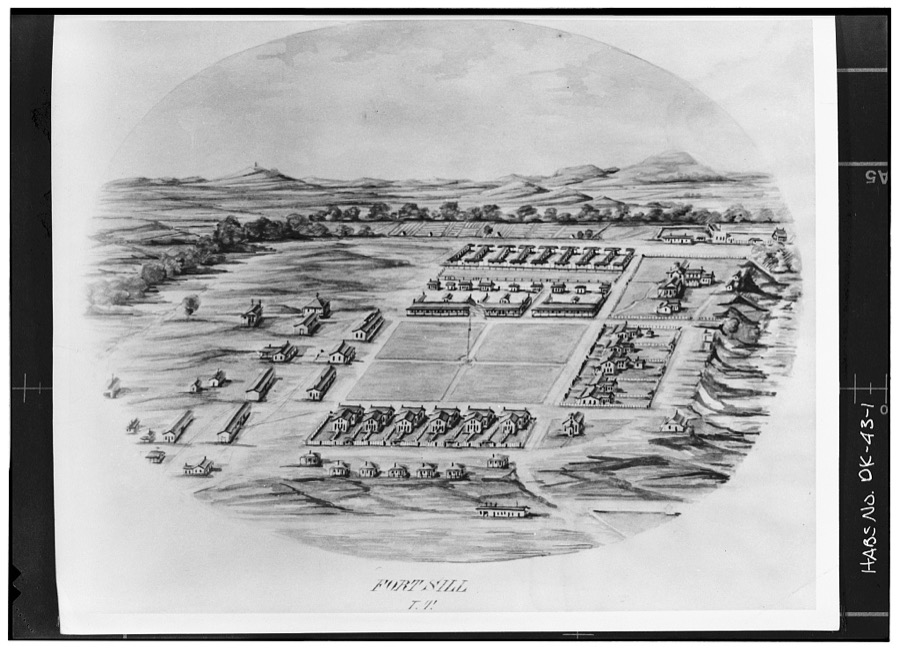
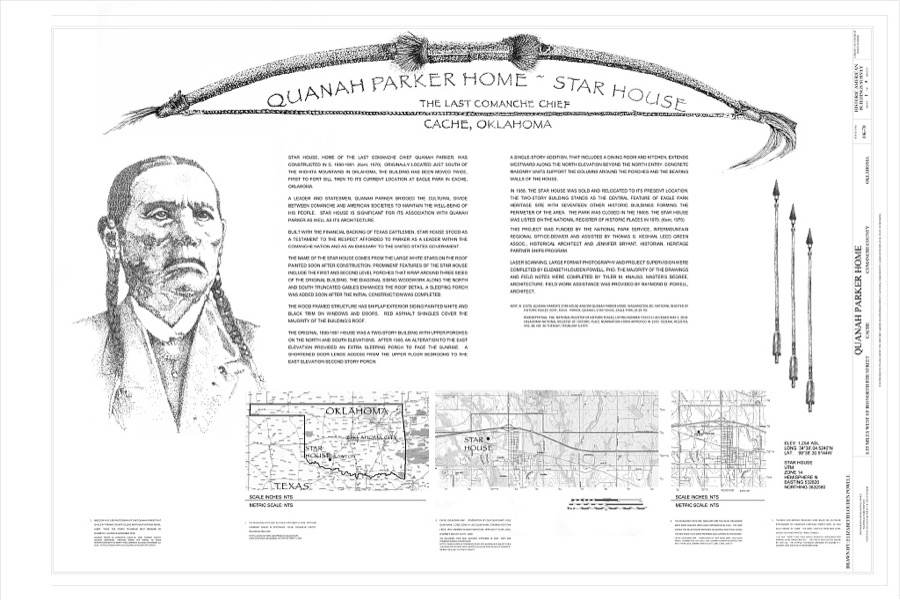
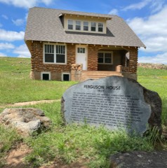
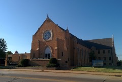
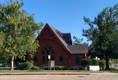
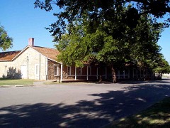
Every property in this county listed on the National Register of Historic Places, with the year it was listed and the federal nomination document.
Sampled issues, machine-read from the Library of Congress scan and published page by page, so every headline and column is searchable text.
Elgin, Okla., 1912 to 1922. Machine-read from the Library of Congress scan.
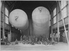
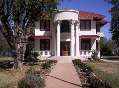
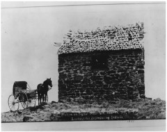
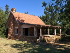
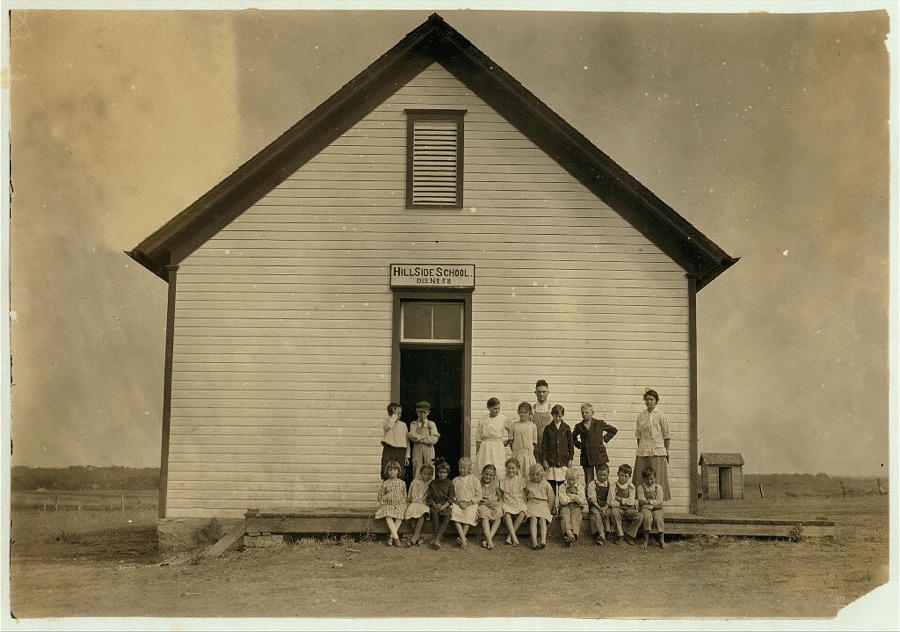
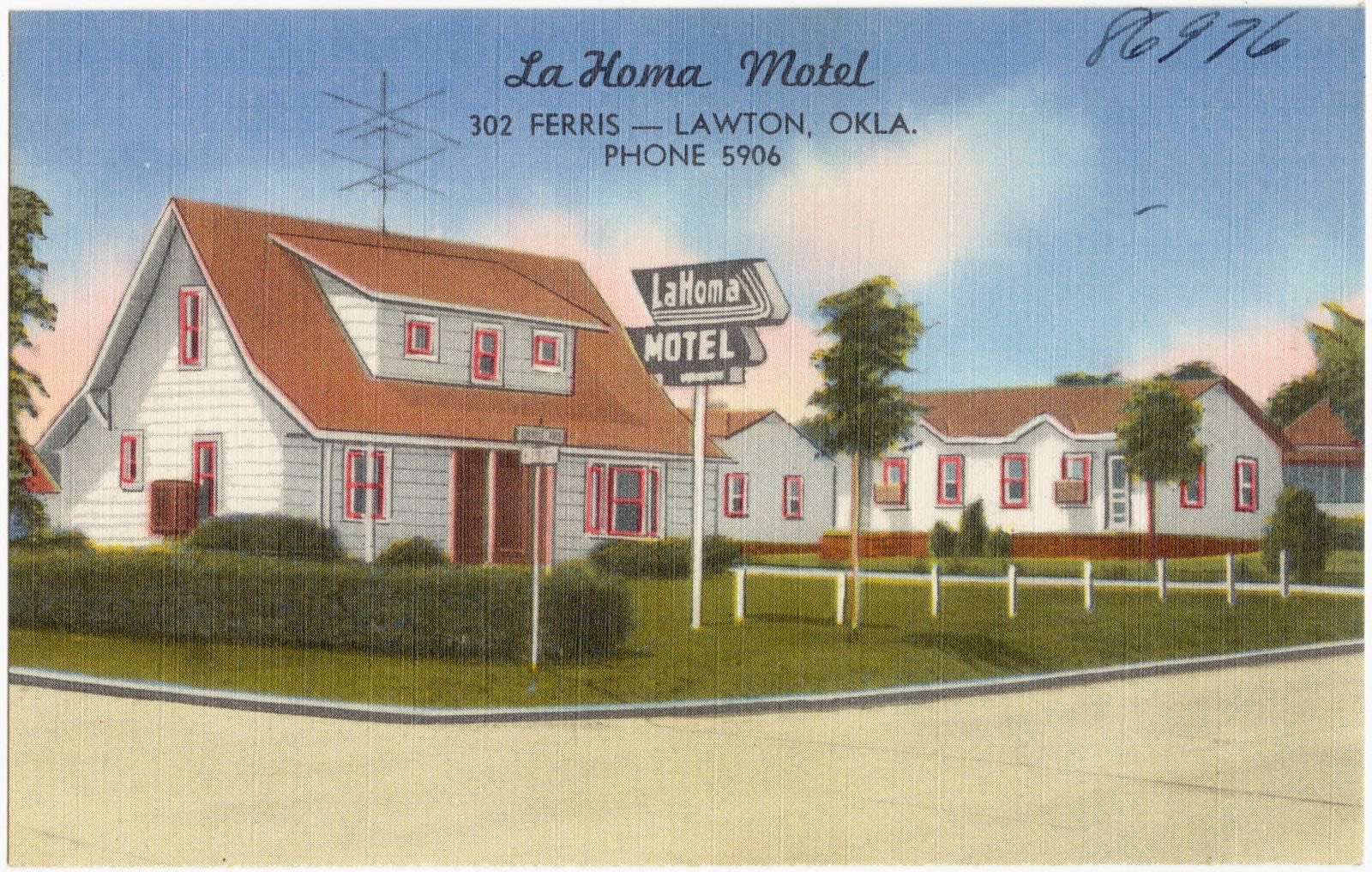
Selected from the Digital Public Library of America's 8 image records catalogued for this county. Every one shown here carries a public-domain status or a licence that permits reuse on a site that carries advertising; non-commercial, share-alike and restricted images are excluded. The selection is spread across the county's towns (at most eight per town), so no single institution's bulk upload crowds out the rest. Each opens the holding library's record, and the complete set at the Digital Public Library of America is one click away.
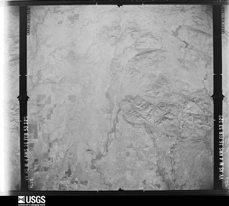
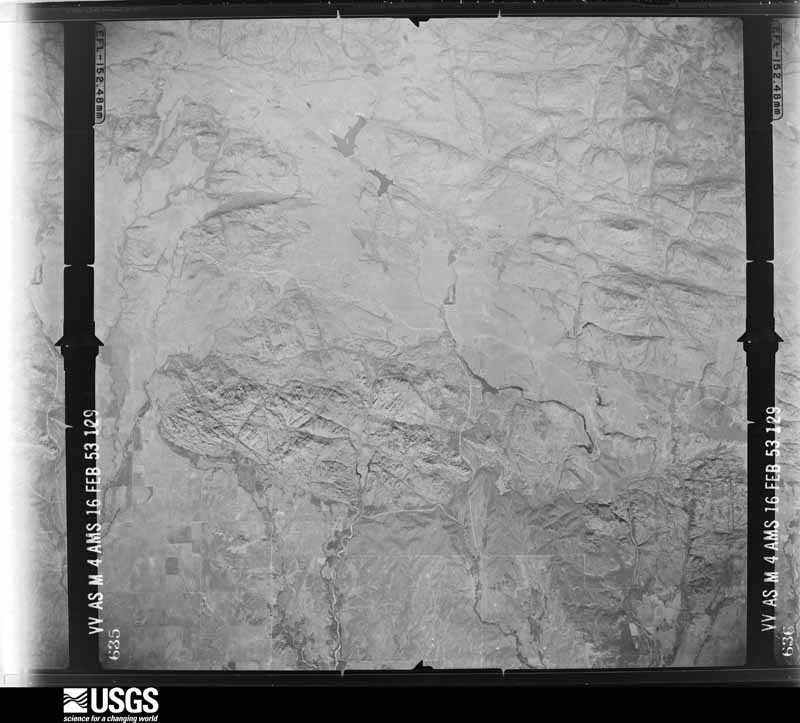
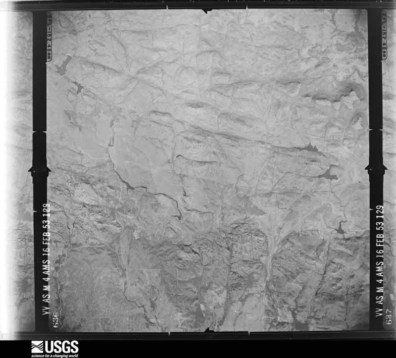
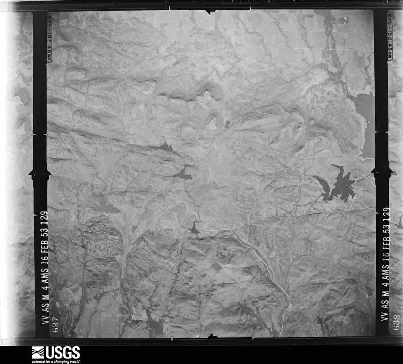
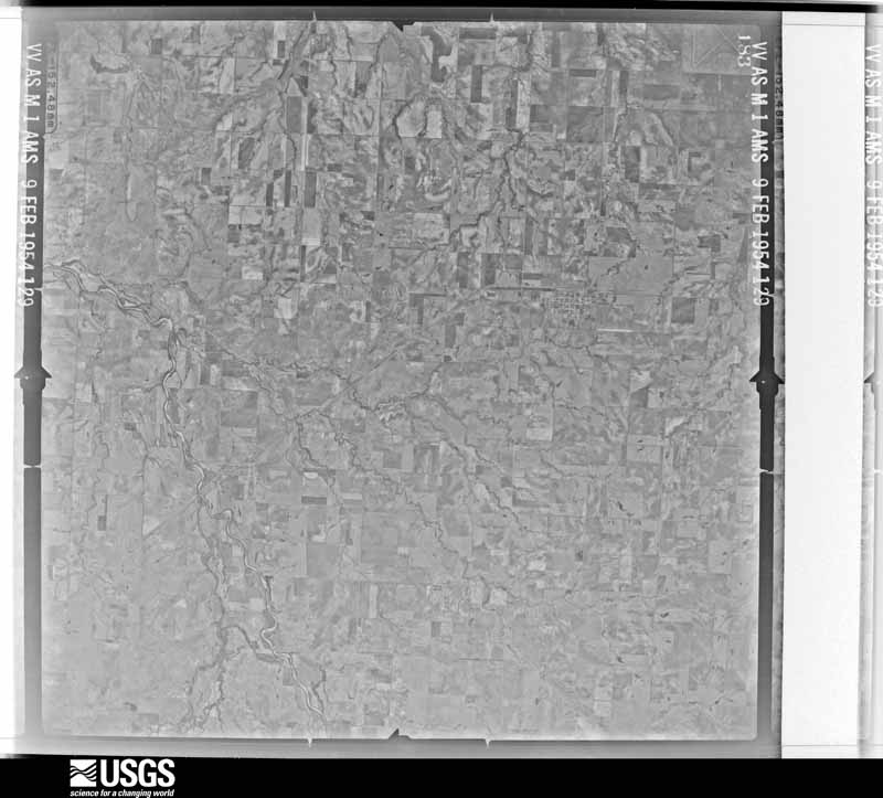
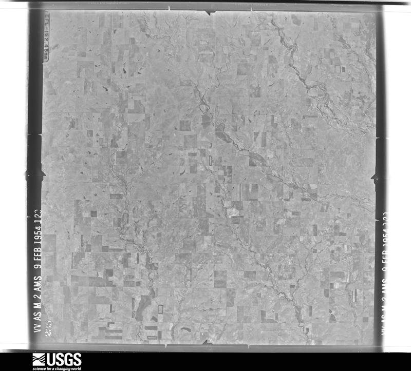
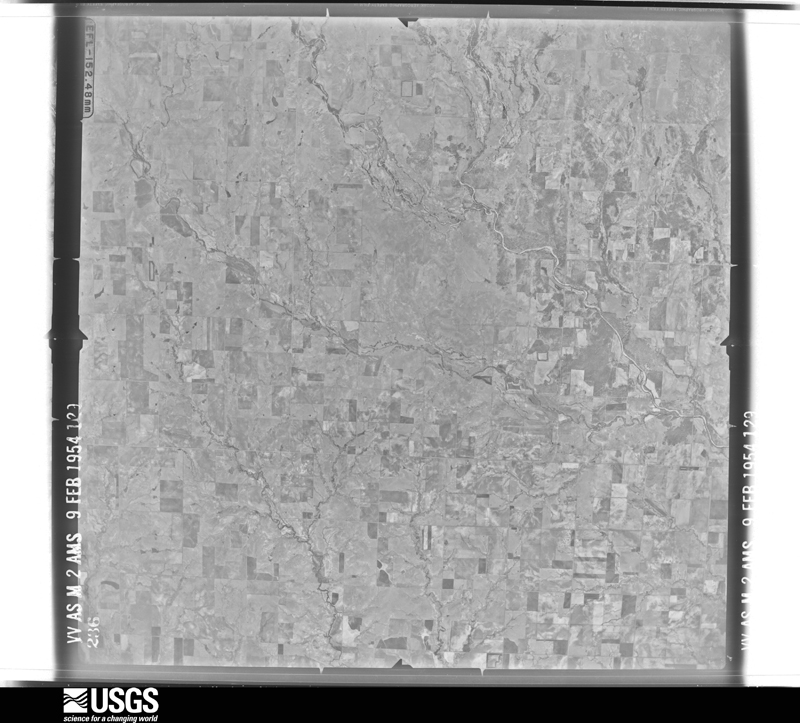
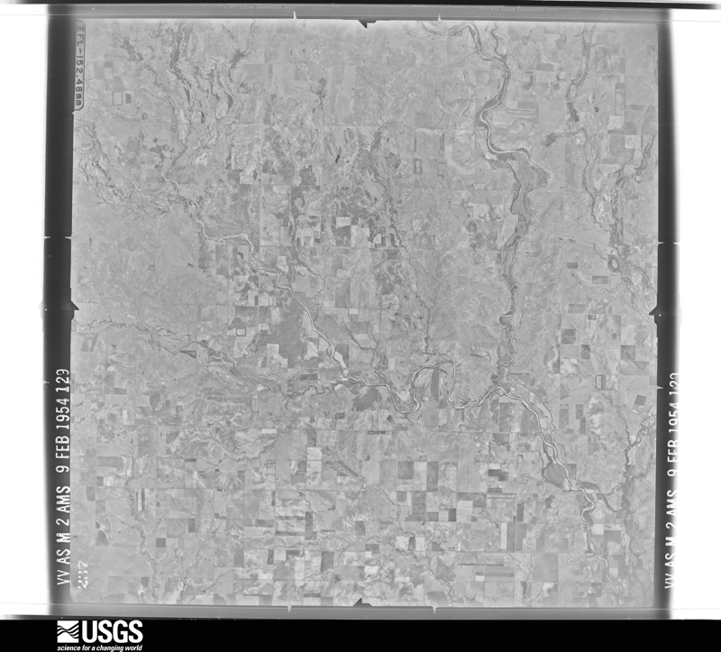
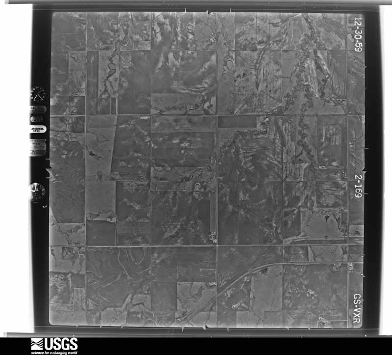
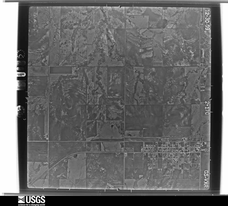
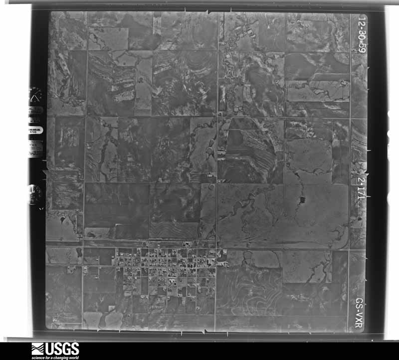
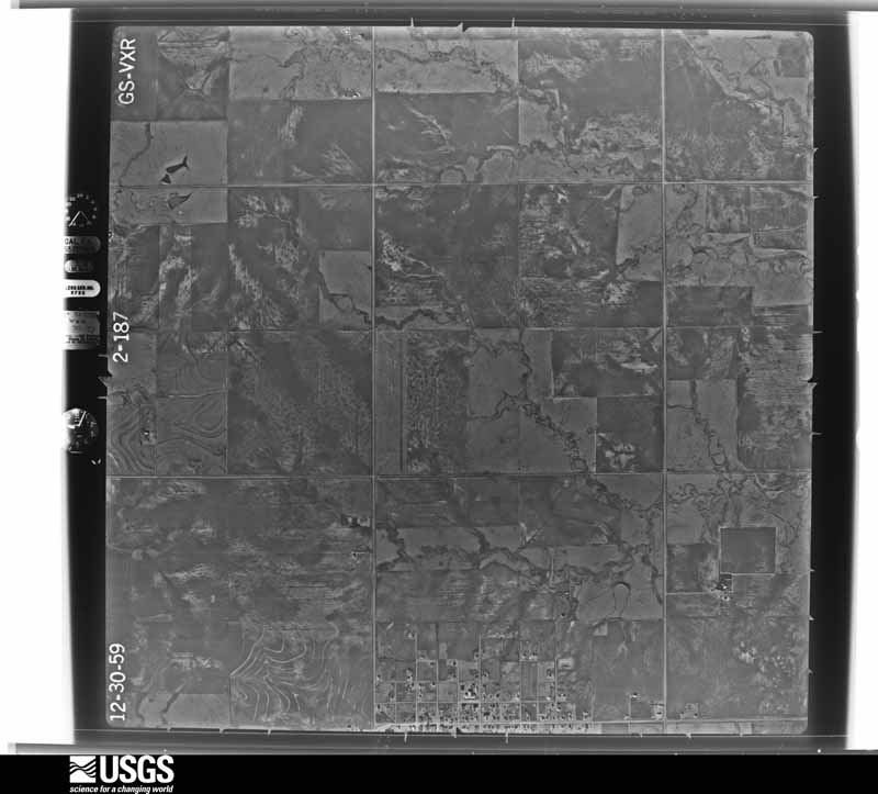
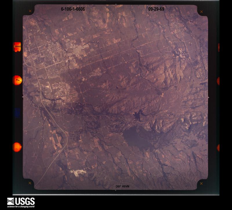
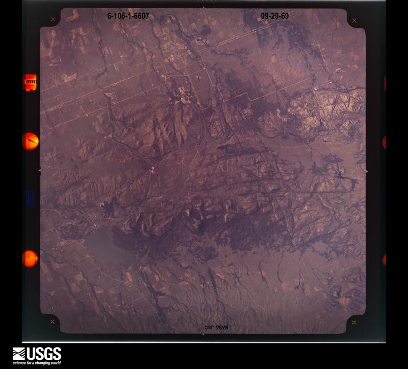
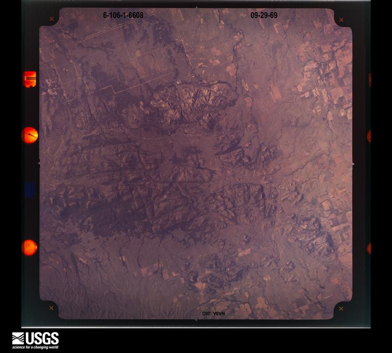
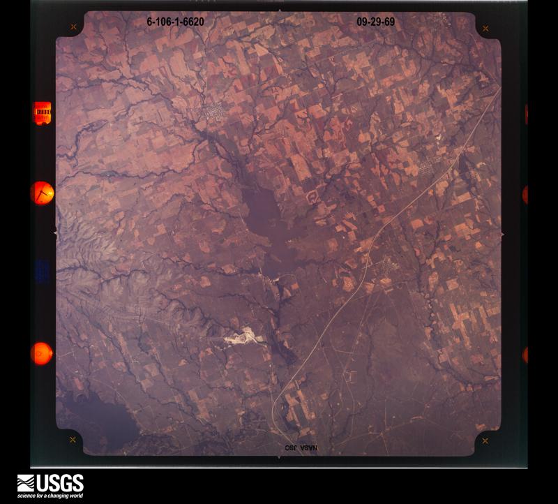
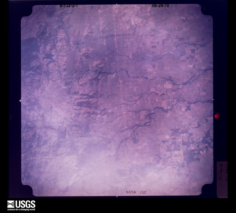
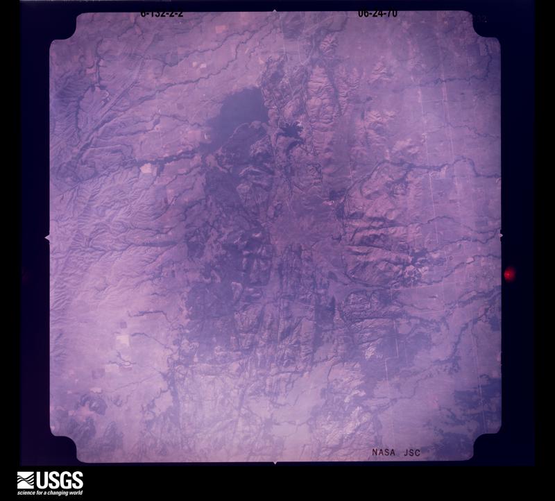
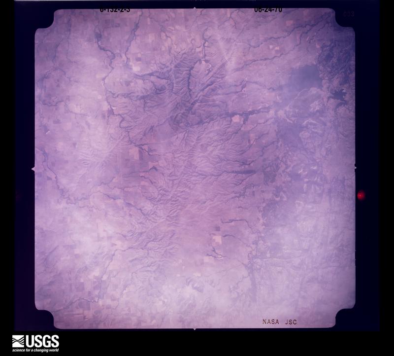
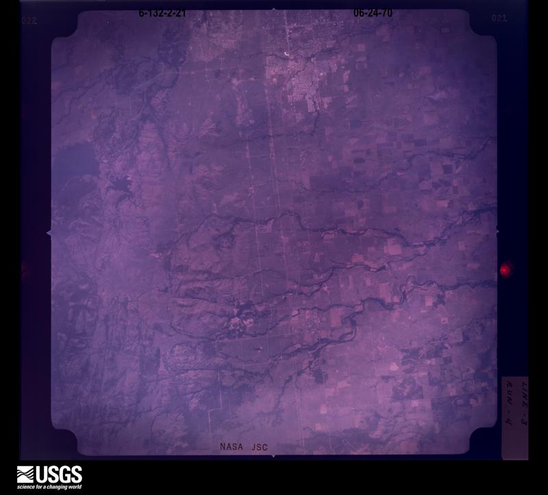
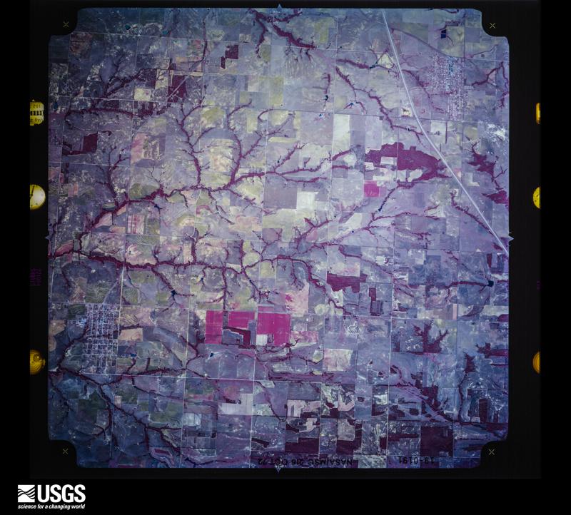
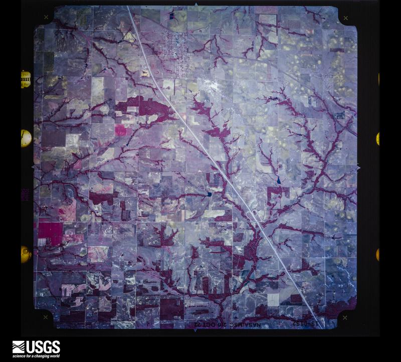
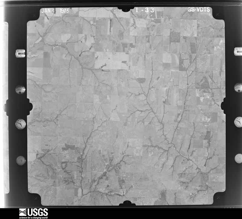
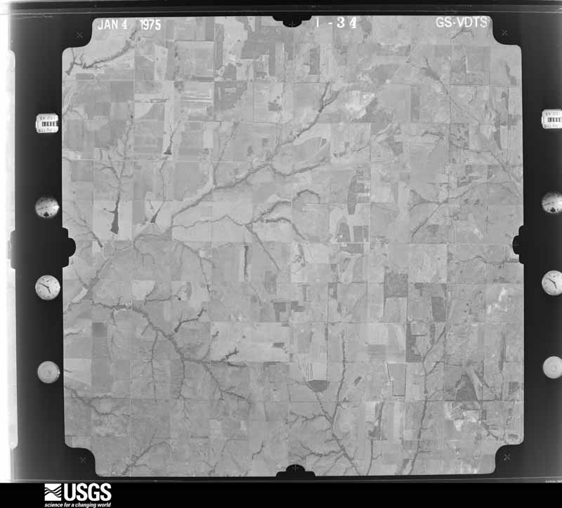
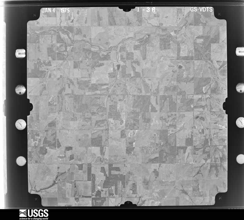
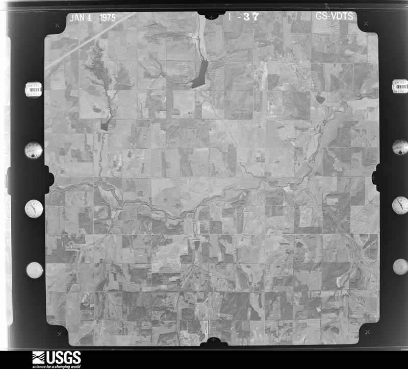
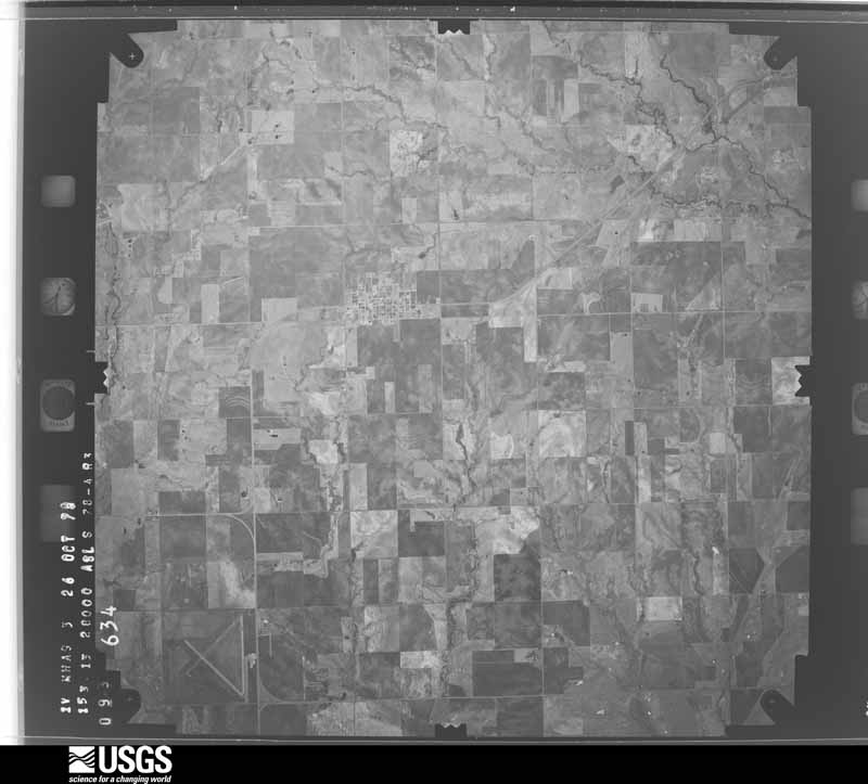
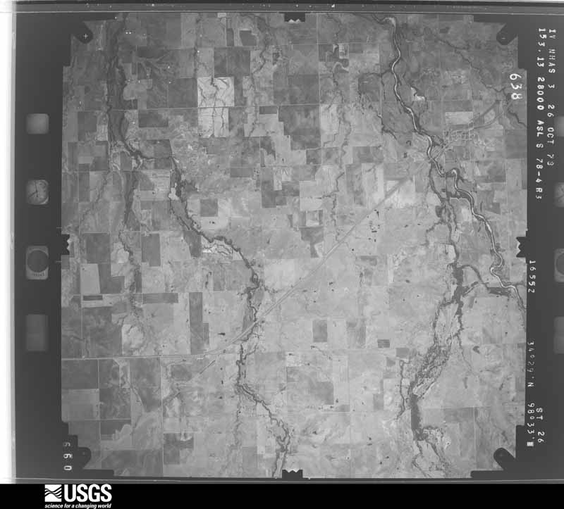
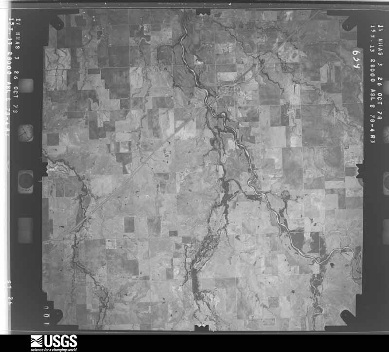
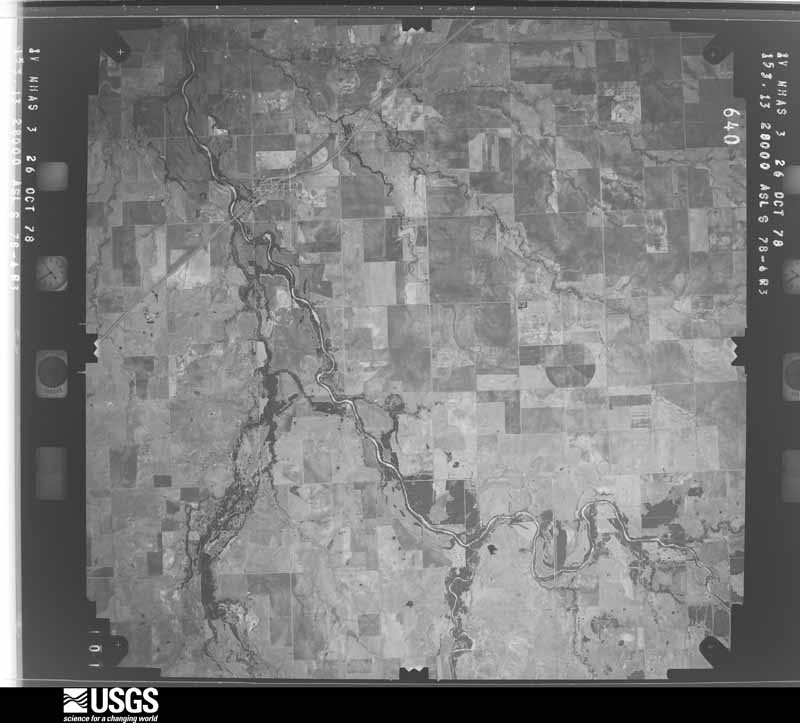
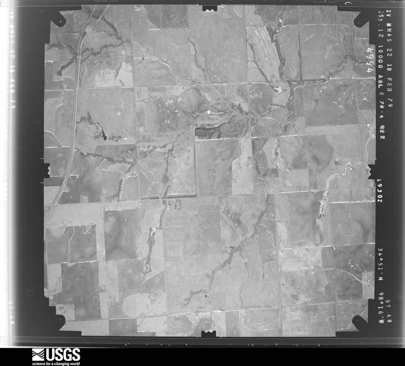
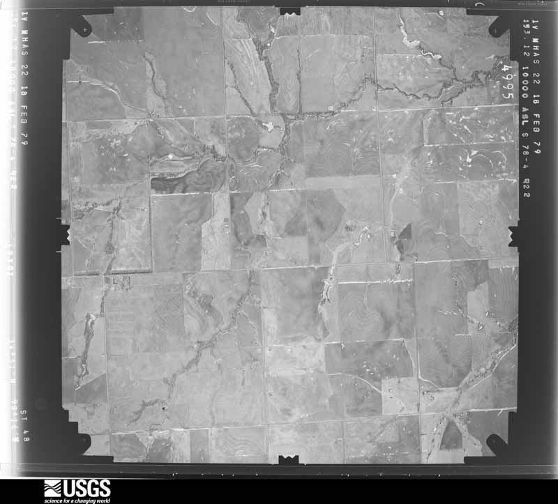
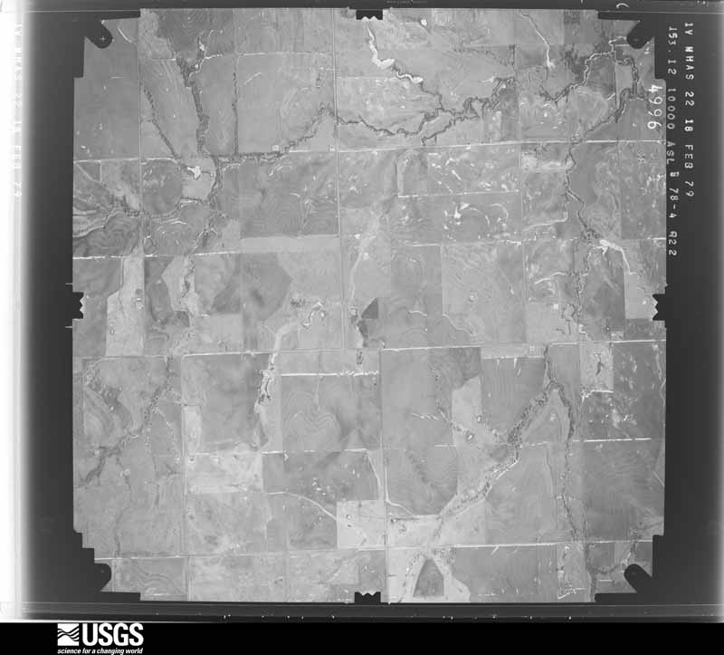
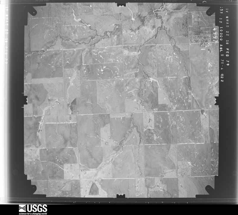
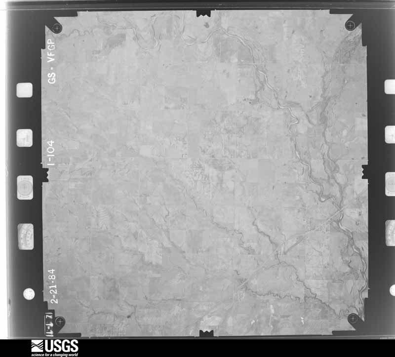
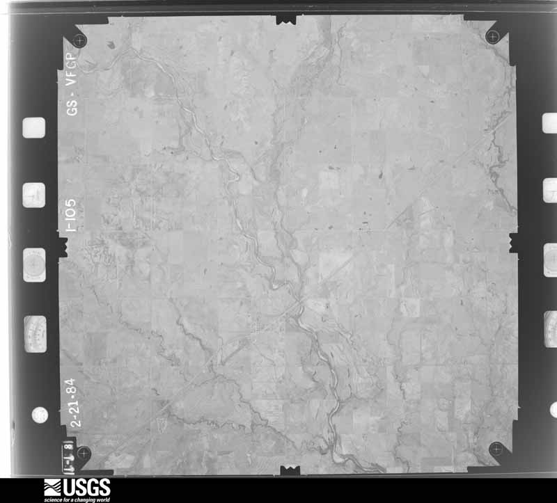
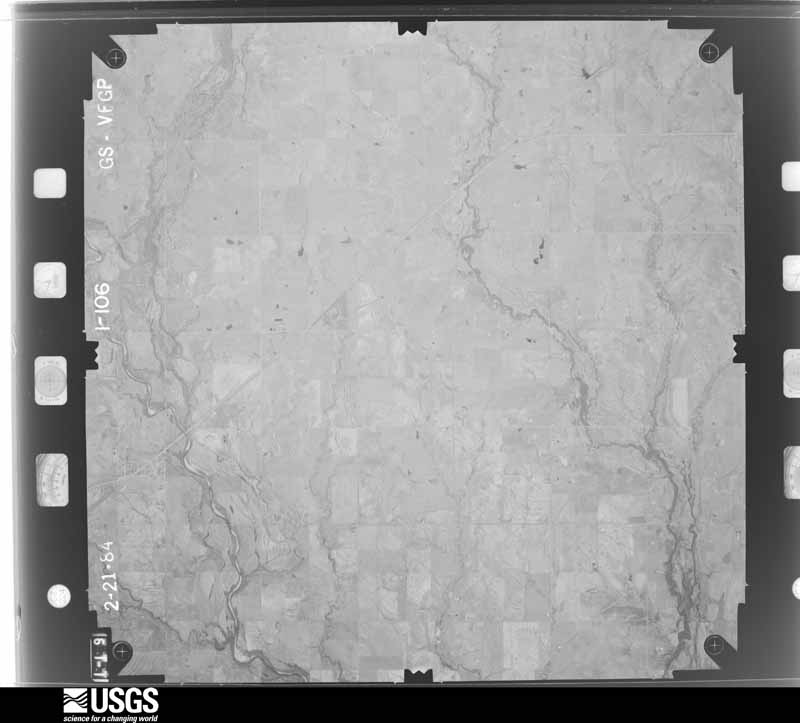
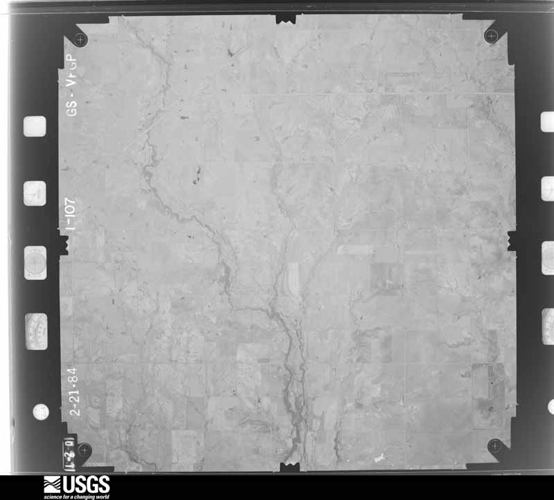
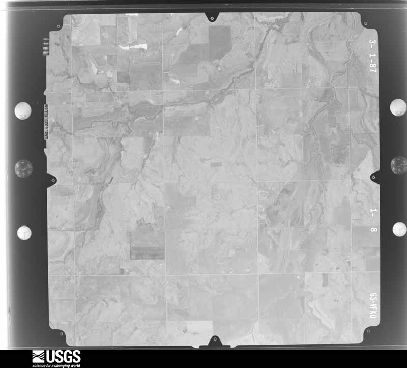
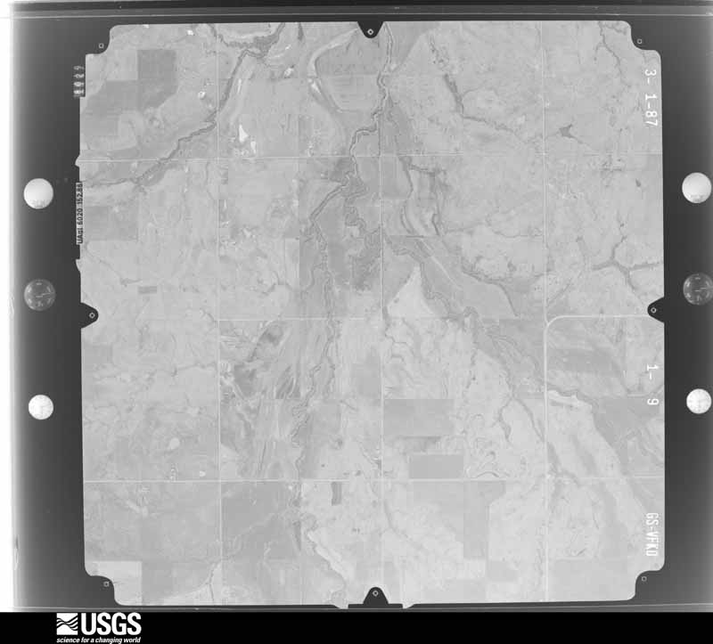
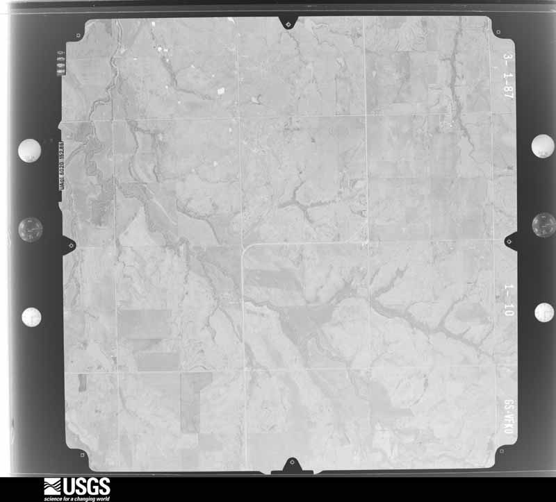
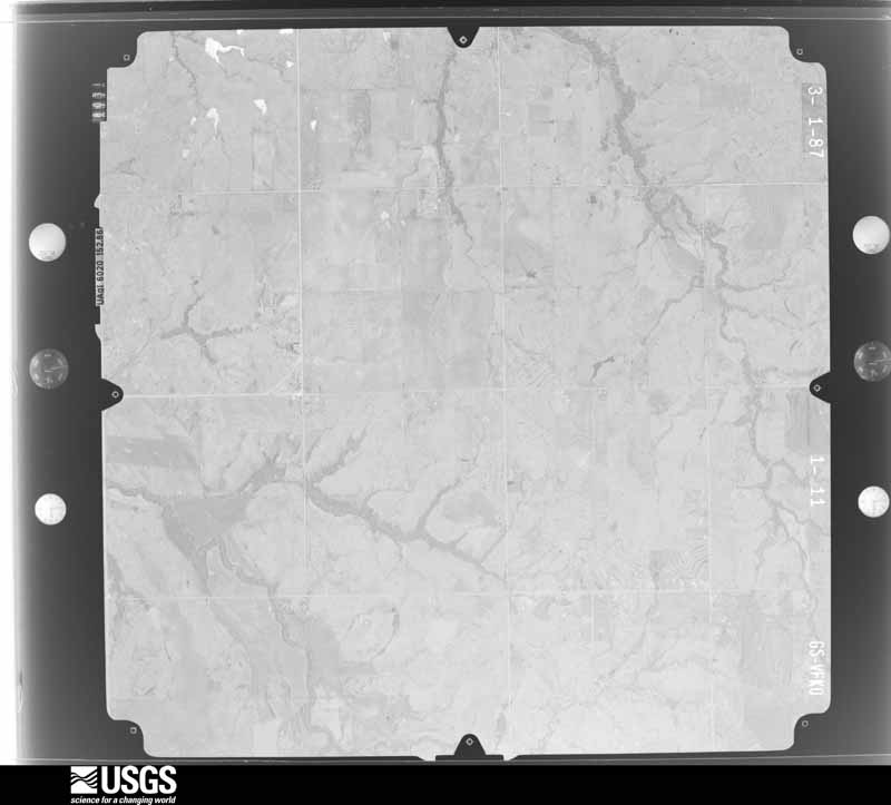
Flown by the U.S. Geological Survey between 1937 and 1989, the Aerial Photo Single Frames collection is the definitive mid-century view of the land: fields, roads and rivers as the camera saw them. The Survey holds 2,176 frames inside the rectangle that bounds this county; the 44 frames below were taken over the county itself, chosen across the decades of flights (at most four a year from that rectangle), so one flight cannot crowd out the rest. The full set is free to browse and download at EarthExplorer under the dataset Aerial Photo Single Frames.


The thermometers that kept this county's weather, and the gages that measured the flow of its streams, as the federal records hold them. The extremes below are measured values from those records, not estimates.
Who lived here in 1950, one enumeration district at a time, as the Census Bureau described each district. Each row opens its official National Archives result, with Population Schedules and ED Maps available there.
Every wildfire the federal occurrence database records inside this county: 856 of them, burning about 160,889 acres. 84 started naturally and 118 were recorded as arson. Each settlement page carries the fires within five miles of it.
| Reported cause | Fires |
|---|---|
| Debris and open burning | 163 |
| Equipment and vehicle use | 140 |
| Missing data/not specified/undetermined | 129 |
| Arson/incendiarism | 118 |
| Recreation and ceremony | 117 |
| Natural | 84 |
| Fireworks | 47 |
| Power generation/transmission/distribution | 28 |
| Smoking | 14 |
| Other causes | 6 |
| Railroad operations and maintenance | 4 |
| Firearms and explosives use | 3 |
| Misuse of fire by a minor | 3 |
The five largest, by the area the report gives. None of them was recorded as arson.
| Date | Cause | Size | Reported by | Name on the report |
|---|---|---|---|---|
| 1 September 2011 | Equipment and vehicle use | 39,907 acres | Wichita Mountains National Wildlife Refuge | FERGUSON |
| 25 January 1996 | Missing data/not specified/undetermined | 17,835 acres | Wichita Mountains National Wildlife Refuge | WESTSIDE |
| 14 September 2015 | Firearms and explosives use | 10,471 acres | Wichita Mountains National Wildlife Refuge | CRATER CREEK |
| 12 September 2000 | Natural | 10,206 acres | Wichita Mountains National Wildlife Refuge | CRATERLK-L |
| 18 August 1993 | Missing data/not specified/undetermined | 6,782 acres | Wichita Mountains National Wildlife Refuge | CRATER CRE |
| 12 March 2005 | Debris and open burning | 5,430 acres | Anadarko Agency | KIMBALRANC |
| 15 April 2011 | Missing data/not specified/undetermined | 4,500 acres | Wichita Mountains National Wildlife Refuge | CACHE ASSIST |
| 2 July 2018 | Natural | 4,196 acres | Wichita Mountains National Wildlife Refuge | WINTER VALLEY FIRE |
Every settlement page carries the fires within five miles of it - see the settlement index below.
The NOAA Storm Events Database holds 1,409 reports for this county, causing 8 deaths, 130 injuries and about $67,924,580 in recorded property damage. Each settlement page carries the reports that name it.
| Kind of event | Reports |
|---|---|
| Hail | 774 |
| Thunderstorm Wind | 462 |
| Flash Flood | 87 |
| Tornado | 65 |
| Flood | 14 |
| Lightning | 6 |
| Heavy Rain | 1 |
The most serious of them, by death, then injury, then recorded damage. The accounts are quoted exactly as the forecast office filed them.
| When | Event | Place named | Harm | What the report says |
|---|---|---|---|---|
| April 1979 | Tornado (F3) | not stated | 3 killed, 100 hurt, $25,000,000 | no account filed |
| May 2001 | Thunderstorm Wind | Lawton | 1 killed, $11,000,000 | Wind damage to buildings, homes, trees, and infrastructure was reported city-wide. A telephone pole fell on and killed a passenger riding on a motorcycle. |
| April 2025 | Flash Flood | Medicine Park | 1 killed, $250,000 | Numerous relayed images and videos showing extensive flash flooding in and around the community of Lawton. Multiple water rescues were performed, and multiple vehicles were stranded in floodwaters. A man drowned when his vehicle became submerged in floodwaters near the intersection of 2nd Street and F Avenue. Event time is approximate. |
| May 2015 | Flash Flood | (Fsi)Fort Sill | 1 killed, $30,000 | A man was swept away while attempting to take a vehicle across a low water crossing. The man's body was not found until several days later well downstream. The vehicle was swept into Medicine Creek at Fort Sill. |
| June 2016 | Flash Flood | Lawton | 1 killed, $10,000 | A 94 year old man was on his way to church when his truck was swept off the road and into a flooding creek. His body was recovered, still in his truck, Monday afternoon.|Several vehicles stranded in high water near Sheridan and B streets. Water was over one foot deep at the intersection of 27th street and G ave. 11th Street near Numu was closed due to high water. Interstate 44 was closed by high water near Rogers Lane. One foot deep water flowed over Mound road and Cache road. SE 60th and Bishop was impassable due to high water. A car was stranded in rushing water one mile east of I-44 on Gore ave. Several high water rescues were ongoing. |
| June 2010 | Flash Flood | Lawton | 1 killed | Numerous roads were closed due to high water. Several motorists had to be rescued after their automobiles stalled in the high water. One person drowned while trying to push his car out of the high water near NW Farris and 13th Street. No other serious injuries were reported. |
| October 1986 | Thunderstorm Wind | not stated | 8 hurt | no account filed |
| March 1973 | Tornado (F2) | not stated | 5 hurt, $25,000 | no account filed |
| January 2001 | Lightning | Lawton | 5 hurt | Lightning struck the ground near a group of 34 soldiers training at the East Range, sending 5 of them to the hospital for treatment. |
| May 1999 | Thunderstorm Wind | Indiahoma | 3 hurt, $5,000,000 | no account filed |
| May 1960 | Tornado (F1) | not stated | 3 hurt, $25,000 | no account filed |
| February 1987 | Tornado (F2) | not stated | 1 hurt, $2,500,000 | no account filed |
| May 1952 | Tornado (F2) | not stated | 1 hurt, $250,000 | no account filed |
| May 2019 | Tornado (EF2) | Geronimo | 1 hurt, $150,000 | A QLCS tornado destroyed two homes about three miles east of Geronimo. One home had most exterior walls collapsed while another house just across the street to the north had it's roof removed and many of the exterior walls collapsed. A few power poles were snapped and a tree was uprooted. |
| May 2016 | Thunderstorm Wind | Geronimo | 1 hurt, $100,000 | Power lines and power poles were downed. Roof damage was also reported at the elementary school. One mobile home was partially destroyed and another was pushed off its foundation. |
| March 2004 | Thunderstorm Wind | Cache | 1 hurt, $50,000 | Strong winds ripped off a 2500 square foot section of the roof of the Trading Post. One woman was injured when portions of the roof hit her in the face. A mobile home was also flipped onto its side. |
| February 1971 | Tornado (F1) | not stated | 1 hurt, $25,000 | no account filed |
| May 2001 | Thunderstorm Wind | Ft Sill Aaf | $10,000,000 | Damage to buildings, homes, trees, and infrastructure was reported city-wide. |
| August 1993 | Thunderstorm Wind | Lawton Municipal Airp | $5,000,000 | Isolated thunderstorms in southwest Oklahoma during the afternoon hours on the 23rd produced strong winds in Lawton. Winds measured at 75 mph flipped over a $1 million airplane and damaged hangar doors at Lawton Municipal Airport. Damage to the airplane was estimated at $500,000. |
| May 1982 | Tornado (F0) | not stated | $2,500,000 | no account filed |
| May 2015 | Flash Flood | Cache | $800,000 | Flood waters up to roofs of homes in the Rock Creek subdivision. |
| May 2015 | Flash Flood | Cache | $300,000 | Homes flooding with vehicles floating away from residences. |
| August 2002 | Thunderstorm Wind | Lawton | $250,000 | The roof was damaged at Hugh Bish Elementary School. |
| October 1983 | Tornado (F2) | not stated | $250,000 | no account filed |
| May 1982 | Tornado (F1) | not stated | $250,000 | no account filed |
| April 1978 | Tornado (F2) | not stated | $250,000 | no account filed |
| June 1973 | Tornado (F2) | not stated | $250,000 | no account filed |
| May 1957 | Tornado (F4) | not stated | $250,000 | no account filed |
| May 1952 | Tornado (F2) | not stated | $250,000 | no account filed |
| May 2012 | Thunderstorm Wind | Sterling | $210,000 | Wind damage was also reported in the area with several power poles snapped at ground level and damage to many cars and residential roofs. A large cell tower toppled on the east side of Lawton. Monetary damages are estimated. |
| May 2015 | Flash Flood | Meers | $200,000 | Water rescue near 875 NW Apache Drive. Two to three feet of water inside residence. |
| April 2013 | Tornado (EF0) | Cache | $200,000 | The tornado was reported on the west side of Lawton. Minor damage was done to the Goodyear Tire Plant at southwest Lee and Goodyear Boulevards. |
| August 2007 | Flash Flood | Lawton | $200,000 | The bridge at Bemel Road was severely damaged. Also, several county roads and bridges in and around Fletcher were closed due to high water. Monetary damages were estimated. |
| March 2004 | Thunderstorm Wind | Lawton | $200,000 | Wind gust was measured by ultimeter anemometer on SW 45th Street at 1404 CST. The house across the street lost many shingles on west facing slope of roof. Power lines were downed across town. The football concession stand at Cameron University was picked up and thrown into a nearby parking lot damaging 50 vehicles. |
| May 2015 | Flash Flood | Indiahoma | $120,000 | Water rescue at residence. |
| May 2015 | Flash Flood | Faxon | $100,000 | Numerous vehicles stranded in high water. Up to two feet of water over area roads. |
| June 2005 | Thunderstorm Wind | Fletcher | $100,000 | One business was reported destroyed with another sustaining major roof damage. Power poles and trees were also downed. |
| March 2004 | Thunderstorm Wind | Lake Latonka | $100,000 | Several travel trailers and mobile homes were damaged at School House Slough. |
| March 2004 | Thunderstorm Wind | Chattanooga | $75,000 | Approximately 70 distribution power poles were reported down in this area. |
| May 2015 | Flash Flood | Cache | $70,000 | Water up to three to four feet deep on area roads. Numerous water rescues underway. |
| May 2007 | Flash Flood | Lawton | $70,000 | Forty people had to be evacuated due to the rapidly rising water. A creek bridge was reported washed out near the Wichita Mountain Estates. Five horses drowned after a failed rescue attempt. Several roads were closed due to the high water. Monetary damages were estimated. |
| August 2013 | Thunderstorm Wind | Fletcher | $55,000 | Commercial building roof collapsed. Several carports blown away with 3 utility poles snapped. |
| May 2025 | Flash Flood | Cache | $50,000 | Roadway flooding occurred near the intersection of E Avenue and 8th Street in the community of Cache. Multiple vehicles became stranded in floodwaters, and at least one water rescue was performed near this location. The event time is approximate. |
| June 2025 | Flash Flood | Lawton | $50,000 | Roadway flooding along Lee Boulevard due to water rise from nearby Numu Creek. Several cars became stranded in floodwaters at this location. The event time is approximate. |
| April 1995 | Tornado (F1) | Faxon | $50,000 | no account filed |
| April 1995 | Thunderstorm Wind | Nr Faxon | $50,000 | no account filed |
| April 1994 | Thunderstorm Wind | Indiahoma | $50,000 | no account filed |
| April 1994 | Thunderstorm Wind | Indiahoma | $50,000 | no account filed |
| May 2016 | Thunderstorm Wind | Lawton | $45,000 | A 15 inch tree branch was snapped and landed on the roof of a home. Two large trees were also uprooted. There were also a few power poles snapped. |
| September 2023 | Thunderstorm Wind | Geronimo | $40,000 | Relayed images showing scattered wind damage in and around the community of Geronimo. The most significant damage included a roof removed from a mobile home, a large carport lofted into a tree and multiple travel trailers tipped over/rolled. Time is radar estimated. |
| June 2023 | Thunderstorm Wind | Lawton | $30,000 | Outermost layer of roof decking of a two-story apartment blown off due to thunderstorm wind. Time is radar estimated. |
| June 2007 | Flash Flood | Lawton | $30,000 | Up to 100 homes in the Garden Village Addition were evacuated due to rising water. Monetary Damages were estimated. |
| March 2000 | Thunderstorm Wind | Geronimo | $26,000 | Four uninhabited mobile homes were destroyed, and 2 other mobile homes were damaged. Two power poles were also downed. |
| January 2026 | Thunderstorm Wind | Lawton | $25,000 | AC units and bleachers were damaged at MacArthur Middle School. The event time is estimated from radar observations. |
| May 2016 | Flash Flood | Lawton | $25,000 | A city park was reported under water with up to 3 feet of water present. At least one vehicle was stranded. |
| August 2012 | Thunderstorm Wind | Lawton | $25,000 | At NW 112th and NW Cache Rd., 5-6 power poles were blown down. Roof damage and blown out windows were also reported at this location. |
| October 2004 | Thunderstorm Wind | Lawton | $25,000 | A strong wind gust peeled the tin roof and siding off of the Veterans Center. There was also roof damage to a school and several homes on the east side of town. Damage was reported by KSWO-TV in Lawton, Oklahoma. |
| October 2000 | Lightning | Lawton | $25,000 | Lightning struck an insulator on West Gore Blvd. and 67th Street causing a power outage to about 1100 homes. |
| August 1997 | Thunderstorm Wind | Lawton | $25,000 | Severe thunderstorm winds downed power lines, limbs, and trees throughout Lawton and Fort Sill. Windows were also blown out on Fort Sill. |
| November 1998 | Thunderstorm Wind | Sterling | $25,000 | no account filed |
The Survey's mineral resources record lists 134 workings inside this county. 10 still produce and 124 are closed or unrecorded. Each settlement page carries the workings within five miles of it.
| Commodity | Workings |
|---|---|
| Sand and Gravel, Construction | 94 |
| Copper | 9 |
| Stone, Crushed/Broken, Sand and Gravel, Construction | 7 |
| Stone, Crushed/Broken | 6 |
| Dolomite, Stone, Crushed/Broken | 4 |
| Silver | 3 |
| Lead, Copper | 2 |
| Clay, Sand and Gravel, Construction | 2 |
| Gypsum-Anhydrite | 2 |
| Iron, Titanium, Metal, Vanadium | 1 |
| Zinc, Gold | 1 |
| Zirconium | 1 |
| Copper, Lead | 1 |
| Copper, Barium-Barite | 1 |
The least common of them first, because a county's hundredth gravel pit says nothing its first ten did not.
| Where | Site | Commodity | Status | Recorded |
|---|---|---|---|---|
| Copper Eagle Prospect | Copper, Lead | Past Producer | 1904, 1906 | |
| Cross Mountain-1 | Copper, Lead, Zinc | Past Producer | 1909, 1915 | |
| Hale Copper Mine | Copper, Nickel, Zirconium, Chromium, Vanadium, Zinc | Past Producer | 1884, 1887, 1960 | |
| Hardin Prospect-1 | Copper, Lead, Zinc | Past Producer | 1902, 1903, 1909 | |
| Ira B. Smith Quarry | Granite | Past Producer | ||
| Lake Lawtonka Placer | Titanium, Metal | Occurrence | Ilmenite | |
| Parker Prospect | Lead, Copper, Silver, Zinc, Gold | Past Producer | 1902, 1907, 1912 | |
| Three Boys Claim | Copper, Nickel | Past Producer | 1902, 1903 | |
| Unknown Clay Pit | Clay | Past Producer | ||
| Vance Prospect | Copper, Barium-Barite | Past Producer | 1937, 1940 | |
| Wichita Mtns. Area | Iron, Titanium, Metal, Vanadium | Occurrence | ||
| Zircon Mine | Zirconium, Copper | Past Producer | 1905, 1906, 1934 | |
| Clark and Bennett Prospect | Lead, Copper, Silver | Past Producer | 1903 | |
| Fletcher Quarry & Plant | Gypsum-Anhydrite | Producer | ||
| Texas Gypsum Pit | Gypsum-Anhydrite | Producer | ||
| Unknown Gravel Pit | Clay, Sand and Gravel, Construction | Past Producer | ||
| Unknown Sand and Clay Pit | Clay, Sand and Gravel, Construction | Past Producer | ||
| Pearson Prospect | Copper, Silver | Past Producer | 1904, 1906 | |
| Unknown Limestone Pit | Dolomite, Stone, Crushed/Broken | Past Producer | ||
| Unknown Limestone Pit | Dolomite, Stone, Crushed/Broken | Past Producer | ||
| Unknown Limestone Pit | Dolomite, Stone, Crushed/Broken | Past Producer | ||
| Unknown Limestone Pit | Dolomite, Stone, Crushed/Broken | Past Producer | ||
| Richards Spur Quarry | Stone, Crushed/Broken | Producer | ||
| Unknown Gravel Pit | Stone, Crushed/Broken | Producer | ||
| Unknown Limestone Pit | Stone, Crushed/Broken | Past Producer | ||
| Unknown Limestone Pit | Stone, Crushed/Broken | Past Producer | ||
| Unknown Limestone Pit | Stone, Crushed/Broken | Past Producer | ||
| Unknown Limestone Pit | Stone, Crushed/Broken | Past Producer | ||
| Unknown Gravel Pit | Stone, Crushed/Broken, Sand and Gravel, Construction | Past Producer | ||
| Unknown Gravel Pit | Stone, Crushed/Broken, Sand and Gravel, Construction | Past Producer | ||
| Unknown Gravel Pit | Stone, Crushed/Broken, Sand and Gravel, Construction | Past Producer | ||
| Unknown Gravel Pit | Stone, Crushed/Broken, Sand and Gravel, Construction | Past Producer | ||
| Unknown Gravel Pit | Stone, Crushed/Broken, Sand and Gravel, Construction | Past Producer | ||
| Unknown Gravity Pit | Stone, Crushed/Broken, Sand and Gravel, Construction | Past Producer | ||
| Unknown Limestone Pit | Stone, Crushed/Broken, Sand and Gravel, Construction | Past Producer | ||
| Buckhorn Prospect | Copper | Past Producer | 1903, 1904 | |
| Hardin Prospect-2 | Copper | Past Producer | 1902, 1904 | |
| Hattie Green Prospect | Copper | Past Producer | 1904 | |
| Hobbs Canyon | Copper | Occurrence | 1952 | |
| Wolf Creek-1 | Copper | Occurrence | 1936 | |
| Unknown Gravel Pit | Sand and Gravel, Construction | Past Producer | ||
| Unknown Gravel Pit | Sand and Gravel, Construction | Past Producer | ||
| Unknown Gravel Pit | Sand and Gravel, Construction | Past Producer | ||
| Unknown Gravel Pit | Sand and Gravel, Construction | Past Producer | ||
| Unknown Gravel Pit | Sand and Gravel, Construction | Past Producer | ||
| Unknown Gravel Pit | Sand and Gravel, Construction | Past Producer | ||
| Unknown Gravel Pit | Sand and Gravel, Construction | Past Producer | ||
| Unknown Gravel Pit | Sand and Gravel, Construction | Past Producer | ||
| Unknown Gravel Pit | Sand and Gravel, Construction | Past Producer | ||
| Unknown Gravel Pit | Sand and Gravel, Construction | Past Producer | ||
| Unknown Gravel Pit | Sand and Gravel, Construction | Past Producer | ||
| Unknown Gravel Pit | Sand and Gravel, Construction | Past Producer | ||
| Unknown Gravel Pit | Sand and Gravel, Construction | Past Producer | ||
| Unknown Gravel Pit | Sand and Gravel, Construction | Past Producer | ||
| Unknown Gravel Pit | Sand and Gravel, Construction | Past Producer | ||
| Unknown Gravel Pit | Sand and Gravel, Construction | Past Producer | ||
| Unknown Gravel Pit | Sand and Gravel, Construction | Past Producer | ||
| Unknown Gravel Pit | Sand and Gravel, Construction | Past Producer | ||
| Unknown Gravel Pit | Sand and Gravel, Construction | Past Producer | ||
| Unknown Gravel Pit | Sand and Gravel, Construction | Past Producer | ||
| Unknown Gravel Pit | Sand and Gravel, Construction | Producer | ||
| Unknown Gravel Pit | Sand and Gravel, Construction | Past Producer | ||
| Unknown Gravel Pit | Sand and Gravel, Construction | Past Producer | ||
| Unknown Gravel Pit | Sand and Gravel, Construction | Past Producer | ||
| Unknown Gravel Pit | Sand and Gravel, Construction | Past Producer | ||
| Unknown Gravel Pit | Sand and Gravel, Construction | Past Producer | ||
| Unknown Gravel Pit | Sand and Gravel, Construction | Past Producer | ||
| Unknown Gravel Pit | Sand and Gravel, Construction | Past Producer | ||
| Unknown Gravel Pit | Sand and Gravel, Construction | Past Producer | ||
| Unknown Gravel Pit | Sand and Gravel, Construction | Past Producer | ||
| Unknown Gravel Pit | Sand and Gravel, Construction | Past Producer | ||
| Unknown Gravel Pit | Sand and Gravel, Construction | Past Producer | ||
| Unknown Gravel Pit | Sand and Gravel, Construction | Past Producer | ||
| Unknown Gravel Pit | Sand and Gravel, Construction | Past Producer | ||
| Unknown Gravel Pit | Sand and Gravel, Construction | Past Producer | ||
| Unknown Gravel Pit | Sand and Gravel, Construction | Past Producer | ||
| Unknown Gravel Pit | Sand and Gravel, Construction | Past Producer | ||
| Unknown Gravel Pit | Sand and Gravel, Construction | Past Producer | ||
| Unknown Gravel Pit | Sand and Gravel, Construction | Past Producer | ||
| Unknown Gravel Pit | Sand and Gravel, Construction | Past Producer | ||
| Unknown Gravel Pit | Sand and Gravel, Construction | Producer | ||
| Unknown Gravel Pit | Sand and Gravel, Construction | Producer | ||
| Unknown Gravel Pit | Sand and Gravel, Construction | Past Producer | ||
| Unknown Gravel Pit | Sand and Gravel, Construction | Past Producer | ||
| Unknown Gravel Pit | Sand and Gravel, Construction | Past Producer | ||
| Unknown Gravel Pit | Sand and Gravel, Construction | Past Producer | ||
| Unknown Gravel Pit | Sand and Gravel, Construction | Past Producer | ||
| Unknown Gravel Pit | Sand and Gravel, Construction | Past Producer | ||
| Unknown Gravel Pit | Sand and Gravel, Construction | Past Producer | ||
| Unknown Gravel Pit | Sand and Gravel, Construction | Past Producer | ||
| Unknown Gravel Pit | Sand and Gravel, Construction | Past Producer | ||
| Unknown Gravel Pit | Sand and Gravel, Construction | Past Producer | ||
| Unknown Gravel Pit | Sand and Gravel, Construction | Past Producer | ||
| Unknown Gravel Pit | Sand and Gravel, Construction | Past Producer | ||
| Unknown Gravel Pit | Sand and Gravel, Construction | Past Producer | ||
| Unknown Gravel Pit | Sand and Gravel, Construction | Past Producer | ||
| Unknown Gravel Pit | Sand and Gravel, Construction | Past Producer | ||
| Unknown Gravel Pit | Sand and Gravel, Construction | Past Producer | ||
| Unknown Gravel Pit | Sand and Gravel, Construction | Past Producer | ||
| Unknown Gravel Pit | Sand and Gravel, Construction | Past Producer | ||
| Unknown Gravel Pit | Sand and Gravel, Construction | Past Producer | ||
| Unknown Gravel Pit | Sand and Gravel, Construction | Past Producer | ||
| Unknown Gravel Pit | Sand and Gravel, Construction | Past Producer | ||
| Unknown Gravel Pit | Sand and Gravel, Construction | Past Producer | ||
| Unknown Gravel Pit | Sand and Gravel, Construction | Past Producer | ||
| Unknown Gravel Pit | Sand and Gravel, Construction | Past Producer | ||
| Unknown Gravel Pit | Sand and Gravel, Construction | Past Producer | ||
| Unknown Gravel Pit | Sand and Gravel, Construction | Past Producer | ||
| Unknown Gravel Pit | Sand and Gravel, Construction | Past Producer | ||
| Unknown Gravel Pit | Sand and Gravel, Construction | Producer |
Named settlements recorded in the Geographic Names Information System, each with the topographic sheets covering it. Villages, hamlets and abandoned places alike. Each is shown with the nearest named watercourse or landform and the survey quadrangle it falls on. The 2 places that were also surveyed for fire insurance come first, with the number of atlases and photographs held for them.
Southwest Comanche census division · 73528 · Chattanooga quadrangle
9 sheets, 1955 to 1987
Fire insurance: 4 atlases
Lawton census division · 73501 · Near Rock Island Depot · Lawton quadrangle
13 sheets, 1946 to 1991
Fire insurance: 7 atlases
Fort Sill census division · 73503 · Near Grierson Hill · Fort Sill quadrangle
16 sheets, 1946 to 1991
Southeast Comanche census division · 73501 · On Armstrong Creek · Letitia quadrangle
12 sheets, 1949 to 1991
Southwest Comanche census division · 73527 · On Rock Creek · Quanah Mountain quadrangle
24 sheets, 1937 to 1997
Northwest Comanche census division · 73507 · Near Sulphur Flat · Quanah Mountain quadrangle
24 sheets, 1937 to 1997
Fort Sill census division · 73503 · Near Chatto Flats · Fort Sill quadrangle
16 sheets, 1946 to 1991
Fort Sill census division · 73503 · Near Corral Hill · Fort Sill quadrangle
16 sheets, 1946 to 1991
Northwest Comanche census division · 73006 · On Tony Creek · Elgin quadrangle
14 sheets, 1949 to 1991
Southeast Comanche census division · 73507 · Sterling quadrangle
12 sheets, 1949 to 1991
Northwest Comanche census division · 73507 · Near Mount Cummins · Fort Sill quadrangle
16 sheets, 1946 to 1991
Northwest Comanche census division · 73006 · On Chandler Creek · Richards Spur quadrangle
11 sheets, 1955 to 1991
Southwest Comanche census division · 73540 · On Blue Beaver Creek · Faxon quadrangle
9 sheets, 1955 to 1987
Fort Sill census division · 73503 · Near Apache Ridge · Fort Sill quadrangle
16 sheets, 1946 to 1991
Northwest Comanche census division · 73538 · On Chandler Creek · Richards Spur quadrangle
11 sheets, 1955 to 1991
Fort Sill census division · 73503 · Near Corral Hill · Fort Sill quadrangle
16 sheets, 1946 to 1991
Northwest Comanche census division · 73552 · Near Phantom Mountain · Quanah Mountain quadrangle
24 sheets, 1937 to 1997
Lawton census division · 73507 · Near Rock Island Depot · Lawton quadrangle
13 sheets, 1946 to 1991
No longer a settlement
Northwest Comanche census division · 73006 · On Tony Creek · Elgin quadrangle
14 sheets, 1949 to 1991
Northwest Comanche census division · 73538 · On Chandler Creek · Richards Spur quadrangle
11 sheets, 1955 to 1991
Northwest Comanche census division · 73507 · On Canyon Creek · Meers quadrangle
13 sheets, 1950 to 1991
Northwest Comanche census division · 73557 · On Little Medicine Creek · Mount Scott quadrangle
22 sheets, 1937 to 1997
Northwest Comanche census division · 73507 · On Ranch Creek · Meers quadrangle
13 sheets, 1950 to 1991
Fort Sill census division · 73503 · Near Musketry Flats · Fort Sill quadrangle
16 sheets, 1946 to 1991
Northwest Comanche census division · 73538 · On Rock Creek · Richards Spur quadrangle
11 sheets, 1955 to 1991
Northwest Comanche census division · 73538 · On Frisco Creek · Fort Sill quadrangle
16 sheets, 1946 to 1991
Lawton census division · 73507 · On Sitting Bear Creek · Fort Sill quadrangle
16 sheets, 1946 to 1991
Northwest Comanche census division · 73507 · Near Mount Roosevelt · Mount Scott quadrangle
22 sheets, 1937 to 1997
The vanished settlements of Comanche County: the places named above that are no longer on the map.
13 topographic sheets and 7 fire insurance atlases, 1904 to 1950
9 topographic sheets and 4 fire insurance atlases, 1912 to 1930
The complete index, with nothing left out. Each of these is a separate record with its own page: a federal survey report, or the case file that argued a property on to the National Register. Both are public domain and reproduced word for word.
The vanished settlements of Comanche County, the places these records name that are no longer on the map.