 Block
Valley Brook, Oklahoma
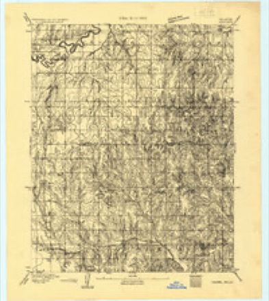
18 topographic sheets cover this place, the earliest surveyed in 1892 and the latest in 1995. It stands in the Oklahoma City Southwest census division. It lies in ZIP code area 73149. The Survey maps it on the Midwest City quadrangle. 665 people lived here at the 2020 count. It stands 1,263 feet above sea level.
Population over time
3 figuresValley Brook fell from 817 to 665 between 2000 and 2020. These are the recorded population figures Wikidata holds for this place, reached through the Geographic Names Information System number this page is keyed on rather than by name, so they belong to this place and not to another of the same name. Most are census counts, but not all are: an early figure may be a founding or settlement estimate, and an estimate published within five years of a census is left out. The change column is computed, and is left blank where more than 20 years separate a figure from the one before it, because a gap that long is not a change between two counts.
| Year | People | Change |
|---|---|---|
| 2000 | 817 | |
| 2010 | 765 | -52 (-6%) |
| 2020 | 665 | -100 (-13%) |
Topographic sheets covering this place
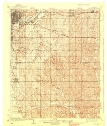
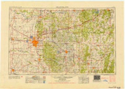
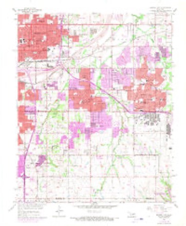
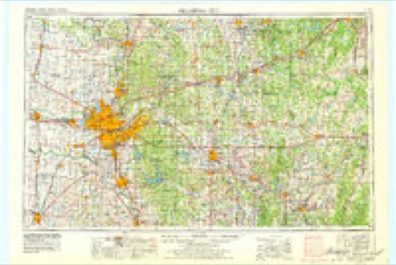
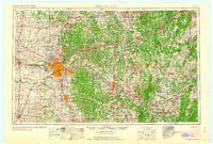
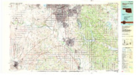
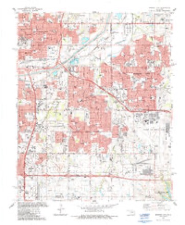
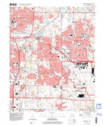
12 surveys from 18 printed sheetsMatched by testing this settlement's coordinate against the published boundary of every sheet in the United States Geological Survey's historical collection. Each opens the scanned sheet at the Survey.
- 1892 USGS Moore quadrangle1:62500
- 1898 USGS Purcell quadrangle1:125000
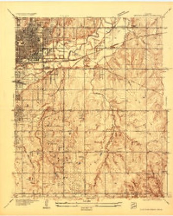
- 1934 USGS Crutcho Creek quadrangle1:24000
- 1934 USGS Moore quadrangle1:62500
- 1938 USGS Moore quadrangle1:62500, 2 printings
- 1954 USGS Oklahoma City quadrangle1:250000
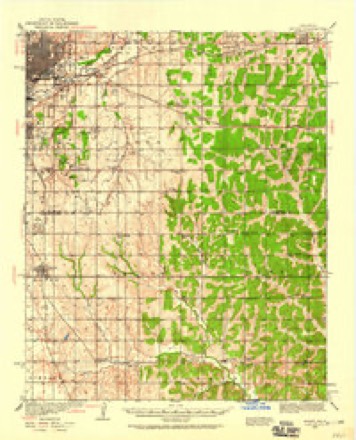
- 1956 USGS Midwest City quadrangle1:24000, 3 printings
- 1957 USGS Oklahoma City quadrangle1:250000, 3 printings
- 1963 USGS Oklahoma City quadrangle1:250000
- 1985 USGS Oklahoma City South quadrangle1:100000, 2 printings
- 1986 USGS Midwest City quadrangle1:24000
- 1995 USGS Midwest City quadrangle1:24000
Mines and quarries near this place
3 within 5 milesRegional context, not property-specific evidence. The federal mineral resources record lists 3 workings within 5 miles of Valley Brook: 2 past producers, 1 producer. 1 still produces. What was taken out: Sand and Gravel, Construction, Silica. Distance is straight-line from the map coordinates, so a quarry counted here may appear on a neighbouring settlement's page as well.
| Where | Site | Commodity | Status | Recorded |
|---|---|---|---|---|
| May Pit | Silica | Producer | ||
| Unknown Sand Pit | Sand and Gravel, Construction | Past Producer | ||
| Unknown Sand Pit | Sand and Gravel, Construction | Past Producer |
Storms near this place
42 since 2009Regional context, not property-specific evidence. The National Weather Service names Valley Brook in 42 storm reports between 2009 and 2026: 13 hail, 13 thunderstorm wind, 12 flash flood, 4 tornado. The reports record 18 injuries. Each account below is quoted exactly as the forecast office filed it, from the NOAA Storm Events Database, and each date opens the federal record of that event.
| When | Event | Place named | Harm | What the report says |
|---|---|---|---|---|
| May 2015 | Tornado (EF3) | Valley Brook | 12 hurt | A tornado touched down near Southeast 59th Street and Eastern Avenue in Oklahoma City, and moved north along Eastern Avenue, then northwest crossing Interstate 35 near and south of Southeast 44th Street before turning west and dissipating near Southeast 44th Street and Lindsay Avenue. The most significant damage occurred just east of Interstate 35 where a motel sustained significant damage losing most walls on the second floor (DI 6, DOD 8) and significant damage to many recreational vehicles at an adjacent RV park. While not directly related to the tornado, one woman perished while seeking shelter from the tornado in a below ground storm cellar. Heavy rains flooded the cellar, and the woman drowned. |
| November 2024 | Tornado (EF3) | Valley Brook | 6 hurt, $15,000,000 | This tornado initially developed in Cleveland County before moving into Oklahoma County between Sunnylane Road and Sooner Road. The tornado moved through neighborhoods west of Sooner Road between SE 89th Street and Interstate 240 damaging dozens of homes. The most intense damage was along SE 85th and SE 86th Street where at least three homes had EF3 damage. The tornado turned more north as it approached Interstate 240 and moved north along and just west of Sooner Road before dissipating north of SE 70th Street. |
| May 2024 | Thunderstorm Wind | Valley Brook | $100,000 | A corridor of significant straight-line wind damage was identified across portions of southern Oklahoma County, occurring between two separate tornado paths (see separate entries for details on these events). Multiple residences and businesses had windows blown out and/or minor roof damage/shingle loss, multiple power poles were snapped, and large tree limbs were blown down. Both the wind path and time are estimated. |
| July 2016 | Thunderstorm Wind | Valley Brook | $30,000 | Roof blown off of apartment complex, also causing damage to nearby cars. |
| July 2013 | Flash Flood | Valley Brook | $30,000 | Local media station KWTV reports I-240 and Santa Fe are flooded. Up to a foot of water covering area roadways and up to car bumpers. Damages estimated. |
| April 2026 | Tornado (EF0) | Valley Brook | $20,000 | This tornado was embedded within a larger area of wind damage. Oklahoma City Emergency Management reported areas of tree damage from just southeast of SE 44th St and Bryant Road to along SE 48th Street and SE 47th Street east of Sooner Road, or just west of Tinker AFB. One tree near Southeast 48th Street and Royal Lane was blown onto a mobile home. |
| May 2013 | Tornado (EF0) | Valley Brook | $20,000 | An EF-0 tornado traveled from Creekwood Terrace southeast to Keith Drive near SE 54th Street. Minor damage to trees and power lines was noted. Damages estimated. |
| June 2023 | Thunderstorm Wind | Valley Brook | $10,000 | A large carport was lifted and heavily damaged by thunderstorm wind. Time is radar estimated. |
| April 2025 | Flash Flood | Valley Brook | - | Multiple water rescues, due to flooding along the roadway, near the intersection of Interstate 240 and Eastern Avenue. Event time is approximate. |
| April 2025 | Flash Flood | Valley Brook | - | Roadway flooding in areas west of Tinker Air Force Base, including water rescues at the intersections of Southeast 56th Street and Eastern Avenue and Southeast 59th Street and Sooner Road. Event time is approximate. |
| June 2025 | Hail | Valley Brook | - | The report was relayed through mPING. |
| September 2024 | Hail | Valley Brook | - | Measured near the intersection of Sunnylane Road and Interstate 240. |
| November 2024 | Flash Flood | Valley Brook | - | A social media image shows significant roadway flooding near the intersection of Southwest 51st Street and Douglas Avenue. Event time is approximate. |
| May 2024 | Hail | Valley Brook | - | Relayed image. |
| May 2024 | Hail | Valley Brook | - | MPing report. |
| May 2024 | Hail | Valley Brook | - | MPing report. |
| July 2022 | Thunderstorm Wind | Valley Brook | - | Blown down metal fencing. |
| July 2022 | Thunderstorm Wind | Valley Brook | - | Building damage reported in Oklahoma City. |
| July 2022 | Thunderstorm Wind | Valley Brook | - | Tree damage reported. |
| July 2021 | Flash Flood | Valley Brook | - | Access roads almost impassable at the I240/I35 junction. Underpasses quickly filling with water. |
| October 2021 | Thunderstorm Wind | Valley Brook | - | Also quarter sized hail reported. |
| July 2020 | Thunderstorm Wind | Valley Brook | - | Numerous tree limbs downed. |
| August 2018 | Flash Flood | Valley Brook | - | Stalled car at SW 86th and Western reported. |
| August 2018 | Thunderstorm Wind | Valley Brook | - | Two to three foot diameter tree blown down. |
| August 2018 | Flash Flood | Valley Brook | - | One to two feet of water over roadway at SW 89th and Western in Oklahoma City. |
| April 2017 | Thunderstorm Wind | Valley Brook | - | No damage reported. |
| August 2017 | Flash Flood | Valley Brook | - | Flooding caused stalled vehicles in both residential and commercial roadways. |
| October 2016 | Flash Flood | Valley Brook | - | I-240 and S. Eastern Ave were impassable due to flooding. |
| May 2015 | Thunderstorm Wind | Valley Brook | - | Reported on I-240. No damage reported. |
| May 2014 | Flash Flood | Valley Brook | - | Up to two feet of water made roads impassable near southwest 89th street between Western and Walker avenues. No damage was reported. |
| April 2014 | Hail | Valley Brook | - | The hail was reported at interstate 240 and Sooner road. |
| May 2013 | Flash Flood | Valley Brook | - | Media reports of high water rescue at southwest 86th and Western. No damage or injuries reported. |
| June 2011 | Thunderstorm Wind | Valley Brook | - | The measured wind gust occurred near the intersection of Highway 77h and SE 135th Street. |
| July 2010 | Flash Flood | Valley Brook | - | A small-scale, but intense band of heavy rainfall occurred over parts of southern Oklahoma City. Rainfall rates exceeding three inches per hour occurred for two to three hours, causing several streets to be flooded. Major roadways, including I-240 and I-44 had to be closed for a short period due to the high water. Lightning Creek flooded again for the 2nd time, flooding homes with up to three feet of water in some cases. Monetary damage estimates were not available. |
| August 2009 | Hail | Valley Brook | - | The hail was reported near the corner of SW 44th and Western Avenue. |
| August 2009 | Hail | Valley Brook | - | The hail was reported near the corner of SW 59th and Walker Avenue. |
| May 2024 | Hail | Valley Brook | - | no account filed |
| May 2024 | Thunderstorm Wind | Valley Brook | - | no account filed |
| October 2021 | Hail | Valley Brook | - | no account filed |
| October 2021 | Hail | Valley Brook | - | no account filed |
| May 2016 | Hail | Valley Brook | - | no account filed |
| May 2013 | Hail | Valley Brook | - | no account filed |
Nearest settlements
The eight closest, with where each one stands in the county. Distances are straight-line, computed from the Geographic Names Information System coordinates.
| Map | Place | Distance | Sheets |
|---|---|---|---|
| Flynn | 0.3 miles | 18 | |
| Del City | 3.5 miles | 18 | |
| Smith Village | 3.6 miles | 18 | |
| Midway Village | 4.4 miles | 18 | |
| Oklahoma City | 4.9 miles | 19 | |
| Midwest City | 5.6 miles | 18 | |
| Lillard Park | 6.3 miles | 19 | |
| Forest Park | 7.3 miles | 17 |
Elsewhere
Matched on this settlement's Geographic Names Information System number rather than its name, so it cannot be a different place of the same name in another state.
| Wikipedia article on Valley Brook | An encyclopaedic summary. Its text is share-alike, so it is linked here rather than copied. |
| Wikidata item Q2199145 | The structured record the population and elevation above come from. Public domain (CC0). |
Provenance
This settlement is recorded in the Geographic Names Information System as feature 1099200. The sheet list is computed by point-in-boundary test against the United States Geological Survey's historical topographic inventory. Both are works of the United States government and carry no copyright under 17 U.S.C. 105.
Mines and quarries. USGS Mineral Resources Data System (MRDS) https://mrdata.usgs.gov/mrds/ A work of the United States government, no copyright under 17 U.S.C. 105.
Storms. NOAA National Centers for Environmental Information, Storm Events Database https://www.ncei.noaa.gov/stormevents/ A work of the United States government, no copyright under 17 U.S.C. 105. Narratives are quoted verbatim from the National Weather Service report and are not edited or summarised.