 Block
Sherwood, Oklahoma
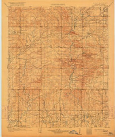
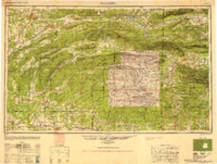
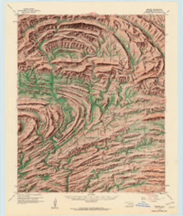
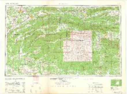
19 topographic sheets cover this place, the earliest surveyed in 1902 and the latest in 1986. It stands in the North McCurtain census division. It lies in ZIP code area 74728. The Survey maps it on the Bethel quadrangle. It stands 1,040 feet above sea level.
Topographic sheets covering this place
9 surveys from 19 printed sheetsMatched by testing this settlement's coordinate against the published boundary of every sheet in the United States Geological Survey's historical collection. Each opens the scanned sheet at the Survey.
- 1902 USGS Lukfata quadrangle1:125000, 3 printings
- 1950 USGS Mcalester quadrangle1:250000, 2 printings
- 1960 USGS Bethel quadrangle1:62500, 6 printings
- 1962 USGS Mc Alester quadrangle1:250000
- 1962 USGS McAlester quadrangle1:250000
- 1965 USGS Mc Alester quadrangle1:250000, 2 printings
- 1965 USGS McAlester quadrangle1:250000
- 1982 USGS Bethel quadrangle1:24000
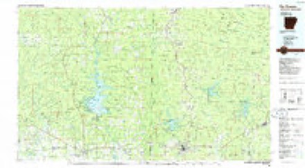
- 1986 USGS De Queen quadrangle1:100000, 2 printings
Fires near this place
384 since 1992Regional context, not property-specific evidence. The federal wildfire occurrence database lists 384 fires within 5 miles of Sherwood between 1992 and 2020, burning about 3,762 acres in total. 20 started naturally. 172 were recorded as arson. Distance is straight-line from the map coordinates, so a fire counted here may appear on a neighbouring settlement's page as well.
| Reported cause | Fires |
|---|---|
| Arson/incendiarism | 172 |
| Missing data/not specified/undetermined | 116 |
| Debris and open burning | 33 |
| Equipment and vehicle use | 29 |
| Natural | 20 |
| Railroad operations and maintenance | 5 |
| Smoking | 5 |
| Misuse of fire by a minor | 2 |
| Power generation/transmission/distribution | 1 |
| Recreation and ceremony | 1 |
The most recent of them, most recent first, with the day each was reported and the service that recorded it.
| Date | Cause | Size | Reported by | Name on the report |
|---|---|---|---|---|
| 9 September 2019 | Equipment and vehicle use | under an acre | Oklahoma Division of Forestry | not named |
| 9 September 1996 | Missing data/not specified/undetermined | 1.0 acres | Oklahoma Division of Forestry | not named |
| 9 September 1996 | Missing data/not specified/undetermined | under an acre | Oklahoma Division of Forestry | not named |
| 7 September 2000 | Smoking | under an acre | Oklahoma Division of Forestry | not named |
| 6 September 2000 | Equipment and vehicle use | under an acre | Oklahoma Division of Forestry | not named |
| 5 September 2000 | Natural | 1.5 acres | Oklahoma Division of Forestry | not named |
| 4 September 2013 | Debris and open burning | under an acre | Oklahoma Division of Forestry | not named |
| 4 September 2005 | Equipment and vehicle use | 6.0 acres | Oklahoma Division of Forestry | 10460 |
Settlements close enough to share some of these fires:
Storms near this place
6 since 1993Regional context, not property-specific evidence. The National Weather Service names Sherwood in 6 storm reports between 1993 and 2026: 2 thunderstorm wind, 2 flood, 1 hail, 1 tornado. No death or injury is recorded in these reports. Each account below is quoted exactly as the forecast office filed it, from the NOAA Storm Events Database, and each date opens the federal record of that event.
| When | Event | Place named | Harm | What the report says |
|---|---|---|---|---|
| April 2020 | Tornado (EF1) | Sherwood | $100,000 | An EF-1 tornado with estimated maximum winds near 110 mph touched down along Johnny Beavers Trail Road, snapping and uprooting numerous trees. Several RVs and vehicles were significantly damaged by the snapped and uprooted trees. The tornado then crossed the Northern sections of Broken Bow Lake, snapping and uprooting several more trees before lifting along the eastern shore of the lake. |
| March 2026 | Thunderstorm Wind | Sherwood | - | A few snapped softwood trees were reported in the Sherwood community east of Highway 259. |
| May 2015 | Flood | Sherwood | - | Excessive heavy rainfall during the month of May resulted in very high water in the Mountain Fork Little River Basin which feeds the Red River flood control reservoir know as Broken Bow Lake in McCurtain County, Oklahoma. The lake remained very high throughout almost the entire month of May, 2015 and the lake set an all time pool stage record of 628.74 feet at 5 pm on May 25th, 2015.||A major flood developed on the Mountain Fork River on May 25th. As Broken Bow Lake reached the top of the flood control pool stage at 627.50 feet during the evening of May 24th, releases were rapidly ramped up to 28,000 CFS to lower the reservoir during the 25th. Very rapid rises developed on the Mountain Fork Little River below the Broken Bow Lake Dam. The gauging station west of Eagletown, Oklahoma was damaged early in the event so only high water mark data was available for a crest value on the river. Based on the rating curve, the Mountain Fork probably crested near 15 feet at the Eagletown gauging station, a crest not seen since before the completion and operation of the Broken Bow Dam in October of 1968. Major flooding continued on the lower Mountain Fork Little River during Memorial Day and May 26th, 2015 with stages not seen in over 50 years. A cabin housing ten adults and three children on vacation was completely cut off by the high water along with high water approaching the cabin. The McCurtain County Sheriff's Office attempted to reach the vacationers with a jet boat three times but the swift current prevented a boat rescue. After the third boat rescue attempt, law enforcement brought in a helicopter from the Oklahoma National Guard and the cabin's occupants were airlifted from the cabin. ||The lower Mountain Fork Little River flooding resulted in extensive damage to the Beaver Bend State Park, a nationally known vacation and nature area. Oklahoma Hwy. 259A was completely scoured down to the rock by eroding away the pavement and underlying base roadbed. The bridge, while not destroyed, required extensive rehabilitation. The marina located on the lake suffered damage from the high pool stage as well. |
| December 2015 | Flood | Sherwood | - | no account filed |
| November 1993 | Hail | Sherwood | - | no account filed |
| November 1993 | Thunderstorm Wind | Sherwood | - | no account filed |
Nearest settlements
The eight closest, with where each one stands in the county. Distances are straight-line, computed from the Geographic Names Information System coordinates.
| Map | Place | Distance | Sheets |
|---|---|---|---|
| Mount Herman | 2.6 miles | 19 | |
| Bethel | 3.7 miles | 19 | |
| Battiest | 8.9 miles | 19 | |
| Nani-chito | 9.4 miles | 16 | |
| Smithville | 11.8 miles | 16 | |
| Hochatown | 12.4 miles | 15 | |
| Stephens Gap | 12.7 miles | 16 | |
| Pickens | 13.2 miles | 15 |
Elsewhere
Matched on this settlement's Geographic Names Information System number rather than its name, so it cannot be a different place of the same name in another state.
| Wikipedia article on Sherwood | An encyclopaedic summary. Its text is share-alike, so it is linked here rather than copied. |
| Wikidata item Q27989186 | The structured record the population and elevation above come from. Public domain (CC0). |
Provenance
This settlement is recorded in the Geographic Names Information System as feature 1100830. The sheet list is computed by point-in-boundary test against the United States Geological Survey's historical topographic inventory. Both are works of the United States government and carry no copyright under 17 U.S.C. 105.
Wildfire. Short, Karen C. 2022. Spatial wildfire occurrence data for the United States, 1992-2020 [FPA_FOD_20221014]. 6th Edition. Fort Collins, CO: Forest Service Research Data Archive. https://doi.org/10.2737/RDS-2013-0009.6 Collected with United States Government funding and usable without additional permissions or fees.
Storms. NOAA National Centers for Environmental Information, Storm Events Database https://www.ncei.noaa.gov/stormevents/ A work of the United States government, no copyright under 17 U.S.C. 105. Narratives are quoted verbatim from the National Weather Service report and are not edited or summarised.