 Block
From the record
13 National Register listings published here, 1 of them a National Historic Landmark.
Sources: the National Register database, National Park Service
107 topographic sheets and 13 fire insurance atlases across 4 places.
13 National Register listings published here, 1 of them a National Historic Landmark.
Sources: the National Register database, National Park Service
Taken for the Office of War Information and the Farm Security Administration, who photographed the country between 1935 and 1944. Works of United States government photographers, with no known restriction on use. Each opens its catalogue record.
Every property in this county listed on the National Register of Historic Places, with the year it was listed and the federal nomination document.
| Photograph | Property | Type | Listed | Reference |
|---|---|---|---|---|
 | Barnes-Steverson House | building | 1978 | 78003083 |
 | Frisco Station | building | 1979 | 79003137 |
| Jefferson Gardner House | building | 1975 | 75002068 | |
| Garvin Rock Church | building | 1980 | 80003275 | |
| Harris House | building | 1978 | 78003082 | |
 | Idabel Armory | building | 1988 | 88001409 |
| Pushmataha Hall | building | 1966 | 66000949 | |
 | Rouleau Hotel | building | 2002 | 02000974 |
 | Spaulding-Olive House | building | 1979 | 79003138 |
| Tiner School | building | 1980 | 80003274 | |
| Valliant School Gymnasium-Auditorium | building | 1988 | 88001410 | |
| Waterhole Cemetery | site | 1979 | 79002001 | |
| Wheelock Church | building | 1972 | 72001464 |
Selected from the Digital Public Library of America's 5 image records catalogued for this county. Every one shown here carries a public-domain status or a licence that permits reuse on a site that carries advertising; non-commercial, share-alike and restricted images are excluded. The selection is spread across the county's towns (at most eight per town), so no single institution's bulk upload crowds out the rest. Each opens the holding library's record, and the complete set at the Digital Public Library of America is one click away.

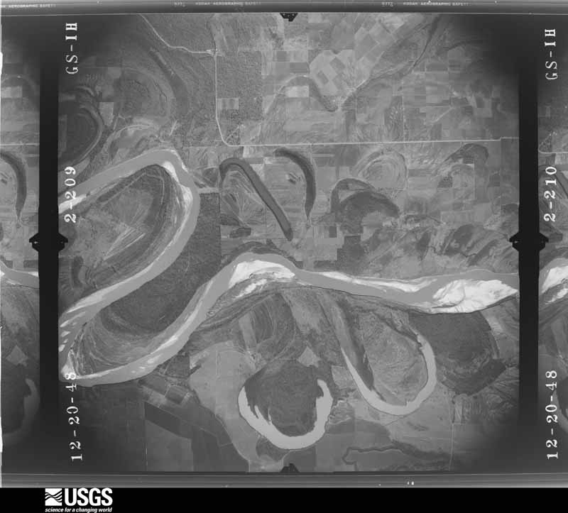
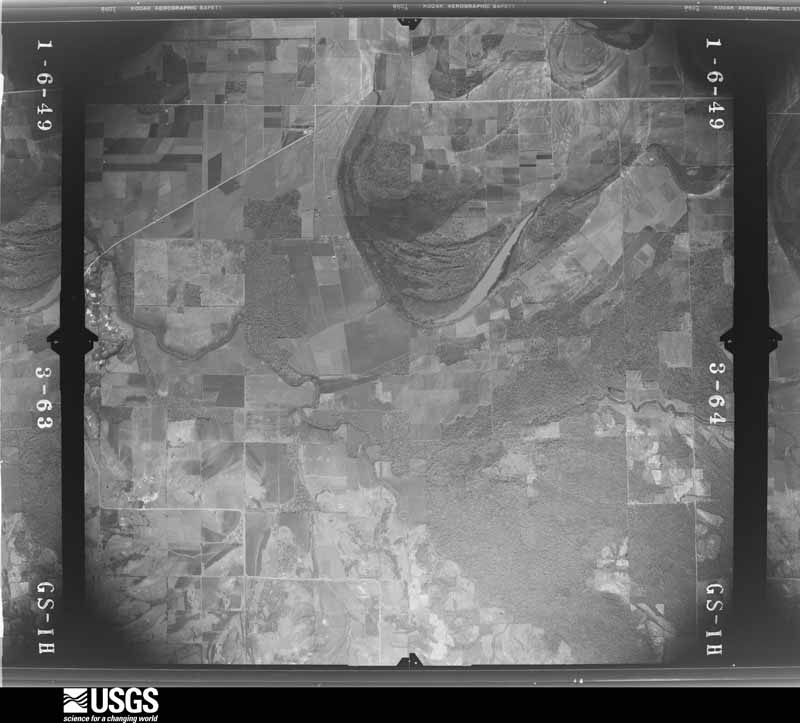
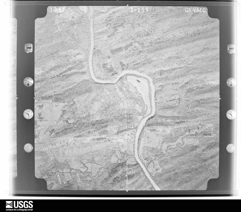
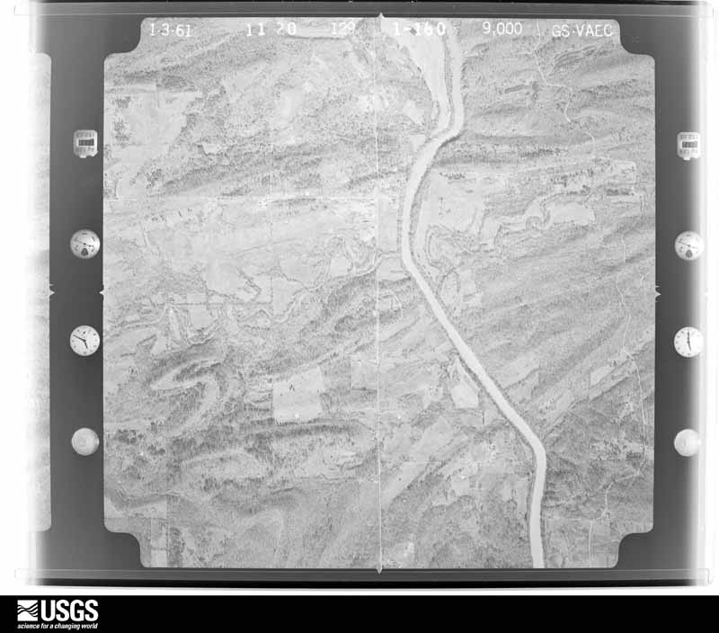
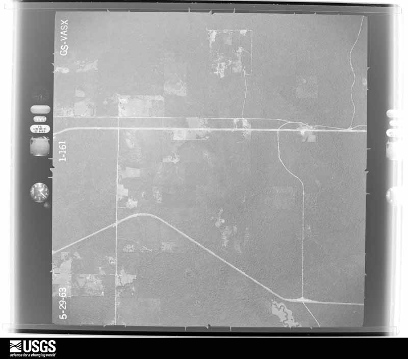
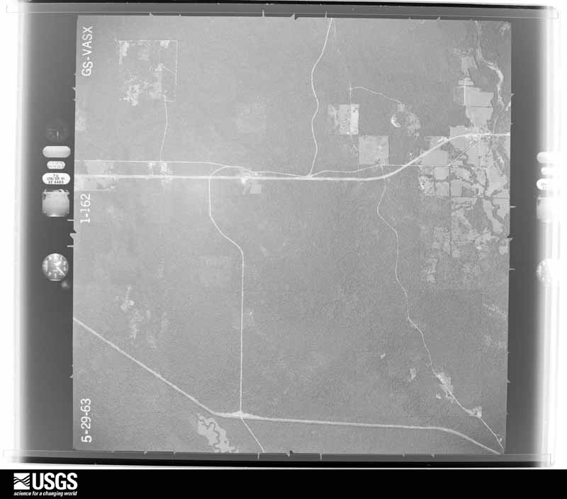
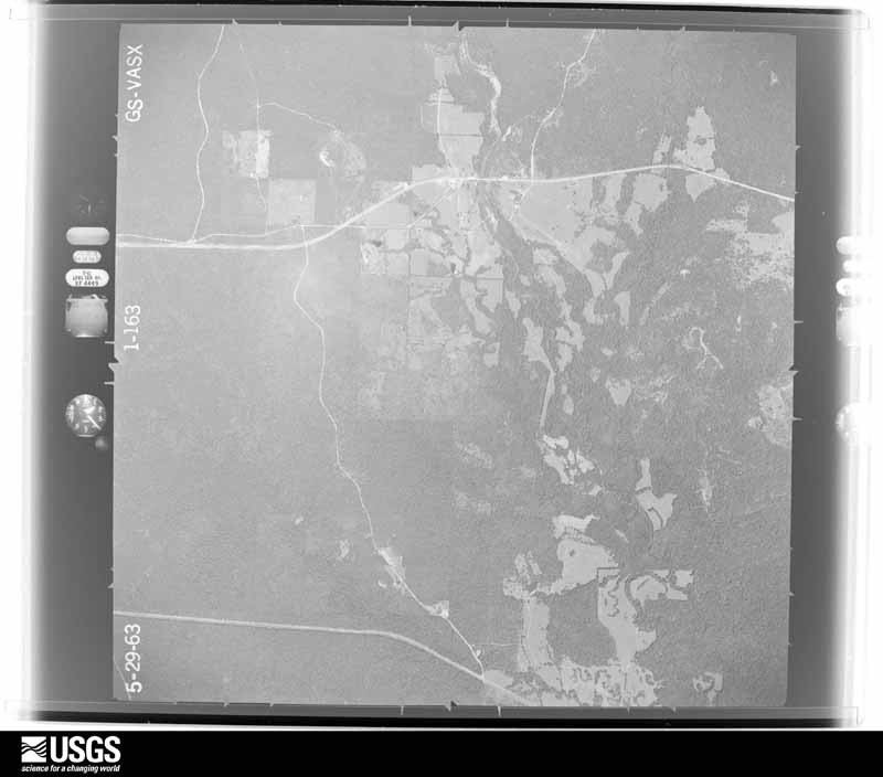
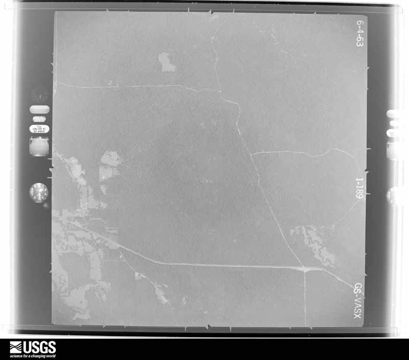
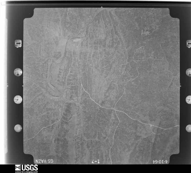
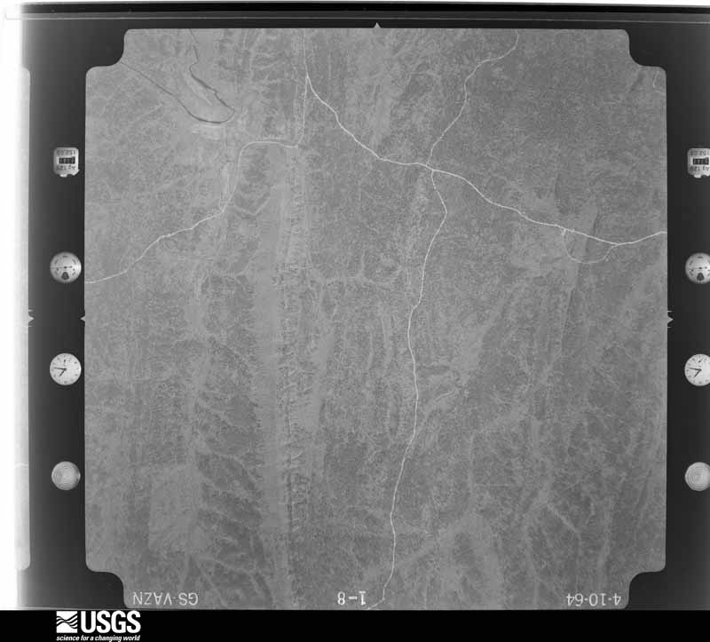
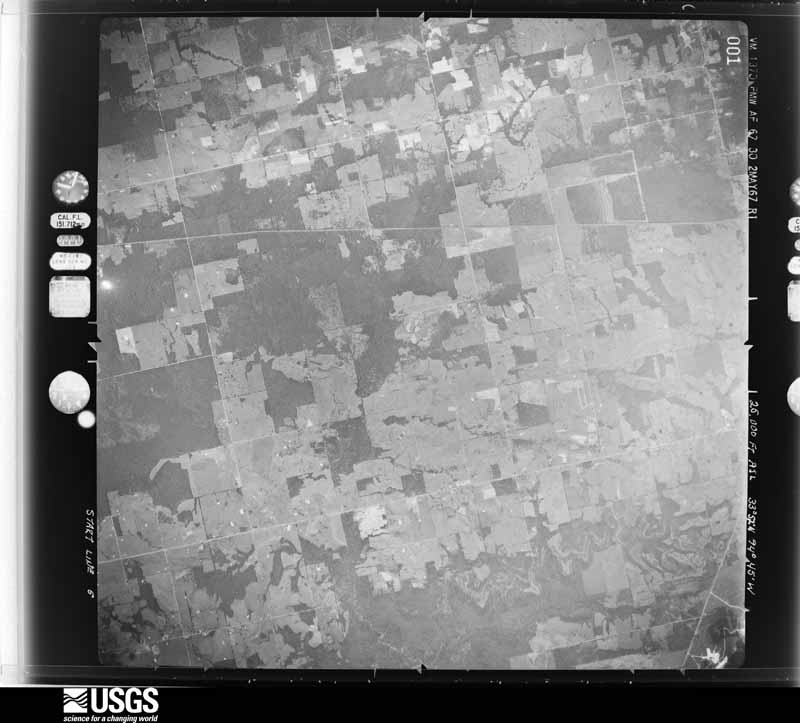
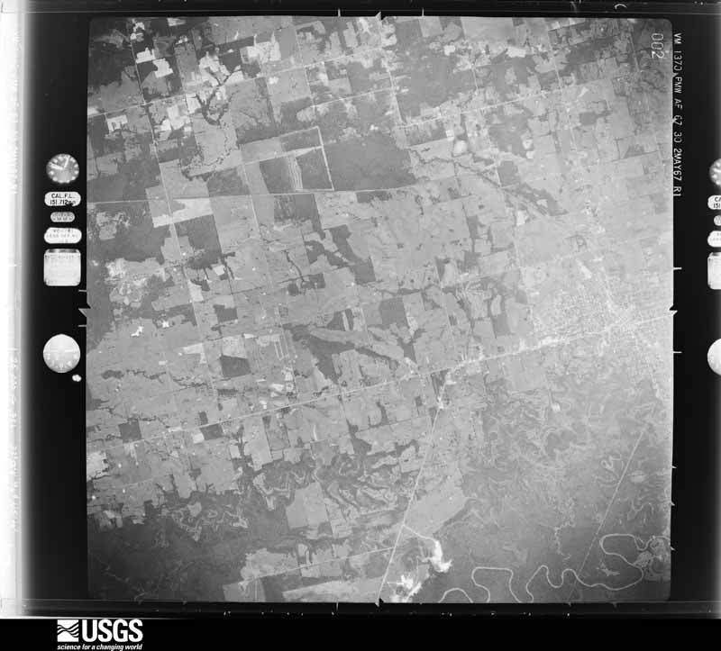
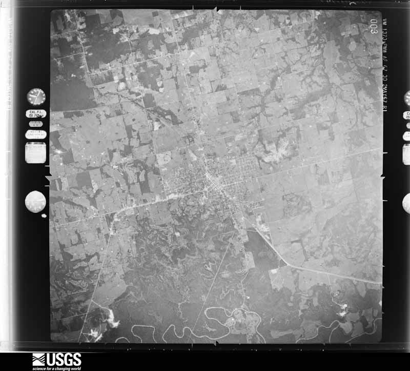
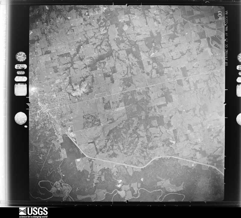
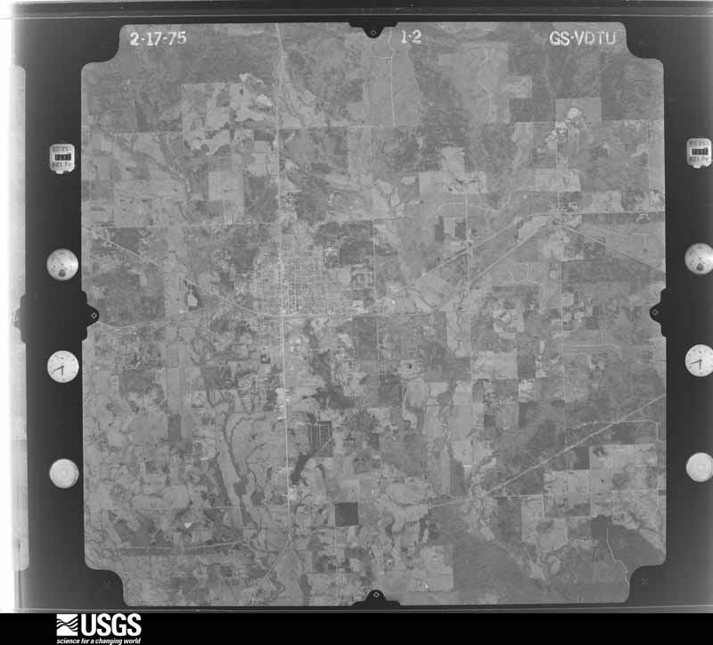
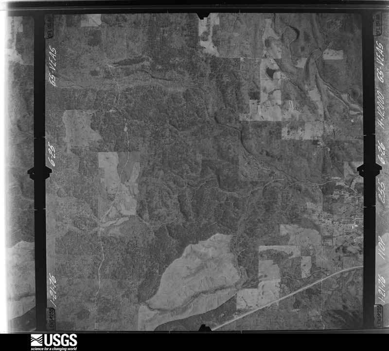
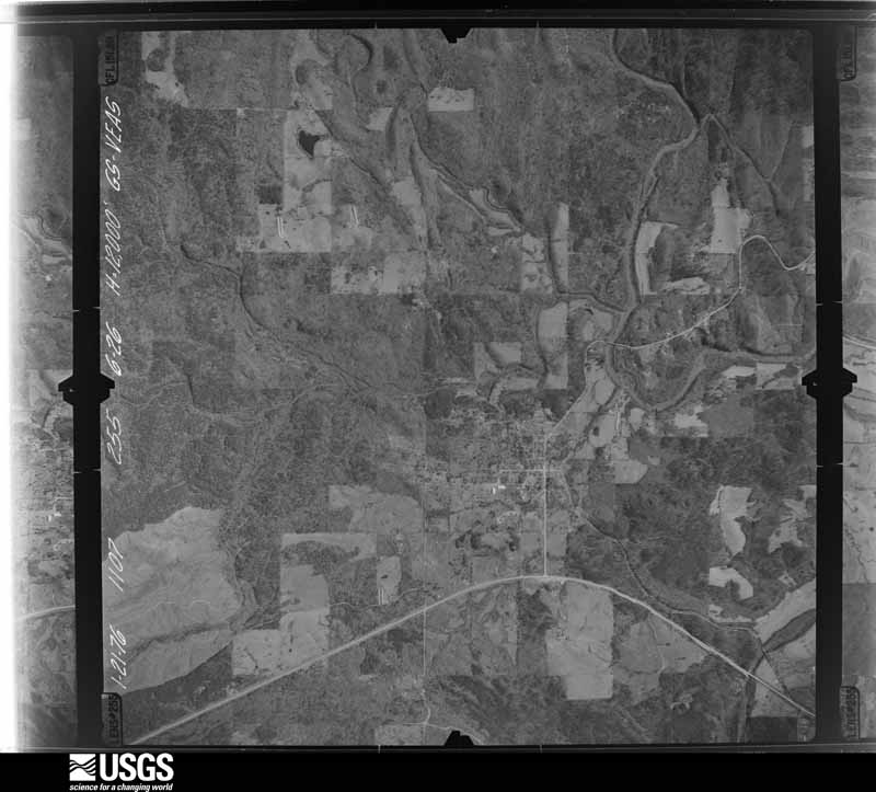
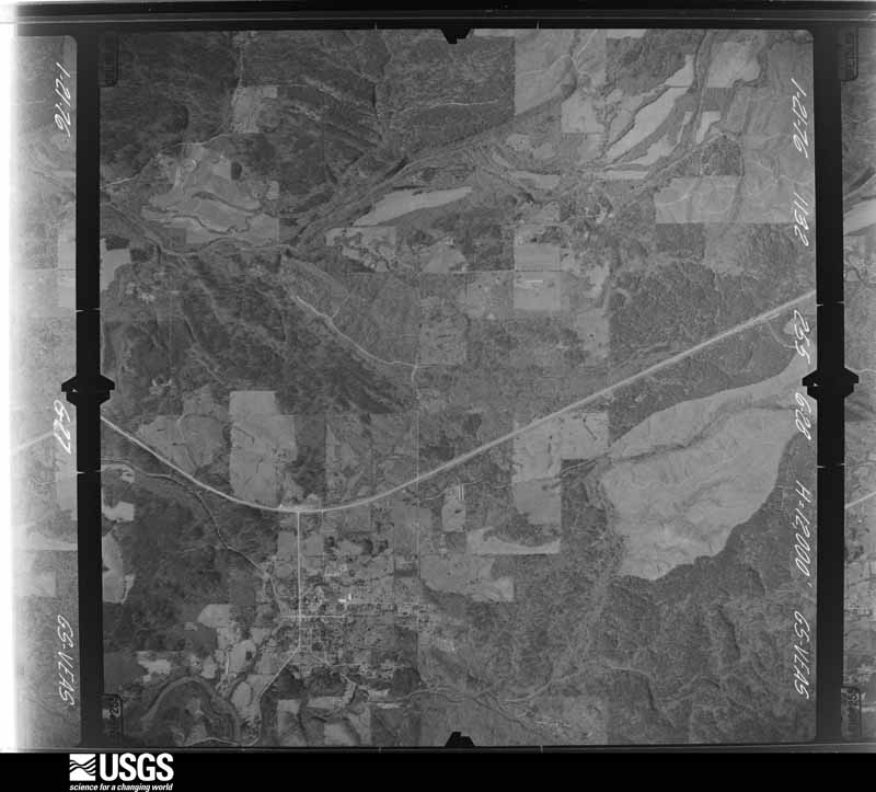
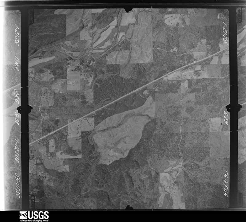
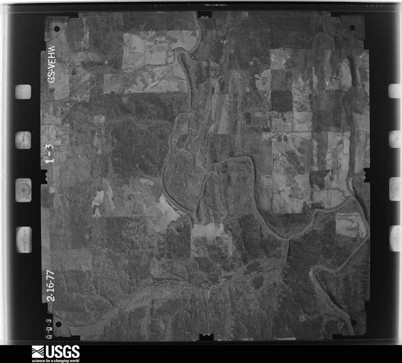
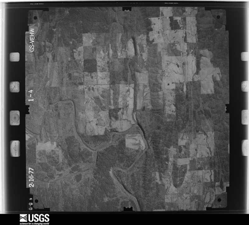
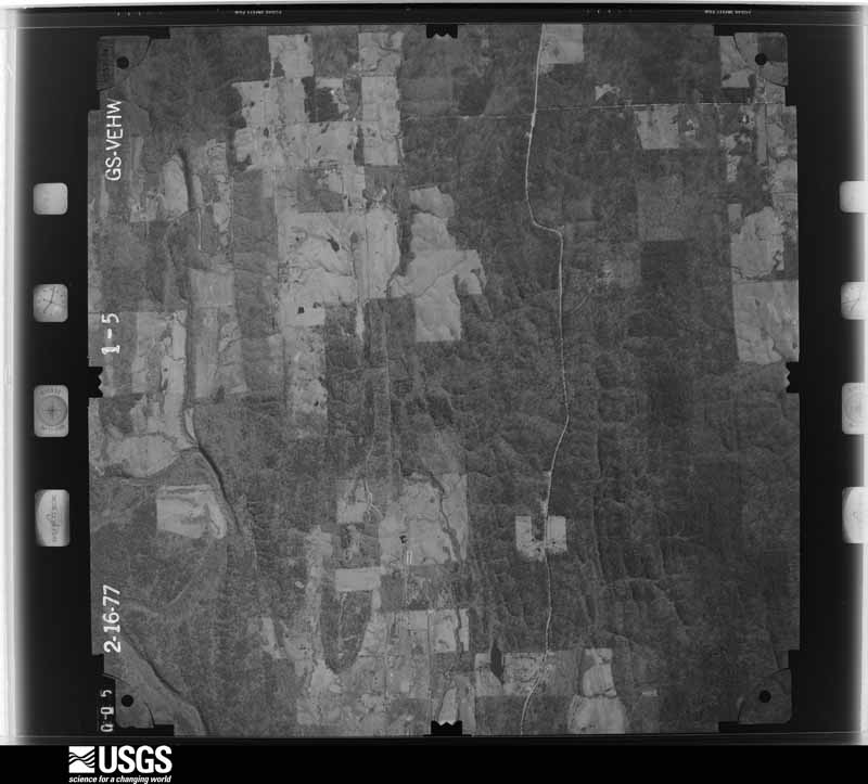
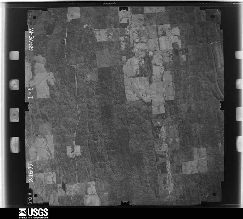
Flown by the U.S. Geological Survey between 1937 and 1989, the Aerial Photo Single Frames collection is the definitive mid-century view of the land: fields, roads and rivers as the camera saw them. The Survey holds 2,102 frames inside the rectangle that bounds this county; the 48 frames below were taken over the county itself, chosen across the decades of flights (at most four a year from that rectangle), so one flight cannot crowd out the rest. The full set is free to browse and download at EarthExplorer under the dataset Aerial Photo Single Frames.

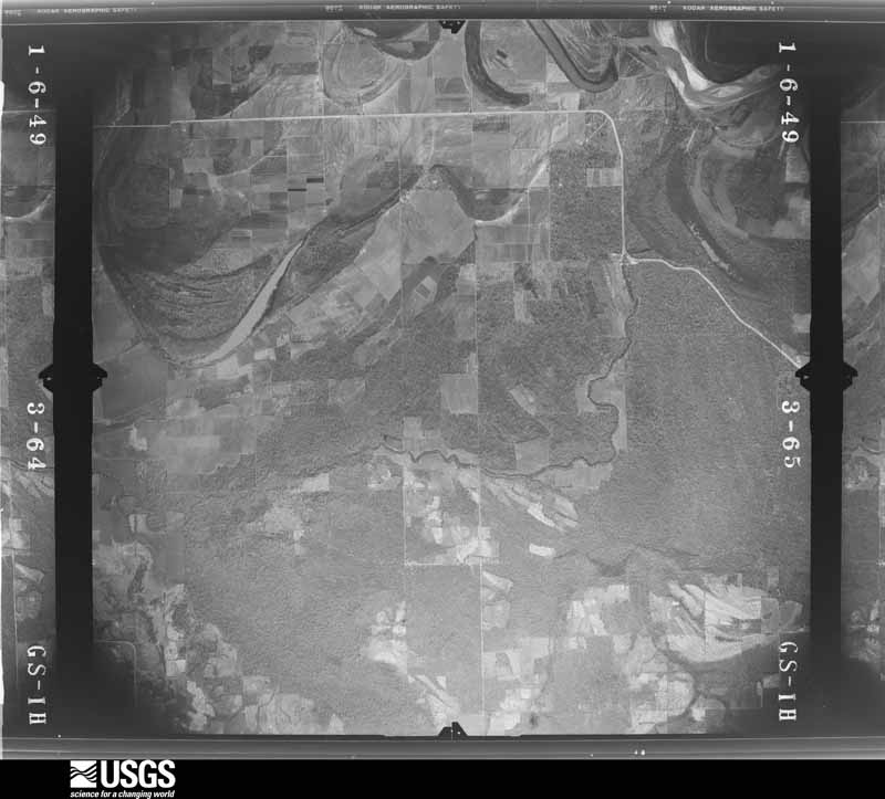
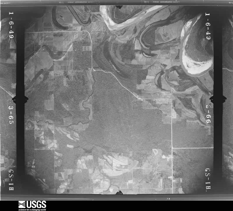
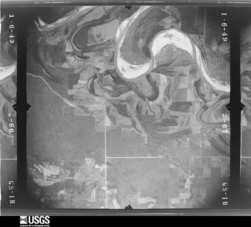








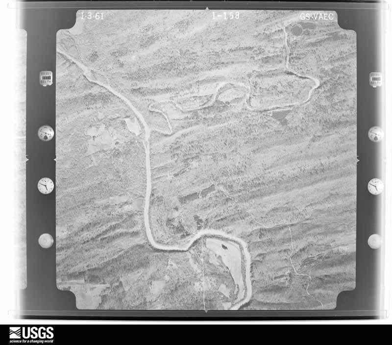












The thermometers that kept this county's weather, and the gages that measured the flow of its streams, as the federal records hold them. The extremes below are measured values from those records, not estimates.
Who lived here in 1950, one enumeration district at a time, as the Census Bureau described each district. Each row opens its official National Archives result, with Population Schedules and ED Maps available there.
Every wildfire the federal occurrence database records inside this county: 7,261 of them, burning about 95,519 acres. 323 started naturally and 3,515 were recorded as arson. Each settlement page carries the fires within five miles of it.
| Reported cause | Fires |
|---|---|
| Arson/incendiarism | 3515 |
| Missing data/not specified/undetermined | 2044 |
| Debris and open burning | 728 |
| Equipment and vehicle use | 361 |
| Natural | 323 |
| Recreation and ceremony | 111 |
| Smoking | 70 |
| Misuse of fire by a minor | 51 |
| Railroad operations and maintenance | 45 |
| Power generation/transmission/distribution | 8 |
| Fireworks | 4 |
| Other causes | 1 |
The five largest, by the area the report gives. Four of them were set deliberately.
| Date | Cause | Size | Reported by | Name on the report |
|---|---|---|---|---|
| 22 March 2007 | Debris and open burning | 9,071 acres | Ouachita National Forest | BRANTLEY CABIN |
| 1 August 1998 | Arson/incendiarism | 1,200 acres | Ouachita National Forest | HEE MTN II |
| 15 February 2016 | Missing data/not specified/undetermined | 1,162 acres | Ouachita National Forest | 5 MILE |
| 11 July 2011 | Arson/incendiarism | 1,000 acres | Oklahoma Division of Forestry | 10290 |
| 21 July 2006 | Natural | 825 acres | Ouachita National Forest | MCKAY |
| 6 March 2018 | Missing data/not specified/undetermined | 650 acres | Oklahoma Division of Forestry | not named |
| 11 November 1995 | Arson/incendiarism | 640 acres | Ouachita National Forest | not named |
| 6 April 2009 | Arson/incendiarism | 608 acres | Ouachita National Forest | TURKEY FOOT |
Every settlement page carries the fires within five miles of it - see the settlement index below.
The NOAA Storm Events Database holds 1,037 reports for this county, causing 6 deaths, 53 injuries and about $49,915,560 in recorded property damage. Each settlement page carries the reports that name it.
| Kind of event | Reports |
|---|---|
| Hail | 439 |
| Thunderstorm Wind | 394 |
| Flash Flood | 107 |
| Tornado | 71 |
| Flood | 11 |
| Funnel Cloud | 7 |
| Lightning | 4 |
| Heavy Rain | 4 |
The most serious of them, by death, then injury, then recorded damage. The accounts are quoted exactly as the forecast office filed them.
| When | Event | Place named | Harm | What the report says |
|---|---|---|---|---|
| April 1953 | Tornado (F2) | not stated | 1 killed, 14 hurt, $30 | no account filed |
| November 2022 | Tornado (EF2) | Pickens | 1 killed, 1 hurt, $300,000 | An EF-2 tornado with estimated maximum winds near 125 mph touched down in extreme Northwest McCurtain County near the Pickens community. The tornado touched down off of Pickens Road where it completed destroyed a chicken house, removed large sections of a roof of a home, and snapped multiple hardwood trees. The tornado then impacted a double-wide mobile home that was tied down with straps, which were snapped or footings pulled out of the ground. The mobile home was vaulted to the northwest and led to a fatality of a 90 year old male inside. A vehicle was also tossed and rolled at this location as well. The tornado continued moving northeast and uprooted multiple hardwood and softwood trees as it crossed Mount Zion Church Road, Glover Road, and Cedarwood Lane, before lifting near Coleman Road. |
| October 2019 | Thunderstorm Wind | Valliant | 1 killed, 1 hurt | Several large trees fell onto a mobile home west of Valliant on Sandpiper Road near the Choctaw County line. One fatality occurred at the scene when a 48 year old female was killed by a fallen tree. One injury was also reported to a male resident in the home. |
| June 2023 | Thunderstorm Wind | Hochatown | 1 killed | A tree was downed onto an RV at Beavers Bend State Park, resulting in the fatality of a female occupant inside. |
| March 2016 | Flash Flood | Holly Creek | 1 killed | A 30 year old male drowned after his SUV drove through a low water crossing and was swept into a flooded Lukfata Creek on Tebo Jones Road south of Broken Bow. A 36 year old male passenger was able to exit the vehicle and swim to shore. |
| April 2022 | Flood | Smithville | 1 killed | no account filed |
| November 2022 | Tornado (EF4) | Boss | 6 hurt, $35,000,000 | This is the continuation of the Red River County Texas EF-4 tornado. This tornado had weakened upon entering Southern McCurtain County Oklahoma, producing EF-2 damage in rural areas southwest of Idabel, ripping the roofs off of several single family homes. Shortly before entering Idabel, the outer edge of this tornado hit the Oklahoma Mesonet observing platform located about 5 miles to the southwest off of Ravens Nest Road. An anemometer located 10 meters above the platform measured a wind gust of 108 mph, with a nearby single family home sustaining roof damage where EF-2 winds estimated near 125 mph removed a large section of the roof structure with a wall collapsing on another single family home off of Osprey Road. The tornado continued on to snap several hundred trees before hitting a single family home off of Boss Road which had a wall collapse and partial roof damage that could not be rated due to trees falling into the home. More EF-2 damage was observed as the tornado approached Highway 259 when the tornado removed the roof and much of the second story off of a single family home. The two people in the home took shelter on the first floor under the stairs, preventing injury as winds estimated at 125 mph damaged the home. As the tornado moved northeast across Stone Haven Road, a Davis weather station recorded a gust of approximately 130 mph. ||Upon entering Idabel, the tornado damaged additional roofs of homes in several neighborhoods on the southeast side of town. One of the most hard hit subdivisions was Country Club Estates. None of the homes in the Country Club Estates were rated due to tree damage which resulted in much of the structural damage from trees falling into homes. Nearby at the Idabel Country Club, nearly every tree sustained damage on approximately six holes, with mostly snaps observed. There was also some debarking of trees in this area, where an EF-3 swath of damage had begun. Behind the golf course, a single family home was destroyed with most of its walls collapsed except for a small interior room. ||The tornado continued to move northeast, hitting the Kiamichi Family Medical Center where EF-2 damage (near 115 mph) was estimated due to the facade components that were torn from the structure. As the tornado approached Highway 259 and East Washington Street, it damaged the sign of a McDonald's and a swath of EF-3 winds completely destroyed the Donut Crossing and Express Tire stores. A sign from the Donut Crossing store was lofted by the tornado and carried 14.3 miles where it was found on the west side of Eagletown. After crossing East Washington Street, the tornado completely destroyed the Trinity Baptist Church. Winds at this location were estimated to be near 155 mph with the total destruction of the metal building system which was surrounded by a brick wall that collapsed with concrete anchors pulled up from the ground. The tornado moved on to produce narrow EF-2 damage in the more broader EF-1 damage swath with small vorticies likely extending down to the ground from the elevated large funnel cloud at this point. ||After moving northeast of Idabel, the tornado crossed mainly rural areas and completely destroyed chicken houses while snapping hardwood and softwood trees for approximately the next ten miles. An areal survey indicates that the tornado briefly lifted near the Little River and then touched down again in a forested area before damaging a metal structure atop a chicken plant off of Craig Road. A survey team from the National Weather Service Little Rock office found EF-2 damage with 135 mph winds between Eagletown and Broken Bow just south of Highway 70, where numerous trees and several wooden utility poles were snapped near the base near the Tyson Craig Feed Mill, a large elevator structure on top of a silo collapsed with a portion of a metal roof and walls ripped off of an adjacent metal building, and a doublewide manufactured home at the eastern end of Box Turtle Road was thrown off of its concrete pad, nearly pulling out an underground shelter, rolling over it, and landing about 30 feet to the north. Over half of the house was stripped of the undercarriage. Only about one-third of the walls/roof were left with the remainder of the structure removed and scattered well to the north. ||As the tornado crossed Highway 70 just west of Eagletown, many additional pines and hardwoods were snapped and uprooted. Nearly all utility poles within the path were also snapped or pushed over. The tornado then moved into a heavily forested area north of Eagletown with more specific damage noted from Old Winship Road to Pero Creek through the use of high-resolution satellite imagery before the tornado finally lifted a few miles before reaching the border with Northwestern Sevier County in Southwest Arkansas. ||Remarkedly, only 6 injuries and no fatalities were reported from this long track tornado throughout Southern and Eastern McCurtain County Oklahoma. In total, 220 homes were estimated to had been affected by this tornado, with 10-20 businesses damaged or destroyed. Of the total homes affected, 65 of them were destroyed. |
| April 1982 | Tornado (F5) | not stated | 4 hurt, $2,500,000 | no account filed |
| November 1985 | Tornado (F1) | not stated | 4 hurt, $250,000 | no account filed |
| February 1977 | Tornado (F2) | not stated | 4 hurt, $250,000 | no account filed |
| December 2015 | Tornado (EF2) | Valliant | 3 hurt, $2,000,000 | An NWS Storm Survey team determined that the damage west of Valliant, Oklahoma was consistent with that of tornado damage. The tornado first touched down near U.S. Hwy. 70 and traveled in a northeast direction before lifting near Tommy Taylor Road or just south of Pine Creek Reservoir. Numerous trees were uprooted and/or snapped along the damage path. Sixteen homes suffered significant damage and 4 mobile homes were completely destroyed. Two persons were injured when their mobile home was destroyed. Another person was injured when their mobile home was rolled by the tornado. |
| April 1979 | Tornado (F2) | not stated | 3 hurt, $250,000 | no account filed |
| April 2000 | Tornado (F2) | Wright City | 2 hurt, $40,000 | Numerous trees toppled and broken. Tornado was described as rope like by chasers in the area during most of its path. A house on the south side of Oak Hill was split in half from a fallen tree. The tornado moved through downtown Broken Bow and through a WalMart store. The tornado was only F0 intensity as it moved through Broken Bow and F2 near Oak Hill. |
| March 1991 | Thunderstorm Wind | not stated | 2 hurt | no account filed |
| March 2026 | Tornado (EF2) | Oak Hill | 1 hurt, $500,000 | A line of severe thunderstorms moved into McCurtain County, Oklahoma, late in the evening on March 10th. Circulations were embedded within this line of thunderstorms, with one of which producing an EF2 tornado with estimated maximum winds near 118 mph that began on Old Golden Highway, resulting in snapped trees and the loss of shingles to a local residence. The tornado then continued east, reaching Thomas Road near the intersection of Old Golden Highway where more trees were snapped and uprooted and a barn/shed experienced damage to the roof. The tornado then began to pick up in intensity as it moved across Oak Hill Road where numerous trees were snapped and uprooted. As the tornado then continued northeast towards Rhoden Road, it caused significant damage to a family residence, resulting in the collapse of most exterior walls and an injury to the occupant who had to be airlifted to the hospital. Trees were then uprooted and fell onto this residence, causing additional damage. Next door to this home, significant damage was found to other structures as well as additional tree damage. Just before reaching Rhoden Road, another residence was damaged, where areas of the roof were uplifted, multiple trees were snapped and uprooted, and the neighboring barn experienced significant roof damage. The tornado then moved north/northeast of the road, pushing a small outbuilding off of its foundation and snapping and uprooting more trees before lifting as it crossed Highway 3. |
| December 1982 | Tornado (F2) | not stated | 1 hurt, $250,000 | no account filed |
| April 1953 | Tornado (F2) | not stated | 1 hurt, $250,000 | no account filed |
| May 1974 | Tornado (F1) | not stated | 1 hurt, $25,000 | no account filed |
| October 1972 | Tornado (F2) | not stated | 1 hurt, $25,000 | no account filed |
| October 1972 | Tornado (F3) | not stated | 1 hurt, $25,000 | no account filed |
| June 2024 | Thunderstorm Wind | Hochatown | 1 hurt | Tree downed onto a home in Hochatown, injuring one occupant. |
| September 2005 | Lightning | Valliant | 1 hurt | Lightning struck a home in Valliant and a woman suffered burns to her arm. |
| April 1996 | Hail | Wright City | 1 hurt | no account filed |
| April 1982 | Tornado (F3) | not stated | $2,500,000 | no account filed |
| April 1982 | Tornado (F5) | not stated | $2,500,000 | no account filed |
| April 2020 | Tornado (EF2) | Hochatown | $300,000 | An EF-2 tornado with estimated maximum winds near 125 mph touched down in a heavily wooded area along Union Valley Road, snapping and uprooting numerous trees. The tornado moved south southeast, tossing two barges over 100 yards and lifting a large portion of the roof deck of a home, causing it to collapse. The tornado then completely destroyed a single-wide manufactured home, with the base frame of the home twisted and tossed 100 yards to the east. Further to the south, another home sustained significant roof and structural damage when large gas tanks were tossed into it. The tornado then continued to snap numerous trees along Cascade Creek Road and along Wyr 20000 Road, as well as removing roofing material from another home on Union Valley Road. The tornado continued to track southeast across a heavily wooded area before crossing into Sevier County Arkansas. |
| March 2008 | Flash Flood | North Valiant | $300,000 | Several secondary roads were flooded and under water including Highway 70. Water was reported in several homes in town. Highway 70 was closed. |
| May 2003 | Tornado (F2) | Broken Bow | $260,000 | A supercell thunderstorm moved southeast across Broken Bow, OK. Two new frame homes under construction had roofs torn off. A total of 30 to 40 wood frame homes had roof and frame damage with windows broken. One home was destroyed. Numerous trees uprooted and snapped. Several power poles blown down. |
| May 2009 | Flash Flood | Valliant | $250,000 | Numerous state highways and roads closed. A few high water rescues were made from vehicles that were washed of roadways. Water entered some homes in Valliant, Oklahoma with evacuation shelters being set up. |
| May 1984 | Tornado (F1) | not stated | $250,000 | no account filed |
| May 2003 | Thunderstorm Wind | Idabel | $200,000 | A violent thunderstorm moved rapidly southeast across McCurtain County, OK into Bowie County and Cass County, TX. This thunderstorm also produced a strong tornado in McCurtain County, OK which moved into northeast Texas and a second, stronger microburst, southeast of Maud, TX. Numerous trees were snapped and pushed over while several homes, mobile homes, tier homes, barns, garages and outbuildings were damaged. The microburst ranged from 3.2 miles long by 2.3 miles wide and was tear drop in shape. |
| June 2015 | Tornado (EF0) | Redland | $150,000 | An NWS Storm Survey across McCurtain County, Oklahoma determined that damage east of Idabel was consistent with that of a tornado. An EF0 tornado touched down in the Redland community. Ten chicken houses were damaged...one of which was completely destroyed. |
| April 2025 | Tornado (EF1) | Millerton | $100,000 | A strong EF-1 tornado with estimated maximum winds near 105 mph touched down just west of Snows Arena Road and south of Highway 70 between Millerton and Garvin, where numerous trees were snapped and uprooted as the tornado tracked towards Highway 70. Before the tornado crossed the highway, tree damage was noted near a home, with a small outbuilding appearing to have collapsed next to the home. After the tornado crossed Highway 70, it produced extensive tree damage along Quails Nest Road, and another small shed/outbuilding was also damaged along this road, with the metal roof having been blown off and carried across the street into a neighboring yard. Documentation of continued damage north-northeast of this road was difficult due to inaccessibility, but based on radar data and noted damage into the North Pole community, the track continued across the Cedar Mountains. In North Pole, very extensive tree damage was found, with numerous snaps and uproots found along Pine View Road. Here, a large tree was found to have fallen on a home. It was in this area that the tornado was expected to had been strongest, with peak winds around 105 mph. Roads were then difficult to follow north of Pine View Road, although extensive tree damage was found along Roadways 5000, 51033, and 50220 to Old Glory Mountain where trees were damaged up to the ridgeline. Roadway access was lost soon after reaching this area, but based on radar data and additional damage found along Highway 259 north of Hochatown and just south of Catfish Bay Road, the tornado track continued. Additional tree damage was found northeast of Catfish Bay Road before road access became problematic again. However, it appears the tornado lifted shortly thereafter over the mountainous terrain, with a nearly 25 mile long track while on the ground for just over 45 minutes. |
| April 2020 | Tornado (EF1) | Sherwood | $100,000 | An EF-1 tornado with estimated maximum winds near 110 mph touched down along Johnny Beavers Trail Road, snapping and uprooting numerous trees. Several RVs and vehicles were significantly damaged by the snapped and uprooted trees. The tornado then crossed the Northern sections of Broken Bow Lake, snapping and uprooting several more trees before lifting along the eastern shore of the lake. |
| May 2015 | Flash Flood | Hochatown | $100,000 | Water topped the Broken Bow Lake Dam southeast of Broken Bow Oklahoma. The water rapidly drained into the Mountain Fork River and the river quickly flowed out of its banks. The river completely surrounded a 2-story cabin, trapping 13 people inside including 3 children. First responders could not get to the occupants of the cabin due to the rapid nature of the water. The National Guard was called in to airlift the people out of the cabin. No injuries were reported. |
| November 2004 | Thunderstorm Wind | Idabel | $90,000 | THUNDERSTORM WINDS DESTROYED BARNS...OVERTURNED A TRAILER HOUSE AND DID MINOR DAMAGE TO OTHER BUILDINGS EAST OF IDABEL. |
| February 1999 | Tornado (F1) | Idabel | $60,000 | The tornado, witnessed by dozens of people, touched down on new road construction, crossed the road and slammed into the ET Dunlap Center, peeled back the roof and destroyed the interior of the school as well as mangling a satellite dish. Six parked cars were pushed sideways into each other doing little damage. The tornado then moved across the Kiamichi Technology Center damaging the building before moving across Hwy 259 destroying several signs and bending three telephone pools to a 45 degree angle. The tornado then continued into a wooded region. The tornado was described by Randy Barton, an eyewitness, as an upside down bowl which came to a point on the ground. Several eyewitness were within 15 yards of the tornado. The school administrated said there would have been numerous injuries from a collapsing roof except one instructor called in sick cancelling class for the day and other classes were scheduled for just after the event. |
| March 2024 | Tornado (EF1) | Broken Bow | $50,000 | A brief EF-1 tornado began in a wooded area approximately five miles north of Broken Bow, exhibiting a convergent pattern of tree uproots and trunk snaps. The tornado then moved across a few properties and did minor to major structural damage to two homes and major damage to a few outbuildings. A single family residence had significant roof damage. The tornado then quickly exited this area and veered more northeast through a largely inaccessible wooded area. On the southside of the Hochatown community, the tornado produced considerable roof damage at a hotel on the west side of Highway 259 and lifted just in the wake of this structure. Peak wind speeds were estimated at 100 mph with the 200-yard wide tornado only on the ground for approximately a half mile, resulting in no injuries or fatalities. |
| June 2019 | Tornado (EF1) | Haworth | $50,000 | An EF-1 tornado with maximum estimated winds near 90 mph touched down in Downtown Haworth. This tornado touched down on the west side of town near Choctaw Avenue and lifted just east of Elm Street along East 4th Street near the center of town. Most of the damage was to trees, but one uprooted tree fell on a home on West Arkansas Avenue and caused significant roof damage. |
| December 2015 | Thunderstorm Wind | Broken Bow Arpt | $50,000 | An NWS Storm Survey team determined that the damage to the northeast and east of the Broken Bow, Oklahoma Airport was consistent with that of straight line wind damage. Several trees were uprooted. Two homes were damaged by fallen trees as well as 3 vehicles. The damage was mostly concentrated near West Choctaw Street, Airport Road and near East Memorial Road. |
| September 2013 | Thunderstorm Wind | Golden | $50,000 | Thunderstorm wind gusts took the roof off a house south of Glover, Oklahoma. Trees were also downed and a barn was destroyed. |
| May 2003 | Tornado (F2) | Valliant | $50,000 | A violent thunderstorm moved rapidly southeast across McCurtain County, OK into Bowie County, TX and Cass County, TX. This thunderstorm also produced a strong Microburst in McCurtain County southeast of Idabel, OK and again southeast of Maud, TX. Numerous trees and limbs were snapped or pushed over while several large corporate and private corn fields were ripped up. The only structure in the path of this tornado was located next to the Highway 259 bridge which crosses the Red River into Bowie County, TX.. This tornado moved into Bowie and Cass Counties, TX. |
| August 2006 | Thunderstorm Wind | Glover | $40,000 | A few trees were downed in the community including one that fell across a tractor and another tree fell across a home. |
| July 1999 | Flash Flood | Watson | $40,000 | State Highway 4 was closed due to the road and a culvert being washed out. |
| November 1998 | Thunderstorm Wind | Broken Bow | $35,000 | Chicken house lifted off its foundation and destroyed. Several additional chicken houses lost their tin roofs. Numerous trees toppled |
| May 2006 | Thunderstorm Wind | Idabel | $30,000 | Some homes in town suffered roof damage from fallen limbs and from shingles being blown off. Some portable buildings were severly damaged. |
| June 1999 | Lightning | Valliant | $30,000 | Lightning hit a refrigerator inside a Valliant residence causing the compressor to explode which liliterallylew up the kitchen and living room of the house. Luckily no one was home at the time. Extensive damage also occurred from the resulting fire and smoke. |
| November 1998 | Thunderstorm Wind | Smithville | $30,000 | Numerous utility poles toppled or snapped. Numerous trees down. |
| September 2016 | Thunderstorm Wind | Ringold | $25,000 | Numerous trees were blown down along with power lines. A roof was blown off a home in the Ringgold community. |
| November 2011 | Tornado (EF1) | North Valiant | $25,000 | The tornado touched down along County Road N4440 where it snapped several trees. It continued northeast across rural areas lifting a small outbuilding off of its base on County Road D4447 and snapping additional trees and power lines along N4460 and 298. Two empty train boxcars were blown over off of the railroad tracks just before the tornado crossed US HWY. 70. The tornado continued to snap trees and limbs as it moved through forested land before lifting just southeast of the intersection of N4480 and N4490. Maximum winds were estimated at 90 mph. |
| June 2004 | Thunderstorm Wind | Broken Bow | $25,000 | Roof blown off a home in town. |
| October 1984 | Tornado (F1) | not stated | $25,000 | no account filed |
| May 1974 | Tornado (F1) | not stated | $25,000 | no account filed |
| July 1973 | Tornado (F1) | not stated | $25,000 | no account filed |
| November 1973 | Tornado (F1) | not stated | $25,000 | no account filed |
| December 1971 | Tornado (F2) | not stated | $25,000 | no account filed |
| April 1967 | Tornado (F2) | not stated | $25,000 | no account filed |
| March 1959 | Tornado (F2) | not stated | $25,000 | no account filed |
| April 1957 | Tornado (F1) | not stated | $25,000 | no account filed |
| June 2013 | Thunderstorm Wind | Broken Bow | $20,000 | Large trees were downed in Broken Bow. A roof was also blown off a home in town. |
The Survey's mineral resources record lists 67 workings inside this county. 9 still produce and 58 are closed or unrecorded. Each settlement page carries the workings within five miles of it.
| Commodity | Workings |
|---|---|
| Sand and Gravel, Construction | 41 |
| Clay | 14 |
| Manganese | 6 |
| Stone, Crushed/Broken | 6 |
The least common of them first, because a county's hundredth gravel pit says nothing its first ten did not.
| Where | Site | Commodity | Status | Recorded |
|---|---|---|---|---|
| Clebit Spring | Manganese | Occurrence | 1941 | |
| Grady Smith Trail Prospect | Manganese | Prospect | 1941 | |
| Hochatown Prospect | Manganese | Prospect | 1941 | |
| Idabel Plant | Stone, Crushed/Broken | Producer | ||
| Pine Mountain Prospect | Manganese | Past Producer | 1916 | |
| Quality Rocks Inc Limestone Pit | Stone, Crushed/Broken | Producer | ||
| Unknown Limestone Pit | Stone, Crushed/Broken | Past Producer | ||
| Unknown Limestone Pit | Stone, Crushed/Broken | Past Producer | ||
| Unknown Limestone Pit | Stone, Crushed/Broken | Past Producer | ||
| Unknown Limestone Pit | Stone, Crushed/Broken | Past Producer | ||
| Unnamed Prospect | Manganese | Occurrence | 1941 | |
| Unnamed Prospect | Manganese | Prospect | 1941 | |
| Unknown Clay Pit | Clay | Past Producer | ||
| Unknown Clay Pit | Clay | Past Producer | ||
| Unknown Clay Pit | Clay | Past Producer | ||
| Unknown Clay Pit | Clay | Past Producer | ||
| Unknown Clay Pit | Clay | Past Producer | ||
| Unknown Shale Pit | Clay | Past Producer | ||
| Unknown Shale Pit | Clay | Past Producer | ||
| Unknown Shale Pit | Clay | Past Producer | ||
| Unknown Shale Pit | Clay | Past Producer | ||
| Unknown Shale Pit | Clay | Past Producer | ||
| Unknown Shale Pit | Clay | Past Producer | ||
| Unknown Shale Pit | Clay | Past Producer | ||
| Unknown Shale Pit | Clay | Past Producer | ||
| Weyerhauser Co Shale Pit | Clay | Producer | ||
| Anderson Dunham Gravel Pit | Sand and Gravel, Construction | Producer | ||
| B & B Sand & Gravel Gravel Pit | Sand and Gravel, Construction | Producer | ||
| County Gravel Pit | Sand and Gravel, Construction | Producer | ||
| Red River Materials Gravel Pit | Sand and Gravel, Construction | Producer | ||
| Stiles Pit | Sand and Gravel, Construction | Producer | ||
| Unknown Gravel Pit | Sand and Gravel, Construction | Past Producer | ||
| Unknown Gravel Pit | Sand and Gravel, Construction | Past Producer | ||
| Unknown Gravel Pit | Sand and Gravel, Construction | Past Producer | ||
| Unknown Gravel Pit | Sand and Gravel, Construction | Past Producer | ||
| Unknown Gravel Pit | Sand and Gravel, Construction | Past Producer | ||
| Unknown Gravel Pit | Sand and Gravel, Construction | Past Producer | ||
| Unknown Gravel Pit | Sand and Gravel, Construction | Past Producer | ||
| Unknown Gravel Pit | Sand and Gravel, Construction | Past Producer | ||
| Unknown Gravel Pit | Sand and Gravel, Construction | Past Producer | ||
| Unknown Gravel Pit | Sand and Gravel, Construction | Past Producer | ||
| Unknown Gravel Pit | Sand and Gravel, Construction | Past Producer | ||
| Unknown Gravel Pit | Sand and Gravel, Construction | Producer | ||
| Unknown Gravel Pit | Sand and Gravel, Construction | Past Producer | ||
| Unknown Gravel Pit | Sand and Gravel, Construction | Past Producer | ||
| Unknown Gravel Pit | Sand and Gravel, Construction | Past Producer | ||
| Unknown Gravel Pit | Sand and Gravel, Construction | Past Producer | ||
| Unknown Gravel Pit | Sand and Gravel, Construction | Past Producer | ||
| Unknown Gravel Pit | Sand and Gravel, Construction | Past Producer | ||
| Unknown Gravel Pit | Sand and Gravel, Construction | Past Producer | ||
| Unknown Gravel Pit | Sand and Gravel, Construction | Past Producer | ||
| Unknown Gravel Pit | Sand and Gravel, Construction | Past Producer | ||
| Unknown Gravel Pit | Sand and Gravel, Construction | Past Producer | ||
| Unknown Gravel Pit | Sand and Gravel, Construction | Past Producer | ||
| Unknown Gravel Pit | Sand and Gravel, Construction | Past Producer | ||
| Unknown Gravel Pit | Sand and Gravel, Construction | Past Producer | ||
| Unknown Gravel Pit | Sand and Gravel, Construction | Past Producer | ||
| Unknown Gravel Pit | Sand and Gravel, Construction | Past Producer | ||
| Unknown Gravel Pit | Sand and Gravel, Construction | Past Producer | ||
| Unknown Gravel Pit | Sand and Gravel, Construction | Past Producer | ||
| Unknown Gravel Pit | Sand and Gravel, Construction | Past Producer | ||
| Unknown Gravel Pit | Sand and Gravel, Construction | Past Producer | ||
| Unknown Gravel Pit | Sand and Gravel, Construction | Past Producer | ||
| Unknown Gravel Pit | Sand and Gravel, Construction | Past Producer | ||
| Unknown Gravel Pit | Sand and Gravel, Construction | Past Producer | ||
| Unknown Sand Pit | Sand and Gravel, Construction | Past Producer | ||
| Unknown Sand Pit | Sand and Gravel, Construction | Past Producer |
Named settlements recorded in the Geographic Names Information System, each with the topographic sheets covering it. Villages, hamlets and abandoned places alike. Each is shown with the nearest named watercourse or landform and the survey quadrangle it falls on. The 4 places that were also surveyed for fire insurance come first, with the number of atlases and photographs held for them.
Broken Bow census division · 74728 · Broken Bow quadrangle
17 sheets, 1902 to 1986
Fire insurance: 3 atlases
Idabel census division · 74736 · Garvin quadrangle
9 sheets, 1951 to 1990
Fire insurance: 2 atlases
Idabel census division · 74745 · Idabel quadrangle
12 sheets, 1950 to 1990
Fire insurance: 5 atlases
Valliant census division · 74764 · Wright City quadrangle
17 sheets, 1901 to 1985
Fire insurance: 3 atlases
North McCurtain census division · 74722 · On Silver Creek · Battiest quadrangle
19 sheets, 1902 to 1986
Broken Bow census division · 74734 · Eagletown quadrangle
16 sheets, 1902 to 1986
North McCurtain census division · 74728 · On Watson Branch · Clebit quadrangle
15 sheets, 1901 to 1985
Valliant census division · 74764 · On Little White Oak Creek · Wright City quadrangle
17 sheets, 1901 to 1985
No longer a settlement
Broken Bow census division · 74734 · On Ponka Bok Creek · Goodwater quadrangle
10 sheets, 1950 to 1990
No longer a settlement
Broken Bow census division · 74734 · On Lick Creek · Eagletown quadrangle
16 sheets, 1902 to 1986
Valliant census division · 74736 · Near Whitegrass Flats · Millerton quadrangle
9 sheets, 1951 to 1991
Valliant census division · 74764 · On Little White Oak Creek · Wright City quadrangle
17 sheets, 1901 to 1985
Broken Bow census division · 74728 · On Benningfield Creek · Golden quadrangle
15 sheets, 1902 to 1986
Southeast McCurtain census division · 74740 · De Kalb NW quadrangle
10 sheets, 1950 to 1990
Southeast McCurtain census division · 74740 · Goodwater quadrangle
10 sheets, 1950 to 1990
Broken Bow census division · 74728 · On Stephens Gap Branch · Old Glory Mountain quadrangle
15 sheets, 1902 to 1986
Idabel census division · 74736 · On Garvin Creek · Garvin quadrangle
9 sheets, 1951 to 1990
Broken Bow census division · 74728 · Shults quadrangle
11 sheets, 1950 to 1990
No longer a settlement
North McCurtain census division · 74728 · On Little Pine Creek · Bethel quadrangle
19 sheets, 1902 to 1986
North McCurtain census division · 74957 · On Roosevelt Creek · Smithville quadrangle
16 sheets, 1902 to 1986
Broken Bow census division · 74728 · On Gibbs Creek · Golden quadrangle
15 sheets, 1902 to 1986
North McCurtain census division · 74728 · On Watson Branch · Clebit quadrangle
15 sheets, 1901 to 1985
Southeast McCurtain census division · 74740 · Haworth quadrangle
10 sheets, 1950 to 1990
Southeast McCurtain census division · 74740 · Goodwater quadrangle
10 sheets, 1950 to 1990
North McCurtain census division · 74957 · On Hurricane Creek · Smithville quadrangle
16 sheets, 1902 to 1986
Broken Bow census division · 74728 · Steel Junction quadrangle
15 sheets, 1902 to 1986
North McCurtain census division · 74728 · On Stephens Creek · Stephens Gap quadrangle
16 sheets, 1902 to 1986
Broken Bow census division · 74728 · On Cooper Creek · Broken Bow quadrangle
17 sheets, 1902 to 1986
North McCurtain census division · 74963 · On Mud Lick Creek · Watson quadrangle
16 sheets, 1902 to 1986
Wright City census division · 74766 · On Horse Head Creek · Wright City quadrangle
17 sheets, 1901 to 1985
The vanished settlements of McCurtain County: the places named above that are no longer on the map.
12 topographic sheets and 5 fire insurance atlases, 1911 to 1943
17 topographic sheets and 3 fire insurance atlases, 1921 to 1930
17 topographic sheets and 3 fire insurance atlases, 1916 to 1930