 Block
Tabler, Oklahoma
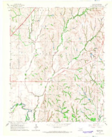
13 topographic sheets cover this place, the earliest surveyed in 1904 and the latest in 1985. It lies in ZIP code area 73018. It stands on Spring Creek. The Survey maps it on the Tabler quadrangle.
Topographic sheets covering this place
6 surveys from 13 printed sheetsMatched by testing this settlement's coordinate against the published boundary of every sheet in the United States Geological Survey's historical collection. Each opens the scanned sheet at the Survey.
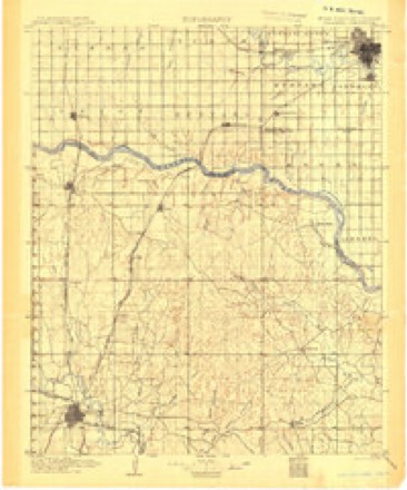
- 1904 USGS Chickasha quadrangle1:125000, 4 printings
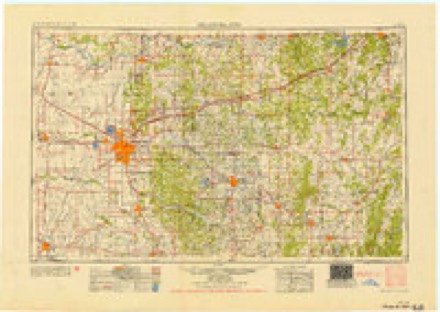
- 1954 USGS Oklahoma City quadrangle1:250000
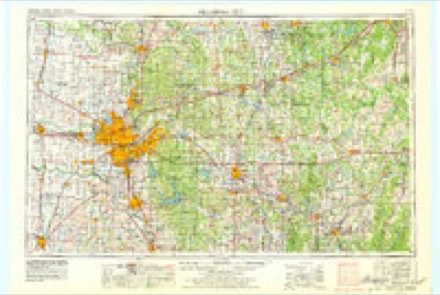
- 1957 USGS Oklahoma City quadrangle1:250000, 3 printings
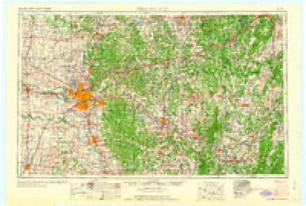
- 1963 USGS Oklahoma City quadrangle1:250000
- 1966 USGS Tabler quadrangle1:24000, 2 printings
- 1985 USGS Oklahoma City South quadrangle1:100000, 2 printings
Fires near this place
2 since 1992Regional context, not property-specific evidence. The federal wildfire occurrence database lists 2 fires within 5 miles of Tabler between 1992 and 2008, burning about 25 acres in total. None started naturally. 1 was recorded as arson. Distance is straight-line from the map coordinates, so a fire counted here may appear on a neighbouring settlement's page as well.
| Reported cause | Fires |
|---|---|
| Missing data/not specified/undetermined | 1 |
| Arson/incendiarism | 1 |
The most recent of them, most recent first, with the day each was reported and the service that recorded it.
| Date | Cause | Size | Reported by | Name on the report |
|---|---|---|---|---|
| 4 September 1992 | Missing data/not specified/undetermined | 20 acres | Chickasaw Agency | BUREAU |
| 26 January 2008 | Arson/incendiarism | 5.0 acres | Chickasaw Agency | FINALLY |
Settlements close enough to share some of these fires:
Mines and quarries near this place
10 of 21 shownRegional context, not property-specific evidence. The federal mineral resources record lists 21 workings within 5 miles of Tabler: 21 past producers. None of them still produces. What was taken out: Sand and Gravel, Construction. Distance is straight-line from the map coordinates, so a quarry counted here may appear on a neighbouring settlement's page as well.
| Where | Site | Commodity | Status | Recorded |
|---|---|---|---|---|
| Unknown Gravel Pit | Sand and Gravel, Construction | Past Producer | ||
| Unknown Gravel Pit | Sand and Gravel, Construction | Past Producer | ||
| Unknown Gravel Pit | Sand and Gravel, Construction | Past Producer | ||
| Unknown Gravel Pit | Sand and Gravel, Construction | Past Producer | ||
| Unknown Gravel Pit | Sand and Gravel, Construction | Past Producer | ||
| Unknown Gravel Pit | Sand and Gravel, Construction | Past Producer | ||
| Unknown Gravel Pit | Sand and Gravel, Construction | Past Producer | ||
| Unknown Gravel Pit | Sand and Gravel, Construction | Past Producer | ||
| Unknown Gravel Pit | Sand and Gravel, Construction | Past Producer | ||
| Unknown Gravel Pit | Sand and Gravel, Construction | Past Producer |
Storms near this place
29 since 1997Regional context, not property-specific evidence. The National Weather Service names Tabler in 29 storm reports between 1997 and 2025: 24 hail, 4 thunderstorm wind, 1 tornado. The reports record 1 injury. Each account below is quoted exactly as the forecast office filed it, from the NOAA Storm Events Database, and each date opens the federal record of that event.
| When | Event | Place named | Harm | What the report says |
|---|---|---|---|---|
| March 1998 | Thunderstorm Wind | Tabler | 1 hurt, $60,000 | Severe thunderstorm winds completely destroyed a mobile home east of Tabler. An infant that was in the trailer sustained a serious head injury, and was treated at a local hospital. The other 4 occupants received only minor scrapes and bruises. A neighboring trailer home was blown 18 inches east and siding was blown off a third mobile home. |
| May 1997 | Tornado (F1) | Tabler | $24,000 | This description, with very minimal editing, was taken from a damage survey conducted by a National Weather Service meteorologist on Monday May 26th (Memorial Day), the day after the tornado occurred.This tornado, rated F1, began 3 miles northeast of Tabler at 15:14 CST and tracked just south of due east for about 2.5 miles before dissipating 2.5 miles south-southwest of Middleberg at 15:24 CST. The maximum width of the damage path was 75 yards. Structural damage was confined to a dairy farm near the beginning of the track; otherwise, this tornado remained over mostly open country.Spotter observations and corresponding video confirm that the first tornado formed rapidly west of State Highway 9 at 15:14 CST, in mostly open country between Tabler and Middleberg. Survey results located the first signs of damage to trees just west of the Mid-Am Dairy Farm (or R & S Dairy), located 3 miles northeast of Tabler. More than a dozen trees lost large branches near and west of the dairy. At the dairy itself, a mobile home was destroyed, power lines were downed, and two metal outbuildings suffered heavy damage to roofs and walls. Metal grain silos also were damaged. Considering the construction of the outbuildings and the large piles of hay bales near the mobile home that were relatively unaffected, damage in this area was rated F1. The maximum path width of about 75 yards, based on visible damage and on video, was estimated to be in this area. Observations and video indicate that the tornado then proceeded eastward and eventually east-southeastward, narrowing to a thin, mostly vertical rope funnel that underwent several cycles of lifting and returning to ground contact. However, the circulation was likely in contact with the ground the entire time. The funnel crossed Highway 9 around 15:22 CST 2.5 miles southwest of Middleberg, where several trees lost large branches and a road sign was damaged. Between the dairy and this point, the tornado track was inaccessible. Although the funnel lifted from the ground shortly after crossing the highway, video confirms that a tight, small circulation with ground condensation persisted, crossing an open field southeast of the road. This rotation at the ground lasted about another two minutes before dissipating at about 15:24 CST. Since the tornado passed over open country, no further damage was found. |
| May 1997 | Thunderstorm Wind | Tabler | $10,000 | The roof was blown off a mobile home by severe thunderstorm winds. |
| April 2025 | Hail | Tabler | - | The report was relayed through mPING. |
| April 2025 | Hail | Tabler | - | The report was relayed through mPING. |
| July 2024 | Thunderstorm Wind | Tabler | - | Tree blown down, blocking a portion of County Street 2940. Time is radar estimated. |
| May 2015 | Hail | Tabler | - | NSSL shave report. No damage. |
| June 2011 | Hail | Tabler | - | The hail occurred 8 miles east of Chickasha. |
| March 2009 | Hail | Tabler | - | Quarter to golf ball size hail was reported on Highway 62. |
| April 2023 | Hail | Tabler | - | no account filed |
| April 2021 | Hail | Tabler | - | no account filed |
| October 2017 | Hail | Tabler | - | no account filed |
| May 2015 | Hail | Tabler | - | no account filed |
| March 2013 | Hail | Tabler | - | no account filed |
| April 2013 | Hail | Tabler | - | no account filed |
| May 2012 | Hail | Tabler | - | no account filed |
| May 2010 | Hail | Tabler | - | no account filed |
| February 2009 | Hail | Tabler | - | no account filed |
| November 2008 | Hail | Tabler | - | no account filed |
| November 2008 | Thunderstorm Wind | Tabler | - | no account filed |
| August 2008 | Hail | Tabler | - | no account filed |
| April 2007 | Hail | Tabler | - | no account filed |
| June 2007 | Hail | Tabler | - | no account filed |
| April 2007 | Hail | Tabler | - | no account filed |
| April 2006 | Hail | Tabler | - | no account filed |
| June 2006 | Hail | Tabler | - | no account filed |
| April 2004 | Hail | Tabler | - | no account filed |
| April 1999 | Hail | Tabler | - | no account filed |
| April 1999 | Hail | Tabler | - | no account filed |
Nearest settlements
The eight closest, with where each one stands in the county. Distances are straight-line, computed from the Geographic Names Information System coordinates.
Provenance
This settlement is recorded in the Geographic Names Information System as feature 1100871. The sheet list is computed by point-in-boundary test against the United States Geological Survey's historical topographic inventory. Both are works of the United States government and carry no copyright under 17 U.S.C. 105.
Wildfire. Short, Karen C. 2022. Spatial wildfire occurrence data for the United States, 1992-2020 [FPA_FOD_20221014]. 6th Edition. Fort Collins, CO: Forest Service Research Data Archive. https://doi.org/10.2737/RDS-2013-0009.6 Collected with United States Government funding and usable without additional permissions or fees.
Mines and quarries. USGS Mineral Resources Data System (MRDS) https://mrdata.usgs.gov/mrds/ A work of the United States government, no copyright under 17 U.S.C. 105.
Storms. NOAA National Centers for Environmental Information, Storm Events Database https://www.ncei.noaa.gov/stormevents/ A work of the United States government, no copyright under 17 U.S.C. 105. Narratives are quoted verbatim from the National Weather Service report and are not edited or summarised.