 Block
From the record
12 National Register listings published here.
Sources: the National Register database, National Park Service
86 topographic sheets and 41 fire insurance atlases across 7 places.
12 National Register listings published here.
Sources: the National Register database, National Park Service
Taken for the Office of War Information and the Farm Security Administration, who photographed the country between 1935 and 1944. Works of United States government photographers, with no known restriction on use. Each opens its catalogue record.
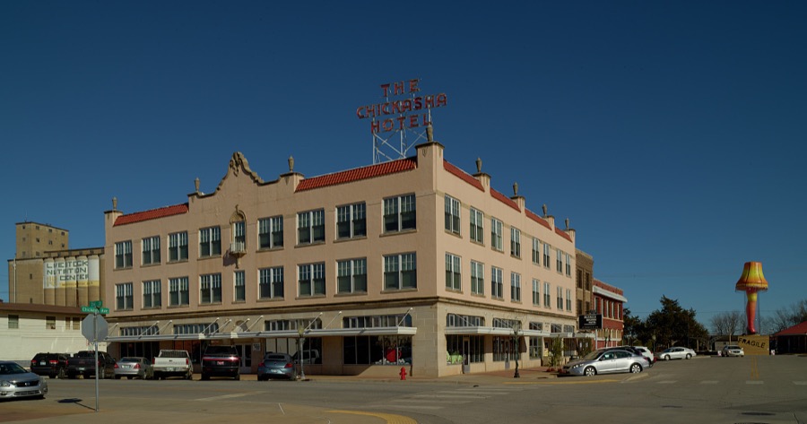
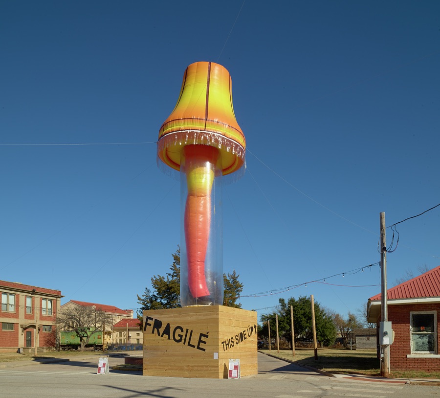
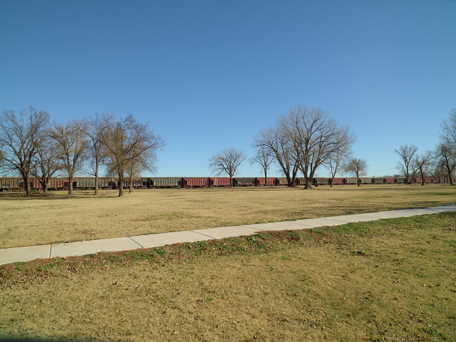
Every property in this county listed on the National Register of Historic Places, with the year it was listed and the federal nomination document.
| Photograph | Property | Type | Listed | Reference |
|---|---|---|---|---|
| Chickasha Downtown Historic District | district | 2005 | 05000132 | |
 | Grady County Courthouse | building | 2005 | 05000131 |
| Griffin House | building | 2014 | 14000297 | |
| Knippelmeir Farmstead | district | 2011 | 11000638 | |
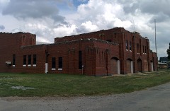 | Minco Armory | building | 1994 | 94000484 |
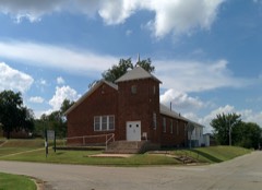 | New Hope Baptist Church | building | 2003 | 03000515 |
 | Oklahoma College for Women Historic District | district | 2001 | 01000950 |
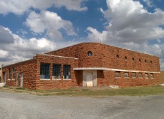 | Pocasset Gymnasium | building | 1996 | 96001489 |
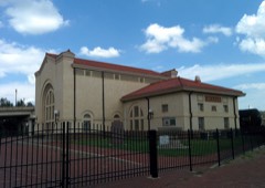 | Rock Island Depot | building | 1985 | 85000699 |
| Silver City Cemetery | site | 2008 | 08001149 | |
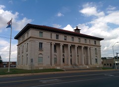 | US Post Office and Federal Courthouse | building | 1994 | 94001509 |
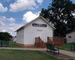 | Verden Separate School | building | 2005 | 05001416 |
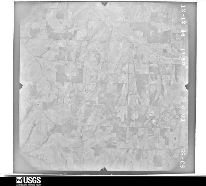
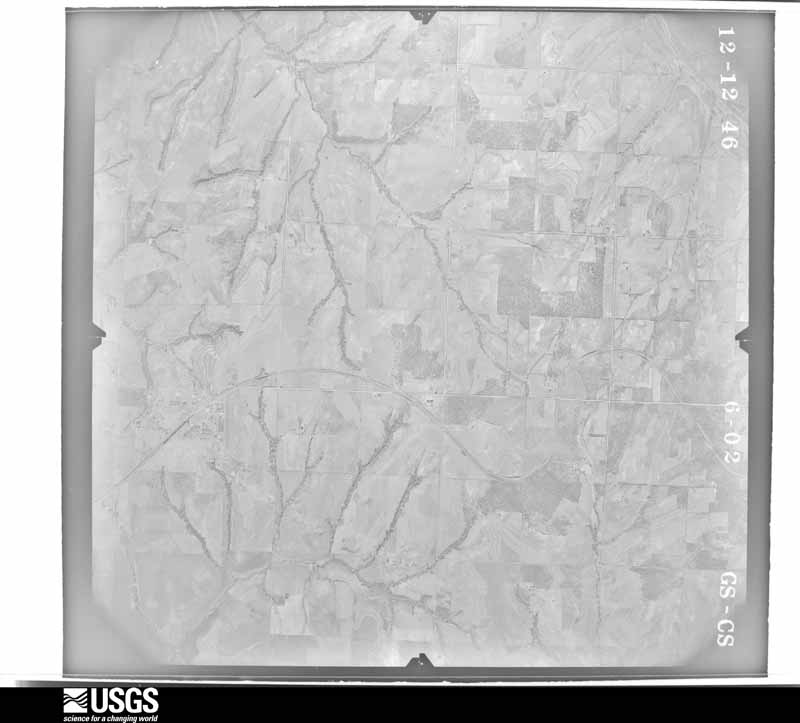
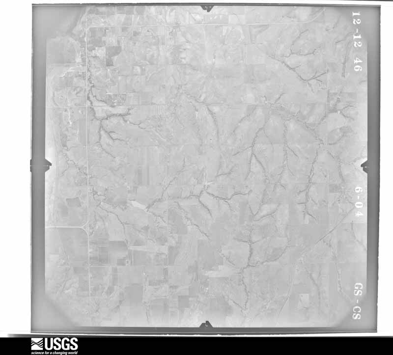
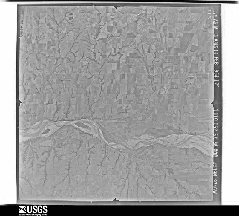
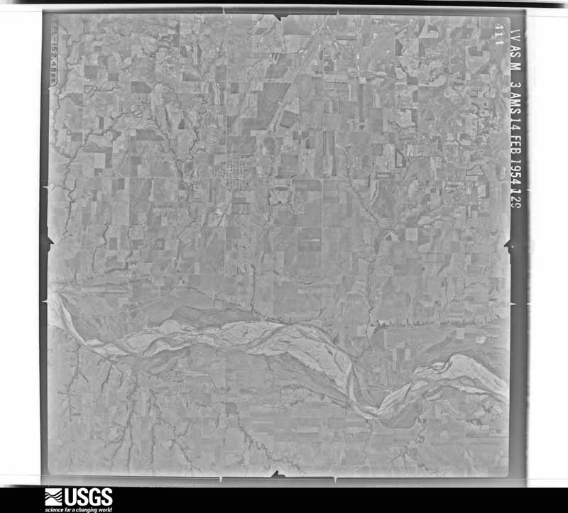
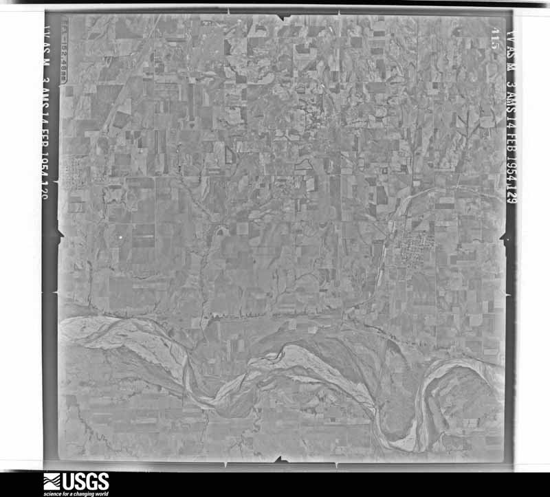
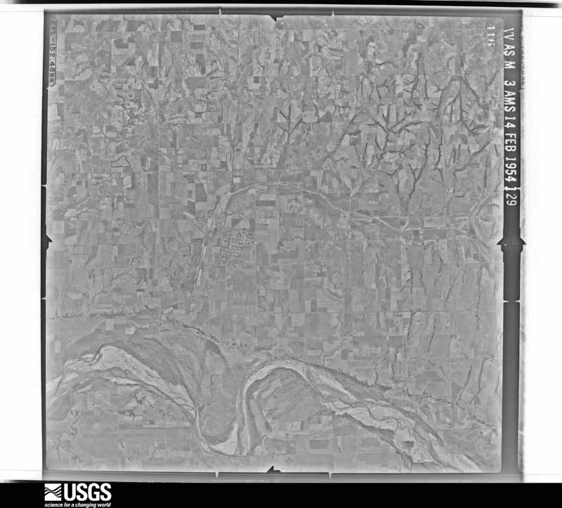
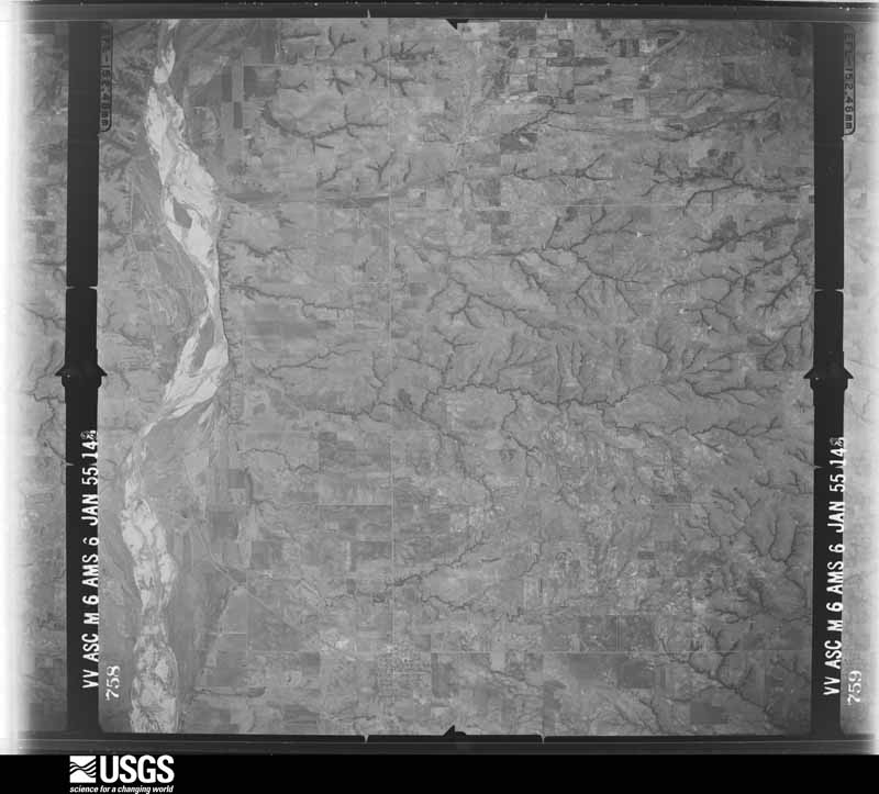
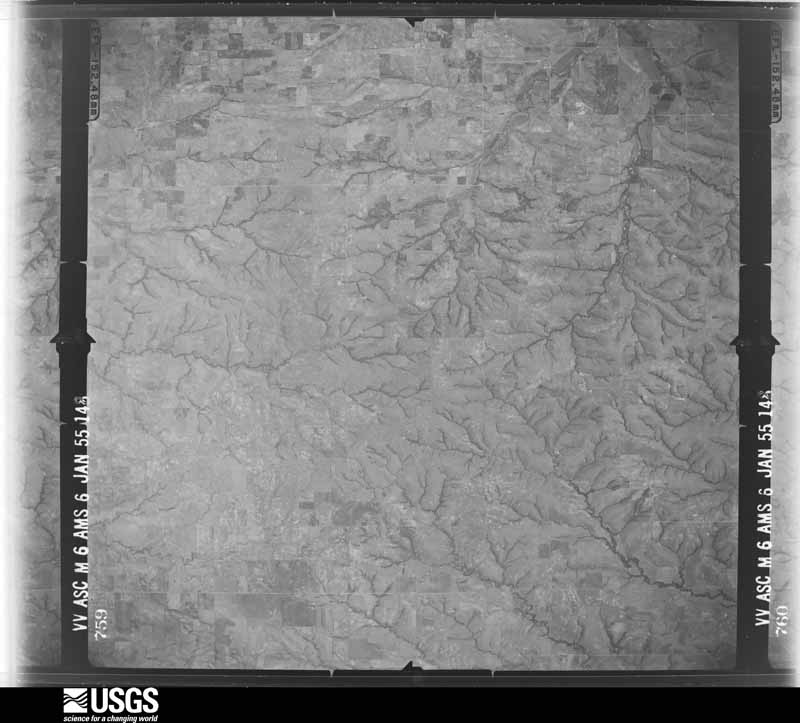
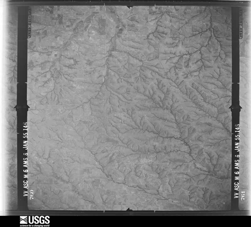
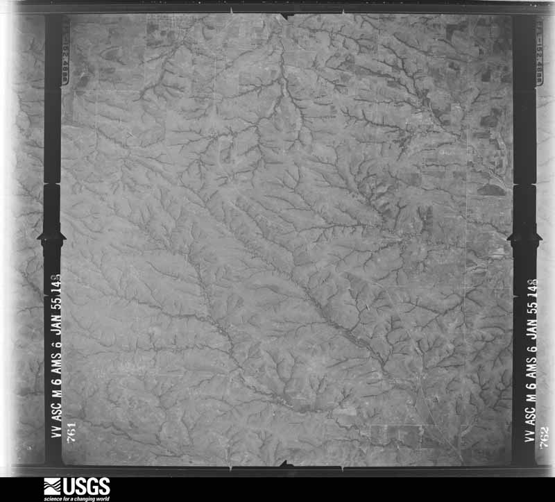
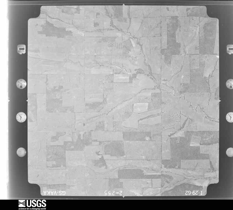
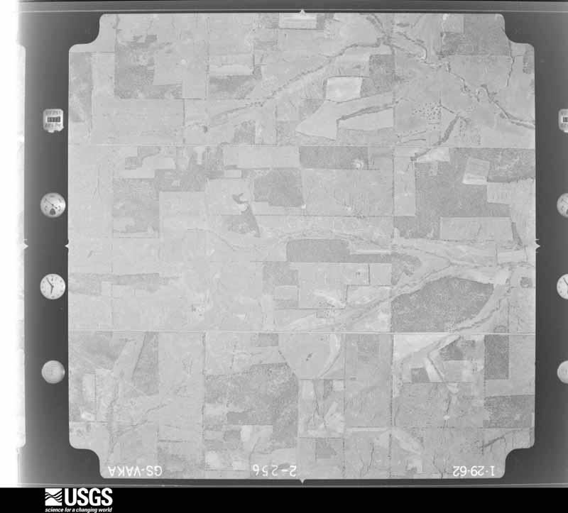
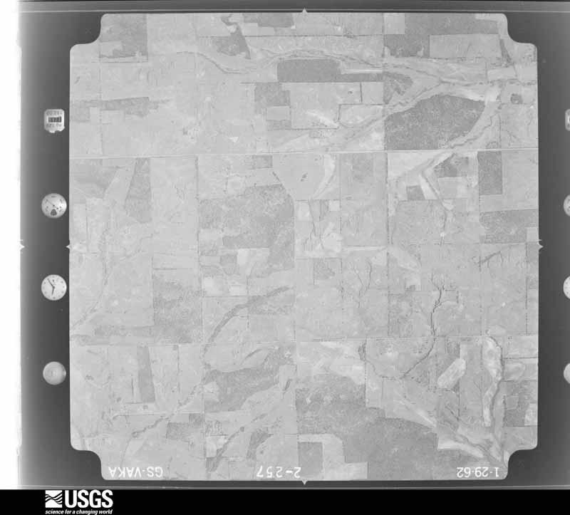
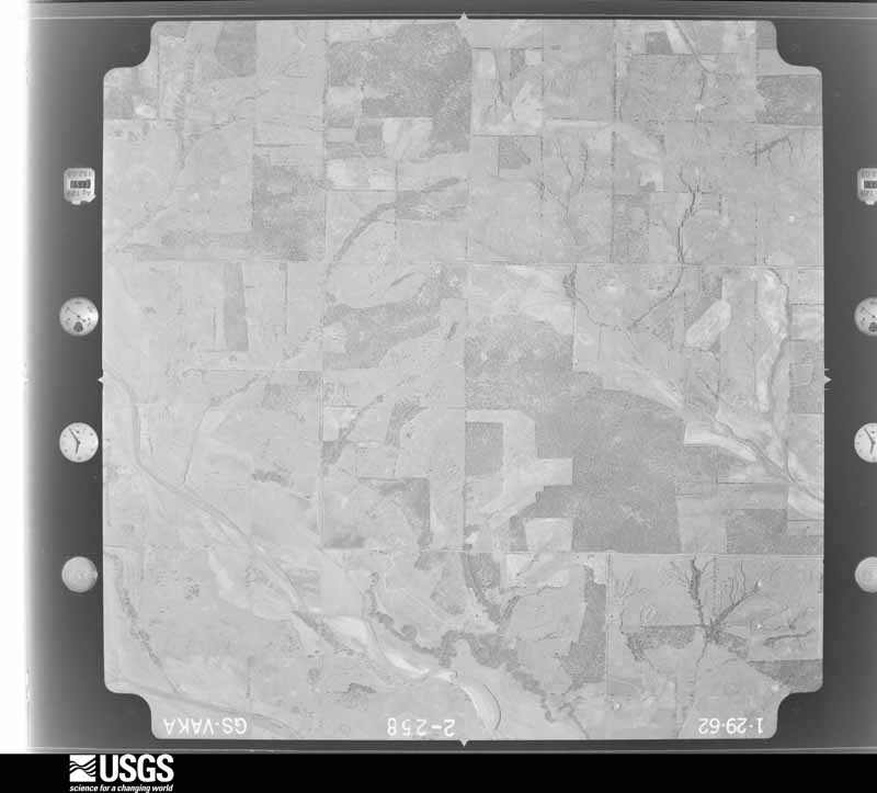
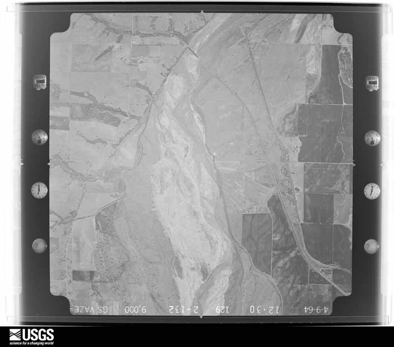
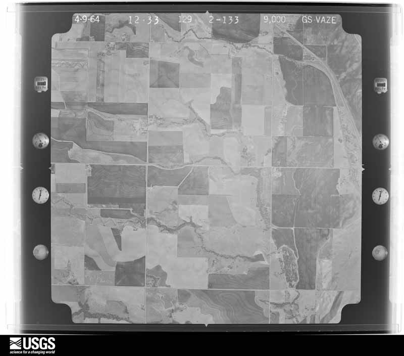
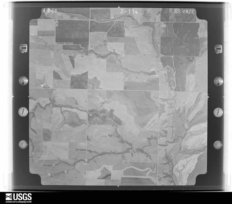
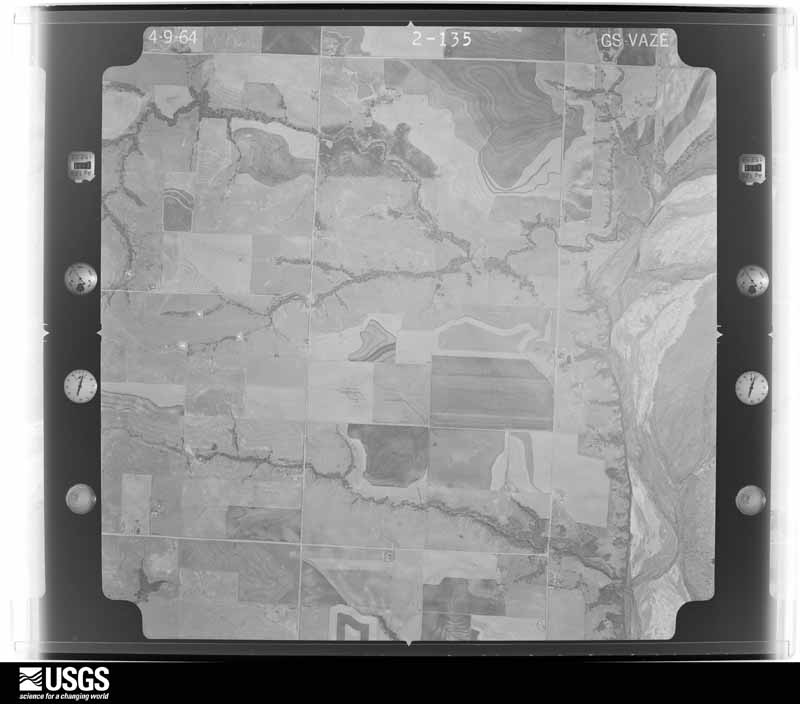
Flown by the U.S. Geological Survey between 1937 and 1989, the Aerial Photo Single Frames collection is the definitive mid-century view of the land: fields, roads and rivers as the camera saw them. The Survey holds 2,512 frames inside the rectangle that bounds this county; the 48 frames below were taken over the county itself, chosen across the decades of flights (at most four a year from that rectangle), so one flight cannot crowd out the rest. The full set is free to browse and download at EarthExplorer under the dataset Aerial Photo Single Frames.

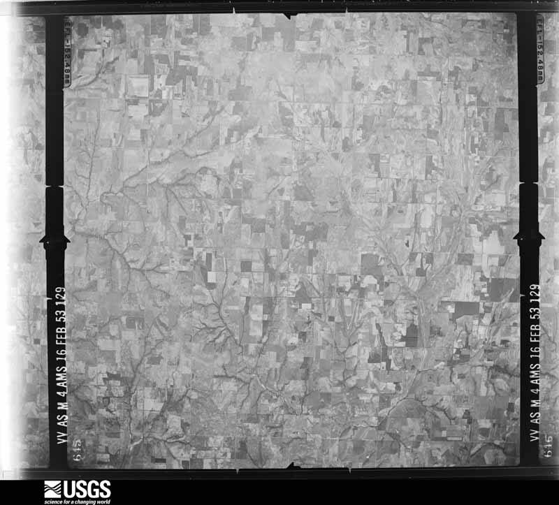
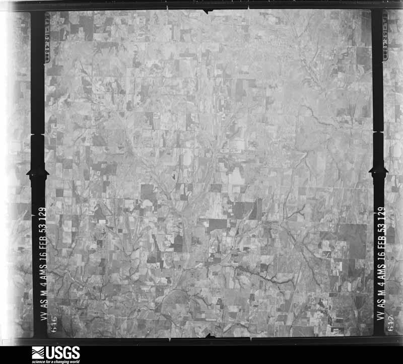
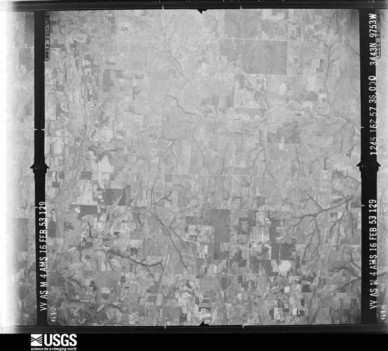
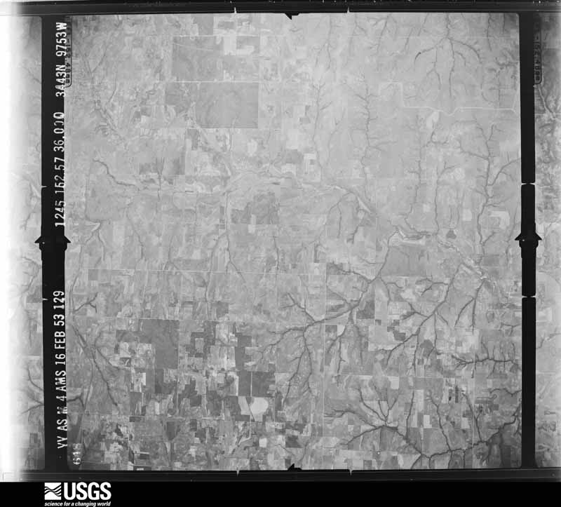
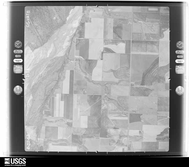
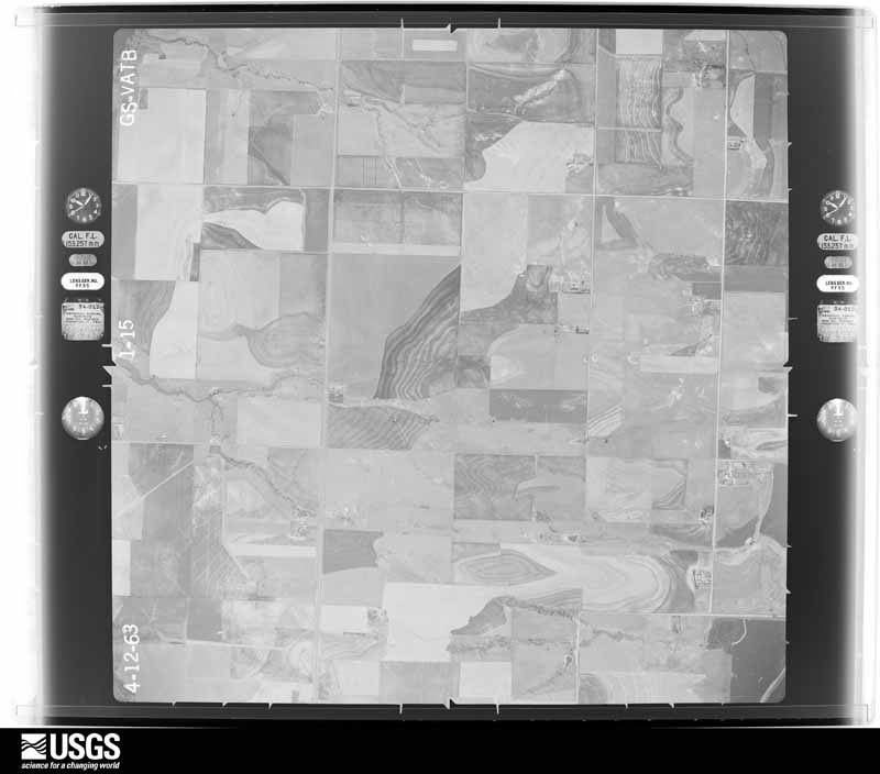
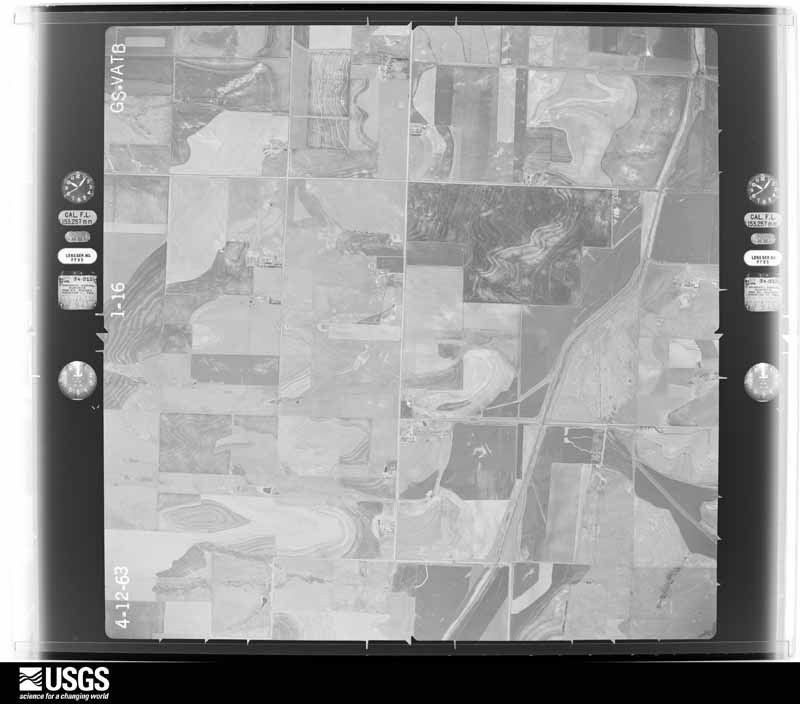
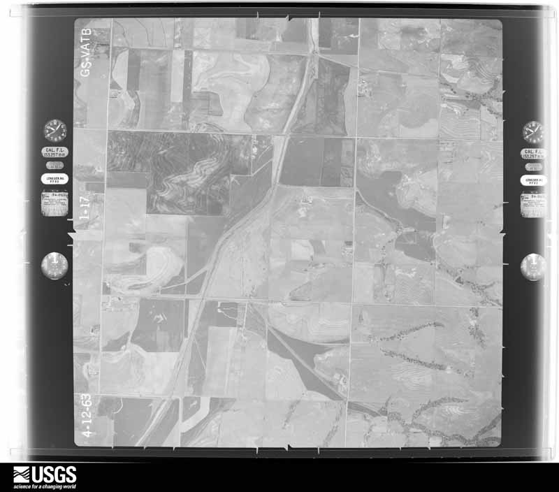
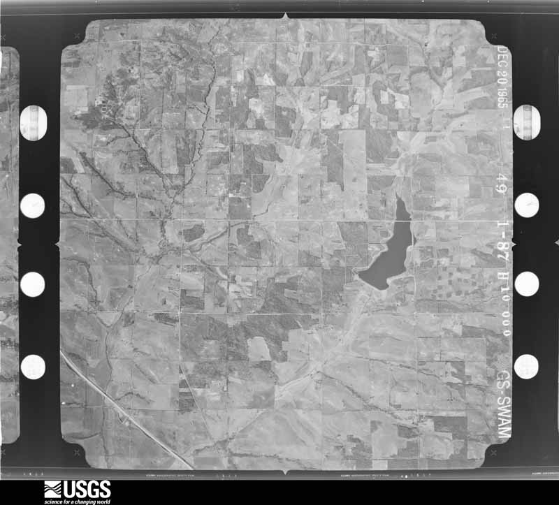
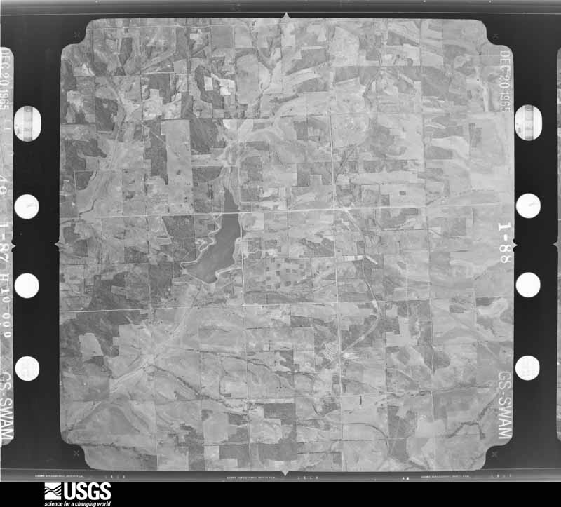
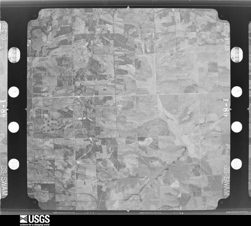
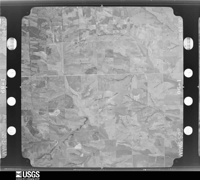
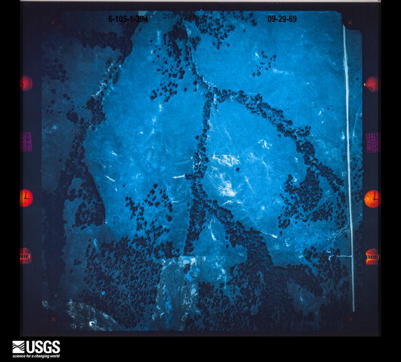
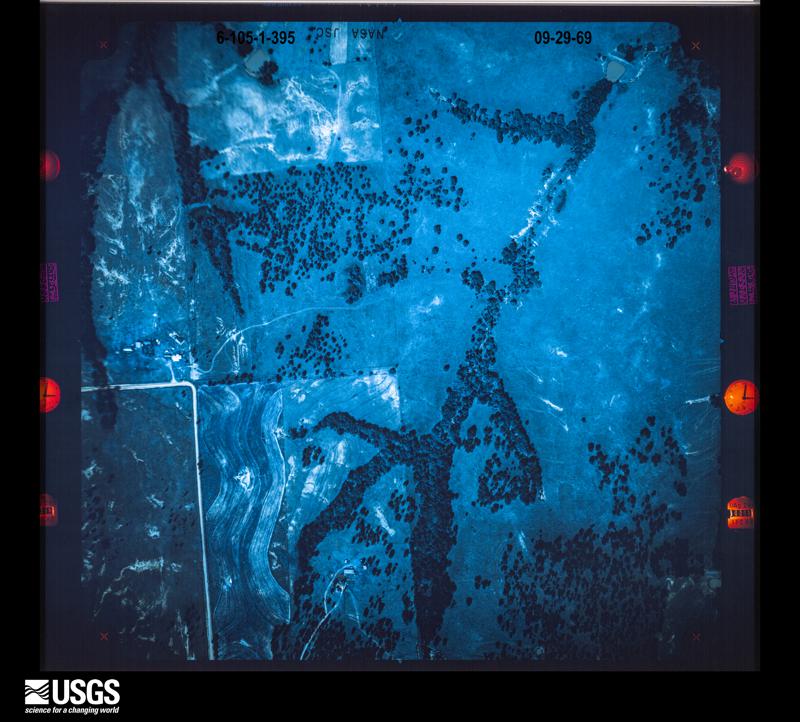
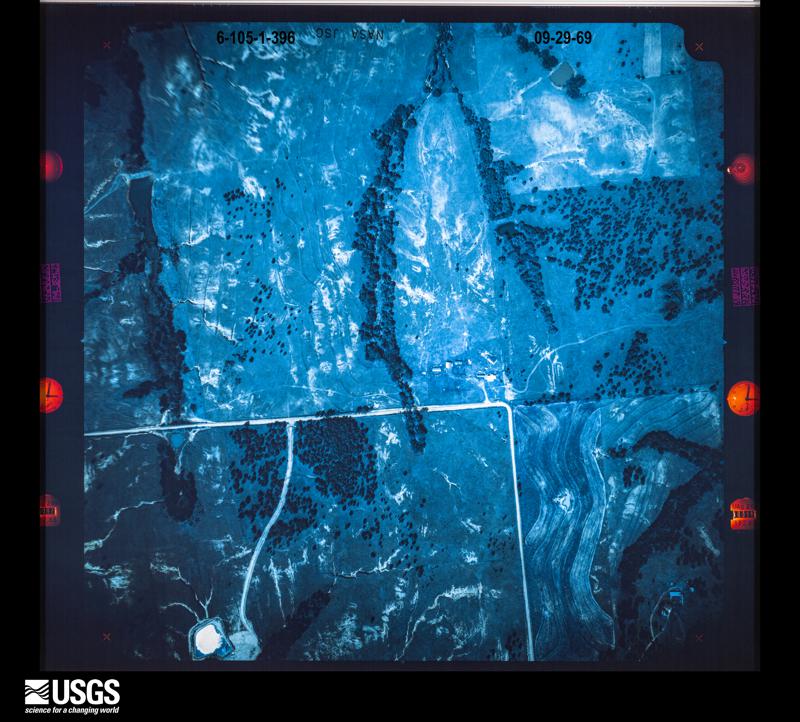
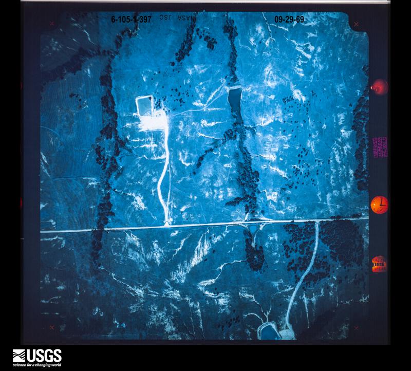
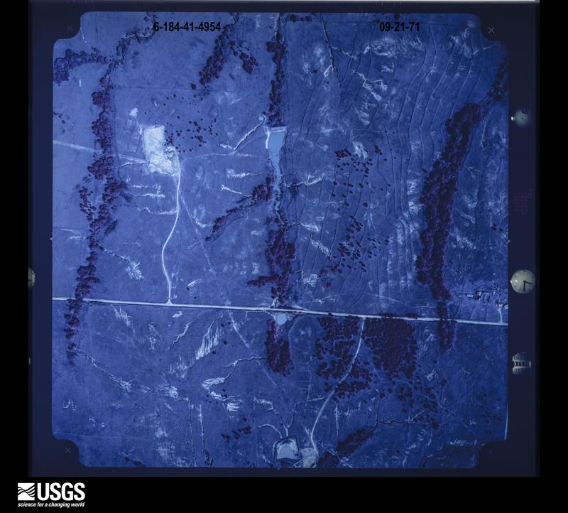
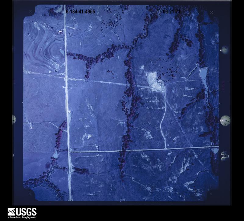
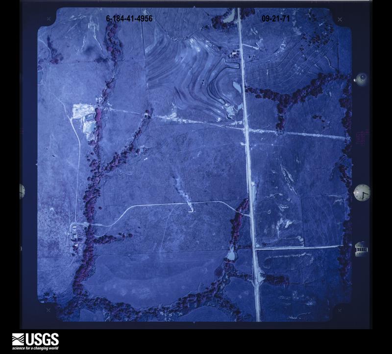
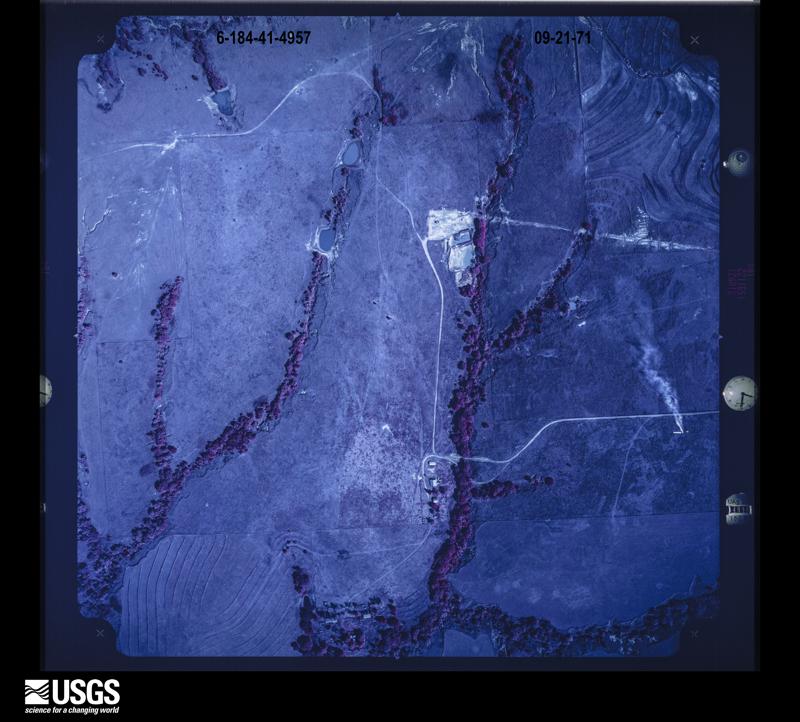
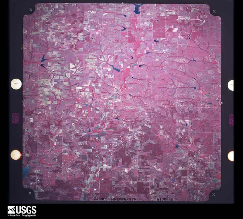
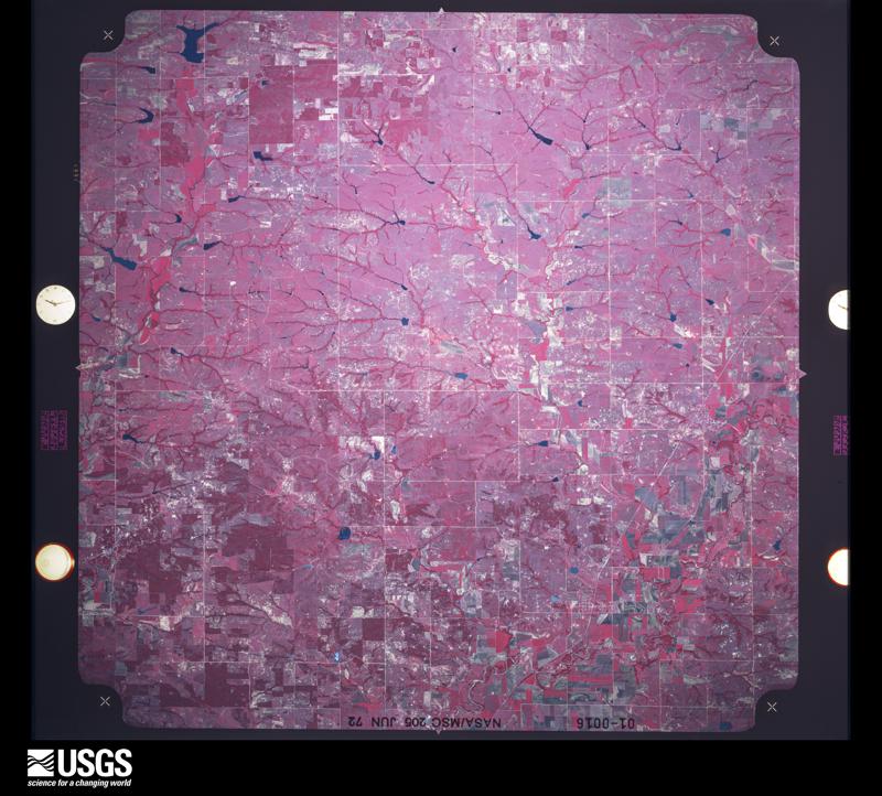
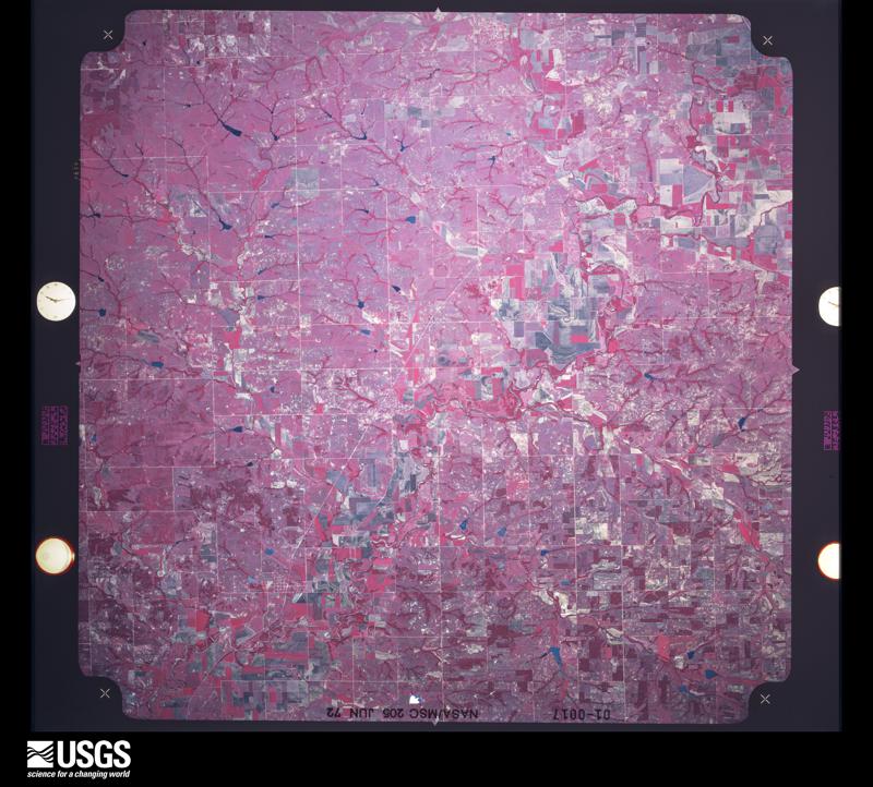
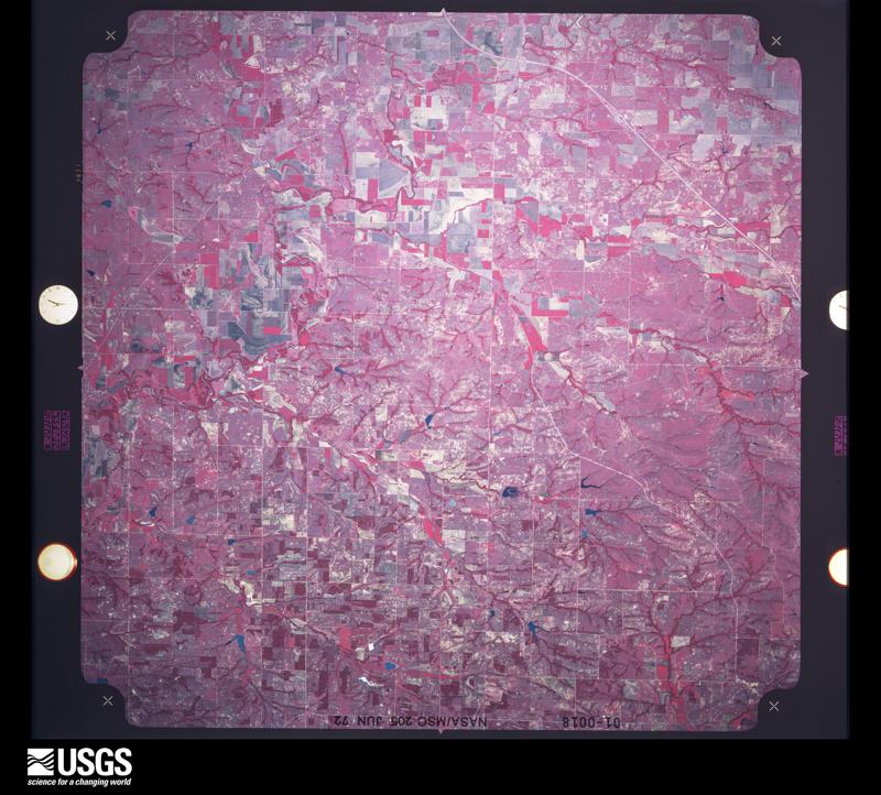
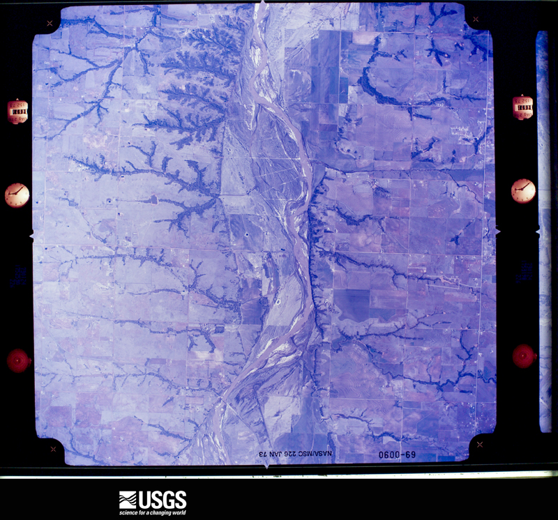
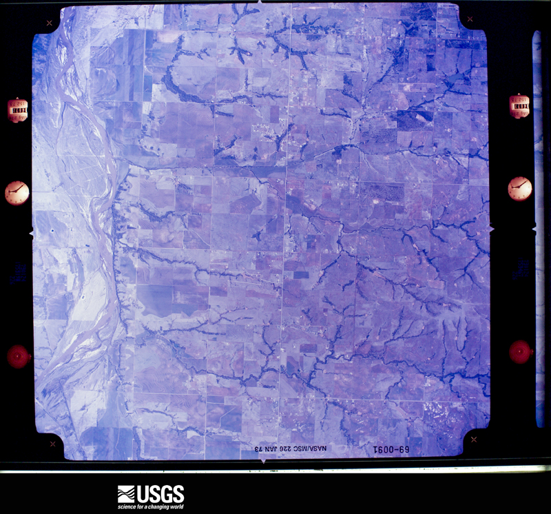
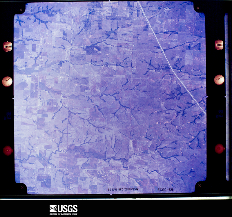
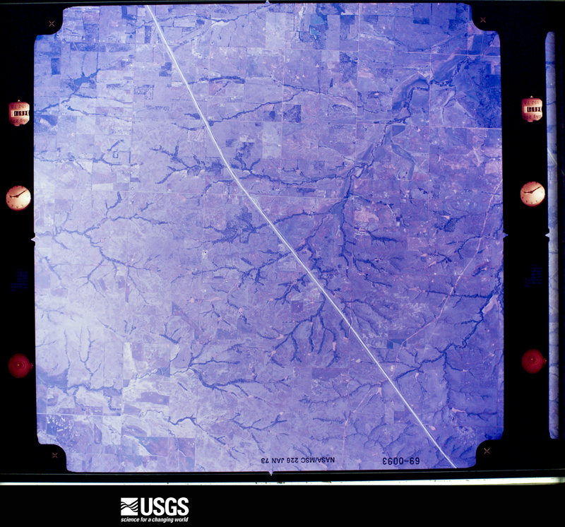
The thermometers that kept this county's weather, and the gages that measured the flow of its streams, as the federal records hold them. The extremes below are measured values from those records, not estimates.
Who lived here in 1950, one enumeration district at a time, as the Census Bureau described each district. Each row opens its official National Archives result, with Population Schedules and ED Maps available there.
Every wildfire the federal occurrence database records inside this county: 26 of them, burning about 17,180 acres. 1 started naturally and 3 were recorded as arson. Each settlement page carries the fires within five miles of it.
| Reported cause | Fires |
|---|---|
| Missing data/not specified/undetermined | 11 |
| Equipment and vehicle use | 7 |
| Debris and open burning | 4 |
| Arson/incendiarism | 3 |
| Natural | 1 |
The five largest, by the area the report gives. None of them was recorded as arson.
| Date | Cause | Size | Reported by | Name on the report |
|---|---|---|---|---|
| 9 April 2009 | Missing data/not specified/undetermined | 6,766 acres | Oklahoma Division of Forestry | LINDSAY |
| 3 August 2012 | Missing data/not specified/undetermined | 6,500 acres | Oklahoma Division of Forestry | NINNEKAH |
| 5 August 2011 | Equipment and vehicle use | 1,500 acres | Anadarko Agency | WACME |
| 29 January 2017 | Missing data/not specified/undetermined | 782 acres | Chickasaw Agency | BARREL |
| 24 July 2012 | Debris and open burning | 421 acres | Anadarko Agency | DUTTON RD. |
| 8 February 2017 | Missing data/not specified/undetermined | 300 acres | Oklahoma Division of Forestry | WEST MAIN AMBER |
| 6 April 2011 | Equipment and vehicle use | 280 acres | Chickasaw Agency | MARRIS FIRE |
| 3 August 2005 | Equipment and vehicle use | 213 acres | Anadarko Agency | SPANKY |
Every settlement page carries the fires within five miles of it - see the settlement index below.
The NOAA Storm Events Database holds 1,219 reports for this county, causing 16 deaths, 135 injuries and about $133,365,430 in recorded property damage. Each settlement page carries the reports that name it.
| Kind of event | Reports |
|---|---|
| Hail | 645 |
| Thunderstorm Wind | 434 |
| Tornado | 96 |
| Flash Flood | 38 |
| Lightning | 3 |
| Flood | 2 |
| Heavy Rain | 1 |
The most serious of them, by death, then injury, then recorded damage. The accounts are quoted exactly as the forecast office filed them.
| When | Event | Place named | Harm | What the report says |
|---|---|---|---|---|
| May 1999 | Tornado (F5) | Amber | 12 killed, 39 hurt, $90,000,000 | Tornado A9 (Grady County portion). See summary at end of May 3rd storm reports. The beginning time of this tornado was changed from 1723 CST to 1726 CST. Please refer to the original version of May Storm Data for more information. |
| May 2011 | Tornado (EF4) | Norge | 1 killed, 48 hurt | This tornado is labeled C1 (Segment #1 of the Chickasha-Blanchard-Newcastle tornado). The tornado formed on the south side of Chickasha, quickly doing EF-2 damage. Mobile homes were damaged and destroyed, trees were uprooted/destroyed, outbuildings were destroyed, and many buildings lost significant portions of their roofs. One fatality occurred as a mobile home was destroyed in the south portion of Chickasha. As the tornado moved northeast of Chickasha, it gained significant strength, with several areas receiving EF-4 damage. Well-built homes were destroyed. Trees were debarked with only stumps remaining. Cars were thrown hundreds of feet. Almost continuous EF-3/occasional EF-4 damage occurred northeast until it crossed into McClain county 1.5 miles south of Highway 9. The tornado was probably at its strongest as it neared/crossed the McClain county line. Wind speeds there were estimated near 200 mph. Monetary damage estimates were not available. |
| March 1953 | Tornado (F3) | not stated | 1 killed, 8 hurt, $250,000 | no account filed |
| April 1981 | Tornado (F2) | not stated | 1 killed, 4 hurt, $250,000 | no account filed |
| October 1989 | Thunderstorm Wind | not stated | 1 killed | no account filed |
| May 1993 | Thunderstorm Wind | Chickasha | 12 hurt, $50,000 | no account filed |
| May 1999 | Tornado (F2) | Chickasha | 4 hurt, $500,000 | Tornado A8. See summary at end of May 3rd storm reports. |
| May 1999 | Tornado (F3) | Laverty | 4 hurt, $75,000 | Tornado A6 (Grady County portion). See summary at end of May 3rd storm reports. |
| April 1965 | Tornado (F2) | not stated | 2 hurt, $2,500,000 | no account filed |
| April 1951 | Tornado (F2) | not stated | 2 hurt, $250,000 | no account filed |
| April 1961 | Tornado (F3) | not stated | 2 hurt, $25,000 | no account filed |
| April 1960 | Tornado (F3) | not stated | 2 hurt, $25,000 | no account filed |
| April 1960 | Tornado (F3) | not stated | 1 hurt, $250,000 | no account filed |
| March 1998 | Thunderstorm Wind | Tabler | 1 hurt, $60,000 | Severe thunderstorm winds completely destroyed a mobile home east of Tabler. An infant that was in the trailer sustained a serious head injury, and was treated at a local hospital. The other 4 occupants received only minor scrapes and bruises. A neighboring trailer home was blown 18 inches east and siding was blown off a third mobile home. |
| May 1995 | Thunderstorm Wind | Amber | 1 hurt, $50,000 | no account filed |
| March 1953 | Tornado (F2) | not stated | 1 hurt, $25,000 | no account filed |
| May 2007 | Flash Flood | Pocasset | 1 hurt, $8,000 | Highway 81 north of Pocasset was closed due to high water. A car drove into flooded street causing car to be washed off the roadway. One injury was reported. Monetary damages were estimated. |
| June 1973 | Tornado (F1) | not stated | 1 hurt, $2,500 | no account filed |
| April 1960 | Tornado (F2) | not stated | 1 hurt, $2,500 | no account filed |
| July 1987 | Thunderstorm Wind | not stated | 1 hurt | no account filed |
| April 1970 | Tornado (F2) | not stated | $25,000,000 | no account filed |
| March 1990 | Tornado (F2) | not stated | $2,500,000 | no account filed |
| April 1974 | Tornado (F3) | not stated | $2,500,000 | no account filed |
| April 1970 | Tornado (F2) | not stated | $2,500,000 | no account filed |
| October 2000 | Flash Flood | Countywide | $1,500,000 | Major flash flooding developed across a large portion of Grady County after several hours of heavy rain. In Chickasha, streets began closing at 2255 CST on the 22nd due to the rain, however it was not until approximately 0600 CST on the 23rd that the worst flooding developed. That was when Line Creek overflowed its banks allowing water to pour into downtown to a depth of 5 feet in spots. Approximately 30 people were rescued from the roof of cars and homes, and between 200 and 400 people were evacuated from their home. All of Chickasha, except the southwest corner of downtown, was flooded, with the worst flooding concentrated along US Routes 62 and 81 leading into Chickasha. Sixty-three businesses received major damage, while 50 homes and the Vo-tech Center sustained minor to major damage. During the night additional road closings, including US Route 62/277 between Chickasha and Blanchard (McClain County), was closed along with Highway 92 between Chickasha and Tuttle. |
| August 2007 | Flash Flood | Chickasha | $1,000,000 | The Chickasha PD received major damage due to flooding, including the phone system, the communication system, data system, and the heating and air conditioning systems. Several businesses sustained damage. The River Bend Golf course received significant damage, including several greens destroyed and part of a golf cart path ripped up. It was reported that new flooring would be required at the Chickasha YMCA due to flooding in almost every room, as well as significant damage to the roof. The Grady County Courthouse received some minor flood damage. Performance Plus also received significant damage. HWY 37 was closed due to several feet of water covering the roadway one mile west of Tuttle. Also in Tuttle, the bridge used by the Stillwater Central Railroad received some damage and became impassable. In Minco, the Buggy Creek Bridge had to be closed due to water running over the top of it. Monetary damages were estimated. |
| April 2010 | Thunderstorm Wind | Rush Springs | $400,000 | Widespread damage occurred in and around the Rush Springs area during the pre-dawn hours. Two areas of rotation occurred along the gust front, one moving through northern Rush Springs, and another moving across the south. The heaviest damage, with wind gusts estimated at 90-100 mph, occurred over the south side of town. In total, four unanchored mobile homes were destroyed. The former diner (Blue's Diner) located on Highway 81b was mostly destroyed, and the walk-in freezer was thrown approximately 40 yards. Several other structures were heavily damaged or destroyed and several large trees were uprooted. Seven distribution poles and nine transmission poles were downed. Numerous other power lines were also downed across Highway 81. The power lines and debris caused the closure of Highway 81 for several hours. Much of the town was without power for several hours. In addition to the structures, several automobiles were heavily damaged from the flying debris. Monetary damages were estimated. |
| June 2005 | Thunderstorm Wind | Chickasha | $350,000 | Extensive damage occurred in the River Bend Housing addition. A damage area one to two miles long (north to south) and two to three miles wide (east to west) was reported. Seventeen homes in the addition were damaged. One home that was partially built was completely destroyed. Another 5 homes sustained major damage, with half of the roof of one home completely ripped off. Eleven homes sustained minor damage mainly consisting of shingle damage, damage to garage doors, and windows broken. The Friends School Cafeteria nearby also sustained major roof damage. Widespread tree damage was also reported in the area. |
| April 1981 | Tornado (F1) | not stated | $250,000 | no account filed |
| April 1969 | Tornado (F1) | not stated | $250,000 | no account filed |
| April 1960 | Tornado (F2) | not stated | $250,000 | no account filed |
| March 2002 | Thunderstorm Wind | Tuttle | $150,000 | Top layers of the southwest corner of the Tuttle High School roof were blown off, exposing about 10 rooms. Several heating and air conditioning units were also blown loose. The roof of the district's wrestling room, which is located about 100 yards to the east of the high school, was also damaged. |
| March 1998 | Thunderstorm Wind | Chickasha | $150,000 | Severe thunderstorm winds blew out numerous windows, downed large trees, and destroyed several signs and awnings in the downtown business district. Utility poles were downed, damaging and cutting the power to the city's water treatment facility. Nearby a carport was lifted and blown onto a mobile home and a storage shed was blown away. Just south of town a mobile home was overturned by the severe thunderstorm winds. |
| October 1998 | Tornado (F2) | Middleberg | $125,000 | no account filed |
| January 2005 | Lightning | Rush Spgs | $100,000 | Two oil field tank batteries were struck by lightning causing them to explode. One tank was full of oil while the other tank was about half full. The explosion caused a tank to move 50-60 feet while the other tank was thrown 75-100 feet. |
| July 1996 | Thunderstorm Wind | Chickasha | $100,000 | no account filed |
| December 2022 | Tornado (EF2) | Cox City | $75,000 | A tornado touched down near Cox City and moved east-northeast. The roof and exterior second floor walls were removed from house and a barn was destroyed near Cox City Road just northwest of town. |
| July 1996 | Thunderstorm Wind | Chickasha | $71,500 | no account filed |
| May 2007 | Tornado (EF1) | Minco | $70,000 | Damage was first observed to dairy facility 2.7 miles southwest of Minco where the western portion of the south wall was pushed in which in turn pushed the roof and the northern wall of the building to the north. To the northwest, a farm sustained roof damage to the house, and damage to three metal storage buildings and two barns. Fences and trees were also damaged along the path. Monetary damages were estimated. |
| July 2007 | Thunderstorm Wind | Chickasha | $60,000 | Twenty trees were blown down. Several power poles and lines were downed. The new scoreboard at Memorial Stadium was blown over as well. Monetary damages were estimated. |
| May 2025 | Flood | Middleberg | $50,000 | A section of County Road 1322 was washed out after the failure of nearby reservoir dam. The event time is estimated from broadcast media reports. |
| April 2020 | Tornado (EF1) | Acme | $50,000 | This tornado moved east from Comanche County into Grady County. Immediately upon moving into Grady County, a mobile home was struck and heavily damaged on the east side of County Road 2750 (which is the county line). No other damage is known to have occurred. |
| May 2015 | Hail | Tuttle | $50,000 | Damage to several vehicles and siding on one home. Damages estimated. |
| May 2015 | Flash Flood | Ninnekah | $50,000 | Flooding on Highway 81 south of Chickasha. Vehicles stalled and stranded in water. |
| April 2013 | Hail | Chickasha Arpt | $50,000 | Hail ranged from quarter to half dollar size, causing minor damage to vehicles. |
| August 1997 | Thunderstorm Wind | Chickasha | $50,000 | Severe thunderstorm winds blew 2/3 of the roof off a convenience store, flipped a travel trailer onto a car, lifted another trailer and blew it onto a fence, and blew the roofs off several barns. |
| September 1994 | Thunderstorm Wind | Alex | $50,000 | Scattered thunderstorms moved across parts of central and southern Oklahoma duing the afternoon. Lightning struck an oil tank battery in Marshall County setting it on fire. In Grady County SH 19 was closed between Alex and Chickasha due to high water and a mobile home was destroyed by thunderstorm winds 2 miles south of Alex. Damage was estimated at $20,000. |
| October 1998 | Tornado (F2) | Ninnekah | $50,000 | no account filed |
| June 1994 | Thunderstorm Wind | Amber | $50,000 | no account filed |
| March 1993 | Thunderstorm Wind | Verden | $50,000 | no account filed |
| March 1993 | Thunderstorm Wind | Alex | $50,000 | no account filed |
| April 1993 | Thunderstorm Wind | Rush Springs | $50,000 | no account filed |
| August 2007 | Tornado (EF1) | Minco | $45,000 | A tornado touched down just southeast of the center of the town of Minco and moved through the eastern portion of the town. At least four mobile homes in Minco were damaged, with one losing a significant portion of the exterior walls and roof. Trees were also damaged along the path as the tornado moved north crossing the Canadian River into Canadian County. Monetary damages were estimated. |
| August 2023 | Thunderstorm Wind | Tuttle | $40,000 | A mobile home was removed from its blocks, rolled and destroyed. A large barn in the vicinity also had most of its roof removed. Time is radar estimated. |
| April 2016 | Tornado (EF1) | Agawam | $35,000 | A large tornado developed in southwestern Grady County to the southwest of Ninnekah and moved east-northeast, passing just south of Ninnekah. The tornado dissipated as it crossed state highway 19 to the east of Ninnekah. The tornado damaged at least three homes and destroyed one mobile home south of Ninnekah. |
| May 2018 | Tornado (EF1) | Acme | $30,000 | A tornado developed near County Road 1560 and County Street 2770 to the southwest of Rush Springs. The tornado moved generally northeast crossing US Highway 81 about 3 miles north of Rush Springs, then dissipating about 2 miles SSE of Agawam (or 4.5 miles NNW of Rush Springs). One unoccupied mobile home was rolled and destroyed west of Rush Springs, although adjacent tree damage was relatively minor. Otherwise, damage consisted primarily of tree damage along the path as well as minor damage to a few homes. |
| May 2015 | Flash Flood | Minco | $30,000 | Truck hydroplaned into ditch on Highway 37 between Robbins Rd and County Rd 2870. Water over roadway. |
| June 2005 | Thunderstorm Wind | Chickasha | $30,000 | Power poles were downed from mile marker 83 to 89 on Interstate 44. The interstate was closed from 0130 to 0315 CDT. Near mile marker 85, big tree limbs were downed. A small water tower and outbuildings were also blown over on the south side of the interstate near mile marker 90. |
| October 1998 | Thunderstorm Wind | Tuttle | $30,000 | no account filed |
| May 2025 | Flash Flood | Tuttle | $25,000 | Flooding occurred along roadways, extended into yards and approached at least one house in the community of Tuttle. A broadcast media chaser also reported roadway flooding along Cimarron Road south of the community. The event time is approximate. |
The Survey's mineral resources record lists 70 workings inside this county. None of them still produces: all are closed or unrecorded. Each settlement page carries the workings within five miles of it.
| Commodity | Workings |
|---|---|
| Sand and Gravel, Construction | 69 |
| Clay | 1 |
The least common of them first, because a county's hundredth gravel pit says nothing its first ten did not.
| Where | Site | Commodity | Status | Recorded |
|---|---|---|---|---|
| Unknown Shale Pit | Clay | Past Producer | ||
| Unknown Gravel Pit | Sand and Gravel, Construction | Past Producer | ||
| Unknown Gravel Pit | Sand and Gravel, Construction | Past Producer | ||
| Unknown Gravel Pit | Sand and Gravel, Construction | Past Producer | ||
| Unknown Gravel Pit | Sand and Gravel, Construction | Past Producer | ||
| Unknown Gravel Pit | Sand and Gravel, Construction | Past Producer | ||
| Unknown Gravel Pit | Sand and Gravel, Construction | Past Producer | ||
| Unknown Gravel Pit | Sand and Gravel, Construction | Past Producer | ||
| Unknown Gravel Pit | Sand and Gravel, Construction | Past Producer | ||
| Unknown Gravel Pit | Sand and Gravel, Construction | Past Producer | ||
| Unknown Gravel Pit | Sand and Gravel, Construction | Past Producer | ||
| Unknown Gravel Pit | Sand and Gravel, Construction | Past Producer | ||
| Unknown Gravel Pit | Sand and Gravel, Construction | Past Producer | ||
| Unknown Gravel Pit | Sand and Gravel, Construction | Past Producer | ||
| Unknown Gravel Pit | Sand and Gravel, Construction | Past Producer | ||
| Unknown Gravel Pit | Sand and Gravel, Construction | Past Producer | ||
| Unknown Gravel Pit | Sand and Gravel, Construction | Past Producer | ||
| Unknown Gravel Pit | Sand and Gravel, Construction | Past Producer | ||
| Unknown Gravel Pit | Sand and Gravel, Construction | Past Producer | ||
| Unknown Gravel Pit | Sand and Gravel, Construction | Past Producer | ||
| Unknown Gravel Pit | Sand and Gravel, Construction | Past Producer | ||
| Unknown Gravel Pit | Sand and Gravel, Construction | Past Producer | ||
| Unknown Gravel Pit | Sand and Gravel, Construction | Past Producer | ||
| Unknown Gravel Pit | Sand and Gravel, Construction | Past Producer | ||
| Unknown Gravel Pit | Sand and Gravel, Construction | Past Producer | ||
| Unknown Gravel Pit | Sand and Gravel, Construction | Past Producer | ||
| Unknown Gravel Pit | Sand and Gravel, Construction | Past Producer | ||
| Unknown Gravel Pit | Sand and Gravel, Construction | Past Producer | ||
| Unknown Gravel Pit | Sand and Gravel, Construction | Past Producer | ||
| Unknown Gravel Pit | Sand and Gravel, Construction | Past Producer | ||
| Unknown Gravel Pit | Sand and Gravel, Construction | Past Producer | ||
| Unknown Gravel Pit | Sand and Gravel, Construction | Past Producer | ||
| Unknown Gravel Pit | Sand and Gravel, Construction | Past Producer | ||
| Unknown Gravel Pit | Sand and Gravel, Construction | Past Producer | ||
| Unknown Gravel Pit | Sand and Gravel, Construction | Past Producer | ||
| Unknown Gravel Pit | Sand and Gravel, Construction | Past Producer | ||
| Unknown Gravel Pit | Sand and Gravel, Construction | Past Producer | ||
| Unknown Gravel Pit | Sand and Gravel, Construction | Past Producer | ||
| Unknown Gravel Pit | Sand and Gravel, Construction | Past Producer | ||
| Unknown Gravel Pit | Sand and Gravel, Construction | Past Producer | ||
| Unknown Gravel Pit | Sand and Gravel, Construction | Past Producer | ||
| Unknown Gravel Pit | Sand and Gravel, Construction | Past Producer | ||
| Unknown Gravel Pit | Sand and Gravel, Construction | Past Producer | ||
| Unknown Gravel Pit | Sand and Gravel, Construction | Past Producer | ||
| Unknown Gravel Pit | Sand and Gravel, Construction | Past Producer | ||
| Unknown Gravel Pit | Sand and Gravel, Construction | Past Producer | ||
| Unknown Gravel Pit | Sand and Gravel, Construction | Past Producer | ||
| Unknown Gravel Pit | Sand and Gravel, Construction | Past Producer | ||
| Unknown Gravel Pit | Sand and Gravel, Construction | Past Producer | ||
| Unknown Gravel Pit | Sand and Gravel, Construction | Past Producer | ||
| Unknown Gravel Pit | Sand and Gravel, Construction | Past Producer | ||
| Unknown Gravel Pit | Sand and Gravel, Construction | Past Producer | ||
| Unknown Gravel Pit | Sand and Gravel, Construction | Past Producer | ||
| Unknown Gravel Pit | Sand and Gravel, Construction | Past Producer | ||
| Unknown Gravel Pit | Sand and Gravel, Construction | Past Producer | ||
| Unknown Gravel Pit | Sand and Gravel, Construction | Past Producer | ||
| Unknown Gravel Pit | Sand and Gravel, Construction | Past Producer | ||
| Unknown Gravel Pit | Sand and Gravel, Construction | Past Producer | ||
| Unknown Gravel Pit | Sand and Gravel, Construction | Past Producer | ||
| Unknown Gravel Pit | Sand and Gravel, Construction | Past Producer | ||
| Unknown Gravel Pit | Sand and Gravel, Construction | Past Producer | ||
| Unknown Gravel Pit | Sand and Gravel, Construction | Past Producer | ||
| Unknown Gravel Pit | Sand and Gravel, Construction | Past Producer | ||
| Unknown Gravel Pit | Sand and Gravel, Construction | Past Producer | ||
| Unknown Gravel Pit | Sand and Gravel, Construction | Past Producer | ||
| Unknown Gravel Pit | Sand and Gravel, Construction | Past Producer | ||
| Unknown Gravel Pit | Sand and Gravel, Construction | Past Producer | ||
| Unknown Gravel Pit | Sand and Gravel, Construction | Past Producer | ||
| Unknown Gravel Pit | Sand and Gravel, Construction | Past Producer | ||
| Unknown Gravel Pit | Sand and Gravel, Construction | Past Producer |
Named settlements recorded in the Geographic Names Information System, each with the topographic sheets covering it. Villages, hamlets and abandoned places alike. Each is shown with the nearest named watercourse or landform and the survey quadrangle it falls on. The 7 places that were also surveyed for fire insurance come first, with the number of atlases and photographs held for them.
Alex census division · 73002 · On Soldier Creek · Alex quadrangle
17 sheets, 1902 to 1986
Fire insurance: 3 atlases
Chickasha census division · 73018 · On Rock Hollow Creek · Chickasha quadrangle
13 sheets, 1904 to 1985
Fire insurance: 10 atlases
Minco census division · 73059 · Minco quadrangle
14 sheets, 1893 to 1985
Fire insurance: 6 atlases
Alex census division · 73067 · On Rock Creek · Ninnekah quadrangle
17 sheets, 1902 to 1986
Fire insurance: 5 atlases
Rush Springs census division · 73082 · Rush Springs quadrangle
17 sheets, 1902 to 1986
Fire insurance: 10 atlases
Tuttle census division · 73089 · Tuttle quadrangle
15 sheets, 1893 to 1985
Fire insurance: 4 atlases
Chickasha census division · 73092 · Verden quadrangle
9 sheets, 1945 to 1986
Fire insurance: 3 atlases
Chickasha census division · 73017 · On Charlie Creek · Rocky Ford quadrangle
13 sheets, 1949 to 1991
13 topographic sheets and 10 fire insurance atlases, 1894 to 1943
17 topographic sheets and 10 fire insurance atlases, 1894 to 1941
14 topographic sheets and 6 fire insurance atlases, 1894 to 1947
17 topographic sheets and 5 fire insurance atlases, 1902 to 1916
15 topographic sheets and 4 fire insurance atlases, 1916 to 1930
17 topographic sheets and 3 fire insurance atlases, 1916 to 1930
9 topographic sheets and 3 fire insurance atlases, 1914 to 1922