 Block
Waynoka, Oklahoma
9 topographic sheets cover this place, the earliest surveyed in 1955 and the latest in 1990. It stands in the South Woods census division. It lies in ZIP code area 73860. The Survey maps it on the Waynoka West quadrangle. 708 people lived here at the 2020 count. It stands 1,476 feet above sea level.
Research this city
On record in Waynoka
Buildings and businesses the archive holds for this place. Each opens its own page, with the source record it came from.
On the National Register 3 records
- First Congregational Churchlisted 2017
- Waynoka Sante Fe Depot and Harvey Houselisted 1974
- Waynoka Telephone Exchange Buildinglisted 2014
Population over time
2 figuresWaynoka fell from 927 to 708 between 2010 and 2020. These are the recorded population figures Wikidata holds for this place, reached through the Geographic Names Information System number this page is keyed on rather than by name, so they belong to this place and not to another of the same name. Most are census counts, but not all are: an early figure may be a founding or settlement estimate, and an estimate published within five years of a census is left out. The change column is computed, and is left blank where more than 20 years separate a figure from the one before it, because a gap that long is not a change between two counts.
| Year | People | Change |
|---|---|---|
| 2010 | 927 | |
| 2020 | 708 | -219 (-24%) |
Topographic sheets covering this place
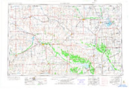
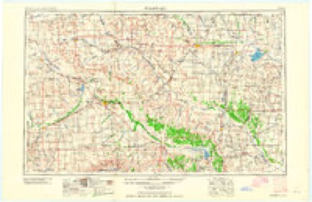
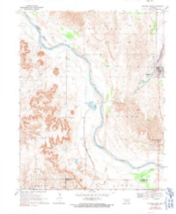
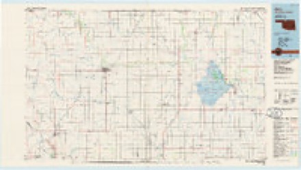
5 surveys from 9 printed sheetsMatched by testing this settlement's coordinate against the published boundary of every sheet in the United States Geological Survey's historical collection. Each opens the scanned sheet at the Survey.
- 1955 USGS Woodward quadrangle1:250000, 3 printings
- 1958 USGS Woodward quadrangle1:250000, 2 printings
- 1969 USGS Waynoka West quadrangle1:24000, 2 printings
- 1985 USGS Alva quadrangle1:100000
- 1990 USGS Alva quadrangle1:100000
Photographs
8 of 19 photographs shown, 1943Taken for the Office of War Information and the Farm Security Administration, who photographed the country between 1935 and 1944. Works of United States government photographers, with no known restriction on use. Each opens its catalogue record.
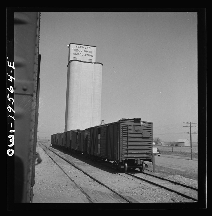
Delano, Jack, 1943. Library of Congress
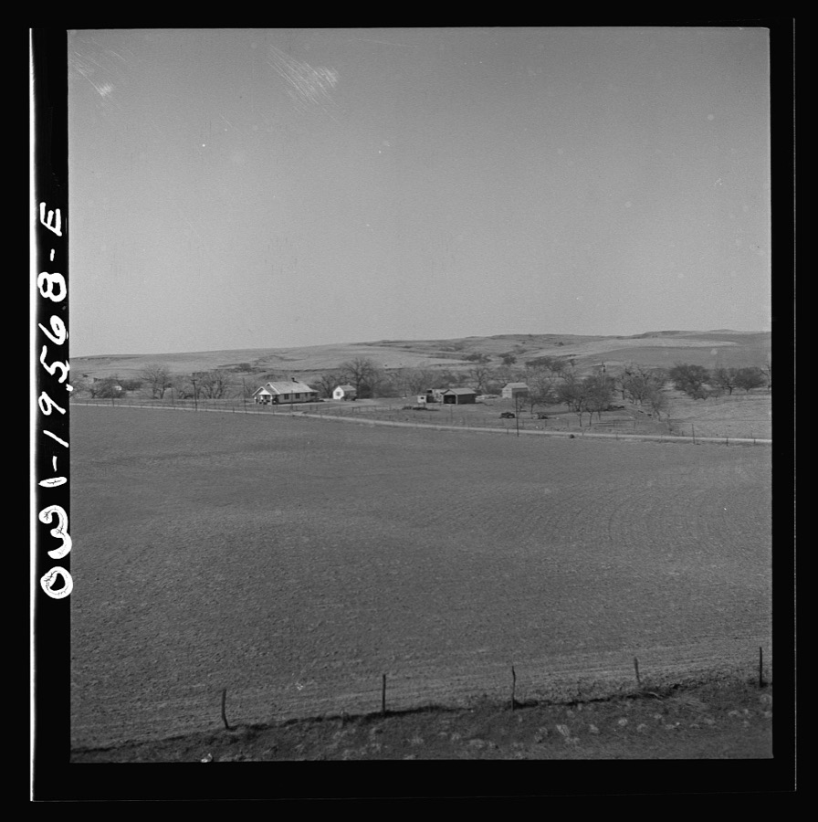
Delano, Jack, 1943. Library of Congress
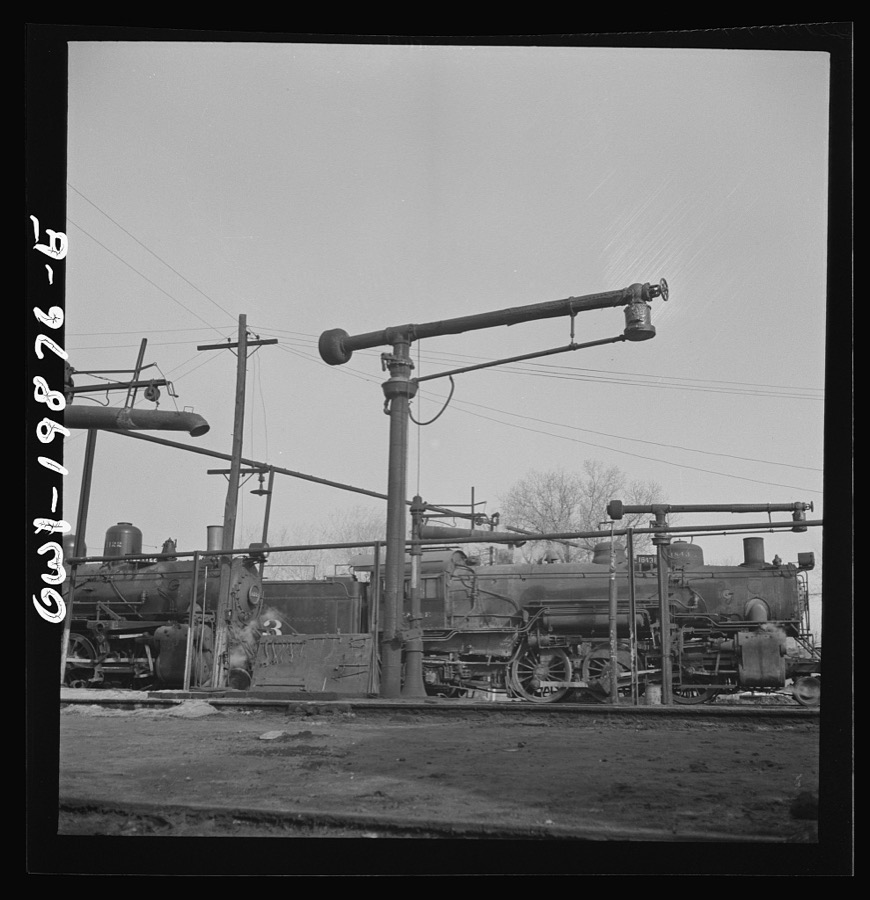
Delano, Jack, 1943. Library of Congress
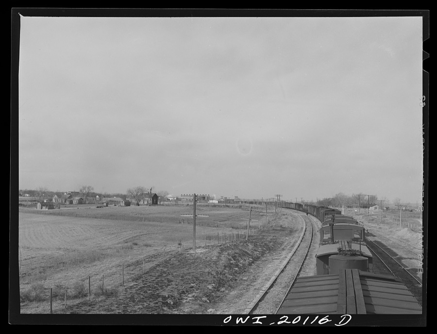
Delano, Jack, 1943. Library of Congress
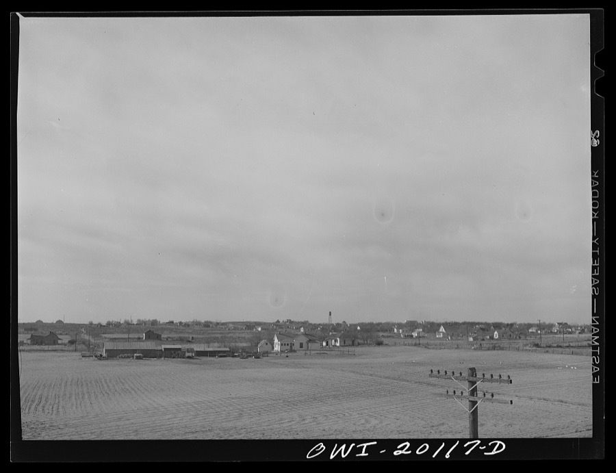
Delano, Jack, 1943. Library of Congress
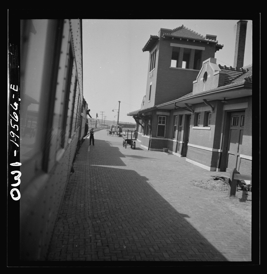
Delano, Jack, 1943. Library of Congress
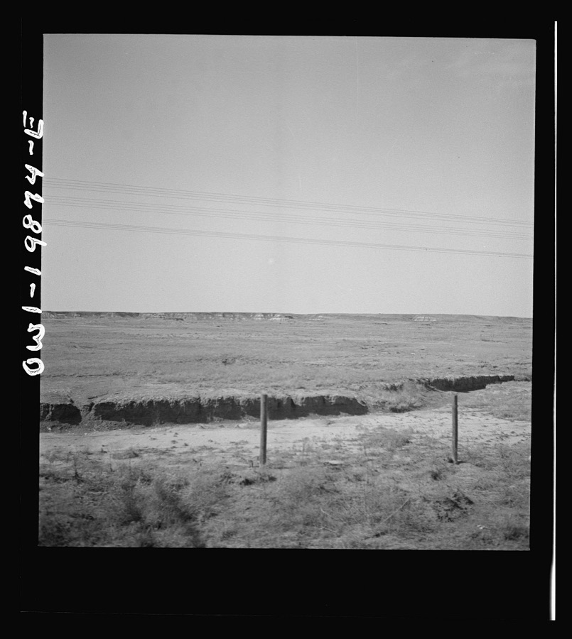
Delano, Jack, 1943. Library of Congress
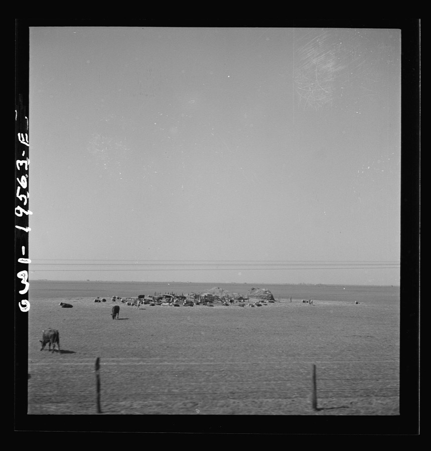
Delano, Jack, 1943. Library of Congress
Every photograph of Woods County
Mines and quarries near this place
3 within 5 milesRegional context, not property-specific evidence. The federal mineral resources record lists 3 workings within 5 miles of Waynoka: 3 past producers. None of them still produces. What was taken out: Sand and Gravel, Construction. Distance is straight-line from the map coordinates, so a quarry counted here may appear on a neighbouring settlement's page as well.
| Where | Site | Commodity | Status | Recorded |
|---|---|---|---|---|
| Two Unnamed Sand Pits | Sand and Gravel, Construction | Past Producer | ||
| Unknown Sand Pit | Sand and Gravel, Construction | Past Producer | ||
| Unknown Sand Pit | Sand and Gravel, Construction | Past Producer |
Storms near this place
60 of 107 shownRegional context, not property-specific evidence. The National Weather Service names Waynoka in 107 storm reports between 1993 and 2025: 67 hail, 25 thunderstorm wind, 9 tornado, 4 flash flood. The reports record 1 injury. Each account below is quoted exactly as the forecast office filed it, from the NOAA Storm Events Database, and each date opens the federal record of that event.
| When | Event | Place named | Harm | What the report says |
|---|---|---|---|---|
| April 2002 | Tornado (F2) | Waynoka | 1 hurt, $35,000 | This tornado is a continuation of the tornado that moved out of Major County at 0032 CST. The tornado curved to the right as it crossed the Cimarron River and moved northeastward for 15 miles before entering Alfalfa County at 0005 CST on April 18th. In Woods County, about 2 miles southwest of the intersection of State Highway 45 and the Woods County line, the roof of a trailer house was completely removed, and an exterior wall on the northeast side of the house was badly damaged and partially removed from the structure. The owner of the house received minor abrasions to his arm. Across the road from the house, a barn was unroofed, and most of the walls were destroyed. Otherwise, only tree damage was observed across Woods County. |
| June 2004 | Lightning | Waynoka | $75,000 | Lightning struck an empty fiberglass saltwater storage tank causing an explosion at the newly opened Green Valley Saltwater Disposal Plant east of Waynoka on Highway 281. The explosion caused nearly full reclaimed oil storage tanks to catch on fire and burn for much of the night. Some nearby equipment was also destroyed by the fire. |
| June 1995 | Thunderstorm Wind | Waynoka | $50,000 | no account filed |
| July 1995 | Thunderstorm Wind | Waynoka | $50,000 | no account filed |
| June 2005 | Hail | Waynoka | $20,000 | The golf ball size hail along with strong winds caused damage to 5 campers and 5 trucks at the Little Sahara State Park. Siding on the campers was cut. Holes were found in the doors. A roof vent was also shattered. |
| May 2024 | Tornado (EF1) | Waynoka | $10,000 | This was the first of two tornadoes that developed in western Woods County to the northwest of Waynoka. A number of trees were snapped along the path and damage to at least two oil field sites. |
| May 2024 | Tornado (EF1) | Waynoka | $10,000 | A second tornado developed in western Woods County to the northwest of Waynoka. A number of trees were snapped or uprooted, a oil tank was blown or rolled about 300 yards and a barn was damaged. |
| May 2018 | Tornado (EF1) | Waynoka | $10,000 | A weak tornado caused intermittent damage from the north side of Waynoka to an area about 2.5 miles south-southeast of Waynoka. A historic (but unoccupied) hotel, The Eastman Building, on the north side of Waynoka was unroofed as the tornado developed. Damage in Waynoka was mainly tree damage with a few downed trees and lot of small limbs. The tornado dissipated about 2.5 miles south-southeast of Waynoka. |
| June 2005 | Thunderstorm Wind | Waynoka | $10,000 | Strong winds caused some damage at a campground at Little Sahara State Park. A 30 foot travel trailer was moved twelve inches sideways off all four jacks. An 18 foot travel trailer was also spun around hitting a pick-up. A propane tank cover near the trailers ended up a quarter of a mile away. Approximately 200 yards from the campers, the roof was taken off the Little Sahara Power Sports building. Golf ball hail also caused damage. |
| June 2005 | Thunderstorm Wind | Waynoka | $5,000 | Shop doors were ripped off. |
| July 1995 | Thunderstorm Wind | Waynoka | $5,000 | no account filed |
| May 1998 | Thunderstorm Wind | Waynoka | $2,500 | no account filed |
| March 2007 | Thunderstorm Wind | Waynoka | $2,000 | Power lines were downed. |
| August 2004 | Thunderstorm Wind | Waynoka | $1,000 | Minor tree damage was reported. |
| May 2000 | Flash Flood | Waynoka | $200 | A west-facing basement window was broken by fast moving water on Waynoka Street. Four to five inches of rain was reported in the area. |
| April 2025 | Hail | Waynoka | - | The report was relayed through mPING. |
| April 2025 | Hail | Waynoka | - | The report was relayed through mPING. |
| June 2023 | Thunderstorm Wind | Waynoka | - | Tree down across the road at the intersection of Santa Fe Street and High Street. Time is radar estimated. |
| May 2019 | Hail | Waynoka | - | Spotter network report. |
| May 2017 | Tornado (EFU) | Waynoka | - | This tornado initially developed west-northwest of Bouse Junction in Major County and moved into Woods County southwest of Waynoka. The tornado moved to the north-northwest about 4 miles before dissipating. No damage was reported in Woods County from this tornado as it remained in rural areas. |
| July 2015 | Flash Flood | Waynoka | - | Several streets in downtown were flooded. |
| June 2014 | Thunderstorm Wind | Waynoka | - | Estimated 60 mph wind gusts. No damage information was provided. |
| June 2014 | Thunderstorm Wind | Waynoka | - | Observer reported 60 mph winds. No damage information was provided. |
| June 2014 | Thunderstorm Wind | Waynoka | - | Severe wind gusts caused a BNSF train to topple off its tracks. This resulted in significant damage to many of the train cars and lost goods that the train was hauling. |
| August 2014 | Thunderstorm Wind | Waynoka | - | Winds estimated on the south side of Waynoka. |
| April 2012 | Tornado (EF1) | Waynoka | - | The tornado moved from Major County into Woods County south and southeast of Waynoka. As the tornado was in the process of dissipating, it damaged equipment at an oil field southeast of Waynoka starting a fire. |
| April 2012 | Tornado (EF0) | Waynoka | - | The tornado developed just northwest and west of the tornado that moved into Woods County from Major County. It produced no known damage and the location is estimated. |
| April 2012 | Tornado (EF0) | Waynoka | - | Numerous chasers observed this tornado that moved from approximately 10 miles east of Waynoka to approximately 2 miles northeast of Hopeton. Despite the 9-mile long path, no damage was reported. |
| June 2011 | Hail | Waynoka | - | A wind gust to 50 mph was also reported. |
| July 2011 | Thunderstorm Wind | Waynoka | - | No damage was reported with the wind gust. |
| April 2009 | Hail | Waynoka | - | The hail was reported at the Waynoka Airport. |
| September 2008 | Heavy Rain | Waynoka | - | The measured rainfall was 4.30 inches, much of it falling in a six to eight hour period. |
| June 2005 | Flash Flood | Waynoka | - | At 3:45 pm CST, city officials at Waynoka, OK in Woods County reported significant street flooding in Waynoka. In addition, media sources reported a local road washed out by flash floodwaters near Little Sahara State Park, 3 miles south of Waynoka, at 3:57 pm CST. |
| June 2004 | Hail | Waynoka | - | Hail was observed on Highway 281. |
| October 2000 | Flash Flood | Waynoka | - | A county road was closed due to high water. |
| May 1995 | Hail | Waynoka | - | Midday thunderstorms across northwest Oklahoma dropped hail as large as golf balls six miles northeast of Waynoka in Woods County. |
| May 2018 | Hail | Waynoka | - | no account filed |
| May 2018 | Hail | Waynoka | - | no account filed |
| May 2018 | Hail | Waynoka | - | no account filed |
| May 2018 | Hail | Waynoka | - | no account filed |
| May 2018 | Hail | Waynoka | - | no account filed |
| July 2017 | Hail | Waynoka | - | no account filed |
| April 2015 | Hail | Waynoka | - | no account filed |
| June 2014 | Hail | Waynoka | - | no account filed |
| May 2013 | Hail | Waynoka | - | no account filed |
| August 2013 | Hail | Waynoka | - | no account filed |
| April 2012 | Hail | Waynoka | - | no account filed |
| April 2012 | Hail | Waynoka | - | no account filed |
| June 2011 | Hail | Waynoka | - | no account filed |
| April 2009 | Hail | Waynoka | - | no account filed |
| June 2007 | Hail | Waynoka | - | no account filed |
| May 2006 | Hail | Waynoka | - | no account filed |
| June 2006 | Hail | Waynoka | - | no account filed |
| July 2006 | Thunderstorm Wind | Waynoka | - | no account filed |
| August 2006 | Hail | Waynoka | - | no account filed |
| August 2006 | Thunderstorm Wind | Waynoka | - | no account filed |
| June 2005 | Thunderstorm Wind | Waynoka | - | no account filed |
| June 2005 | Hail | Waynoka | - | no account filed |
| June 2005 | Hail | Waynoka | - | no account filed |
| October 2005 | Hail | Waynoka | - | no account filed |
Nearest settlements
The eight closest, with where each one stands in the county. Distances are straight-line, computed from the Geographic Names Information System coordinates.
Elsewhere
Matched on this settlement's Geographic Names Information System number rather than its name, so it cannot be a different place of the same name in another state.
| Wikipedia article on Waynoka | An encyclopaedic summary. Its text is share-alike, so it is linked here rather than copied. |
| Wikidata item Q2694836 | The structured record the population and elevation above come from. Public domain (CC0). |
Provenance
This settlement is recorded in the Geographic Names Information System as feature 1099446. The sheet list is computed by point-in-boundary test against the United States Geological Survey's historical topographic inventory. Both are works of the United States government and carry no copyright under 17 U.S.C. 105.
Mines and quarries. USGS Mineral Resources Data System (MRDS) https://mrdata.usgs.gov/mrds/ A work of the United States government, no copyright under 17 U.S.C. 105.
Storms. NOAA National Centers for Environmental Information, Storm Events Database https://www.ncei.noaa.gov/stormevents/ A work of the United States government, no copyright under 17 U.S.C. 105. Narratives are quoted verbatim from the National Weather Service report and are not edited or summarised.