 Block
Block
Amherst, Ohio
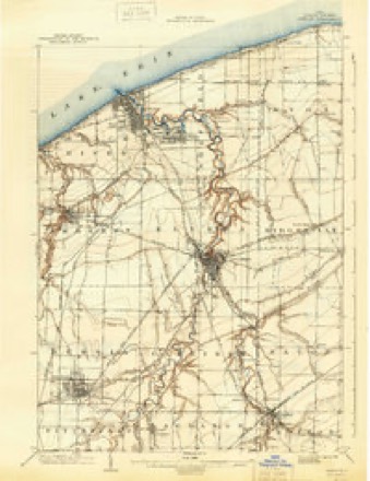
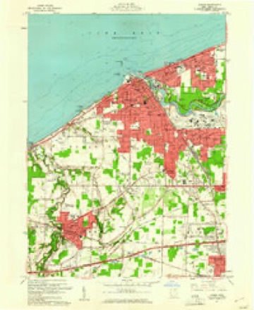
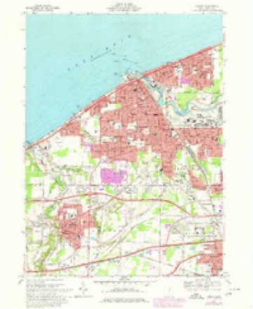
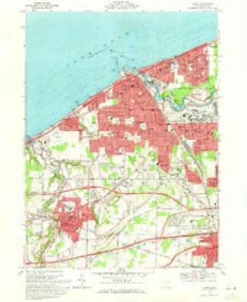
15 topographic sheets cover this place, the earliest surveyed in 1901 and the latest in 1986. It stands in Amherst City. It lies in ZIP code area 44001. The Survey maps it on the Lorain quadrangle. 12,681 people lived here at the 2020 count. It stands 689 feet above sea level.
Population over time
2 figuresAmherst grew from 12,021 to 12,681 between 2010 and 2020. These are the recorded population figures Wikidata holds for this place, reached through the Geographic Names Information System number this page is keyed on rather than by name, so they belong to this place and not to another of the same name. Most are census counts, but not all are: an early figure may be a founding or settlement estimate. The change column is computed, and is left blank where more than 20 years separate a figure from the one before it, because a gap that long is not a change between two counts.
| Year | People | Change |
|---|---|---|
| 2010 | 12,021 | |
| 2020 | 12,681 | +660 (+5%) |
Then and now
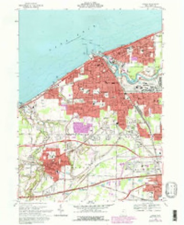
1901 to 1986The same ground, surveyed 85 years apart. Drag the handle to wipe between them. Both sheets are United States Geological Survey originals; neither has been altered.

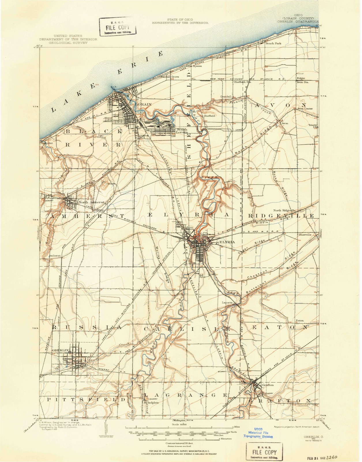
Compare 1901 against another survey:
Topographic sheets covering this place
15 sheetsMatched by testing this settlement's coordinate against the published boundary of every sheet in the United States Geological Survey's historical collection. Each opens the scanned sheet at the Survey.
- 1901 USGS Oberlin quadrangle1:62500
- 1901 USGS Oberlin quadrangle1:62500
- 1901 USGS Oberlin quadrangle1:62500
- 1903 USGS Oberlin quadrangle1:62500
- 1956 USGS Toledo quadrangle1:250000
- 1956 USGS Toledo quadrangle1:250000
- 1956 USGS Toledo quadrangle1:250000
- 1956 USGS Toledo quadrangle1:250000
- 1960 USGS Lorain quadrangle1:24000
- 1961 USGS Toledo quadrangle1:250000
- 1969 USGS Lorain quadrangle1:24000
- 1969 USGS Lorain quadrangle1:24000
- 1969 USGS Lorain quadrangle1:24000
- 1986 USGS Lorain quadrangle1:100000
- 1986 USGS Lorain quadrangle1:100000







Specimens collected nearby
12 of 2,087 shownMuseums hold 2,087 specimens collected within 10 miles of Amherst between 1853 and 1975: 1,023 Animalia, 810 Fungi, 215 Plantae, 16 Protozoa, 13 Chromista, 10 Unrecorded. 12 distinct Species records are shown. Collected by ?, A. A. Wright, A. E. Recksecker and others. Each is a physical object with a catalogue number, and each entry opens the museum's record. This is what was collected and kept, not a survey of what lives here - nothing can be concluded from a species being absent.
| Image | Species | Year | Collected by | Where, as recorded |
|---|---|---|---|---|
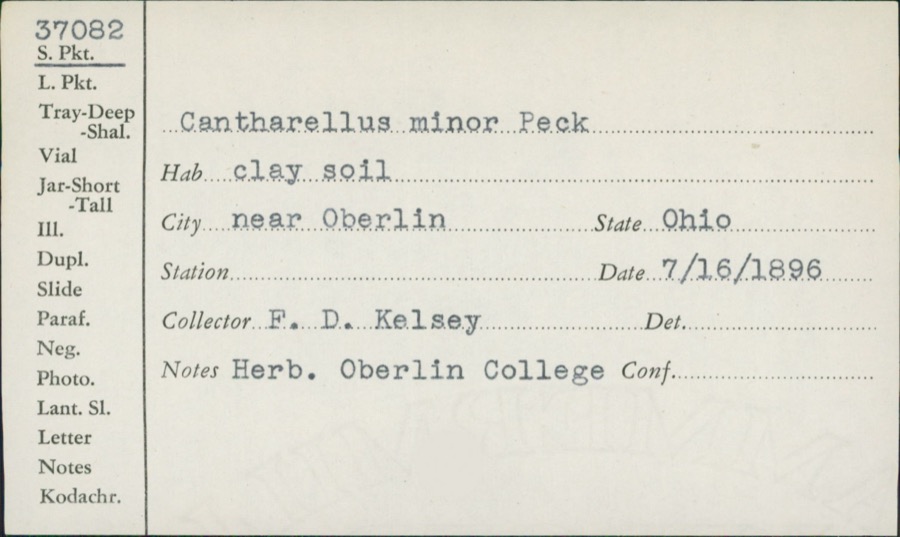 | Cantharellus minor Peck | 1896 | F.D. Kelsey | Near Oberlin |
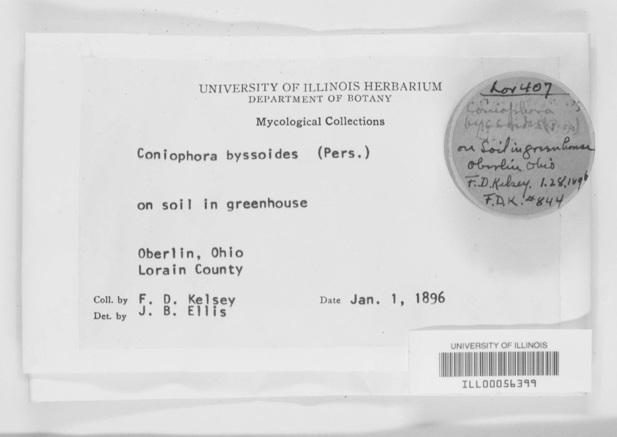 | Coniophora byssoides (Pers.) P.Karst. | 1896 | F. D. Kelsey | Oberlin. |
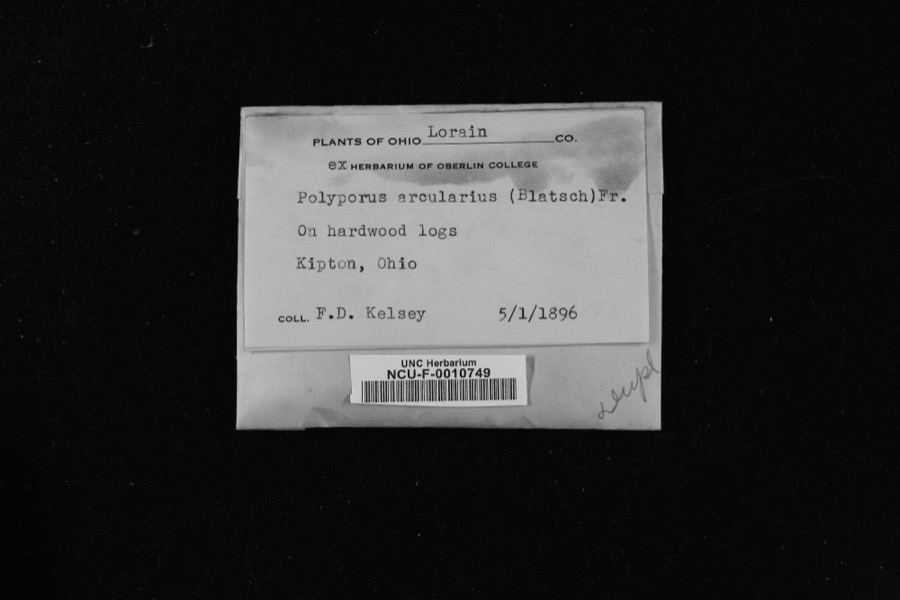 | Polyporus arcularius (Batsch) Fr. | 1896 | Kelsey, Francis Duncan | Kipton |
 | Ammocrypta pellucida (Putnam, 1863) | 1853 | Baird, Spencer Fullerton | Black River, below falls at Elyria, Ohio |
 | Etheostoma blennioides Rafinesque, 1819 | 1853 | S. Baird | Black River Elgria Ohio (above falls) |
 | Etheostoma caeruleum Storer, 1845 | 1853 | S. Baird | Elyria, Ohio |
 | Etheostoma maculatum Kirtland, 1840 | 1853 | S. Baird | Elyria, Ohio |
 | Accipiter cooperii (Bonaparte, 1828) | 1894 | Dawson, W. L. (William Leon) | Oberlin, Lorain, Ohio, USA |
| Aecidium nesaeae W.R.Gerard | 1894 | Kelsey, F.D. | Lorain County, Ohio | |
| Albugo candida (Pers. ex J.F.Gmel.) Roussel | 1894 | F.D. Kelsey | Oberlin | |
 | Ammodramus savannarum pratensis (Vieillot, 1818) | 1894 | Jones, L. (Lynds) | Oberlin Field W of Athletic Park, Lorain, Ohio, USA |
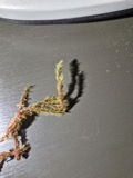 | Aulacomnium palustre (Hedw.) Schwägr. | 1894 | F. D. Kelsey |
All 2,087 specimens within 10 miles, at the Global Biodiversity Information Facility.
Mines and quarries nearby
4 within 5 milesThe federal mineral resources record lists 4 workings within 5 miles of Amherst: 2 past producers, 2 producers. 2 still produce. What was taken out: Stone, Crushed/Broken, Stone, Sand and Gravel, Construction. Distance is straight-line from the map coordinates, so a quarry counted here may appear on a neighbouring settlement's page as well.
| Where | Site | Commodity | Status | Recorded |
|---|---|---|---|---|
| Finnegan Quarry | Stone | Producer | ||
| National Sand & Gravel Co Dredge | Sand and Gravel, Construction | Past Producer | ||
| Birmingham Quarry | Stone, Crushed/Broken | Producer | ||
| Cleveland Quarry | Stone, Crushed/Broken | Past Producer | Sedimentary |
Storms nearby
40 since 1996The National Weather Service names Amherst in 40 storm reports between 1996 and 2026: 26 thunderstorm wind, 11 hail, 1 funnel cloud, 1 tornado. No death or injury is recorded in these reports. Each account below is quoted exactly as the forecast office filed it, from the NOAA Storm Events Database, and each date opens the federal record of that event.
| When | Event | Place named | Harm | What the report says |
|---|---|---|---|---|
| August 2023 | Flash Flood | Amherst | $3,000,000 | Widespread flash flooding across northern Lorain County due to heavy rainfall. Widespread basement and isolated first floor flooding reported in Lorain, Elyria, Amherst, Avon Lake, Avon, and North Ridgeville. Widespread flooded roadways reported. Post event damage assessments reported hundreds of homes and businesses flooded. Radar estimated rainfall of 3 to 4 inches falling in a three hour period, which matched several measured rain gauge reports from the area. |
| April 2008 | Thunderstorm Wind | Amherst | $250,000 | A thunderstorm downburst with winds of 80 to 90 mph moved across portions of Lorain County. The downburst began near the intersection of the Ohio Turnpike and State Route 58 and continued east northeast to near the Midway Mall in Elyria. Pockets of downed trees were observed in several locations just to the north of the Turnpike. The Ohio turnpike was closed near Exit 140 for several hours after a high tension power pole partially collapsed causing a power line to fall onto the road surface. |
| March 2026 | Thunderstorm Wind | Amherst | $50,000 | Two trees downed along North Main Street in Amherst. One of these trees, which was very large, caused considerable damage to a home. |
| November 2013 | Thunderstorm Wind | South Amherst | $40,000 | Thunderstorm winds tore the roof off of a house on Tacoma Avenue. Several other trees were reported down in the City of Lorain. The Emergency Manager estimated wind gusts to 60 mph. |
| June 2011 | Thunderstorm Wind | Amherst | $40,000 | Thunderstorm winds caused minor roof and siding damage to a few homes. |
| June 2008 | Thunderstorm Wind | Amherst | $30,000 | Numerous trees were reported down. Some of the trees even fell onto homes. The extent of damage to the homes was not known. |
| May 2006 | Thunderstorm Wind | Amherst | $30,000 | A tree was reported down on a house. Also, a large limb was reported down, along with power lines in the area. |
| July 2003 | Thunderstorm Wind | Amherst | $30,000 | Thunderstorm winds downed trees in Amherst and Lorain. A home was damaged by a fallen tree in Lorain. |
| November 2002 | Thunderstorm Wind | Amherst | $30,000 | Thunderstorm winds downed several trees. At least one home was damaged by fallen trees. |
| August 2009 | Hail | Amherst | $25,000 | Golf ball size hail was observed. |
| June 2008 | Thunderstorm Wind | Amherst | $25,000 | Numerous trees, large limbs, and power lines were reported down. |
| July 2002 | Thunderstorm Wind | Amherst | $15,000 | Thunderstorm winds downed several large trees. |
| November 2013 | Thunderstorm Wind | South Amherst | $10,000 | Thunderstorm winds downed a tree on State Route 113. Several other trees were brought down by thunderstorm winds on State Route 57. |
| June 2012 | Thunderstorm Wind | Amherst | $10,000 | Thunderstorm winds downed a few trees in western Lorain County. |
| August 2003 | Tornado (F0) | Amherst | $10,000 | The parent thunderstorm that spawned the tornado in Henrietta Township produced a second tornado north of Amherst. This touchdown occurred near State Route 2 between State Route 58 and Terra Lane. The tornado was on the ground for around 300 yards and had a damage path up to 50 yards in width. No structural damage occurred, but several trees were toppled along the damage path. |
| July 2003 | Thunderstorm Wind | Amherst | $10,000 | Thunderstorm winds downed several trees. |
| November 2013 | Thunderstorm Wind | Amherst | $8,000 | Thunderstorm winds downed a few trees. |
| May 2015 | Thunderstorm Wind | Amherst | $5,000 | Thunderstorm winds down a few large trees limbs southeast of Amherst. |
| June 2011 | Hail | Amherst | $5,000 | Ping pong sized hail was observed. |
| November 2002 | Hail | Amherst | $5,000 | Quarter size hail was observed. |
| May 1998 | Thunderstorm Wind | Amherst | $4,000 | Trees and large limbs were downed. |
| July 2005 | Thunderstorm Wind | Amherst | $2,000 | Several large limbs were reported down. |
| July 2005 | Thunderstorm Wind | Amherst | $2,000 | A few large limbs were reported down. |
| September 2003 | Thunderstorm Wind | Amherst | $2,000 | Thunderstorm winds downed two large tree limbs. |
| June 2013 | Thunderstorm Wind | South Amherst | $1,000 | Thunderstorm winds downed several large tree limbs. |
| May 2025 | Thunderstorm Wind | Amherst | - | Small tree branches downed about one-mile southwest of Amherst and large trees downed about one-mile SSE of Amherst. |
| July 2020 | Thunderstorm Wind | South Amherst | - | Several tree limbs down in South Amherst. Multiple trees down in Amherst, including one tree blocking Leavitt Road near KFC. Time estimated via radar. |
| November 2020 | Thunderstorm Wind | Amherst | - | Large tree fell and caused significant structural damage to a house in Amherst. Another large tree was snapped near its base in Elyria. |
| May 2019 | Thunderstorm Wind | South Amherst | - | Several trees were blown down. |
| May 2011 | Thunderstorm Wind | Amherst | - | Thunderstorms produced an estimated wind gust of 60mph. |
| May 2010 | Hail | Amherst | - | Penny sized hail was reported. |
| May 2010 | Hail | Amherst | - | Quarter size hail was observed. |
| August 2009 | Hail | Amherst | - | Nickel size hail was observed. |
| August 2009 | Hail | Amherst | - | Nickel size hail was observed. |
| July 2003 | Funnel Cloud | Amherst | - | A funnel cloud was observed for several minutes over northern Lorain County. The funnel was first spotted along Cooper Foster Park Road in Amherst. The funnel then traveled northeast over the city of Lorain and finally dissipated near Avon Lake. The funnel never came in contact with the ground and caused no damage. |
| June 1998 | Thunderstorm Wind | Amherst | - | A wind gust was estimated at 60 miles per hour. |
| October 1999 | Hail | Amherst | - | no account filed |
| May 1998 | Hail | Amherst | - | no account filed |
| August 1997 | Hail | Amherst | - | no account filed |
| April 1996 | Hail | Amherst | - | no account filed |
Nearest settlements
The eight closest, with where each one stands in the county. Distances are straight-line, computed from the Geographic Names Information System coordinates.
| Map | Place | Distance | Sheets |
|---|---|---|---|
| Kendeigh Corner | 2.1 miles | 14 | |
| Whiskyville | 2.2 miles | 14 | |
| Oakpoint (historical) | 3.0 miles | 15 | |
| Beaver Park | 3.0 miles | 15 | |
| Brownhelm | 3.3 miles | 14 | |
| South Amherst | 3.3 miles | 12 | |
| Penfield Junction | 3.8 miles | 15 | |
| Brownhelm Station | 3.9 miles | 14 |
Elsewhere
Matched on this settlement's Geographic Names Information System number rather than its name, so it cannot be a different place of the same name in another state.
| Wikipedia article on Amherst | An encyclopaedic summary. Its text is share-alike, so it is linked here rather than copied. |
| Wikidata item Q2232720 | The structured record the population and elevation above come from. Public domain (CC0). |
Provenance
This settlement is recorded in the Geographic Names Information System as feature 1064320. The sheet list is computed by point-in-boundary test against the United States Geological Survey's historical topographic inventory. Both are works of the United States government and carry no copyright under 17 U.S.C. 105.
Specimens. Global Biodiversity Information Facility (GBIF), https://www.gbif.org/. Only records licensed CC0 or CC BY are used. Records licensed CC BY-NC are excluded because this site carries advertising. Images are checked individually and any whose licence is non-commercial, no-derivatives or unreadable is refused.
Mines and quarries. USGS Mineral Resources Data System (MRDS) https://mrdata.usgs.gov/mrds/ A work of the United States government, no copyright under 17 U.S.C. 105.
Storms. NOAA National Centers for Environmental Information, Storm Events Database https://www.ncei.noaa.gov/stormevents/ A work of the United States government, no copyright under 17 U.S.C. 105. Narratives are quoted verbatim from the National Weather Service report and are not edited or summarised.