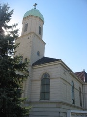
Listed on the National Register of Historic Places in
1987. A historic map-sheet match is not published yet. The record needs a coordinate-quality review before it can be joined to a sheet boundary.
From the record
one of 113 National Register listings in Lorain County · listed in 1987 · category: Building · one of 2 National Historic Landmarks in Lorain County.
National Register reference number.87001985- the number the National Park Service assigned this property when it was listed, and the key its nomination file is catalogued under at the National Archives.
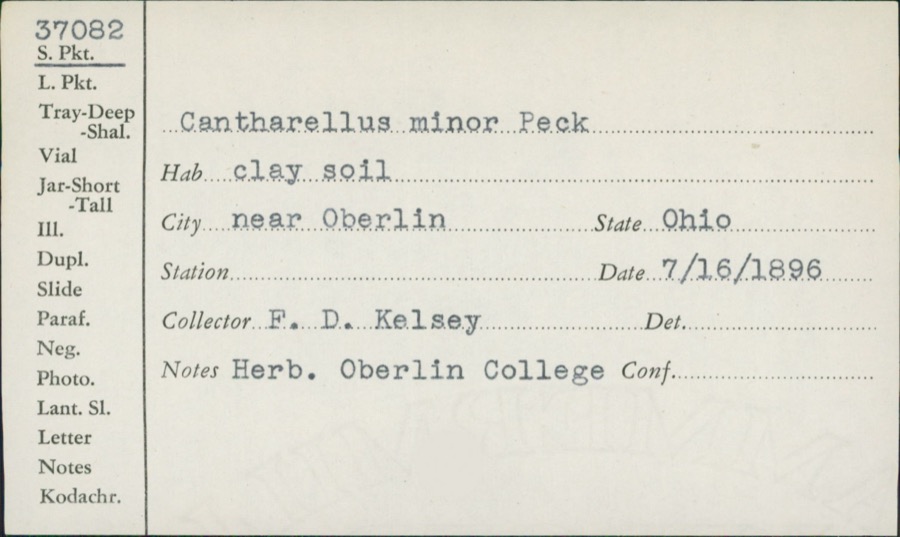
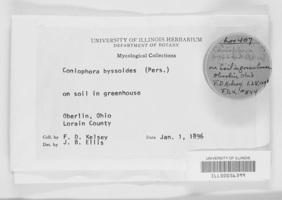
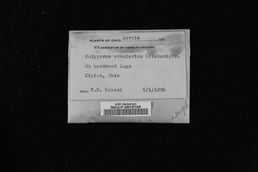
Specimens collected near this property
12 of 2,091 shown
Regional context, not property-specific
evidence. Museums hold 2,091 specimens
collected within 10 miles of Central School between 1853 and
1975: 1,026 Animalia, 811 Fungi, 215 Plantae, 16 Protozoa, 13 Chromista, 10 Unrecorded. 12 distinct Species records are shown.
Collected by ?, A. A. Wright, A. E. Recksecker and others. Each is a
physical object with a catalogue
number, and each entry opens the museum's record. This is what was
collected and kept, not a survey of what lives here - nothing can be
concluded from a species being absent.
Regional context, not property-specific
evidence. The federal mineral resources record lists
4 workings within 5 miles of Central School: 2 past producers, 2 producers.
2 still produce. What was taken out: Stone, Crushed/Broken, Stone, Sand and Gravel, Construction. Distance is straight-line from the
map coordinates, so a quarry counted here may appear on a neighbouring
settlement's page as well.
Regional context, not property-specific
evidence. The National Weather Service names
Amherst, the town this property stands in, in 40 storm reports between 1996 and 2026: 26 thunderstorm wind, 11 hail, 1 funnel cloud, 1 tornado.
No death or injury is recorded in these reports. Each account below is quoted exactly as the forecast office
filed it, from the NOAA Storm Events Database, and each date
opens the federal record of that event.
Widespread flash flooding across northern Lorain County due to heavy rainfall. Widespread basement and isolated first floor flooding reported in Lorain, Elyria, Amherst, Avon Lake, Avon, and North Ridgeville. Widespread flooded roadways reported. Post event damage assessments reported hundreds of homes and businesses flooded. Radar estimated rainfall of 3 to 4 inches falling in a three hour period, which matched several measured rain gauge reports from the area.
A thunderstorm downburst with winds of 80 to 90 mph moved across portions of Lorain County. The downburst began near the intersection of the Ohio Turnpike and State Route 58 and continued east northeast to near the Midway Mall in Elyria. Pockets of downed trees were observed in several locations just to the north of the Turnpike. The Ohio turnpike was closed near Exit 140 for several hours after a high tension power pole partially collapsed causing a power line to fall onto the road surface.
Thunderstorm winds tore the roof off of a house on Tacoma Avenue. Several other trees were reported down in the City of Lorain. The Emergency Manager estimated wind gusts to 60 mph.
The parent thunderstorm that spawned the tornado in Henrietta Township produced a second tornado north of Amherst. This touchdown occurred near State Route 2 between State Route 58 and Terra Lane. The tornado was on the ground for around 300 yards and had a damage path up to 50 yards in width. No structural damage occurred, but several trees were toppled along the damage path.
A funnel cloud was observed for several minutes over northern Lorain County. The funnel was first spotted along Cooper Foster Park Road in Amherst. The funnel then traveled northeast over the city of Lorain and finally dissipated near Avon Lake. The funnel never came in contact with the ground and caused no damage.
No historic map-sheet match is published
for this property yet. That does not mean no map exists. This record needs
a coordinate-quality review before it can be joined to a sheet boundary.
Browse the county's mapped places while that work is
pending.
From the nomination file
2,540 words on record
When this property was proposed for the
National Register, someone wrote the case for it: what the building is,
and why it matters. That document is a federal record in the public domain.
It is quoted below word for word, never summarised. The text was read off the scanned case file by machine, so the
occasional stray character is the recogniser's and the 1970s
typewriter's.
Statement of significance
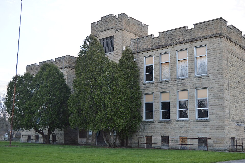
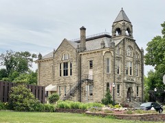
Applicable National Register Criteria Areas of Significance (enter categories from instructions) Period of Significance Significant Dates 1907, 1922 Cultural Affiliation Significant Person Searles, Hirsh, & Gavin State significance of property,and justify criteria, criteria considerations, and areas and periods of significance noted above. of the World" and for its role in the educatioanal history of the small The early growth of Amherst was due to the discovery and mining of sandstone.
Amherst at the time this school was constructed, had become one of the world's nation in the production of sandstone, quarrying 20% of the nation's total crenelated parapet, a four story central projecting bell tower, segmental only sandstone school of this size and from this period in Amherst and the built in 1892, has been listed on the National Register (8/8/85).
The Amherst Central School was one of a number of buildings in northeast Ohio designed by toward rather simple lines, but the castle-like ornamentation of the Central School can also be found, more fully developed, on the Glamorgan Castle in Alliance (Stark County), on the National Register (10/5/72) perhaps the most XX See continuation sheet Architect/Builder Central School is significant for its distinctive native sandstone surrounding township.Earlier 19th century one-room township schools were -architecture Town Hal1,built in 1884,is the only other sandstone bui1ding in Amherst 1isted on the National Register (5/29/75).
Criteria Considerations (Exceptions) architecture, reflecting the development of Amherst as the "Sandstone Capital village of Amherst located in the Western Reserve in northeastern Ohio. arched entrances and rough faced lintels and sills. Central School is the Cleveland architects Paul Searles and William Hirsh. Many of their works tend Amherst and cut in the local cut-stone plant.
Quoted from the National Register nomination
for reference 87001985, 21 pages, held by the National Archives in Record
Group 79. See the
catalogue record.
Listed places nearby
6 within 8 miles
Other National Register properties close
enough to walk or drive between, ordered by distance from this one. Both
positions come from the same geocoding pass that matched these properties
to their map sheets.
Listing record. National Park Service National Register of Historic Places, listed-properties dataset, current to 2026-05-22.
Map join. Address geocoded through the United States Census geocoder, then tested against the published boundary of every sheet in the USGS Historical Topographic Map Collection.
How this page is made. Listing fields come from federal records; map-sheet coverage is a labelled coordinate-to-boundary calculation, not a source-field claim.
Specimens. Global Biodiversity Information Facility (GBIF), https://www.gbif.org/. Only records licensed CC0 or CC BY are used. Records licensed CC BY-NC are excluded because this site carries advertising. Images are checked individually and any whose licence is non-commercial, no-derivatives or unreadable is refused.
Mines and quarries. USGS Mineral Resources Data System (MRDS) https://mrdata.usgs.gov/mrds/ A work of the United States government, no copyright under 17 U.S.C. 105.
Storms. NOAA National Centers for Environmental Information, Storm Events Database https://www.ncei.noaa.gov/stormevents/ A work of the United States government, no copyright under 17 U.S.C. 105. Narratives are quoted verbatim from the National Weather Service report and are not edited or summarised.
 Block
Block