 Block
Block
Amity, Ohio
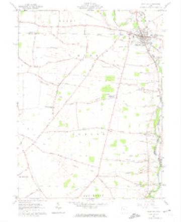
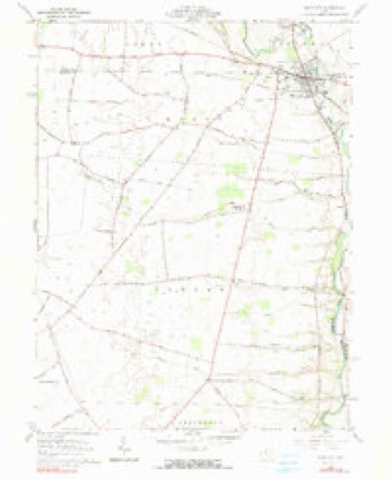
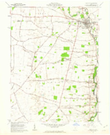
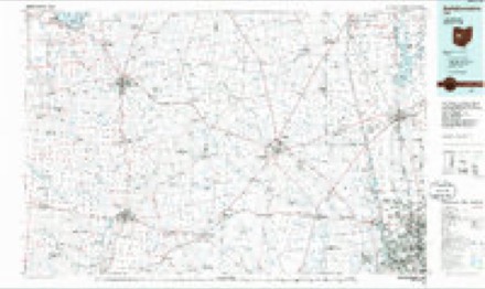
12 topographic sheets cover this place, the earliest surveyed in 1916 and the latest in 1992. It stands in Canaan Township. It lies in ZIP code area 43064. It stands on Sugar Run. The Survey maps it on the Plain City quadrangle. It stands 915 feet above sea level.
Then and now
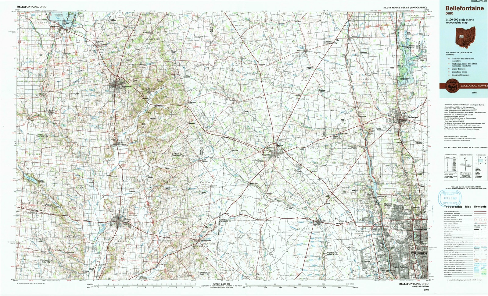
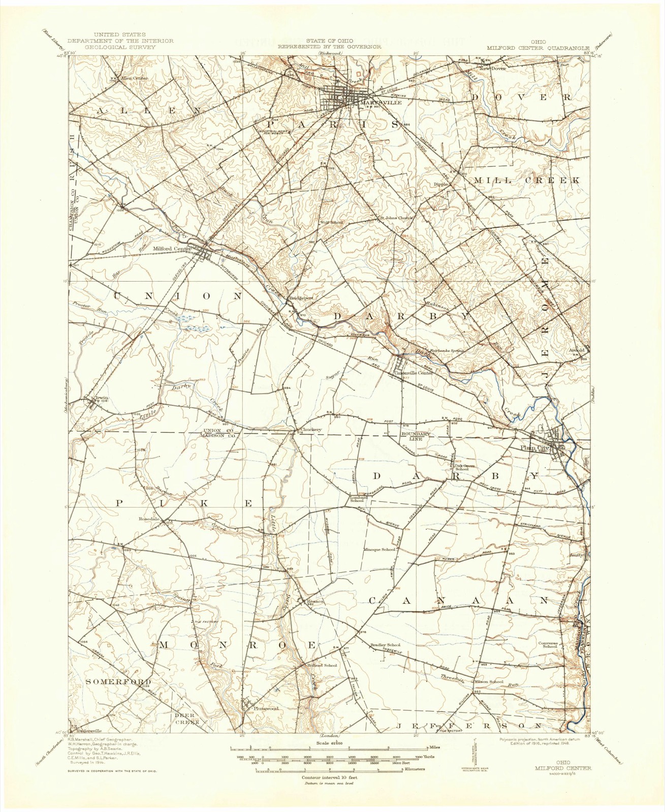
1916 to 1992The same ground, surveyed 76 years apart. Drag the handle to wipe between them. Both sheets are United States Geological Survey originals; neither has been altered.
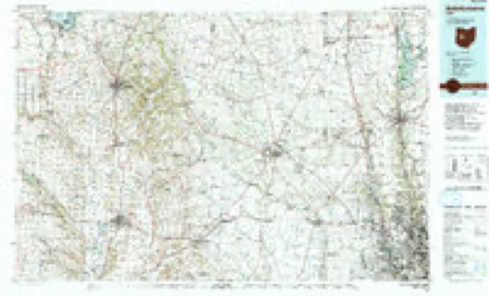
Topographic sheets covering this place
12 sheetsMatched by testing this settlement's coordinate against the published boundary of every sheet in the United States Geological Survey's historical collection. Each opens the scanned sheet at the Survey.
- 1916 USGS Milford Center quadrangle1:62500
- 1944 USGS Milford Center quadrangle1:62500
- 1950 USGS Marion quadrangle1:250000
- 1961 USGS Plain City quadrangle1:24000
- 1961 USGS Plain City quadrangle1:24000
- 1961 USGS Plain City quadrangle1:24000
- 1962 USGS Marion quadrangle1:250000
- 1966 USGS Marion quadrangle1:250000
- 1966 USGS Marion quadrangle1:250000
- 1966 USGS Marion quadrangle1:250000
- 1986 USGS Bellefontaine quadrangle1:100000
- 1992 USGS Bellefontaine quadrangle1:100000





In the county-history sources
12,402 words on this townshipHistory of Madison County, Ohio : Its People, Industries and Institution with Biographical Sketches of Representative Citizens and Genealogical Records of Many of the Old Families, published 1915 names this settlement in its chapter on Canaan Township. These are the passages that mention it, exactly as the scans read.
Luther Cary, who was born in New Jersey and in that state had married Rhoda Leonard, in an early day had emigrated to the Redstone country in Pennsylvania, from there down the Ohio river, settling first at or near Marietta, Ohio ; thence, in 1800, with his family, he moved to Madison county and located on the Big Darby on land just north of Amity, in Canaan township, where he lived until his death, October 8, 1834, at the ripe old age of seventy-four years. His wife died on May 15, 1846, at the still more advanced age of ninety-one years. Their children were: Benjamin, who married and settled near Wooster, Ohio, where he died; Luther, who settled in Miami county; Calvin, who married and settled at Cary, Ohio, giving that place its name ; Stephen, who married Catherine
Passage source: History of Madison County, Ohio : Its People, Industries and Institution with Biographical Sketches of Representative Citizens and Genealogical Records of Many of the Old Families, published 1915.
Johnson, and settled in this township, residing here until his death; Ephraim, who married Mathilda Gandy, settled in this township, but later moved to Union county, where he died; Jemima, who married Jacob Johnson, and settled in Jefferson township, where she died, and. subsequently, l'hebe, who had married John Davis, and was left a widow by his death, married Mr. Johnson; Lydia, who married John Johnson, and settled just below Amity, where they resided until about 1853, when they removed West; Rachel, who married Alexander McCullough, and settled near Amity, but afterward removed to I'utnam county, Ohio, where she died; Abijah, who married Catharine Johnson, and settled in this township, remaining here until his death. February 21. 1854, aged seventythree years; his wife died February 4. 1851. in the sixty-fifth year of her age. They had the following children : Mary. Solomon, Absalom, Sarah, Rlioda, Abram, Rachel, Eliza and Lucinda ; all grew to maturity, married and raised families, and all were prosperous and good citizens of Madison county, most of them becoming members of the Presbyterian church and honored and respected citizens of the community. Abijah Cary was born on March G, 1781, and, when a lad of nineteen years, came to this county with his parents. He was a man of remarkable industry and passed through all the arduous and dangerous trials of the pioneer days.
Passage source: History of Madison County, Ohio : Its People, Industries and Institution with Biographical Sketches of Representative Citizens and Genealogical Records of Many of the Old Families, published 1915.
Nahum King, a native of Vermont, married Sarrepta Norton, and settled on tin' land later known as the Moore farm, wlieence he removed and settled below Amity. About 1837-38 he went to Missouri and in 1844 to Oregon, where he died. He was one of the prominent men of this township during his residence here: very intelligent and well infoimed. and tilled to the satisfaction of all several offices of the township.
Passage source: History of Madison County, Ohio : Its People, Industries and Institution with Biographical Sketches of Representative Citizens and Genealogical Records of Many of the Old Families, published 1915.
Machine-read from a century-old scan, so expect the errors a machine makes: misspelled names, dropped words, stray characters.
Read the whole chapter on Canaan Township - it names this place 24 more 24 times.
Specimens collected near this place
12 of 239 shownRegional context, not property-specific evidence. Museums hold 239 specimens collected within 10 miles of Amity between 1921 and 1975: 237 Animalia, 2 Plantae. 12 distinct Species records are shown. Collected by Bowen, C. A. (Charles A.), Bozeman, M. (Marty), Carter, B. (Bruce) and others. Each is a physical object with a catalogue number, and each entry opens the museum's record. This is what was collected and kept, not a survey of what lives here - nothing can be concluded from a species being absent.
| Image | Species | Year | Collected by | Where, as recorded |
|---|---|---|---|---|
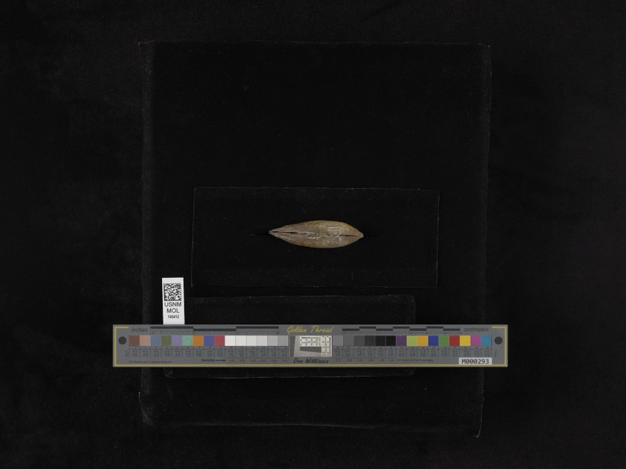 | Elliptio dilatatus (Rafinesque, 1820) | 1964 | Ziehut & Acton | Big Darby Creek, 1 mi S of West-Jefferson, Jefferson Township |
 | Lepidozia sylvatica A.Evans | 1921 | Mrs. B. R. Taylor | West Jefferson |
 | Odontoschisma prostratum (Sw.) Trevis. | 1921 | Mrs. B. R. Taylor | West Jefferson |
 | Etheostoma caeruleum Storer, 1845 | 1927 | Wickliff, E. L. (Edward L.) | Big Darby Creek, within Darby township, near Plain City, Darby township |
 | Etheostoma flabellare flabellare Rafinesque, 1819 | 1927 | Wickliff, E. L. (Edward L.) | Big Darby Creek, within Darby township, near Plain City, Darby township |
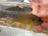 | Lepomis megalotis (Rafinesque, 1820) | 1927 | not recorded | Big Darby Creek, within Madison Co, Franklin County, township n/a |
 | Pimephales promelas promelas Rafinesque, 1820 | 1927 | Wickliff, E. L. (Edward L.) | Big Darby Creek, within Darby township, near Plain City, Darby township |
 | Rhinichthys atratulus meleagris Agassiz, 1854 | 1927 | Wickliff, E. L. (Edward L.) | Big Darby Creek, within Darby township, near Plain City, Darby township |
 | Campostoma anomalum anomalum | 1928 | Trautman, M. B. (Milton Bernard) | Big Darby Creek tributary, within Darby township, near Plain City, Darby township |
 | Catostomus commersonii (Lacepède, 1803) | 1928 | Trautman, M. B. (Milton Bernard) | Big Darby Creek tributary, within Canaan township, near Plain City, Canaan township |
 | Ericymba buccata Cope, 1865 | 1928 | Trautman, M. B. (Milton Bernard) | Big Darby Creek tributary, within Darby township, near Plain City, Darby township |
 | Etheostoma spectabile (Agassiz, 1854) | 1928 | Trautman, M. B. (Milton Bernard) | Big Darby Creek tributary, within Darby township, near Plain City, Darby township |
All 239 specimens within 10 miles, at the Global Biodiversity Information Facility.
Mines and quarries near this place
3 within 5 milesRegional context, not property-specific evidence. The federal mineral resources record lists 3 workings within 5 miles of Amity: 2 past producers, 1 producer. 1 still produces. What was taken out: Stone, Crushed/Broken, Limestone, General, Sand and Gravel, Construction. Distance is straight-line from the map coordinates, so a quarry counted here may appear on a neighbouring settlement's page as well.
| Where | Site | Commodity | Status | Recorded |
|---|---|---|---|---|
| Darby Number 220 Limestone Quarry | Limestone, General | Past Producer | Sedimentary | |
| Olen Pit | Sand and Gravel, Construction, Stone, Crushed/Broken | Producer | ||
| Darby Number 220 Limestone Quarry | Stone, Crushed/Broken | Past Producer |
Storms near this place
4 since 2007Regional context, not property-specific evidence. The National Weather Service names Amity in 4 storm reports between 2007 and 2023: 2 thunderstorm wind, 1 hail, 1 tornado. No death or injury is recorded in these reports. Each account below is quoted exactly as the forecast office filed it, from the NOAA Storm Events Database, and each date opens the federal record of that event.
| When | Event | Place named | Harm | What the report says |
|---|---|---|---|---|
| May 2018 | Thunderstorm Wind | Amity | $2,000 | Two trees were downed. |
| August 2007 | Thunderstorm Wind | Amity | $2,000 | Large tree limbs were downed. |
| September 2023 | Tornado (EF0) | Amity | $1,000 | A landspout briefly touched down in the backyard of a residence and caused minor damage to an outbuilding and playground equipment. |
| May 2018 | Hail | Amity | - | no account filed |
Nearest settlements
The eight closest, with where each one stands in the county. Distances are straight-line, computed from the Geographic Names Information System coordinates.
| Map | Place | Distance | Sheets |
|---|---|---|---|
| Plain City | 2.8 miles | 12 | |
| Kileville | 3.3 miles | 16 | |
| Gillivan | 7.1 miles | 13 | |
| Resaca | 7.4 miles | 10 | |
| West Jefferson | 8.6 miles | 13 | |
| Oakwood Acres | 8.9 miles | 13 | |
| Roberts (historical) | 9.2 miles | 13 | |
| Hidden Creek At The Darby | 9.4 miles | 13 |
Elsewhere
Matched on this settlement's Geographic Names Information System number rather than its name, so it cannot be a different place of the same name in another state.
| Wikipedia article on Amity | An encyclopaedic summary. Its text is share-alike, so it is linked here rather than copied. |
| Wikidata item Q4746952 | The structured record the population and elevation above come from. Public domain (CC0). |
Provenance
This settlement is recorded in the Geographic Names Information System as feature 1077516. The sheet list is computed by point-in-boundary test against the United States Geological Survey's historical topographic inventory. Both are works of the United States government and carry no copyright under 17 U.S.C. 105.
Specimens. Global Biodiversity Information Facility (GBIF), https://www.gbif.org/. Only records licensed CC0 or CC BY are used. Records licensed CC BY-NC are excluded because this site carries advertising. Images are checked individually and any whose licence is non-commercial, no-derivatives or unreadable is refused.
Mines and quarries. USGS Mineral Resources Data System (MRDS) https://mrdata.usgs.gov/mrds/ A work of the United States government, no copyright under 17 U.S.C. 105.
Storms. NOAA National Centers for Environmental Information, Storm Events Database https://www.ncei.noaa.gov/stormevents/ A work of the United States government, no copyright under 17 U.S.C. 105. Narratives are quoted verbatim from the National Weather Service report and are not edited or summarised.