 Block
Block
Appleton, Ohio
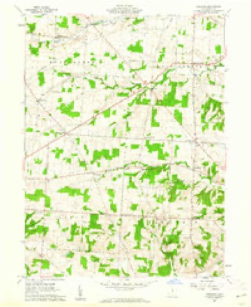
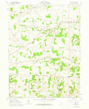
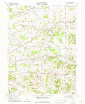
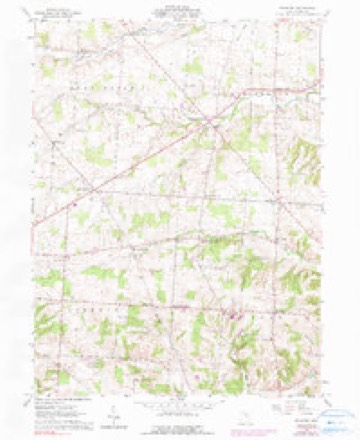
11 topographic sheets cover this place, the earliest surveyed in 1908 and the latest in 1966. It stands in Bennington Township. It lies in ZIP code area 43031. The Survey maps it on the Fredonia quadrangle.
Then and now
1908 to 1966The same ground, surveyed 58 years apart. Drag the handle to wipe between them. Both sheets are United States Geological Survey originals; neither has been altered.
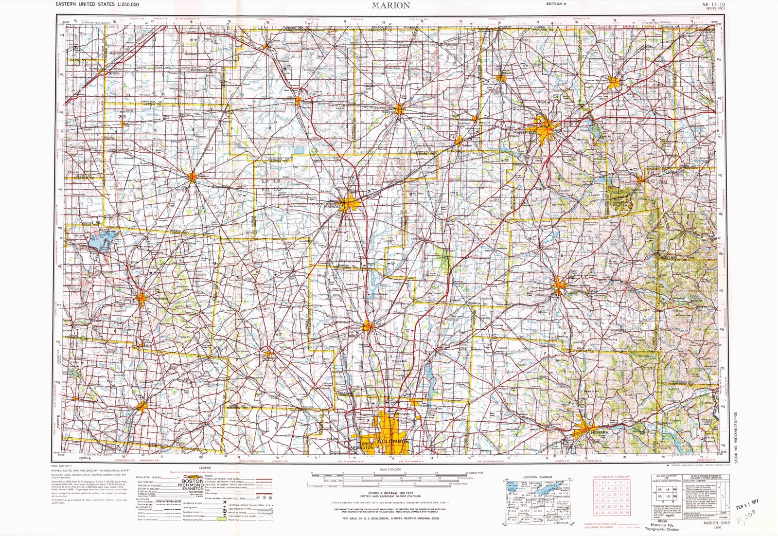
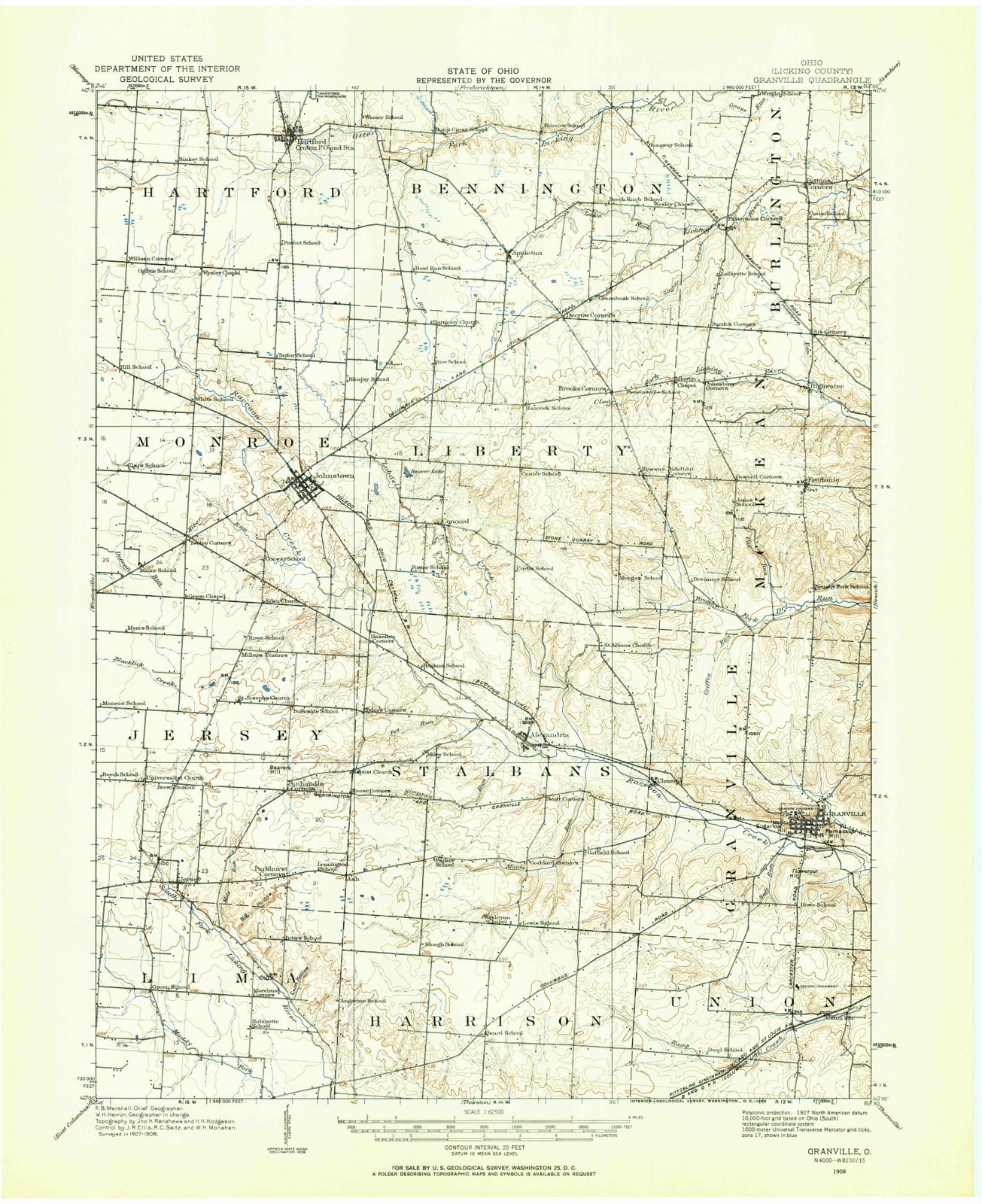
Topographic sheets covering this place
11 sheetsMatched by testing this settlement's coordinate against the published boundary of every sheet in the United States Geological Survey's historical collection. Each opens the scanned sheet at the Survey.
- 1908 USGS Granville quadrangle1:62500
- 1910 USGS Granville quadrangle1:62500
- 1950 USGS Marion quadrangle1:250000
- 1961 USGS Fredonia quadrangle1:24000
- 1961 USGS Fredonia quadrangle1:24000
- 1961 USGS Fredonia quadrangle1:24000
- 1961 USGS Fredonia quadrangle1:24000
- 1962 USGS Marion quadrangle1:250000
- 1966 USGS Marion quadrangle1:250000
- 1966 USGS Marion quadrangle1:250000
- 1966 USGS Marion quadrangle1:250000





Specimens collected nearby
12 of 1,373 shownMuseums hold 1,373 specimens collected within 10 miles of Appleton between 1881 and 1975: 1,343 Animalia, 19 Fungi, 11 Plantae. 12 distinct Species records are shown. Collected by A. P. Morgan, A. P. Morgan; Ellis, A. R. Elliott and others. Each is a physical object with a catalogue number, and each entry opens the museum's record. This is what was collected and kept, not a survey of what lives here - nothing can be concluded from a species being absent.
| Image | Species | Year | Collected by | Where, as recorded |
|---|---|---|---|---|
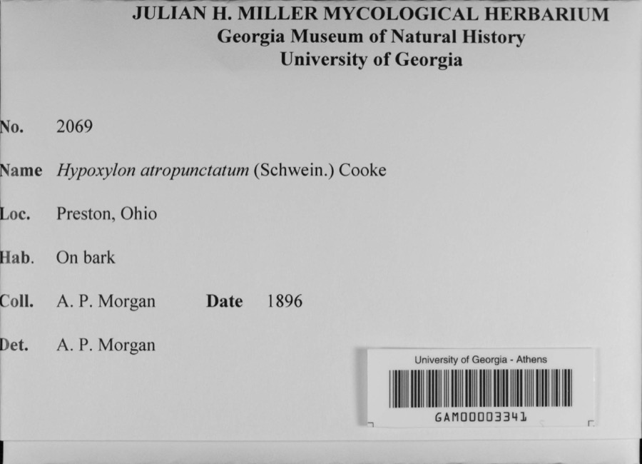 | Hypoxylon atropunctatum (Schwein.) Cooke | 1896 | A. P. Morgan | Preston |
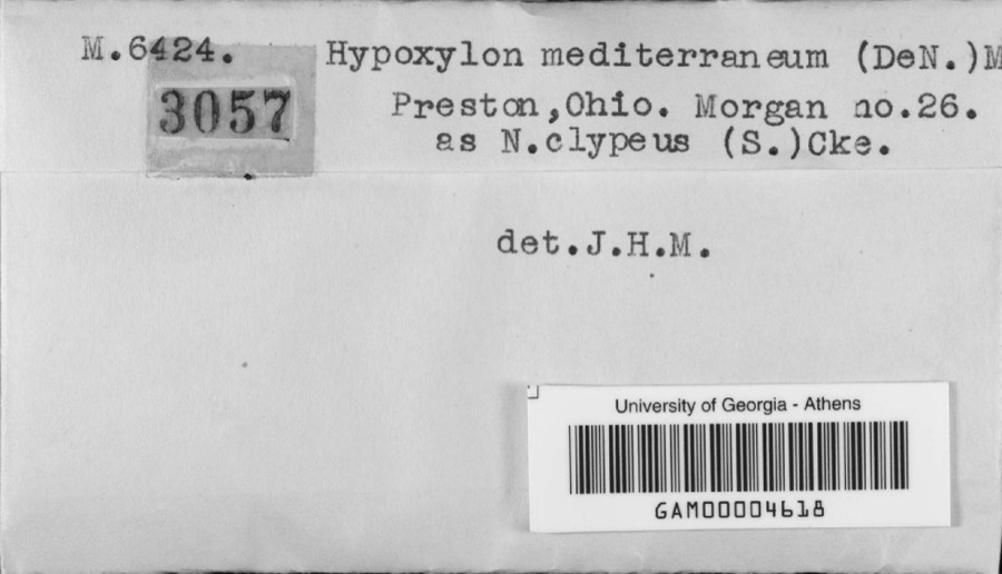 | Hypoxylon mediterraneum (De Not.) Ces. & De Not. | 1896 | A. P. Morgan | Preston |
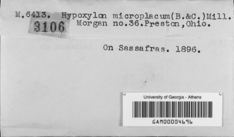 | Hypoxylon microplacum (Berk. & M.A.Curtis) J.H.Mill. | 1896 | A. P. Morgan | Preston |
 | Semotilus atromaculatus (Mitchill, 1818) | 1863 | not recorded | USA, NNO-, OHIO*, GHOTA RIVER , |
 | Melanitta nigra americana (Swainson, 1832) | 1881 | not recorded | Ohio, USA |
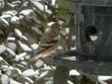 | Spinus tristis (Linnaeus, 1758) | 1885 | Jones, J. (Jesse) | Ohio, USA |
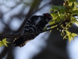 | Picoides pubescens medianus (Swainson, 1832) | 1886 | not recorded | Ohio, USA |
 | Colaptes auratus luteus Bangs, 1898 | 1888 | not recorded | Ohio, USA |
 | Erigeron strigosus Muhl. ex Willd. | 1888 | E. Barrick | Fredonia |
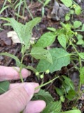 | Solanum emulans Raf. | 1888 | E. Barrick | Fredonia |
 | Puccinia seymeriae Burrill | 1890 | not recorded | Alexandria |
 | Sturnella magna magna (Linnaeus, 1758) | 1893 | N. G. Buxton | Johnstown |
All 1,373 specimens within 10 miles, at the Global Biodiversity Information Facility.
Storms nearby
6 since 2014The National Weather Service names Appleton in 6 storm reports between 2014 and 2021: 2 hail, 2 thunderstorm wind, 1 tornado, 1 flash flood. No death or injury is recorded in these reports. Each account below is quoted exactly as the forecast office filed it, from the NOAA Storm Events Database, and each date opens the federal record of that event.
| When | Event | Place named | Harm | What the report says |
|---|---|---|---|---|
| March 2020 | Flash Flood | Appleton | $3,000 | A water rescue occurred near the intersection of Van Fossen Road and Shipley Road. |
| June 2021 | Thunderstorm Wind | Appleton | $1,000 | A tree was downed onto Cooper Road near Appleton Road. |
| May 2019 | Thunderstorm Wind | Appleton | $1,000 | Two small trees were downed along with several large branches from larger trees. |
| August 2014 | Tornado (EF0) | Appleton | - | Video from the public confirmed a very brief and weak tornado on the ground for a few seconds with minimal damage. |
| August 2017 | Hail | Appleton | - | no account filed |
| August 2017 | Hail | Appleton | - | no account filed |
Nearest settlements
The eight closest, with where each one stands in the county. Distances are straight-line, computed from the Geographic Names Information System coordinates.
| Map | Place | Distance | Sheets |
|---|---|---|---|
| Decrow Corners | 1.4 miles | 11 | |
| Barrick Corners | 3.7 miles | 11 | |
| Cokesbury Corners | 4.0 miles | 11 | |
| Lock | 4.3 miles | 10 | |
| New Way | 4.4 miles | 11 | |
| Croton | 4.5 miles | 11 | |
| Concord | 4.7 miles | 11 | |
| Pattons Corners | 5.3 miles | 11 |
Elsewhere
Matched on this settlement's Geographic Names Information System number rather than its name, so it cannot be a different place of the same name in another state.
| Wikipedia article on Appleton | An encyclopaedic summary. Its text is share-alike, so it is linked here rather than copied. |
| Wikidata item Q22033082 | The structured record the population and elevation above come from. Public domain (CC0). |
Provenance
This settlement is recorded in the Geographic Names Information System as feature 1037457. The sheet list is computed by point-in-boundary test against the United States Geological Survey's historical topographic inventory. Both are works of the United States government and carry no copyright under 17 U.S.C. 105.
Specimens. Global Biodiversity Information Facility (GBIF), https://www.gbif.org/. Only records licensed CC0 or CC BY are used. Records licensed CC BY-NC are excluded because this site carries advertising. Images are checked individually and any whose licence is non-commercial, no-derivatives or unreadable is refused.
Storms. NOAA National Centers for Environmental Information, Storm Events Database https://www.ncei.noaa.gov/stormevents/ A work of the United States government, no copyright under 17 U.S.C. 105. Narratives are quoted verbatim from the National Weather Service report and are not edited or summarised.