 Block
Block
Atwater, Ohio
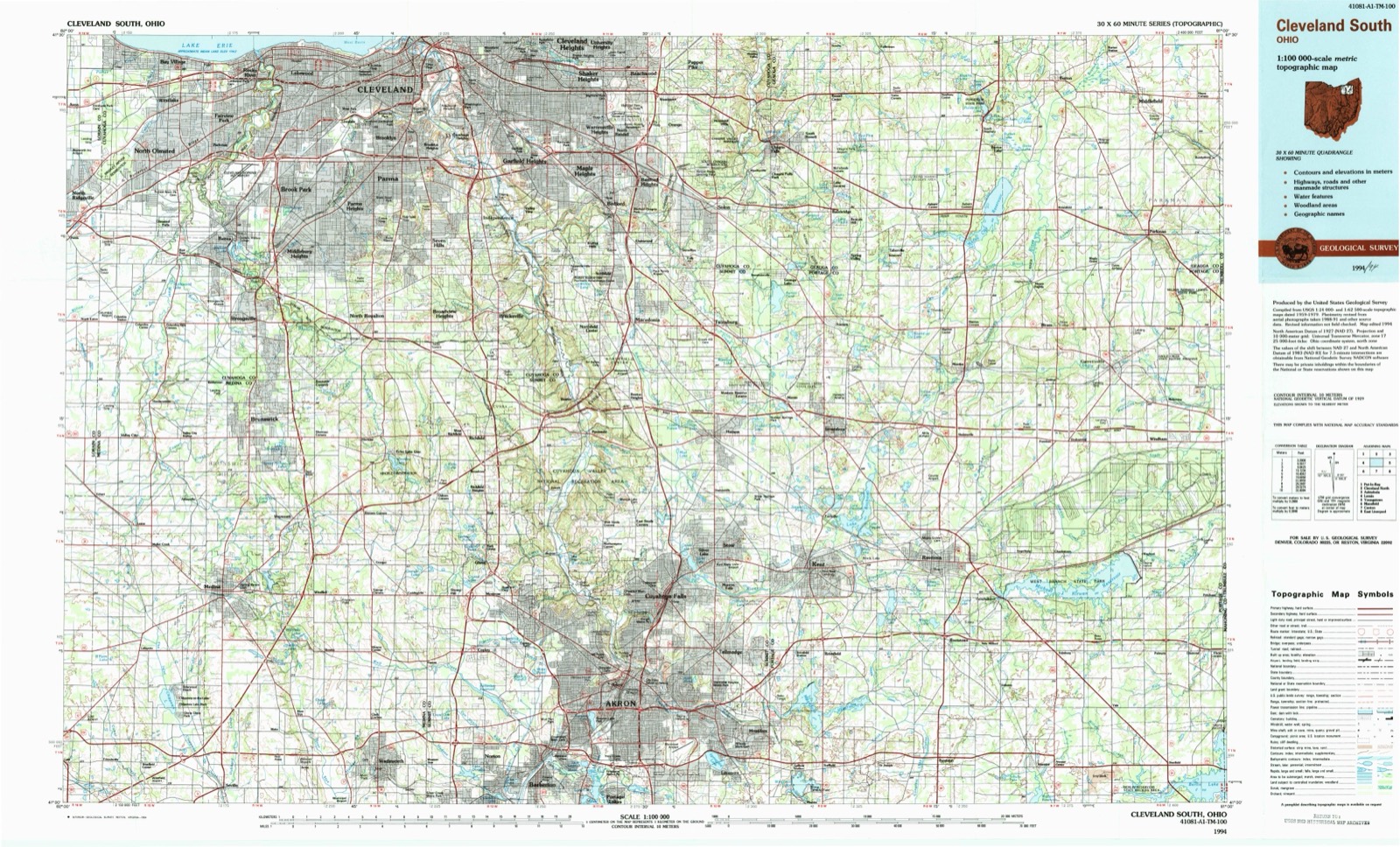
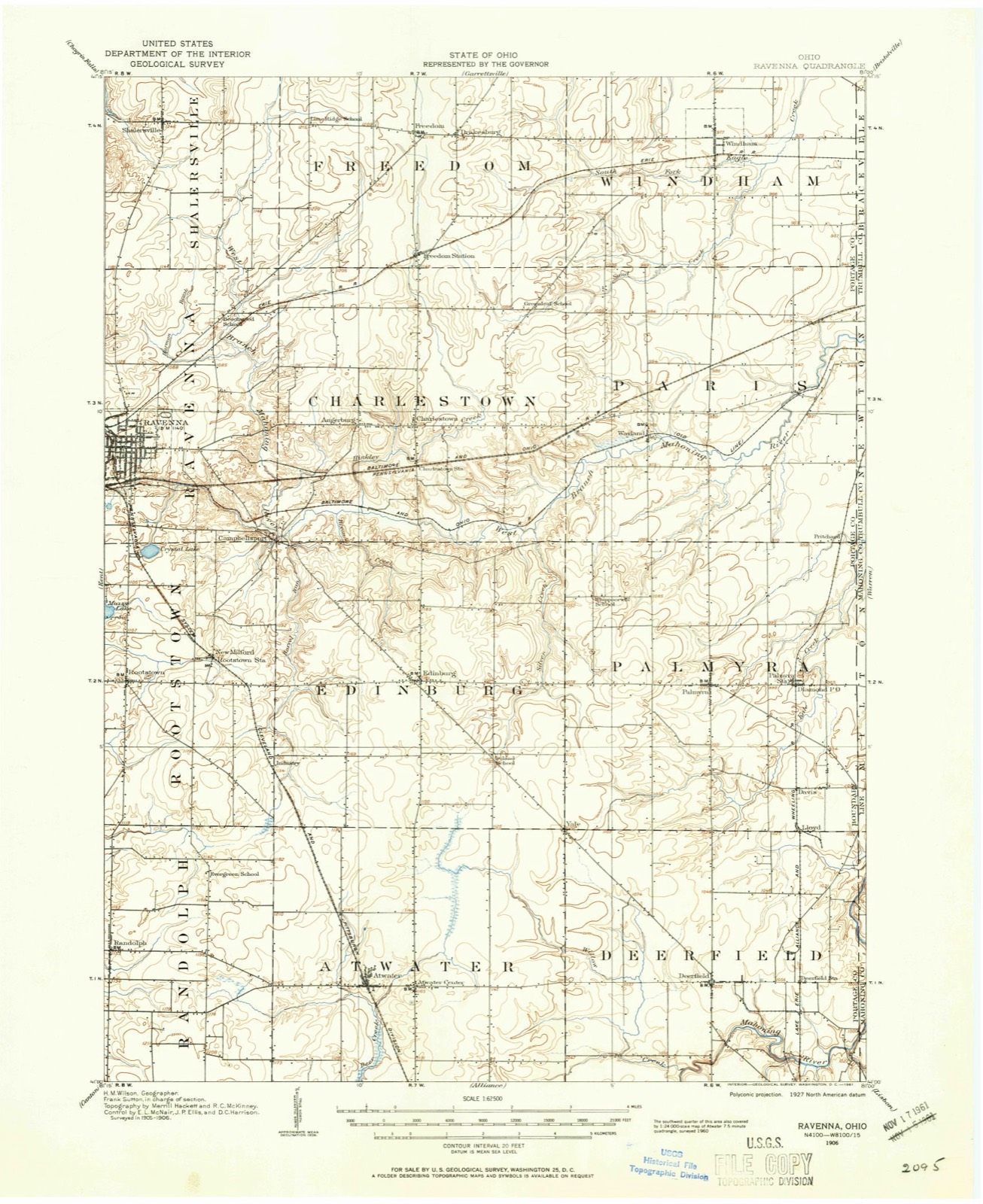
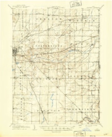
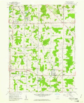
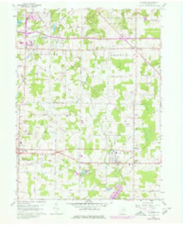
18 topographic sheets cover this place, the earliest surveyed in 1906 and the latest in 1994. It stands in Atwater Township. It lies in ZIP code area 44201. The Survey maps it on the Atwater quadrangle. 776 people lived here at the 2020 count.
Population over time
2 figuresAtwater grew from 758 to 776 between 2010 and 2020. These are the recorded population figures Wikidata holds for this place, reached through the Geographic Names Information System number this page is keyed on rather than by name, so they belong to this place and not to another of the same name. Most are census counts, but not all are: an early figure may be a founding or settlement estimate. The change column is computed, and is left blank where more than 20 years separate a figure from the one before it, because a gap that long is not a change between two counts.
| Year | People | Change |
|---|---|---|
| 2010 | 758 | |
| 2020 | 776 | +18 (+2%) |
Then and now
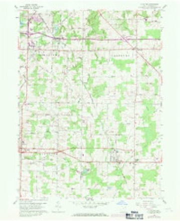
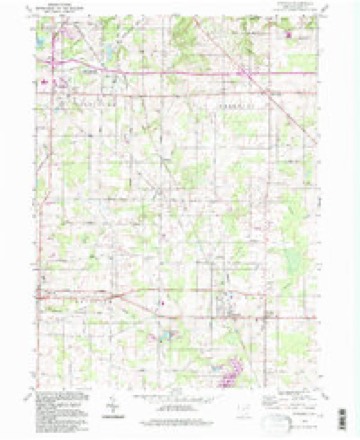
1906 to 1994The same ground, surveyed 88 years apart. Drag the handle to wipe between them. Both sheets are United States Geological Survey originals; neither has been altered.
Topographic sheets covering this place
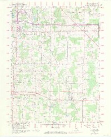
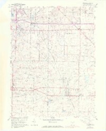
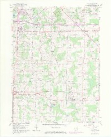
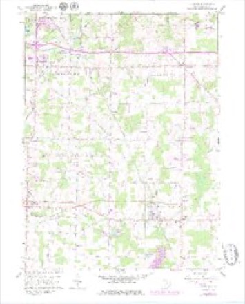
18 sheetsMatched by testing this settlement's coordinate against the published boundary of every sheet in the United States Geological Survey's historical collection. Each opens the scanned sheet at the Survey.
- 1906 USGS Ravenna quadrangle1:62500
- 1908 USGS Ravenna quadrangle1:62500
- 1908 USGS Ravenna quadrangle1:62500
- 1956 USGS Cleveland quadrangle1:250000
- 1956 USGS Cleveland quadrangle1:250000
- 1956 USGS Cleveland quadrangle1:250000
- 1960 USGS Atwater quadrangle1:24000
- 1960 USGS Atwater quadrangle1:24000
- 1960 USGS Atwater quadrangle1:24000
- 1960 USGS Atwater quadrangle1:24000
- 1960 USGS Atwater quadrangle1:24000
- 1960 USGS Atwater quadrangle1:24000
- 1960 USGS Atwater quadrangle1:24000
- 1960 USGS Atwater quadrangle1:24000
- 1962 USGS Cleveland quadrangle1:250000
- 1986 USGS Cleveland South quadrangle1:100000
- 1994 USGS Atwater quadrangle1:24000
- 1994 USGS Cleveland South quadrangle1:100000






In the county-history sources
4,882 words on this townshipHistory of Portage County, Ohio, published 1885 names this settlement in its chapter on Atwater Township. These are the passages that mention it, exactly as the scans read.
In April, 1799, Capt. Caleb Atwater, in company with Jonathan Merrick, Peter Bunnell, Asahel Blakesley and Asa Hall and his wife, left Wallingford, Conn., and after a long and tedious journey arrived in what is now the township of Atwater. The entire party remained till the following fall, when they all returned to the East with the exception of Asa Hall and wife, who came for permanent settlement, and having put up a cabin during the spring, settled down to make themselves as comfortable as the circumstances would admit, and from that time till the spring of 1801 they were the only white persons living in the township; in fact, there were only six or seven other settlers in the entire county, there being one in Mantua, one in Ravenna, one in Aurora, one or two in Deerfield, and one in Palmyra; his nearest neighbor being Lewis Ely, in Deerfield.
Passage source: History of Portage County, Ohio, published 1885.
As soon as the party of Capt. Atwater arrived they began surveying the township into lots and laying out roads, and many were the hardships encountered by those hardy old adventurers, but they were made of the material and had the wills to withstand all the privations with which they came in contact. Shortly after their arrival the horses of the party broke loose and ran off into the dense forest. Jonathan Merrick started after them in the morning, but soon became lost in the woods, and wandered around till evening, when he found himself on the banks of the Mahoning, near the southeast corner of the township. The next day he continued his search, but with no luck, and still not knowing exactly where he was, but on the third day had better success, reaching camp in the afternoon. He was almost exhausted with fatigue and hunger, and had been given up by his companions, who thought he must have been devoured by wild beasts, or killed by some roving band of Indians.
Passage source: History of Portage County, Ohio, published 1885.
An event occurred early in 1800 that enlivened matters considerably in the Hall household. A child was born, and this first little visitor was named Atwater, in honor of the proprietor. This was the first birth in the county.
Passage source: History of Portage County, Ohio, published 1885.
Machine-read from a century-old scan, so expect the errors a machine makes: misspelled names, dropped words, stray characters.
Read the whole chapter on Atwater Township - it names this place 21 more 21 times.
Photographs
1 photograph,Taken for the Office of War Information and the Farm Security Administration, who photographed the country between 1935 and 1944. Works of United States government photographers, with no known restriction on use. Each opens its catalogue record.
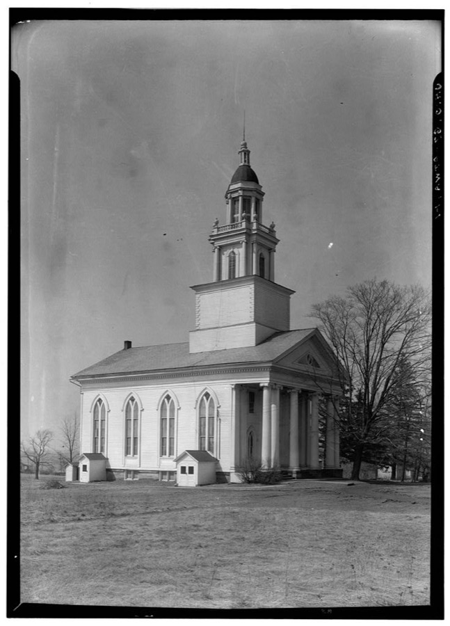
Unattributed, . Library of Congress
Specimens collected near this place
12 of 123 shownRegional context, not property-specific evidence. Museums hold 123 specimens collected within 10 miles of Atwater between 1880 and 1975: 105 Animalia, 11 Fungi, 6 Plantae, 1 Unrecorded. 12 distinct Species records are shown. Collected by Allen, E. J., B. J. Crandall, B.J.Crandall and others. Each is a physical object with a catalogue number, and each entry opens the museum's record. This is what was collected and kept, not a survey of what lives here - nothing can be concluded from a species being absent.
| Image | Species | Year | Collected by | Where, as recorded |
|---|---|---|---|---|
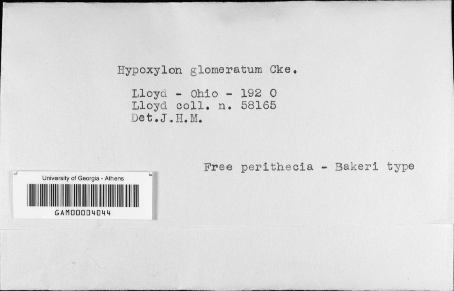 | Hypoxylon glomeratum Cooke | 1920 | C. G. Lloyd | Lloyd |
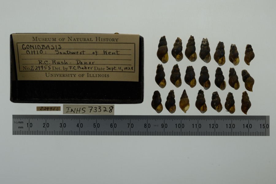 | Elimia H.Adams & A.Adams, 1854 | 1928 | not recorded | Congress Lake Outlet, SW of Kent, North America |
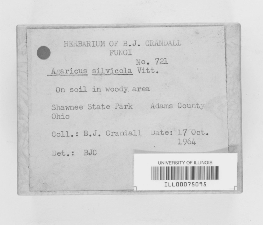 | Agaricus sylvicola (Vittad.) Peck | 1964 | B. J. Crandall | Shawnee State Park |
 | Icterus galbula (Linnaeus, 1758) | 1880 | Collection of R. Spires | Atwater, Near |
 | Lepidozia reptans (L.) Dumort. | 1884 | Czekaj | |
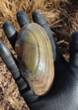 | Pyganodon cataracta (Say, 1817) | 1894 | Sterki, Victor | Rootstown, Congress Lake Outlet and Cuyahoga River(pond to) |
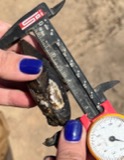 | Sagittunio nasutus (Say, 1817) | 1894 | Sterki, Victor | Rootstown |
 | Entodon seductrix (Hedw.) Müll.Hal. | 1899 | W. A. Kellerman | Edinburgh |
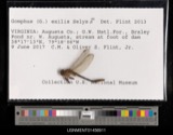 | Gomphus exilis Selys, 1854 | 1900 | E. Williamson | [Not Stated] |
 | Colletotrichum graminicola (Ces.) G.W.Wilson | 1908 | Selby A. D. | Atwater |
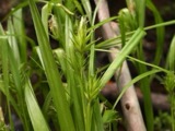 | Carex folliculata L. | 1910 | Webb, R.J. | Muzzy Lake |
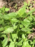 | Scutellaria lateriflora L. | 1910 | Webb, R.J. | Muzzy Lake |
All 123 specimens within 10 miles, at the Global Biodiversity Information Facility.
Mines and quarries near this place
1 within 5 milesRegional context, not property-specific evidence. The federal mineral resources record lists 1 working within 5 miles of Atwater: 1 producer. All of them still produce. What was taken out: Sand and Gravel, Construction. Distance is straight-line from the map coordinates, so a quarry counted here may appear on a neighbouring settlement's page as well.
| Where | Site | Commodity | Status | Recorded |
|---|---|---|---|---|
| Deerfield Pit | Sand and Gravel, Construction | Producer |
Storms near this place
20 since 2002Regional context, not property-specific evidence. The National Weather Service names Atwater in 20 storm reports between 2002 and 2021: 10 hail, 9 thunderstorm wind, 1 flood. No death or injury is recorded in these reports. Each account below is quoted exactly as the forecast office filed it, from the NOAA Storm Events Database, and each date opens the federal record of that event.
| When | Event | Place named | Harm | What the report says |
|---|---|---|---|---|
| June 2007 | Hail | Atwater | $250,000 | Golf ball size hail was observed. Many homes and vehicles were damaged by the hail. |
| June 2007 | Hail | Atwater | $100,000 | Golf ball size hail was observed. Many homes and vehicles were damaged by the hail. Some crop damage was also reported. |
| July 2007 | Thunderstorm Wind | Atwater | $15,000 | Numerous trees were reported down. |
| September 2010 | Thunderstorm Wind | Atwater | $10,000 | Thunderstorm winds downed some large trees. |
| August 2003 | Thunderstorm Wind | Atwater | $10,000 | Thunderstorm winds downed several trees east of Atwater. |
| May 2002 | Thunderstorm Wind | Atwater | $8,000 | Thunderstorm winds downed several trees. |
| August 2007 | Thunderstorm Wind | Atwater | $6,000 | Several trees were reported down. |
| June 2005 | Thunderstorm Wind | Atwater | $4,000 | Two trees were reported down. |
| August 2014 | Thunderstorm Wind | Atwater | $2,000 | Thunderstorm winds downed a couple of large tree limbs. |
| July 2002 | Hail | Atwater | $2,000 | Dime size hail was observed. |
| June 2002 | Hail | Atwater | $2,000 | Dime size hail was observed. |
| July 2021 | Thunderstorm Wind | Atwater | - | Many trees downed in vicinity of Petrie, Laubert, and German Church Roads. |
| July 2012 | Hail | Atwater | - | Quarter sized hail was observed. |
| June 2011 | Hail | Atwater | - | Penny sized hail was observed. |
| August 2011 | Hail | Atwater | - | Nickel sized hail was observed. |
| May 2011 | Flood | Atwater | - | Showers and thunderstorms along a stationary front brought around 1.5 of rainfall to Portage County. Recent rain prevented the ground from absorbing much if any of this rain, resulting in almost complete runoff. Several streets were inundated with as much as a foot of water, and the Atwater Water Treatment Plant experienced flooding. |
| September 2010 | Hail | Atwater | - | Thunderstorms produced hail ranging from dime to quarter size. |
| April 2008 | Hail | Atwater | - | Penny size hail was observed. |
| July 2003 | Thunderstorm Wind | Atwater | - | A 62 mph thunderstorm wind gust was measured in Atwater. |
| May 2019 | Hail | Atwater | - | no account filed |
Nearest settlements
The eight closest, with where each one stands in the county. Distances are straight-line, computed from the Geographic Names Information System coordinates.
| Map | Place | Distance | Sheets |
|---|---|---|---|
| Atwater Center | 0.8 miles | 18 | |
| Countrywide Estates | 1.1 miles | 18 | |
| Five Corners | 1.7 miles | 18 | |
| Industry | 4.0 miles | 18 | |
| Yale | 4.4 miles | 14 | |
| All Seasons Lake Park | 4.5 miles | 14 | |
| Randolph | 4.5 miles | 18 | |
| Edinburg | 5.3 miles | 18 |
Elsewhere
Matched on this settlement's Geographic Names Information System number rather than its name, so it cannot be a different place of the same name in another state.
| Wikipedia article on Atwater | An encyclopaedic summary. Its text is share-alike, so it is linked here rather than copied. |
| Wikidata item Q4818825 | The structured record the population and elevation above come from. Public domain (CC0). |
Provenance
This settlement is recorded in the Geographic Names Information System as feature 1060834. The sheet list is computed by point-in-boundary test against the United States Geological Survey's historical topographic inventory. Both are works of the United States government and carry no copyright under 17 U.S.C. 105.
Specimens. Global Biodiversity Information Facility (GBIF), https://www.gbif.org/. Only records licensed CC0 or CC BY are used. Records licensed CC BY-NC are excluded because this site carries advertising. Images are checked individually and any whose licence is non-commercial, no-derivatives or unreadable is refused.
Mines and quarries. USGS Mineral Resources Data System (MRDS) https://mrdata.usgs.gov/mrds/ A work of the United States government, no copyright under 17 U.S.C. 105.
Storms. NOAA National Centers for Environmental Information, Storm Events Database https://www.ncei.noaa.gov/stormevents/ A work of the United States government, no copyright under 17 U.S.C. 105. Narratives are quoted verbatim from the National Weather Service report and are not edited or summarised.