 Block
Block
Edinburg, Ohio
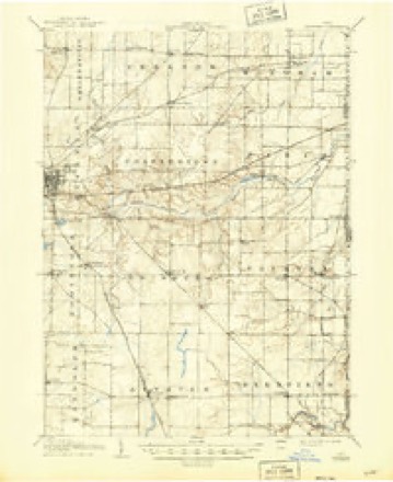
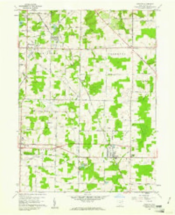
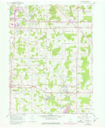
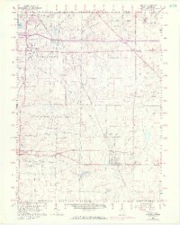
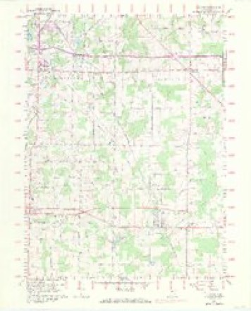
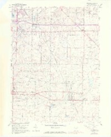
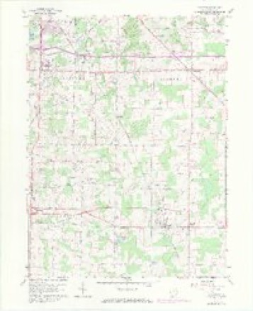
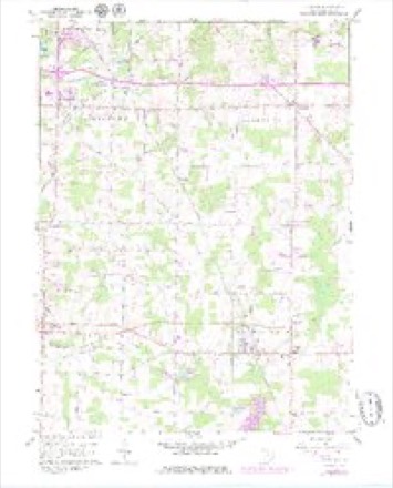
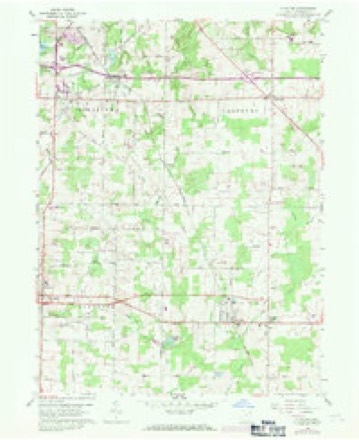
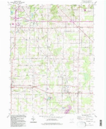
18 topographic sheets cover this place, the earliest surveyed in 1906 and the latest in 1994. It stands in Edinburg Township. It lies in ZIP code area 44272. The Survey maps it on the Atwater quadrangle.
Then and now
1906 to 1994The same ground, surveyed 88 years apart. Drag the handle to wipe between them. Both sheets are United States Geological Survey originals; neither has been altered.
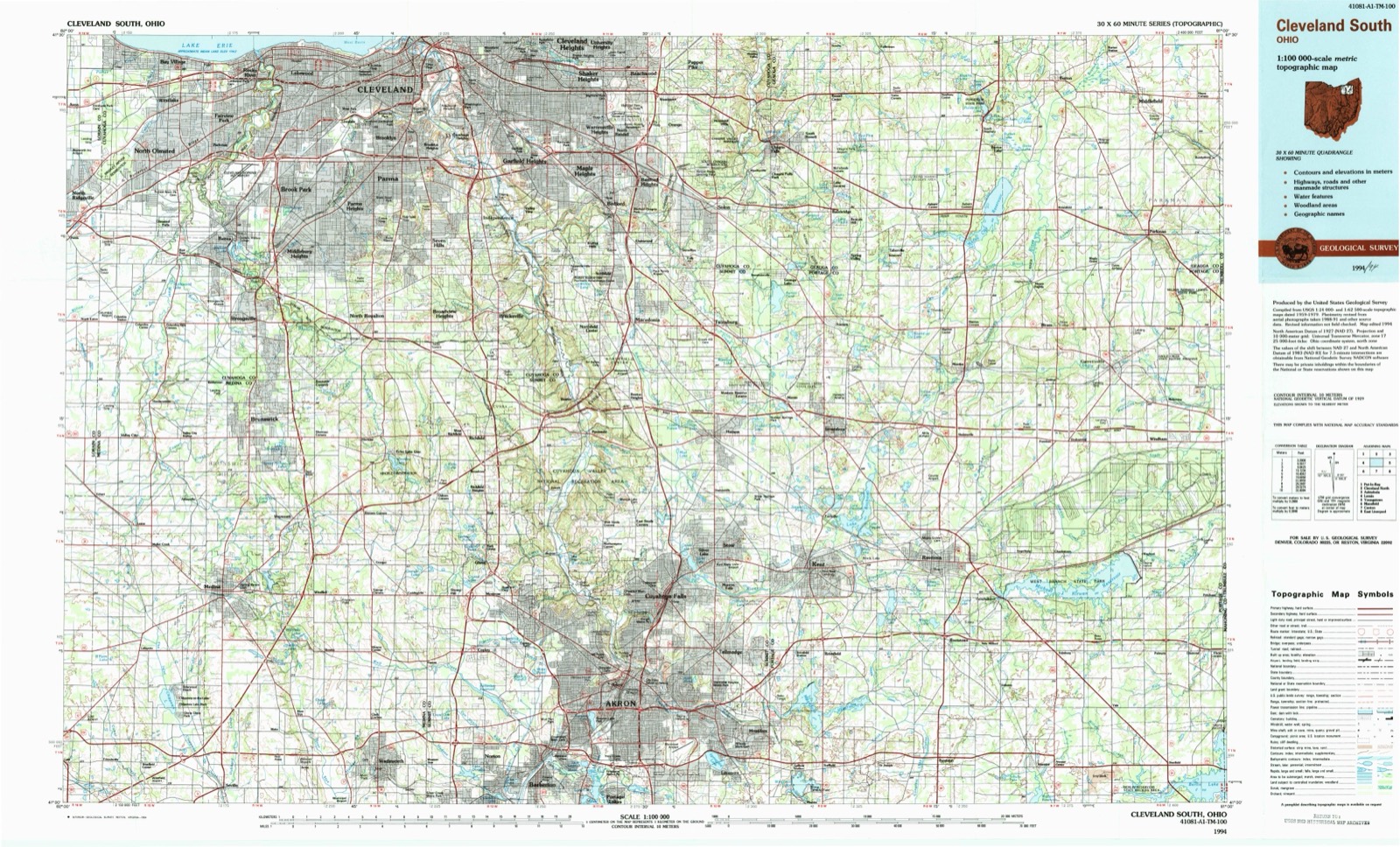
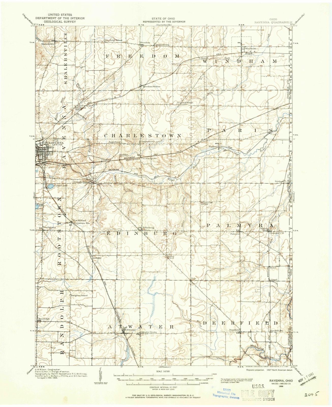
Topographic sheets covering this place
18 sheetsMatched by testing this settlement's coordinate against the published boundary of every sheet in the United States Geological Survey's historical collection. Each opens the scanned sheet at the Survey.
- 1906 USGS Ravenna quadrangle1:62500
- 1908 USGS Ravenna quadrangle1:62500
- 1908 USGS Ravenna quadrangle1:62500
- 1956 USGS Cleveland quadrangle1:250000
- 1956 USGS Cleveland quadrangle1:250000
- 1956 USGS Cleveland quadrangle1:250000
- 1960 USGS Atwater quadrangle1:24000
- 1960 USGS Atwater quadrangle1:24000
- 1960 USGS Atwater quadrangle1:24000
- 1960 USGS Atwater quadrangle1:24000
- 1960 USGS Atwater quadrangle1:24000
- 1960 USGS Atwater quadrangle1:24000
- 1960 USGS Atwater quadrangle1:24000
- 1960 USGS Atwater quadrangle1:24000
- 1962 USGS Cleveland quadrangle1:250000
- 1986 USGS Cleveland South quadrangle1:100000
- 1994 USGS Atwater quadrangle1:24000
- 1994 USGS Cleveland South quadrangle1:100000






In the county-history sources
15,190 words on this townshipHistory of Portage County, Ohio, published 1885 names this settlement in its chapter on Edinburg Township. These are the passages that mention it, exactly as the scans read.
EDINBURG, at the partition of the land of the Western Reserve, was drawn by Gen. William Hart, of Saybrook, Conn., who owned, in addition to this township, which in the survey was laid off as Town 2, Range 7, Sheffield and Saybrook on the lake and fractions of other townships. Gen. Hart was a very wealthy man for those times, and invested $20,000 in Western Reserve stock. He was a Major-General of Militia, and served in the Revolutionary Army in Rhode Island. He died in 1817, at the age of seventy-two years.
Passage source: History of Portage County, Ohio, published 1885.
In the spring of 1811 Eber Abbott, of Tolland County, Conn., arrived in the township and settled on Lot 2, Subdivision 5, being the southwest corner of the northwest quarter of the township. He built a cabin and made a clearing, but met with an accident that rendered him a cripple for life. A tree fell upon one of hip feet, and broke several of the bones. His wife afterward dying, he removed to Ravenna Township, and settled on a piece of land owned by Dr. De Wolf, about the same time marrying a sister of Jacob Stough, who lived near by. Abbott afterward moved to Michigan, where he died.
Passage source: History of Portage County, Ohio, published 1885.
Shortly after Eber Abbott came in, Lemuel Chapman, Jr., whose sister was the first wife of Abbott, settled on Lot 2, Subdivision 5, being the northwest corner of the southwest quarter of the township, made a clearing and built a cabin. He boarded with his father, who lived just across the line in Rootstown. The winter following his settlement he returned to Coldbrook, Tolland Co., Conn., for his wife and children, but just before starting, his wife died, and he brought his six children, part of whom lived with their grandfather, Lemuel Chapman, Sr. He afterward married a Widow Waller, of Palmyra, who also died, when he married as his third wife a maiden lady. Dorothy Bond, by whom he had five children. He was the father of fifteen children, eleven of whom were living at the time of his death, which occurred in November, 1857, he being a little over eighty years of age. His youngest child, a boy, was only twelve years old at the time.
Passage source: History of Portage County, Ohio, published 1885.
Machine-read from a century-old scan, so expect the errors a machine makes: misspelled names, dropped words, stray characters.
Read the whole chapter on Edinburg Township - it names this place 14 more 14 times.
Specimens collected near this place
12 of 284 shownRegional context, not property-specific evidence. Museums hold 284 specimens collected within 10 miles of Edinburg between 1880 and 1975: 224 Animalia, 49 Plantae, 11 Fungi. 12 distinct Species records are shown. Collected by A. D. Huryn, A. F. Clewell, Allen, E. J. and others. Each is a physical object with a catalogue number, and each entry opens the museum's record. This is what was collected and kept, not a survey of what lives here - nothing can be concluded from a species being absent.
| Image | Species | Year | Collected by | Where, as recorded |
|---|---|---|---|---|
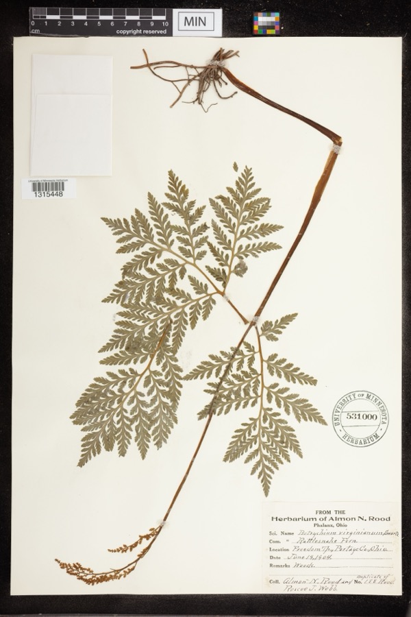 | Botrychium virginianum (L.) Sw. | 1904 | Rood, Almon N.; Roscoe J. Webb | Freedom Twp |
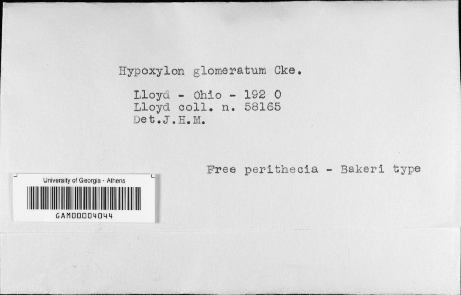 | Hypoxylon glomeratum Cooke | 1920 | C. G. Lloyd | Lloyd |
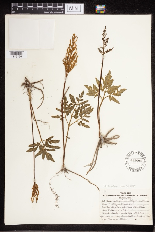 | Botrychium dissectum Spreng. | 1924 | Webb, Roscoe J. | Alford's Glen |
 | Icterus galbula (Linnaeus, 1758) | 1880 | Collection of R. Spires | Atwater, Near |
 | Colaptes auratus luteus Bangs, 1898 | 1883 | John C. Catlin | Ravenna |
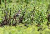 | Dolichonyx oryzivorus (Linnaeus, 1758) | 1883 | John C. Catlin | Ravenna |
 | Lepidozia reptans (L.) Dumort. | 1884 | Czekaj | |
 | Glaucomys volans volans (Linnaeus, 1758) | 1889 | C. P. Streator | Ravenna |
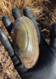 | Pyganodon cataracta (Say, 1817) | 1894 | Sterki, Victor | Rootstown, Congress Lake Outlet and Cuyahoga River(pond to) |
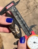 | Sagittunio nasutus (Say, 1817) | 1894 | Sterki, Victor | Rootstown |
 | Entodon seductrix (Hedw.) Müll.Hal. | 1899 | W. A. Kellerman | Edinburgh |
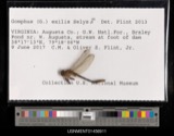 | Gomphus exilis Selys, 1854 | 1900 | E. Williamson | [Not Stated] |
All 284 specimens within 10 miles, at the Global Biodiversity Information Facility.
Mines and quarries near this place
2 within 5 milesRegional context, not property-specific evidence. The federal mineral resources record lists 2 workings within 5 miles of Edinburg: 1 past producer, 1 producer. 1 still produces. What was taken out: Sand and Gravel, Construction. Distance is straight-line from the map coordinates, so a quarry counted here may appear on a neighbouring settlement's page as well.
| Where | Site | Commodity | Status | Recorded |
|---|---|---|---|---|
| Charlestown Sand and Gravel, Inc. | Sand and Gravel, Construction | Producer | ||
| Twin Lakes Sand and Gravel Pit | Sand and Gravel, Construction | Past Producer | Sedimentary |
Storms near this place
8 since 1994Regional context, not property-specific evidence. The National Weather Service names Edinburg in 8 storm reports between 1994 and 2023: 4 hail, 4 thunderstorm wind. No death or injury is recorded in these reports. Each account below is quoted exactly as the forecast office filed it, from the NOAA Storm Events Database, and each date opens the federal record of that event.
| When | Event | Place named | Harm | What the report says |
|---|---|---|---|---|
| August 2023 | Thunderstorm Wind | Edinburg | $20,000 | Numerous trees downed and barn damaged in Edinburg. |
| November 2002 | Thunderstorm Wind | Edinburg | $20,000 | Thunderstorm winds downed several power poles in Edinburg Township. |
| July 2018 | Thunderstorm Wind | Edinburg | $15,000 | Thunderstorm winds downed several trees and at least one utility pole in Edinburg Township. |
| July 2018 | Thunderstorm Wind | Edinburg | $1,000 | Thunderstorm winds downed a tree along Tallmadge Road. |
| August 2023 | Hail | Edinburg | - | Hail up to golf ball-size in Edinburg. |
| May 2003 | Hail | Edinburg | - | Penny size hail was observed. |
| June 1995 | Hail | Edinburg | - | no account filed |
| June 1994 | Hail | Edinburg | - | no account filed |
Nearest settlements
The eight closest, with where each one stands in the county. Distances are straight-line, computed from the Geographic Names Information System coordinates.
| Map | Place | Distance | Sheets |
|---|---|---|---|
| Bloody Corners | 1.8 miles | 14 | |
| Industry | 3.0 miles | 18 | |
| East Davis (historical) | 3.2 miles | 13 | |
| Yale | 3.6 miles | 14 | |
| New Milford | 3.7 miles | 18 | |
| Campbellsport | 3.7 miles | 15 | |
| Countryside Estates | 3.8 miles | 15 | |
| Charlestown | 4.4 miles | 15 |
Elsewhere
Matched on this settlement's Geographic Names Information System number rather than its name, so it cannot be a different place of the same name in another state.
| Wikipedia article on Edinburg | An encyclopaedic summary. Its text is share-alike, so it is linked here rather than copied. |
| Wikidata item Q8772105 | The structured record the population and elevation above come from. Public domain (CC0). |
Provenance
This settlement is recorded in the Geographic Names Information System as feature 1064600. The sheet list is computed by point-in-boundary test against the United States Geological Survey's historical topographic inventory. Both are works of the United States government and carry no copyright under 17 U.S.C. 105.
Specimens. Global Biodiversity Information Facility (GBIF), https://www.gbif.org/. Only records licensed CC0 or CC BY are used. Records licensed CC BY-NC are excluded because this site carries advertising. Images are checked individually and any whose licence is non-commercial, no-derivatives or unreadable is refused.
Mines and quarries. USGS Mineral Resources Data System (MRDS) https://mrdata.usgs.gov/mrds/ A work of the United States government, no copyright under 17 U.S.C. 105.
Storms. NOAA National Centers for Environmental Information, Storm Events Database https://www.ncei.noaa.gov/stormevents/ A work of the United States government, no copyright under 17 U.S.C. 105. Narratives are quoted verbatim from the National Weather Service report and are not edited or summarised.