 Block
Block
Bath, Ohio
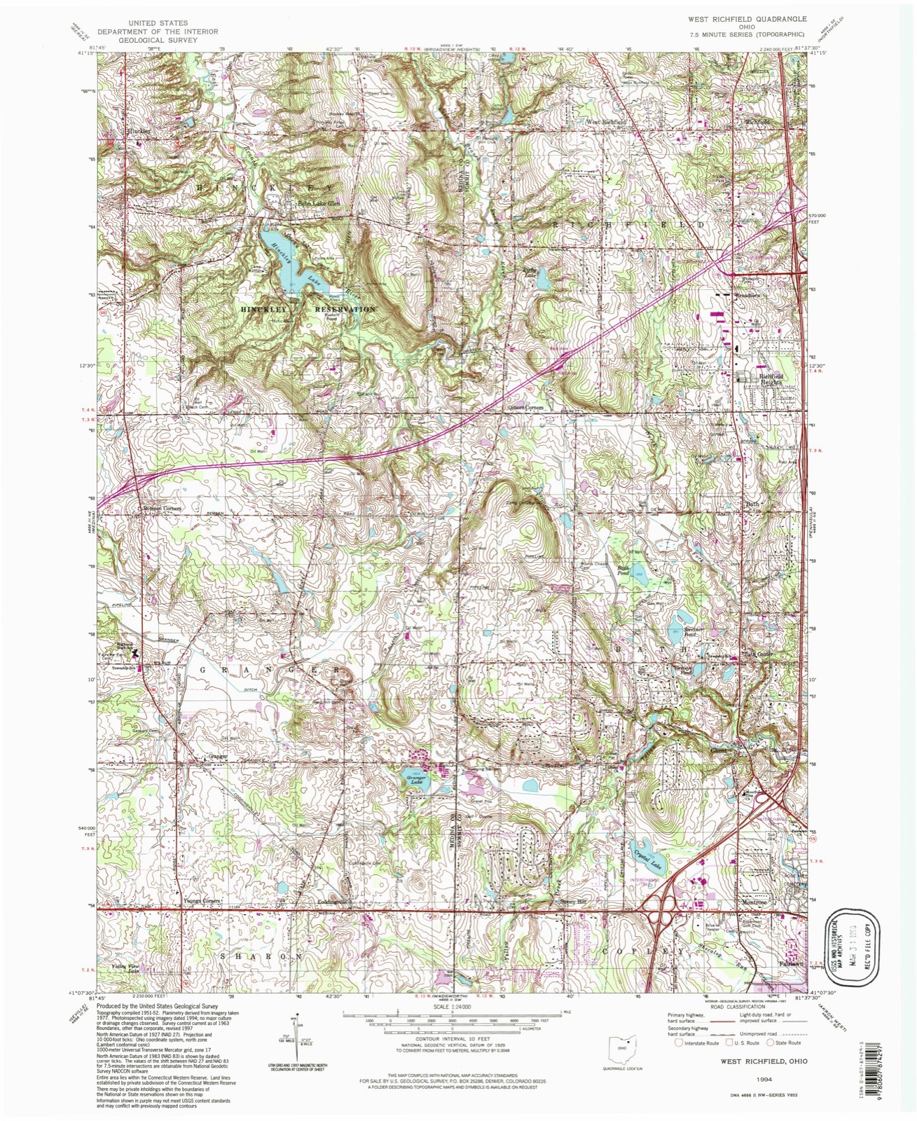
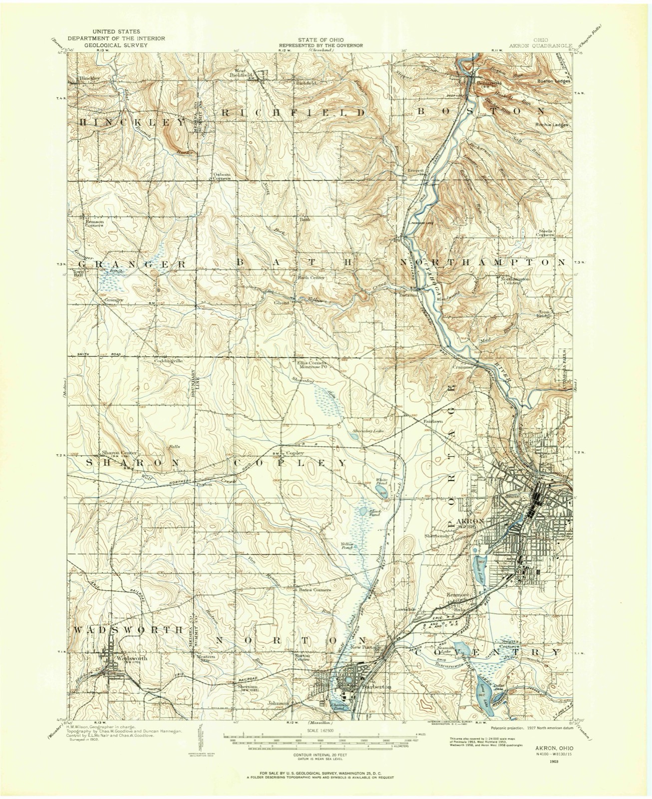
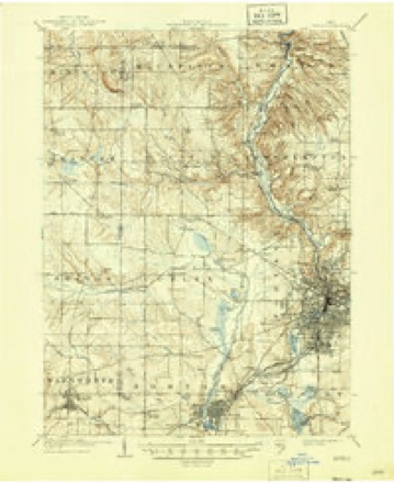
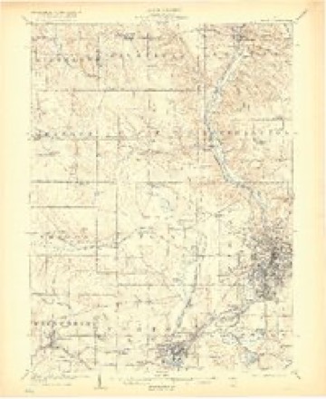
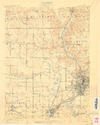
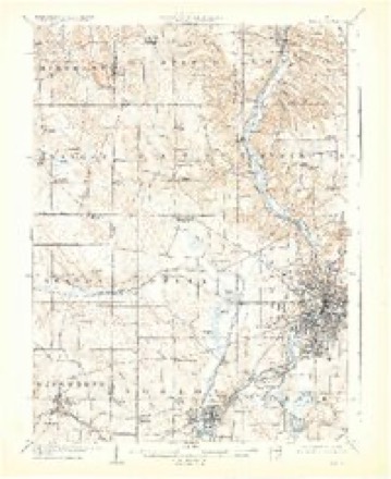
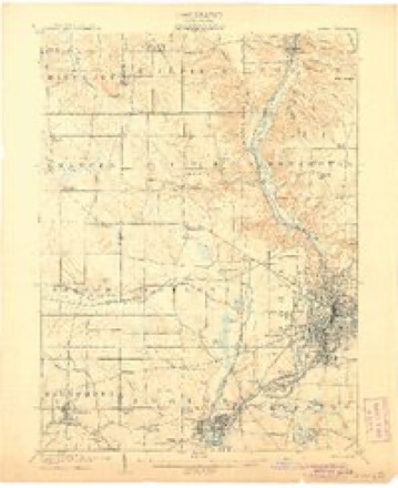
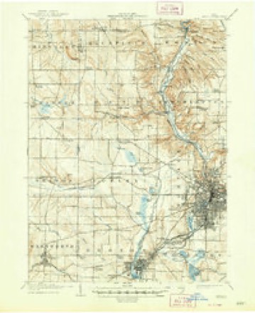
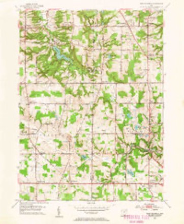
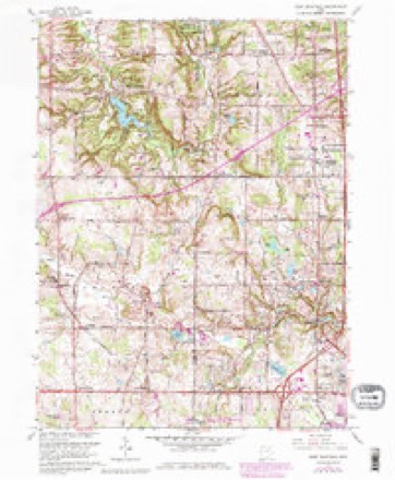
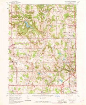
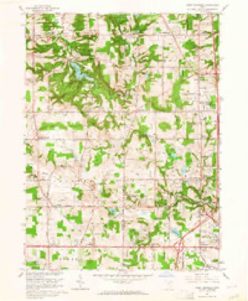
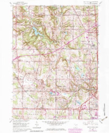
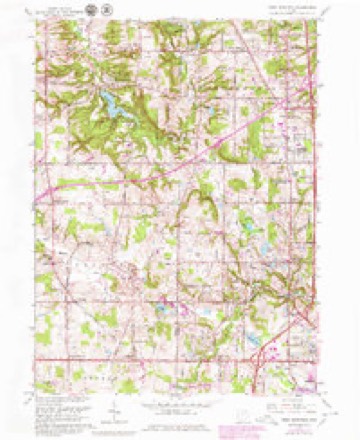
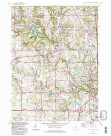
21 topographic sheets cover this place, the earliest surveyed in 1903 and the latest in 1994. It stands in Bath Township. It lies in ZIP code area 44333. It stands on Park Creek. The Survey maps it on the West Richfield quadrangle. It stands 1,122 feet above sea level.
Then and now
1903 to 1994The same ground, surveyed 91 years apart. Drag the handle to wipe between them. Both sheets are United States Geological Survey originals; neither has been altered.
Compare 1903 against another survey:
Topographic sheets covering this place
21 sheetsMatched by testing this settlement's coordinate against the published boundary of every sheet in the United States Geological Survey's historical collection. Each opens the scanned sheet at the Survey.
- 1903 USGS Akron quadrangle1:62500
- 1905 USGS Akron quadrangle1:62500
- 1905 USGS Akron quadrangle1:62500
- 1905 USGS Akron quadrangle1:62500
- 1905 USGS Akron quadrangle1:62500
- 1905 USGS Akron quadrangle1:62500
- 1905 USGS Akron quadrangle1:62500
- 1905 USGS Akron quadrangle1:62500
- 1953 USGS West Richfield quadrangle1:24000
- 1956 USGS Cleveland quadrangle1:250000
- 1956 USGS Cleveland quadrangle1:250000
- 1956 USGS Cleveland quadrangle1:250000
- 1962 USGS Cleveland quadrangle1:250000
- 1963 USGS West Richfield quadrangle1:24000
- 1963 USGS West Richfield quadrangle1:24000
- 1963 USGS West Richfield quadrangle1:24000
- 1963 USGS West Richfield quadrangle1:24000
- 1963 USGS West Richfield quadrangle1:24000
- 1986 USGS Cleveland South quadrangle1:100000
- 1994 USGS Cleveland South quadrangle1:100000
- 1994 USGS West Richfield quadrangle1:24000






In the county-history sources
47,064 words on this townshipHistory of Summit County, with an Outline Sketch of Ohio, published 1881 names this settlement in its chapter on Bath Township. These are the passages that mention it, exactly as the scans read.
THE greater share of Bath Township is extremely rough and preciiDitous. Its central and northern portions, though far from being level, are not as rough and irregular as the balance of the township. The eastern third, and all the land along the valley of Yellow Creek are cut, divided and subdivided into innumerable bluffs and hills of all shapes, sizes and altitudes. Deep gorges wind around the bases of the bluffs, and in some cases are fully 300 feet below the summits of the conical knobs, which appear almost mountainous, when viewed from below. On account of the extreme roughness of Bath, the land was not considered desirable ; so that, in early j-ears, settlers passed on, and it was only after the lapse of time, that large additions were made to the original pioneers. The principal and only stream of note is Yellow Creek. In many respects, it probably has no equal in the county. It is reported that, either from actual measurement or careful estimation, this stream, in flowing across the township (five miles), has a fall of 400 feet. While the stream does not afford any noticeable natural falls, almost its entire course is characterized by a succession of rapids, rendering the creation of first-class water-power an undertaking at once easy and permanent. Since the earliest settlement, these facts have been well known, and tliis will account for the large number of saw and grist mills that have been located along the stream. During the warmer months of dry seasons, the water becomes almost or quite insufficient for milling purposes ; but, in ordinary years, and especially during the rainy months, the creek is a rushing torrent, which sweeps noisily down the valley over its bed of I'ocks. One of the finest natural views in the county is in this valley, in the eastern part of the township. At a place where the creek takes a sudden turn toward the north, a basin of two or three acres is formed on the western side of the creek bottom. Looking southward from the northern part of this basin, the beholder sees an attractive picture. The iDluffs, which extend upward at an angle of forty-five degrees, form a graceful curve, and are covered with a fine forest of pine trees. These trees are found nowhere else along the creek, and form a beautiful contrast with the neighboring oaks and maples, which greets the eye of the spectator with pleasure. The}- are the white pine {Fiiius strobiis), and extend along the creek, mostly on the south side, for a distance of about eighty rods. The larger ones have been cut down and sawed into lumber, several of which measured almost four feet in diameter, though at present they are largely' of a smaller growth. Numerous springs of pure water are found in various parts of the township. A small stream, in the northeast part, drains that portion of the township, and flows directl}' into the Cuyahoga. Another interesting creek rises near the northwest corner, and takes a southeasterly course, flowing into Yellow Creek at Ghent. On the northwest corner of Lot 37 is quite a large pond, drained by the last-named creek, which, so far as the writer knows, is nameless.
Passage source: History of Summit County, with an Outline Sketch of Ohio, published 1881.
Yellow Creek flows across Lots 80, 79, 78, 83, 77, 64, 65, 66, 67, 68, 69 and 70. Its bed is stony, and the stream, through an unknown period of 3'ears, has cut its way deeply into the soil. This is rendered apparent by the steep, high bluffs, bordering the creek and the rapid flow of the water. The surface soil is largely clay, mingled in many places with pebbles, rendering tillage unpleasant and difficult. In basin-like portions of the township, the soil contains considerable decaying vegetation, and these portions are valued highly by the agriculturist. An abundance of excellent sandstone is easily obtained. The eastern half of the township is rich in mineral and fossiliferous remains. There is, unquestionably, a large percentage of iron oxides, or perhaps bog iron ore.
Passage source: History of Summit County, with an Outline Sketch of Ohio, published 1881.
Bath Township was not owned by the Grovernment until after the treaty of Fort Industry in 1805. If any persons other than the Indians, and, perhaps, French, lived upon the soil, they were squatters, and only held a " squatter sovereignty " in the land. The township is No. 3 in Range 12, and was originally called Wheatfleld, and is so named in the field-book of Rial McArthur and R. Warden, who surveyed the township into lots in 1808. The name is said to have been given by these men from the fact that the soil looked as though it would raise excellent wheat. How long the name was used is not definitely known, but it went out of use in two or three years, and then the township became popularly known as Hammondsburg, named thus for one of the earliest and most prominent settlei's. Letters from Connecticut with this address were received. They also came directed to Township 3. Range 12, Western Reserve, Ohio. In fact, this was the ordinary way of addressing letters that, were sent to this section of country.
Passage source: History of Summit County, with an Outline Sketch of Ohio, published 1881.
Machine-read from a century-old scan, so expect the errors a machine makes: misspelled names, dropped words, stray characters.
Read the whole chapter on Bath Township - it names this place 19 more 19 times.
Photographs
1 photograph,Taken for the Office of War Information and the Farm Security Administration, who photographed the country between 1935 and 1944. Works of United States government photographers, with no known restriction on use. Each opens its catalogue record.
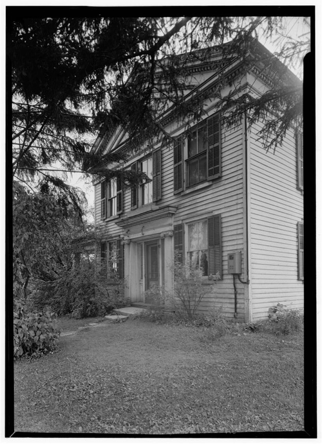
Unattributed, . Library of Congress
Fires near this place
5 since 1993Regional context, not property-specific evidence. The federal wildfire occurrence database lists 5 fires within 5 miles of Bath between 1993 and 2012, burning about 1 acres in total. 1 started naturally. None was recorded as arson. Distance is straight-line from the map coordinates, so a fire counted here may appear on a neighbouring settlement's page as well.
| Reported cause | Fires |
|---|---|
| Railroad operations and maintenance | 1 |
| Smoking | 1 |
| Recreation and ceremony | 1 |
| Equipment and vehicle use | 1 |
| Natural | 1 |
The most recent of them, most recent first, with the day each was reported and the service that recorded it.
| Date | Cause | Size | Reported by | Name on the report |
|---|---|---|---|---|
| 8 August 2012 | Natural | under an acre | Cuyahoga Valley National Park | RIVERVIEW ROAD |
| 31 August 1993 | Smoking | under an acre | Cuyahoga Valley National Park | AKRONS |
| 30 August 1993 | Railroad operations and maintenance | under an acre | Cuyahoga Valley National Park | RAILROAD |
| 13 July 2012 | Recreation and ceremony | under an acre | Cuyahoga Valley National Park | BRUNTY |
| 22 June 1997 | Equipment and vehicle use | under an acre | Cuyahoga Valley National Park | ERDOS |
Settlements close enough to share some of these fires:
Specimens collected near this place
12 of 798 shownRegional context, not property-specific evidence. Museums hold 798 specimens collected within 10 miles of Bath between 1867 and 1975: 704 Animalia, 51 Plantae, 42 Fungi, 1 Unrecorded. 12 distinct Species records are shown. Collected by (no collector listed), A. Black, A. Hall and others. Each is a physical object with a catalogue number, and each entry opens the museum's record. This is what was collected and kept, not a survey of what lives here - nothing can be concluded from a species being absent.
| Image | Species | Year | Collected by | Where, as recorded |
|---|---|---|---|---|
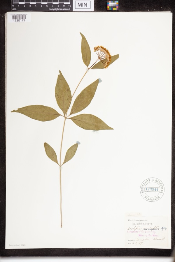 | Asclepias quadrifolia Jacq. | 1889 | Foltz, Kent O. | Sand Run Park; Akron |
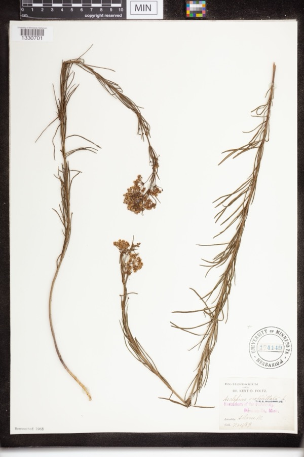 | Asclepias verticillata L. | 1889 | not recorded | Akron |
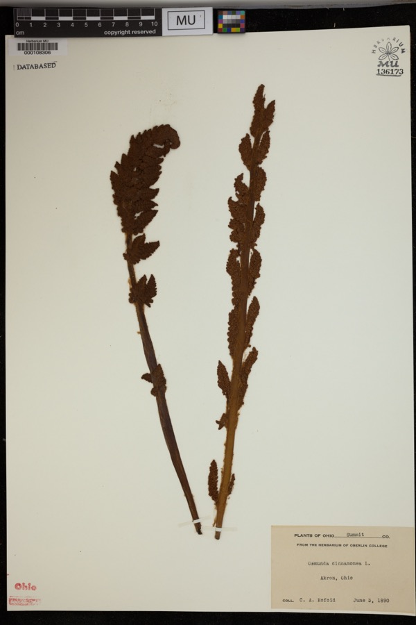 | Osmunda cinnamomea L. | 1890 | Kofoid, C.A. | Akron. |
 | Accipiter striatus velox (A.Wilson, 1812) | 1867 | Collector(s): James Lee Peters | Akron |
 | Empidonax flaviventris (W.M.Baird & S.F.Baird, 1843) | 1877 | A. Hall | Cuyahoga |
 | Dryopteris carthusiana (Vill.) H.P.Fuchs | 1880 | F. O. Payne | Akron |
 | Hydrastis canadensis L. | 1888 | E.L. Sturtevant II | |
 | Lonicera dioica L. | 1888 | K. O. Foltz | |
 | Penstemon hirsutus (L.) Willd. | 1888 | K. O. Foltz | |
 | Carex pensylvanica Lam. | 1889 | Foltz, K.O. | Akron |
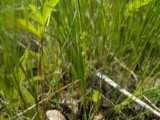 | Platanthera flava var. herbiola (R.Br.) Luer | 1889 | K. O. Foltz | Copley Swamp, near Akron |
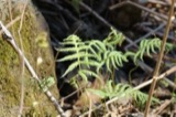 | Phegopteris connectilis (Michx.) Watt | 1890 | F. O. Payne | Akron |
All 798 specimens within 10 miles, at the Global Biodiversity Information Facility.
Storms near this place
11 since 1997Regional context, not property-specific evidence. The National Weather Service names Bath in 11 storm reports between 1997 and 2017: 6 thunderstorm wind, 4 hail, 1 flash flood. No death or injury is recorded in these reports. Each account below is quoted exactly as the forecast office filed it, from the NOAA Storm Events Database, and each date opens the federal record of that event.
| When | Event | Place named | Harm | What the report says |
|---|---|---|---|---|
| June 2006 | Flash Flood | Bath | $150,000 | Thunderstorms dumped one to two inches of rain on portions of Summit County in less than a hour. Steet and lowland flooding was reported in Bath Township. Rapidly flowing water was reported on Spring Valley Road near Interstate 77. A bus garage on Spring Valley Road was damaged by flooding. Flooding was also reported on Everett and Boston Mills Roads. Several driveways along these roads were washed out by flooding. |
| June 2016 | Thunderstorm Wind | Bath | $50,000 | Thunderstorm winds downed several trees and power lines in Bath Township. |
| August 1997 | Thunderstorm Wind | Bath | $10,000 | Numerous trees were downed near Hale Farm. One hundred acres of corn were blown down. Winds were estimated at 80 to 90 miles per hour. |
| July 2005 | Thunderstorm Wind | Bath | $6,000 | A few trees were reported down in Bath and Coventry. |
| October 2001 | Thunderstorm Wind | Bath | $5,000 | Thunderstorm winds downed one tree in Bath and a second in Northfield. |
| September 2002 | Hail | Bath | $4,000 | Nickel size hail was observed. |
| May 2004 | Thunderstorm Wind | Bath | $3,000 | Thunderstorm winds downed two trees. |
| July 2017 | Thunderstorm Wind | Bath | $1,000 | Thunderstorm winds downed a tree along Granger Road. |
| June 2009 | Hail | Bath | - | Nickel size hail was observed. |
| April 2006 | Hail | Bath | - | Penny size hail was observed. |
| June 2008 | Hail | Bath | - | no account filed |
Nearest settlements
The eight closest, with where each one stands in the county. Distances are straight-line, computed from the Geographic Names Information System coordinates.
| Map | Place | Distance | Sheets |
|---|---|---|---|
| Richfield Heights | 1.1 miles | 21 | |
| Bath Center | 1.4 miles | 21 | |
| Broadview | 2.0 miles | 21 | |
| Ghent | 2.1 miles | 21 | |
| Osborn Corners | 2.4 miles | 21 | |
| Ira | 2.8 miles | 21 | |
| Richfield | 3.5 miles | 21 | |
| Everett | 3.6 miles | 21 |
Elsewhere
Matched on this settlement's Geographic Names Information System number rather than its name, so it cannot be a different place of the same name in another state.
| Wikipedia article on Bath | An encyclopaedic summary. Its text is share-alike, so it is linked here rather than copied. |
| Wikidata item Q5645819 | The structured record the population and elevation above come from. Public domain (CC0). |
Provenance
This settlement is recorded in the Geographic Names Information System as feature 1064390. The sheet list is computed by point-in-boundary test against the United States Geological Survey's historical topographic inventory. Both are works of the United States government and carry no copyright under 17 U.S.C. 105.
Wildfire. Short, Karen C. 2022. Spatial wildfire occurrence data for the United States, 1992-2020 [FPA_FOD_20221014]. 6th Edition. Fort Collins, CO: Forest Service Research Data Archive. https://doi.org/10.2737/RDS-2013-0009.6 Collected with United States Government funding and usable without additional permissions or fees.
Specimens. Global Biodiversity Information Facility (GBIF), https://www.gbif.org/. Only records licensed CC0 or CC BY are used. Records licensed CC BY-NC are excluded because this site carries advertising. Images are checked individually and any whose licence is non-commercial, no-derivatives or unreadable is refused.
Storms. NOAA National Centers for Environmental Information, Storm Events Database https://www.ncei.noaa.gov/stormevents/ A work of the United States government, no copyright under 17 U.S.C. 105. Narratives are quoted verbatim from the National Weather Service report and are not edited or summarised.