 Block
Block
Beamsville, Ohio
12 topographic sheets cover this place, the earliest surveyed in 1953 and the latest in 1986. It stands in Richland Township. It lies in ZIP code area 45331. It stands on Boyd Creek. The Survey maps it on the Dawn quadrangle.
Then and now
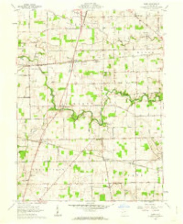
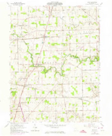
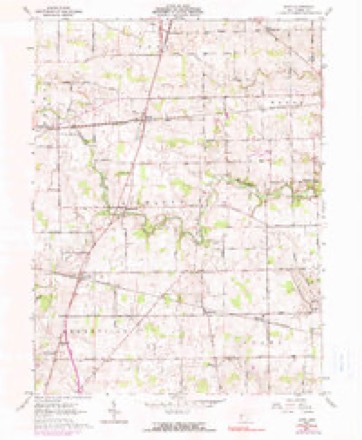
1953 to 1986The same ground, surveyed 33 years apart. Drag the handle to wipe between them. Both sheets are United States Geological Survey originals; neither has been altered.

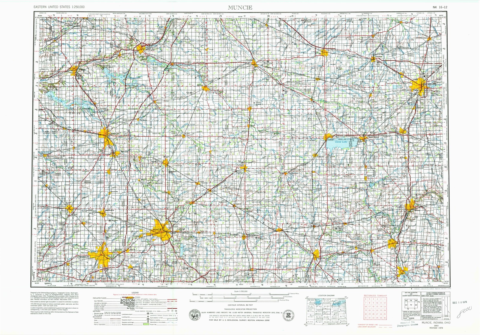
Topographic sheets covering this place
12 sheetsMatched by testing this settlement's coordinate against the published boundary of every sheet in the United States Geological Survey's historical collection. Each opens the scanned sheet at the Survey.
- 1953 USGS Muncie quadrangle1:250000
- 1953 USGS Muncie quadrangle1:250000
- 1953 USGS Muncie quadrangle1:250000
- 1953 USGS Muncie quadrangle1:250000
- 1953 USGS Muncie quadrangle1:250000
- 1956 USGS Muncie quadrangle1:250000
- 1961 USGS Dawn quadrangle1:24000
- 1961 USGS Dawn quadrangle1:24000
- 1961 USGS Dawn quadrangle1:24000
- 1986 USGS Piqua quadrangle1:100000
- 1986 USGS Piqua quadrangle1:100000
- 1986 USGS Piqua quadrangle1:100000









In the county-history sources
15,027 words on this townshipThe History of Darke County, Ohio, Containing a History of the County; Its Cities, Towns, Etc.; General and Local Statistics; Portraits of Early Settlers and Prominent Men;, published 1880 names this settlement in its chapter on Richland Township. These are the passages that mention it, exactly as the scans read.
The topography of Richland present some salient points. The Stillwater, which rises in the northern part of Brown and the southern extreme of the township of Mississinawa, and tends to the southeast, across the lands of the former, takes a very circuitous course through Richland. It enters at almost the northwest corner of the township, and runs thence somewhat east of south of Beamsville, in the eastern part of Section 32, making many short bends in its course between those points. From Beamsville, it runs a mile southeast, then to the northeast a half-mile, then east again a mile, turns then abruptly to the north, then inclines to the northward, forms a bend, and flows southeast, into the lower end of Wayne Township.
Passage source: The History of Darke County, Ohio, Containing a History of the County; Its Cities, Towns, Etc.; General and Local Statistics; Portraits of Early Settlers and Prominent Men;, published 1880.
This schoolhouse was erected probably about the year 1825. perhaps a year or so earlier. The first teacher in this structure was .John Wilkins. and his successor was Thomas Crawson. There are now seven districts in Richland. All the houses are iniilt of brick, and have been in use for the past ten years. They are commodious, well arranged and permanent, fully accommodating the ueeds of the community. The school building at Dawn cost nearly $1,800. It is two stories, and will seat 124 pupils. There is a like structure at Beamsville.
Passage source: The History of Darke County, Ohio, Containing a History of the County; Its Cities, Towns, Etc.; General and Local Statistics; Portraits of Early Settlers and Prominent Men;, published 1880.
In the line of improvements for the aid of settlers in building, there was a horse-mill on Hartell's farm. In connection therewith, was a still-house, the two being operated by Jacob Hartell in 1837 and 1838. There was another mill on the Hathaway farm, one mile southwest of Beamsville. This was a water mill. used only in grinding corn, and had sandstone " grayheads " for buhrs.- This mill was the property of Thomas Hathaway. The next mill was built as a saw-mill and remodeled into a grist-mill, at what was called Johnson's Station. The town. Dawn, was then designated Eden. The last-named mill was run by steam, and in it was used the first stationary steam engine used in the township. In addition to these, there was the u Bloomer Mill," located at Bloomer Town, now called Stelvideo. This structure was raised about the same time as the Eden mill during the years 1853 and 1854.
Passage source: The History of Darke County, Ohio, Containing a History of the County; Its Cities, Towns, Etc.; General and Local Statistics; Portraits of Early Settlers and Prominent Men;, published 1880.
Machine-read from a century-old scan, so expect the errors a machine makes: misspelled names, dropped words, stray characters.
Read the whole chapter on Richland Township - it names this place 12 more 12 times.
Specimens collected near this place
12 of 494 shownRegional context, not property-specific evidence. Museums hold 494 specimens collected within 10 miles of Beamsville between 1895 and 1975: 468 Animalia, 20 Fungi, 6 Plantae. 12 distinct Species records are shown. Collected by A VERWYST, A. F. C.; Stover, W. G., Albrecht, C. and others. Each is a physical object with a catalogue number, and each entry opens the museum's record. This is what was collected and kept, not a survey of what lives here - nothing can be concluded from a species being absent.
| Image | Species | Year | Collected by | Where, as recorded |
|---|---|---|---|---|
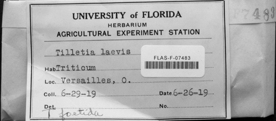 | Tilletia laevis J.G.Kühn | 1919 | not recorded | Versailles |
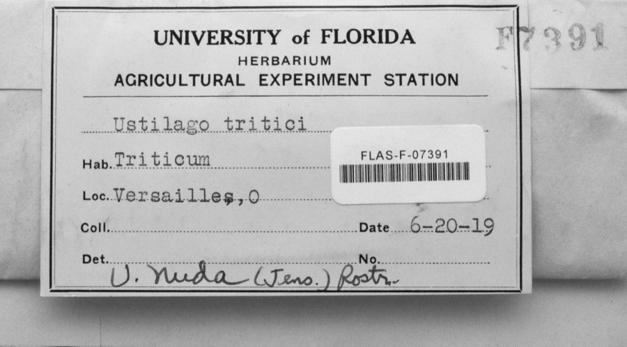 | Ustilago nuda (C.N.Jensen) Kellerm. & Swingle | 1919 | s.n. | Versailles |
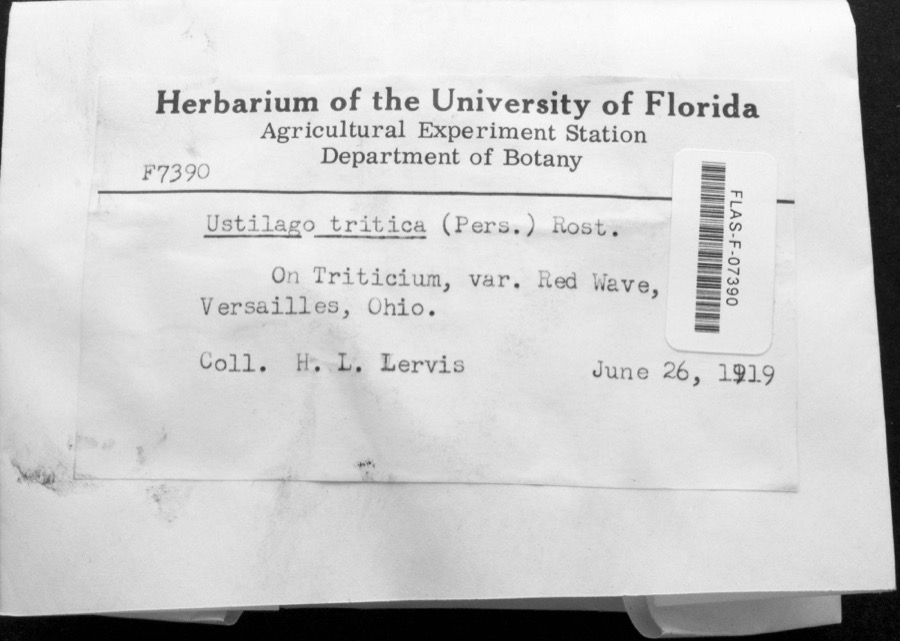 | Ustilago tritici (Bjerk.) Rostr. | 1919 | H.L. Lewis | Versailles |
 | Dispira americana Thaxt. | 1895 | Rush W. H. | Greenville |
 | Clitocybe multiceps Peck | 1906 | H.J. Brememan | Greenville |
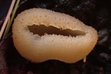 | Peziza vesiculosa Bull. | 1907 | Lucas, C | Greenville |
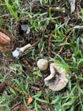 | Amanita phalloides (Vaill. ex Fr.) Secr. | 1909 | A. F. C.; Stover, W. G. | Greenville |
 | Clitocybe odora (Bull.) P.Kumm. | 1909 | Stover, W. G. | Greenville |
 | Panaeolus solidipes (Peck) Sacc. | 1909 | Stover, W. G. | Greenville |
 | Fomes lobatus Cooke | 1911 | Overholts L. O. | Gettysburg |
 | Macrolepiota procera (Scop.) Singer | 1911 | Overholts | Gettysburg |
 | Polyporus zonalis Berk. | 1911 | Overholts L. O. | Gettysburg |
All 494 specimens within 10 miles, at the Global Biodiversity Information Facility.
Storms near this place
2 since 2017Regional context, not property-specific evidence. The National Weather Service names Beamsville in 2 storm reports between 2017 and 2022: 2 thunderstorm wind. No death or injury is recorded in these reports. Each account below is quoted exactly as the forecast office filed it, from the NOAA Storm Events Database, and each date opens the federal record of that event.
Nearest settlements
The eight closest, with where each one stands in the county. Distances are straight-line, computed from the Geographic Names Information System coordinates.
Elsewhere
Matched on this settlement's Geographic Names Information System number rather than its name, so it cannot be a different place of the same name in another state.
| Wikipedia article on Beamsville | An encyclopaedic summary. Its text is share-alike, so it is linked here rather than copied. |
| Wikidata item Q4876231 | The structured record the population and elevation above come from. Public domain (CC0). |
Provenance
This settlement is recorded in the Geographic Names Information System as feature 1048496. The sheet list is computed by point-in-boundary test against the United States Geological Survey's historical topographic inventory. Both are works of the United States government and carry no copyright under 17 U.S.C. 105.
Specimens. Global Biodiversity Information Facility (GBIF), https://www.gbif.org/. Only records licensed CC0 or CC BY are used. Records licensed CC BY-NC are excluded because this site carries advertising. Images are checked individually and any whose licence is non-commercial, no-derivatives or unreadable is refused.
Storms. NOAA National Centers for Environmental Information, Storm Events Database https://www.ncei.noaa.gov/stormevents/ A work of the United States government, no copyright under 17 U.S.C. 105. Narratives are quoted verbatim from the National Weather Service report and are not edited or summarised.