 Block
Block
Pikeville, Ohio
12 topographic sheets cover this place, the earliest surveyed in 1953 and the latest in 1986. It stands in Greenville Township. It lies in ZIP code area 45331. It stands on Harte Run. The Survey maps it on the Dawn quadrangle.
Then and now
1953 to 1986The same ground, surveyed 33 years apart. Drag the handle to wipe between them. Both sheets are United States Geological Survey originals; neither has been altered.

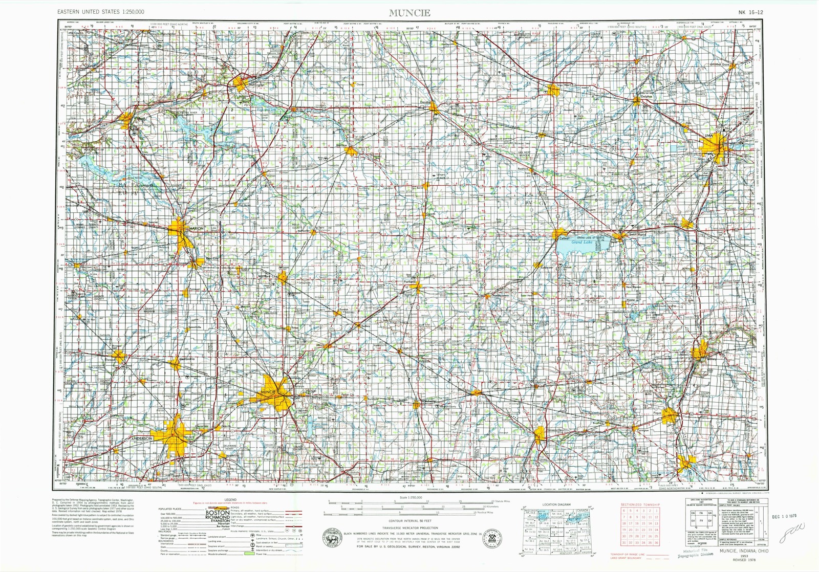
Topographic sheets covering this place
12 sheetsMatched by testing this settlement's coordinate against the published boundary of every sheet in the United States Geological Survey's historical collection. Each opens the scanned sheet at the Survey.
- 1953 USGS Muncie quadrangle1:250000
- 1953 USGS Muncie quadrangle1:250000
- 1953 USGS Muncie quadrangle1:250000
- 1953 USGS Muncie quadrangle1:250000
- 1953 USGS Muncie quadrangle1:250000
- 1956 USGS Muncie quadrangle1:250000
- 1961 USGS Dawn quadrangle1:24000
- 1961 USGS Dawn quadrangle1:24000
- 1961 USGS Dawn quadrangle1:24000
- 1986 USGS Piqua quadrangle1:100000
- 1986 USGS Piqua quadrangle1:100000
- 1986 USGS Piqua quadrangle1:100000









In the county-history sources
167,840 words on this townshipThe History of Darke County, Ohio, Containing a History of the County; Its Cities, Towns, Etc.; General and Local Statistics; Portraits of Early Settlers and Prominent Men;, published 1880 names this settlement in its chapter on Greenville Township. These are the passages that mention it, exactly as the scans read.
Darke County lies in the extreme western part of the State, a little south of the center, adjoining Indinna on the west. It is bounded by Mercerand Auglaize Counties on the north, by Preble and Montgomery on the south and on the east by Shelby and Miami. The area is 588 square miles. Its outlines nearly describe a rectangle, its greater extent being north and south. In accordance with an act passed by the General Assembly of December, 1803, incorporating townships and establishing boards of County Commissioners, the comity of Darke from its sparse population was originally organized into one township and known as Greenville. On July 3, 1817, Twin Township was taken from the south end of Greenville, and embraced all the county south of a line running due east from the southwest corner of Section 31, Township 11 north, Range 1. In the same month. Wayne was created from the northern part of Greenville, and embraced within its limits all of the county north of a line beginning at the northwest corner of Township 12 north. Range 1 east ; thence east to the northwest corner of Township 9 north, Range 4 east ; thence south to the middle of said township, and thence east to the county line. In February, 1818, Harrison was formed and, in March, 1819, all of Greenville Township that lay in Range 1 was formed into a new township entitled Washington, and, in the same month, Adams was formed from all lands in "the county, east of a line running south from the northwest corner of Section 4, Township 10, Range 3, to the southwest corner of Section 28, Township 9, Range 3. In September, 1820, two tiers of sections across the north end of Greenville Township with parts of Wayne and Adams were formed into a new township called Richland, and. in 1821. Neaves Township was laid out, taking four tiers of sections from the south side of the old township. In March, 1829, all of Richland lying in Township 12 north. Range 2 east, was transferred back to Greenville, and also Section 31, of Township 13 north, Range 2. This last section was afterward returned, leaving Greenville as now constituted. German was constituted in 1820 ; Brown and Jackson in 1833 ; Gibson and Monroe in 1836 ; York in 1837, from Richland ; Van Buren in 1838 ; Allen, north end of Brown, north end of Jackson, and Mississinewa, in 1839 ; also Franklin in -lime of the same 37ear ; Wabash, Patterson and Butler in 1841. In 1840, Gibson Township, about one-half of Allen and parts of Patterson and Wabash were taken from Darke and attached to Mercer County. There are at present twenty civil townships - Patterson, Wabash, Allen, Mississinewa, Jackson. Brown, York, Richland, Wayne, Adams, Greenville, Washington, German, Neaves, Van Buren, Franklin, Monroe, Twin, Butler and Harrison. Within their area are contained eight incorporated towns and twenty-five villages. Greenville has priority from age and has always been the capital of the county. Here, as elsewhere stated, are court house, jail and all the conveniences for officials, courts and criminals ; here are some of the oldest churches in the county ; here lived men prominent in letters, and here was started the first newspaper published in Darke. The place is rich in its historic associations. Near the cit}- are the fair grounds, a notable feature of a leading agricultural section. It is situated on Greenville Creek, in the township of Greenville, ninet}T-two miles west of Columbus, and ten from the Indiana line. It has manifest advantages from turnpikes and railroads, and of later years has made a fair use of them. It was laid out in 1810, and incorporated in 1832. It has a national bank, fine churches, good business houses, a handsome and capacious school building, a number of elegant and costly residences fitted up with tasteful grounds. The Turpen House, a large hotel, together with the Wagner House, offers excellent acommodations to guests ; and the city and county support three newspapers. Postal facilities, fire department and other agencies for business, comfort and safety are well supplied. The incorporated towns are New Madison, laid out in 1817, incorporated. 1841. and situated ten miles southwest of Greenville, near the site of old Fort Black ; it is a fine thriving place. Versailles, platted in 1819, and duly incorporated in 1855, and located in Wayne Township ; Union City, a flourishing place on the State line, platted in 1838, and incorporated in 1853, and a lively railroad center ; Gettysburg, incorporated in 1866 ; Dallas, in 1867 ; Arcanum, platted in 1849 and incorporated in 1858. and Bradford, platted in 1867, and incorporated in 1871. The villages are thus enumerated : Minatown, laid out in 1818 ; Fort Jefferson, same j'ear. remarkable as the first work built as a fort in the county; New castine and Ithaca, in 1832; Braffettsville and Palestine, in 1833; Webster, 1835; Beamsville and New Earrison, in 1837; Bollandsburg, 1838 ; North Jacksonville and' Gettysburg, 1842 ; Dallas. 1845; Sampson. 1846 ; Hill Grove and Coleville, in 1848; Gordon, 1849; Tampico, 1850 ; Hose Hill. 1852; De Lisle, 1853; Nevada, 1854; Stelvidio, in the Same year, and Woodland, in 1859. There was now an interval of seven years. during which the stormy scenes of warfare embittered feeling and absorbed public attention, hut again the current rolled on. and. in 1866, Pikeville was platted. next Bradford; then RossvLUe, in 1868, Painter Creek in 1870, and Woodington in 1871. A number of these are promising, prosperous villages, while others are lively hamlets, convenient of resort for meals, grists, trade, lumber conveniences and church privileges. Pine pikes hearing the name of the village of which they are a terminus, or through which they extend, render wheeling convenient and make all points accessible, regardless of seasons. Railroads traverse the townships in various directions, and the difficulties of early transportation are now unknown. The obstacles of the past cannot be conceived from any observation of the present. The fields traversed by open or covered drains, and hearing fine crops of wheat and corn, the groves free from all undergrowth, and the unobstructed streams, require personal knowledge or strong faith to believe the stories of the battles of civilization with the rude, strong elements of nature.
Passage source: The History of Darke County, Ohio, Containing a History of the County; Its Cities, Towns, Etc.; General and Local Statistics; Portraits of Early Settlers and Prominent Men;, published 1880.
History of the Sixty-ninth Ohio Volunteer Infantry. - This regiment contained two companies of men from Darke County, under Capts. Eli Hickox and David Putnam. It was about the close of April, 1862, when the organization reported for duty at Nashville, Tenn.; was reviewed by Andrew Johnson, then Military Governor of the State, and, April 29, detailed to guard forty-two miles of the Nashville & Columbia Railroad. The companies were stationed at bridges within that distance. June 6, the regiment was ordered to report at Franklin, then to Nashville, and was then transported to Murfreesboro, where it joined three other regiments, two batteries and a bod}^ of cavalr}*, all under Gen. Dumont, in an expedition to McMinnville. The head of the column entered that town in twenty-eight hours after leaving Murfreesboro, and in twenty hours accomplished the feat of traveling fifty-two miles. They marched across the Cumberland Mountains to Pikeville. The ascent of the mountains is very steep, and the distance to the top shelf is three miles. The artillery doubled teams, as did the baggage trains. The road is covered with sharp stones, tying loose ; at the top of the road, it is covered with fine sand to the depth of four inches. Water was scarce ; trains were far to the rear ; haversacks were empty, and everybody was hungry. There was a small farm where the troops camped, and among the stock was a flock of fifty sheep, which fell victims to their necessities. There was no salt, and the mutton was roasted on sticks for supper and breakfast. On Sunday morning, the column had advanced but two miles, when scouts reported the rebels at Pikeville, and nothing to eat ; thereupon the column about-faced and set out on their return. Returning to Nashville, the Sixty-ninth was assigned to provost and guard duty until the close of July. Col. L. D. Campbell was appointed Provost Marshal of Nashville, and held the position till his resignation, in August. Morgan made a raid on Gallatin, and the Sixty-ninth Ohio and Eleventh Michigan, marching thither, drove out the enemy. While Bragg was engaged in his movement on Louisville, the Sixty-ninth, with other regiments, garrisoned Nashville. Duty was severe, and skirmishes were frequent. The army gathering at Nashville, the regiment moved out into camp, about five miles from the city. It was placed in Negley's division of the Fourteenth Army Corps, and advanced with the army, on December 26, upon the Franklin Pike. The vicinity of the enemy was reached on the evening of the 29th, and skirmishing was constant. On the next day, Negley marched to the right center, and, while a part of the Sixty-ninth lay in the cedars, the others were upon the skirmish line. On the 31st, it went to the front early in the morning. Companies A and D were sent out to skirmish with the rebel pickets, while the others lay upon the ground to avoid the exploding shells, and reserving»their fire for infantry. About 10 A. M., the crisis approached, and the Sixty-ninth fell back some thirty rods to an open field, and fell into line with the division. The rebel lines advanced, well supported, and maintaining a heavy, deadly fire. Col. Cassily was dismounted, and Maj. Hickox took command. The men were confused, and, being exposed to the leaden sleet without returning the fire, showed unmistakable symptoms of disorganization. The Major partially restored confidence, and the line was rapidly recovering, when a shot, striking his horse, threw him heavily ; and now the men stood without command, under a murderous rain of balls. They were becoming demoralized, when Col. Stanley, discovering their trouble, placed himself at their front, and, advancing them to support the other regiments, was called elsewhere. The men went in and placed themselves among the soldiers of other regiments, without regard to order. In a few minutes, Capt. Putnam began to re-form Company E, and the movement was immediately imitated by other companies. They fell back a short distance, halted, chose Putnam to command, and then, when nearly cut off, made their way out, with little time to spare, and the division marched to the rear of the left center.
Passage source: The History of Darke County, Ohio, Containing a History of the County; Its Cities, Towns, Etc.; General and Local Statistics; Portraits of Early Settlers and Prominent Men;, published 1880.
Machine-read from a century-old scan, so expect the errors a machine makes: misspelled names, dropped words, stray characters.
Read the whole chapter on Greenville Township - it names this place 3 more 3 times.
Specimens collected near this place
12 of 567 shownRegional context, not property-specific evidence. Museums hold 567 specimens collected within 10 miles of Pikeville between 1895 and 1975: 541 Animalia, 20 Fungi, 6 Plantae. 12 distinct Species records are shown. Collected by A VERWYST, A. F. C.; Stover, W. G., Albrecht, C. and others. Each is a physical object with a catalogue number, and each entry opens the museum's record. This is what was collected and kept, not a survey of what lives here - nothing can be concluded from a species being absent.
| Image | Species | Year | Collected by | Where, as recorded |
|---|---|---|---|---|
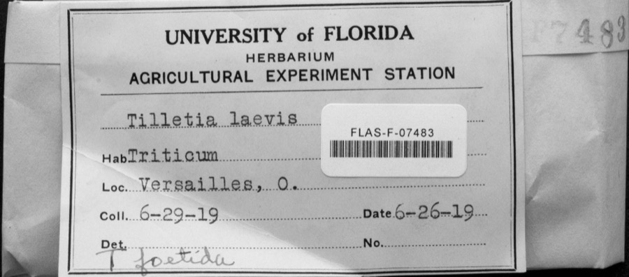 | Tilletia laevis J.G.Kühn | 1919 | not recorded | Versailles |
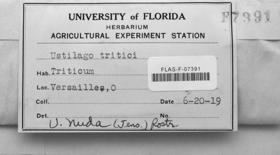 | Ustilago nuda (C.N.Jensen) Kellerm. & Swingle | 1919 | s.n. | Versailles |
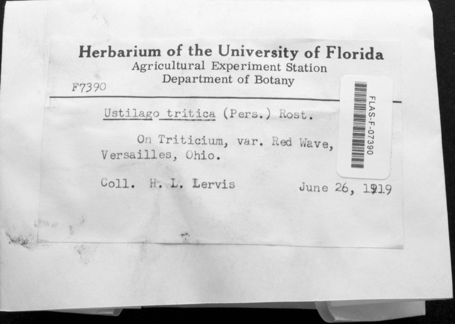 | Ustilago tritici (Bjerk.) Rostr. | 1919 | H.L. Lewis | Versailles |
 | Dispira americana Thaxt. | 1895 | Rush W. H. | Greenville |
 | Etheostoma caeruleum Storer, 1845 | 1905 | Clark, C. F. (Clarence F.) | Prairie Outlet, Sec 28 of Neave township, ~0.3 mi NE of Wayne Lakes Park, Neave township |
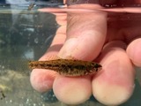 | Etheostoma microperca Jordan & Gilbert, 1888 | 1905 | Clark, C. F. (Clarence F.) | Prairie Outlet, Sec 28 of Neave township, ~0.3 mi NE of Wayne Lakes Park, Neave township |
 | Clitocybe multiceps Peck | 1906 | H.J. Brememan | Greenville |
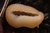 | Peziza vesiculosa Bull. | 1907 | Lucas, C | Greenville |
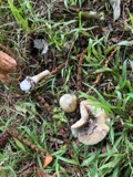 | Amanita phalloides (Vaill. ex Fr.) Secr. | 1909 | A. F. C.; Stover, W. G. | Greenville |
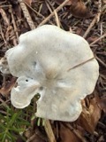 | Clitocybe odora (Bull.) P.Kumm. | 1909 | Stover, W. G. | Greenville |
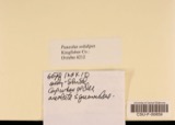 | Panaeolus solidipes (Peck) Sacc. | 1909 | Stover, W. G. | Greenville |
 | Fomes lobatus Cooke | 1911 | Overholts L. O. | Gettysburg |
All 567 specimens within 10 miles, at the Global Biodiversity Information Facility.
Mines and quarries near this place
2 within 5 milesRegional context, not property-specific evidence. The federal mineral resources record lists 2 workings within 5 miles of Pikeville: 1 past producer, 1 producer. 1 still produces. What was taken out: Sand and Gravel, Construction. Distance is straight-line from the map coordinates, so a quarry counted here may appear on a neighbouring settlement's page as well.
| Where | Site | Commodity | Status | Recorded |
|---|---|---|---|---|
| Feitshans Pit | Sand and Gravel, Construction | Past Producer | Sedimentary | |
| Feitshans Pit | Sand and Gravel, Construction | Producer |
Storms near this place
3 since 2013Regional context, not property-specific evidence. The National Weather Service names Pikeville in 3 storm reports between 2013 and 2020: 1 heavy rain, 1 flood, 1 thunderstorm wind. No death or injury is recorded in these reports. Each account below is quoted exactly as the forecast office filed it, from the NOAA Storm Events Database, and each date opens the federal record of that event.
| When | Event | Place named | Harm | What the report says |
|---|---|---|---|---|
| July 2020 | Thunderstorm Wind | Pikeville | $1,000 | A tree was downed. |
| April 2019 | Flood | Pikeville | - | Flooding was reported on Hunter Road between State Route 118 and Grote Road. |
| January 2013 | Heavy Rain | Pikeville | - | Minor flooding was reported along Hunter and Schroder roads due to heavy rainfall. |
Nearest settlements
The eight closest, with where each one stands in the county. Distances are straight-line, computed from the Geographic Names Information System coordinates.
| Map | Place | Distance | Sheets |
|---|---|---|---|
| Wakefield | 1.6 miles | 12 | |
| Beamsville | 1.9 miles | 12 | |
| Saint John (historical) | 2.2 miles | 12 | |
| Stelvideo | 3.0 miles | 12 | |
| Ansonia | 3.9 miles | 11 | |
| Dawn | 3.9 miles | 12 | |
| Woodington | 4.0 miles | 11 | |
| Horatio | 4.3 miles | 12 |
Elsewhere
Matched on this settlement's Geographic Names Information System number rather than its name, so it cannot be a different place of the same name in another state.
| Wikipedia article on Pikeville | An encyclopaedic summary. Its text is share-alike, so it is linked here rather than copied. |
| Wikidata item Q22134105 | The structured record the population and elevation above come from. Public domain (CC0). |
Provenance
This settlement is recorded in the Geographic Names Information System as feature 1063418. The sheet list is computed by point-in-boundary test against the United States Geological Survey's historical topographic inventory. Both are works of the United States government and carry no copyright under 17 U.S.C. 105.
Specimens. Global Biodiversity Information Facility (GBIF), https://www.gbif.org/. Only records licensed CC0 or CC BY are used. Records licensed CC BY-NC are excluded because this site carries advertising. Images are checked individually and any whose licence is non-commercial, no-derivatives or unreadable is refused.
Mines and quarries. USGS Mineral Resources Data System (MRDS) https://mrdata.usgs.gov/mrds/ A work of the United States government, no copyright under 17 U.S.C. 105.
Storms. NOAA National Centers for Environmental Information, Storm Events Database https://www.ncei.noaa.gov/stormevents/ A work of the United States government, no copyright under 17 U.S.C. 105. Narratives are quoted verbatim from the National Weather Service report and are not edited or summarised.