 Block
Block
Bethel, Ohio
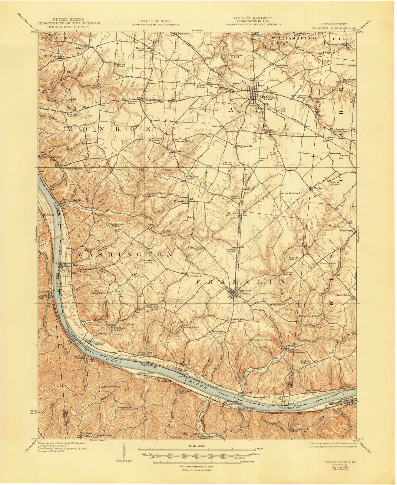
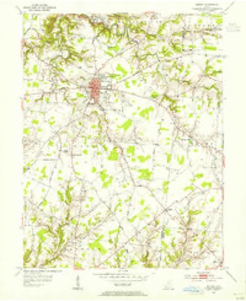
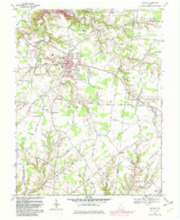
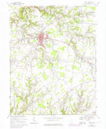
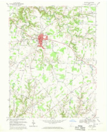
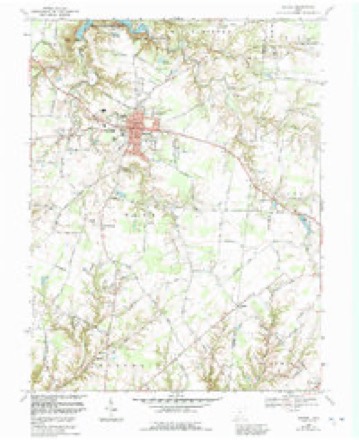
12 topographic sheets cover this place, the earliest surveyed in 1931 and the latest in 1986. It stands in Tate Township. It lies in ZIP code area 45106. It stands on Guest Run. The Survey maps it on the Bethel quadrangle.
Then and now
1931 to 1986The same ground, surveyed 55 years apart. Drag the handle to wipe between them. Both sheets are United States Geological Survey originals; neither has been altered.
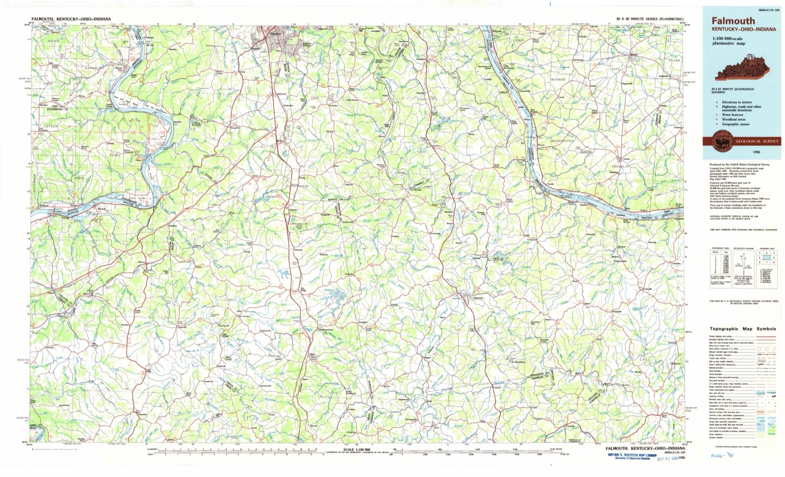
Topographic sheets covering this place
12 sheetsMatched by testing this settlement's coordinate against the published boundary of every sheet in the United States Geological Survey's historical collection. Each opens the scanned sheet at the Survey.
- 1931 USGS Felicity quadrangle1:62500
- 1931 USGS Felicity quadrangle1:62500
- 1953 USGS Bethel quadrangle1:24000
- 1956 USGS Louisville quadrangle1:250000
- 1956 USGS Louisville quadrangle1:250000
- 1964 USGS Louisville quadrangle1:250000
- 1968 USGS Bethel quadrangle1:24000
- 1968 USGS Bethel quadrangle1:24000
- 1968 USGS Bethel quadrangle1:24000
- 1968 USGS Bethel quadrangle1:24000
- 1986 USGS Falmouth quadrangle1:100000
- 1986 USGS Falmouth quadrangle1:100000
Fires nearby
1 since 2002The federal wildfire occurrence database lists 1 fire within 5 miles of Bethel between 2002 and 2002, burning about 1 acres in total. None started naturally. 1 was recorded as arson. Distance is straight-line from the map coordinates, so a fire counted here may appear on a neighbouring settlement's page as well.
| Reported cause | Fires |
|---|---|
| Arson/incendiarism | 1 |
The most recent of them, most recent first, with the day each was reported and the service that recorded it.
| Date | Cause | Size | Reported by | Name on the report |
|---|---|---|---|---|
| 5 September 2002 | Arson/incendiarism | 1.0 acres | Ohio State Fire Marshal's Office | not named |
Settlements close enough to share some of these fires:
Specimens collected nearby
12 of 704 shownMuseums hold 704 specimens collected within 10 miles of Bethel between 1866 and 1975: 489 Animalia, 167 Fungi, 37 Plantae, 11 Protozoa. 12 distinct Species records are shown. Collected by A. Braun, A. F. Braun, Alice Edwards; J.G. Edwards and others. Each is a physical object with a catalogue number, and each entry opens the museum's record. This is what was collected and kept, not a survey of what lives here - nothing can be concluded from a species being absent.
| Image | Species | Year | Collected by | Where, as recorded |
|---|---|---|---|---|
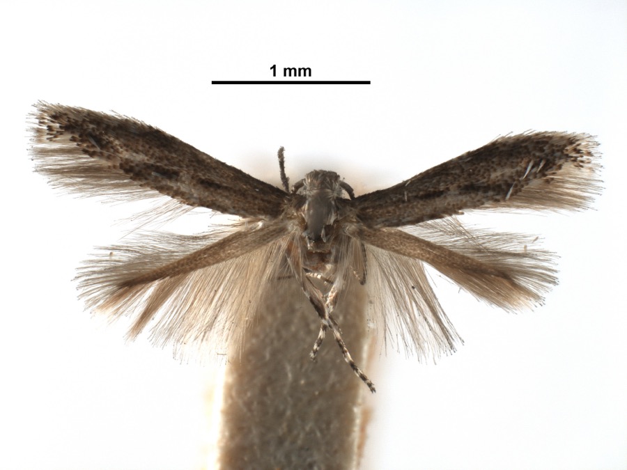 | Apophthisis pullata Braun, 1915 | 1929 | A. Braun | [Not Stated] |
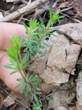 | Galium concinnum Torr. & A.Gray | 1866 | Mohr, C. | Bantam |
 | Asarum canadense L. | 1877 | Mohr, Marie | Clermont County, Ohio |
 | Vireo griseus noveboracensis (Gmelin, 1789) | 1879 | Freeman, L. | Locust Corner, Clermont, Ohio, USA |
 | Geastrum lageniforme Vittad. | 1882 | Carley S. T. | |
| Chordata | 1886 | Smithsonian Institution | ||
 | Liobunum Agassiz, 1846 | 1890 | [Not Stated] | [Not Stated] |
 | Mammuthus primigenius (Blumenbach, 1799) (fossil) | 1900 | not recorded | |
 | Bufo fowleri Hinckley, 1882 | 1904 | Lindahl, J. (Joshua) | Batavia, Clermont Co., Ohio |
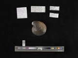 | Obovaria retusa (Lamarck, 1819) | 1909 | Bureau of Fisheries | Ohio River, Point Pleasant |
 | Plethobasus cyphus (Rafinesque, 1820) | 1909 | Bureau of Fisheries | Ohio River, Point Pleasant |
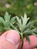 | Aecidium Pers. | 1910 | C. C. M. | Bantam |
All 704 specimens within 10 miles, at the Global Biodiversity Information Facility.
Storms nearby
36 since 1995The National Weather Service names Bethel in 36 storm reports between 1995 and 2025: 15 thunderstorm wind, 13 hail, 4 flash flood, 3 flood. No death or injury is recorded in these reports. Each account below is quoted exactly as the forecast office filed it, from the NOAA Storm Events Database, and each date opens the federal record of that event.
| When | Event | Place named | Harm | What the report says |
|---|---|---|---|---|
| May 1997 | Thunderstorm Wind | Bethel | $100,000 | Numerous trees downed with some falling on residences and a church. |
| February 2008 | Thunderstorm Wind | Bethel | $70,000 | A 25-foot block wall was blown into a grocery store. A plate glass window was blown out and the porch of an adjacent home was severely damaged. Several barns were destroyed and a large number of trees and power poles were knocked down. Damage was determined to be caused by straight-line winds estimated at 80 to 100 mph. |
| May 2009 | Hail | Bethel | $20,000 | Hail sizes ranged between 1 inch and 1.50 inches. |
| July 2009 | Flash Flood | Bethel | $15,000 | Basements were flooded due to heavy rainfall. |
| January 2023 | Flood | Bethel | $10,000 | A basement was flooded along South Union Street. |
| July 2023 | Thunderstorm Wind | Bethel | $10,000 | A few trees were downed on power lines on Spring Grove Road. |
| July 2011 | Thunderstorm Wind | Bethel | $10,000 | Several trees were reported down. A healthy tree was broken and thrown 15 feet into a car and pole barn, both of which were damaged. Numerous power outages were also reported in the area. These occurrences were due to damaging thunderstorm winds. |
| July 2006 | Flash Flood | Bethel | $6,000 | Several homes had basement flooding. The intersection of State Route 133 and Pitzer Road was flooded and closed. |
| August 2022 | Flood | Bethel | $5,000 | High water was reported on Main Street in Bethel with some of the water encroaching on homes. |
| April 2014 | Thunderstorm Wind | Bethel | $5,000 | Trees and utility wires were reported down in Bethel due to thunderstorm winds. |
| July 2012 | Thunderstorm Wind | Bethel | $5,000 | Trees and power lines were downed near Highway 133 and Clark Street due to damaging thunderstorm winds. |
| April 2000 | Thunderstorm Wind | Bethel | $5,000 | Trees and power lines knocked down. |
| July 2000 | Flash Flood | Bethel | $5,000 | Heavy rainfall caused flooded roads between Bethel and Williamsburg. |
| August 2016 | Thunderstorm Wind | Bethel | $4,000 | A large tree was knocked down on a shed. |
| August 2021 | Thunderstorm Wind | Bethel | $3,000 | A few power lines were downed due to winds associated with an outflow boundary. |
| May 1996 | Thunderstorm Wind | Bethel | $3,000 | no account filed |
| June 2019 | Thunderstorm Wind | Bethel | $2,000 | Several trees were knocked down in the Tate Township area. |
| February 2011 | Thunderstorm Wind | Bethel | $2,000 | Trees and power lines were reported down due to damaging thunderstorm winds. |
| December 2025 | Thunderstorm Wind | Bethel | $1,000 | A tree was downed on Rich Street. |
| June 2011 | Flash Flood | Bethel | $1,000 | High water was reported over numerous roads. Many locations experienced several inches of flowing water. These occurrences were due to heavy rain. |
| May 2009 | Tornado (EF0) | Bethel | $1,000 | A tornado briefly touched down over the southwest portion of Bethel, near Fossyl Drive and the baseball diamonds at Burke Park. The tornado moved east-southeast and downed a tree limb on South Ash Street. It lifted shortly thereafter as it passed just south of downtown Bethel. The tornado was rated an EF0 with maximum winds at 65 to 70 mph. |
| November 2007 | Hail | Bethel | $1,000 | no account filed |
| June 2019 | Thunderstorm Wind | Bethel | $500 | A few large limbs were knocked down near the intersection of Davis Road and State Route 125. |
| July 2016 | Thunderstorm Wind | Bethel | $500 | A tree was downed along Cherry Street. |
| December 2013 | Flood | Bethel | - | High water was reported over a few roads across the county due to heavy rainfall. |
| April 2025 | Hail | Bethel | - | no account filed |
| April 2020 | Hail | Bethel | - | no account filed |
| April 2020 | Hail | Bethel | - | no account filed |
| March 2017 | Hail | Bethel | - | no account filed |
| March 2012 | Hail | Bethel | - | no account filed |
| May 2010 | Hail | Bethel | - | no account filed |
| June 2010 | Hail | Bethel | - | no account filed |
| June 2004 | Hail | Bethel | - | no account filed |
| May 1998 | Hail | Bethel | - | no account filed |
| June 1995 | Hail | Bethel | - | no account filed |
| June 1995 | Hail | Bethel | - | no account filed |
Nearest settlements
The eight closest, with where each one stands in the county. Distances are straight-line, computed from the Geographic Names Information System coordinates.
| Map | Place | Distance | Sheets |
|---|---|---|---|
| Pinhook | 1.9 miles | 12 | |
| Wiggonsville | 2.5 miles | 12 | |
| Clover | 3.1 miles | 12 | |
| South Bantam | 3.7 miles | 12 | |
| Bantam | 4.0 miles | 12 | |
| Concord | 4.0 miles | 18 | |
| Saltair | 4.1 miles | 12 | |
| Hennings Mill | 4.4 miles | 18 |
Provenance
This settlement is recorded in the Geographic Names Information System as feature 1064426. The sheet list is computed by point-in-boundary test against the United States Geological Survey's historical topographic inventory. Both are works of the United States government and carry no copyright under 17 U.S.C. 105.
Wildfire. Short, Karen C. 2022. Spatial wildfire occurrence data for the United States, 1992-2020 [FPA_FOD_20221014]. 6th Edition. Fort Collins, CO: Forest Service Research Data Archive. https://doi.org/10.2737/RDS-2013-0009.6 Collected with United States Government funding and usable without additional permissions or fees.
Specimens. Global Biodiversity Information Facility (GBIF), https://www.gbif.org/. Only records licensed CC0 or CC BY are used. Records licensed CC BY-NC are excluded because this site carries advertising. Images are checked individually and any whose licence is non-commercial, no-derivatives or unreadable is refused.
Storms. NOAA National Centers for Environmental Information, Storm Events Database https://www.ncei.noaa.gov/stormevents/ A work of the United States government, no copyright under 17 U.S.C. 105. Narratives are quoted verbatim from the National Weather Service report and are not edited or summarised.