 Block
Block
Independence, Ohio
16 topographic sheets cover this place, the earliest surveyed in 1903 and the latest in 1994. It stands in Independence City. It lies in ZIP code area 44131. It stands on Tinkers Creek. The Survey maps it on the Broadview Heights quadrangle. 7,584 people lived here at the 2020 count. It stands 863 feet above sea level.
Population over time
2 figuresIndependence grew from 7,133 to 7,584 between 2010 and 2020. These are the recorded population figures Wikidata holds for this place, reached through the Geographic Names Information System number this page is keyed on rather than by name, so they belong to this place and not to another of the same name. Most are census counts, but not all are: an early figure may be a founding or settlement estimate. The change column is computed, and is left blank where more than 20 years separate a figure from the one before it, because a gap that long is not a change between two counts.
| Year | People | Change |
|---|---|---|
| 2010 | 7,133 | |
| 2020 | 7,584 | +451 (+6%) |
Then and now
1903 to 1994The same ground, surveyed 91 years apart. Drag the handle to wipe between them. Both sheets are United States Geological Survey originals; neither has been altered.
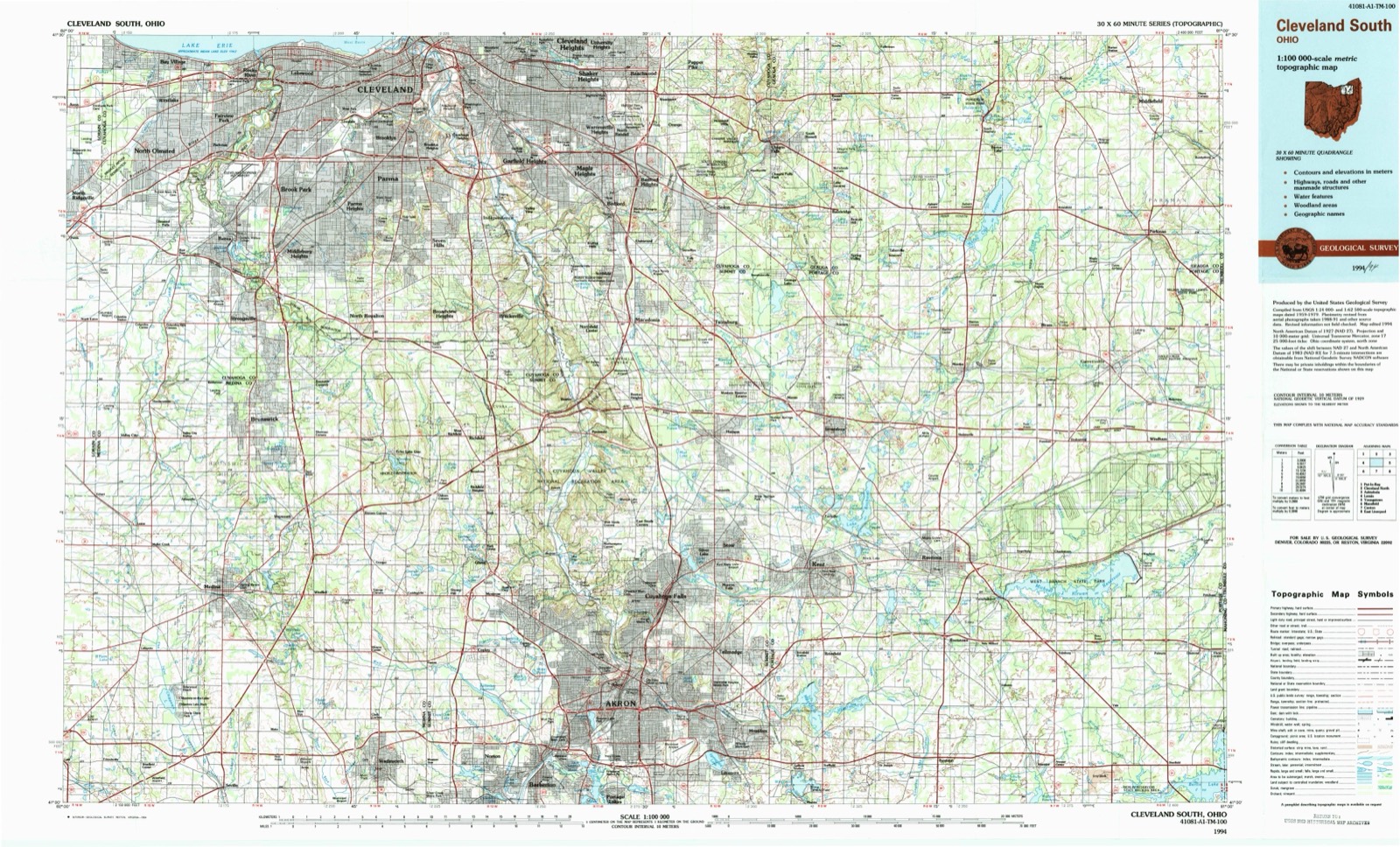
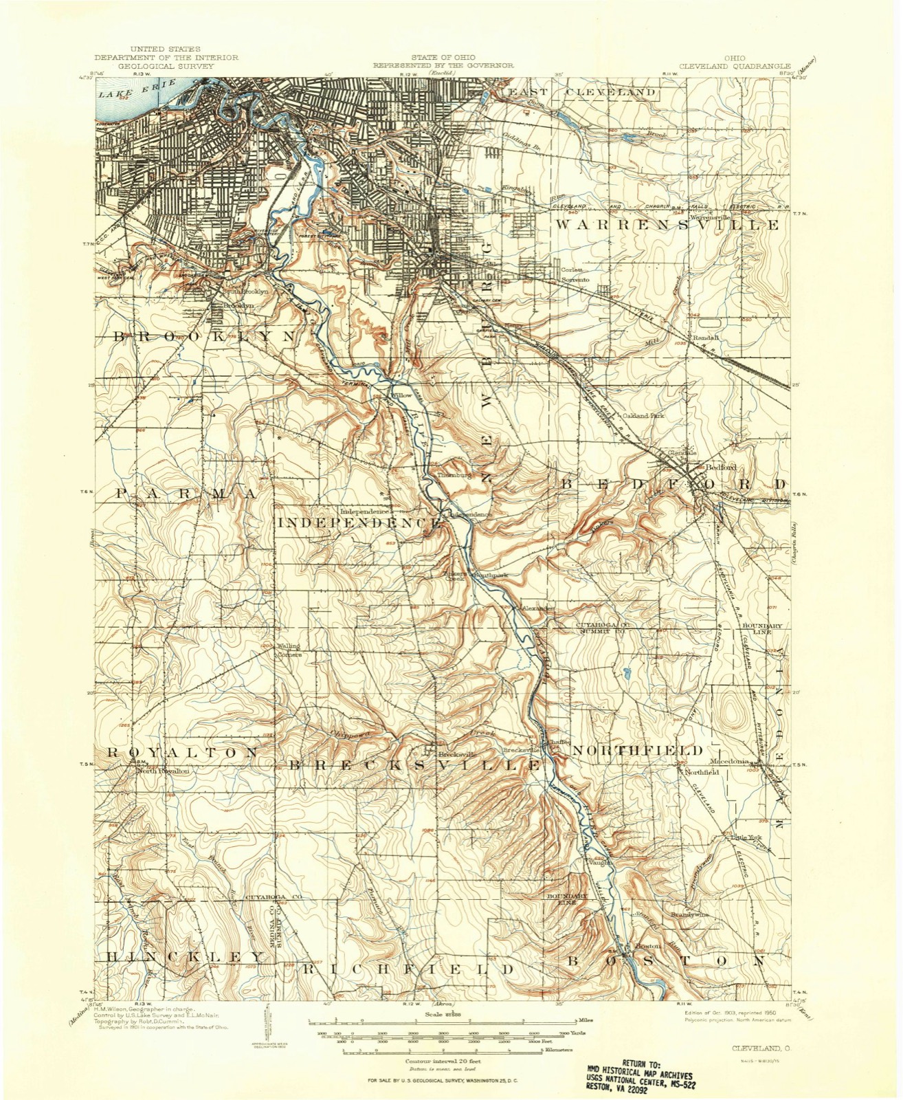
Topographic sheets covering this place
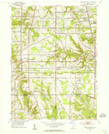
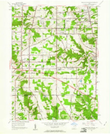
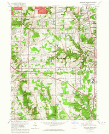
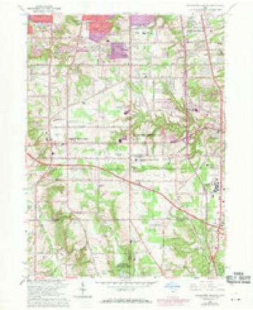
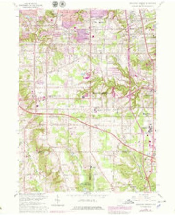
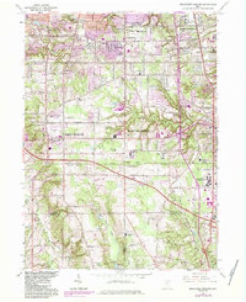
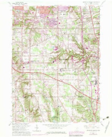
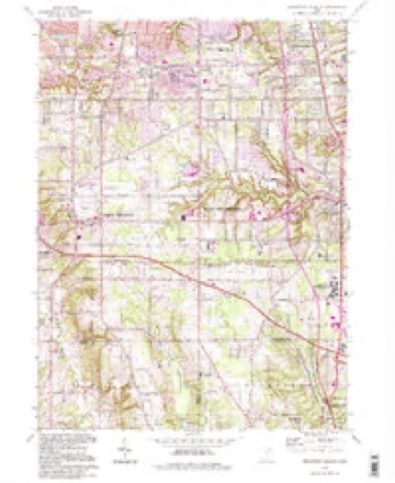
16 sheetsMatched by testing this settlement's coordinate against the published boundary of every sheet in the United States Geological Survey's historical collection. Each opens the scanned sheet at the Survey.
- 1903 USGS Cleveland quadrangle1:62500
- 1903 USGS Cleveland quadrangle1:62500
- 1953 USGS Broadview Heights quadrangle1:24000
- 1953 USGS Broadview Heights quadrangle1:24000
- 1956 USGS Cleveland quadrangle1:250000
- 1956 USGS Cleveland quadrangle1:250000
- 1956 USGS Cleveland quadrangle1:250000
- 1962 USGS Cleveland quadrangle1:250000
- 1963 USGS Broadview Heights quadrangle1:24000
- 1963 USGS Broadview Heights quadrangle1:24000
- 1963 USGS Broadview Heights quadrangle1:24000
- 1963 USGS Broadview Heights quadrangle1:24000
- 1963 USGS Broadview Heights quadrangle1:24000
- 1986 USGS Cleveland South quadrangle1:100000
- 1994 USGS Broadview Heights quadrangle1:24000
- 1994 USGS Cleveland South quadrangle1:100000






In the county-history sources
4,214 words on this townshipHistory of Cuyahoga County Ohio, published 1870 names this settlement in its chapter on Independence City. These are the passages that mention it, exactly as the scans read.
In 1810 John I., Archibald and William Harper, sons of Colonel John Harper a celebrated Revolutionary soldier who lived in Delaware county, New York, ca'ie to Ashtabula county, in this State, and in 1816 John I. emigrated from there to Independence, settling on tract two, near where the canal now runs, where he died in August, 1849. He reared two sons, Erastus R., who yet lives on the homestead; De Witt C., who moved to Michigan; and three daughters, one of whom married H. G. Edwards, of Newburg. John Maxwell, a boy indentured to J. I. Harper, moved to Galena, Illinois, after he had attained manhood, and while discharging his duties as sheriff was killed by a man whom he attempted to arrest.
Passage source: History of Cuyahoga County Ohio, published 1870.
Colonel Rial McArthur became a resident of the township in 1833, but returned to Portage county in 1844. He was the surveyor of the eastern part of Independence in 1808, and attained the rank of colonel in the war of 1812. In 1810 John Wightman became a resident of Cleveland, living there until his death, in 1837. His daughter, Deborah L., became the wife of William H. Knapp, who settled in Independence in 1833, and both are yet living on the place they then occupied.
Passage source: History of Cuyahoga County Ohio, published 1870.
Aside from the agricultural pursuits which engage a majority of the people of the township, the chief industry of Independence is the quarrying of stone. West of the river the surface is underlaid by a ledge of superior sandstone, the composition of which is so fine that it makes the very best of grindstones. To quarry and manufacture these gives occupation to hundreds of men and constitutes a business of more than $400,000 per year. Most of the products are shipped by canal, but a considerable quantity are drawn by team direct to Cleveland.
Passage source: History of Cuyahoga County Ohio, published 1870.
Machine-read from a century-old scan, so expect the errors a machine makes: misspelled names, dropped words, stray characters.
Read the whole chapter on Independence City - it names this place 3 more 3 times.
Fires near this place
3 since 1993Regional context, not property-specific evidence. The federal wildfire occurrence database lists 3 fires within 5 miles of Independence between 1993 and 2018, burning about 8 acres in total. 1 started naturally. 1 was recorded as arson. Distance is straight-line from the map coordinates, so a fire counted here may appear on a neighbouring settlement's page as well.
| Reported cause | Fires |
|---|---|
| Arson/incendiarism | 1 |
| Missing data/not specified/undetermined | 1 |
| Natural | 1 |
The most recent of them, most recent first, with the day each was reported and the service that recorded it.
| Date | Cause | Size | Reported by | Name on the report |
|---|---|---|---|---|
| 21 September 1993 | Arson/incendiarism | under an acre | Cuyahoga Valley National Park | VANACHEK |
| 28 March 2000 | Missing data/not specified/undetermined | 7.3 acres | Cuyahoga Valley National Park | STONE |
| 18 March 2018 | Natural | under an acre | Cuyahoga Valley National Park | HILLSIDE ROAD |
Settlements close enough to share some of these fires:
Specimens collected near this place
12 of 2,842 shownRegional context, not property-specific evidence. Museums hold 2,842 specimens collected within 10 miles of Independence between 1850 and 1975: 2,450 Animalia, 208 Fungi, 105 Plantae, 73 Protozoa, 4 Unrecorded, 1 Chromista, 1 incertae sedis. 12 distinct Species records are shown. Collected by A. D. Huryn, A. D. Selby, A. Hall and others. Each is a physical object with a catalogue number, and each entry opens the museum's record. This is what was collected and kept, not a survey of what lives here - nothing can be concluded from a species being absent.
| Image | Species | Year | Collected by | Where, as recorded |
|---|---|---|---|---|
 | Monilia sitophila (Mont.) Sacc. | 1894 | Seymour, Arthur Bliss | Cleveland, O. [Ohio] |
 | Osmunda claytoniana L. | 1894 | Winkler, H.J. | Cleveland. |
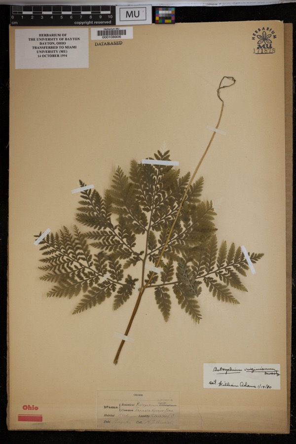 | Botrychium virginianum (L.) Sw. | 1897 | Winkler, H.J. | Woods, Cleveland. |
| Boraginaceae | 1850 | not recorded | Cleveland. | |
 | Carex canescens L. | 1850 | Illegible collector name | Cleveland. |
 | Catillaria tricolor (Lam.) Th.Fr. | 1854 | G. Dixon | Cleveland, Bousdale Hill |
 | Melanerpes carolinus (Linnaeus, 1758) | 1854 | Robert Kennicott | Cleveland |
 | Abrothallus parmeliarum (Sommerf.) Nyl., 1869 | 1860 | Mudd Wm. | Cleveland |
 | Thryothorus ludovicianus ludovicianus (Latham, 1790) | 1860 | not recorded | Cleveland |
 | Colaptes auratus luteus Bangs, 1898 | 1871 | Collector(s): unknown | Cleveland |
 | Timmia megapolitana Hedw. | 1871 | E. N. Claassen | |
 | Amaranthus blitoides S.Watson | 1874 | C. E. O. Kuntze | Cleveland |
All 2,842 specimens within 10 miles, at the Global Biodiversity Information Facility.
Mines and quarries near this place
8 within 5 milesRegional context, not property-specific evidence. The federal mineral resources record lists 8 workings within 5 miles of Independence: 4 producers, 4 past producers. 4 still produce. What was taken out: Clay, Sand and Gravel, Construction, Bloating Material, Stone, Crushed/Broken. Distance is straight-line from the map coordinates, so a quarry counted here may appear on a neighbouring settlement's page as well.
| Where | Site | Commodity | Status | Recorded |
|---|---|---|---|---|
| Independence | Bloating Material | Producer | Sedimentary | |
| Rockside Quarry | Stone, Crushed/Broken | Producer | ||
| Terra Visa Gravel Pit | Sand and Gravel, Construction | Past Producer | Sedimentary | |
| Terra Visa Gravel Pit | Sand and Gravel, Construction | Past Producer | ||
| Hydraulic Press Brick Company Pit | Clay | Past Producer | Sedimentary | |
| Hydraulic Press Brick Company Pit | Clay | Producer | ||
| Hydraulic Shale Pit | Clay | Producer | ||
| Independence Clay Pit | Clay | Past Producer |
Storms near this place
6 since 1996Regional context, not property-specific evidence. The National Weather Service names Independence in 6 storm reports between 1996 and 2017: 3 thunderstorm wind, 2 hail, 1 flood. No death or injury is recorded in these reports. Each account below is quoted exactly as the forecast office filed it, from the NOAA Storm Events Database, and each date opens the federal record of that event.
| When | Event | Place named | Harm | What the report says |
|---|---|---|---|---|
| January 2007 | Flood | Independence | $500,000 | Runoff from heavy rains on January 5th caused the Cuyahoga River at Independence to quickly rise. The river went above the flood stage of 16 feet during the evening hours of the 5th. The river crested at 20.64 feet around 4 a.m on the 6th and went back below flood stage during the late afternoon hours of the 6th. Significant flooding occurred in the Valley View area. Many homes and businesses along Canal Road and Gleeson, Charles, Frances and Stone Streets were damaged by flooding. |
| August 2009 | Thunderstorm Wind | Independence | $4,000 | Several large limbs were reported down. |
| May 2017 | Thunderstorm Wind | Independence | - | Thunderstorm winds downed a couple of trees. |
| August 2011 | Hail | Independence | - | Nickel sized hail was observed. |
| June 2000 | Hail | Independence | - | Dime to quarter size hail covered the ground. |
| July 1996 | Thunderstorm Wind | Independence | - | no account filed |
Nearest settlements
The eight closest, with where each one stands in the county. Distances are straight-line, computed from the Geographic Names Information System coordinates.
| Map | Place | Distance | Sheets |
|---|---|---|---|
| Southpark | 1.4 miles | 15 | |
| Valley View | 2.2 miles | 14 | |
| Alexander | 2.4 miles | 15 | |
| Pleasant Valley | 2.7 miles | 16 | |
| Seven Hills | 2.7 miles | 16 | |
| Walling Corners | 2.9 miles | 16 | |
| Willow | 3.1 miles | 16 | |
| Brecksville | 3.4 miles | 16 |
Elsewhere
Matched on this settlement's Geographic Names Information System number rather than its name, so it cannot be a different place of the same name in another state.
| Wikipedia article on Independence | An encyclopaedic summary. Its text is share-alike, so it is linked here rather than copied. |
| Wikidata item Q1942086 | The structured record the population and elevation above come from. Public domain (CC0). |
Provenance
This settlement is recorded in the Geographic Names Information System as feature 1064885. The sheet list is computed by point-in-boundary test against the United States Geological Survey's historical topographic inventory. Both are works of the United States government and carry no copyright under 17 U.S.C. 105.
Wildfire. Short, Karen C. 2022. Spatial wildfire occurrence data for the United States, 1992-2020 [FPA_FOD_20221014]. 6th Edition. Fort Collins, CO: Forest Service Research Data Archive. https://doi.org/10.2737/RDS-2013-0009.6 Collected with United States Government funding and usable without additional permissions or fees.
Specimens. Global Biodiversity Information Facility (GBIF), https://www.gbif.org/. Only records licensed CC0 or CC BY are used. Records licensed CC BY-NC are excluded because this site carries advertising. Images are checked individually and any whose licence is non-commercial, no-derivatives or unreadable is refused.
Mines and quarries. USGS Mineral Resources Data System (MRDS) https://mrdata.usgs.gov/mrds/ A work of the United States government, no copyright under 17 U.S.C. 105.
Storms. NOAA National Centers for Environmental Information, Storm Events Database https://www.ncei.noaa.gov/stormevents/ A work of the United States government, no copyright under 17 U.S.C. 105. Narratives are quoted verbatim from the National Weather Service report and are not edited or summarised.