 Block
Block
Brinley, Ohio
9 topographic sheets cover this place, the earliest surveyed in 1953 and the latest in 1986. It stands in Jefferson Township. It lies in ZIP code area 45347. It stands on Jocqueway Creek. The Survey maps it on the New Madison quadrangle.
Then and now
1953 to 1986The same ground, surveyed 33 years apart. Drag the handle to wipe between them. Both sheets are United States Geological Survey originals; neither has been altered.

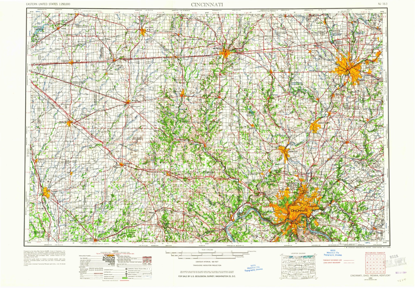
Topographic sheets covering this place
9 sheetsMatched by testing this settlement's coordinate against the published boundary of every sheet in the United States Geological Survey's historical collection. Each opens the scanned sheet at the Survey.
- 1953 USGS Cincinnati quadrangle1:250000
- 1953 USGS Cincinnati quadrangle1:250000
- 1953 USGS Cincinnati quadrangle1:250000
- 1957 USGS Cincinnati quadrangle1:250000
- 1960 USGS New Madison quadrangle1:24000
- 1960 USGS New Madison quadrangle1:24000
- 1960 USGS New Madison quadrangle1:24000
- 1986 USGS Dayton quadrangle1:100000
- 1986 USGS Dayton quadrangle1:100000






What happened here
An account from the chapter on Jefferson township, The inset identifies its exact source book and publication year.
Martyred For His Principles
One of the best remembered of the early citizens of Jefferson township was Thomas Barber, who became martyr to his anti-slavery principles in 1858 or 1859. He emigrated to Kansas about that time, just as the breaking out of the "Kansas troubles,, over the question of the extension of slavery. True to his principles, he took an active part in the contest there and soon became known as one of the hated "abolitionists." He was shot by an assassin.
In the county-history sources
10,147 words on this townshipThe county-history sources names this settlement in its chapter on Jefferson Township. These are the passages that mention it, exactly as the scans read.
Machine-read from a century-old scan, so expect the errors a machine makes: misspelled names, dropped words, stray characters.
Read the whole chapter on Jefferson Township - it names this place 2 more 2 times.
Specimens collected near this place
12 of 339 shownRegional context, not property-specific evidence. Museums hold 339 specimens collected within 10 miles of Brinley between 1876 and 1974: 335 Animalia, 3 Plantae, 1 Fungi. 12 distinct Species records are shown. Collected by Cole, G., F. White, G. R. Austing and others. Each is a physical object with a catalogue number, and each entry opens the museum's record. This is what was collected and kept, not a survey of what lives here - nothing can be concluded from a species being absent.
| Image | Species | Year | Collected by | Where, as recorded |
|---|---|---|---|---|
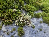 | Hedwigia ciliata (Hedw.) P.Beauv. | 1876 | not recorded | New Paris |
 | Gymnosporangium juniperi-virginianae Schwein. | 1928 | Mendenhall E. W. | New Paris |
 | Campostoma anomalum anomalum | 1930 | MB Trautman | Whitewater River, at New Paris, Jefferson Twp |
 | Catostomus commersonnii commersonnii (Lacepède, 1803) | 1930 | MB Trautman | Whitewater River, at New Paris, Jefferson Twp |
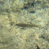 | Chrosomus erythrogaster (Rafinesque, 1820) | 1930 | Trautman, M. B. (Milton Bernard) & Foster, R. (Robert) | East Fork Whitewater River, at New Paris, ~0.4 mi NW of New Paris, Jefferson township |
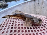 | Cottus bairdii Girard, 1850 | 1930 | MB Trautman | Whitewater River, at New Paris, Jefferson Twp |
 | Etheostoma blennioides Rafinesque, 1819 | 1930 | MB Trautman | Whitewater River, at New Paris, Jefferson Twp |
 | Etheostoma caeruleum Storer, 1845 | 1930 | MB Trautman | Whitewater River, at New Paris, Jefferson Twp |
 | Etheostoma nigrum Rafinesque, 1820 | 1930 | MB Trautman | Whitewater River, at New Paris, Jefferson Twp |
 | Etheostoma spectabile (Agassiz, 1854) | 1930 | MB Trautman | Seven Mile Creek, trib of the Miami River at Gettysburg, Jefferson Twp |
 | Hypentelium nigricans (Lesueur, 1817) | 1930 | MB Trautman | Whitewater River, at New Paris, Jefferson Twp |
 | Lepomis cyanellus Rafinesque, 1819 | 1930 | MB Trautman | Seven Mile Creek, trib of the Miami River at Gettysburg, Jefferson Twp |
All 339 specimens within 10 miles, at the Global Biodiversity Information Facility.
Mines and quarries near this place
2 within 5 milesRegional context, not property-specific evidence. The federal mineral resources record lists 2 workings within 5 miles of Brinley: 1 past producer, 1 producer. 1 still produces. What was taken out: Sand and Gravel, Construction, Stone, Crushed/Broken. Distance is straight-line from the map coordinates, so a quarry counted here may appear on a neighbouring settlement's page as well.
| Where | Site | Commodity | Status | Recorded |
|---|---|---|---|---|
| New Paris Pit | Sand and Gravel, Construction | Past Producer | ||
| Springfield Limestone Quarry #223 | Stone, Crushed/Broken | Producer |
Nearest settlements
The eight closest, with where each one stands in the county. Distances are straight-line, computed from the Geographic Names Information System coordinates.
| Map | Place | Distance | Sheets |
|---|---|---|---|
| Hamburg | 3.4 miles | 9 | |
| Eldorado | 3.5 miles | 9 | |
| New Paris | 3.8 miles | 12 | |
| Gettysburg | 3.9 miles | 8 | |
| Orangeburg (historical) | 3.9 miles | 8 | |
| Ebenezer | 4.3 miles | 8 | |
| Belfast (historical) | 4.5 miles | 12 | |
| Cedar Springs | 4.8 miles | 12 |
Provenance
This settlement is recorded in the Geographic Names Information System as feature 1062665. The sheet list is computed by point-in-boundary test against the United States Geological Survey's historical topographic inventory. Both are works of the United States government and carry no copyright under 17 U.S.C. 105.
Specimens. Global Biodiversity Information Facility (GBIF), https://www.gbif.org/. Only records licensed CC0 or CC BY are used. Records licensed CC BY-NC are excluded because this site carries advertising. Images are checked individually and any whose licence is non-commercial, no-derivatives or unreadable is refused.
Mines and quarries. USGS Mineral Resources Data System (MRDS) https://mrdata.usgs.gov/mrds/ A work of the United States government, no copyright under 17 U.S.C. 105.