 Block
Block
Gettysburg, Ohio
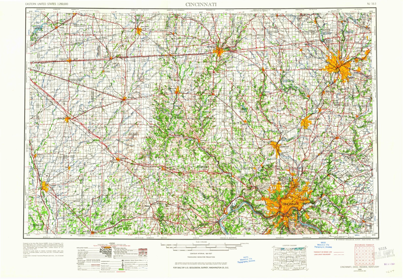
8 topographic sheets cover this place, the earliest surveyed in 1953 and the latest in 1986. It stands in Jefferson Township. It lies in ZIP code area 45347. The Survey maps it on the Eaton North quadrangle.
Then and now
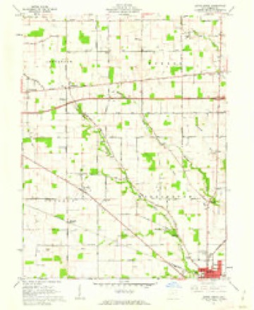
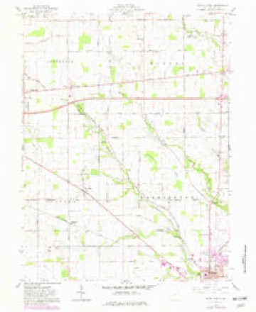
1953 to 1986The same ground, surveyed 33 years apart. Drag the handle to wipe between them. Both sheets are United States Geological Survey originals; neither has been altered.

Topographic sheets covering this place
8 sheetsMatched by testing this settlement's coordinate against the published boundary of every sheet in the United States Geological Survey's historical collection. Each opens the scanned sheet at the Survey.
- 1953 USGS Cincinnati quadrangle1:250000
- 1953 USGS Cincinnati quadrangle1:250000
- 1953 USGS Cincinnati quadrangle1:250000
- 1957 USGS Cincinnati quadrangle1:250000
- 1960 USGS Eaton North quadrangle1:24000
- 1960 USGS Eaton North quadrangle1:24000
- 1986 USGS Dayton quadrangle1:100000
- 1986 USGS Dayton quadrangle1:100000






What happened here
An account from the chapter on Jefferson township, The inset identifies its exact source book and publication year.
Martyred For His Principles
One of the best remembered of the early citizens of Jefferson township was Thomas Barber, who became martyr to his anti-slavery principles in 1858 or 1859. He emigrated to Kansas about that time, just as the breaking out of the "Kansas troubles,, over the question of the extension of slavery. True to his principles, he took an active part in the contest there and soon became known as one of the hated "abolitionists." He was shot by an assassin.
In the county-history sources
10,147 words on this townshipHistory of Preble County Ohio: Her People, Industries and Institutions, published 1915 names this settlement in its chapter on Jefferson Township. These are the passages that mention it, exactly as the scans read.
A watershed, which passes through Somers, Israel, Dixon and Jackson township, enters Jefferson in section 33, trends nearly north into section 22 and then east and northeast into the northwest corner of Monroe, through section 12 of Jefferson. This divides the waters flowing westerly into Whitewater and easterly into Seven Mile creek, which takes its rise in section 22, in a county ditch, which runs southeasterly and passes out of the township a short distance below the hamlet of Gettysburg.
Passage source: History of Preble County Ohio: Her People, Industries and Institutions, published 1915.
Gettysburg is the only village in the township besides New Paris. It is located in the northwest corner of section 36, on the old National road. It was laid out in 1832, about the time the National road was projected, by John Currv, a native of Pennsylvania. It was first called Harrisburg, but this was later changed to Gettysburg, after Gettysburg, Pennsylvania. It was one of the many towns projected along the line of the National road, for the railroad was then undreamed of, and it was supposed by these early promoters that the National road would be a great national artery of communication which would eventually be thronged with travel. Accordingly, prospective towns were located every few miles, and a "tavern" was built in each among the first buildings. Only a little more than a mile west of Gettysburg, Orangeburg was projected, and a number of houses were erected, but Gettysburg outstripped it. Doubtless, if the early expectations had been realized, many of these towns would have become places of note, but within a few years the railroad was developed, it was seen that it would revolutionize transportation, the government dropped the further construction of the National road and the hopes of all these rudimentary towns were blasted. The half dozen or so buildings which once constituted Orangeburg have all disappeared but one. The town plat was long since cancelled, and it is now simply a crossroads and a farm house, though the name still clings to the locality. Gettysburg still survives as a pleasant little hamlet, with a store and two pretty churches, one Methodist and one Presbyterian. It will never, however, realize the dreams of its founder.
Passage source: History of Preble County Ohio: Her People, Industries and Institutions, published 1915.
Many of the pioneers of Jefferson township were men and women of strong religious convictions, and very early in the history of the township their activities along this line resulted in the establishment of churches. One such man was Alexander Porter, who, as early, perhaps, as 1820, founded a United Presbyterian church near where Gettysburg now stands. It was located in what is now the cemetery. The building was of logs and has long since disappeared. It is said that for some time after the house was built it was without a floor and that the congregation sat on the sleepers to listen to the sermons. Later, about 1847, a frame church was built in Gettysburg, and in the sixties Rev. James McNeal was its pastor for several years. Still later, under the pastorate of Rev. John Wiseman, the congregation came over to the Presbyterian faith. Rev. David Tawney, Caleb Jones and David Green were pastors.
Passage source: History of Preble County Ohio: Her People, Industries and Institutions, published 1915.
Machine-read from a century-old scan, so expect the errors a machine makes: misspelled names, dropped words, stray characters.
Read the whole chapter on Jefferson Township - it names this place 5 more 5 times.
Specimens collected near this place
12 of 785 shownRegional context, not property-specific evidence. Museums hold 785 specimens collected within 10 miles of Gettysburg between 1876 and 1974: 765 Animalia, 12 Fungi, 8 Plantae. 12 distinct Species records are shown. Collected by A.R. Gaufin, H.H. Ross, Arden R. Gaufin, B. Fink and others. Each is a physical object with a catalogue number, and each entry opens the museum's record. This is what was collected and kept, not a survey of what lives here - nothing can be concluded from a species being absent.
| Image | Species | Year | Collected by | Where, as recorded |
|---|---|---|---|---|
 | Hedwigia ciliata (Hedw.) P.Beauv. | 1876 | not recorded | New Paris |
 | Uria lomvia lomvia (Linnaeus, 1758) | 1896 | Stewart, R. T. (Robert T.) | Israel Twp, Fairhaven, Preble, Ohio, USA |
 | Septoria oenotherae Westend. | 1901 | W. A. Kellerman | |
 | Porella platyphylla (L.) Pfeiff. | 1910 | Braun, Lucy E. | |
 | Physcia subtilis Degelius | 1914 | B. Fink | Eaton |
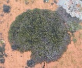 | Scoliciosporum umbrinum (Ach.) Arnold | 1914 | Fink, B. | Eaton |
 | Steccherinum pulcherrimum (Berk. & M.A.Curtis) Banker | 1925 | M.L. Lohman | Eaton |
 | Gymnosporangium juniperi-virginianae Schwein. | 1928 | Mendenhall E. W. | New Paris |
 | Macrochilo absorptalis Walker, 1859 | 1929 | Klots, A.B. | Lewisburg |
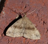 | Phalaenostola eumelusalis Walker, 1859 | 1929 | Klots, A.B. | Lewisburg |
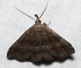 | Phalaenostola larentioides Grote, 1873 | 1929 | Klots, A.B. | Lewisburg |
 | Campostoma anomalum anomalum | 1930 | MB Trautman | Whitewater River, at New Paris, Jefferson Twp |
All 785 specimens within 10 miles, at the Global Biodiversity Information Facility.
Storms near this place
3 since 1997Regional context, not property-specific evidence. The National Weather Service names Gettysburg in 3 storm reports between 1997 and 2022: 2 hail, 1 flood. No death or injury is recorded in these reports. Each account below is quoted exactly as the forecast office filed it, from the NOAA Storm Events Database, and each date opens the federal record of that event.
| When | Event | Place named | Harm | What the report says |
|---|---|---|---|---|
| March 2022 | Flood | Gettysburg | - | Numerous roads were closed due to high water throughout the county. |
| July 2000 | Hail | Gettysburg | - | no account filed |
| March 1997 | Hail | Gettysburg | - | no account filed |
Nearest settlements
The eight closest, with where each one stands in the county. Distances are straight-line, computed from the Geographic Names Information System coordinates.
| Map | Place | Distance | Sheets |
|---|---|---|---|
| Ebenezer | 1.3 miles | 8 | |
| Orangeburg (historical) | 1.4 miles | 8 | |
| Belfast (historical) | 3.1 miles | 12 | |
| New Hope | 3.4 miles | 8 | |
| Brinley | 3.9 miles | 9 | |
| Cedar Springs | 3.9 miles | 12 | |
| Hamburg | 4.0 miles | 9 | |
| New Westville | 4.0 miles | 12 |
Provenance
This settlement is recorded in the Geographic Names Information System as feature 1064718. The sheet list is computed by point-in-boundary test against the United States Geological Survey's historical topographic inventory. Both are works of the United States government and carry no copyright under 17 U.S.C. 105.
Specimens. Global Biodiversity Information Facility (GBIF), https://www.gbif.org/. Only records licensed CC0 or CC BY are used. Records licensed CC BY-NC are excluded because this site carries advertising. Images are checked individually and any whose licence is non-commercial, no-derivatives or unreadable is refused.
Storms. NOAA National Centers for Environmental Information, Storm Events Database https://www.ncei.noaa.gov/stormevents/ A work of the United States government, no copyright under 17 U.S.C. 105. Narratives are quoted verbatim from the National Weather Service report and are not edited or summarised.