60 topographic sheets and 40 fire insurance
atlases across 7 places.
Research this county
This curated hub for Preble County, Ohio brings together the page's documented record links, visible map or image evidence where published, and routes to related local records.
Use the page's provenance and linked records to distinguish the source material from the site's navigation and summaries.
How should I cite it?
Open the original record, preserve its repository and identifier, then use the citation tool for this page as a path back to the source.
Where should I go next?
Follow the county or state hub for related places and records, then use the guide for a source-aware research sequence.
From the record
“The grove just north of the corporation line of New Paris, in which the first religious services were held, was chosen as the city of the dead.. The first burial was that of Levi Moore, who was buried about the year Alexander Penland, a lad who was drowned in a neighboring spring, was the second person buried in the old cemetery.”
The Old Cemetery - History of Preble County Ohio: Her People, Industries and Institutions (1915). Machine-read text.
16 National Register listings · 50 businesses named in the fire insurance atlases from 1892 to 1927 · the 1915 county history tells 6 stories and names 226 people · people the book names include Nathan Hornaday (Gratis Township, 1915) · John Acton (Washington Township, 1900) (machine-read).
Ohio within the United StatesPreble County within Ohio
Explore by year
What the record shows
7 places in this county were surveyed for fire insurance: Lewisburg, West Alexandria, Eaton, New Paris, El Dorado, West Manchester, Camden, between 1885 and 1951.
40 fire insurance atlas(es) survive for the county. Topographic coverage is national; fire insurance survey reached only incorporated places with something worth insuring.
493 topographic sheet readings cover the county's settlements.
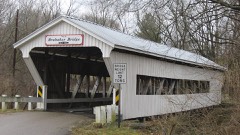
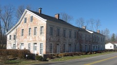
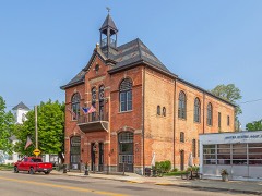
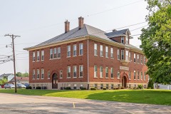
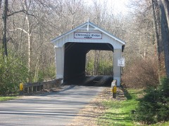
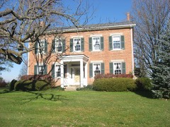
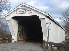
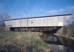
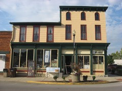
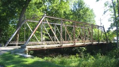
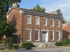
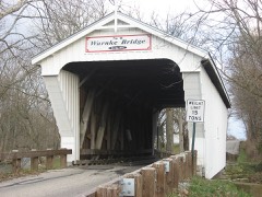
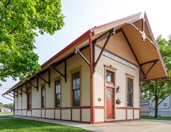
16 properties here are on the National Register of Historic Places, including 6 covered bridges, 4 houses and farms.
8 of the 16 listings were added during the 1970s.
The Geographic Names Information System records 48 populated places in this county; 0 are covered by at least one topographic sheet.
4 public-domain county histories, 1881 to 1915, supply 603,083 words of narrative reproduced here in full.
What happened here
6 accounts
A captivity, a drowning, a famine, a man
scalped clearing his lot in 1789. These are passages from History of Preble County Ohio: Her People, Industries and Institutions, written
while people who remembered the events were still alive, and each one
opens the section it comes from.
1915, Jefferson Township
Martyred For His Principles
One of the best remembered of the early citizens of Jefferson township was Thomas Barber, who became martyr to his anti-slavery principles in 1858 or 1859. He emigrated to Kansas about that time, just as the breaking out of the "Kansas troubles,, over the question of the extension of slavery. True to his principles, he took an active part in the contest there and soon became known as one of the hated "abolitionists." He was shot by an assassin.
The most fearful calamity that ever befell the town was in July and August, 1849, still styled in local annals the cholera year. The disease seemed to come into this county as an epidemic from Boston, Indiana, which was on the stage route from Cincinnati to Richmond. _ Eaton at that time had a population of about twelve hundred.
The first graveyard in the township is in section nineteen, on the Indiana line, on the farm now occupied by Jacob Crowell. It was laid out by the pioneers of the- Elkhorn settlement. The first person buried there was a young man named Thomas Hollett, killed by a falling tree. Hereare buried John Bozworth, Michael Crowell, Elijah Wade, and others of the fisrt settlers.
In 1844 Daniel Winder started a paper, whose name was larger than its history. The New Paris Post and State Line Sentinel was the name of this four page sheet, which was devoted to news rather than politics, and to miscellany rather than either news or politics. The paper and its editor were enterprising, but lack of patronage killed it.
The grove just north of the corporation line of New Paris, in which the first religious services were held, was chosen as the city of the dead.. The first burial was that of Levi Moore, who was buried about the year Alexander Penland, a lad who was drowned in a neighboring spring, was the second person buried in the old cemetery.
The subject of this sketch was born in Rockingham county, Virginia, on the seventeenth day of May, 1792, and with his father, Jacob Kesler, who served as a soldier in the Revolution, emigrated to Preble county, Ohio, and settled on a farm about one mile south of Lewisburgh, in the year 1811. In the following year, 1812, reports having reached the settlements that the Indians were becoming troublesome, and that several families had been massacred near Greenville, Ohio, a company under Captain Fleming, in which he acted as a private, was sent out against them, but on arriving at their destination, they found that the Indians, after having murdered several persons, had fled.
Taken for the Office of War Information and
the Farm Security Administration, who photographed the country between
1935 and 1944. Works of United States government photographers, with no
known restriction on use. Each opens its catalogue record.
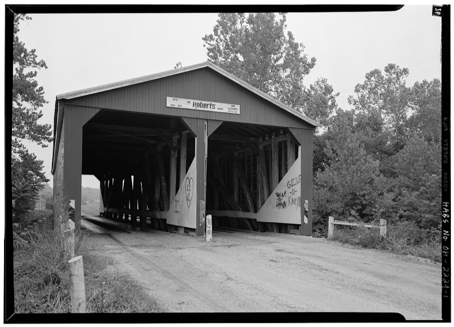
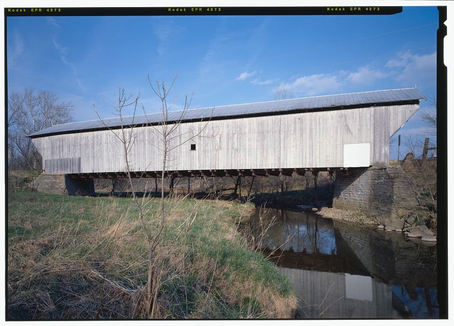
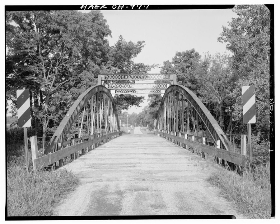
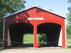
Roberts Bridge, Old Camden Pike, Spanning Seven Mile Creek, Eaton, Preble County, OH Unattributed, . Library of CongressHarshman Bridge, Spanning Four Mile Creek, Concord-Fairhaven Road, Fairhaven, Preble County, OH Unattributed, . Library of CongressJunction Road Bridge, Junction Road (Township Road 235)spanning Four Mile Creek, Morning Sun, Preble County, OH Unattributed, . Library of Congress
Places on the National Register
16
Every property in this county listed on the
National Register of Historic Places, with the year it was listed and the
federal nomination document.
Preble County holds 6 covered bridges on
the National Register, more than any other property type here. Each is a listed
structure with a federal nomination on file.
Drawn when these were printed as
single large sheets: the town seen from the air, and the county
divided into its farms with every owner named. Each opens the
original at the Library of Congress.
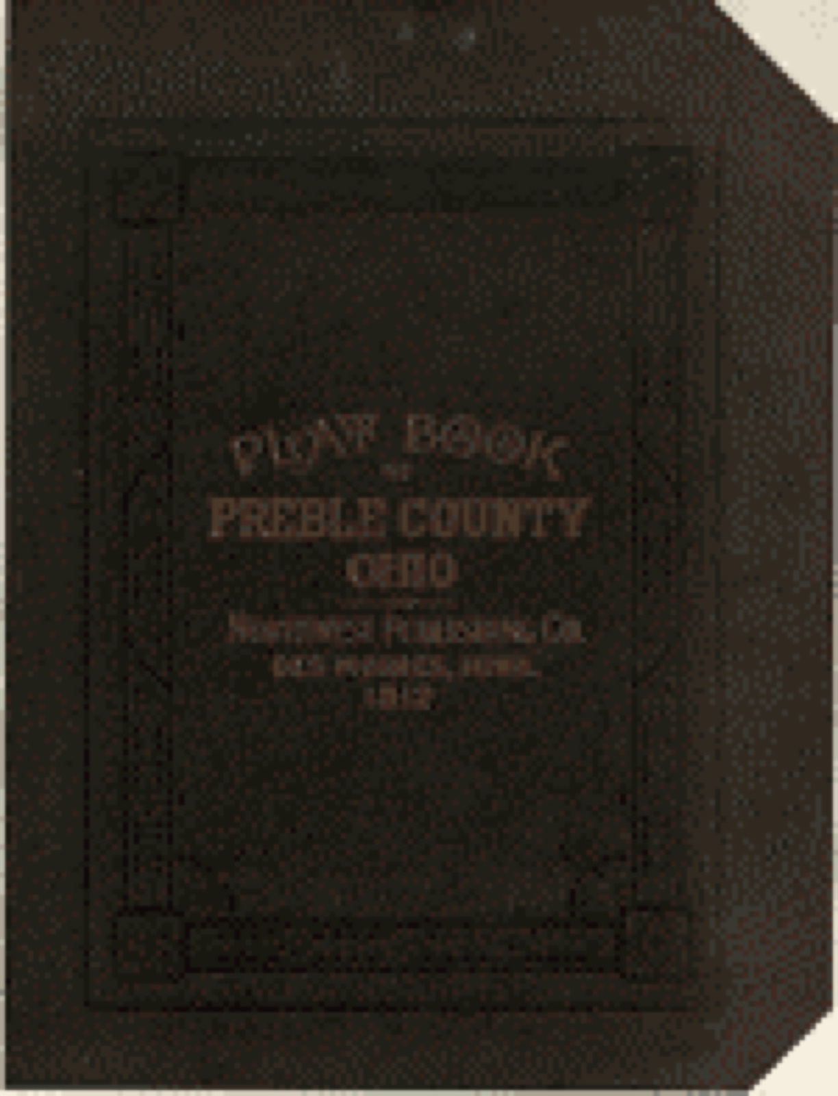
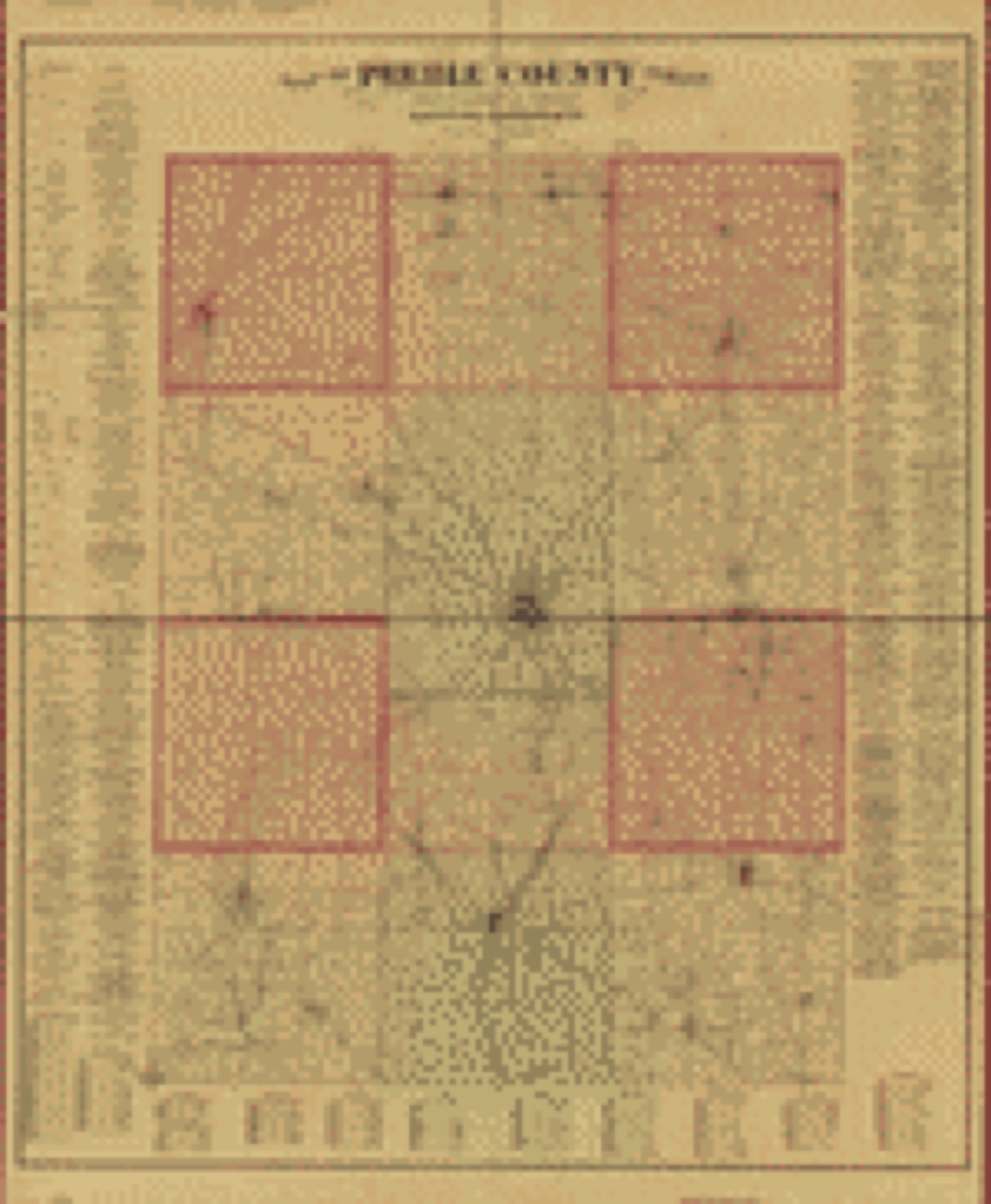
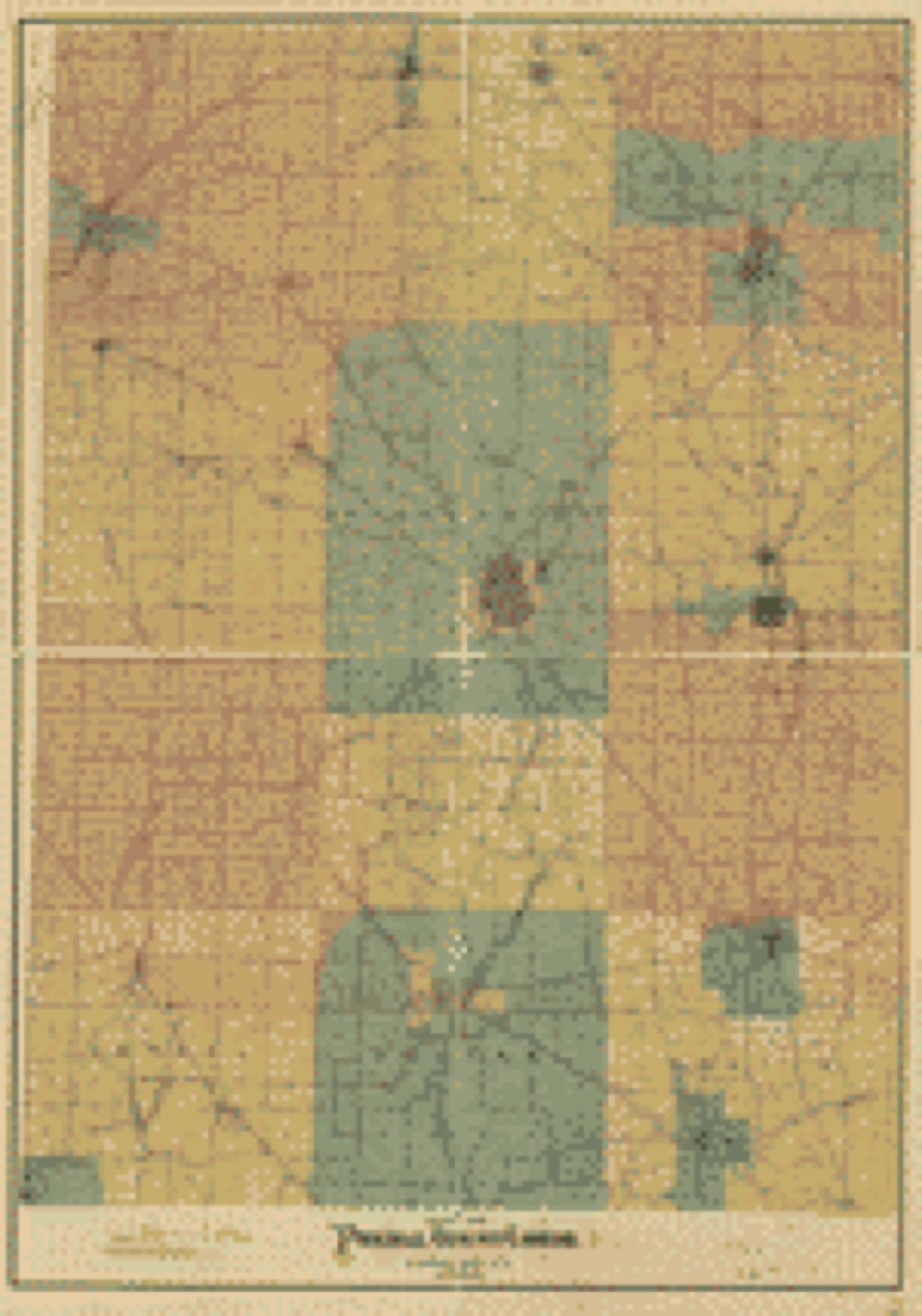
Land ownership map (1912) - Plat book of Preble County, Ohio : compiled from county records and actual surveys. Library of Congress.Land ownership map (1887) - Map of Preble County, Ohio. Library of Congress.Land ownership map (1897) - Map of Preble County, Ohio. Library of Congress.
Photographs from libraries nationwide
1 of 2 shown
Selected from the Digital Public Library
of America's 2 image records catalogued for this county. Every
one shown here carries a public-domain status or a licence that permits
reuse on a site that carries advertising; non-commercial, share-alike
and restricted images are excluded. The selection is spread across the
county's towns (at most eight per town), so no single institution's
bulk upload crowds out the rest. Each opens the holding library's
record, and
the complete set at the
Digital Public Library of America is one click away.
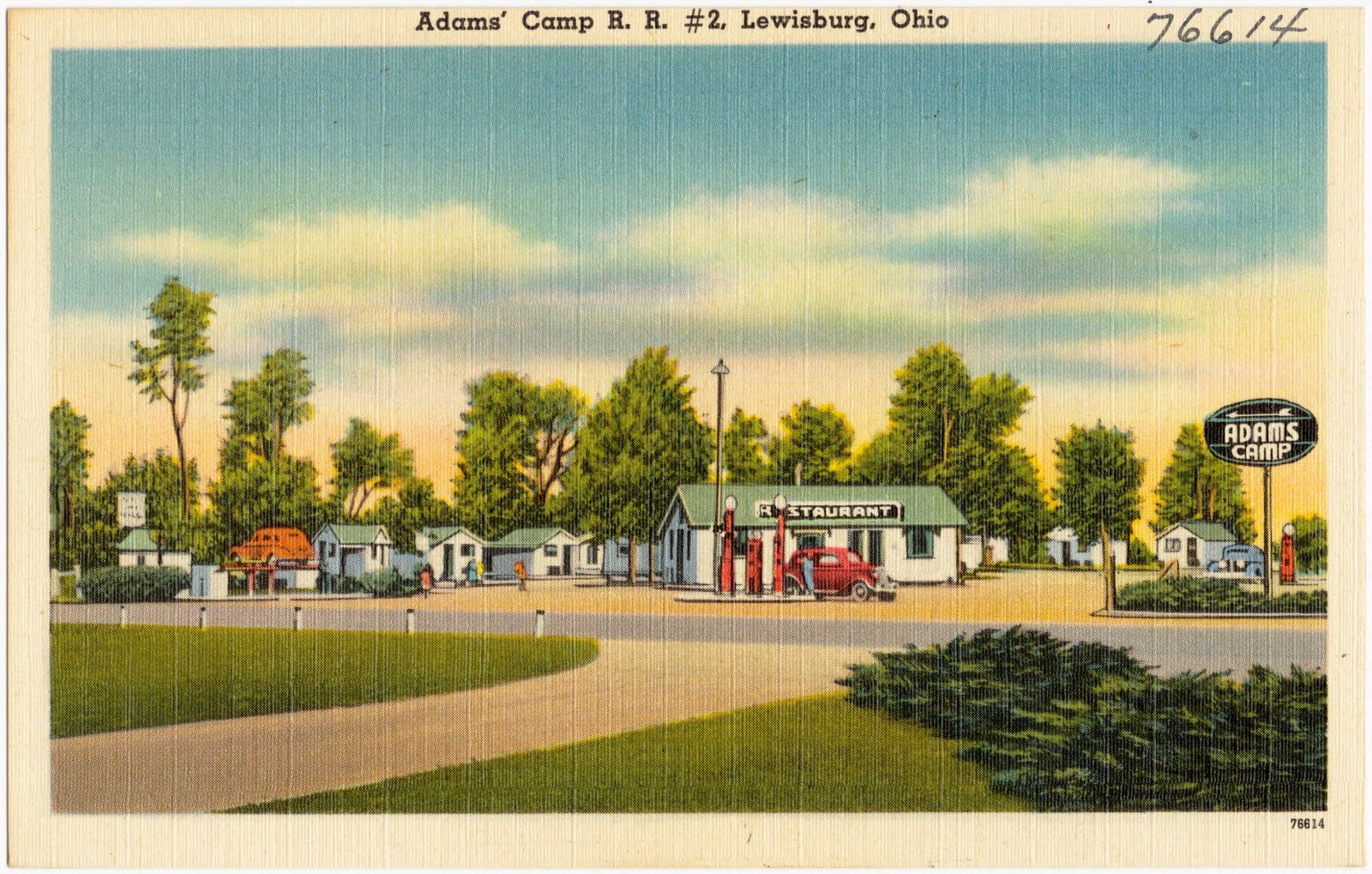
Adam's Camp R. R. #2, Lewisburg, Ohio. Boston Public Library, via the Digital Public Library of America.
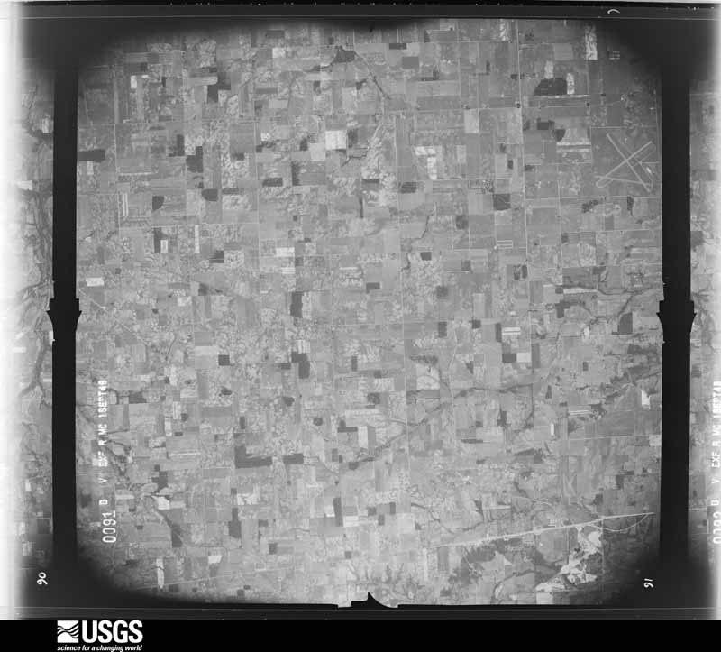
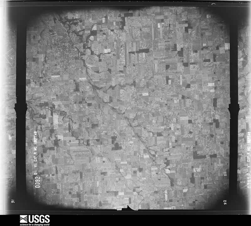
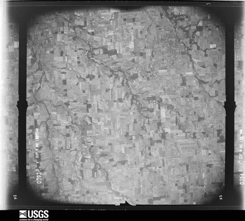
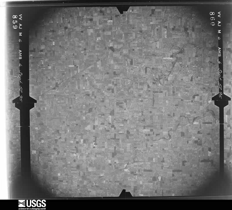
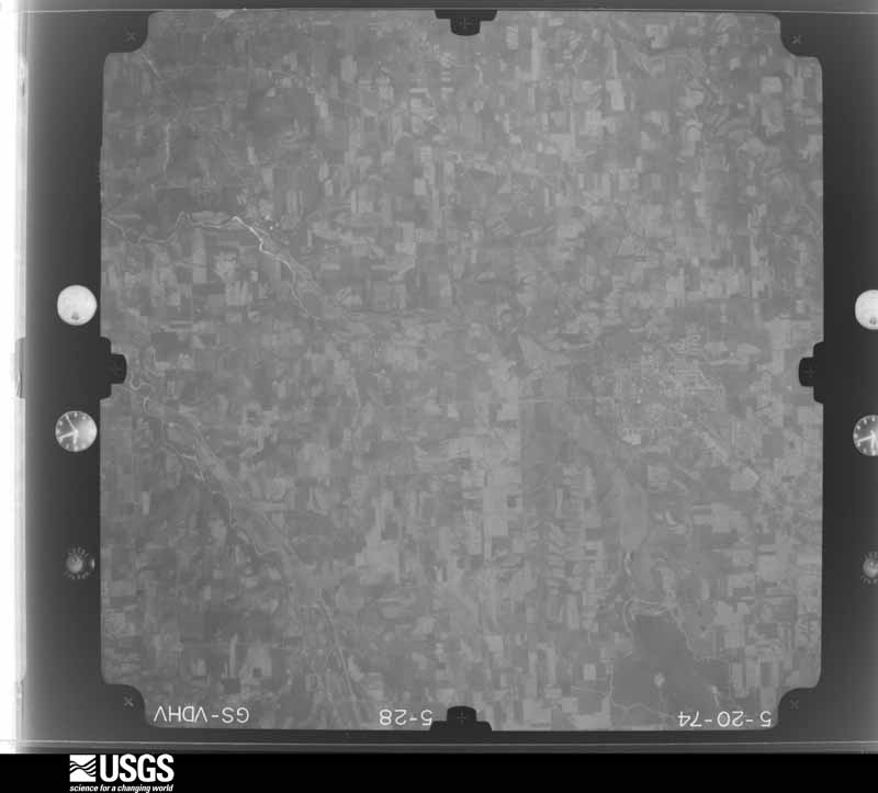
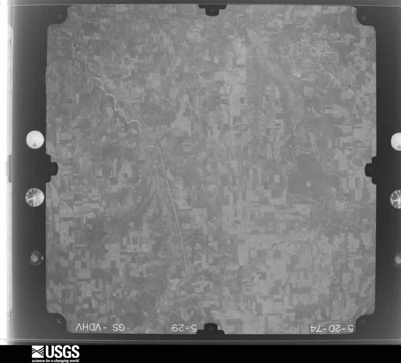
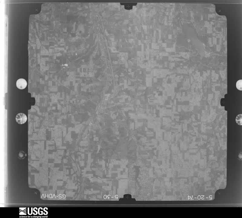
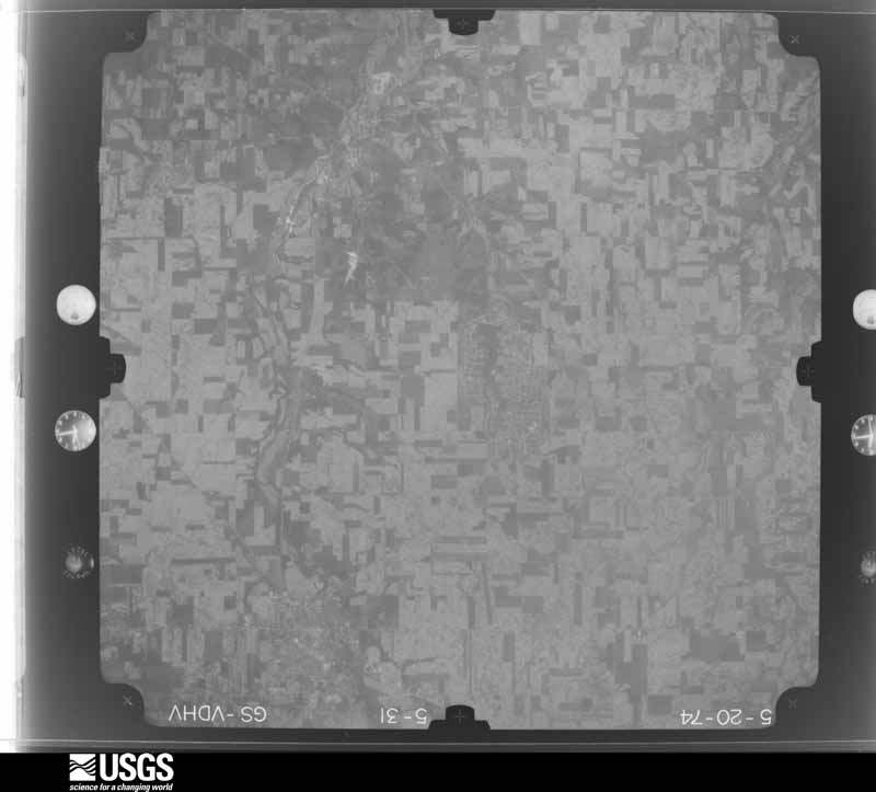
The county from the air
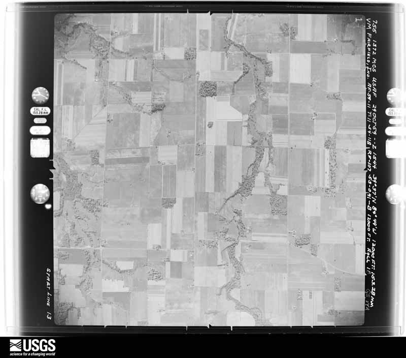
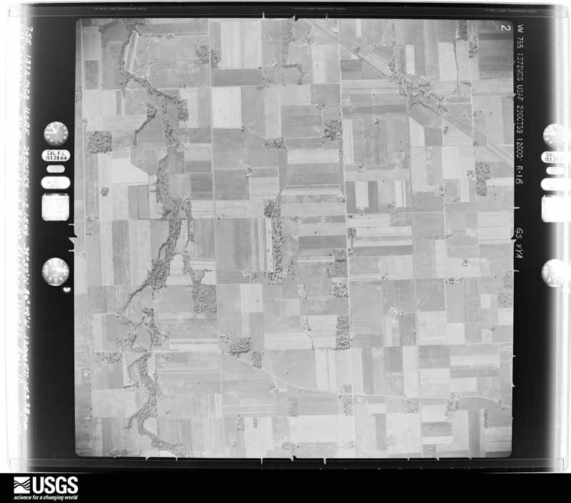
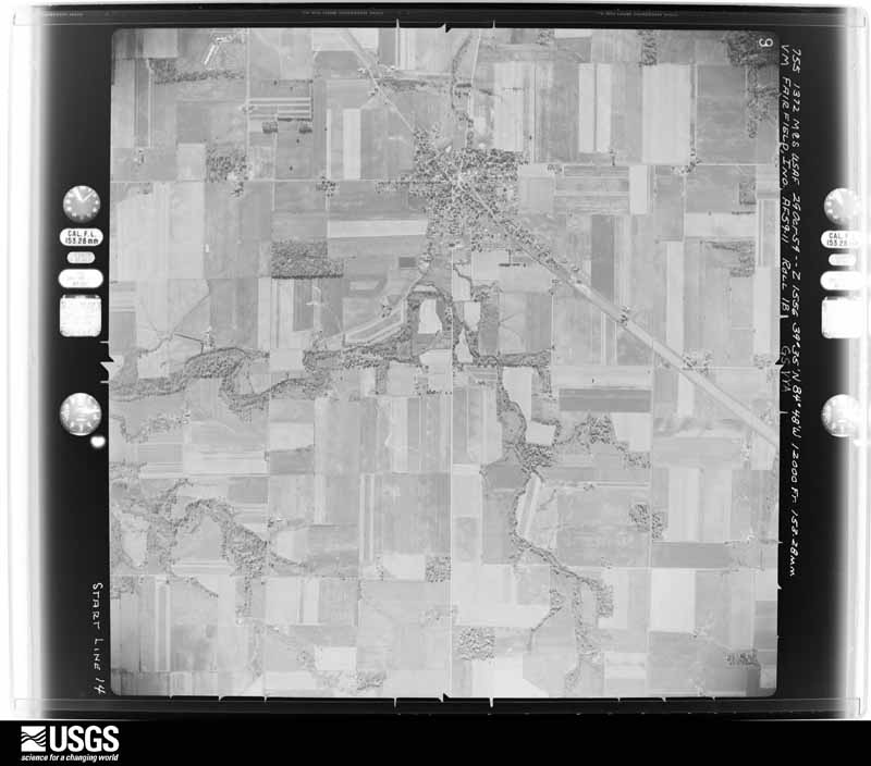
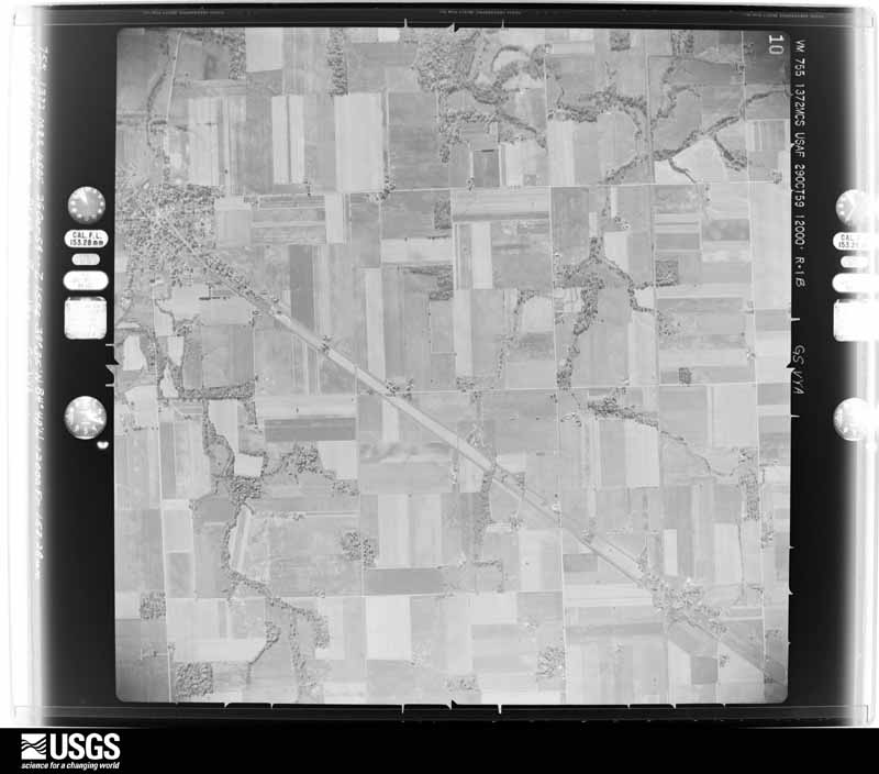
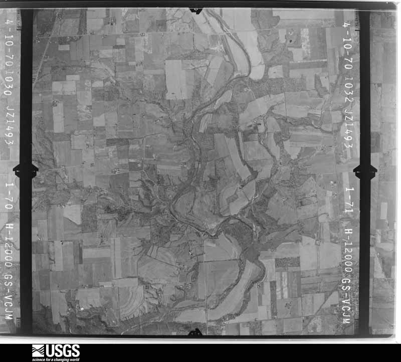
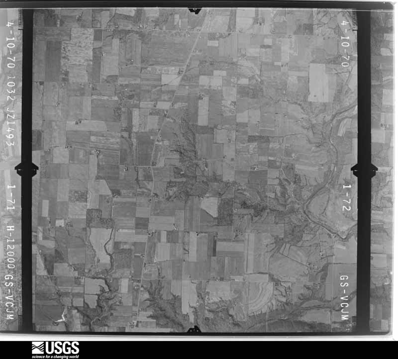
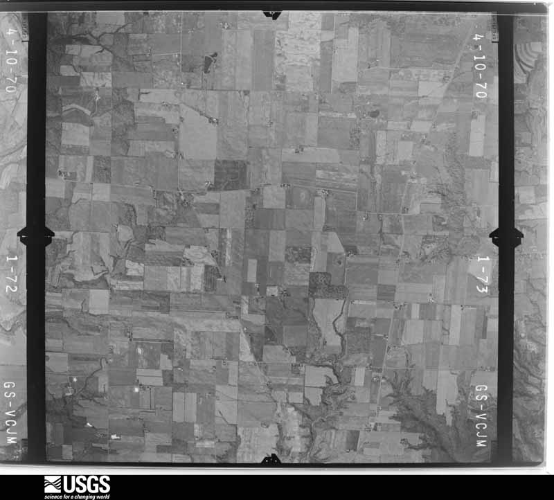
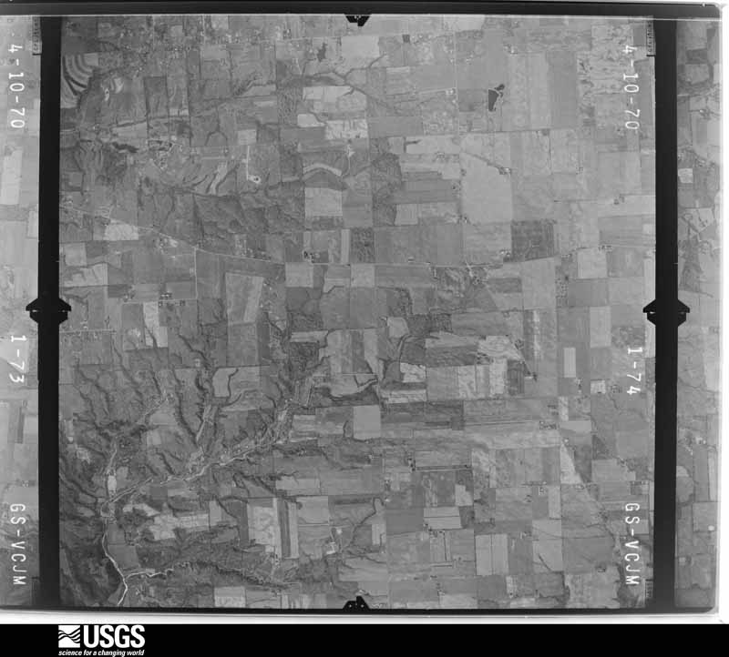
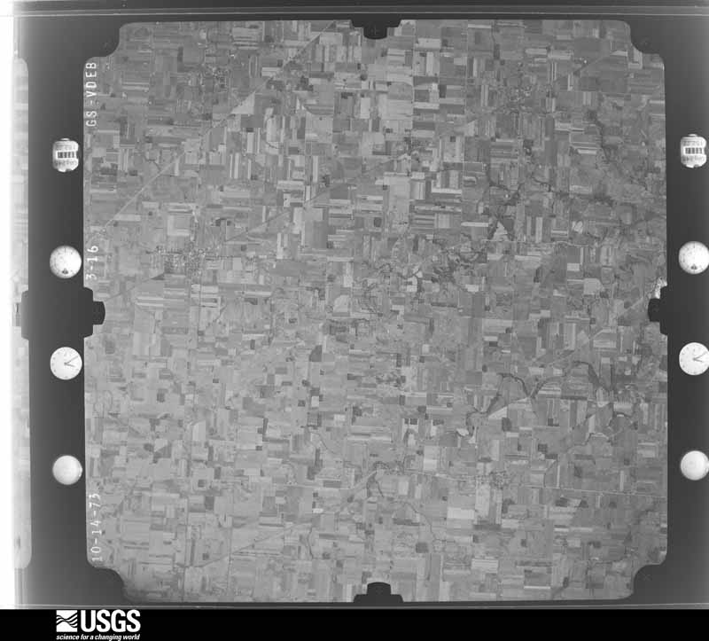
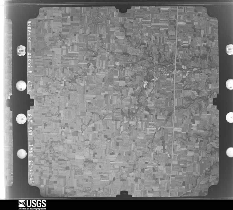
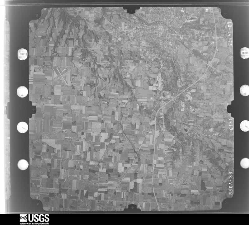
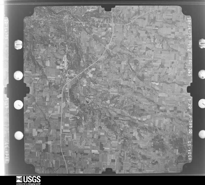
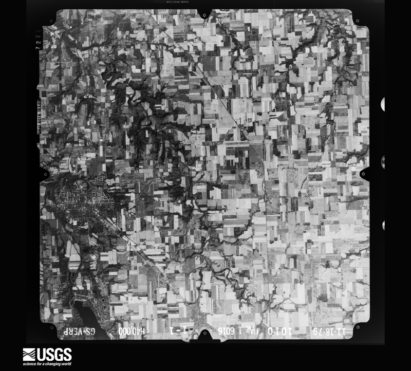
40 of 474 shown
Flown by the U.S. Geological Survey
between 1937 and 1989, the Aerial Photo Single Frames collection is
the definitive mid-century view of the land: fields, roads and rivers
as the camera saw them. 474 frames touch this county; the
selection below spreads across the decades of flights (at most four
per year), so one flight cannot crowd out the rest. The full set is
free to browse and download at
EarthExplorer under the dataset Aerial Photo Single
Frames.
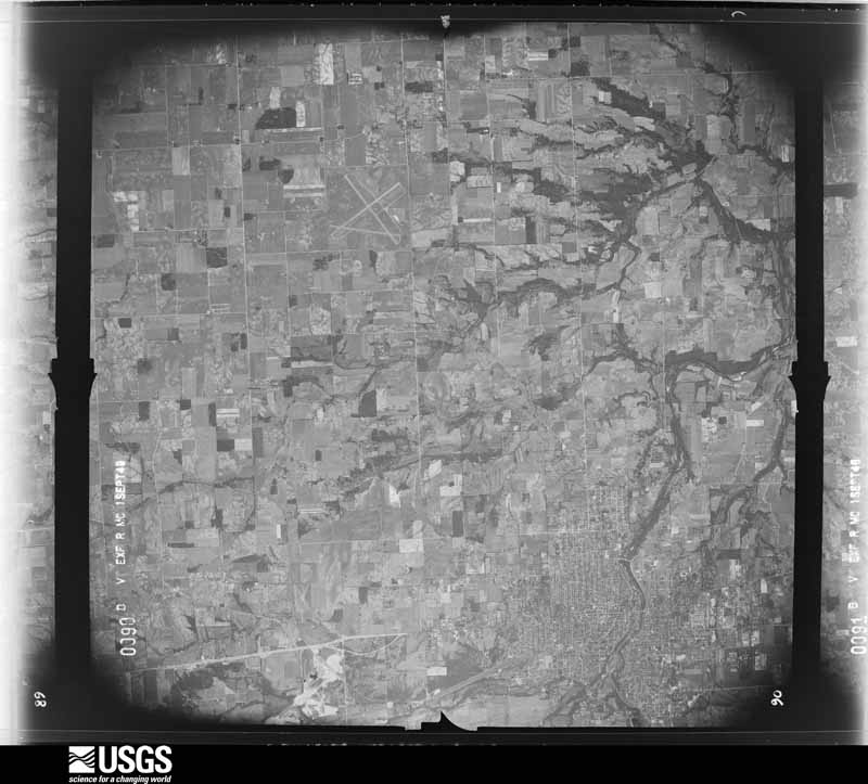
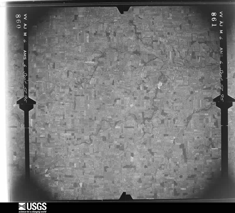
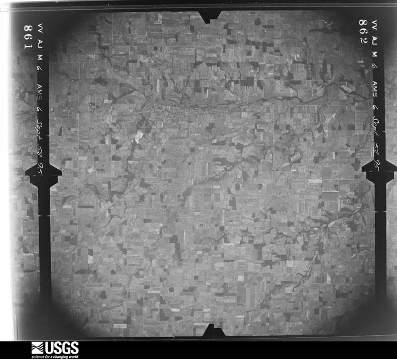
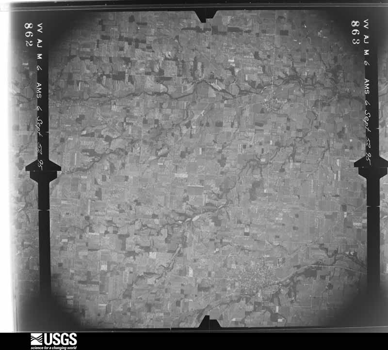
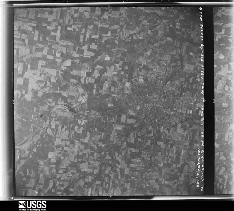
1948-09-01, scale 1:67634. U.S. Geological Survey aerial photograph.1948-09-01, scale 1:67634. U.S. Geological Survey aerial photograph.1948-09-01, scale 1:67634. U.S. Geological Survey aerial photograph.1948-09-01, scale 1:67634. U.S. Geological Survey aerial photograph.1952-09-06, scale 1:69000. U.S. Geological Survey aerial photograph.1952-09-06, scale 1:69000. U.S. Geological Survey aerial photograph.1952-09-06, scale 1:69000. U.S. Geological Survey aerial photograph.1952-09-06, scale 1:69000. U.S. Geological Survey aerial photograph.1955-10-22, scale 1:84990. U.S. Geological Survey aerial photograph.1955-10-22, scale 1:84990. U.S. Geological Survey aerial photograph.1957-05-07, scale 1:70397. U.S. Geological Survey aerial photograph.1959-10-29, scale 1:24000. U.S. Geological Survey aerial photograph.1959-10-29, scale 1:24000. U.S. Geological Survey aerial photograph.1959-10-29, scale 1:24000. U.S. Geological Survey aerial photograph.1959-10-29, scale 1:24000. U.S. Geological Survey aerial photograph.1970-04-10, scale 1:24000. U.S. Geological Survey aerial photograph.1970-04-10, scale 1:24000. U.S. Geological Survey aerial photograph.1970-04-10, scale 1:24000. U.S. Geological Survey aerial photograph.1970-04-10, scale 1:24000. U.S. Geological Survey aerial photograph.1971-05-16, scale 1:121613. U.S. Geological Survey aerial photograph.1971-05-16, scale 1:120281. U.S. Geological Survey aerial photograph.1971-05-16, scale 1:122586. U.S. Geological Survey aerial photograph.1971-05-16, scale 1:119184. U.S. Geological Survey aerial photograph.1972-07-18, scale 1:126000. U.S. Geological Survey aerial photograph.1972-07-18, scale 1:126000. U.S. Geological Survey aerial photograph.1972-08-16, scale 1:128000. U.S. Geological Survey aerial photograph.1972-08-16, scale 1:128000. U.S. Geological Survey aerial photograph.1973-10-01, scale 1:76000. U.S. Geological Survey aerial photograph.1973-10-01, scale 1:76000. U.S. Geological Survey aerial photograph.1973-10-01, scale 1:76000. U.S. Geological Survey aerial photograph.1973-10-01, scale 1:76000. U.S. Geological Survey aerial photograph.1974-05-01, scale 1:76000. U.S. Geological Survey aerial photograph.1974-05-01, scale 1:76000. U.S. Geological Survey aerial photograph.1974-05-01, scale 1:76000. U.S. Geological Survey aerial photograph.1974-05-01, scale 1:76000. U.S. Geological Survey aerial photograph.1978-04-01, scale 1:80000. U.S. Geological Survey aerial photograph.1979-11-01, scale 1:80000. U.S. Geological Survey aerial photograph.1979-11-01, scale 1:80000. U.S. Geological Survey aerial photograph.1979-11-01, scale 1:80000. U.S. Geological Survey aerial photograph.1979-11-01, scale 1:80000. U.S. Geological Survey aerial photograph.
City directories
2 volumes
The "who lived here, by year" answer:
pre-1929 public-domain directory volumes naming the county's people,
machine-read and searchable as text.
New Paris, 1838248,386 entries, machine-read (93% measured quality)
Weather records
10 stations, 2 gages
The thermometers that kept this
county's weather, and the gages that watched its rivers, as the
federal records hold them. The extremes below are measured values
from those records, not estimates.
GREEN1893 to 1924, hottest 41.1 C, coldest -31.1 C
EATON1915 to 2026, hottest 38.9 C, coldest -37.2 C
Who lived here in 1950, one enumeration
district at a time, as the Census Bureau described each district.
Each row opens its official National Archives result, with Population
Schedules and ED Maps available there.
68-1Dixon township: Dixon township - That part east of Four Mile Creek
68-2Dixon township - That part west of Four Mile Creek
68-6Gratis township - That part east of State Hwy. 503, outside Gratis and West Elkton villages
68-7Gratis township - That part west of State Hwy. 503, outside Gratis and West Elkton villages
68-8Harrison township: Lewisburg village: Lewisburg village - That part Bounded by Village limits; Village limits; Clay; Main, Village limits
68-9Lewisburg village - That part Bounded by Village limits; Main, Clay, Village limits; Village limits; Village limits
68-10Verona village - That part in Preble County comprising parts of Harrison township (Remainder of Verona village is in Clay township, Montgomery County)
68-11Harrison township - That part east of State Hwy. 503, outside Lewisburg and Verona villages
68-12Harrison township - That part west of State Hwy. 503, outside Lewisburg village
68-13Israel township: College Corner village - That part in Preble County, comprising part of Israel township (Remainder of College Corner village is in Oxford township, Butler County)
68-14Israel township - That part northeast of State Hwy. 177
68-15Israel township - That part southwest of State Hwy. 177, outside College Corner village
68-16Jackson township: Jackson township - That part north of Pennsylvania Railroad
68-17Jackson township - That part south of Pennsylvania Railroad
68-18Jefferson township: New Paris village: New Paris village - That part north of Main
68-28Monroe township - That part northeast of Price Creek, outside Eldorado and West Manchester villages
68-29Monroe township - That part southeast of Price Creek, outside Eldorado village
68-30Somers township: Camden village: Camden village - That part north of Central Ave. (State Hwy. 725)
68-31Camden village - That part south of Central Ave. (State Hwy. 725)
68-32Somers township - That part east of U.S. Hwy. 127, outside Camden village
68-33Somers township - That part west of U.S. Hwy. 127, outside Camden village
68-34Twin township, outside West Alexandria village: Twin township - That part east of State Hwy. 503, outside West Alexandria village
68-35Twin township - That part west of State Hwy. 503, outside West Alexandria village (Remainder of Twin township is in West Alexandria village)
68-36Washington township: Eaton village: Eaton village - That part comprising Ward 1 Bounded by Main; South Cherry, Ward line; Village limits; Village limits
68-37Eaton village - That part comprising Ward 2 Bounded by Main, Village limits; Village limits; Village limits; Ward line, South Cherry
68-38Eaton village - That part comprising Ward 3 Bounded by Ward line; South Barron; Main; Village limits
68-39Eaton village - That part comprising Ward 4 Bounded by McCabe, Ward line; Village limits; Main; South Maple
68-40Eaton village - That part comprising Ward 5 Bounded by Village limits; Ward line, North Cherry; McCabe, North Barren, Ward line; Village limits
68-41Eaton village - That part comprising Ward 6 Bounded by Village limits; Village limits; Ward line, McCabe; North Cherry, Ward line
68-42Eaton village - That part comprising Ward 7 Bounded by McCabe; South Maple; Main; South Barron
68-43Washington township - That part east of U.S. Hwy. 127, outside Eaton village
68-44Washington township - That part west of U.S. Hwy. 127 and northeast of U.S. Hwy. 35, outside Eaton village
68-45Washington township - That part southwest of U.S. Hwy. 35 and west of U.S. Hwy. 127, outside Eaton village
Businesses named in the atlases
50 businesses
Every Sanborn volume opens with a printed index
naming the town's mills, tanneries, hotels and works by proprietor. Those
indexes were read off the scanned sheets by machine and then matched to each
other, so a business surveyed four times appears here once, with the years it
survived. 11 of these 50 were named in more than one atlas. Each carries a
crop of the line it was read from: the spelling is the recogniser's and the
1880s lithographer's, and the scan behind it is the proof.
The
NOAA Storm Events Database holds
330 reports for this county, causing 0 deaths,
2 injuries and about $31,361,103 in recorded property damage.
Each settlement page carries the reports that name it.
Kind of event
Reports
Thunderstorm Wind
193
Hail
61
Flash Flood
38
Flood
18
Tornado
17
Heavy Rain
3
The most serious of them, by death, then
injury, then recorded damage. The accounts are quoted exactly as the
forecast office filed them.
Two bridges washed out, one of which was completely destroyed, on Fairhaven-College Corner Road and Buck Paxton Road. Little Four Mile Creek came out of its banks along both roads.
The beginning of the observed damage was at the northeast corner of Leon Drive, where one tree was downed. Damage became more significant in a park on Dorsey Akers Drive, where numerous large trees were completely uprooted. Minor damage was observed in a residential area in the southeast quadrant of West Alexandria, with a few trees downed and one outbuilding losing a portion of its roof.||Damage was more significant at an industrial facility just south of U.S. 35 on the east side of West Alexandria. An old masonry building suffered partial roof loss and the collapse of most of the east-facing wall. Numerous trees were also downed at this property, with minor roofing and facade damage to a modern industrial building, and a dumpster was lofted and moved about 100 feet to the north of its original location.||On the north side of U.S. 35 near Twin Creek, tree damage was observed at a private residence, with a very large and very old oak tree snapped low on its 3 to 4 foot diameter trunk. Several other residential properties on the north side of U.S. 35 had minor structural and tree damage and one outbuilding of poor construction, about 1400 feet west of Jordan Road, was completely demolished. Sheet metal from this outbuilding was carried at least a half mile downstream. Tree damage was noted along Jordan Road and Preble County Line Road, with several large trees uprooted. A residence on the west side of Preble County Line Road suffered the loss of a porch overhang and an ornamental column near the front entry. Near this location, the tornado crossed into into Montgomery County. The tornado continued to move northeast across western Montgomery County before dissipating about 3 miles south of Brookville at 2001EST .
The beginning of the observed damage was at a property on the east side of Toby Road. Numerous trees were snapped or uprooted at this location, with facade damage to a house, likely caused at least in part by impact from the falling trees. Minor tree damage was also observed northeast of this location along Miller Williams Road.||Extensive tree damage was noted at a property on Washington Jackson Road, about a half mile west of U.S. 35. The most significant structural damage at this location was the complete removal of the west-facing portion of the roof over the smaller section of the house. There was also significant damage to siding on the east-facing side of the same house, with mud and dirt splatter noted against the south and east facing walls. Significant shingle loss was also noted on the roof of the larger section of the house. Further to the northeast, one power pole was downed on U.S. 35.||Damage at a property on Eaton New Hope Road was among the more significant observed from this tornado. A barn was heavily damaged, with the collapse of the western side of the structure, including a masonry wall. Much of the material from this section of the barn was carried northeast, with a large amount of sheet metal carried over 600 feet in distance, and a few pieces of sheet metal carried as far as 2000 feet away. Tree damage was extensive at this property as well. At the next property to the northeast, a house suffered siding loss on multiple sides, with a few trees and large limbs also snapped.||A few trees were downed along both sides of Eaton Gettysburg Road, about a half mile north of the intersection with Eaton New Hope Road. The end of the observed damage was to several trees to the east of the intersection of U.S. 127 and State Route 726.||Based on the damage to the home on Washington Jackson Road and to the barn on Eaton New Hope Road, an EF1 rating was assigned, with an estimated maximum wind speed of 90 mph.
The first sign of tornadic damage appeared near the intersection of Hawley Mills Road and New Paris Twins Road, where uprooted trees and a significant loss of roof panels from a barn occurred. The tornado continued to uproot trees off of New Paris Twins Road and caused some walls of an older barn building to collapse before traveling further northeastward through some open fields.||The next points of damage were observed near the intersection of New Paris Twins Road and Rawley Road. Here, multiple barns had an observed loss of metal roof panels, with one barn in particular showing more extensive damage with some bent/collapsed barn doors. One of the residential homes also displayed some paneling damage on the back side of the building.||Near the end of its path, the tornado uprooted multiple trees and caused another barn door to cave inwards. The final damage noted from this tornado occurred off of Gettysburg Darke Rd, where significant loss of a barn roof occurred and pieces of the sheet metal were tossed into the yard and nearby trees. The tornado is believed to have dissipated shortly after this location.
Damage was first observed northwest of Wheatville along State Route 122 between Quaker Trace Road and Yost Road. This is believed to be where the tornado first touched down. A section of wood and metal roofing material measuring approximately 55 feet by 15 feet was lifted from the northeast side of a barn and strewn for approximately 100 feet to the northeast, and a lesser distance to the northwest. A utility pole was also snapped at this location. Eyewitness accounts from the residents indicated the damage resulted from a visible circulation that passed through the property. The residents also pointed out a section of metal roofing material from this location that was carried approximately 0.35 miles north-northeast and deposited in an area of trees. The damage here was assessed to be in the mid range EF1 category.||A second debris field was found along Halderman Road just west of the intersection with Quaker Trace Road. A barn measuring approximately 65 feet by 45 feet was completely destroyed just south of the road. Wood and metal roofing material from this barn was strewn over approximately one-half mile in a very confined path. The debris was oriented to the north-northeast for much of the total distance, although an initial jog to the west was visible in the immediate vicinity of the barn. The final pieces of debris were visible in a field about one-quarter mile north of Halderman Road. No further damage was observed or reported north of this location so this area is believed to be where the tornado lifted. A close inspection of the barn was not possible due to its location on private property, but the visible debris and available aerial imagery indicated it was not of new construction. It is also unknown if any parts of the structure were open to the wind prior to being destroyed. For these reasons the damage at this location was also assessed to be in the mid range EF1 category.
The tornado first touched down on Weist Road, east of Route 227. Numerous trees up to one foot in diameter were knocked down. The most significant damage was to a large tree limb which was blown down and punctured the roof of a house. In addition, two large barn doors were blown in and a side barn door was ripped off and blown to the north-northwest about 20 yards. A few windows and sections of the barn were also damaged.||The tornado appears to have moved northeast across a field, then produced additional damage to trees at a residence on Wolverton Road, just south of Paddock Road. The tornado dissipated shortly afterwards.
Fifteen or more large trees were knocked down near Eaton High School. An equipment trailer and a marching band tower were blown over by high wind, and there was damage to fencing at the athletic complex. Also, shingle damage occurred to roofs along Hillcrest Drive from wind and hail.
A tornado touched down near Lewisburg and produced scattered damage along a two mile path. A barn sustained damage along Shields Road. A house lost part of its roof near the Interstate 70-State Route 503 interchange just south of Lewisburg. There was extensive tree damage in vicinity of the house, with some of the tree debris dropped into a creek bed behind the house.
A two story 100 foot by 100 foot barn was destroyed. A camper was blown into the road near the intersection of US Route 35 and Wayne Trace Road just east of Eaton.
One barn was severely damaged and another one was completely destroyed by the thunderstorm winds. Two vehicles sustained minor damage, and several trees were knocked down.
Several trees and power poles were downed. A barn also lost some roofing material on the northwest corner of U.S. Route 35 and Preble County Line Road.
Two homes were flooded in the Lakengren community and several evacuations were needed. Several roads were flooded and closed across southern Preble County, including Morning Sun Road.
A house and barn sustained roof and siding damage. Power poles were knocked down.
Mines and
quarries
11 recorded
The Survey's mineral resources record
lists 11 workings inside this county. 6 still
produce and 5 are closed or unrecorded. Each settlement
page carries the workings within five miles of it.
Commodity
Workings
Sand and Gravel, Construction
8
Stone, Crushed/Broken
2
Limestone, General
1
The least common of them first, because a
county's hundredth gravel pit says nothing its first ten did not.
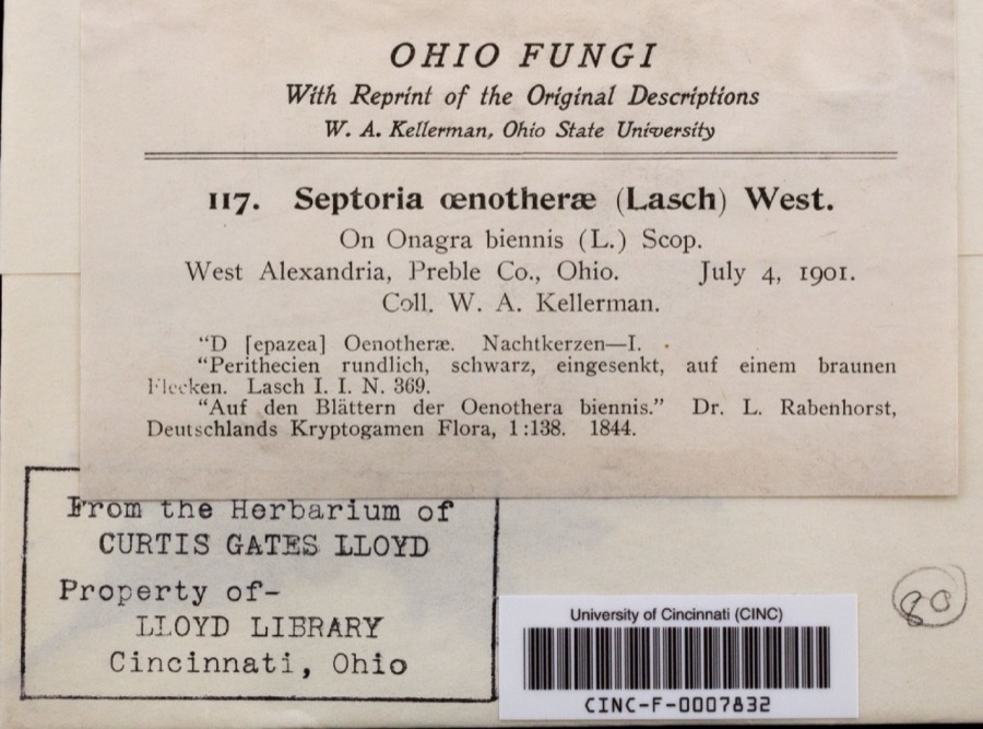
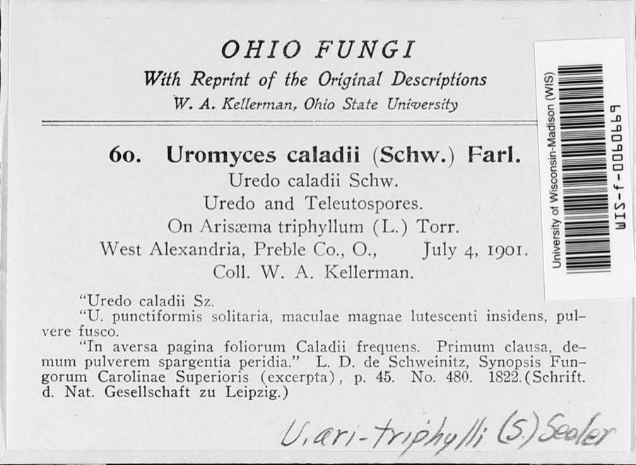
Museum specimens collected inside this
county and catalogued with a date and a place: 1,306 of them, by
kingdom 1,027 animalia, 181 fungi, 93 plantae, 5 protozoa. Each is a physical object in a named collection, not a
sighting. Held by USNM, BPI, KU, Ohio State University - Fish Division, Columbus, OH (OSUM), INHS, UMMZ among others, and each settlement page carries
the specimens collected near it.
The oldest of them. A specimen proves
something was collected on that day; its absence proves nothing.
History of Preble County Ohio: Her People, Industries and Institutions devotes a chapter to each township:
its boundaries and streams, who settled it and when, the mills, the
schools and the churches. All 13 are reproduced here in full. Each row
shows the township's own shape and where it lies in the county, drawn from
the Census Bureau's boundary. Which settlements belong to which township
is computed from that same boundary, not taken from the book.
Everyone History of Preble County Ohio: Her People, Industries and Institutions stops to write about, with
the section that describes them. Among them are the men who founded the
place and governed the Territory. Each name opens the passage itself, in
the words of 1915.
Named settlements recorded in the Geographic Names
Information System, each with the topographic sheets covering it. Villages,
hamlets and abandoned places alike. Each is shown with the watercourse or
landform it stands on and the survey quadrangle it falls on. The 7
places that were also surveyed for fire insurance come first, with the
number of atlases and photographs held for them.
The complete index, with nothing left out.
Each of these is a separate record with its own page: a federal survey
report, or the case file that argued a property on to the National
Register. Both are public domain and reproduced word for word.
Topographic sheets. USGS Historical Topographic Map Collection, county index, measured from the bulk metadata.
Fire insurance maps. Library of Congress Sanborn collection, faceted to this county.
Photographs. Each place queried individually against the Library of Congress Prints and Photographs search.
Wildfire. Short, Karen C. 2022. Spatial wildfire occurrence data for the United States, 1992-2020 [FPA_FOD_20221014]. 6th Edition. Fort Collins, CO: Forest Service Research Data Archive. https://doi.org/10.2737/RDS-2013-0009.6 Collected with United States Government funding and usable without additional permissions or fees.
Specimens. Global Biodiversity Information Facility (GBIF), https://www.gbif.org/. Only records licensed CC0 or CC BY are used. Records licensed CC BY-NC are excluded because this site carries advertising. Images are checked individually and any whose licence is non-commercial, no-derivatives or unreadable is refused.
Mines and quarries. USGS Mineral Resources Data System (MRDS) https://mrdata.usgs.gov/mrds/ A work of the United States government, no copyright under 17 U.S.C. 105.
Storms. NOAA National Centers for Environmental Information, Storm Events Database https://www.ncei.noaa.gov/stormevents/ A work of the United States government, no copyright under 17 U.S.C. 105. Narratives are quoted verbatim from the National Weather Service report and are not edited or summarised.
 Block
Block