 Block
Brookline Village, Massachusetts
46 topographic sheets cover this place, the earliest surveyed in 1893 and the latest in 1989. It stands in Brookline town. It lies in ZIP code area 02445. It lies near Aspinwall Hill. The Survey maps it on the Boston South quadrangle.
Then and now
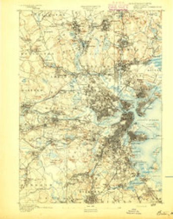
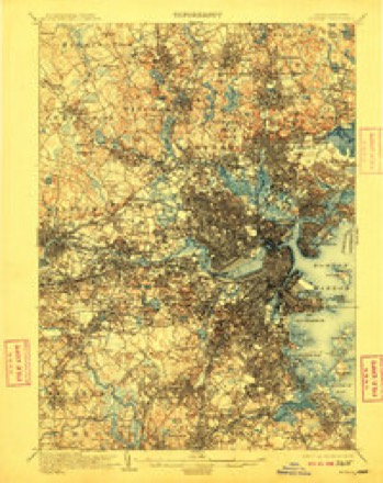
1893 to 1989The same ground, surveyed 96 years apart. Drag the handle to wipe between them. Both sheets are United States Geological Survey originals; neither has been altered.
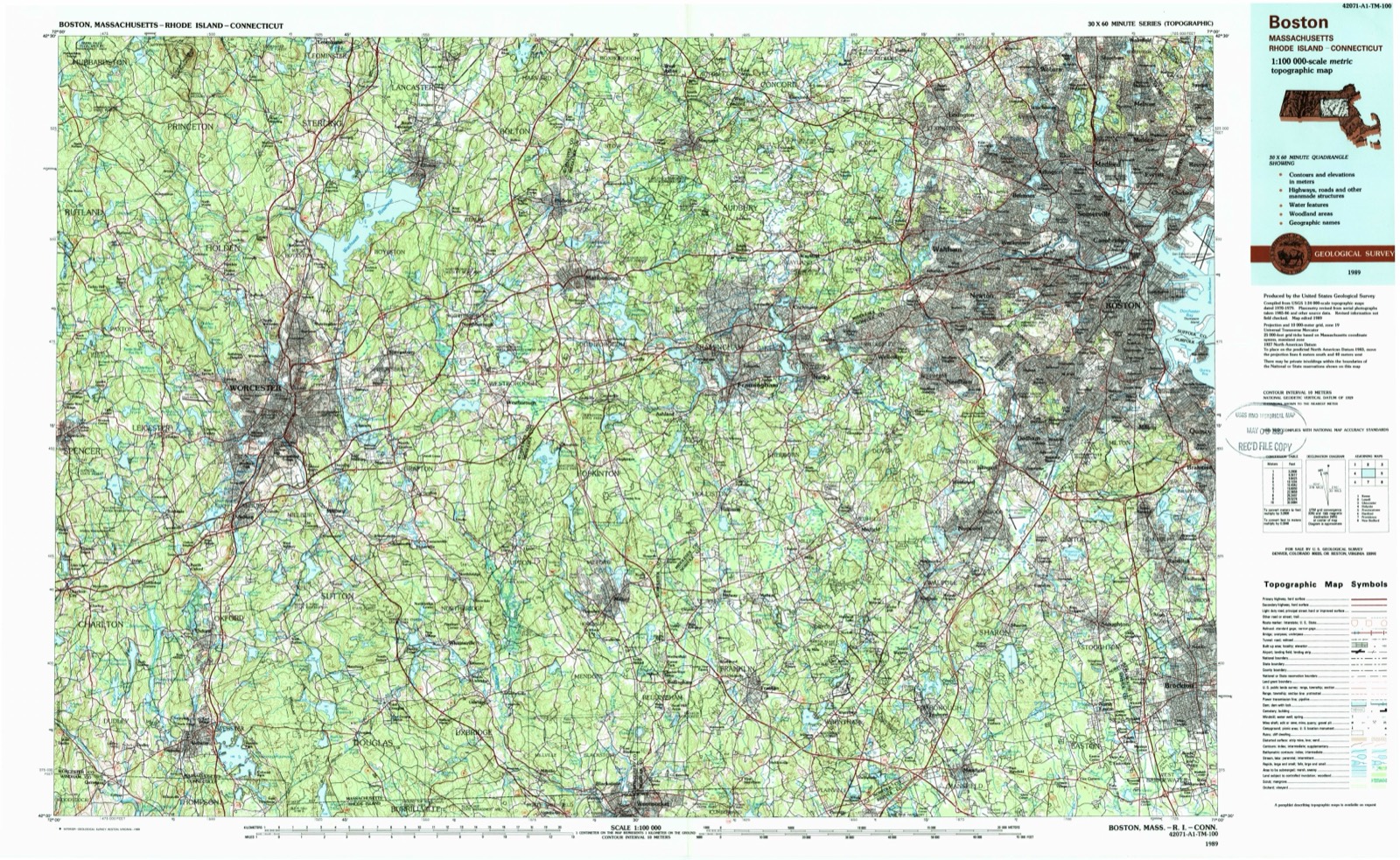
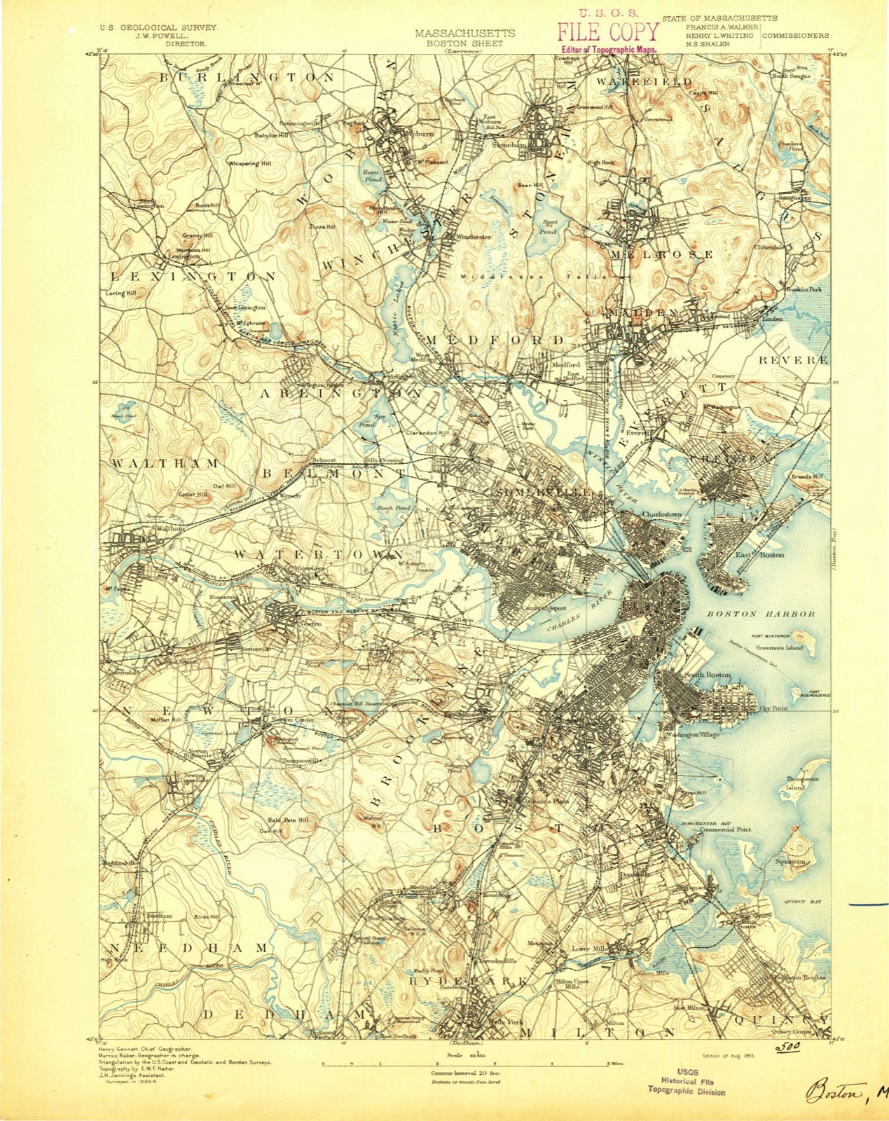
On record in Brookline Village
Buildings and businesses the archive holds for this place. Each opens its own page, with the source record it came from.
On the National Register within a mile 12 of 56 shown
The National Register names another town for these. They stand within one mile of this settlement's coordinate.
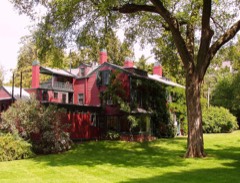 Olmsted, Frederick Law, House, National Historic SiteNational Historic Landmark · listed 1966 · 1.0 miles away
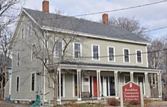 House at 38-40 Webster Placelisted 1985 · 0.0 miles away
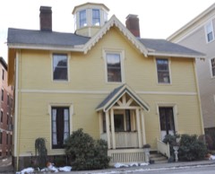 Thomas Aspinwall Davis Houselisted 1985 · 0.1 miles away
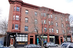 Building at 30-34 Station Streetlisted 1985 · 0.1 miles away
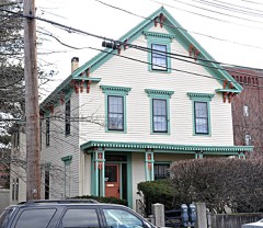 Ginery Twitchell Houselisted 1985 · 0.1 miles away
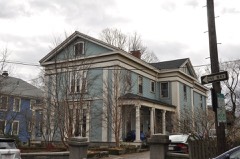 House at 53 Linden Streetlisted 1985 · 0.1 miles away
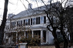 House at 19 Linden Streetlisted 1985 · 0.1 miles away
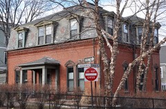 House at 44 Linden Streetlisted 1985 · 0.1 miles away
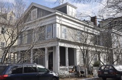 House at 12 Linden Streetlisted 1985 · 0.1 miles away
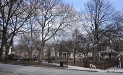 Linden Squarelisted 1985 · 0.2 miles away
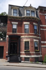 Hotel Adelaidelisted 1985 · 0.2 miles away
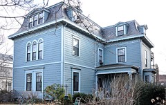 House at 9 Linden Streetlisted 1985 · 0.2 miles away
Topographic sheets covering this place
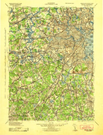
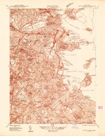
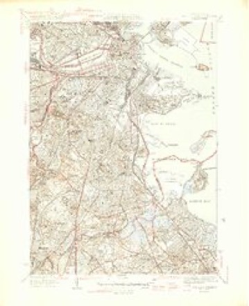
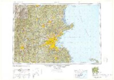
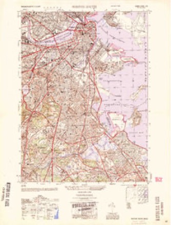
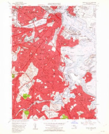
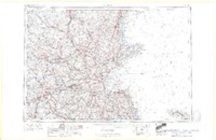
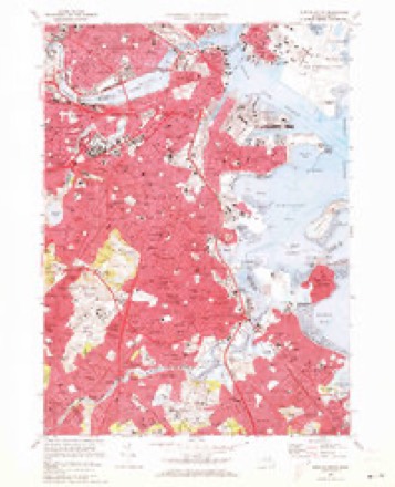
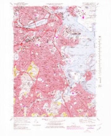
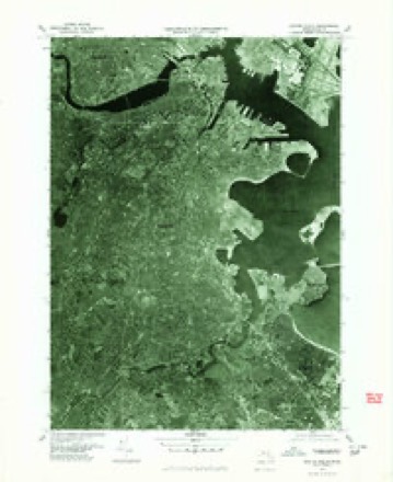
17 surveys from 46 printed sheetsMatched by testing this settlement's coordinate against the published boundary of every sheet in the United States Geological Survey's historical collection. Each opens the scanned sheet at the Survey.
- 1893 USGS Boston quadrangle1:62500, 4 printings
- 1903 USGS Boston quadrangle1:62500, 13 printings
- 1943 USGS Boston quadrangle1:125000
- 1944 USGS Boston South quadrangle1:24000
- 1946 USGS Boston South quadrangle1:31680, 3 printings
- 1948 USGS Boston quadrangle1:250000, 2 printings
- 1954 USGS Boston South quadrangle1:25000
- 1956 USGS Boston quadrangle1:250000, 6 printings
- 1956 USGS Boston South quadrangle1:24000, 3 printings
- 1958 USGS Boston quadrangle1:250000, 2 printings
- 1961 USGS Boston quadrangle1:250000, 2 printings
- 1970 USGS Boston South quadrangle1:24000
- 1970 USGS Boston South quadrangle1:25000
- 1977 USGS Boston South quadrangle1:25000
- 1985 USGS Boston quadrangle1:100000
- 1987 USGS Boston South quadrangle1:25000, 2 printings
- 1989 USGS Boston quadrangle1:100000, 2 printings
What happened here
An account from the chapter on Brookline town. The inset identifies its exact source book and publication year.
Thomas
"T shall be able to begin to travel home slowly in about 10 days, and shall, with the blessing of God, soon see you all. After being wounded I walked back to my tent, and in about an hour had only one arm, a circumstance which does not afflict me, my dear father, and must not you. But let us both thank God that he has so formed us that you have lived almost all your life happy & respectable, notwithstanding the loss of an eye, and I may spend the remainder of my life in the same manner with the loss of a limb, of all the most conveniently spared.
In the county-history sources
53,501 words on this townshipHistory of Norfolk County, Massachusetts, with Biographical Sketches of Many of Its Pioneers and Prominent Men, published 1884 names this settlement in its chapter on Brookline Town. These are the passages that mention it, exactly as the scans read.
In the summer of 1860, when the Prince of Wales was on a visit to this country, among the many receptions given him was that of the city of Boston. The Prince alighted at the Cottage Farm Station in Longwood, where he was received by the city government. When he arrived at the station previous to seating himself in the carriage provided for him, he took a look at the surroundings of the town, and exclaimed in the writer's presence, " Of all the country he had passed through, none had reminded him so much of the scenery of Old England as that around here."
Passage source: History of Norfolk County, Massachusetts, with Biographical Sketches of Many of Its Pioneers and Prominent Men, published 1884.
Machine-read from a century-old scan, so expect the errors a machine makes: misspelled names, dropped words, stray characters.
Fires near this place
30 since 2003Regional context, not property-specific evidence. The federal wildfire occurrence database lists 30 fires within 5 miles of Brookline Village between 2003 and 2020, burning about 329 acres in total. None started naturally. 2 were recorded as arson. Distance is straight-line from the map coordinates, so a fire counted here may appear on a neighbouring settlement's page as well.
| Reported cause | Fires |
|---|---|
| Missing data/not specified/undetermined | 14 |
| Recreation and ceremony | 8 |
| Smoking | 4 |
| Arson/incendiarism | 2 |
| Equipment and vehicle use | 1 |
| Debris and open burning | 1 |
The most recent of them, most recent first, with the day each was reported and the service that recorded it.
| Date | Cause | Size | Reported by | Name on the report |
|---|---|---|---|---|
| 23 September 2020 | Missing data/not specified/undetermined | under an acre | Massachusetts Bureau of Forest Fire Control | not named |
| 23 September 2019 | Missing data/not specified/undetermined | under an acre | Massachusetts Bureau of Forest Fire Control | not named |
| 2 September 2018 | Equipment and vehicle use | under an acre | Massachusetts Bureau of Forest Fire Control | BROOKLINE |
| 2 September 2017 | Recreation and ceremony | under an acre | Massachusetts Bureau of Forest Fire Control | QUINCY |
| 6 August 2016 | Missing data/not specified/undetermined | under an acre | Massachusetts Bureau of Forest Fire Control | MILTON |
| 28 August 2016 | Smoking | under an acre | Massachusetts Bureau of Forest Fire Control | WEYMOUTH |
| 26 August 2017 | Smoking | under an acre | Massachusetts Bureau of Forest Fire Control | BROOKLINE |
| 20 August 2016 | Missing data/not specified/undetermined | 4.0 acres | Massachusetts Bureau of Forest Fire Control | BOSTON |
Settlements close enough to share some of these fires:
Specimens collected near this place
12 of 12,824 shownRegional context, not property-specific evidence. Museums hold 12,824 specimens collected within 10 miles of Brookline Village between 1810 and 1975: 5,219 Plantae, 3,842 Fungi, 3,295 Animalia, 193 Protozoa, 178 Chromista, 64 Unrecorded, 33 Bacteria. 12 distinct Species records are shown. Collected by (MARSDEN, H W), ?, ? ex Herb. W.G. Farlow and others. Each is a physical object with a catalogue number, and each entry opens the museum's record. This is what was collected and kept, not a survey of what lives here - nothing can be concluded from a species being absent.
| Image | Species | Year | Collected by | Where, as recorded |
|---|---|---|---|---|
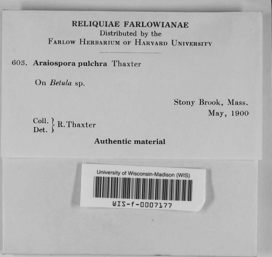 | Araiospora pulchra Thaxt. | 1900 | R. Thaxter | Stony Brook |
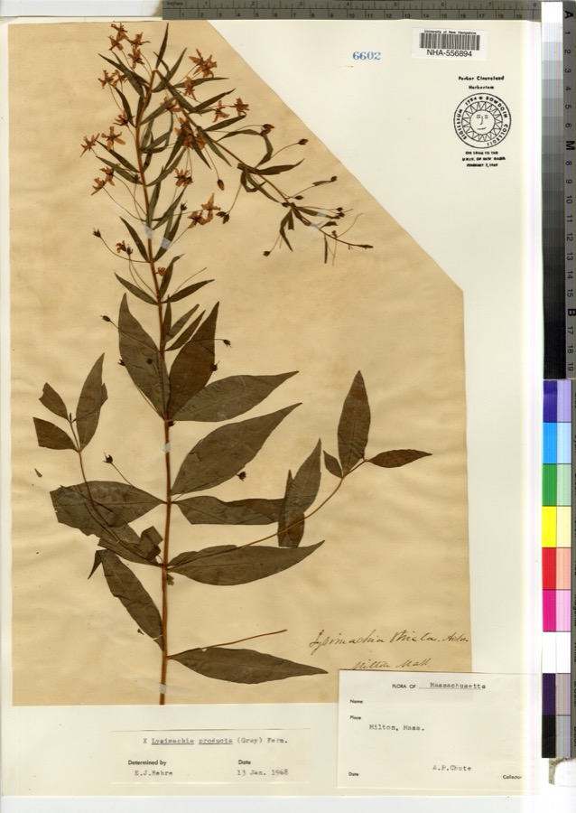 | Lysimachia × producta (A.Gray) Fernald | 1900 | A. P. Chute | |
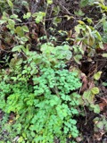 | Thalictrum L. | 1810 | Boott, J.W. | Near Boston. |
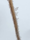 | Anemone L. | 1815 | Boott, J. | Andover Turnpike, 7 miles from Boston. |
 | Corydalis Vent. | 1815 | Boott, F.M.B. | Worcester turnpike, 6 miles from Boston. |
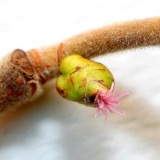 | Corylus L. | 1815 | not recorded | Cambridge Port, 2 miles from Boston. |
| Ericaceae | 1815 | Boott | Boston, U.S.A. | |
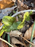 | Hepatica Mill. | 1815 | Boott, F.M.B. | Sweet Auburn. |
 | Limonium vulgare Mill. | 1815 | not recorded | On Cragies Road [=near Cragies Bridge], 1 1/2 miles from Boston. |
 | Mollugo verticillata L. | 1815 | Boott, F.M.B. | Boston. |
 | Nuphar Sm. | 1815 | Boott, J.W. | Worcester Turnpike 6 miles from Boston. |
 | Persicaria (L.) Mill. | 1815 | Boott, J.W. | Craigie's Road, 2 miles from Boston. |
All 12,824 specimens within 10 miles, at the Global Biodiversity Information Facility.
Mines and quarries near this place
10 within 5 milesRegional context, not property-specific evidence. The federal mineral resources record lists 10 workings within 5 miles of Brookline Village: 8 plants, 2 past producers. 8 still produce. What was taken out: Iron, Lead, Tantalum, Niobium (Columbium). Distance is straight-line from the map coordinates, so a quarry counted here may appear on a neighbouring settlement's page as well.
| Where | Site | Commodity | Status | Recorded |
|---|---|---|---|---|
| C. J. Mabardy | Sand and Gravel, Construction | Past Producer | ||
| Nrc Inc--Newton, Ma. | Tantalum, Niobium (Columbium) | Plant | ||
| Us Gypsum Co--Boston | Gypsum-Anhydrite | Past Producer | ||
| Whittemore Prdts Inc--Boston | Perlite | Plant | ||
| (Facility) Cambridge Smelter Co | Lead | Plant | ||
| General Metals & Smelting--Boston | Lead | Plant | ||
| Industrial Serv. Centers--Cambridge | Iron | Plant | ||
| Somerville Smelting Co. | Lead | Plant | ||
| Us Steel Supply Div--Boston | Iron | Plant | ||
| Wheelock-Lovejoy--Cambridge, Ma. | Iron | Plant |
Nearest settlements
The eight closest, with where each one stands in the county. Distances are straight-line, computed from the Geographic Names Information System coordinates.
| Map | Place | Distance | Sheets |
|---|---|---|---|
| Brookline | 0.3 miles | 46 | |
| Longwood Station | 0.7 miles | 46 | |
| Coolidge Corner | 1.0 miles | 46 | |
| Beaconsfield | 1.4 miles | 46 | |
| Reservoir | 1.7 miles | 46 | |
| Westbrook Village | 3.0 miles | 46 | |
| Milton Upper Mills | 5.1 miles | 46 | |
| Milton Village | 5.1 miles | 46 |
Provenance
This settlement is recorded in the Geographic Names Information System as feature 612882. The sheet list is computed by point-in-boundary test against the United States Geological Survey's historical topographic inventory. Both are works of the United States government and carry no copyright under 17 U.S.C. 105.
Wildfire. Short, Karen C. 2022. Spatial wildfire occurrence data for the United States, 1992-2020 [FPA_FOD_20221014]. 6th Edition. Fort Collins, CO: Forest Service Research Data Archive. https://doi.org/10.2737/RDS-2013-0009.6 Collected with United States Government funding and usable without additional permissions or fees.
Specimens. Global Biodiversity Information Facility (GBIF), https://www.gbif.org/. Only records licensed CC0 or CC BY are used. Records licensed CC BY-NC are excluded because this site carries advertising. Images are checked individually and any whose licence is non-commercial, no-derivatives or unreadable is refused.
Mines and quarries. USGS Mineral Resources Data System (MRDS) https://mrdata.usgs.gov/mrds/ A work of the United States government, no copyright under 17 U.S.C. 105.