 Block
Brookover, Ohio
15 topographic sheets cover this place, the earliest surveyed in 1910 and the latest in 1994. It stands in Wayne Township. It lies in ZIP code area 43701. The Survey maps it on the Zanesville East quadrangle. The federal gazetteer marks this settlement historical: it is no longer a populated place, though the surveys that recorded it still are.
Then and now
1910 to 1994The same ground, surveyed 84 years apart. Drag the handle to wipe between them. Both sheets are United States Geological Survey originals; neither has been altered.
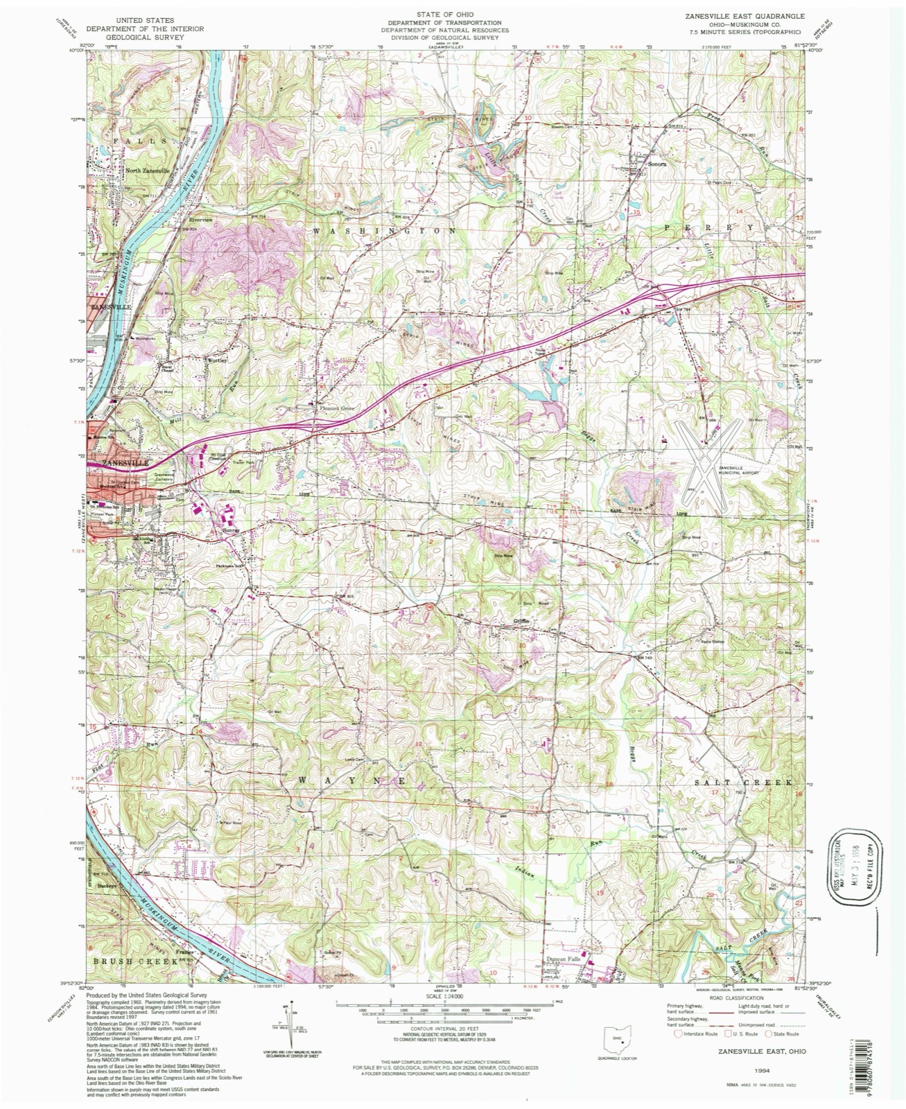
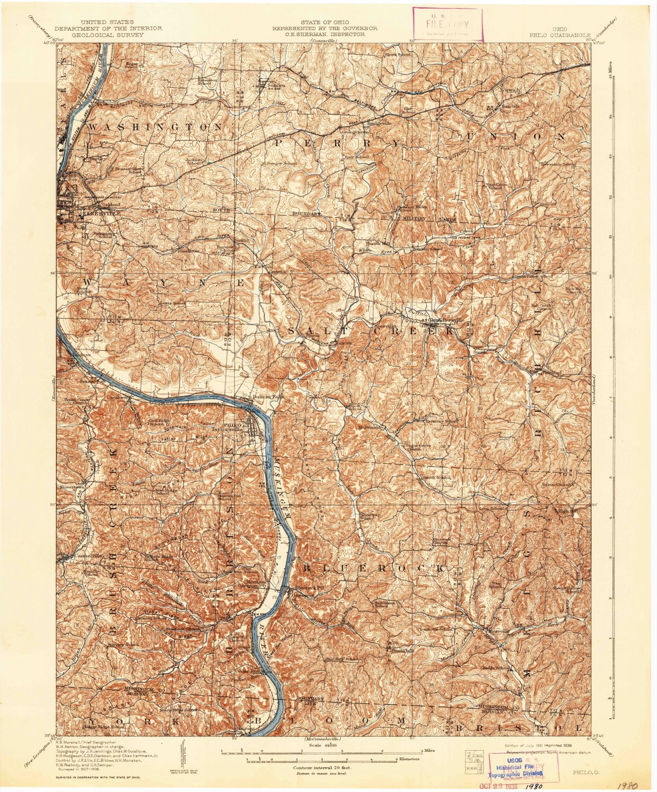
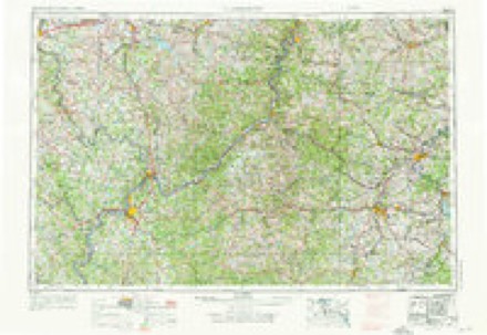
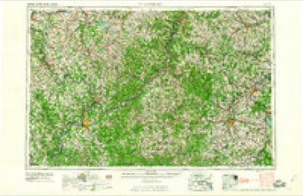
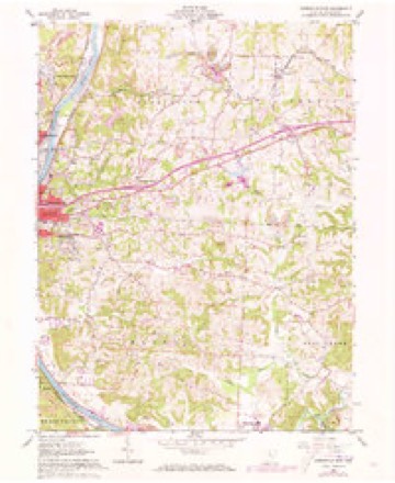
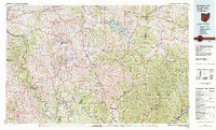
Topographic sheets covering this place
9 surveys from 15 printed sheetsMatched by testing this settlement's coordinate against the published boundary of every sheet in the United States Geological Survey's historical collection. Each opens the scanned sheet at the Survey.
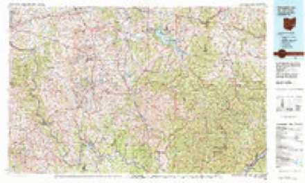
- 1910 USGS Philo quadrangle1:62500, 2 printings
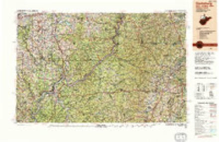
- 1949 USGS Clarksburg quadrangle1:250000
- 1956 USGS Clarksburg quadrangle1:250000, 2 printings
- 1961 USGS Clarksburg quadrangle1:250000
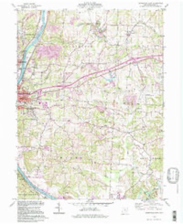
- 1961 USGS Zanesville East quadrangle1:24000, 5 printings
- 1980 USGS Senecaville quadrangle1:100000
- 1980 USGS Senecaville Lake quadrangle1:100000
- 1988 USGS Clarksburg quadrangle1:250000
- 1994 USGS Zanesville East quadrangle1:24000
In the county-history sources
17,128 words on this township1794. History of Muskingum County, Ohio, with Illustrations and Biographical Sketches of Prominent Men and Pioneers, published 1882 names this settlement in its chapter on Wayne Township. These are the passages that mention it, exactly as the scans read.
The next event of public interest occurred March 6th, 1826, when '.'a petition was presented, signed by a number of citizens of Zanesville and Salt Creek townships, setting forth that they labor under many difficulties and disadvantages in consequence of the distance they have to go to elections, and praying that a township maj;- be struck off from part of Zanes\ille and Salt Creek townships ; and the Commissioners, believing the same necessary for the convenience of the inhabitants and township officers, do hereby order a new township, to be struck off, according to the following boundaries :
Passage source: 1794. History of Muskingum County, Ohio, with Illustrations and Biographical Sketches of Prominent Men and Pioneers, published 1882.
The first school house was erected on Brookover's farm (section 9). This was not far fi-om 1812; and like most buildings of that epoch, was built of round logs, with puncheon floor, clap-board roof, with a large fire-place in one ; the lower part of the chimney, including the fire place, was built of stone, and the upper part of logs and sticks laid in clay, and daubed in the inside with the same material. The boys of the school cut the wood, and generally managed to cut and haul it on Saturdays, when they made the occasion one of frolic.
Passage source: 1794. History of Muskingum County, Ohio, with Illustrations and Biographical Sketches of Prominent Men and Pioneers, published 1882.
The first ground set apart for such use was given by Lemuel Joseph, and contained about half an acre, situated on the farm afterwards owned by Nathan Joseph (section ten) ; it was a family and neighborhood cemetery. Abraham Bell was the first person buried there, as appears from the year date on his tombstone, which is 1812.
Passage source: 1794. History of Muskingum County, Ohio, with Illustrations and Biographical Sketches of Prominent Men and Pioneers, published 1882.
Machine-read from a century-old scan, so expect the errors a machine makes: misspelled names, dropped words, stray characters.
Read the whole chapter on Wayne Township - it names this place 6 more 6 times.
Fires near this place
60 since 2002Regional context, not property-specific evidence. The federal wildfire occurrence database lists 60 fires within 5 miles of Brookover (historical) between 2002 and 2019, burning about 89 acres in total. None started naturally. None was recorded as arson. Distance is straight-line from the map coordinates, so a fire counted here may appear on a neighbouring settlement's page as well.
| Reported cause | Fires |
|---|---|
| Debris and open burning | 37 |
| Missing data/not specified/undetermined | 11 |
| Recreation and ceremony | 4 |
| Equipment and vehicle use | 4 |
| Smoking | 3 |
| Power generation/transmission/distribution | 1 |
The most recent of them, most recent first, with the day each was reported and the service that recorded it.
| Date | Cause | Size | Reported by | Name on the report |
|---|---|---|---|---|
| 30 September 2019 | Debris and open burning | 1.0 acres | Ohio Department of Natural Resources | 15277 |
| 30 September 2019 | Debris and open burning | 1.0 acres | Ohio Department of Natural Resources | 15278 |
| 9 April 2013 | Debris and open burning | 1.0 acres | Ohio Department of Natural Resources | not named |
| 8 April 2013 | Debris and open burning | under an acre | Ohio Department of Natural Resources | not named |
| 8 April 2002 | Recreation and ceremony | 2.0 acres | Ohio State Fire Marshal's Office | not named |
| 7 April 2012 | Debris and open burning | 1.0 acres | Ohio Department of Natural Resources | not named |
| 7 April 2002 | Recreation and ceremony | 1.0 acres | Ohio State Fire Marshal's Office | not named |
| 3 April 2019 | Debris and open burning | 1.0 acres | Ohio Department of Natural Resources | 15092 |
Settlements close enough to share some of these fires:
Specimens collected near this place
12 of 853 shownRegional context, not property-specific evidence. Museums hold 853 specimens collected within 10 miles of Brookover (historical) between 1873 and 1975: 736 Animalia, 92 Plantae, 15 Fungi, 5 Protozoa, 4 Unrecorded, 1 Chromista. 12 distinct Species records are shown. Collected by A.E. Miller, Adams, W., Adams, W. (William), Trautman, M. B. (Milton Bernard) et al. and others. Each is a physical object with a catalogue number, and each entry opens the museum's record. This is what was collected and kept, not a survey of what lives here - nothing can be concluded from a species being absent.
| Image | Species | Year | Collected by | Where, as recorded |
|---|---|---|---|---|
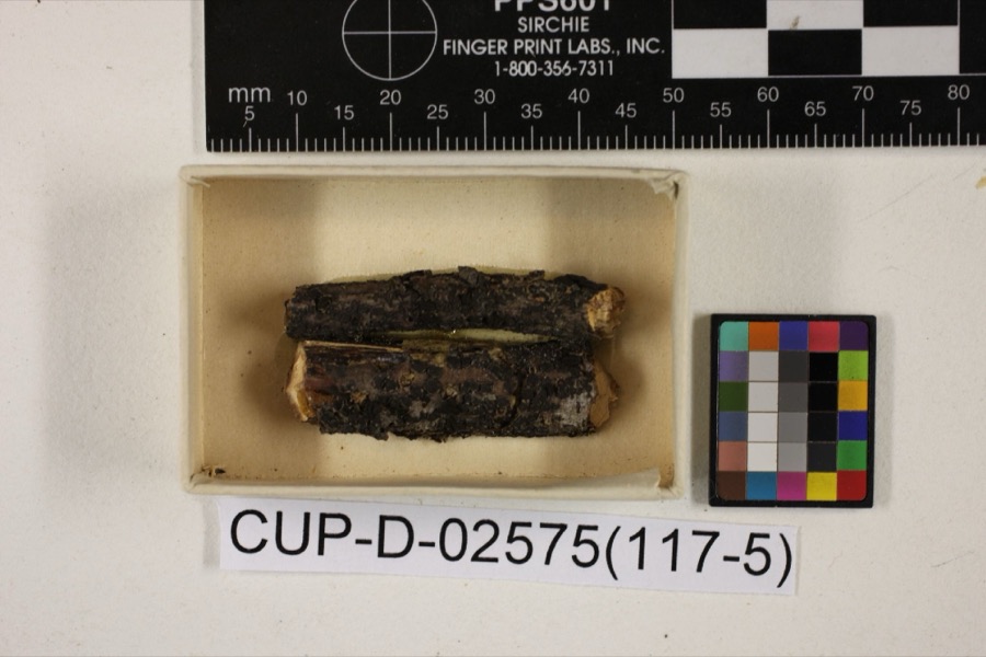 | Scleroderris rubra Morgan | 1891 | Morgan, Andrew Price | Preston |
 | Peziza nana Massee & Morgan | 1895 | Morgan, Andrew Price | Preston |
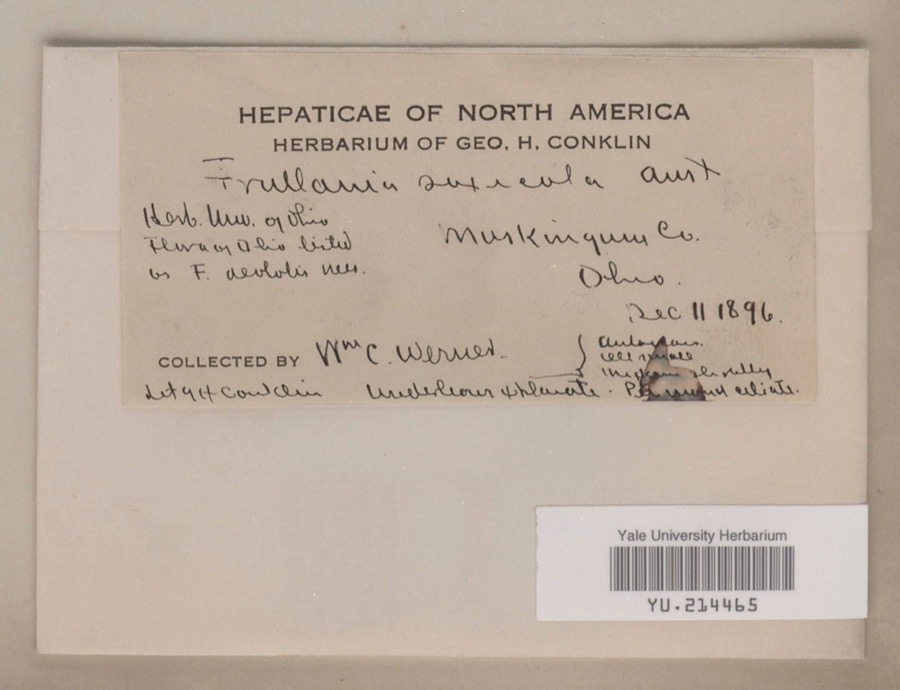 | Frullania saxicola Austin | 1896 | William C. Werner | |
 | Poa cuspidata Nutt. | 1873 | W. M. Canby | Zanesville. |
 | Frullania eboracensis Lehm. | 1890 | W. C. Werner | |
 | Porella pinnata L. | 1891 | W. C. Werner | |
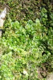 | Porella platyphylla (L.) Pfeiff. | 1891 | W. C. Werner | |
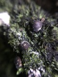 | Lycogala exiguum Morgan, 1893 | 1893 | Morgan A.P. | Preston |
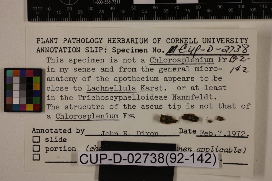 | Lachnum viridulum Massee & Morgan | 1905 | Morgan, Andrew Price | Preston |
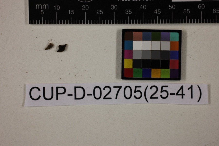 | Peziza morganii Massee | 1905 | Morgan, Andrew Price | Preston (The no longer extant town of Preston, Ohio, was located in Hamilton County in the Miami River drainage). |
| Tapesia derelicta Morgan | 1905 | Morgan, Andrew Price | Preston | |
 | Gyromitra brunnea Underw. | 1909 | Moore S. R. | Zanesville |
All 853 specimens within 10 miles, at the Global Biodiversity Information Facility.
Mines and quarries near this place
5 within 5 milesRegional context, not property-specific evidence. The federal mineral resources record lists 5 workings within 5 miles of Brookover (historical): 5 producers. All of them still produce. What was taken out: Sand and Gravel, Construction, Iron. Distance is straight-line from the map coordinates, so a quarry counted here may appear on a neighbouring settlement's page as well.
| Where | Site | Commodity | Status | Recorded |
|---|---|---|---|---|
| Armco Inc/ Zanesville, Ohio | Iron | Producer | ||
| Ohio Ferro-Alloys/ Philco, Ohio | Iron | Producer | ||
| Granite Plant Pit | Sand and Gravel, Construction | Producer | ||
| Muskingum R. Plant No 1 Mine & Mill | Sand and Gravel, Construction | Producer | ||
| Salt Creek Materials Co. | Sand and Gravel, Construction | Producer |
Nearest settlements
The eight closest, with where each one stands in the county. Distances are straight-line, computed from the Geographic Names Information System coordinates.
| Map | Place | Distance | Sheets |
|---|---|---|---|
| Griffin | 0.4 miles | 15 | |
| Carlwick (historical) | 1.8 miles | 15 | |
| Forest Hills | 2.1 miles | 15 | |
| Eastlynd Acres | 2.1 miles | 15 | |
| Jackson (historical) | 2.2 miles | 15 | |
| Pleasant Grove | 2.3 miles | 15 | |
| Oakland (historical) | 2.6 miles | 15 | |
| Spring Valley | 3.3 miles | 15 |
Provenance
This settlement is recorded in the Geographic Names Information System as feature 1068257. The sheet list is computed by point-in-boundary test against the United States Geological Survey's historical topographic inventory. Both are works of the United States government and carry no copyright under 17 U.S.C. 105.
Wildfire. Short, Karen C. 2022. Spatial wildfire occurrence data for the United States, 1992-2020 [FPA_FOD_20221014]. 6th Edition. Fort Collins, CO: Forest Service Research Data Archive. https://doi.org/10.2737/RDS-2013-0009.6 Collected with United States Government funding and usable without additional permissions or fees.
Specimens. Global Biodiversity Information Facility (GBIF), https://www.gbif.org/. Only records licensed CC0 or CC BY are used. Records licensed CC BY-NC are excluded because this site carries advertising. Images are checked individually and any whose licence is non-commercial, no-derivatives or unreadable is refused.
Mines and quarries. USGS Mineral Resources Data System (MRDS) https://mrdata.usgs.gov/mrds/ A work of the United States government, no copyright under 17 U.S.C. 105.