 Block
Block
Browns Chapel, Ohio
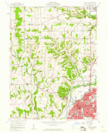
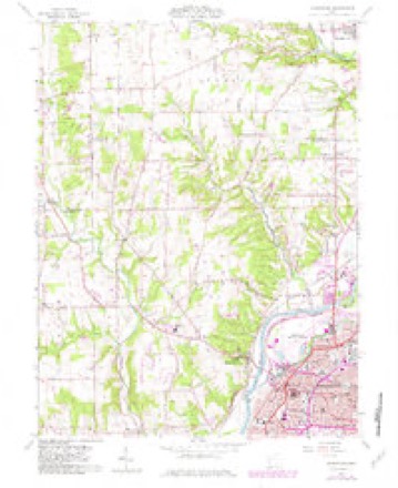
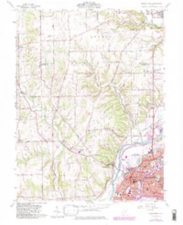
12 topographic sheets cover this place, the earliest surveyed in 1908 and the latest in 1986. It stands in German Township. It lies in ZIP code area 45327. The Survey maps it on the Middletown quadrangle.
Then and now
1908 to 1986The same ground, surveyed 78 years apart. Drag the handle to wipe between them. Both sheets are United States Geological Survey originals; neither has been altered.

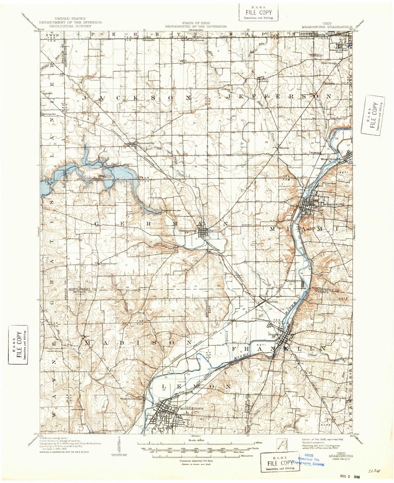
Topographic sheets covering this place
12 sheetsMatched by testing this settlement's coordinate against the published boundary of every sheet in the United States Geological Survey's historical collection. Each opens the scanned sheet at the Survey.
- 1908 USGS Miamisburg quadrangle1:62500
- 1953 USGS Cincinnati quadrangle1:250000
- 1953 USGS Cincinnati quadrangle1:250000
- 1953 USGS Cincinnati quadrangle1:250000
- 1957 USGS Cincinnati quadrangle1:250000
- 1959 USGS Middletown quadrangle1:24000
- 1959 USGS Middletown quadrangle1:24000
- 1959 USGS Middletown quadrangle1:24000
- 1959 USGS Middletown quadrangle1:24000
- 1959 USGS Middletown quadrangle1:24000
- 1986 USGS Dayton quadrangle1:100000
- 1986 USGS Dayton quadrangle1:100000






In the 1882 county history
34,122 words on this townshipThe county history of 1882 has no passage naming this settlement, which was common for the smaller places. Its township is covered in full.
The chapter on German Township covers the township.
Read the chapter on German Township - 34,122 words.
Specimens collected nearby
12 of 84 shownMuseums hold 84 specimens collected within 10 miles of Browns Chapel between 1835 and 1969: 64 Animalia, 10 Plantae, 7 Fungi, 3 Chromista. 12 distinct Species records are shown. Collected by ?, ATW, Belk, E.; Ellis, J. and others. Each is a physical object with a catalogue number, and each entry opens the museum's record. This is what was collected and kept, not a survey of what lives here - nothing can be concluded from a species being absent.
| Image | Species | Year | Collected by | Where, as recorded |
|---|---|---|---|---|
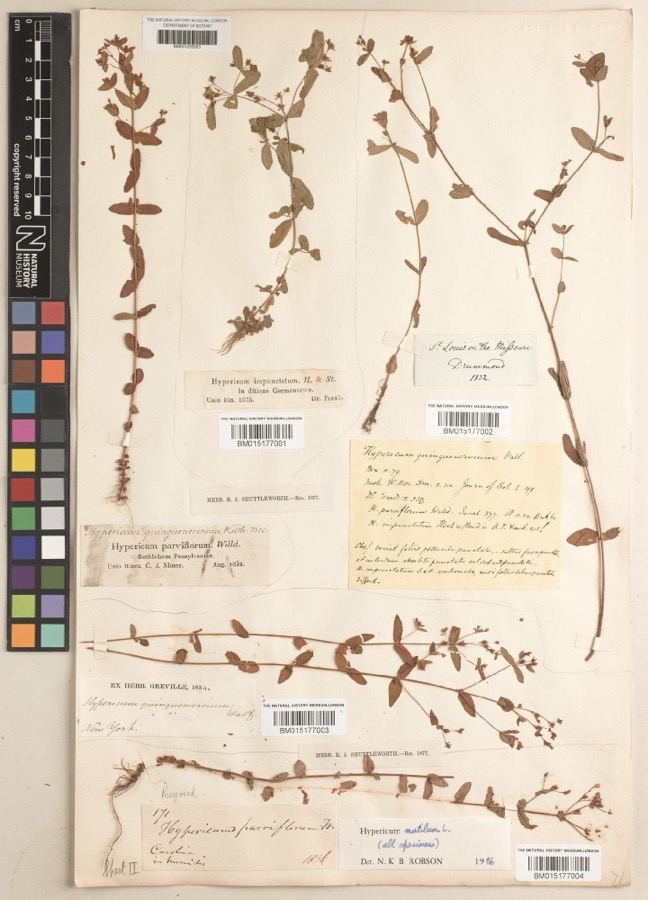 | Hypericum mutilum subsp. mutilum | 1835 | Joseph C. Frank | Germantown |
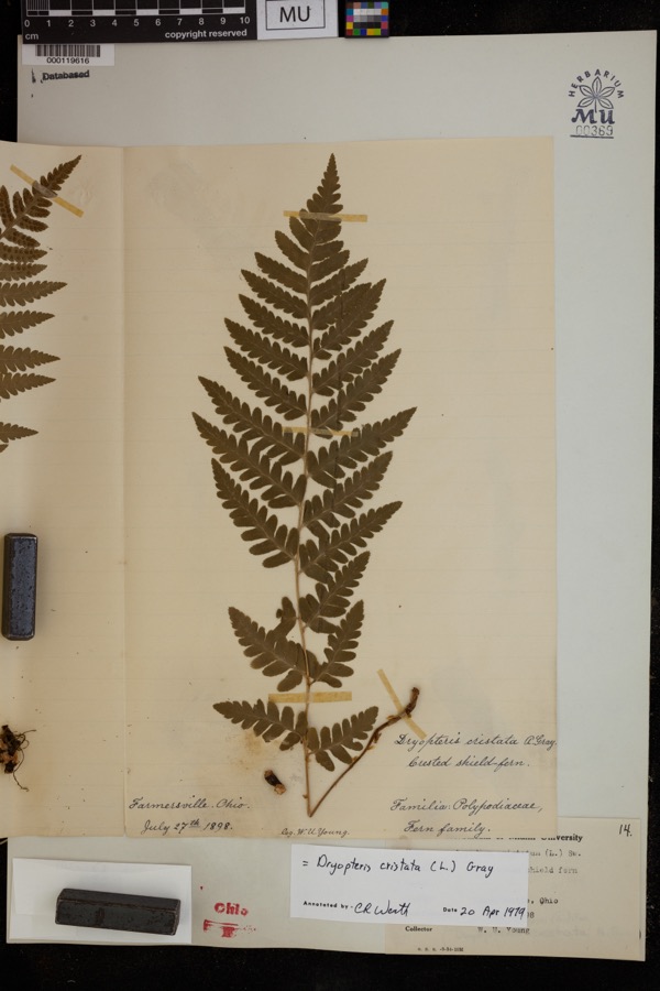 | Dryopteris cristata (L.) A.Gray | 1898 | Young, H.W. | Farmersville |
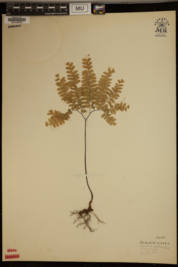 | Adiantum pedatum L. | 1929 | ? | Hueston Woods. |
 | Scirpus polyphyllus Vahl | 1888 | E. S. Steele | Carlisle. |
 | Malva moschata L. | 1889 | ATW | Carlisle |
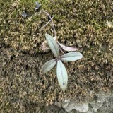 | Phlox divaricata L. | 1890 | Henry C. Cowles | Carlisle. |
 | Peronospora parasitica (Pers.) De Bary | 1907 | Scheible, E. | Miamisburg |
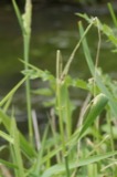 | Rhizoctonia DC. | 1907 | Gilbert W. W. | Germantown |
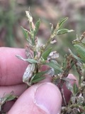 | Erysiphe polygoni DC. | 1908 | E. E. Hunean | Miamisburg |
 | Phyllactinia corylea (Pers.) P.Karst. | 1908 | see Collection Note | Miamisburg |
| Stenocrepis cuprea (Chaudoir, 1843) | 1921 | Chamberlain | Miamisburg | |
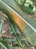 | Puccinia sorghi Schwein. | 1926 | Overholts L. O. | Germantown |
All 84 specimens within 10 miles, at the Global Biodiversity Information Facility.
Storms nearby
3 since 2008The National Weather Service names Browns Chapel in 3 storm reports between 2008 and 2021: 2 flood, 1 tornado. No death or injury is recorded in these reports. Each account below is quoted exactly as the forecast office filed it, from the NOAA Storm Events Database, and each date opens the federal record of that event.
| When | Event | Place named | Harm | What the report says |
|---|---|---|---|---|
| June 2021 | Tornado (EF1) | Browns Chapel | $50,000 | The tornado initially touched down on the west side of Puddenbag Road, south of Barlow Road and damaged several groves of trees before crossing Puddenbag Road and snapping and uprooting several more groves of trees on the east side of Puddenbag Road. The tornado crossed in front of a farmstead and snapped and uprooted a number of trees in front of the residence. It was at this location where tree damage was estimated to be caused by winds in the 90-95 mph range. The tornado continued southeast to Oxford Road where roofing material was lifted from a home on the north side of the road and a barn on the south side of the road, while also continuing to cause considerable tree damage. The tornado then continued southeast and moved into Butler County about 0.8 miles south southwest of Browns Chapel. The tornado continued to move southeast across far northern Butler County before lifting 1 mile northeast of Astoria at 19:43 EST. |
| March 2008 | Flood | Browns Chapel | $5,000 | Several roads flooded across the county. Anthony Road in German Township flooded and closed. |
| June 2016 | Flood | Browns Chapel | - | Four inches of water covered Route 725 between Moyer Road and Browns Run Road. |
Nearest settlements
The eight closest, with where each one stands in the county. Distances are straight-line, computed from the Geographic Names Information System coordinates.
| Map | Place | Distance | Sheets |
|---|---|---|---|
| Mudlick | 3.4 miles | 12 | |
| Germantown | 4.7 miles | 13 | |
| Sunbury | 4.7 miles | 13 | |
| Farmersville | 5.3 miles | 11 | |
| Chautauqua | 8.4 miles | 13 | |
| Bridgeport | 8.8 miles | 13 | |
| Ellerton | 9.1 miles | 13 | |
| Miamisburg | 9.3 miles | 13 |
Provenance
This settlement is recorded in the Geographic Names Information System as feature 1071129. The sheet list is computed by point-in-boundary test against the United States Geological Survey's historical topographic inventory. Both are works of the United States government and carry no copyright under 17 U.S.C. 105.
Specimens. Global Biodiversity Information Facility (GBIF), https://www.gbif.org/. Only records licensed CC0 or CC BY are used. Records licensed CC BY-NC are excluded because this site carries advertising. Images are checked individually and any whose licence is non-commercial, no-derivatives or unreadable is refused.
Storms. NOAA National Centers for Environmental Information, Storm Events Database https://www.ncei.noaa.gov/stormevents/ A work of the United States government, no copyright under 17 U.S.C. 105. Narratives are quoted verbatim from the National Weather Service report and are not edited or summarised.