 Block
Block
Buckeye City, Ohio
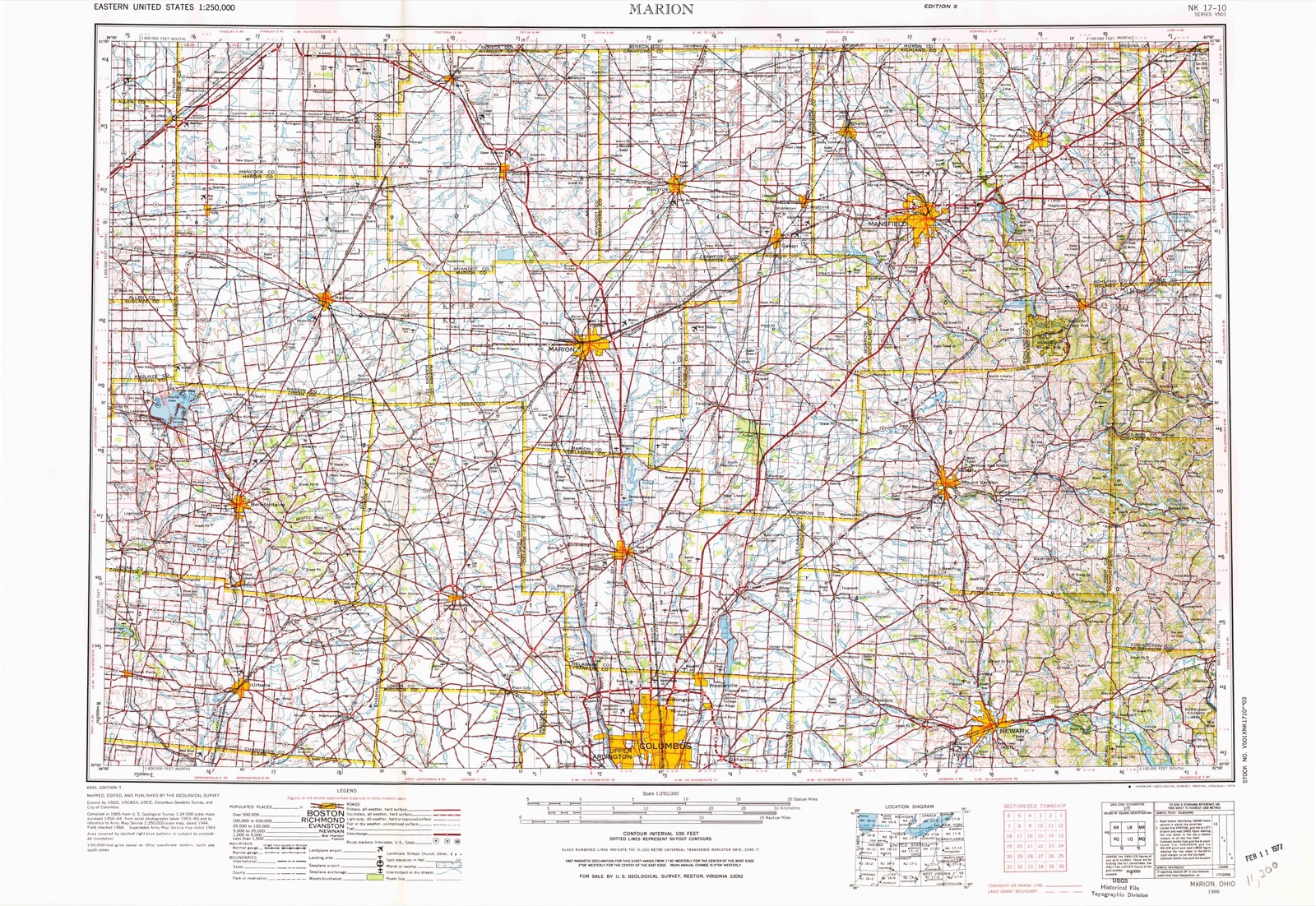
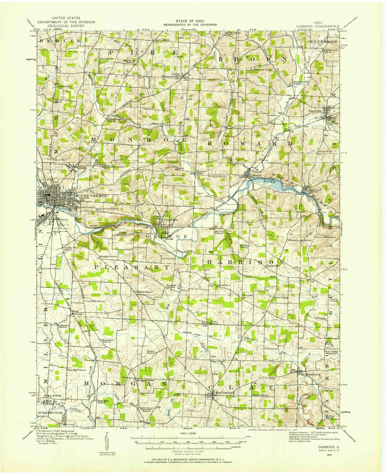
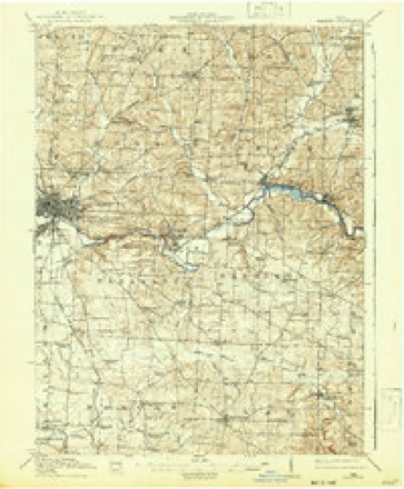
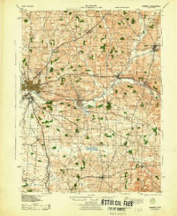
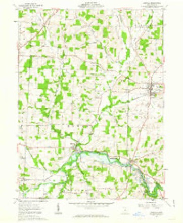
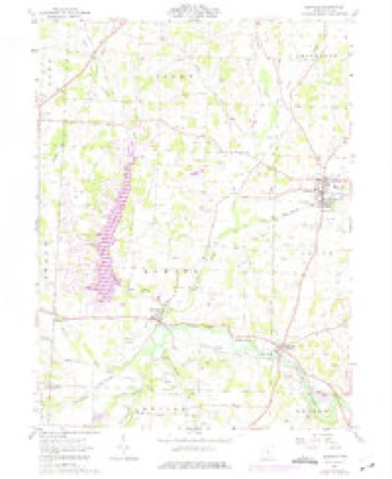
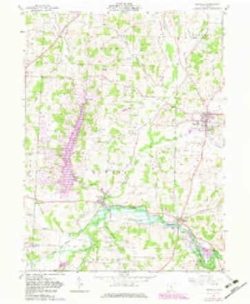
12 topographic sheets cover this place, the earliest surveyed in 1912 and the latest in 1966. It stands in Union Township. It lies in ZIP code area 43014. The Survey maps it on the Danville quadrangle.
Then and now
1912 to 1966The same ground, surveyed 54 years apart. Drag the handle to wipe between them. Both sheets are United States Geological Survey originals; neither has been altered.
Topographic sheets covering this place
12 sheetsMatched by testing this settlement's coordinate against the published boundary of every sheet in the United States Geological Survey's historical collection. Each opens the scanned sheet at the Survey.
- 1912 USGS Gambier quadrangle1:62500
- 1912 USGS Gambier quadrangle1:62500
- 1914 USGS Gambier quadrangle1:62500
- 1943 USGS Gambier quadrangle1:62500
- 1950 USGS Marion quadrangle1:250000
- 1961 USGS Danville quadrangle1:24000
- 1961 USGS Danville quadrangle1:24000
- 1961 USGS Danville quadrangle1:24000
- 1962 USGS Marion quadrangle1:250000
- 1966 USGS Marion quadrangle1:250000
- 1966 USGS Marion quadrangle1:250000
- 1966 USGS Marion quadrangle1:250000





In the county-history sources
10,681 words on this townshipHistory of Knox County, Ohio, Its Past and Present, Containing a Condensed, Comprehensive History of Ohio, Including an Outline History of the Northwest; a Complete History of Knox County ... a Record of Its Soldiers in the Late War; Portraits of Its Early Settlers and Prominent Men ... Biographies and Histories of Pioneer Families, Etc, published 1881 names this settlement in its chapter on Union Township. These are the passages that mention it, exactly as the scans read.
The following members of the lodge have deceased since its organization: 1857, Dr. John White, April 20th; 1862, Wait Whitney, October 12th; 1864, Ebenezer Wilson, April 26th; 1866, Daniel Hess, April 20th; 1869, Solomon W. Sapp, March I St; 1870, William Magers, December i8th; 1871, Mark Greer, April 29th; 1872, Thomas S. Barber, August 29th, John M. Church, November 23d; 1873, Solomon H. Porter, May 27th, Samuel Kinsey, August 31st, Dr. Isaac Putnam, October 7 th; 1876, Alonzo Gardner, March 29th, William Porter, October 2d; 1879, John Spurgeon, October ist - total deaths, fifteen.
Millwood is situated in the southeastern part of the township. Owl creek flows along its north'border. It was so named in consequence of the first mill in the locality being built in the woods, although it is claimed by some of the citizens to have been named in honor of a Mr. Millwood, of Virginia, a friend of the founder of the town. It is a neat and ordinary village of about two hundred inhabitants. At one time it was the most flourishing village in Union, and a large amount of business was transacted in the place; but since the location of the Cleveland, Mt. Vernon & Columbus railroad at Howard and Rossville, the tide of business has ceased to flow here and has been diverted to those villages. The town was laid out about 1825, by John Hann. James Britton built the first log house, and Israel Houseworth the second one. Ross Arbuckle built the first frame dwelling. The first gristmill was built about 1825, by John Hann and Eli- sha Gibbs. The present grist-mill, the second one in the town, was erected by John Hann. The first school-house, a small log building, was built on Jacob Hammond's farm about 1829, and William Critchfield taught the first school in this house.
Machine-read from a century-old scan, so expect the errors a machine makes: misspelled names, dropped words, stray characters.
Fires near this place
58 since 2004Regional context, not property-specific evidence. The federal wildfire occurrence database lists 58 fires within 5 miles of Buckeye City between 2004 and 2020, burning about 46 acres in total. None started naturally. 3 were recorded as arson. Distance is straight-line from the map coordinates, so a fire counted here may appear on a neighbouring settlement's page as well.
| Reported cause | Fires |
|---|---|
| Debris and open burning | 39 |
| Missing data/not specified/undetermined | 9 |
| Equipment and vehicle use | 3 |
| Arson/incendiarism | 3 |
| Recreation and ceremony | 3 |
| Power generation/transmission/distribution | 1 |
The most recent of them, most recent first, with the day each was reported and the service that recorded it.
| Date | Cause | Size | Reported by | Name on the report |
|---|---|---|---|---|
| 9 August 2020 | Debris and open burning | under an acre | Ohio Department of Natural Resources | 15805 |
| 14 August 2020 | Debris and open burning | under an acre | Ohio Department of Natural Resources | 15810 |
| 5 July 2017 | Debris and open burning | under an acre | Ohio Department of Natural Resources | 8446 |
| 11 July 2017 | Debris and open burning | under an acre | Ohio Department of Natural Resources | 8508 |
| 8 May 2019 | Debris and open burning | under an acre | Ohio Department of Natural Resources | 15191 |
| 8 May 2015 | Debris and open burning | 1.0 acres | Ohio Department of Natural Resources | 1206 |
| 5 May 2015 | Debris and open burning | under an acre | Ohio Department of Natural Resources | 1202 |
| 3 May 2015 | Debris and open burning | 1.0 acres | Ohio Department of Natural Resources | 1104 |
Settlements close enough to share some of these fires:
Specimens collected near this place
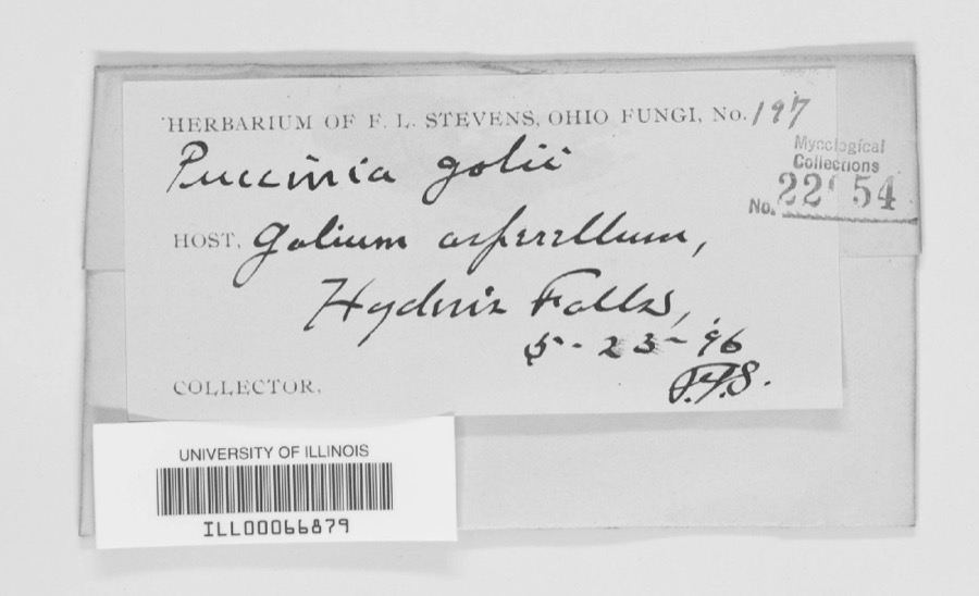
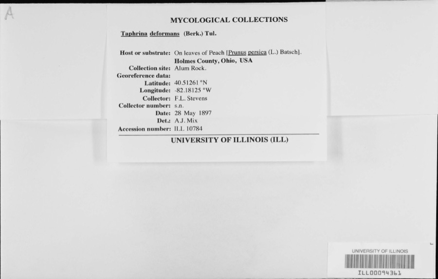
12 of 257 shownRegional context, not property-specific evidence. Museums hold 257 specimens collected within 10 miles of Buckeye City between 1890 and 1974: 224 Animalia, 20 Plantae, 13 Fungi. 12 distinct Species records are shown. Collected by C F WALKER, C. Stein, R. Johnson & J. Jenkinson, Collector unknown and others. Each is a physical object with a catalogue number, and each entry opens the museum's record. This is what was collected and kept, not a survey of what lives here - nothing can be concluded from a species being absent.
| Image | Species | Year | Collected by | Where, as recorded |
|---|---|---|---|---|
 | Puccinia galii (Pers.) Schwein. | 1896 | F. L. Stevens | Hayden Falls |
 | Taphrina deformans (Berk.) Tul. | 1897 | F.L. Stevens | |
 | Lampetra aepyptera (Abbott, 1860) | 1890 | Parker, J. B. | Big Jelloway Creek, within in Knox County OH no other locality info coordinates approximate |
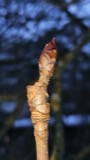 | Aesculus hippocastanum L. | 1892 | Collector unspecified | |
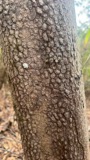 | Cornus florida L. | 1892 | Collector unknown | |
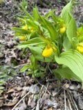 | Cypripedium parviflorum var. makasin (Farw.) Sheviak | 1892 | M. C. Ferguson | Gambier |
 | Erythronium americanum Ker Gawl. | 1892 | M. Warner | Gambier |
 | Oxalis violacea L. | 1892 | Collector unspecified | |
 | Polytrichum commune Hedw. | 1892 | not recorded | Gambier |
| Rumex acetosella L. | 1892 | Collector unspecified | ||
| Rumex obtusifolius L. | 1892 | M. C. Ferguson | ||
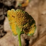 | Puccinia eatoniae Arthur | 1897 | W. A. Kellerman | Brinkhaven. |
All 257 specimens within 10 miles, at the Global Biodiversity Information Facility.
Mines and quarries near this place
7 within 5 milesRegional context, not property-specific evidence. The federal mineral resources record lists 7 workings within 5 miles of Buckeye City: 5 past producers, 2 producers. 2 still produce. What was taken out: Stone, Crushed/Broken, Sand and Gravel, Construction, Flagstone. Distance is straight-line from the map coordinates, so a quarry counted here may appear on a neighbouring settlement's page as well.
| Where | Site | Commodity | Status | Recorded |
|---|---|---|---|---|
| Briar Hill Brinkhaven Pit | Flagstone | Producer | ||
| Brinkhaven Pit | Sand and Gravel, Construction | Past Producer | Sedimentary | |
| Brinkhaven Pit | Sand and Gravel, Construction | Past Producer | ||
| Number 6 Quarry | Flagstone | Past Producer | ||
| Knox County Quarries | Stone, Crushed/Broken | Past Producer | Sedimentary | |
| Millwood Sand Quarry | Stone, Crushed/Broken | Past Producer | Sedimentary | |
| Millwood Sand Quarry | Stone, Crushed/Broken | Producer |
Nearest settlements
The eight closest, with where each one stands in the county. Distances are straight-line, computed from the Geographic Names Information System coordinates.
| Map | Place | Distance | Sheets |
|---|---|---|---|
| Danville | 0.3 miles | 12 | |
| Oak Hill | 2.3 miles | 12 | |
| Millwood | 3.2 miles | 12 | |
| Brinkhaven | 3.8 miles | 12 | |
| Hollisters (historical) | 4.2 miles | 12 | |
| Howard | 4.4 miles | 12 | |
| Zuck | 4.7 miles | 12 | |
| Umbria (historical) | 4.7 miles | 12 |
Elsewhere
Matched on this settlement's Geographic Names Information System number rather than its name, so it cannot be a different place of the same name in another state.
| Wikidata item Q122566923 | The structured record the population and elevation above come from. Public domain (CC0). |
Provenance
This settlement is recorded in the Geographic Names Information System as feature 1065556. The sheet list is computed by point-in-boundary test against the United States Geological Survey's historical topographic inventory. Both are works of the United States government and carry no copyright under 17 U.S.C. 105.
Wildfire. Short, Karen C. 2022. Spatial wildfire occurrence data for the United States, 1992-2020 [FPA_FOD_20221014]. 6th Edition. Fort Collins, CO: Forest Service Research Data Archive. https://doi.org/10.2737/RDS-2013-0009.6 Collected with United States Government funding and usable without additional permissions or fees.
Specimens. Global Biodiversity Information Facility (GBIF), https://www.gbif.org/. Only records licensed CC0 or CC BY are used. Records licensed CC BY-NC are excluded because this site carries advertising. Images are checked individually and any whose licence is non-commercial, no-derivatives or unreadable is refused.
Mines and quarries. USGS Mineral Resources Data System (MRDS) https://mrdata.usgs.gov/mrds/ A work of the United States government, no copyright under 17 U.S.C. 105.