 Block
Block
Danville, Ohio
12 topographic sheets cover this place, the earliest surveyed in 1912 and the latest in 1966. It stands in Union Township. It lies in ZIP code area 43014. The Survey maps it on the Danville quadrangle. 1,019 people lived here at the 2020 count. It stands 994 feet above sea level.
Population over time
2 figuresDanville fell from 1,044 to 1,019 between 2010 and 2020. These are the recorded population figures Wikidata holds for this place, reached through the Geographic Names Information System number this page is keyed on rather than by name, so they belong to this place and not to another of the same name. Most are census counts, but not all are: an early figure may be a founding or settlement estimate. The change column is computed, and is left blank where more than 20 years separate a figure from the one before it, because a gap that long is not a change between two counts.
| Year | People | Change |
|---|---|---|
| 2010 | 1,044 | |
| 2020 | 1,019 | -25 (-2%) |
Then and now
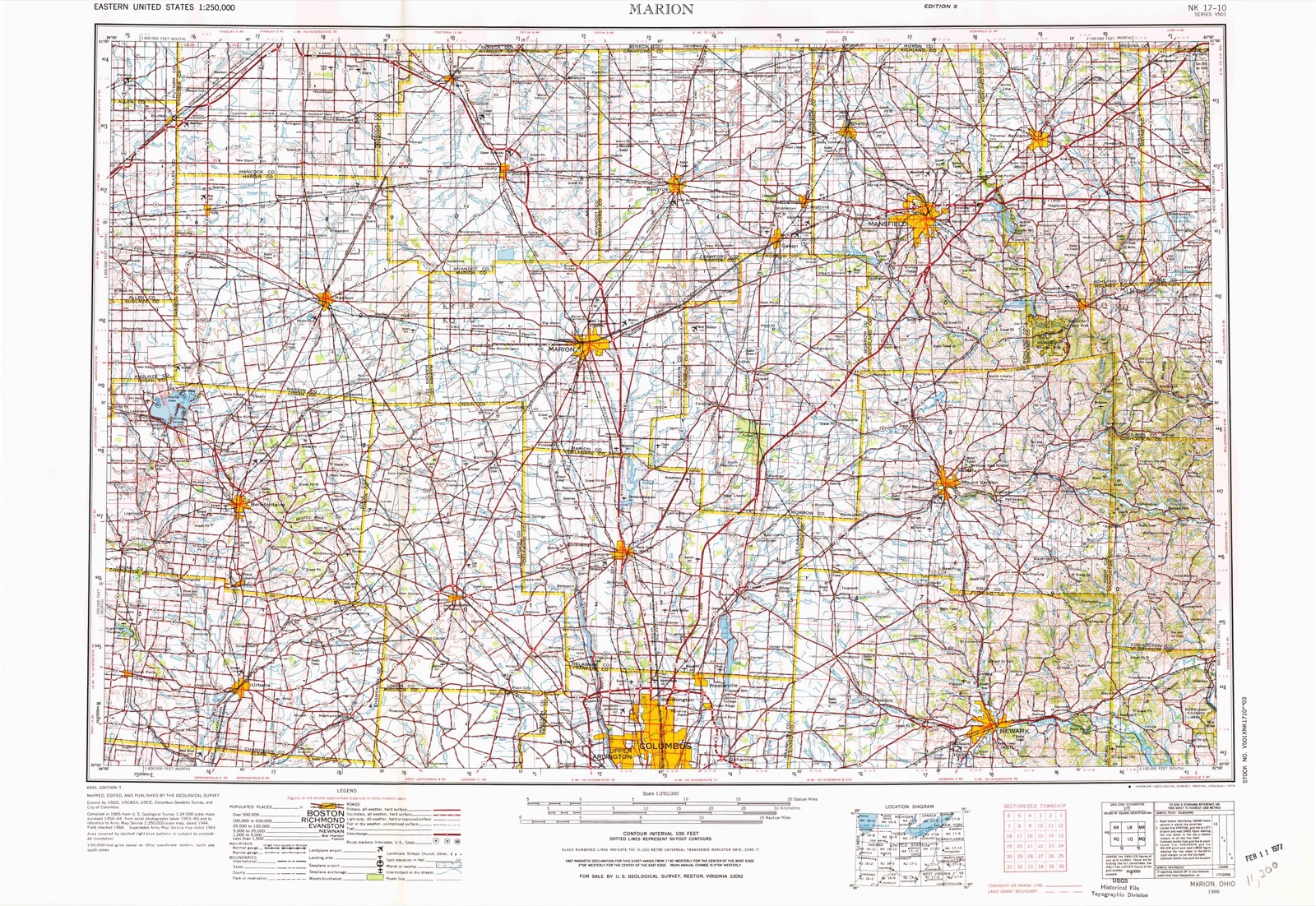
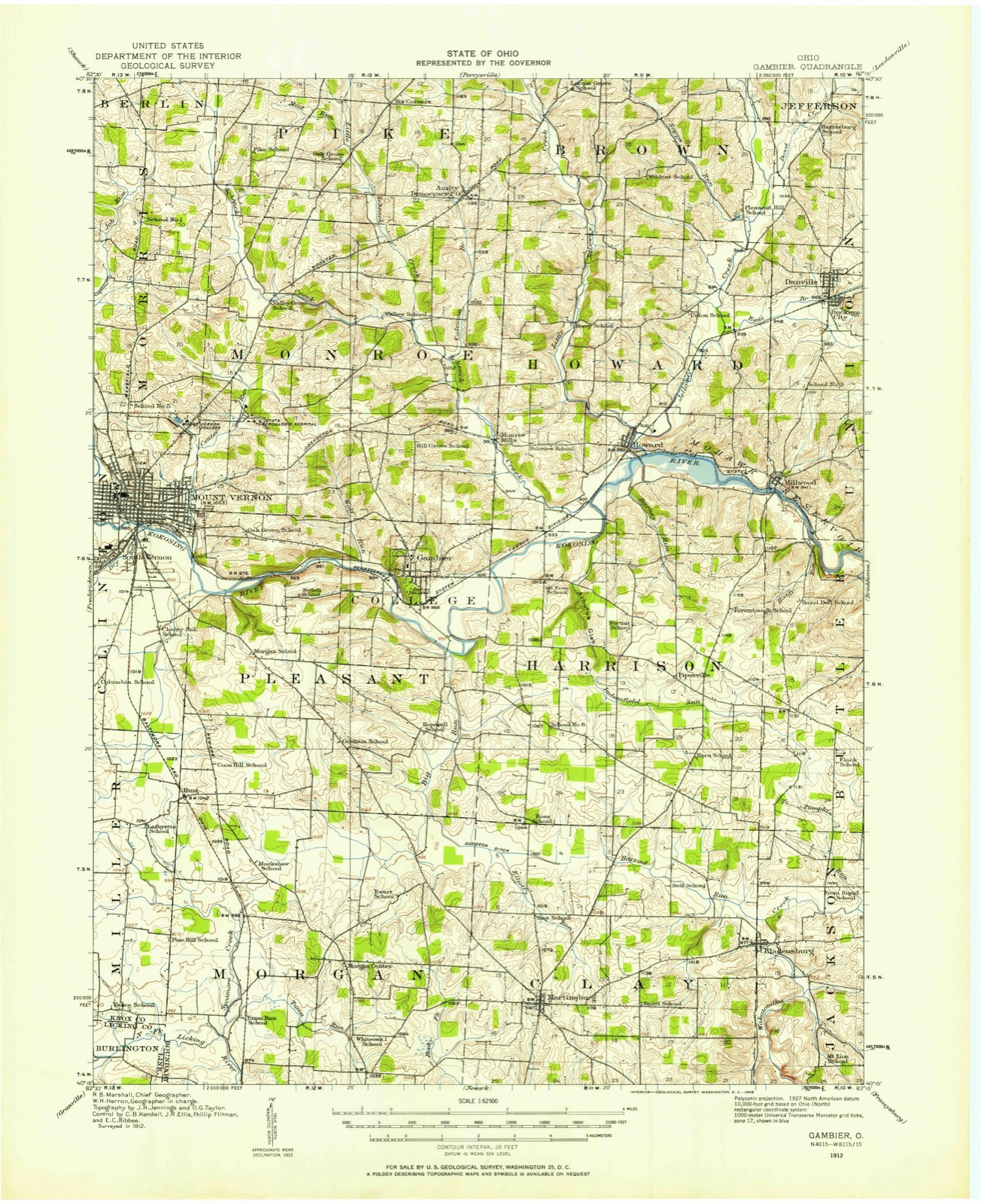
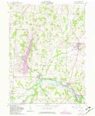
1912 to 1966The same ground, surveyed 54 years apart. Drag the handle to wipe between them. Both sheets are United States Geological Survey originals; neither has been altered.
Topographic sheets covering this place
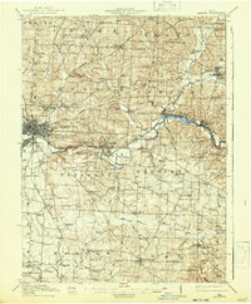
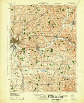
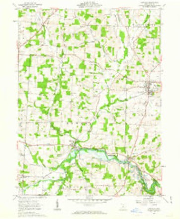
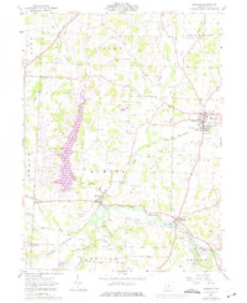
12 sheetsMatched by testing this settlement's coordinate against the published boundary of every sheet in the United States Geological Survey's historical collection. Each opens the scanned sheet at the Survey.
- 1912 USGS Gambier quadrangle1:62500
- 1912 USGS Gambier quadrangle1:62500
- 1914 USGS Gambier quadrangle1:62500
- 1943 USGS Gambier quadrangle1:62500
- 1950 USGS Marion quadrangle1:250000
- 1961 USGS Danville quadrangle1:24000
- 1961 USGS Danville quadrangle1:24000
- 1961 USGS Danville quadrangle1:24000
- 1962 USGS Marion quadrangle1:250000
- 1966 USGS Marion quadrangle1:250000
- 1966 USGS Marion quadrangle1:250000
- 1966 USGS Marion quadrangle1:250000





In the county-history sources
10,681 words on this townshipA History of Knox County, Ohio, from 1779 to 1862 Inclusive; Comprising Biographical Sketches, Anecdotes .., published 1862; History of Knox County, Ohio, Its Past and Present, Containing a Condensed, Comprehensive History of Ohio, Including an Outline History of the Northwest; a Complete History of Knox County ... a Record of Its Soldiers in the Late War; Portraits of Its Early Settlers and Prominent Men ... Biographies and Histories of Pioneer Families, Etc, published 1881 names this settlement in its chapter on Union Township. These are the passages that mention it, exactly as the scans read.
The towns of Danville, Millwood and Oavallo are in this township. The first is one of the oldest in the county. For the past twenty years it has not improved much. It is the oldest post-ofiice in the eastern part of Knox: its post-masters have been W. R. Sapp, Enoch Sapp. G. H. Davidson, and S. W. Sapp. Oavallo was a great place on paper in the days of the Canal fever. While Isaac Means, S. W. Farquhar, W. Y. Richardson, D. S. Fairchild, 0. Keller, H. Thomas and others lived there it had much trade. From 1813 to 1818 were its best days ; then, almost all the exports and imports of Knox were through this port, four large warehouses were erected, and goods were sold by wholesale ; now, the only man living within its limits is i*^elson Thatcher, and his neighbor on the old Butler farm is Solomon Gearner. The future
Passage source: A History of Knox County, Ohio, from 1779 to 1862 Inclusive; Comprising Biographical Sketches, Anecdotes .., published 1862.
John Welker, sr., came from Pennsylvania in 1808, settling on section fifteen. About the same time his brother, David Welker, came. The Welkers were of German descent. These pioneers were industrious, energetic, hard-working men. They had to encounter all the privations of early occupation of unsettled territory. At that early day they packed their salt and other necessaries with horse and pack-saddle from Zanesville, through an almost unbroken wilderness, and did their milling at the same place. In the War of 181 2 John Welker served as a high private, and received a land warrant for his services, and that was the highest position he ever sought. Although often urged by his neighbors to accept office, he always refused. He reared a family of fourteen children, all of whom lived to the age of manhood and womanhood. One of his sons, Martin Welker, born in Union in 1819, left the farm in 1831, and went with his brother, John, jr., to clerk in his store at Millwood, where he remained several years. He intended to make a merchant of himself, but an incident occurred, which changed his plans of life. In the store one day, a man offered him a bank bill which, on inspection he found to be counterfeit, and so informed the man. It was passed on another individual, and he prosecuted, and Martin was subpoened as a witness, before the grand jury at Mt. Vernon. He attended, and was compelled to remain several days. He had never seen a court, or a live judge. He there saw Judge Dean, then in the prime of life on the bench, and who seemed to him a much greater man than General Jackson, of whom he had heard. He also there saw Brown, the Curtises, Delano and other lawyers engaged in court matters, and he concluded it would be a great thing himslf to be a lawyer. Sitting beside another boy of his acqaintance, he informed him that he would be a lawyer and a judge, and some day take the place of Judge Dean. He kept that resolve before him, and worked for that aim and purpose, and within twenty years, with their great changes, he became a lawyer, and was elected in 1851, judge of the district over Judge Dean, who was his opponent at the election. He sat upon the same bench, held the same court at Mt. Vernon, the holding which by Judge Dean had inspired his youthful ambition. After leaving his brother's store, he studied law with the late Hon. W. R. Sapp at Millersburgh, Holmes county, and subsequently practiced law in partnership with him for several years. In 1851 he was elected judge of the sixth district as before mentioned. In 1857 he was elected by the Republicans, lieutenant-governor on the ticket with Governor Salmon P. Chase. He served one term, and declined a renomination. In 1864 he was nominated for Congress for the fourteenth district, and elected, and was reelected in 1866 and 1868, serving six years in Congress. During the war he served as as aid-de-camp to Governor Dennison, and assistant adjutant general with Governor David Tod, with the rank of colonel. In November, 1873, he was appointed by President Grant, district judge for the United States, for the Northern district of Ohio, which office he still holds. John Welker, sr., lived many years in the enjoyment of the fruits of his pioneer labors. He died in 1869.
William Lydick, a brother-in-law of John Welker, sr., came at the same time with him to Union township. He settled on section sixteen. He was married while residing in Pennsylvania to Miss Catharine Welker. He continued to reside in Union until his death in 1861. One of his sons, Reuben, still lives here.
Machine-read from a century-old scan, so expect the errors a machine makes: misspelled names, dropped words, stray characters.
Read the whole chapter on Union Township - it names this place 12 more 12 times.
Photographs
1 photograph, 2016Taken for the Office of War Information and the Farm Security Administration, who photographed the country between 1935 and 1944. Works of United States government photographers, with no known restriction on use. Each opens its catalogue record.
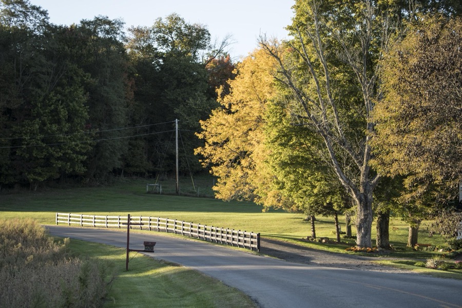
Highsmith, Carol M, 2016. Library of Congress
Fires near this place
57 since 2004Regional context, not property-specific evidence. The federal wildfire occurrence database lists 57 fires within 5 miles of Danville between 2004 and 2020, burning about 49 acres in total. None started naturally. 3 were recorded as arson. Distance is straight-line from the map coordinates, so a fire counted here may appear on a neighbouring settlement's page as well.
| Reported cause | Fires |
|---|---|
| Debris and open burning | 40 |
| Missing data/not specified/undetermined | 8 |
| Arson/incendiarism | 3 |
| Recreation and ceremony | 3 |
| Equipment and vehicle use | 2 |
| Power generation/transmission/distribution | 1 |
The most recent of them, most recent first, with the day each was reported and the service that recorded it.
| Date | Cause | Size | Reported by | Name on the report |
|---|---|---|---|---|
| 9 August 2020 | Debris and open burning | under an acre | Ohio Department of Natural Resources | 15805 |
| 14 August 2020 | Debris and open burning | under an acre | Ohio Department of Natural Resources | 15810 |
| 5 July 2017 | Debris and open burning | under an acre | Ohio Department of Natural Resources | 8446 |
| 11 July 2017 | Debris and open burning | under an acre | Ohio Department of Natural Resources | 8508 |
| 8 May 2019 | Debris and open burning | under an acre | Ohio Department of Natural Resources | 15191 |
| 8 May 2015 | Debris and open burning | 1.0 acres | Ohio Department of Natural Resources | 1206 |
| 5 May 2015 | Debris and open burning | under an acre | Ohio Department of Natural Resources | 1202 |
| 3 May 2015 | Debris and open burning | 1.0 acres | Ohio Department of Natural Resources | 1104 |
Settlements close enough to share some of these fires:
Specimens collected near this place
12 of 257 shownRegional context, not property-specific evidence. Museums hold 257 specimens collected within 10 miles of Danville between 1890 and 1974: 224 Animalia, 20 Plantae, 13 Fungi. 12 distinct Species records are shown. Collected by C F WALKER, C. Stein, R. Johnson & J. Jenkinson, Collector unknown and others. Each is a physical object with a catalogue number, and each entry opens the museum's record. This is what was collected and kept, not a survey of what lives here - nothing can be concluded from a species being absent.
| Image | Species | Year | Collected by | Where, as recorded |
|---|---|---|---|---|
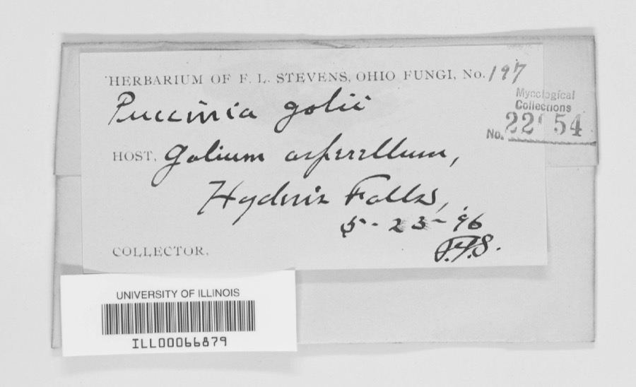 | Puccinia galii (Pers.) Schwein. | 1896 | F. L. Stevens | Hayden Falls |
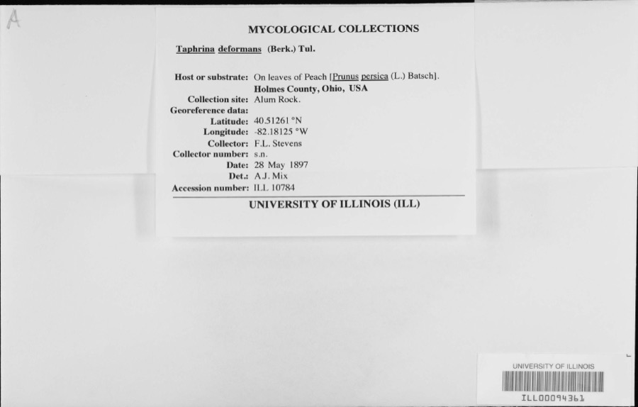 | Taphrina deformans (Berk.) Tul. | 1897 | F.L. Stevens | |
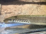 | Lampetra aepyptera (Abbott, 1860) | 1890 | Parker, J. B. | Big Jelloway Creek, within in Knox County OH no other locality info coordinates approximate |
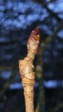 | Aesculus hippocastanum L. | 1892 | Collector unspecified | |
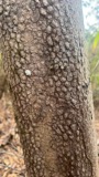 | Cornus florida L. | 1892 | Collector unknown | |
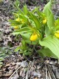 | Cypripedium parviflorum var. makasin (Farw.) Sheviak | 1892 | M. C. Ferguson | Gambier |
 | Erythronium americanum Ker Gawl. | 1892 | M. Warner | Gambier |
 | Oxalis violacea L. | 1892 | Collector unspecified | |
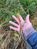 | Polytrichum commune Hedw. | 1892 | not recorded | Gambier |
| Rumex acetosella L. | 1892 | Collector unspecified | ||
| Rumex obtusifolius L. | 1892 | M. C. Ferguson | ||
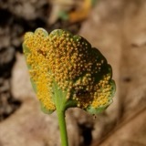 | Puccinia eatoniae Arthur | 1897 | W. A. Kellerman | Brinkhaven. |
All 257 specimens within 10 miles, at the Global Biodiversity Information Facility.
Mines and quarries near this place
7 within 5 milesRegional context, not property-specific evidence. The federal mineral resources record lists 7 workings within 5 miles of Danville: 5 past producers, 2 producers. 2 still produce. What was taken out: Stone, Crushed/Broken, Sand and Gravel, Construction, Flagstone. Distance is straight-line from the map coordinates, so a quarry counted here may appear on a neighbouring settlement's page as well.
| Where | Site | Commodity | Status | Recorded |
|---|---|---|---|---|
| Briar Hill Brinkhaven Pit | Flagstone | Producer | ||
| Brinkhaven Pit | Sand and Gravel, Construction | Past Producer | Sedimentary | |
| Brinkhaven Pit | Sand and Gravel, Construction | Past Producer | ||
| Number 6 Quarry | Flagstone | Past Producer | ||
| Knox County Quarries | Stone, Crushed/Broken | Past Producer | Sedimentary | |
| Millwood Sand Quarry | Stone, Crushed/Broken | Past Producer | Sedimentary | |
| Millwood Sand Quarry | Stone, Crushed/Broken | Producer |
Storms near this place
23 since 1994Regional context, not property-specific evidence. The National Weather Service names Danville in 23 storm reports between 1994 and 2022: 18 thunderstorm wind, 3 hail, 1 tornado, 1 flood. No death or injury is recorded in these reports. Each account below is quoted exactly as the forecast office filed it, from the NOAA Storm Events Database, and each date opens the federal record of that event.
| When | Event | Place named | Harm | What the report says |
|---|---|---|---|---|
| July 2013 | Flood | Danville | $200,000 | In Knox County water had closed sections of Waterford, Quaker, Darlington, Yankee, Toms, Lock, Orange Hill, Lanning, Wally and Knox Lake roads. According to the Knox County EMA, Fredericktown and Danville were hit the hardest in that area. Campers were moved to higher ground at Camp Kokosing after the North Branch of the Kokosing River inundated the campground with 3 to 5 feet of water. Several camper trailers were inundated. |
| October 2001 | Thunderstorm Wind | Danville | $100,000 | Thunderstorm winds destroyed a three story 30 by 50 foot barn. A power pole nearby fell on a car and severely damaged it. |
| July 2003 | Thunderstorm Wind | Danville | $25,000 | Thunderstorm winds downed many trees. |
| June 2013 | Thunderstorm Wind | Danville | $15,000 | Thunderstorm winds downed many trees. |
| July 2019 | Thunderstorm Wind | Danville | $10,000 | Several trees and power lines were blown down. |
| July 2019 | Thunderstorm Wind | Danville | $10,000 | Several trees and power lines were blown down around Danville. |
| May 2003 | Thunderstorm Wind | Danville | $10,000 | Thunderstorm winds downed a few trees in northeastern Knox County near Greer. |
| June 1998 | Tornado (F0) | Danville | $10,000 | A tornado touched down south of Danville and remained on the ground for a short time. Numerous trees were downed. |
| August 2003 | Thunderstorm Wind | Danville | $7,000 | Thunderstorm winds downed two trees and a few large limbs. |
| April 1999 | Thunderstorm Wind | Danville | $5,000 | Trees were downed. |
| September 1994 | Thunderstorm Wind | Danville | $5,000 | Trees were downed, some on power lines. |
| July 2013 | Thunderstorm Wind | Danville | $4,000 | The post office reported trees down with hail of unknown size. |
| July 2017 | Thunderstorm Wind | Danville | $2,000 | Thunderstorm winds downed a large tree across U.S. Highway 36 just west of the county line. |
| July 2008 | Thunderstorm Wind | Danville | $2,000 | Thunderstorm winds downed a tree and large limb. |
| August 1995 | Thunderstorm Wind | Danville | $2,000 | Trees were downed. |
| May 2008 | Thunderstorm Wind | Danville | $1,000 | Thunderstorm winds downed a large tree limb. |
| August 2008 | Thunderstorm Wind | Danville | $1,000 | A tree and a large limb was reported down. |
| June 2022 | Thunderstorm Wind | Danville | - | Numerous trees downed in Danville. |
| August 2021 | Thunderstorm Wind | Danville | - | Numerous trees and power lines downed in Danville. |
| May 2014 | Hail | Danville | - | Nickel sized hail was observed. |
| July 2011 | Thunderstorm Wind | Danville | - | Thunderstorm winds downed a tree and a few large limbs. |
| June 2010 | Hail | Danville | - | Penny sized hail was observed. |
| April 2010 | Hail | Danville | - | Nickel to quarter sized hail was observed. |
Nearest settlements
The eight closest, with where each one stands in the county. Distances are straight-line, computed from the Geographic Names Information System coordinates.
| Map | Place | Distance | Sheets |
|---|---|---|---|
| Buckeye City | 0.3 miles | 12 | |
| Oak Hill | 2.5 miles | 12 | |
| Millwood | 3.4 miles | 12 | |
| Brinkhaven | 3.8 miles | 12 | |
| Hollisters (historical) | 4.5 miles | 12 | |
| Howard | 4.5 miles | 12 | |
| Umbria (historical) | 5.0 miles | 12 | |
| Zuck | 5.0 miles | 12 |
Elsewhere
Matched on this settlement's Geographic Names Information System number rather than its name, so it cannot be a different place of the same name in another state.
| Wikipedia article on Danville | An encyclopaedic summary. Its text is share-alike, so it is linked here rather than copied. |
| Wikidata item Q2216280 | The structured record the population and elevation above come from. Public domain (CC0). |
Provenance
This settlement is recorded in the Geographic Names Information System as feature 1039574. The sheet list is computed by point-in-boundary test against the United States Geological Survey's historical topographic inventory. Both are works of the United States government and carry no copyright under 17 U.S.C. 105.
Wildfire. Short, Karen C. 2022. Spatial wildfire occurrence data for the United States, 1992-2020 [FPA_FOD_20221014]. 6th Edition. Fort Collins, CO: Forest Service Research Data Archive. https://doi.org/10.2737/RDS-2013-0009.6 Collected with United States Government funding and usable without additional permissions or fees.
Specimens. Global Biodiversity Information Facility (GBIF), https://www.gbif.org/. Only records licensed CC0 or CC BY are used. Records licensed CC BY-NC are excluded because this site carries advertising. Images are checked individually and any whose licence is non-commercial, no-derivatives or unreadable is refused.
Mines and quarries. USGS Mineral Resources Data System (MRDS) https://mrdata.usgs.gov/mrds/ A work of the United States government, no copyright under 17 U.S.C. 105.
Storms. NOAA National Centers for Environmental Information, Storm Events Database https://www.ncei.noaa.gov/stormevents/ A work of the United States government, no copyright under 17 U.S.C. 105. Narratives are quoted verbatim from the National Weather Service report and are not edited or summarised.