 Block
Canaan, Ohio
16 topographic sheets cover this place, the earliest surveyed in 1901 and the latest in 1994. It stands in Canaan Township. It lies in ZIP code area 44217. The Survey maps it on the Creston quadrangle.
Then and now
1901 to 1994The same ground, surveyed 93 years apart. Drag the handle to wipe between them. Both sheets are United States Geological Survey originals; neither has been altered.
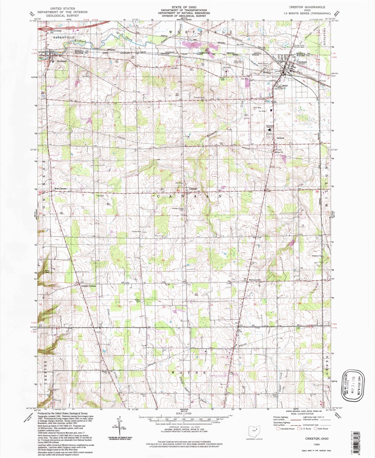
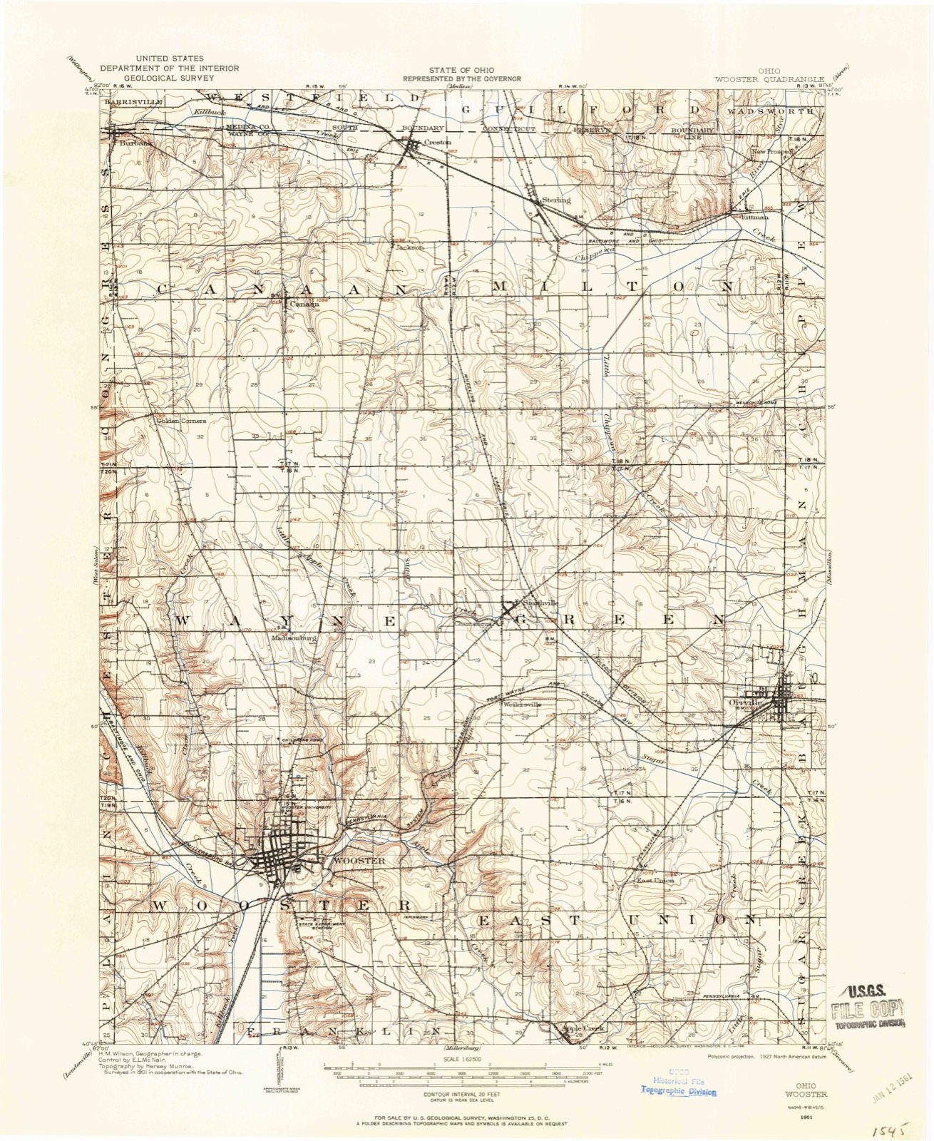
Topographic sheets covering this place
9 surveys from 16 printed sheetsMatched by testing this settlement's coordinate against the published boundary of every sheet in the United States Geological Survey's historical collection. Each opens the scanned sheet at the Survey.
- 1901 USGS Wooster quadrangle1:62500
- 1903 USGS Wooster quadrangle1:62500, 2 printings
- 1951 USGS Canton quadrangle1:250000
- 1953 USGS Canton quadrangle1:250000
- 1957 USGS Canton quadrangle1:250000, 3 printings
- 1961 USGS Creston quadrangle1:24000, 3 printings
- 1962 USGS Canton quadrangle1:250000, 2 printings
- 1986 USGS Canton quadrangle1:100000, 2 printings
- 1994 USGS Creston quadrangle1:24000
In the county-history sources
1,147 words on this townshipHistory of Wayne County, Ohio, published 1910 names this settlement in its chapter on Canaan Township. These are the passages that mention it, exactly as the scans read.
In the northern tier of townships, and the second from the western line of the county, is Canaan, the territory of which is six miles square. It was organized May 5, 1819, and was named by Dr. Isaac Barnes. In 1870 it had a population of almost two thousand people. According to the United States census in 1900 it had two thousand four hundred and one people.
Passage source: History of Wayne County, Ohio, published 1910.
Of the educational features of this township, it may be stated that one of the first institutions of learning in A¥ayne county was Canaan Academy, located at Windsor, this township. The original building was a structure of frame, thirty-six by forty-eight feet, erected in 1842 by a stock company. This academy was controlled by a board of directors, the first board of which consisted of John Paul, M. D., Jonas Notestine, Justine Mills, Harvey Rice and Alfred Hotchkiss. The school was first opened December 3, 1843, with forty-seven pupils, under the instruction of Prof. C. C. Bomberger, A. B., who taught three years. Reverends Barr and Barker had charge during the summer of 1847; succeeded in the winters of 1847 1848 by Prof. Isaac
Passage source: History of Wayne County, Ohio, published 1910.
Notestine, who, with short intervals, remained in charge until 1863. After that year the school was taught by a number of professors until 1875, when it was permanently closed. Prof. J. W. Cmumings being then in charge. While Professor Notestine was teaching, in the winter of 1851, the house was burned, and the next building was constructed of brick. It is conceded that Canaan Academy has been an important factor in the educational work of Wayne and adjoining counties.
Passage source: History of Wayne County, Ohio, published 1910.
Machine-read from a century-old scan, so expect the errors a machine makes: misspelled names, dropped words, stray characters.
Fires near this place
4 since 2002Regional context, not property-specific evidence. The federal wildfire occurrence database lists 4 fires within 5 miles of Canaan in 2002, burning about 5 acres in total. None started naturally. None was recorded as arson. Distance is straight-line from the map coordinates, so a fire counted here may appear on a neighbouring settlement's page as well.
| Reported cause | Fires |
|---|---|
| Missing data/not specified/undetermined | 2 |
| Equipment and vehicle use | 1 |
| Recreation and ceremony | 1 |
The most recent of them, most recent first, with the day each was reported and the service that recorded it.
| Date | Cause | Size | Reported by | Name on the report |
|---|---|---|---|---|
| 13 August 2002 | Equipment and vehicle use | 4.0 acres | Ohio State Fire Marshal's Office | not named |
| 24 April 2002 | Missing data/not specified/undetermined | under an acre | Ohio State Fire Marshal's Office | not named |
| 9 March 2002 | Recreation and ceremony | under an acre | Ohio State Fire Marshal's Office | not named |
| 2 March 2002 | Missing data/not specified/undetermined | under an acre | Ohio State Fire Marshal's Office | not named |
Settlements close enough to share some of these fires:
Specimens collected near this place
12 of 1,297 shownRegional context, not property-specific evidence. Museums hold 1,297 specimens collected within 10 miles of Canaan between 1889 and 1975: 949 Animalia, 165 Plantae, 142 Fungi, 40 Chromista, 1 Unrecorded. 12 distinct Species records are shown. Collected by A C ALLEN, A. D. Selby, A. E. Good and others. Each is a physical object with a catalogue number, and each entry opens the museum's record. This is what was collected and kept, not a survey of what lives here - nothing can be concluded from a species being absent.
| Image | Species | Year | Collected by | Where, as recorded |
|---|---|---|---|---|
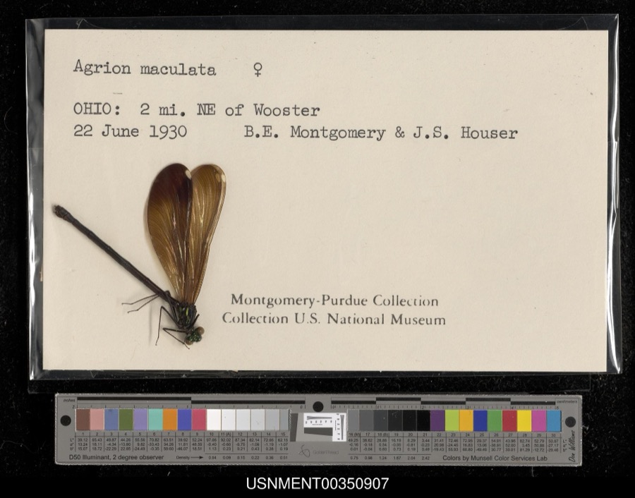 | Calopteryx maculata (Palisot de Beauvois, 1807) | 1930 | B. Montgomery & J. Houser | 2 miles northeast of Wooster |
 | Chelidon Forster, 1817 | 1889 | Hine, J. S. (James Stewart) | Wooster, Wayne, Ohio, USA |
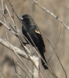 | Agelaius phoeniceus phoeniceus (Linnaeus, 1766) | 1890 | Harry C. Oberholser | Wooster |
 | Baeolophus bicolor (Linnaeus, 1766) | 1890 | Harry C. Oberholser | Wooster |
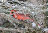 | Cardinalis cardinalis cardinalis (Linnaeus, 1758) | 1890 | Harry C. Oberholser | Wooster |
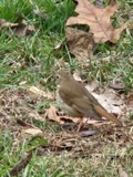 | Catharus guttatus faxoni (Bangs & T.E.Penard, 1921) | 1890 | Harry C. Oberholser | Wooster |
| Catharus ustulatus swainsoni (Tschudi, 1845) | 1890 | Harry C. Oberholser | Wooster | |
 | Certhia americana americana Bonaparte, 1838 | 1890 | Harry C. Oberholser | Wooster |
| Corthylio calendula calendula | 1890 | Harry C. Oberholser | Wooster | |
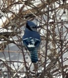 | Cyanocitta cristata bromia Oberholser, 1921 | 1890 | Harry C. Oberholser | Wooster |
 | Dryobates pubescens medianus (Swainson, 1832) | 1890 | Harry C. Oberholser | Wooster |
 | Eremophila alpestris alpestris (Linnaeus, 1758) | 1890 | Harry C. Oberholser | Wooster |
All 1,297 specimens within 10 miles, at the Global Biodiversity Information Facility.
Mines and quarries near this place
4 within 5 milesRegional context, not property-specific evidence. The federal mineral resources record lists 4 workings within 5 miles of Canaan: 3 past producers, 1 producer. 1 still produces. What was taken out: Sand and Gravel, Construction. Distance is straight-line from the map coordinates, so a quarry counted here may appear on a neighbouring settlement's page as well.
| Where | Site | Commodity | Status | Recorded |
|---|---|---|---|---|
| Jones Sand and Gravel Pit | Sand and Gravel, Construction | Past Producer | ||
| Lodi Pit | Sand and Gravel, Construction | Past Producer | Sedimentary | |
| Ramsier Pit | Sand and Gravel, Construction | Past Producer | Sedimentary | |
| Ramsier Pit | Sand and Gravel, Construction | Producer |
Nearest settlements
The eight closest, with where each one stands in the county. Distances are straight-line, computed from the Geographic Names Information System coordinates.
| Map | Place | Distance | Sheets |
|---|---|---|---|
| Jackson | 2.2 miles | 16 | |
| Hermanville | 2.4 miles | 16 | |
| Indian Head Village | 2.8 miles | 16 | |
| West Canaan | 3.0 miles | 16 | |
| Golden Corners | 3.2 miles | 16 | |
| Creston | 3.7 miles | 16 | |
| Douglas (historical) | 4.0 miles | 16 | |
| Burbank | 4.3 miles | 16 |
Provenance
This settlement is recorded in the Geographic Names Information System as feature 1060922. The sheet list is computed by point-in-boundary test against the United States Geological Survey's historical topographic inventory. Both are works of the United States government and carry no copyright under 17 U.S.C. 105.
Wildfire. Short, Karen C. 2022. Spatial wildfire occurrence data for the United States, 1992-2020 [FPA_FOD_20221014]. 6th Edition. Fort Collins, CO: Forest Service Research Data Archive. https://doi.org/10.2737/RDS-2013-0009.6 Collected with United States Government funding and usable without additional permissions or fees.
Specimens. Global Biodiversity Information Facility (GBIF), https://www.gbif.org/. Only records licensed CC0 or CC BY are used. Records licensed CC BY-NC are excluded because this site carries advertising. Images are checked individually and any whose licence is non-commercial, no-derivatives or unreadable is refused.
Mines and quarries. USGS Mineral Resources Data System (MRDS) https://mrdata.usgs.gov/mrds/ A work of the United States government, no copyright under 17 U.S.C. 105.