 Block
Creston, Ohio
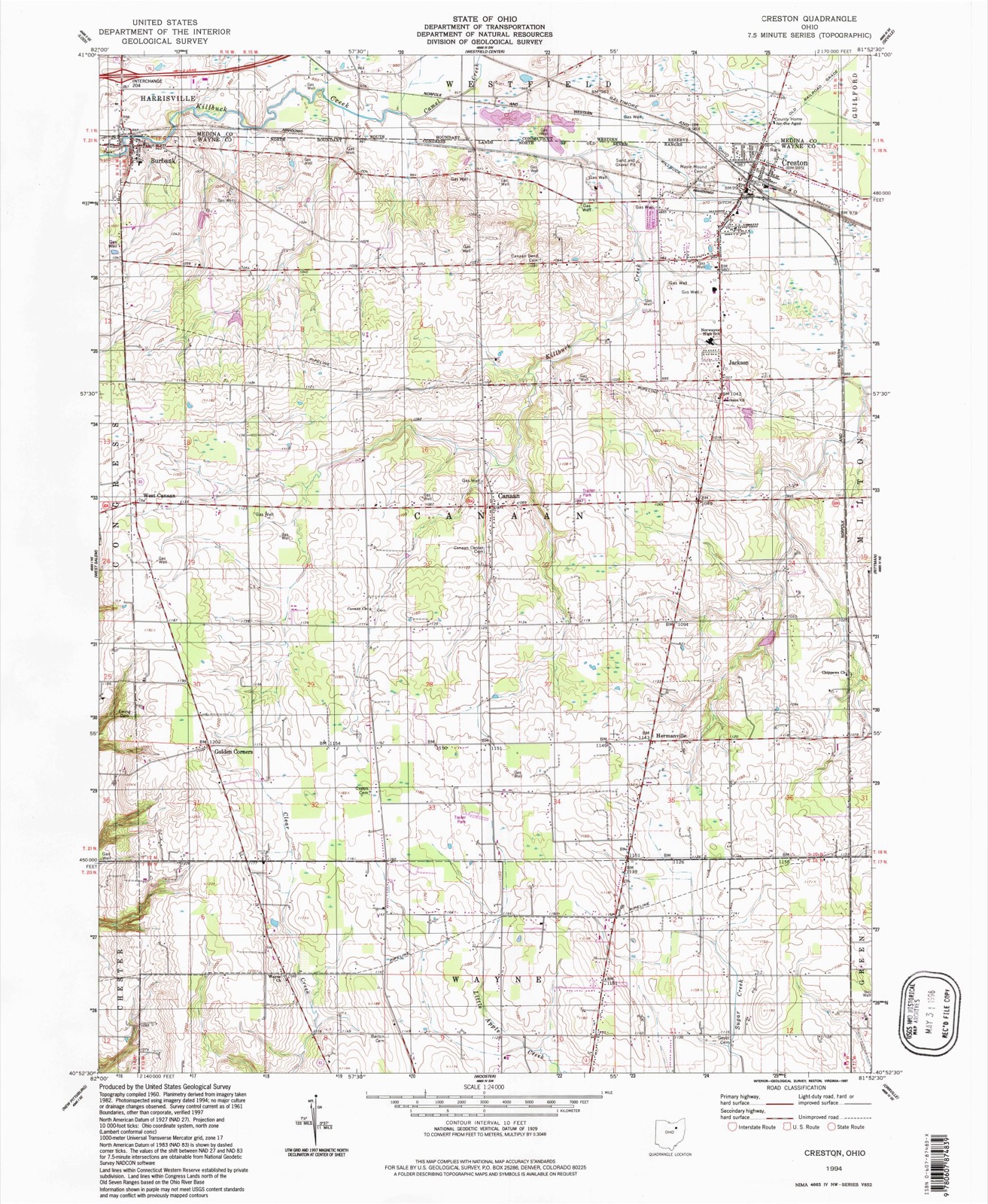
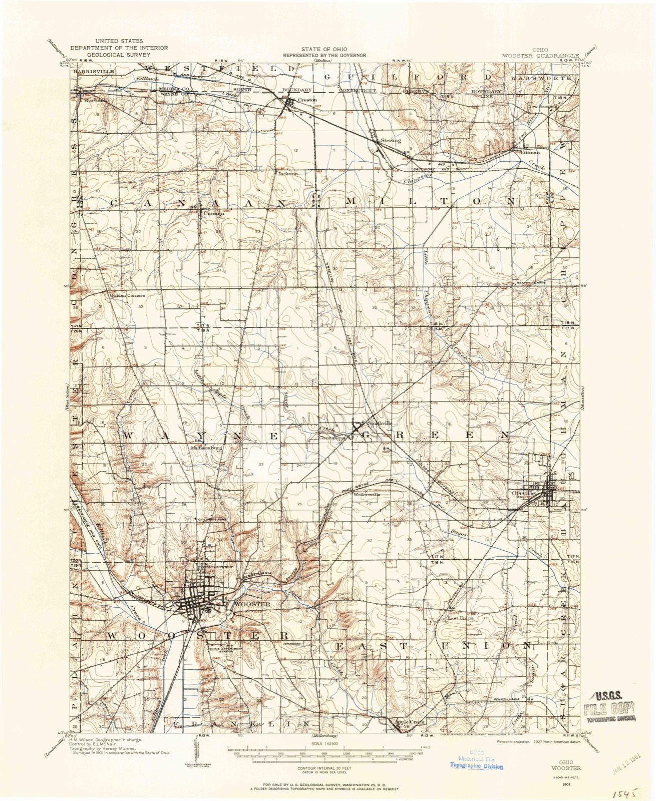
16 topographic sheets cover this place, the earliest surveyed in 1901 and the latest in 1994. It stands in Canaan Township. It lies in ZIP code area 44217. The Survey maps it on the Creston quadrangle.
Then and now
1901 to 1994The same ground, surveyed 93 years apart. Drag the handle to wipe between them. Both sheets are United States Geological Survey originals; neither has been altered.
On record in Creston
Buildings and businesses the archive holds for this place. Each opens its own page, with the source record it came from.
Businesses named in the fire insurance atlases 6 records
- Arcade Hotel, TheHotel, in the atlas of 1921
- B. & O. R. R. Passenger DepotDepot, in the atlas of 1921
- Cottage HotelHotel, in the atlas of 1921
- Erie R. R. Passenger & Freight DepotsDepot, in the atlas of 1921
- Milton Presbyterian ChurchChurch, in the atlas of 1921
- Post OfficeIce House, in the atlas of 1921
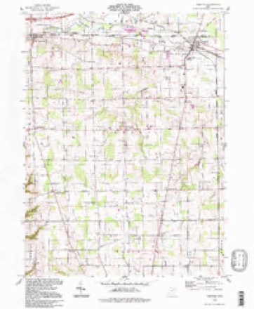
Topographic sheets covering this place
9 surveys from 16 printed sheetsMatched by testing this settlement's coordinate against the published boundary of every sheet in the United States Geological Survey's historical collection. Each opens the scanned sheet at the Survey.
- 1901 USGS Wooster quadrangle1:62500
- 1903 USGS Wooster quadrangle1:62500, 2 printings
- 1951 USGS Canton quadrangle1:250000
- 1953 USGS Canton quadrangle1:250000
- 1957 USGS Canton quadrangle1:250000, 3 printings
- 1961 USGS Creston quadrangle1:24000, 3 printings
- 1962 USGS Canton quadrangle1:250000, 2 printings
- 1986 USGS Canton quadrangle1:100000, 2 printings
- 1994 USGS Creston quadrangle1:24000
In the county-history sources
1,147 words on this townshipHistory of Wayne County, Ohio, published 1910 has no passage naming this settlement, which was common for smaller places. Its township is covered in full.
The chapter on Canaan Township covers the township.
Read the chapter on Canaan Township - 1,147 words.
Specimens collected near this place
12 of 85 shownRegional context, not property-specific evidence. Museums hold 85 specimens collected within 10 miles of Creston between 1896 and 1973: 57 Animalia, 22 Plantae, 4 Fungi, 2 Chromista. 12 distinct Species records are shown. Collected by A C ALLEN, Bruce Fink, Collector(s): Woodrow W. Goodpaster and others. Each is a physical object with a catalogue number, and each entry opens the museum's record. This is what was collected and kept, not a survey of what lives here - nothing can be concluded from a species being absent.
| Image | Species | Year | Collected by | Where, as recorded |
|---|---|---|---|---|
 | Cercosporina apii (Fresen.) Miura | 1896 | Selby A. D. | Creston |
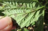 | Pseudoperonospora cubensis (Berk. & M.A.Curtis) Rostovzev | 1897 | Selby, A. D. | Creston |
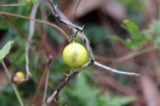 | Solanum carolinense L. | 1898 | Duvel, J.W.T | Creston |
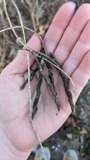 | Apios americana Medik. | 1899 | Selby, A.D. | Doner's Lake |
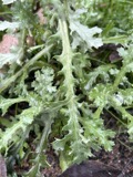 | Aster simplex C.C.Chang | 1899 | Selby, A.D. | near Smithville |
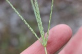 | Digitaria ischaemum (Schreb.) Muhl. | 1899 | Selby, A.D.; Duvel, J.W.T | Peewee Hollow |
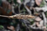 | Elymus virginicus L. | 1899 | Selby, A.D. | by Chippewa Creek, Easton |
 | Eragrostis pectinacea (Michx.) Nees ex Steud. | 1899 | Selby, A.D. | Sterling |
 | Festuca subverticillata (Pers.) E.B.Alexeev | 1899 | Selby, A.D. | Armstrong |
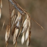 | Fraxinus pennsylvanica var. lanceolata (Borkh.) Sarg. | 1899 | Selby, A.D.; Duvel, J.W.T | N of Armstrong |
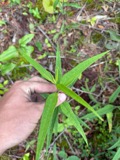 | Helianthus microcephalus Torr. & A.Gray | 1899 | Selby, A.D.; Duvel, J.W.T | N of Armstrong |
 | Lechea racemulosa Michx. | 1899 | Selby, A.D.; Duvel, J.W.T | Peewee Hollow, Congress Twp |
All 85 specimens within 10 miles, at the Global Biodiversity Information Facility.
Mines and quarries near this place
4 within 5 milesRegional context, not property-specific evidence. The federal mineral resources record lists 4 workings within 5 miles of Creston: 3 past producers, 1 producer. 1 still produces. What was taken out: Sand and Gravel, Construction. Distance is straight-line from the map coordinates, so a quarry counted here may appear on a neighbouring settlement's page as well.
| Where | Site | Commodity | Status | Recorded |
|---|---|---|---|---|
| Jones Sand and Gravel Pit | Sand and Gravel, Construction | Past Producer | ||
| Lodi Pit | Sand and Gravel, Construction | Past Producer | Sedimentary | |
| Ramsier Pit | Sand and Gravel, Construction | Past Producer | Sedimentary | |
| Ramsier Pit | Sand and Gravel, Construction | Producer |
Storms near this place
14 since 1997Regional context, not property-specific evidence. The National Weather Service names Creston in 14 storm reports between 1997 and 2026: 9 hail, 3 thunderstorm wind, 2 lightning. No death or injury is recorded in these reports. Each account below is quoted exactly as the forecast office filed it, from the NOAA Storm Events Database, and each date opens the federal record of that event.
| When | Event | Place named | Harm | What the report says |
|---|---|---|---|---|
| April 2001 | Lightning | Creston | $500,000 | Lightning struck a barn at a poultry farm and caused a fire. The fire completely destroyed a barn and killed 12,000 chickens inside. |
| May 2004 | Hail | Creston | $75,000 | Penny to walnut size hail was observed. Many vehicles were damaged by the hail. |
| May 1997 | Lightning | Creston | $5,000 | Lightning struck a tree, traveled to a house and started a fire that damaged a back bedroom and a porch. |
| March 2026 | Hail | Creston | - | Hail up to penny-size in Creston. |
| August 2024 | Thunderstorm Wind | Creston | - | Trees downed in Creston. |
| July 2019 | Thunderstorm Wind | Creston | - | Several large tree limbs and branches were blown down. |
| May 2017 | Hail | Creston | - | Quarter sized hail was observed. |
| July 2012 | Hail | Creston | - | Penny sized hail was reported. |
| April 2011 | Thunderstorm Wind | Creston | - | An estimated wind gust of 70 mph was recorded with this thunderstorm. |
| September 2011 | Hail | Creston | - | Penny sized hail was observed. |
| June 2008 | Hail | Creston | - | Nickel size hail was observed. |
| June 2008 | Hail | Creston | - | Nickel size hail was observed. |
| August 2007 | Hail | Creston | - | Penny size hail was observed. |
| September 2003 | Hail | Creston | - | Penny size hail was observed. |
Nearest settlements
The eight closest, with where each one stands in the county. Distances are straight-line, computed from the Geographic Names Information System coordinates.
| Map | Place | Distance | Sheets |
|---|---|---|---|
| Indian Head Village | 1.0 miles | 16 | |
| Jackson | 1.9 miles | 16 | |
| Sterling | 2.7 miles | 16 | |
| Johnsons Corners | 3.3 miles | 16 | |
| Canaan | 3.7 miles | 16 | |
| Hermanville | 5.0 miles | 16 | |
| Douglas (historical) | 5.0 miles | 16 | |
| Burbank | 5.4 miles | 16 |
Provenance
This settlement is recorded in the Geographic Names Information System as feature 1061007. The sheet list is computed by point-in-boundary test against the United States Geological Survey's historical topographic inventory. Both are works of the United States government and carry no copyright under 17 U.S.C. 105.
Specimens. Global Biodiversity Information Facility (GBIF), https://www.gbif.org/. Only records licensed CC0 or CC BY are used. Records licensed CC BY-NC are excluded because this site carries advertising. Images are checked individually and any whose licence is non-commercial, no-derivatives or unreadable is refused.
Mines and quarries. USGS Mineral Resources Data System (MRDS) https://mrdata.usgs.gov/mrds/ A work of the United States government, no copyright under 17 U.S.C. 105.
Storms. NOAA National Centers for Environmental Information, Storm Events Database https://www.ncei.noaa.gov/stormevents/ A work of the United States government, no copyright under 17 U.S.C. 105. Narratives are quoted verbatim from the National Weather Service report and are not edited or summarised.