 Block
Block
Chase, Ohio
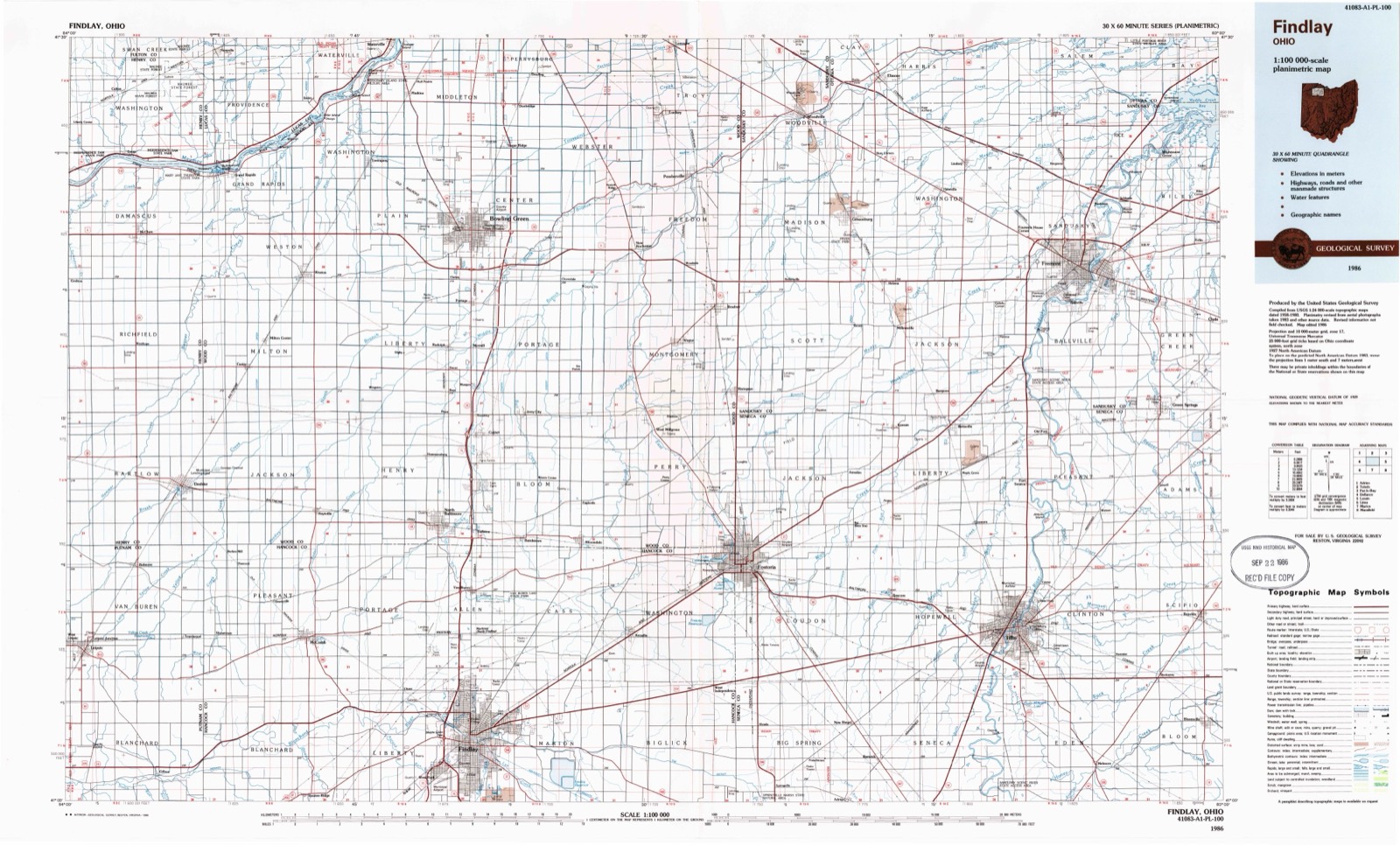
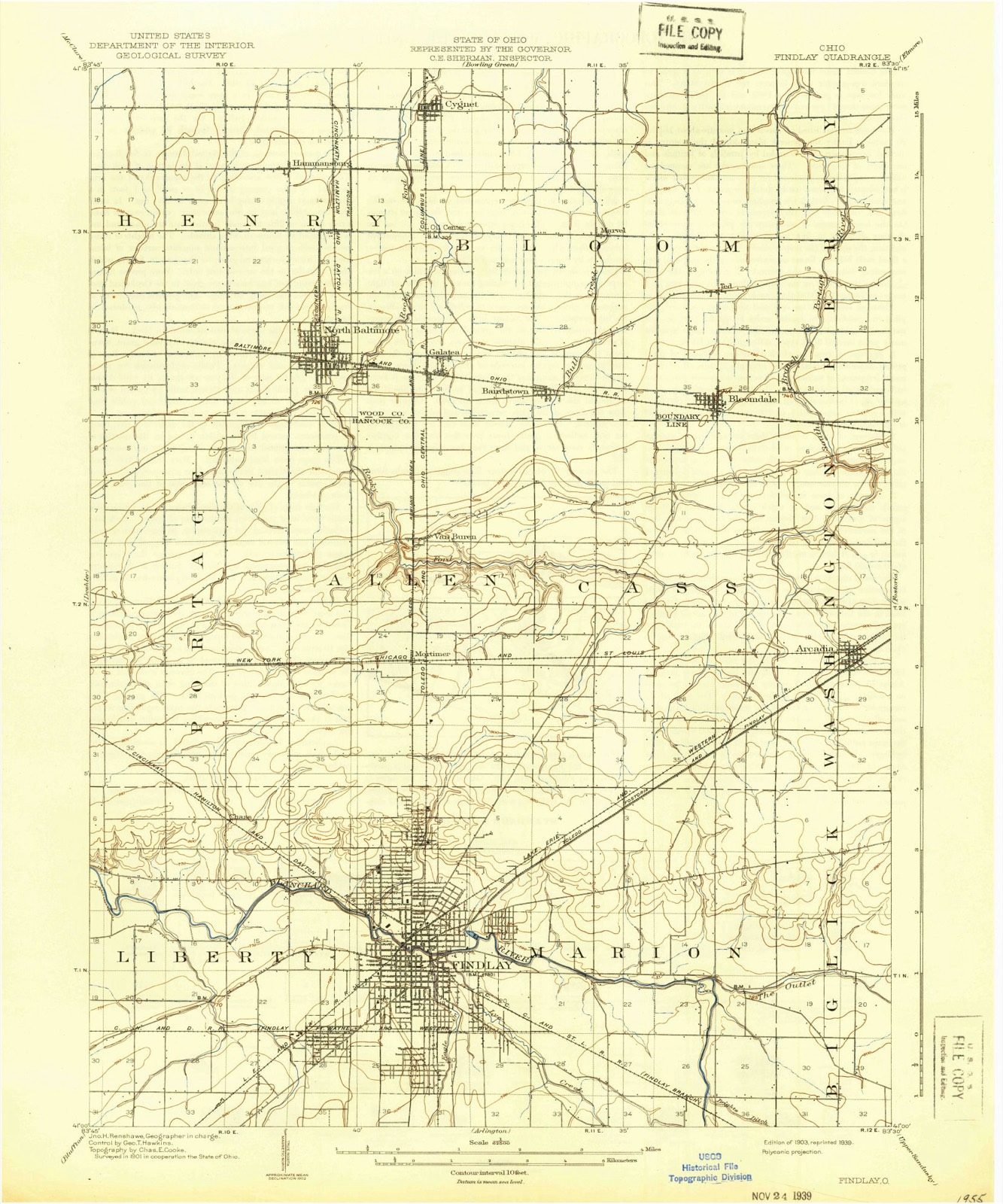
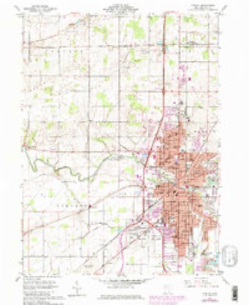
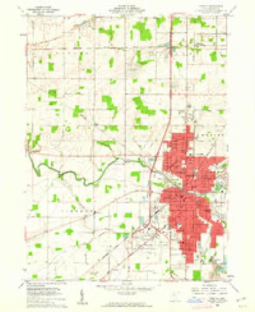
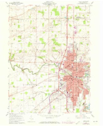
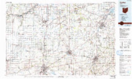
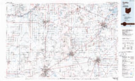
13 topographic sheets cover this place, the earliest surveyed in 1903 and the latest in 1986. It stands in Liberty Township. It lies in ZIP code area 45840. The Survey maps it on the Findlay quadrangle.
Then and now
1903 to 1986The same ground, surveyed 83 years apart. Drag the handle to wipe between them. Both sheets are United States Geological Survey originals; neither has been altered.
Compare 1903 against another survey:
Topographic sheets covering this place
13 sheetsMatched by testing this settlement's coordinate against the published boundary of every sheet in the United States Geological Survey's historical collection. Each opens the scanned sheet at the Survey.
- 1903 USGS Findlay quadrangle1:62500
- 1903 USGS Findlay quadrangle1:62500
- 1956 USGS Toledo quadrangle1:250000
- 1956 USGS Toledo quadrangle1:250000
- 1956 USGS Toledo quadrangle1:250000
- 1956 USGS Toledo quadrangle1:250000
- 1960 USGS Findlay quadrangle1:24000
- 1960 USGS Findlay quadrangle1:24000
- 1960 USGS Findlay quadrangle1:24000
- 1960 USGS Findlay quadrangle1:24000
- 1961 USGS Toledo quadrangle1:250000
- 1986 USGS Findlay quadrangle1:100000
- 1986 USGS Findlay quadrangle1:100000






In the county-history sources
10,698 words on this townshipHistory of Hancock County [Ohio] from Its Earliest Settlement to the Present Time, Together with Remeiniscenses of Pioneer Life, Incidents, Statistical Tables, and Biographical Sketches, published 1881 names this settlement in its chapter on Liberty Township. These are the passages that mention it, exactly as the scans read.
On the 20th of December of the same year, Robert Mc- Kiunis entered the east part of the north-west quarter of section 7, and Charles McKinnis entered the west half (if the north-west quarter of section 7. John Gardner entered the north half of the north-east quarter of section 10, and on the 27th day of the same month Jacob Poe entered the west half of the south-west quarter of section 8. September 5th, 1825, Thomas Wilson entered the east half of the south-east quarter of section 9, and in August 1828, R. L. Strother entered the north-east quarter of section 21, and these were followed by entries made by Alfred Hampton, John Hobbs, Richard Watson, Isaac Comer and others.
Passage source: History of Hancock County [Ohio] from Its Earliest Settlement to the Present Time, Together with Remeiniscenses of Pioneer Life, Incidents, Statistical Tables, and Biographical Sketches, published 1881.
Isaac Comer came to this township from Fairfield County, and located on the farm now owned by J. B. Wagner, about four miles west of Findley, on the Benton road. Mr. Comer was one of those large, jolly, good-natured men that we occasionally meet. Frank in all his sayings, kind and gen- -erous in his acts, honest and prompt in his dealings, he was iuniversally liked, aud his death was sincerely regretted.
Passage source: History of Hancock County [Ohio] from Its Earliest Settlement to the Present Time, Together with Remeiniscenses of Pioneer Life, Incidents, Statistical Tables, and Biographical Sketches, published 1881.
Machine-read from a century-old scan, so expect the errors a machine makes: misspelled names, dropped words, stray characters.
Read the whole chapter on Liberty Township - it names this place 1 more 1 time.
Specimens collected near this place
12 of 316 shownRegional context, not property-specific evidence. Museums hold 316 specimens collected within 10 miles of Chase between 1883 and 1975: 305 Animalia, 11 Fungi. 12 distinct Species records are shown. Collected by Auten, CL & LC Hubbs, CLARENCE CLARK and others. Each is a physical object with a catalogue number, and each entry opens the museum's record. This is what was collected and kept, not a survey of what lives here - nothing can be concluded from a species being absent.
| Image | Species | Year | Collected by | Where, as recorded |
|---|---|---|---|---|
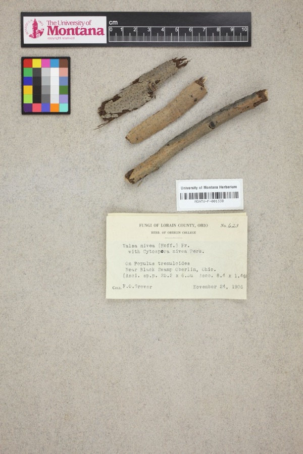 | Valsa nivea (Hoffm.) Fr. | 1906 | F. O. Grover | Near Black Swamp, Oberlin. |
 | Notropis boops Gilbert, 1884 | 1883 | Kirsch, P. H | Blanchard River, Findlay |
 | Esox americanus vermiculatus Lesueur, 1846 | 1893 | P. Kirsch | Blanchard River, Findlay, Ohio |
 | Micropterus dolomieu Lacepède, 1802 | 1893 | P. Kirsch | Blanchard River, Findley, Ohio |
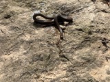 | Regina septemvittata (Say, 1825) | 1893 | not recorded | Findlay, Blanchard River |
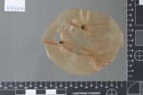 | Fusarium culmorum (Wm.G.Sm.) Sacc. | 1919 | Lewis H. L. | Findlay |
| Helminthosporium gramineum Rabenh. ex Schltdl. | 1919 | Lewis H. L. | Findlay | |
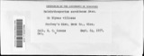 | Helminthosporium sorokinianum Sacc. | 1919 | Lewis H. L. | Findlay |
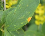 | Puccinia graminis Pers. | 1919 | Lewis H. L. | Findlay |
 | Catostomus commersonii (Lacepède, 1803) | 1925 | CL & LC Hubbs | Eagle Creek, due S of Findlay; Maumee River drainage |
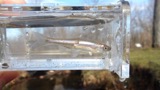 | Cyprinella spiloptera (Cope, 1867) | 1925 | CL & LC Hubbs | Eagle Creek, due S of Findlay; Maumee River drainage |
 | Etheostoma blennioides Rafinesque, 1819 | 1925 | CL & LC Hubbs | Eagle Creek, due S of Findlay; Maumee River drainage |
All 316 specimens within 10 miles, at the Global Biodiversity Information Facility.
Mines and quarries near this place
4 within 5 milesRegional context, not property-specific evidence. The federal mineral resources record lists 4 workings within 5 miles of Chase: 2 past producers, 1 plant, 1 producer. 2 still produce. What was taken out: Limestone, General, Stone, Crushed/Broken. Distance is straight-line from the map coordinates, so a quarry counted here may appear on a neighbouring settlement's page as well.
| Where | Site | Commodity | Status | Recorded |
|---|---|---|---|---|
| Findlay Quarry | Limestone, General | Past Producer | Sedimentary | |
| Findley Plant | Stone, Crushed/Broken | Plant | ||
| Tarbox-Mccall Quarry | Limestone, General | Past Producer | Sedimentary | |
| Tarbox-Mccall Quarry | Stone, Crushed/Broken | Producer |
Nearest settlements
The eight closest, with where each one stands in the county. Distances are straight-line, computed from the Geographic Names Information System coordinates.
| Map | Place | Distance | Sheets |
|---|---|---|---|
| Murphys | 1.2 miles | 13 | |
| Riverview Terrace Park | 2.1 miles | 13 | |
| Portage Center | 3.7 miles | 13 | |
| Findlay | 3.7 miles | 13 | |
| Cedar Tree Estates | 3.9 miles | 13 | |
| Highland Estates | 4.0 miles | 13 | |
| Mortimer | 4.0 miles | 13 | |
| West Park | 4.2 miles | 13 |
Provenance
This settlement is recorded in the Geographic Names Information System as feature 1039005. The sheet list is computed by point-in-boundary test against the United States Geological Survey's historical topographic inventory. Both are works of the United States government and carry no copyright under 17 U.S.C. 105.
Specimens. Global Biodiversity Information Facility (GBIF), https://www.gbif.org/. Only records licensed CC0 or CC BY are used. Records licensed CC BY-NC are excluded because this site carries advertising. Images are checked individually and any whose licence is non-commercial, no-derivatives or unreadable is refused.
Mines and quarries. USGS Mineral Resources Data System (MRDS) https://mrdata.usgs.gov/mrds/ A work of the United States government, no copyright under 17 U.S.C. 105.