 Block
Block
Mortimer, Ohio
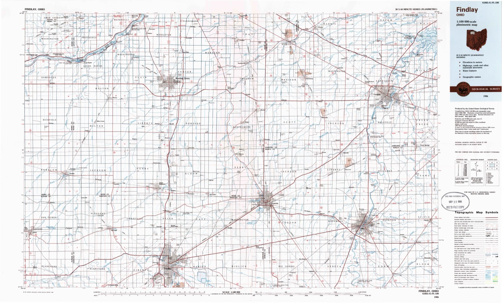
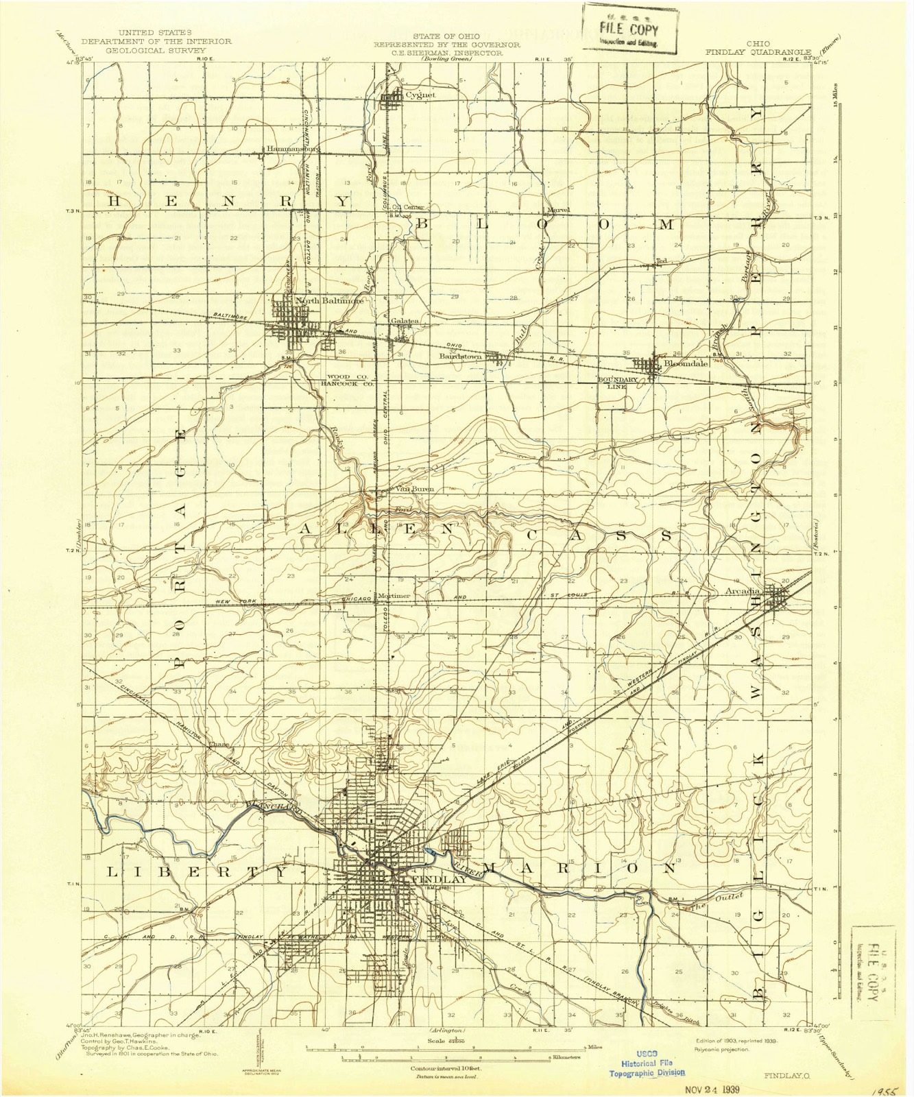
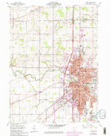
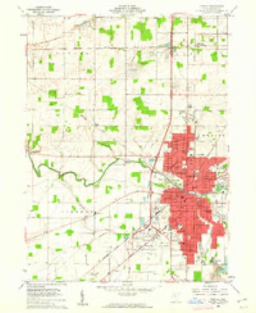
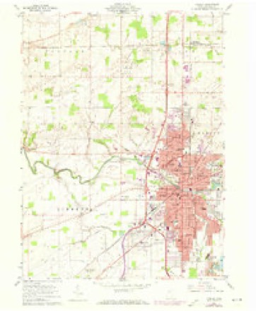
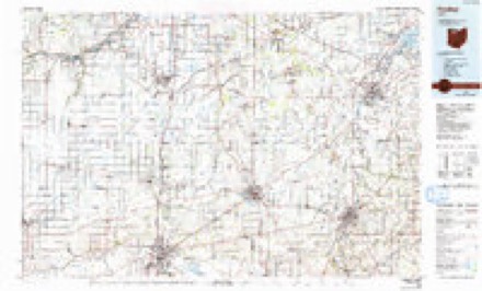
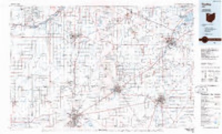
13 topographic sheets cover this place, the earliest surveyed in 1903 and the latest in 1986. It stands in Allen Township. It lies in ZIP code area 45840. The Survey maps it on the Findlay quadrangle.
Then and now
1903 to 1986The same ground, surveyed 83 years apart. Drag the handle to wipe between them. Both sheets are United States Geological Survey originals; neither has been altered.
Compare 1903 against another survey:
Topographic sheets covering this place
13 sheetsMatched by testing this settlement's coordinate against the published boundary of every sheet in the United States Geological Survey's historical collection. Each opens the scanned sheet at the Survey.
- 1903 USGS Findlay quadrangle1:62500
- 1903 USGS Findlay quadrangle1:62500
- 1956 USGS Toledo quadrangle1:250000
- 1956 USGS Toledo quadrangle1:250000
- 1956 USGS Toledo quadrangle1:250000
- 1956 USGS Toledo quadrangle1:250000
- 1960 USGS Findlay quadrangle1:24000
- 1960 USGS Findlay quadrangle1:24000
- 1960 USGS Findlay quadrangle1:24000
- 1960 USGS Findlay quadrangle1:24000
- 1961 USGS Toledo quadrangle1:250000
- 1986 USGS Findlay quadrangle1:100000
- 1986 USGS Findlay quadrangle1:100000






In the county-history sources
10,994 words on this townshipHistory of Hancock County [Ohio] from Its Earliest Settlement to the Present Time, Together with Remeiniscenses of Pioneer Life, Incidents, Statistical Tables, and Biographical Sketches, published 1881 names this settlement in its chapter on Allen Township. These are the passages that mention it, exactly as the scans read.
The first frame building erected in the township, was the Presbyterian church, which was built by John Kelley. The first brick building was that of John Trout, on the south the town of Van Buren. Old Johnny Appleseeds wa^^ through this part of the county, and there are still standing several appletrees of his planting, some of which are on the farm of Mr. Barnd.
Passage source: History of Hancock County [Ohio] from Its Earliest Settlement to the Present Time, Together with Remeiniscenses of Pioneer Life, Incidents, Statistical Tables, and Biographical Sketches, published 1881.
Machine-read from a century-old scan, so expect the errors a machine makes: misspelled names, dropped words, stray characters.
Specimens collected near this place
12 of 251 shownRegional context, not property-specific evidence. Museums hold 251 specimens collected within 10 miles of Mortimer between 1883 and 1975: 240 Animalia, 11 Fungi. 12 distinct Species records are shown. Collected by CL & LC Hubbs, CLARENCE CLARK, Collector(s): David E. Ferguson and others. Each is a physical object with a catalogue number, and each entry opens the museum's record. This is what was collected and kept, not a survey of what lives here - nothing can be concluded from a species being absent.
| Image | Species | Year | Collected by | Where, as recorded |
|---|---|---|---|---|
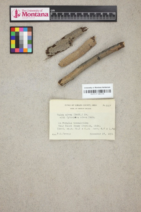 | Valsa nivea (Hoffm.) Fr. | 1906 | F. O. Grover | Near Black Swamp, Oberlin. |
 | Notropis boops Gilbert, 1884 | 1883 | Kirsch, P. H | Blanchard River, Findlay |
 | Esox americanus vermiculatus Lesueur, 1846 | 1893 | P. Kirsch | Blanchard River, Findlay, Ohio |
 | Micropterus dolomieu Lacepède, 1802 | 1893 | P. Kirsch | Blanchard River, Findley, Ohio |
 | Regina septemvittata (Say, 1825) | 1893 | not recorded | Findlay, Blanchard River |
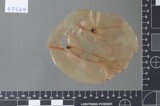 | Fusarium culmorum (Wm.G.Sm.) Sacc. | 1919 | Lewis H. L. | Findlay |
| Helminthosporium gramineum Rabenh. ex Schltdl. | 1919 | Lewis H. L. | Findlay | |
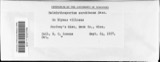 | Helminthosporium sorokinianum Sacc. | 1919 | Lewis H. L. | Findlay |
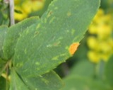 | Puccinia graminis Pers. | 1919 | Lewis H. L. | Findlay |
 | Catostomus commersonii (Lacepède, 1803) | 1925 | CL & LC Hubbs | Eagle Creek, due S of Findlay; Maumee River drainage |
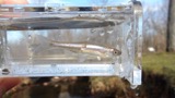 | Cyprinella spiloptera (Cope, 1867) | 1925 | CL & LC Hubbs | Eagle Creek, due S of Findlay; Maumee River drainage |
 | Etheostoma blennioides Rafinesque, 1819 | 1925 | CL & LC Hubbs | Eagle Creek, due S of Findlay; Maumee River drainage |
All 251 specimens within 10 miles, at the Global Biodiversity Information Facility.
Storms near this place
5 since 2007Regional context, not property-specific evidence. The National Weather Service names Mortimer in 5 storm reports between 2007 and 2022: 5 thunderstorm wind. No death or injury is recorded in these reports. Each account below is quoted exactly as the forecast office filed it, from the NOAA Storm Events Database, and each date opens the federal record of that event.
| When | Event | Place named | Harm | What the report says |
|---|---|---|---|---|
| September 2011 | Thunderstorm Wind | Mortimer | $50,000 | Thunderstorm winds toppled several utility poles and knocked down several power lines north of Findlay. |
| June 2010 | Thunderstorm Wind | Mortimer | $1,000 | Thunderstorm winds downed a large tree. |
| June 2007 | Thunderstorm Wind | Mortimer | $1,000 | Several large limbs were reported down. |
| June 2022 | Thunderstorm Wind | Mortimer | - | Several utility poles downed and tree snapped approximately 10 feet above its base about four-miles north of Findlay. |
| June 2022 | Thunderstorm Wind | Mortimer | - | Trees downed and blocked roadway at corner of county roads 212 and 236 on the northeast side of Findlay. |
Nearest settlements
The eight closest, with where each one stands in the county. Distances are straight-line, computed from the Geographic Names Information System coordinates.
| Map | Place | Distance | Sheets |
|---|---|---|---|
| Cedar Tree Estates | 0.3 miles | 13 | |
| Van Buren | 2.0 miles | 13 | |
| Highland Estates | 3.0 miles | 13 | |
| Wineland (historical) | 3.0 miles | 12 | |
| Eastowne Estates | 4.0 miles | 12 | |
| Chase | 4.0 miles | 13 | |
| Portage Center | 4.2 miles | 13 | |
| Chateau East | 4.2 miles | 12 |
Provenance
This settlement is recorded in the Geographic Names Information System as feature 1065062. The sheet list is computed by point-in-boundary test against the United States Geological Survey's historical topographic inventory. Both are works of the United States government and carry no copyright under 17 U.S.C. 105.
Specimens. Global Biodiversity Information Facility (GBIF), https://www.gbif.org/. Only records licensed CC0 or CC BY are used. Records licensed CC BY-NC are excluded because this site carries advertising. Images are checked individually and any whose licence is non-commercial, no-derivatives or unreadable is refused.
Storms. NOAA National Centers for Environmental Information, Storm Events Database https://www.ncei.noaa.gov/stormevents/ A work of the United States government, no copyright under 17 U.S.C. 105. Narratives are quoted verbatim from the National Weather Service report and are not edited or summarised.