 Block
Block
Chattanooga, Ohio
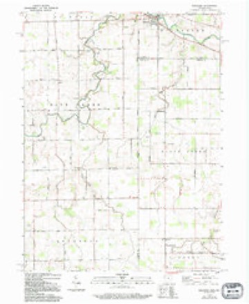
13 topographic sheets cover this place, the earliest surveyed in 1911 and the latest in 1986. It stands in Liberty Township. It lies in ZIP code area 45882. The Survey maps it on the Willshire quadrangle.
Then and now
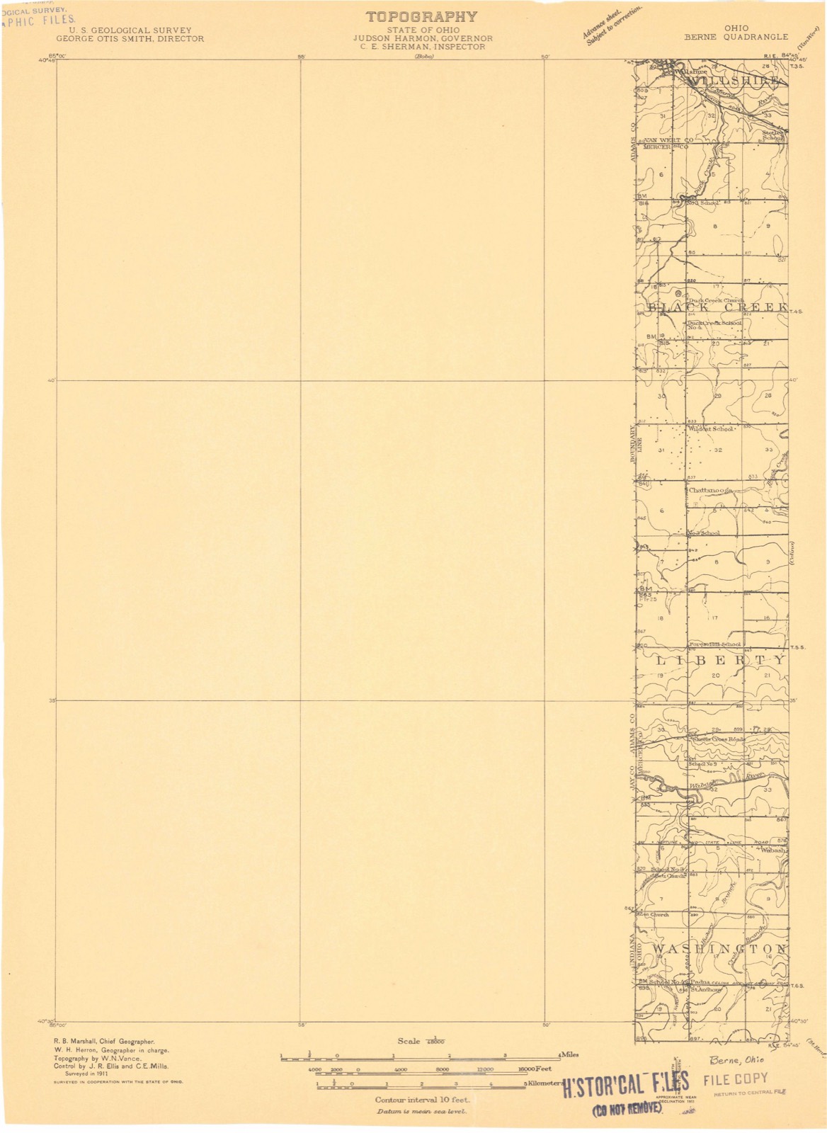
1911 to 1986The same ground, surveyed 75 years apart. Drag the handle to wipe between them. Both sheets are United States Geological Survey originals; neither has been altered.

Topographic sheets covering this place
13 sheetsMatched by testing this settlement's coordinate against the published boundary of every sheet in the United States Geological Survey's historical collection. Each opens the scanned sheet at the Survey.
- 1911 USGS Berne quadrangle1:48000
- 1953 USGS Muncie quadrangle1:250000
- 1953 USGS Muncie quadrangle1:250000
- 1953 USGS Muncie quadrangle1:250000
- 1953 USGS Muncie quadrangle1:250000
- 1953 USGS Muncie quadrangle1:250000
- 1956 USGS Muncie quadrangle1:250000
- 1960 USGS Willshire quadrangle1:24000
- 1960 USGS Willshire quadrangle1:24000
- 1960 USGS Willshire quadrangle1:24000
- 1986 USGS Lima quadrangle1:100000
- 1986 USGS Lima quadrangle1:100000
- 1986 USGS Lima quadrangle1:100000









In the county-history sources
858 words on this townshipThe county-history sources names this settlement in its chapter on Liberty Township. These are the passages that mention it, exactly as the scans read.
Machine-read from a century-old scan, so expect the errors a machine makes: misspelled names, dropped words, stray characters.
Read the whole chapter on Liberty Township - it names this place 1 more 1 time.
Specimens collected near this place
12 of 86 shownRegional context, not property-specific evidence. Museums hold 86 specimens collected within 10 miles of Chattanooga between 1840 and 1967: 84 Animalia, 2 Plantae. 12 distinct Species records are shown. Collected by C. Clark, C. Clark & R. Rhoades, Clark, C. F. (Clarence F.) and others. Each is a physical object with a catalogue number, and each entry opens the museum's record. This is what was collected and kept, not a survey of what lives here - nothing can be concluded from a species being absent.
| Image | Species | Year | Collected by | Where, as recorded |
|---|---|---|---|---|
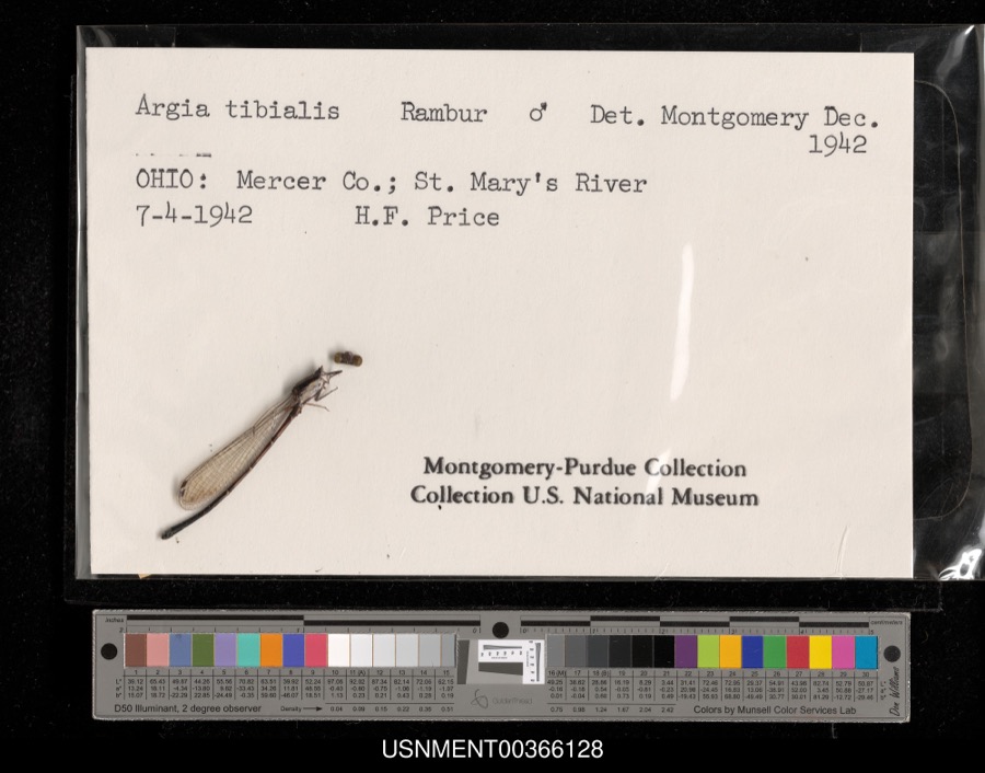 | Argia tibialis (Rambur, 1842) | 1942 | H. Price | St. Mary's River |
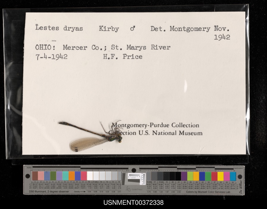 | Lestes dryas Kirby, 1890 | 1942 | H. Price | St. Mary's River |
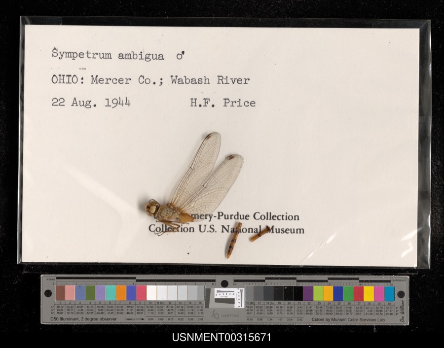 | Sympetrum ambiguum (Rambur, 1842) | 1944 | H. Price | Wabash River |
 | Silene virginica L. | 1840 | J. Wolle, D. Blum | |
 | Aphredoderus sayanus (Gilliams, 1824) | 1893 | P. Kirsch | St. Marys River, Rockford, Ohio |
 | Perlesta lagoi Stark, 1989 | 1918 | not recorded | |
_BHL4428170.jpg) | Ceuthophilus uhleri Scudder, 1862 | 1921 | Hubbell, T. H. | Mercer Co., OH |
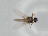 | Atrichopogon levis (Coquillett, 1901) | 1926 | not recorded | Fort Laramie |
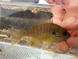 | Lepomis megalotis (Rafinesque, 1820) | 1928 | Trautman, M. B. (Milton Bernard) & Foster, R. (Robert) | Wabash River, within Mercer Co, Mercer County, township n/a |
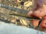 | Labidesthes sicculus (Cope, 1865) | 1929 | Trautman, M. B. (Milton Bernard) | Wabash River, at OH/Inorth state line in Liberty township, 3.8 mi W of Wabash, Liberty township |
 | Lepomis humilis (Girard, 1858) | 1929 | Trautman, M. B. (Milton Bernard) | Wabash River, at OH/Inorth state line in Liberty township, 3.8 mi W of Wabash, Liberty township |
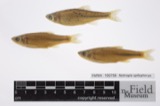 | Notropis spilopterus (Cope, 1867) | 1929 | Trautman, M. B. (Milton Bernard) | Wabash River, at OH/Inorth state line in Liberty township, 3.8 mi W of Wabash, Liberty township |
All 86 specimens within 10 miles, at the Global Biodiversity Information Facility.
Storms near this place
19 since 2006Regional context, not property-specific evidence. The National Weather Service names Chattanooga in 19 storm reports between 2006 and 2024: 7 thunderstorm wind, 6 flood, 3 hail, 2 tornado. No death or injury is recorded in these reports. Each account below is quoted exactly as the forecast office filed it, from the NOAA Storm Events Database, and each date opens the federal record of that event.
| When | Event | Place named | Harm | What the report says |
|---|---|---|---|---|
| April 2011 | Thunderstorm Wind | Chattanooga | $90,000 | A silo was destroyed and farm equipment was damaged due to damaging thunderstorm winds. In addition, a house had siding and roof damage. Trees were also reported down around the area. A barn was destroyed and a large storage shed was damaged due to the winds. |
| August 2012 | Thunderstorm Wind | Chattanooga | $40,000 | Two barns were destroyed due to damaging thunderstorm winds. |
| June 2006 | Thunderstorm Wind | Chattanooga | $15,000 | Two machine sheds were heavily damaged, and several barns sustained roof damage. A few large trees were also downed. |
| July 2017 | Tornado (EF0) | Chattanooga | $10,000 | The tornado touched down near Winkler Road just west of State Route 49. As the tornado moved east, damage was observed at a residence on the southwest corner of Winkler Road and Short Road. The tornado damaged the roof of a home and several nearby trees were also damaged.||As the tornado continued east, it caused damage to the roof of a house west of Wabash Road, along with damage to trees on the property.||The tornado moved east-southeast across Hill Road, crossing Winkler Road and damaging crops and trees along its path. Rotational scarring was noted in the corn fields adjacent to Winkler Road and Jordan Road.||The tornado crossed Jordan Road, moving east-southeast to near the intersection of Lee Road and Erastus-Durbin Road. At a property on the southeast corner of this intersection, one outbuilding was destroyed, with its debris scattered into the field to the east.||The tornado damaged another area of trees along Township Line Road and then continued east-southeast into open fields north of Rockford West Road before it dissipated. |
| July 2023 | Thunderstorm Wind | Chattanooga | $3,000 | A few trees were downed. |
| June 2008 | Thunderstorm Wind | Chattanooga | $3,000 | Trees and power poles were blown down. |
| April 2023 | Thunderstorm Wind | Chattanooga | $2,000 | A small shed was blown across Oregon Road near the state line. |
| March 2024 | Hail | Chattanooga | $1,000 | Hail caused minor damage to some homes. |
| March 2022 | Thunderstorm Wind | Chattanooga | $1,000 | A tree was downed into the intersection of Grauberger and Rockford West Roads. |
| January 2013 | Flood | Chattanooga | $1,000 | High water was reported throughout the northwest portion of Mercer county due to heavy rainfall. |
| May 2024 | Tornado (EFU) | Chattanooga | - | A weak landspout tornado was observed moving north in a field east of Burrville Road. The tornado caused no known damage. |
| May 2017 | Flash Flood | Chattanooga | - | State Route 707 near Wabash Road was closed due to high water, leading to a water rescue. |
| June 2015 | Flood | Chattanooga | - | Roads closed due to flooding at the intersection of Highway 49 and Wilson Road. |
| June 2015 | Flood | Chattanooga | - | Ohio State Route 49 was closed near Wilson Road due to high water. |
| June 2015 | Flood | Chattanooga | - | Ohio State Route 49 was closed between Wilson Road and Sipe Road. |
| June 2015 | Flood | Chattanooga | - | Wabash Road was closed between Rockford West Road and Winkler Road due to flooding. |
| December 2013 | Flood | Chattanooga | - | Several roads across the county remained closed due to high water caused by earlier heavy rainfall. |
| March 2024 | Hail | Chattanooga | - | no account filed |
| April 2020 | Hail | Chattanooga | - | no account filed |
Nearest settlements
The eight closest, with where each one stands in the county. Distances are straight-line, computed from the Geographic Names Information System coordinates.
| Map | Place | Distance | Sheets |
|---|---|---|---|
| Brehm (historical) | 2.3 miles | 13 | |
| Bursville | 3.1 miles | 12 | |
| Skeels Crossroads | 4.4 miles | 13 | |
| Hinton | 4.4 miles | 13 | |
| Scudder | 4.8 miles | 13 | |
| Striptown (historical) | 6.0 miles | 13 | |
| Wabash | 6.6 miles | 13 | |
| Durbin | 6.7 miles | 13 |
Provenance
This settlement is recorded in the Geographic Names Information System as feature 1039008. The sheet list is computed by point-in-boundary test against the United States Geological Survey's historical topographic inventory. Both are works of the United States government and carry no copyright under 17 U.S.C. 105.
Specimens. Global Biodiversity Information Facility (GBIF), https://www.gbif.org/. Only records licensed CC0 or CC BY are used. Records licensed CC BY-NC are excluded because this site carries advertising. Images are checked individually and any whose licence is non-commercial, no-derivatives or unreadable is refused.
Storms. NOAA National Centers for Environmental Information, Storm Events Database https://www.ncei.noaa.gov/stormevents/ A work of the United States government, no copyright under 17 U.S.C. 105. Narratives are quoted verbatim from the National Weather Service report and are not edited or summarised.