 Block
Block
Cherry Fork, Ohio
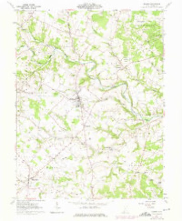
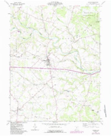
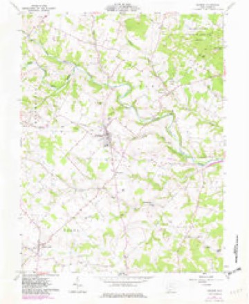
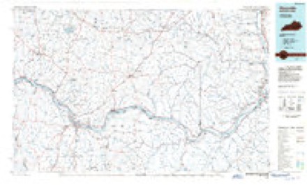
11 topographic sheets cover this place, the earliest surveyed in 1918 and the latest in 1991. It stands in Wayne Township. It lies in ZIP code area 45697. The Survey maps it on the Seaman quadrangle. 170 people lived here at the 2020 count. It stands 899 feet above sea level.
Population over time
2 figuresCherry Fork grew from 155 to 170 between 2010 and 2020. These are the recorded population figures Wikidata holds for this place, reached through the Geographic Names Information System number this page is keyed on rather than by name, so they belong to this place and not to another of the same name. Most are census counts, but not all are: an early figure may be a founding or settlement estimate. The change column is computed, and is left blank where more than 20 years separate a figure from the one before it, because a gap that long is not a change between two counts.
| Year | People | Change |
|---|---|---|
| 2010 | 155 | |
| 2020 | 170 | +15 (+10%) |
Then and now
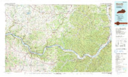
1918 to 1991The same ground, surveyed 73 years apart. Drag the handle to wipe between them. Both sheets are United States Geological Survey originals; neither has been altered.
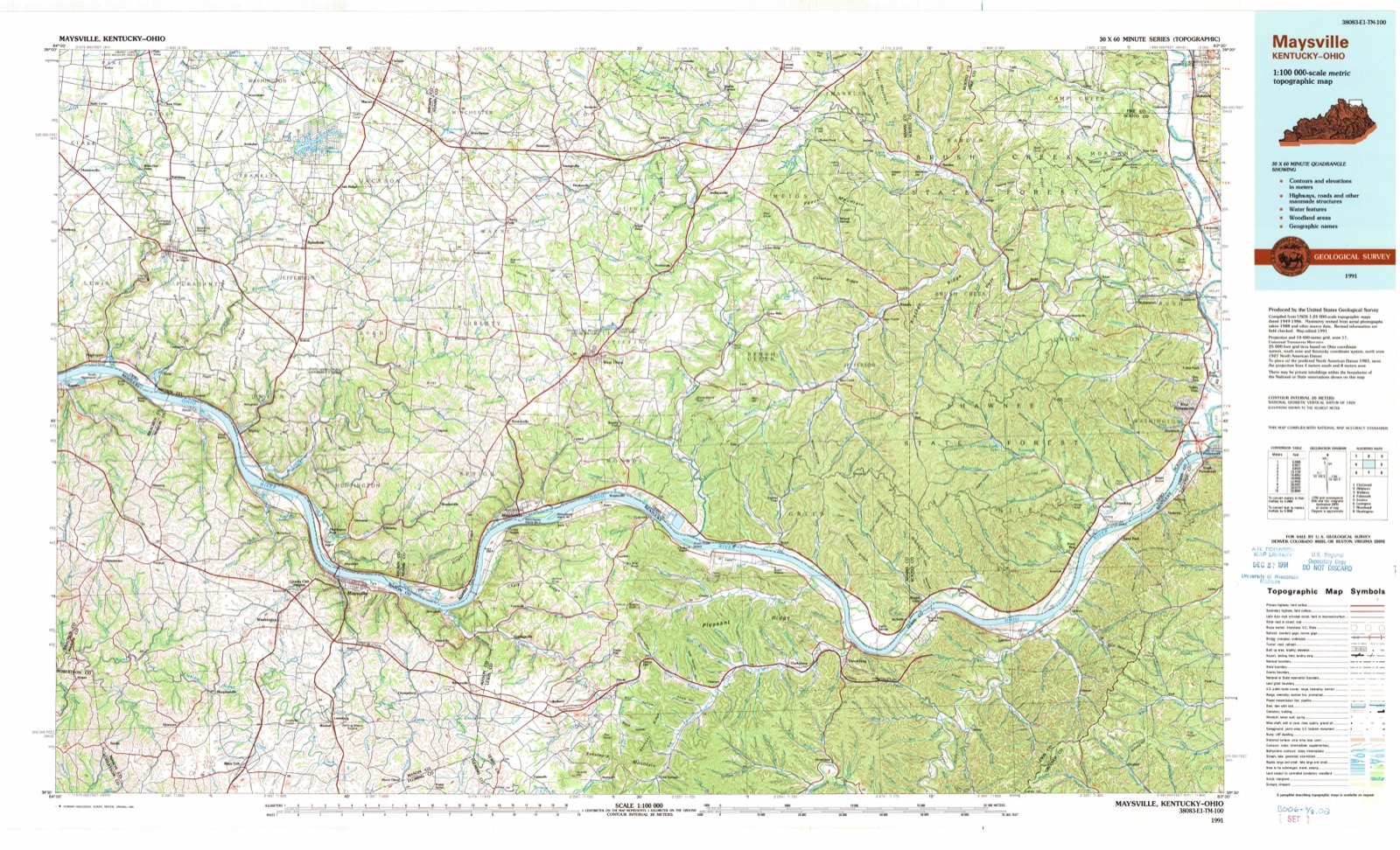
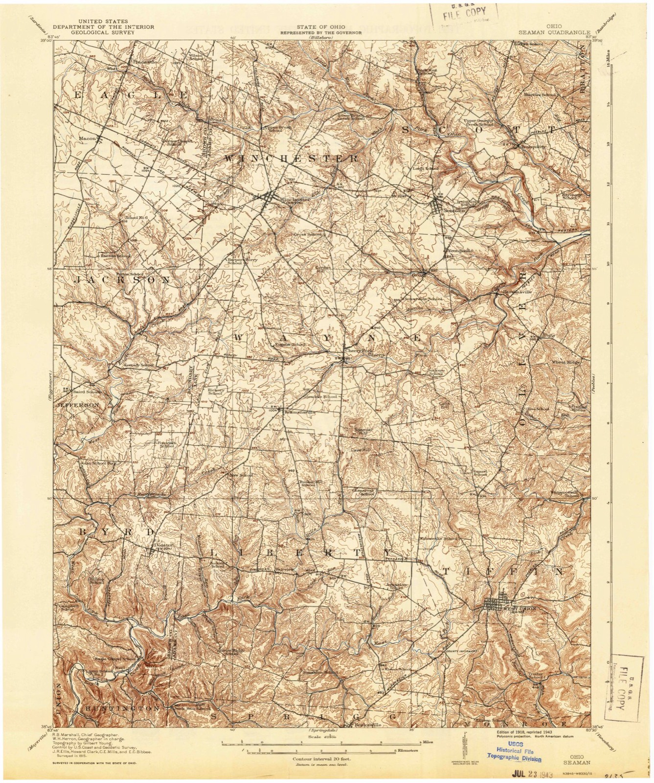
Topographic sheets covering this place
11 sheetsMatched by testing this settlement's coordinate against the published boundary of every sheet in the United States Geological Survey's historical collection. Each opens the scanned sheet at the Survey.
- 1918 USGS Seaman quadrangle1:62500
- 1957 USGS Huntington quadrangle1:250000
- 1957 USGS Huntington quadrangle1:250000
- 1957 USGS Huntington quadrangle1:250000
- 1960 USGS Huntington quadrangle1:250000
- 1961 USGS Seaman quadrangle1:24000
- 1961 USGS Seaman quadrangle1:24000
- 1961 USGS Seaman quadrangle1:24000
- 1961 USGS Seaman quadrangle1:24000
- 1986 USGS Maysville quadrangle1:100000
- 1991 USGS Maysville quadrangle1:100000
In the county-history sources
8,860 words on this townshipCaldwell's Illustrated Historical Atlas of Adams County, Ohio. 1797-1880, published 1880 names this settlement in its chapter on Wayne Township. These are the passages that mention it, exactly as the scans read.
Robbery (p. -Ill, Sec. 20.) besides lines and imprisonment was punished' with not exceeding fifty-nine stripes on Lie naked back, for (he first, and not. exceeding a hundred stripes for tlie second oilense. Horse-stealing (p. Ill, Sec. 22.) was punished not exceeding fifty-nine stripes for Hie first offense, and not exceeding one hundred stripes for the second.
Passage source: Caldwell's Illustrated Historical Atlas of Adams County, Ohio. 1797-1880, published 1880.
Wounding with intent lo murder (vol. 2, p. 755, See. 4.) to lie whipped mil exceeding fifty-nine stripes on his or her naked back, etc. For destroying fruit trees (p. 75fi, See. 7.) to lie whipped not exceeding fifty stripes on tlie naked back, (passed Jan. 22, 1811.)
Passage source: Caldwell's Illustrated Historical Atlas of Adams County, Ohio. 1797-1880, published 1880.
It was of course necessary, under these laws, for Adams county to have a whipping-post, lo execute tlie sentences of tlie courts. For that purpose they utilized a small poplar tree that stood near where the Christ inn Hit ion church is situated in West Union, in which a number of poor fellows have been tied and punished with ninny stripes upon their bare backs. Though tlio laws was inexorable, and made no distinction between mule and female transgressors, us will be seen, yet we find no record to show that any woman in Adams county over suffered tlio inflictions of its penalties at (lie whipping-post or pillory. It is probable that it was generally tlie lowest class of men that suffered those penalties, while its full power conies down on the poor negro like Hie -- hammer of Thud, " for we read on tho-coiirl records of Aug. 18, 1812, that George, a black man of Sprigg township, who had the day before been tried and found guilty of stealing a horse of Mr. M i t son, was brought into court to receive liis sentence, lie was sentenced by the Judge to pay a lino of 8500, amt to lio whipped at 5 o'clock Hint afternoon, with fifty stripes on liis naked back, lie was confined in jail for some timo afterwards, lint lioW long we do not know.
Passage source: Caldwell's Illustrated Historical Atlas of Adams County, Ohio. 1797-1880, published 1880.
Machine-read from a century-old scan, so expect the errors a machine makes: misspelled names, dropped words, stray characters.
Read the whole chapter on Wayne Township - it names this place 10 more 10 times.
Fires near this place
24 since 2004Regional context, not property-specific evidence. The federal wildfire occurrence database lists 24 fires within 5 miles of Cherry Fork between 2004 and 2020, burning about 48 acres in total. None started naturally. 1 was recorded as arson. Distance is straight-line from the map coordinates, so a fire counted here may appear on a neighbouring settlement's page as well.
| Reported cause | Fires |
|---|---|
| Debris and open burning | 16 |
| Equipment and vehicle use | 4 |
| Missing data/not specified/undetermined | 3 |
| Arson/incendiarism | 1 |
The most recent of them, most recent first, with the day each was reported and the service that recorded it.
| Date | Cause | Size | Reported by | Name on the report |
|---|---|---|---|---|
| 30 September 2017 | Equipment and vehicle use | 25 acres | Ohio Department of Natural Resources | 9909 |
| 21 August 2017 | Missing data/not specified/undetermined | under an acre | Ohio Department of Natural Resources | 9916 |
| 4 July 2012 | Debris and open burning | under an acre | Ohio Department of Natural Resources | not named |
| 8 April 2013 | Missing data/not specified/undetermined | under an acre | Ohio Department of Natural Resources | not named |
| 5 April 2020 | Debris and open burning | under an acre | Ohio Department of Natural Resources | 16059 |
| 4 April 2013 | Missing data/not specified/undetermined | under an acre | Ohio Department of Natural Resources | not named |
| 4 April 2013 | Debris and open burning | under an acre | Ohio Department of Natural Resources | not named |
| 19 April 2014 | Debris and open burning | 1.0 acres | Ohio Department of Natural Resources | not named |
Settlements close enough to share some of these fires:
Specimens collected near this place
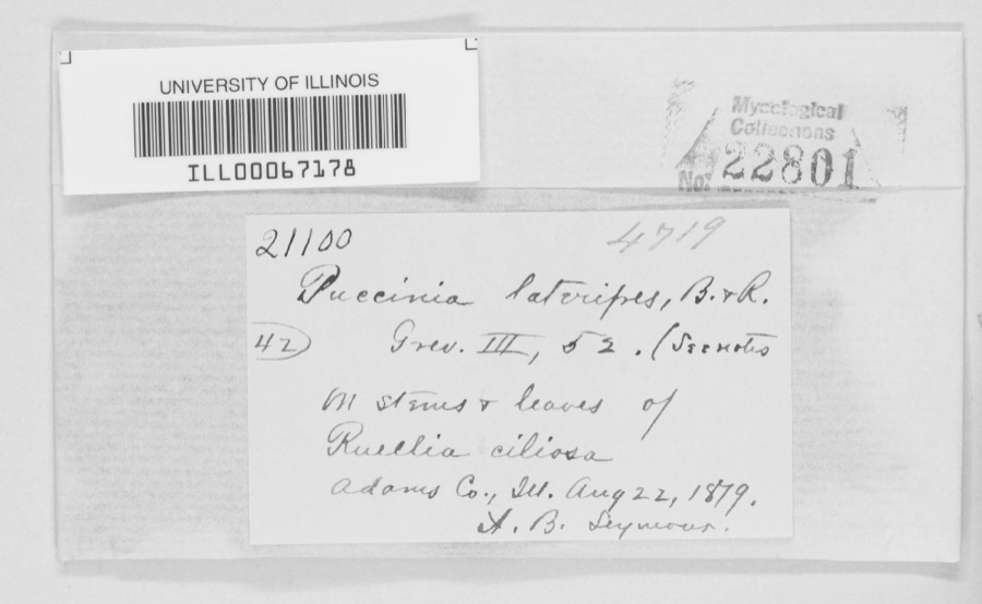
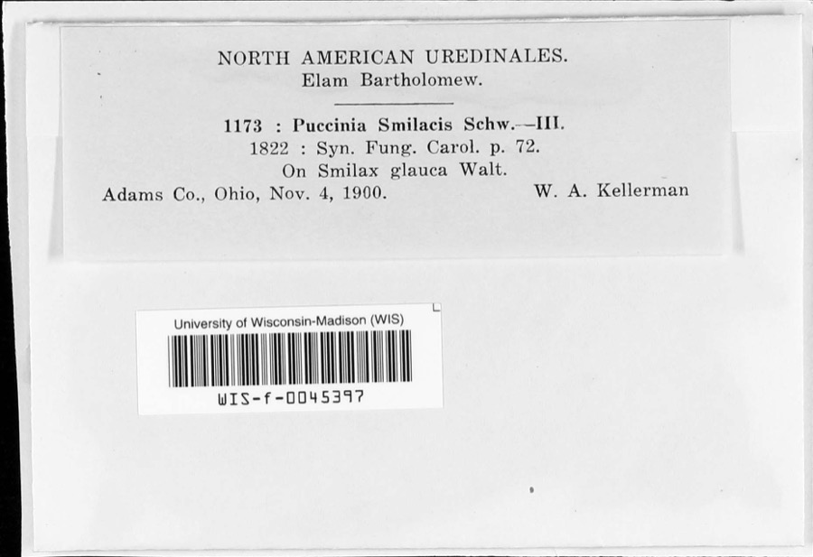
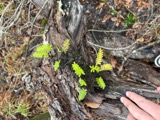
12 of 544 shownRegional context, not property-specific evidence. Museums hold 544 specimens collected within 10 miles of Cherry Fork between 1866 and 1975: 324 Animalia, 147 Fungi, 55 Plantae, 18 Protozoa. 12 distinct Species records are shown. Collected by A. B. Seymour, A. Cronquist, A. J. Sharp and others. Each is a physical object with a catalogue number, and each entry opens the museum's record. This is what was collected and kept, not a survey of what lives here - nothing can be concluded from a species being absent.
| Image | Species | Year | Collected by | Where, as recorded |
|---|---|---|---|---|
 | Puccinia lateripes Berk. & Ravenel | 1879 | A. B. Seymour | Adams County |
 | Puccinia smilacis Schwein. | 1900 | W.A. Kellerman | |
 | Asplenium ruta-muraria L. | 1866 | C. B. Dyer | |
 | Pleopeltis michauxiana (Weath.) Hickey & Sprunt | 1866 | C. B. Dyer | |
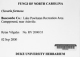 | Clavaria formosa Pers. | 1913 | Fulford, Margaret H. | Adams County, Ohio |
 | Craterellus Pers. | 1913 | Braun, E. Lucy | Adams County, Ohio |
 | Acroneuria frisoni Stark & Brown, 1991 | 1925 | Clarence H. Kennedy | |
| Scapania undulata (L.) Dumort. | 1925 | E. L. Braun | West tributary of Beech Fork | |
| Crotalus horridus horridus | 1926 | Watters, G. T. (George Thomas) | Green Twp.: Long Lick Run, Adams Co., Ohio | |
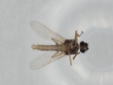 | Atrichopogon levis (Coquillett, 1901) | 1927 | not recorded | |
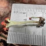 | Cladonia cristatella Tuck. | 1927 | Muegel, Harry R. | Adams County, Ohio |
| Cladonia fimbriata (L.) Fr. | 1927 | Muegel, Harry R. | Adams County, Ohio |
All 544 specimens within 10 miles, at the Global Biodiversity Information Facility.
Storms near this place
6 since 1997Regional context, not property-specific evidence. The National Weather Service names Cherry Fork in 6 storm reports between 1997 and 2021: 5 thunderstorm wind, 1 flood. No death or injury is recorded in these reports. Each account below is quoted exactly as the forecast office filed it, from the NOAA Storm Events Database, and each date opens the federal record of that event.
| When | Event | Place named | Harm | What the report says |
|---|---|---|---|---|
| February 2008 | Thunderstorm Wind | Cherry Fork | $50,000 | A roof was blown off of a gymnasium in the Cherry Fork area. Several barns and houses sustained damage. Numerous trees were downed throughout western Adams County. Damage was determined to be caused by straight-line winds estimated at 70 to 80 mph. |
| August 2012 | Thunderstorm Wind | Cherry Fork | $10,000 | Trees were downed on Cross and Coon Hill Roads and numerous other locations between Seaman and West Union due to thunderstorm winds. |
| May 1997 | Thunderstorm Wind | Cherry Fork | $5,000 | Numerous trees and power lines downed. Several roofs blown off. |
| June 2010 | Thunderstorm Wind | Cherry Fork | $1,000 | Large tree limbs were reported down due to damaging thunderstorm winds. |
| July 2021 | Flood | Cherry Fork | - | Standing water was reported over a road in Cherry Fork. |
| March 2011 | Thunderstorm Wind | Cherry Fork | - | no account filed |
Nearest settlements
The eight closest, with where each one stands in the county. Distances are straight-line, computed from the Geographic Names Information System coordinates.
| Map | Place | Distance | Sheets |
|---|---|---|---|
| Eckmansville | 2.1 miles | 9 | |
| Youngsville | 3.5 miles | 11 | |
| Harshasville | 4.0 miles | 11 | |
| Winchester | 4.2 miles | 10 | |
| Mount Zion (historical) | 4.2 miles | 11 | |
| Seaman | 4.4 miles | 11 | |
| Unity | 4.8 miles | 11 | |
| Irvington (historical) | 5.0 miles | 11 |
Elsewhere
Matched on this settlement's Geographic Names Information System number rather than its name, so it cannot be a different place of the same name in another state.
| Wikipedia article on Cherry Fork | An encyclopaedic summary. Its text is share-alike, so it is linked here rather than copied. |
| Wikidata item Q890616 | The structured record the population and elevation above come from. Public domain (CC0). |
Provenance
This settlement is recorded in the Geographic Names Information System as feature 1060952. The sheet list is computed by point-in-boundary test against the United States Geological Survey's historical topographic inventory. Both are works of the United States government and carry no copyright under 17 U.S.C. 105.
Wildfire. Short, Karen C. 2022. Spatial wildfire occurrence data for the United States, 1992-2020 [FPA_FOD_20221014]. 6th Edition. Fort Collins, CO: Forest Service Research Data Archive. https://doi.org/10.2737/RDS-2013-0009.6 Collected with United States Government funding and usable without additional permissions or fees.
Specimens. Global Biodiversity Information Facility (GBIF), https://www.gbif.org/. Only records licensed CC0 or CC BY are used. Records licensed CC BY-NC are excluded because this site carries advertising. Images are checked individually and any whose licence is non-commercial, no-derivatives or unreadable is refused.
Storms. NOAA National Centers for Environmental Information, Storm Events Database https://www.ncei.noaa.gov/stormevents/ A work of the United States government, no copyright under 17 U.S.C. 105. Narratives are quoted verbatim from the National Weather Service report and are not edited or summarised.