 Block
Block
Claridon, Ohio
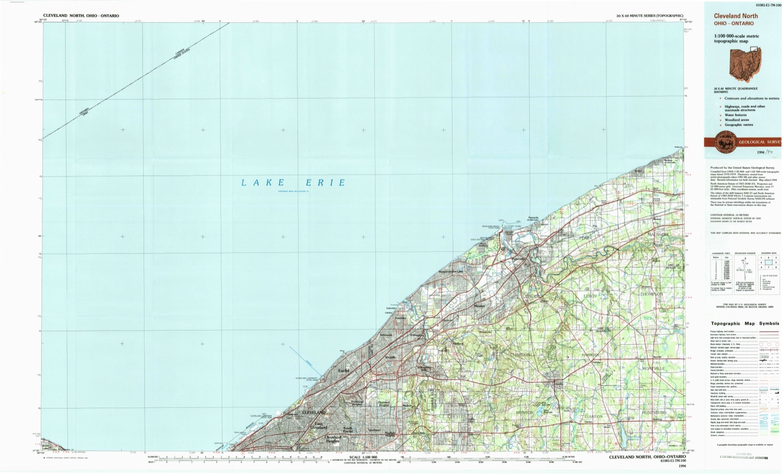
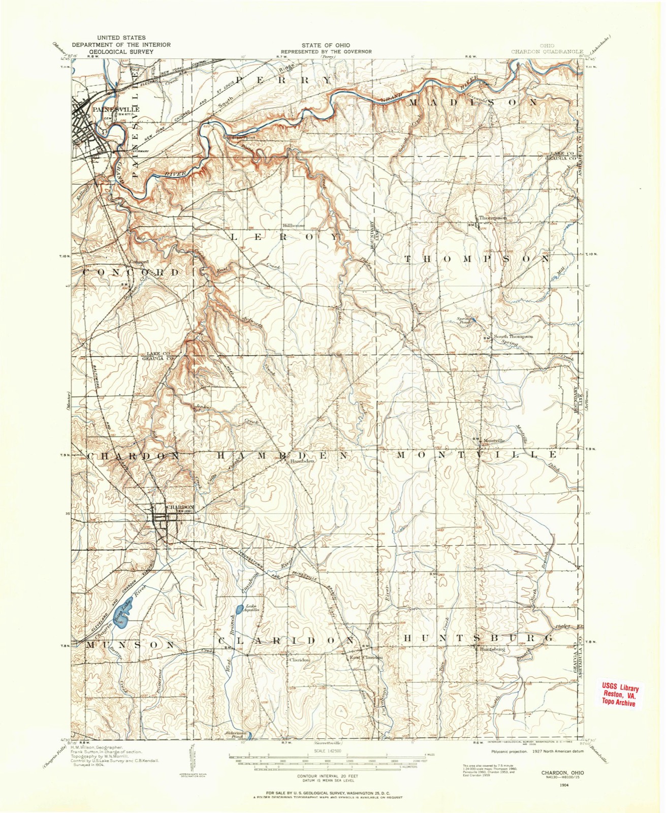
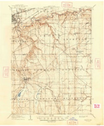
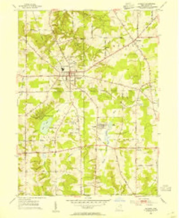
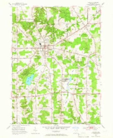
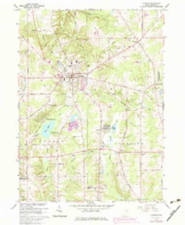
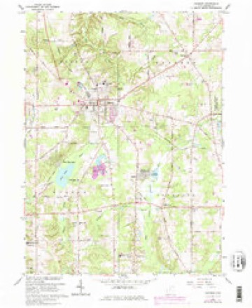
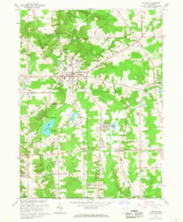
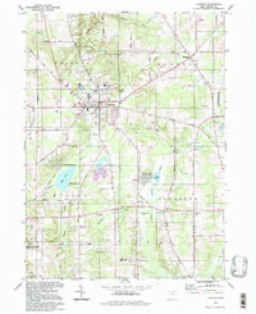
15 topographic sheets cover this place, the earliest surveyed in 1904 and the latest in 1994. It stands in Claridon Township. It lies in ZIP code area 44024. The Survey maps it on the Chardon quadrangle. It stands 3,842 feet above sea level.
Then and now
1904 to 1994The same ground, surveyed 90 years apart. Drag the handle to wipe between them. Both sheets are United States Geological Survey originals; neither has been altered.
Topographic sheets covering this place
15 sheetsMatched by testing this settlement's coordinate against the published boundary of every sheet in the United States Geological Survey's historical collection. Each opens the scanned sheet at the Survey.
- 1904 USGS Chardon quadrangle1:62500
- 1906 USGS Chardon quadrangle1:62500
- 1906 USGS Chardon quadrangle1:62500
- 1953 USGS Chardon quadrangle1:24000
- 1953 USGS Chardon quadrangle1:24000
- 1956 USGS Cleveland quadrangle1:250000
- 1956 USGS Cleveland quadrangle1:250000
- 1956 USGS Cleveland quadrangle1:250000
- 1962 USGS Cleveland quadrangle1:250000
- 1966 USGS Chardon quadrangle1:24000
- 1966 USGS Chardon quadrangle1:24000
- 1966 USGS Chardon quadrangle1:24000
- 1985 USGS Cleveland North quadrangle1:100000
- 1994 USGS Chardon quadrangle1:24000
- 1994 USGS Cleveland North quadrangle1:100000




What happened here
An account from the chapter on Claridon township, The inset identifies its exact source book and publication year.
Hunting
Until most of the wild animals were killed or driven away, the men and boys had generally a good rifle, and knew how to use them in killing small game, such as squirrels, partridges, and turkeys. To mutilate their bodies subjected such hunters to ridicule as being "greenhorns." The bullets of experts took effect only on the head of their game.
In the county-history sources
24,759 words on this townshipPioneer and General History of Geauga County, with Sketches of Some of the Pioneers and Prominent Men, published 1880 names this settlement in its chapter on Claridon Township. These are the passages that mention it, exactly as the scans read.
The author of this history has lived on his farm in Claridon for sixty years, ever since Ohio became his adopted State, and being now eighty years of age, having gratuitously devoted much time in collecting materials for this history, and visited every family in the township that has resided in it long enough to become acquainted with its history, and knowing how every year increases the difficulty of reconciling different versions relating to past events, or obtaining correct dates; as his contemporaries in the trials, labors, and embarrassments attending a new settlement, partakers of each others joys and sorrows, of prosperity and adversity, health and sickness, are "sleeping that death that knows no waking," is solicitous to have the past history of the township published (imperfect as it is), before one of the last links in the chain of events connecting the past with the future - the dead with the living - shall be sundered; therefore, the author dedicates this township history to the present and future generations, in the hope that it may awaken a living and continuous sense of gratitude to the memories of those who came here to obtain homes for themselves and families, and that their children might inherit cultivated fields which they had redeemed from the primeval forest; buildings which they had erected; fruits which they had cultivated; flocks and herds which they had reared; enjoy the institutions, moral, social, educational, and religious, which they had created and cultured by self-sacrificing efforts, that posterity might know how to "honor those to whom honor is due," and with an appreciative spirit labor to sustain and perpetuate all such associations as shall, by the blessing of Almighty God, prove a rich inheritance to all future generations.
Passage source: Pioneer and General History of Geauga County, with Sketches of Some of the Pioneers and Prominent Men, published 1880.
A glance at any accurate map will show the inaccuracy of the range lines between numbers six and seven, the eastern range line verging nearer as it runs north to its parallel western line, leaving Claridon only about four and threefourth miles in width on the north line of the township.
Passage source: Pioneer and General History of Geauga County, with Sketches of Some of the Pioneers and Prominent Men, published 1880.
The dividing ridge of high land is north, so that the waters in this township flow in a southerly direction. The principal streams of water are the two branches of the Cuyahoga river; the eastern one rising in Montville running through near the eastern line, between Huntsburg and Claridon, showing its respects about equally to each township. The west branch rising in Hambden, enters the township, north of the center, flowing in a southwestern direction, about a mile and a half to Aquilla lake; from the outlet, its course is southerly through the township. The elevated ridge through the central part of the town, from north to south, is much higher than the tracts along the branches of the rivers ; the descent being gradual, about two and a half miles east, and an average of one and a half \yest. West of the western branch, the land rises gradually to Munson. So the land has sufficient inclination to carry off the water from the surface, and not steep enough to wash away much of the soil; whilst the numerous springs crop out the sides of these ridges, making, in their descent towards the main streams, small ravines, leaving the land somewhat rolling from north to south from one spring, run to another, whilst the general descent is in another direction, east and west. These springs of water are generally pure and cold, bursting out of the conglomerate sand rock, which underlies the whole surface, which crops out most notably at the head of, and along the ravines, where the water has cut down to the bed of rock in many places.
Passage source: Pioneer and General History of Geauga County, with Sketches of Some of the Pioneers and Prominent Men, published 1880.
Machine-read from a century-old scan, so expect the errors a machine makes: misspelled names, dropped words, stray characters.
Read the whole chapter on Claridon Township - it names this place 60 more 60 times.
Photographs
4 photographs,Taken for the Office of War Information and the Farm Security Administration, who photographed the country between 1935 and 1944. Works of United States government photographers, with no known restriction on use. Each opens its catalogue record.
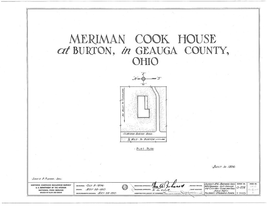
Unattributed, . Library of Congress
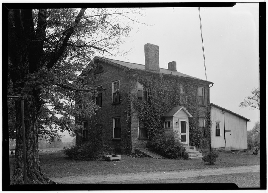
Unattributed, . Library of Congress
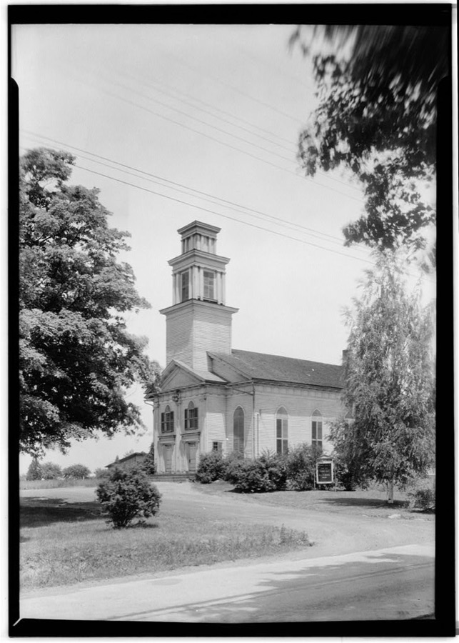
Unattributed, . Library of Congress
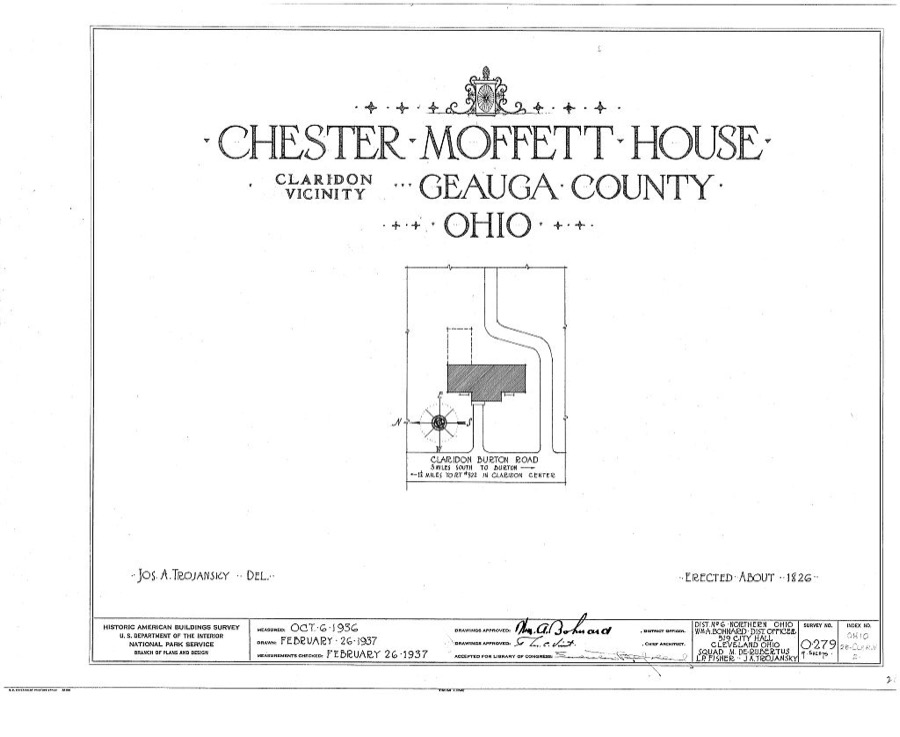
Unattributed, . Library of Congress
Specimens collected near this place
12 of 878 shownRegional context, not property-specific evidence. Museums hold 878 specimens collected within 10 miles of Claridon between 1887 and 1975: 760 Animalia, 111 Plantae, 7 Fungi. 12 distinct Species records are shown. Collected by A. M. Evans, A. N. Rood, A.E. Daugherty and others. Each is a physical object with a catalogue number, and each entry opens the museum's record. This is what was collected and kept, not a survey of what lives here - nothing can be concluded from a species being absent.
| Image | Species | Year | Collected by | Where, as recorded |
|---|---|---|---|---|
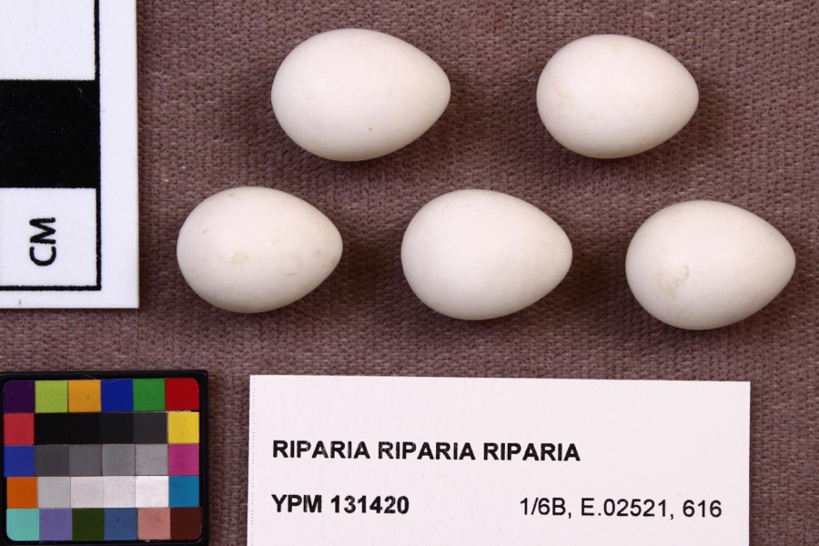 | Riparia riparia riparia (Linnaeus, 1758) | 1891 | Fred Haggart | |
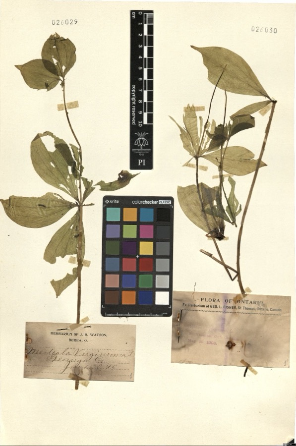 | Medeola virginiana L. | 1895 | Watson,J.R. s.n. [1895-06-30] | [label: Herbarium of J.R. Watson, Berea, O.] Geauga Co. [County] |
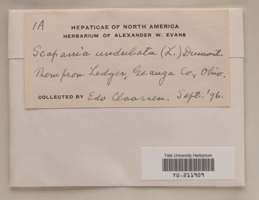 | Scapania undulata (L.) Dumort. | 1896 | Edo N. Claassen | Thompson Ledges |
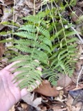 | Dryopteris marginalis (L.) A.Gray | 1887 | Leonard, F.E. | Munson |
 | Melospiza georgiana (Latham, 1790) | 1889 | Collector(s): F. S. Haggart | No specific locality recorded. |
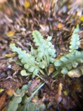 | Asplenium pinnatifidum Nutt. | 1890 | M. Rodman | Sugar Grove. |
 | Cypripedium reginae Walter | 1896 | J. R. Watson | Geauga |
 | Stachys cordata Riddell | 1896 | Guttenberg, G. | Burton |
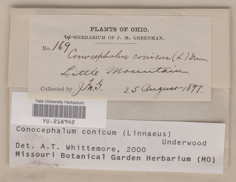 | Conocephalum conicum (L.) Underw. | 1897 | Jesse M. Greenman | Little Mountain |
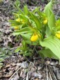 | Cypripedium parviflorum Salisb. | 1897 | J. R. Watson | Munson |
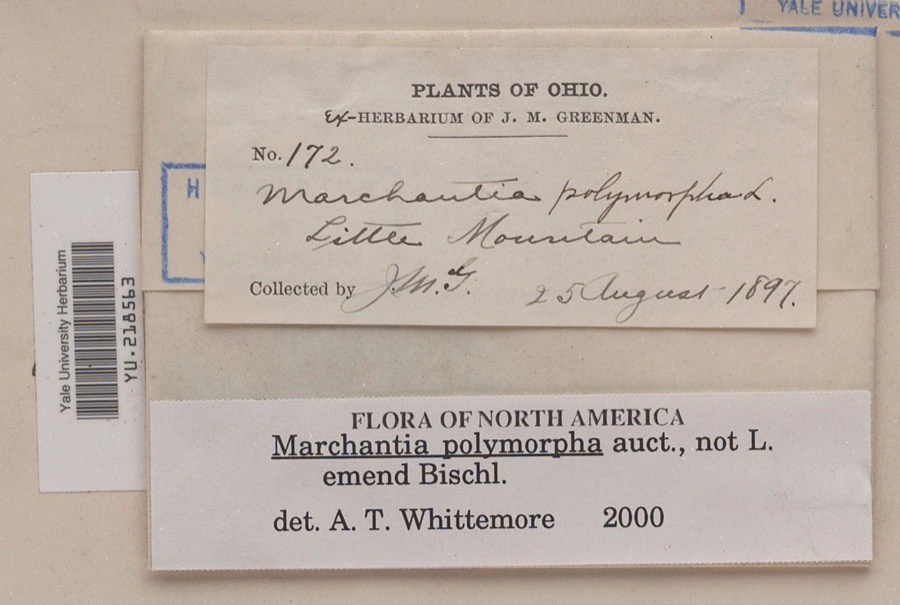 | Marchantia polymorpha L. | 1897 | Jesse M. Greenman | Little Mountain |
| Ranunculaceae | 1897 | Ashcroft, G.B. | Munson O. |
All 878 specimens within 10 miles, at the Global Biodiversity Information Facility.
Mines and quarries near this place
3 within 5 milesRegional context, not property-specific evidence. The federal mineral resources record lists 3 workings within 5 miles of Claridon: 1 past producer, 1 plant, 1 producer. 2 still produce. What was taken out: Stone, Crushed/Broken. Distance is straight-line from the map coordinates, so a quarry counted here may appear on a neighbouring settlement's page as well.
| Where | Site | Commodity | Status | Recorded |
|---|---|---|---|---|
| Best Sand Corporation | Stone, Crushed/Broken | Plant | ||
| Best Strip Quarry | Stone, Crushed/Broken | Past Producer | Sedimentary | |
| Hambden Quarry | Stone, Crushed/Broken | Producer |
Storms near this place
8 since 1997Regional context, not property-specific evidence. The National Weather Service names Claridon in 8 storm reports between 1997 and 2024: 7 thunderstorm wind, 1 hail. No death or injury is recorded in these reports. Each account below is quoted exactly as the forecast office filed it, from the NOAA Storm Events Database, and each date opens the federal record of that event.
| When | Event | Place named | Harm | What the report says |
|---|---|---|---|---|
| August 2024 | Thunderstorm Wind | Claridon | $30,000 | Roof ripped off barn along Claridon Troy Road in Claridon Township. |
| August 1997 | Thunderstorm Wind | Claridon | $5,000 | Trees were downed. |
| May 2001 | Thunderstorm Wind | Claridon | $2,000 | Thunderstorm winds downed two trees. |
| July 2006 | Thunderstorm Wind | Claridon | $1,000 | A tree and large limb were reported down. |
| August 2024 | Thunderstorm Wind | East Claridon | - | Trees downed at RV park along U.S. Route 322 in Huntsburg. Some trees fell onto camper vehicles, but extent of damage unknown. |
| November 2020 | Thunderstorm Wind | Claridon | - | Power pole snapped at 13635 Hall Road in Chardon. |
| July 2019 | Thunderstorm Wind | East Claridon | - | Several trees were blown down onto utility wires. |
| June 2011 | Hail | East Claridon | - | Penny sized hail was observed. |
Nearest settlements
The eight closest, with where each one stands in the county. Distances are straight-line, computed from the Geographic Names Information System coordinates.
| Map | Place | Distance | Sheets |
|---|---|---|---|
| East Claridon | 0.8 miles | 13 | |
| Center Road (historical) | 1.3 miles | 15 | |
| Aquilla | 2.7 miles | 15 | |
| Beardsley (historical) | 3.1 miles | 13 | |
| Burton Station | 3.7 miles | 13 | |
| Huntsburg | 4.1 miles | 13 | |
| East Bass Lake | 4.5 miles | 15 | |
| Barnes Corners | 4.6 miles | 13 |
Elsewhere
Matched on this settlement's Geographic Names Information System number rather than its name, so it cannot be a different place of the same name in another state.
| Wikipedia article on Claridon | An encyclopaedic summary. Its text is share-alike, so it is linked here rather than copied. |
| Wikidata item Q14716391 | The structured record the population and elevation above come from. Public domain (CC0). |
Provenance
This settlement is recorded in the Geographic Names Information System as feature 1060973. The sheet list is computed by point-in-boundary test against the United States Geological Survey's historical topographic inventory. Both are works of the United States government and carry no copyright under 17 U.S.C. 105.
Specimens. Global Biodiversity Information Facility (GBIF), https://www.gbif.org/. Only records licensed CC0 or CC BY are used. Records licensed CC BY-NC are excluded because this site carries advertising. Images are checked individually and any whose licence is non-commercial, no-derivatives or unreadable is refused.
Mines and quarries. USGS Mineral Resources Data System (MRDS) https://mrdata.usgs.gov/mrds/ A work of the United States government, no copyright under 17 U.S.C. 105.
Storms. NOAA National Centers for Environmental Information, Storm Events Database https://www.ncei.noaa.gov/stormevents/ A work of the United States government, no copyright under 17 U.S.C. 105. Narratives are quoted verbatim from the National Weather Service report and are not edited or summarised.