 Block
Block
East Claridon, Ohio
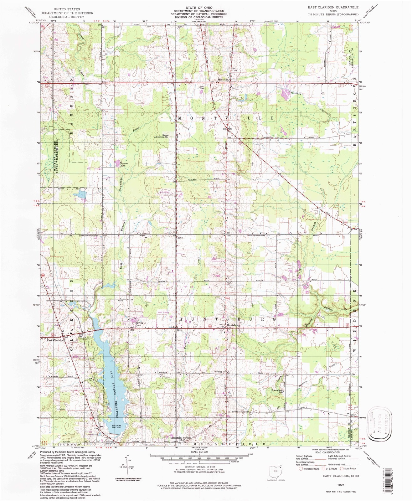
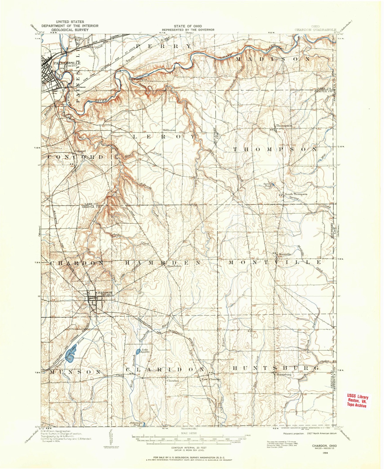
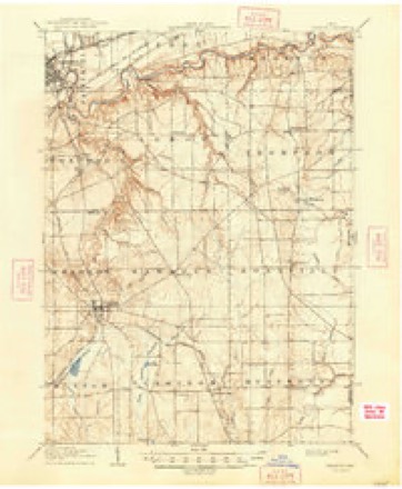
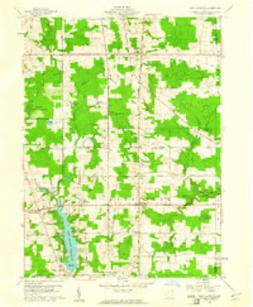
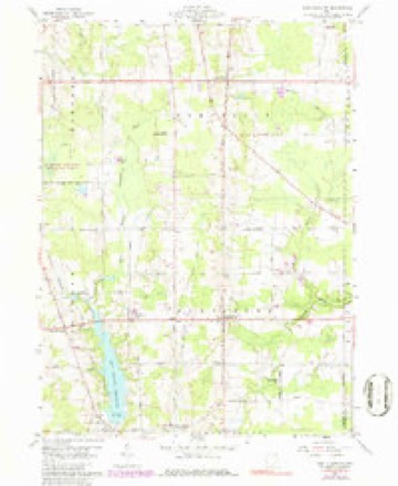
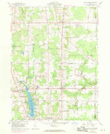
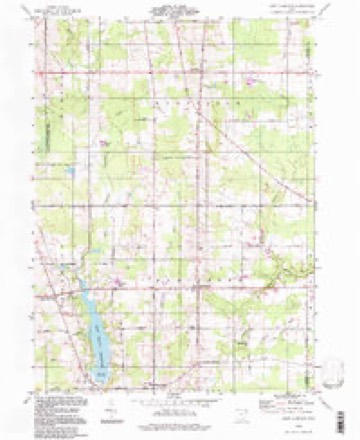
13 topographic sheets cover this place, the earliest surveyed in 1904 and the latest in 1994. It stands in Claridon Township. It lies in ZIP code area 44046. The Survey maps it on the East Claridon quadrangle.
Then and now
1904 to 1994The same ground, surveyed 90 years apart. Drag the handle to wipe between them. Both sheets are United States Geological Survey originals; neither has been altered.
Compare 1904 against another survey:
Topographic sheets covering this place
13 sheetsMatched by testing this settlement's coordinate against the published boundary of every sheet in the United States Geological Survey's historical collection. Each opens the scanned sheet at the Survey.
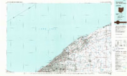
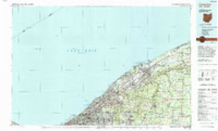
- 1904 USGS Chardon quadrangle1:62500
- 1906 USGS Chardon quadrangle1:62500
- 1906 USGS Chardon quadrangle1:62500
- 1956 USGS Cleveland quadrangle1:250000
- 1956 USGS Cleveland quadrangle1:250000
- 1956 USGS Cleveland quadrangle1:250000
- 1959 USGS East Claridon quadrangle1:24000
- 1959 USGS East Claridon quadrangle1:24000
- 1959 USGS East Claridon quadrangle1:24000
- 1962 USGS Cleveland quadrangle1:250000
- 1985 USGS Cleveland North quadrangle1:100000
- 1994 USGS Cleveland North quadrangle1:100000
- 1994 USGS East Claridon quadrangle1:24000




What happened here
An account from the chapter on Claridon township, The inset identifies its exact source book and publication year.
Hunting
Until most of the wild animals were killed or driven away, the men and boys had generally a good rifle, and knew how to use them in killing small game, such as squirrels, partridges, and turkeys. To mutilate their bodies subjected such hunters to ridicule as being "greenhorns." The bullets of experts took effect only on the head of their game.
In the county-history sources
24,759 words on this townshipPioneer and General History of Geauga County, with Sketches of Some of the Pioneers and Prominent Men, published 1880 names this settlement in its chapter on Claridon Township. These are the passages that mention it, exactly as the scans read.
Mr. Bushnell sold his farm to Oliver Merritt, from Connecticut, and took part of lot three, section ten, being more than a mile south of East Claridon. There he erected another dish-mill, cleared up his farm, erected good buildings, opened his house to the public as a tavern (there being at that time a great amount of travel), hauling wheat and flour to the lake from Trumbull and other counties south. He died in 1854. The Bushnell farm is now in possession of Almond Knapp, esq., one of the magistrates of this town.
Passage source: Pioneer and General History of Geauga County, with Sketches of Some of the Pioneers and Prominent Men, published 1880.
A school-district had been formed west of the Cuyahoga, one at Kellogg's comers, and one on the State road, now East Claridon. A log school-house was put up west of the river in 1812, and Ralph Cowles taught the first school
Passage source: Pioneer and General History of Geauga County, with Sketches of Some of the Pioneers and Prominent Men, published 1880.
Loami Fletcher,* formerly from Vermont, but directly from Massachusetts, moved into the woods, south, where a road was soon located. Mr. Fletcher had a large family. He was a descendant from the famous Methodist preacher of that name, and a pioneer of that primitive order. Mr. Fletcher was a pioneer of that sect on this steeet, and was a consistent member of the Methodist Episcopal church until his death. The farm is now owned by his son Cyrus, who married Miss Beach, of Hambden. They are pillars in the Methodist Episcopal church at East Claridon.
Passage source: Pioneer and General History of Geauga County, with Sketches of Some of the Pioneers and Prominent Men, published 1880.
Machine-read from a century-old scan, so expect the errors a machine makes: misspelled names, dropped words, stray characters.
Read the whole chapter on Claridon Township - it names this place 20 more 20 times.
Specimens collected near this place
12 of 750 shownRegional context, not property-specific evidence. Museums hold 750 specimens collected within 10 miles of East Claridon between 1887 and 1975: 639 Animalia, 104 Plantae, 7 Fungi. 12 distinct Species records are shown. Collected by A. M. Evans, A. N. Rood, A.E. Daugherty and others. Each is a physical object with a catalogue number, and each entry opens the museum's record. This is what was collected and kept, not a survey of what lives here - nothing can be concluded from a species being absent.
| Image | Species | Year | Collected by | Where, as recorded |
|---|---|---|---|---|
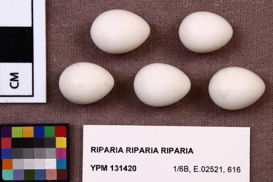 | Riparia riparia riparia (Linnaeus, 1758) | 1891 | Fred Haggart | |
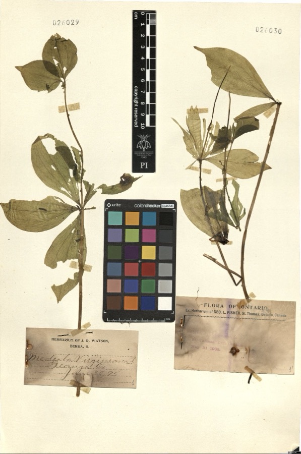 | Medeola virginiana L. | 1895 | Watson,J.R. s.n. [1895-06-30] | [label: Herbarium of J.R. Watson, Berea, O.] Geauga Co. [County] |
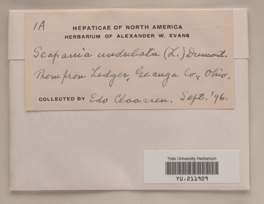 | Scapania undulata (L.) Dumort. | 1896 | Edo N. Claassen | Thompson Ledges |
 | Dryopteris marginalis (L.) A.Gray | 1887 | Leonard, F.E. | Munson |
 | Melospiza georgiana (Latham, 1790) | 1889 | Collector(s): F. S. Haggart | No specific locality recorded. |
 | Asplenium pinnatifidum Nutt. | 1890 | M. Rodman | Sugar Grove. |
 | Cypripedium reginae Walter | 1896 | J. R. Watson | Geauga |
 | Stachys cordata Riddell | 1896 | Guttenberg, G. | Burton |
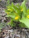 | Cypripedium parviflorum Salisb. | 1897 | J. R. Watson | Munson |
| Ranunculaceae | 1897 | Ashcroft, G.B. | Munson O. | |
 | Sarracenia purpurea L. | 1897 | J. R. Watson | Geauga |
 | Acronicta dactylina Grote, 1874 | 1908 | Teraguchi, S. (Sonja) | OH Geauga Co. Troy Twp. Snow Lake |
All 750 specimens within 10 miles, at the Global Biodiversity Information Facility.
Mines and quarries near this place
2 within 5 milesRegional context, not property-specific evidence. The federal mineral resources record lists 2 workings within 5 miles of East Claridon: 1 past producer, 1 plant. 1 still produces. What was taken out: Stone, Crushed/Broken. Distance is straight-line from the map coordinates, so a quarry counted here may appear on a neighbouring settlement's page as well.
| Where | Site | Commodity | Status | Recorded |
|---|---|---|---|---|
| Best Sand Corporation | Stone, Crushed/Broken | Plant | ||
| Best Strip Quarry | Stone, Crushed/Broken | Past Producer | Sedimentary |
Storms near this place
3 since 2011Regional context, not property-specific evidence. The National Weather Service names East Claridon in 3 storm reports between 2011 and 2024: 2 thunderstorm wind, 1 hail. No death or injury is recorded in these reports. Each account below is quoted exactly as the forecast office filed it, from the NOAA Storm Events Database, and each date opens the federal record of that event.
| When | Event | Place named | Harm | What the report says |
|---|---|---|---|---|
| August 2024 | Thunderstorm Wind | East Claridon | - | Trees downed at RV park along U.S. Route 322 in Huntsburg. Some trees fell onto camper vehicles, but extent of damage unknown. |
| July 2019 | Thunderstorm Wind | East Claridon | - | Several trees were blown down onto utility wires. |
| June 2011 | Hail | East Claridon | - | Penny sized hail was observed. |
Nearest settlements
The eight closest, with where each one stands in the county. Distances are straight-line, computed from the Geographic Names Information System coordinates.
| Map | Place | Distance | Sheets |
|---|---|---|---|
| Claridon | 0.8 miles | 15 | |
| Center Road (historical) | 1.9 miles | 15 | |
| Beardsley (historical) | 2.6 miles | 13 | |
| Burton Station | 3.1 miles | 13 | |
| Huntsburg | 3.4 miles | 13 | |
| Aquilla | 3.4 miles | 15 | |
| Barnes Corners | 3.7 miles | 13 | |
| Burton | 4.5 miles | 14 |
Elsewhere
Matched on this settlement's Geographic Names Information System number rather than its name, so it cannot be a different place of the same name in another state.
| Wikipedia article on East Claridon | An encyclopaedic summary. Its text is share-alike, so it is linked here rather than copied. |
| Wikidata item Q5328093 | The structured record the population and elevation above come from. Public domain (CC0). |
Provenance
This settlement is recorded in the Geographic Names Information System as feature 1064576. The sheet list is computed by point-in-boundary test against the United States Geological Survey's historical topographic inventory. Both are works of the United States government and carry no copyright under 17 U.S.C. 105.
Specimens. Global Biodiversity Information Facility (GBIF), https://www.gbif.org/. Only records licensed CC0 or CC BY are used. Records licensed CC BY-NC are excluded because this site carries advertising. Images are checked individually and any whose licence is non-commercial, no-derivatives or unreadable is refused.
Mines and quarries. USGS Mineral Resources Data System (MRDS) https://mrdata.usgs.gov/mrds/ A work of the United States government, no copyright under 17 U.S.C. 105.
Storms. NOAA National Centers for Environmental Information, Storm Events Database https://www.ncei.noaa.gov/stormevents/ A work of the United States government, no copyright under 17 U.S.C. 105. Narratives are quoted verbatim from the National Weather Service report and are not edited or summarised.