 Block
Block
Clayton, Ohio
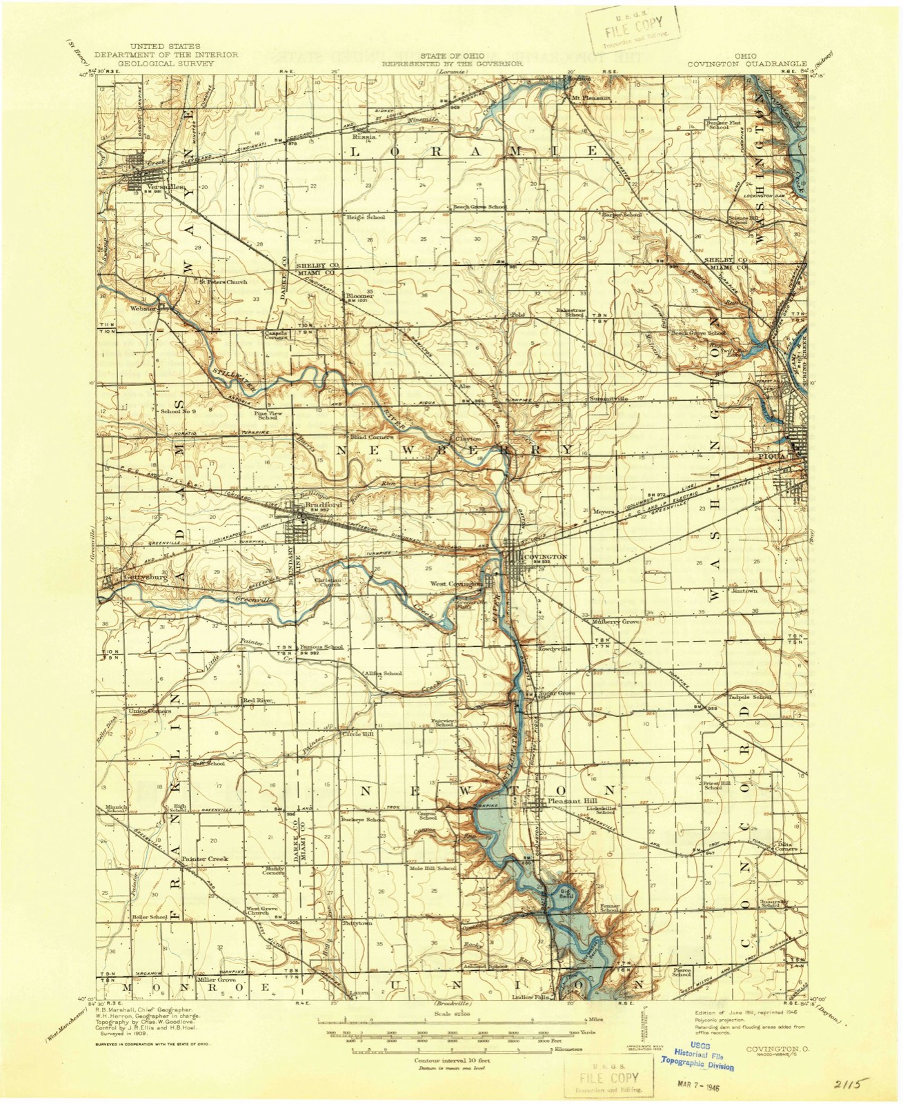
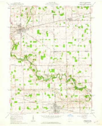
13 topographic sheets cover this place, the earliest surveyed in 1911 and the latest in 1986. It stands in Newberry Township. It lies in ZIP code area 45318. It stands on Trotters Creek. The Survey maps it on the Versailles quadrangle.
Then and now
1911 to 1986The same ground, surveyed 75 years apart. Drag the handle to wipe between them. Both sheets are United States Geological Survey originals; neither has been altered.

Topographic sheets covering this place
13 sheetsMatched by testing this settlement's coordinate against the published boundary of every sheet in the United States Geological Survey's historical collection. Each opens the scanned sheet at the Survey.
- 1911 USGS Covington quadrangle1:62500
- 1944 USGS Covington quadrangle1:62500
- 1953 USGS Muncie quadrangle1:250000
- 1953 USGS Muncie quadrangle1:250000
- 1953 USGS Muncie quadrangle1:250000
- 1953 USGS Muncie quadrangle1:250000
- 1953 USGS Muncie quadrangle1:250000
- 1956 USGS Muncie quadrangle1:250000
- 1961 USGS Versailles quadrangle1:24000
- 1961 USGS Versailles quadrangle1:24000
- 1986 USGS Piqua quadrangle1:100000
- 1986 USGS Piqua quadrangle1:100000
- 1986 USGS Piqua quadrangle1:100000









In the county-history sources
41,096 words on this townshipThe History of Miami County, Ohio : Containing a History of the County; Its Cities, Towns, Etc.; General and Local Statistics; Portraits of Early Settlers and Prominent Men; History of the Northwest Territory; History of Ohio; Map of Miami County; Constitution of the United States; Miscellaneous Matters, Etc., Etc, published 1880 names this settlement in its chapter on Newberry Township. These are the passages that mention it, exactly as the scans read.
Brumbaugh increased the capacity, which made it one of the best mills in the county, and of inestimable benefit to the ever-increasing population for many miles around, as it was located in the Upper Stillwater Valley, with no other for miles north of it. For years it stood without a rival. During Lehman's occupancy of this property, previous to this, a wool-carding machine had been erected on the tail-race of the mill, the remains of which may still be seen just below the corn-crib, at the present Covington Mills. It cannot be ascertained who were the first operators, but we do know that one Riley operated it at one time, and subsequently, in 1827, one Thomas Bolles, of Piqua, who added a fulling machine, which, in those days was highty essential, when the wheel and the loom, in the hands of the housewife, clothed the family in home-spun.
Some time previous to 181 6, the exact date we cannot ascertain, a road was established and, we presume, cut out through Newberry. The Piqua & Greenville was located, perhaps some years later, crossing the northern part of the township from east to west. The Troy & Greenville, crossing the town plat on Wright street, was still later. In 1826, however, these roads were not yet all opened through the forest ; now they are either all covered by free pikes or vacated in favor of pikes constructed on more eligible localities near by.
In 1836, a project was set on foot to connect Springfield with Greenville by constructing a pike between the two places, passing through Troy and Covington. A company was formed, stock taken, the State subscribing perhaps half. In 1837, the clearing and grubbing were commenced, and perhaps some grading in Newberry, which was the first actual work on turnpikes in the township.
Machine-read from a century-old scan, so expect the errors a machine makes: misspelled names, dropped words, stray characters.
Read the whole chapter on Newberry Township - it names this place 9 more 9 times.
Specimens collected near this place
12 of 264 shownRegional context, not property-specific evidence. Museums hold 264 specimens collected within 10 miles of Clayton between 1897 and 1967: 252 Animalia, 7 Plantae, 3 Fungi, 1 Unrecorded, 1 Chromista. 12 distinct Species records are shown. Collected by A. Gaufin, A. R. Gaufin, A.R. Gaufin and others. Each is a physical object with a catalogue number, and each entry opens the museum's record. This is what was collected and kept, not a survey of what lives here - nothing can be concluded from a species being absent.
| Image | Species | Year | Collected by | Where, as recorded |
|---|---|---|---|---|
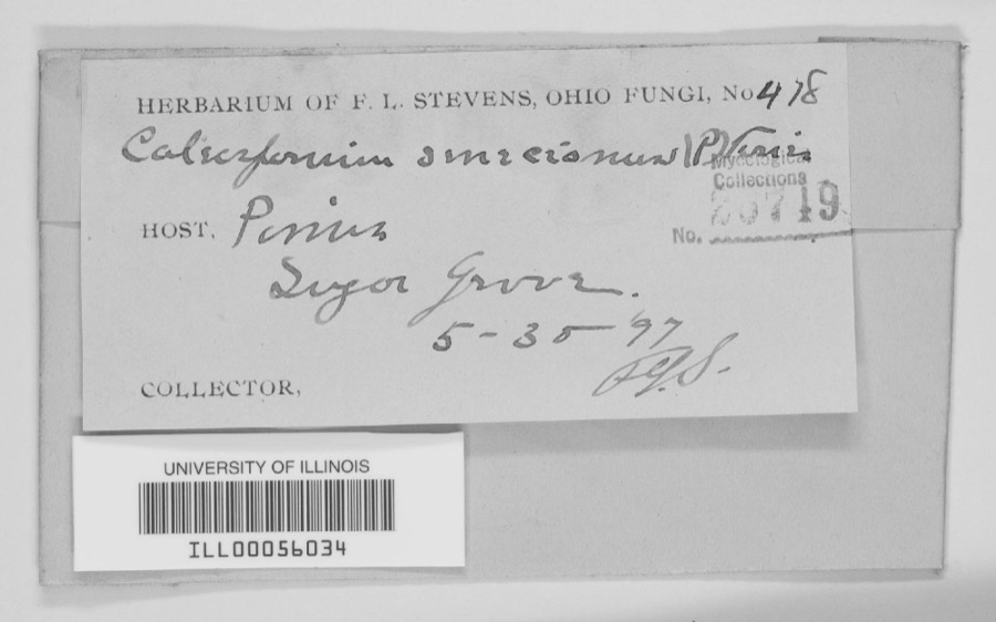 | unnamed | 1897 | F. L. Stevens | Sugar Grove. |
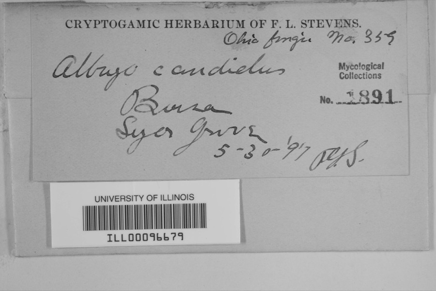 | Albugo candida (Pers. ex J.F.Gmel.) Roussel | 1897 | F.L. Stevens | Sugar Grove |
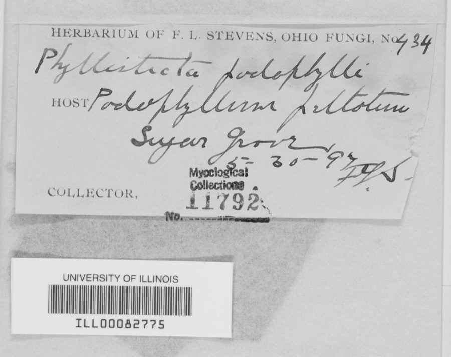 | Phyllosticta podophylli (M.A.Curtis) G.Winter | 1897 | F.L. Stevens | |
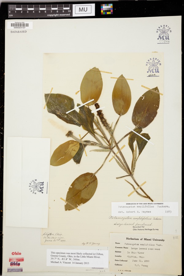 | Potamogeton amplifolius Tuck. | 1899 | Young, WU | |
 | Bothriocephalus claviceps (Goeze, 1782) Rudolphi, 1810 | 1926 | R. Bangham | Piqua |
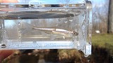 | Cyprinella spiloptera (Cope, 1867) | 1929 | MB Trautman | Stillwater River at Covington, Newberry Twp |
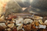 | Luxilus chrysocephalus Rafinesque, 1820 | 1929 | MB Trautman | Stillwater River at Covington, Newberry Twp |
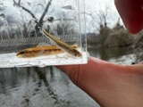 | Lythrurus ardens (Cope, 1868) | 1929 | MB Trautman | Stillwater River at Covington, Newberry Twp |
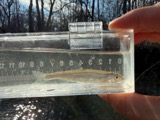 | Notropis photogenis (Cope, 1865) | 1929 | MB Trautman | Stillwater River at Covington, Newberry Twp |
 | Notropis rubellus (Agassiz, 1850) | 1929 | MB Trautman | Stillwater River at Covington, Newberry Twp |
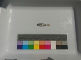 | Notropis volucellus volucellus | 1929 | MB Trautman | Stillwater River at Covington, Newberry Twp |
 | Ameiurus melas (Rafinesque, 1820) | 1930 | MB Trautman | Small tributary of the Stillwater River, northern Newberry Township |
All 264 specimens within 10 miles, at the Global Biodiversity Information Facility.
Mines and quarries near this place
3 within 5 milesRegional context, not property-specific evidence. The federal mineral resources record lists 3 workings within 5 miles of Clayton: 2 producers, 1 past producer. 2 still produce. What was taken out: Sand and Gravel, Construction, Stone, Crushed/Broken, Sand and Gravel, Construction. Distance is straight-line from the map coordinates, so a quarry counted here may appear on a neighbouring settlement's page as well.
| Where | Site | Commodity | Status | Recorded |
|---|---|---|---|---|
| Poeppelman Quarry | Stone, Crushed/Broken, Sand and Gravel, Construction | Producer | ||
| Wise Gravel Pit | Sand and Gravel, Construction | Past Producer | Sedimentary | |
| Wise Gravel Pit | Sand and Gravel, Construction | Producer |
Nearest settlements
The eight closest, with where each one stands in the county. Distances are straight-line, computed from the Geographic Names Information System coordinates.
| Map | Place | Distance | Sheets |
|---|---|---|---|
| Abe | 1.0 miles | 15 | |
| Polo | 2.4 miles | 15 | |
| Covington | 2.6 miles | 13 | |
| Summitville (historical) | 2.7 miles | 15 | |
| West Covington | 2.8 miles | 13 | |
| Bradford | 3.2 miles | 13 | |
| Bloomer | 3.2 miles | 13 | |
| Meyers (historical) | 3.4 miles | 15 |
Provenance
This settlement is recorded in the Geographic Names Information System as feature 1056812. The sheet list is computed by point-in-boundary test against the United States Geological Survey's historical topographic inventory. Both are works of the United States government and carry no copyright under 17 U.S.C. 105.
Specimens. Global Biodiversity Information Facility (GBIF), https://www.gbif.org/. Only records licensed CC0 or CC BY are used. Records licensed CC BY-NC are excluded because this site carries advertising. Images are checked individually and any whose licence is non-commercial, no-derivatives or unreadable is refused.
Mines and quarries. USGS Mineral Resources Data System (MRDS) https://mrdata.usgs.gov/mrds/ A work of the United States government, no copyright under 17 U.S.C. 105.