 Block
Block
Bradford, Ohio
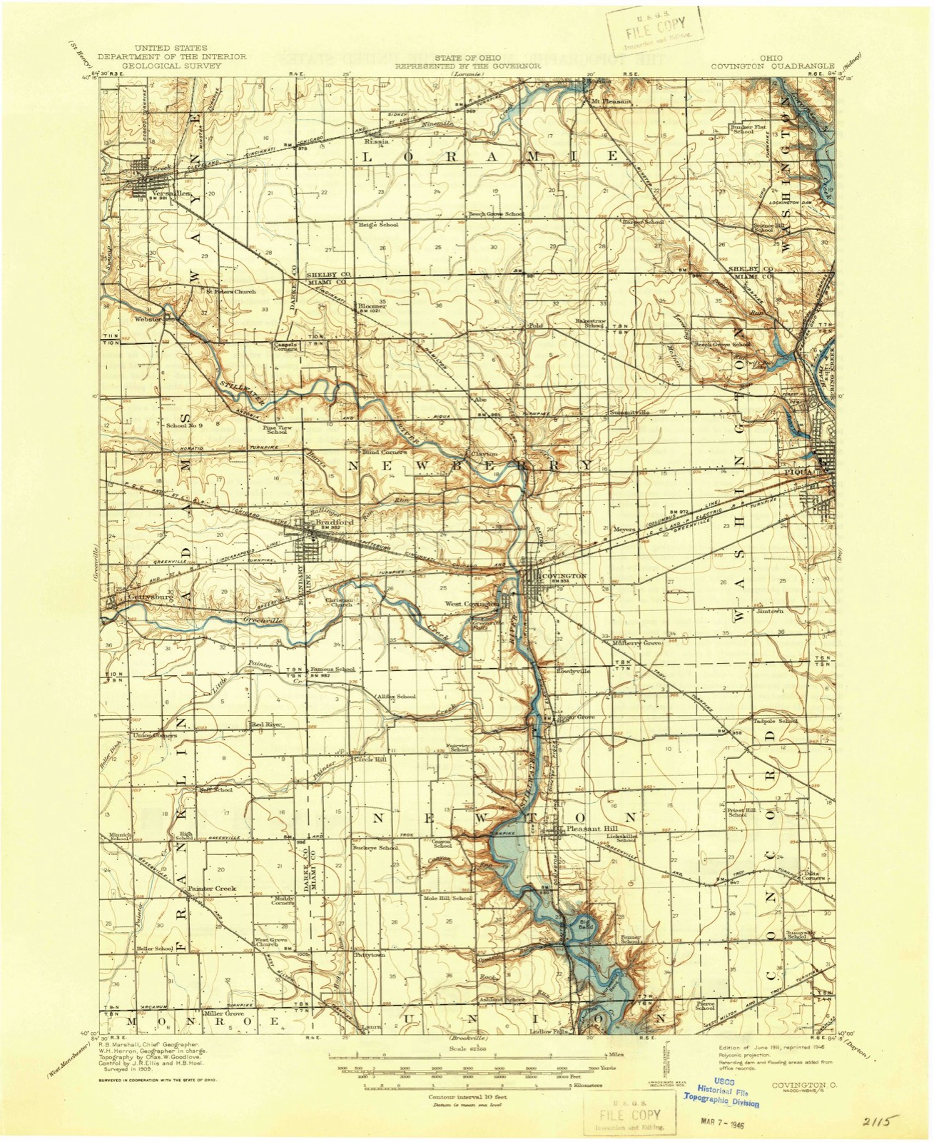
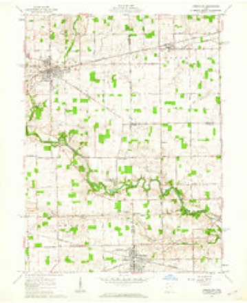
13 topographic sheets cover this place, the earliest surveyed in 1911 and the latest in 1986. It stands in Newberry Township. It lies in ZIP code area 45308. It stands on Ballinger Run. The Survey maps it on the Versailles quadrangle.
Then and now
1911 to 1986The same ground, surveyed 75 years apart. Drag the handle to wipe between them. Both sheets are United States Geological Survey originals; neither has been altered.

Topographic sheets covering this place
13 sheetsMatched by testing this settlement's coordinate against the published boundary of every sheet in the United States Geological Survey's historical collection. Each opens the scanned sheet at the Survey.
- 1911 USGS Covington quadrangle1:62500
- 1944 USGS Covington quadrangle1:62500
- 1953 USGS Muncie quadrangle1:250000
- 1953 USGS Muncie quadrangle1:250000
- 1953 USGS Muncie quadrangle1:250000
- 1953 USGS Muncie quadrangle1:250000
- 1953 USGS Muncie quadrangle1:250000
- 1956 USGS Muncie quadrangle1:250000
- 1961 USGS Versailles quadrangle1:24000
- 1961 USGS Versailles quadrangle1:24000
- 1986 USGS Piqua quadrangle1:100000
- 1986 USGS Piqua quadrangle1:100000
- 1986 USGS Piqua quadrangle1:100000









In the county-history sources
41,096 words on this townshipThe History of Miami County, Ohio : Containing a History of the County; Its Cities, Towns, Etc.; General and Local Statistics; Portraits of Early Settlers and Prominent Men; History of the Northwest Territory; History of Ohio; Map of Miami County; Constitution of the United States; Miscellaneous Matters, Etc., Etc, published 1880 names this settlement in its chapter on Newberry Township. These are the passages that mention it, exactly as the scans read.
The lands in the western and northwestern part of this township are the most elevated in the county ; general surface undulating, inclining to southeast, being traversed, from west to south, by the Stillwater River and Greenville Creek, with their numerous tributaries. A small portion is slightly broken, but few declivities occur. As was the entire county, this township, in an early day, was covered with an unbroken sheet of forest, of various species of timber, too well known to be here described. The noble oak and the valuable sugar maple are, however, fast disappearing, and, ere many years have passed away, will have entirely disappeared. So, also, are growing scarce the ironwood, witch-hazel, box-elder, white thorn, plum and black haw, juneberry, papaw and spicewood, densely blooming in the early spring ; ginseng, yellow and red puccoon root, wild onion, swamp cabbage and spikenard abounded, that forest pest called " ramps," which, when eaten by cows, imparted to the milk and butter a taste and flavor resembling a mixture of garlic, jimson, etc.
Sir - You will make a return of your company to me by the 25th, stating the number of men, and their equipments, and of your camp equipage, so that I may be able to make a general return, as I have received (orders) for that purpose.
It appears that when the workmen began work on the foundation, the frame had suddenly and mysteriously disappeared, although having, up to that time, lain in full view. The theory was, that some evil-minded persons had thrown it into the river during the then existing freshet, as some portions of it were found among the drift, and subsequently one participant confessed it. Thus discouraged, the Baptists ceased to exist as an organization.
Machine-read from a century-old scan, so expect the errors a machine makes: misspelled names, dropped words, stray characters.
Read the whole chapter on Newberry Township - it names this place 13 more 13 times.
Specimens collected near this place
12 of 259 shownRegional context, not property-specific evidence. Museums hold 259 specimens collected within 10 miles of Bradford between 1897 and 1967: 248 Animalia, 6 Plantae, 3 Fungi, 1 Unrecorded, 1 Chromista. 12 distinct Species records are shown. Collected by A. Gaufin, A. R. Gaufin, A.R. Gaufin and others. Each is a physical object with a catalogue number, and each entry opens the museum's record. This is what was collected and kept, not a survey of what lives here - nothing can be concluded from a species being absent.
| Image | Species | Year | Collected by | Where, as recorded |
|---|---|---|---|---|
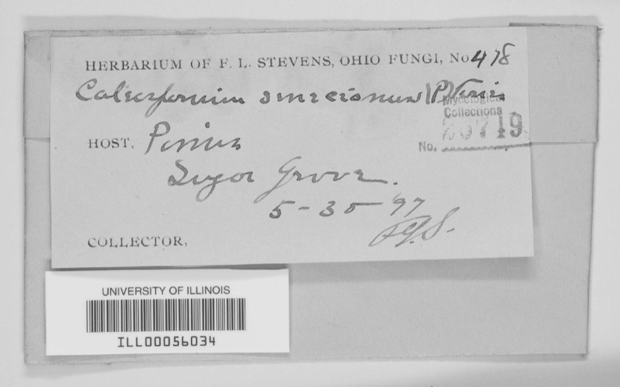 | unnamed | 1897 | F. L. Stevens | Sugar Grove. |
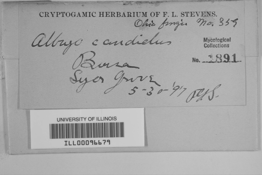 | Albugo candida (Pers. ex J.F.Gmel.) Roussel | 1897 | F.L. Stevens | Sugar Grove |
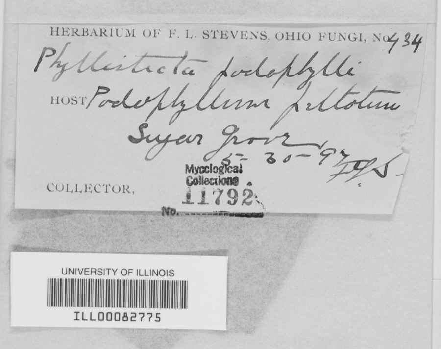 | Phyllosticta podophylli (M.A.Curtis) G.Winter | 1897 | F.L. Stevens | |
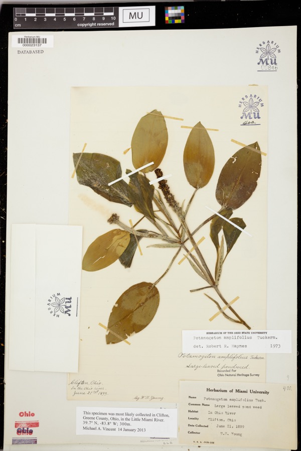 | Potamogeton amplifolius Tuck. | 1899 | Young, WU | |
 | Bothriocephalus claviceps (Goeze, 1782) Rudolphi, 1810 | 1926 | R. Bangham | Piqua |
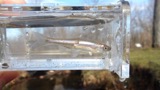 | Cyprinella spiloptera (Cope, 1867) | 1929 | MB Trautman | Stillwater River at Covington, Newberry Twp |
 | Luxilus chrysocephalus Rafinesque, 1820 | 1929 | MB Trautman | Stillwater River at Covington, Newberry Twp |
 | Lythrurus ardens (Cope, 1868) | 1929 | MB Trautman | Stillwater River at Covington, Newberry Twp |
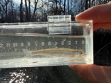 | Notropis photogenis (Cope, 1865) | 1929 | MB Trautman | Stillwater River at Covington, Newberry Twp |
 | Notropis rubellus (Agassiz, 1850) | 1929 | MB Trautman | Stillwater River at Covington, Newberry Twp |
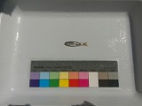 | Notropis volucellus volucellus | 1929 | MB Trautman | Stillwater River at Covington, Newberry Twp |
 | Ameiurus melas (Rafinesque, 1820) | 1930 | MB Trautman | Small tributary of the Stillwater River, northern Newberry Township |
All 259 specimens within 10 miles, at the Global Biodiversity Information Facility.
Mines and quarries near this place
3 within 5 milesRegional context, not property-specific evidence. The federal mineral resources record lists 3 workings within 5 miles of Bradford: 2 producers, 1 past producer. 2 still produce. What was taken out: Sand and Gravel, Construction, Stone, Crushed/Broken, Sand and Gravel, Construction. Distance is straight-line from the map coordinates, so a quarry counted here may appear on a neighbouring settlement's page as well.
| Where | Site | Commodity | Status | Recorded |
|---|---|---|---|---|
| Poeppelman Quarry | Stone, Crushed/Broken, Sand and Gravel, Construction | Producer | ||
| Wise Gravel Pit | Sand and Gravel, Construction | Past Producer | Sedimentary | |
| Wise Gravel Pit | Sand and Gravel, Construction | Producer |
Storms near this place
5 since 1996Regional context, not property-specific evidence. The National Weather Service names Bradford in 5 storm reports between 1996 and 2026: 2 thunderstorm wind, 2 hail, 1 tornado. No death or injury is recorded in these reports. Each account below is quoted exactly as the forecast office filed it, from the NOAA Storm Events Database, and each date opens the federal record of that event.
| When | Event | Place named | Harm | What the report says |
|---|---|---|---|---|
| March 2024 | Tornado (EF2) | Bradford | $750,000 | The tornado developed at 1850EST in Randolph County, Indiana, just south of Farmland. The tornado traveled east across Randolph County, Indiana, and Darke County, Ohio, and entered Miami County at 1952EST, along State Route 721, just north of Grandview Drive. The tornado reached EF-2 intensity with winds of up to 120 mph near the intersection of Klinger and Rangeline Roads. Two homes had a significant amount of roof and some external wall removal while other nearby properties had outbuildings that were severely damaged.||The last damage was noted along State Route 48 near the intersection with Klinger Road. The tornado is believed to have dissipated near this location at 2000EST. |
| October 1996 | Thunderstorm Wind | Bradford | $5,000 | no account filed |
| July 2012 | Thunderstorm Wind | Bradford | $3,000 | Trees and large limbs were downed due to damaging thunderstorm winds. |
| May 2000 | Hail | Bradford | - | Hail as large as baseballs fell across much of county affecting the towns of Bradford, Pleasant Hill, Troy and Piqua. Significant damage occurred. |
| March 2026 | Hail | Bradford | - | no account filed |
Nearest settlements
The eight closest, with where each one stands in the county. Distances are straight-line, computed from the Geographic Names Information System coordinates.
| Map | Place | Distance | Sheets |
|---|---|---|---|
| Clayton | 3.2 miles | 13 | |
| Abe | 3.8 miles | 15 | |
| Bloomer | 3.9 miles | 13 | |
| West Covington | 4.0 miles | 13 | |
| Circle Hill | 4.2 miles | 13 | |
| Covington | 4.2 miles | 13 | |
| Polo | 5.3 miles | 15 | |
| Rowdyville (historical) | 5.3 miles | 13 |
Provenance
This settlement is recorded in the Geographic Names Information System as feature 1064474. The sheet list is computed by point-in-boundary test against the United States Geological Survey's historical topographic inventory. Both are works of the United States government and carry no copyright under 17 U.S.C. 105.
Specimens. Global Biodiversity Information Facility (GBIF), https://www.gbif.org/. Only records licensed CC0 or CC BY are used. Records licensed CC BY-NC are excluded because this site carries advertising. Images are checked individually and any whose licence is non-commercial, no-derivatives or unreadable is refused.
Mines and quarries. USGS Mineral Resources Data System (MRDS) https://mrdata.usgs.gov/mrds/ A work of the United States government, no copyright under 17 U.S.C. 105.
Storms. NOAA National Centers for Environmental Information, Storm Events Database https://www.ncei.noaa.gov/stormevents/ A work of the United States government, no copyright under 17 U.S.C. 105. Narratives are quoted verbatim from the National Weather Service report and are not edited or summarised.