 Block
Block
Coletown, Ohio
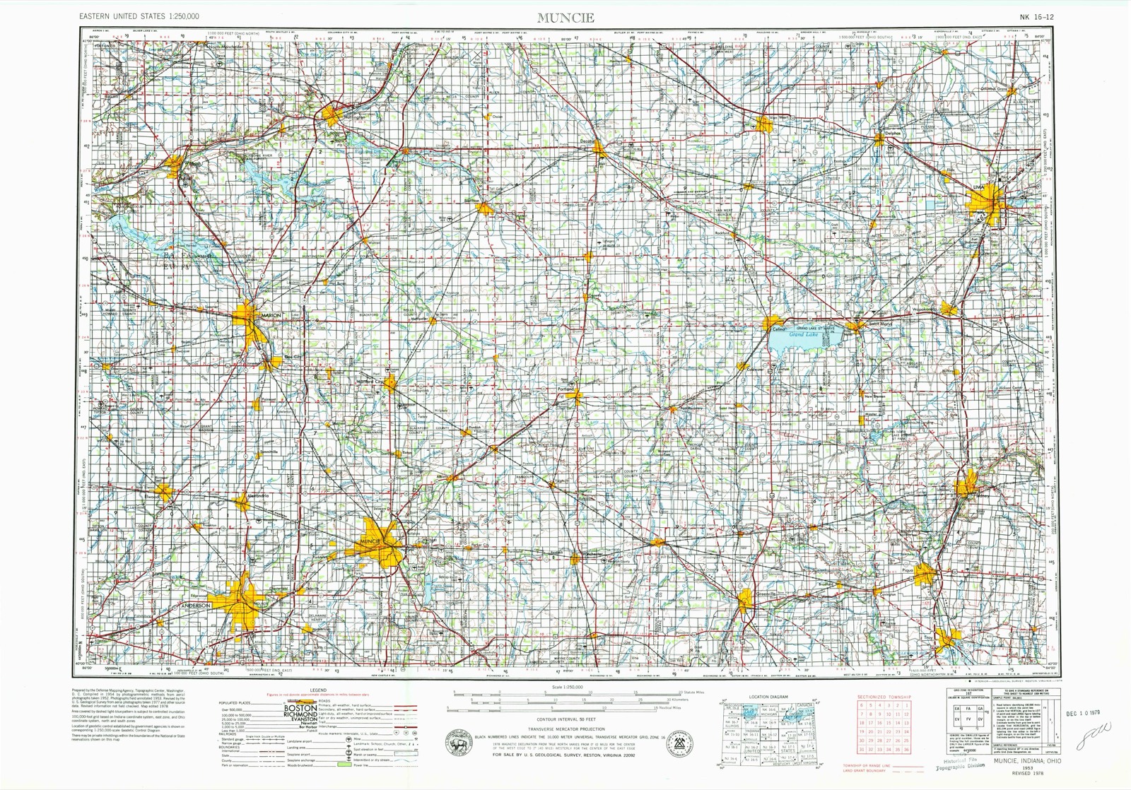
11 topographic sheets cover this place, the earliest surveyed in 1953 and the latest in 1986. It stands in Greenville Township. It lies in ZIP code area 45331. The Survey maps it on the Ansonia quadrangle.
Then and now
1953 to 1986The same ground, surveyed 33 years apart. Drag the handle to wipe between them. Both sheets are United States Geological Survey originals; neither has been altered.

Topographic sheets covering this place
11 sheetsMatched by testing this settlement's coordinate against the published boundary of every sheet in the United States Geological Survey's historical collection. Each opens the scanned sheet at the Survey.
- 1953 USGS Muncie quadrangle1:250000
- 1953 USGS Muncie quadrangle1:250000
- 1953 USGS Muncie quadrangle1:250000
- 1953 USGS Muncie quadrangle1:250000
- 1953 USGS Muncie quadrangle1:250000
- 1956 USGS Muncie quadrangle1:250000
- 1961 USGS Ansonia quadrangle1:24000
- 1961 USGS Ansonia quadrangle1:24000
- 1986 USGS Piqua quadrangle1:100000
- 1986 USGS Piqua quadrangle1:100000
- 1986 USGS Piqua quadrangle1:100000









In the county-history sources
167,840 words on this townshipThe History of Darke County, Ohio, Containing a History of the County; Its Cities, Towns, Etc.; General and Local Statistics; Portraits of Early Settlers and Prominent Men;, published 1880 names this settlement in its chapter on Greenville Township. These are the passages that mention it, exactly as the scans read.
Among those who came between the spring of 1809 and the fall of 1810, the writer, at this distant day. can only name a part, and of that part were Moses Scott, from Southwestern Pennsylvania, who. with his son William, were afterward successive Sheriffs of Darke County, serving in the first, second and third regular terms of that office after the organization of the county : John Studabaker and Abraham Miller, brother and brother-in-law to Abraham Studabaker. who hail settled down the creek some two years before : they were located on lands on the old trace to Fort Jefferson, some two miles south of Greenville ; Scott purchased a quarter-section, a half-mile south of theDevor purchase, that has for the last thirty years or more been the property of David Studabaker, and also purchased two lots adjoining the public square in Greenville, on which he erected a two-story log house, in which for the period of from twelve to lift ecu years, he kept what in those days was regarded as an A No. 1 tavern, or inn. where the weary traveler could be regaled on corn bread, venison, coffee, tea or whisky, as might best suit his appetite or mitigate his hunger and thirst. Scott and what were left of his family migrated to Fort Wayne, End., in 1S24. In the Indian troubles of 1812, he had his powder horn shot away from his side ; a number of years before, he had a narrow escape when engaged in the whisky insurrection in Western Pennsylvania, and his guests at the tavern in Greenville were always entertained by a recital of how he escaped powder and lead in Pennsylvania, as well as a detail of the powder-horn adventure in the prairie above Greenville. About the time of Scott's advent in Greenville, came Charles Sumption, commonly known as the " Wax-works," with a family, consisting of a wife, two sons and four daughters. His son George settled on what is now the Bishop Farm, on Mud Creek, which he sold in 1829, and went to the St. Joe country in Northwest Indiana. Charles ultimately settled up the creek. about six miles above Greenville, in Washington Township. One of the daughters married Benoni Overfield, and was long remembered by the traveling public as the first-class landlady of the Overfield Tavern in Troy. Another was married to Jesse Rush, who also migrated with George Sumption to the St. Joe, in 1820. Another daughter married a blackguard named Henry Lowe, who came here from Kentucky on the hunt of runaway negroes in 1812. The elder Sumption having buried his his first wife and married a second, died near what is now known as Coletown in 1825.
Passage source: The History of Darke County, Ohio, Containing a History of the County; Its Cities, Towns, Etc.; General and Local Statistics; Portraits of Early Settlers and Prominent Men;, published 1880.
Early in 1810, came from Pickaway Plains^ below Circleville, on the Scioto, James Bush, Henry Hush. Andrew Bush and Henry Creviston, and settled, the two first-named at and adjoining the Prophet's town, on Mud Creek. Andrew Bush on the West Branch, where it was crossed by what was known as the " Squaw Road" or Delaware Path. Creviston, after a year or two, and after his brother-inlaw. .Matthew Young, came out from Pickaway County, in conjunction with him purchased land northeast of Coletown, where he resided until 1S25. when he went a few miles farther up the creek, and settled in Washington Township. On the organization of the county, in the winter of 1816-17, James Bush was chosen by the Legislature as one of the Associate Judges of the Court of Common Pleas. which office he held for fourteen years, being re-elected by the Legislature in 1824 ; at the expiration of his second term, Judge Bush with all his family - save one daughter who, in 1828, was married to the late John Deardorff - removed to Eel River, in Indiana.
Passage source: The History of Darke County, Ohio, Containing a History of the County; Its Cities, Towns, Etc.; General and Local Statistics; Portraits of Early Settlers and Prominent Men;, published 1880.
Machine-read from a century-old scan, so expect the errors a machine makes: misspelled names, dropped words, stray characters.
Specimens collected near this place
12 of 496 shownRegional context, not property-specific evidence. Museums hold 496 specimens collected within 10 miles of Coletown between 1895 and 1975: 465 Animalia, 19 Plantae, 12 Fungi. 12 distinct Species records are shown. Collected by A VERWYST, A. F. C.; Stover, W. G., Albrecht, C. and others. Each is a physical object with a catalogue number, and each entry opens the museum's record. This is what was collected and kept, not a survey of what lives here - nothing can be concluded from a species being absent.
| Image | Species | Year | Collected by | Where, as recorded |
|---|---|---|---|---|
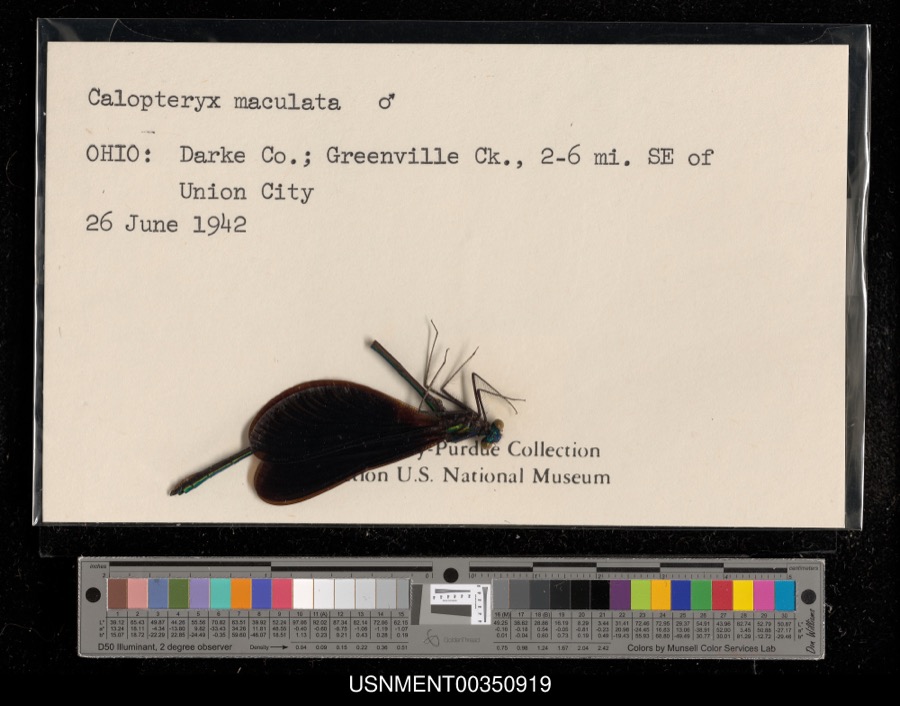 | Calopteryx maculata (Palisot de Beauvois, 1807) | 1942 | [Not Stated] | Greenville Creek, 2-6 miles southeast of Union City |
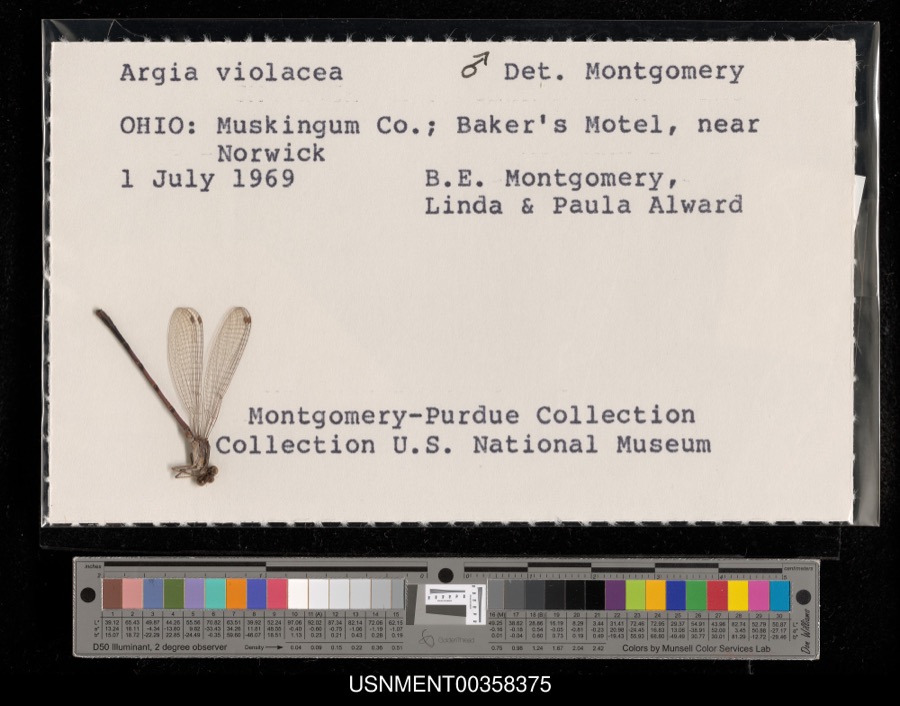 | Argia fumipennis violacea (Hagen, 1861) | 1969 | B. Montgomery, L. Alward & P. Alward | Baker's Motel, near Norwick |
 | Dispira americana Thaxt. | 1895 | Rush W. H. | Greenville |
 | Etheostoma caeruleum Storer, 1845 | 1905 | Clark, C. F. (Clarence F.) | Prairie Outlet, Sec 28 of Neave township, ~0.3 mi NE of Wayne Lakes Park, Neave township |
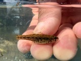 | Etheostoma microperca Jordan & Gilbert, 1888 | 1905 | Clark, C. F. (Clarence F.) | Prairie Outlet, Sec 28 of Neave township, ~0.3 mi NE of Wayne Lakes Park, Neave township |
 | Clitocybe multiceps Peck | 1906 | H.J. Brememan | Greenville |
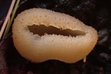 | Peziza vesiculosa Bull. | 1907 | Lucas, C | Greenville |
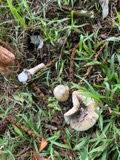 | Amanita phalloides (Vaill. ex Fr.) Secr. | 1909 | A. F. C.; Stover, W. G. | Greenville |
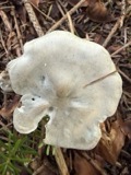 | Clitocybe odora (Bull.) P.Kumm. | 1909 | Stover, W. G. | Greenville |
 | Panaeolus solidipes (Peck) Sacc. | 1909 | Stover, W. G. | Greenville |
 | Butorides virescens virescens (Linnaeus, 1758) | 1915 | Householder, V. | Ausonia, 1 mi E |
 | Contopus virens (Linnaeus, 1766) | 1915 | Householder, V. | Ausonia, 3 mi W |
All 496 specimens within 10 miles, at the Global Biodiversity Information Facility.
Mines and quarries near this place
3 within 5 milesRegional context, not property-specific evidence. The federal mineral resources record lists 3 workings within 5 miles of Coletown: 2 producers, 1 past producer. 2 still produce. What was taken out: Clay, Sand and Gravel, Construction. Distance is straight-line from the map coordinates, so a quarry counted here may appear on a neighbouring settlement's page as well.
| Where | Site | Commodity | Status | Recorded |
|---|---|---|---|---|
| Fourmans Gravel Pit | Sand and Gravel, Construction | Producer | ||
| Darke County Pit | Clay | Past Producer | Sedimentary | |
| Darke County Pit | Clay | Producer |
Storms near this place
2 since 2013Regional context, not property-specific evidence. The National Weather Service names Coletown in 2 storm reports between 2013 and 2024: 1 flood, 1 tornado. No death or injury is recorded in these reports. Each account below is quoted exactly as the forecast office filed it, from the NOAA Storm Events Database, and each date opens the federal record of that event.
| When | Event | Place named | Harm | What the report says |
|---|---|---|---|---|
| May 2024 | Tornado (EF1) | Coletown | $500,000 | The tornado began near the intersection of Greenville-Nashville Road and New Madison-Coletown Road, where several trees were uprooted. The tornado continued northeast across State Route 502. Minor damage to homes and trees was observed on Daly Road west of Greenville. The width of the tornado increased significantly as the tornado entered Greenville. Numerous trees were snapped or uprooted within the Greenville Union Cemetery.||As the tornado continued through the north side of Greenville, the width of the circulation remained large, with expansive tree damage throughout the city. The majority of the wind damage to homes was fairly minor with shingles and siding removed at many residences. Structure damage at the high school football field was also observed. Based on the damage in Greenville, maximum wind speeds were estimated to be around 110 mph.||The tornado exited Greenville near the elementary school and continued along Kruckeburg Road where it damaged some outbuildings and homes. Additional tree and structure damage was observed along Childrens Home Bradford Road as the tornado continued northeast. The final damage was found along Auld Road, northwest of Bradford. |
| December 2013 | Flood | Coletown | - | Twelve combined township and county roads were closed around Darke County due to high standing water caused by heavy rainfall. |
Nearest settlements
The eight closest, with where each one stands in the county. Distances are straight-line, computed from the Geographic Names Information System coordinates.
| Map | Place | Distance | Sheets |
|---|---|---|---|
| Mount Heron | 0.7 miles | 11 | |
| Sharps Crossing | 2.0 miles | 11 | |
| Mount Pleasant (historical) | 2.8 miles | 12 | |
| Sharpeye | 3.0 miles | 12 | |
| Wildcat Woods Estates | 3.1 miles | 18 | |
| Woodington | 3.3 miles | 11 | |
| Nashville | 3.7 miles | 12 | |
| Roe Corners | 4.3 miles | 11 |
Elsewhere
Matched on this settlement's Geographic Names Information System number rather than its name, so it cannot be a different place of the same name in another state.
| Wikipedia article on Coletown | An encyclopaedic summary. Its text is share-alike, so it is linked here rather than copied. |
| Wikidata item Q22133666 | The structured record the population and elevation above come from. Public domain (CC0). |
Provenance
This settlement is recorded in the Geographic Names Information System as feature 1056824. The sheet list is computed by point-in-boundary test against the United States Geological Survey's historical topographic inventory. Both are works of the United States government and carry no copyright under 17 U.S.C. 105.
Specimens. Global Biodiversity Information Facility (GBIF), https://www.gbif.org/. Only records licensed CC0 or CC BY are used. Records licensed CC BY-NC are excluded because this site carries advertising. Images are checked individually and any whose licence is non-commercial, no-derivatives or unreadable is refused.
Mines and quarries. USGS Mineral Resources Data System (MRDS) https://mrdata.usgs.gov/mrds/ A work of the United States government, no copyright under 17 U.S.C. 105.
Storms. NOAA National Centers for Environmental Information, Storm Events Database https://www.ncei.noaa.gov/stormevents/ A work of the United States government, no copyright under 17 U.S.C. 105. Narratives are quoted verbatim from the National Weather Service report and are not edited or summarised.