 Block
Block
Woodington, Ohio
11 topographic sheets cover this place, the earliest surveyed in 1953 and the latest in 1986. It stands in Greenville Township. It lies in ZIP code area 45331. The Survey maps it on the Ansonia quadrangle.
Then and now
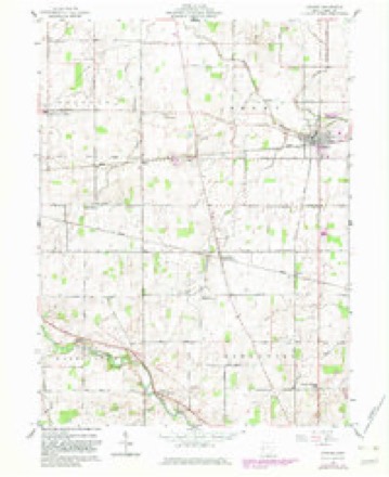
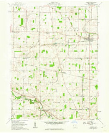
1953 to 1986The same ground, surveyed 33 years apart. Drag the handle to wipe between them. Both sheets are United States Geological Survey originals; neither has been altered.

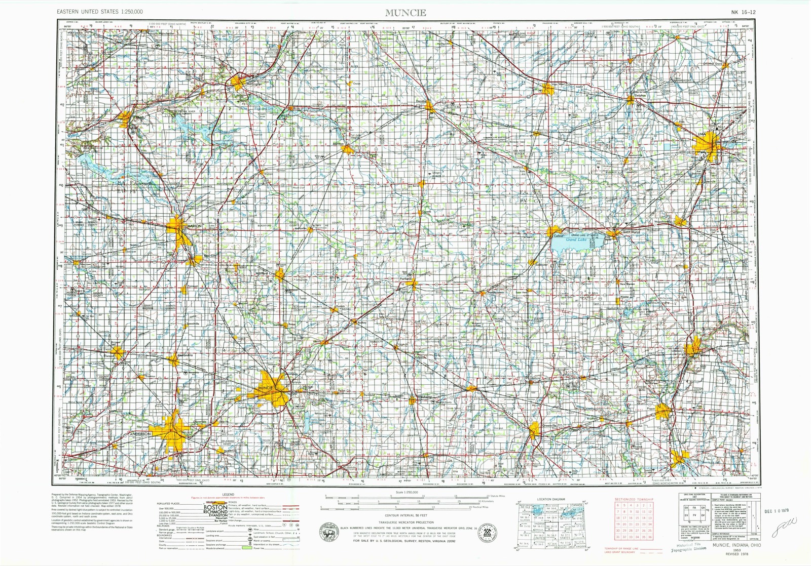
Topographic sheets covering this place
11 sheetsMatched by testing this settlement's coordinate against the published boundary of every sheet in the United States Geological Survey's historical collection. Each opens the scanned sheet at the Survey.
- 1953 USGS Muncie quadrangle1:250000
- 1953 USGS Muncie quadrangle1:250000
- 1953 USGS Muncie quadrangle1:250000
- 1953 USGS Muncie quadrangle1:250000
- 1953 USGS Muncie quadrangle1:250000
- 1956 USGS Muncie quadrangle1:250000
- 1961 USGS Ansonia quadrangle1:24000
- 1961 USGS Ansonia quadrangle1:24000
- 1986 USGS Piqua quadrangle1:100000
- 1986 USGS Piqua quadrangle1:100000
- 1986 USGS Piqua quadrangle1:100000









In the county-history sources
167,840 words on this townshipThe History of Darke County, Ohio, Containing a History of the County; Its Cities, Towns, Etc.; General and Local Statistics; Portraits of Early Settlers and Prominent Men;, published 1880 names this settlement in its chapter on Greenville Township. These are the passages that mention it, exactly as the scans read.
Darke County lies in the extreme western part of the State, a little south of the center, adjoining Indinna on the west. It is bounded by Mercerand Auglaize Counties on the north, by Preble and Montgomery on the south and on the east by Shelby and Miami. The area is 588 square miles. Its outlines nearly describe a rectangle, its greater extent being north and south. In accordance with an act passed by the General Assembly of December, 1803, incorporating townships and establishing boards of County Commissioners, the comity of Darke from its sparse population was originally organized into one township and known as Greenville. On July 3, 1817, Twin Township was taken from the south end of Greenville, and embraced all the county south of a line running due east from the southwest corner of Section 31, Township 11 north, Range 1. In the same month. Wayne was created from the northern part of Greenville, and embraced within its limits all of the county north of a line beginning at the northwest corner of Township 12 north. Range 1 east ; thence east to the northwest corner of Township 9 north, Range 4 east ; thence south to the middle of said township, and thence east to the county line. In February, 1818, Harrison was formed and, in March, 1819, all of Greenville Township that lay in Range 1 was formed into a new township entitled Washington, and, in the same month, Adams was formed from all lands in "the county, east of a line running south from the northwest corner of Section 4, Township 10, Range 3, to the southwest corner of Section 28, Township 9, Range 3. In September, 1820, two tiers of sections across the north end of Greenville Township with parts of Wayne and Adams were formed into a new township called Richland, and. in 1821. Neaves Township was laid out, taking four tiers of sections from the south side of the old township. In March, 1829, all of Richland lying in Township 12 north. Range 2 east, was transferred back to Greenville, and also Section 31, of Township 13 north, Range 2. This last section was afterward returned, leaving Greenville as now constituted. German was constituted in 1820 ; Brown and Jackson in 1833 ; Gibson and Monroe in 1836 ; York in 1837, from Richland ; Van Buren in 1838 ; Allen, north end of Brown, north end of Jackson, and Mississinewa, in 1839 ; also Franklin in -lime of the same 37ear ; Wabash, Patterson and Butler in 1841. In 1840, Gibson Township, about one-half of Allen and parts of Patterson and Wabash were taken from Darke and attached to Mercer County. There are at present twenty civil townships - Patterson, Wabash, Allen, Mississinewa, Jackson. Brown, York, Richland, Wayne, Adams, Greenville, Washington, German, Neaves, Van Buren, Franklin, Monroe, Twin, Butler and Harrison. Within their area are contained eight incorporated towns and twenty-five villages. Greenville has priority from age and has always been the capital of the county. Here, as elsewhere stated, are court house, jail and all the conveniences for officials, courts and criminals ; here are some of the oldest churches in the county ; here lived men prominent in letters, and here was started the first newspaper published in Darke. The place is rich in its historic associations. Near the cit}- are the fair grounds, a notable feature of a leading agricultural section. It is situated on Greenville Creek, in the township of Greenville, ninet}T-two miles west of Columbus, and ten from the Indiana line. It has manifest advantages from turnpikes and railroads, and of later years has made a fair use of them. It was laid out in 1810, and incorporated in 1832. It has a national bank, fine churches, good business houses, a handsome and capacious school building, a number of elegant and costly residences fitted up with tasteful grounds. The Turpen House, a large hotel, together with the Wagner House, offers excellent acommodations to guests ; and the city and county support three newspapers. Postal facilities, fire department and other agencies for business, comfort and safety are well supplied. The incorporated towns are New Madison, laid out in 1817, incorporated. 1841. and situated ten miles southwest of Greenville, near the site of old Fort Black ; it is a fine thriving place. Versailles, platted in 1819, and duly incorporated in 1855, and located in Wayne Township ; Union City, a flourishing place on the State line, platted in 1838, and incorporated in 1853, and a lively railroad center ; Gettysburg, incorporated in 1866 ; Dallas, in 1867 ; Arcanum, platted in 1849 and incorporated in 1858. and Bradford, platted in 1867, and incorporated in 1871. The villages are thus enumerated : Minatown, laid out in 1818 ; Fort Jefferson, same j'ear. remarkable as the first work built as a fort in the county; New castine and Ithaca, in 1832; Braffettsville and Palestine, in 1833; Webster, 1835; Beamsville and New Earrison, in 1837; Bollandsburg, 1838 ; North Jacksonville and' Gettysburg, 1842 ; Dallas. 1845; Sampson. 1846 ; Hill Grove and Coleville, in 1848; Gordon, 1849; Tampico, 1850 ; Hose Hill. 1852; De Lisle, 1853; Nevada, 1854; Stelvidio, in the Same year, and Woodland, in 1859. There was now an interval of seven years. during which the stormy scenes of warfare embittered feeling and absorbed public attention, hut again the current rolled on. and. in 1866, Pikeville was platted. next Bradford; then RossvLUe, in 1868, Painter Creek in 1870, and Woodington in 1871. A number of these are promising, prosperous villages, while others are lively hamlets, convenient of resort for meals, grists, trade, lumber conveniences and church privileges. Pine pikes hearing the name of the village of which they are a terminus, or through which they extend, render wheeling convenient and make all points accessible, regardless of seasons. Railroads traverse the townships in various directions, and the difficulties of early transportation are now unknown. The obstacles of the past cannot be conceived from any observation of the present. The fields traversed by open or covered drains, and hearing fine crops of wheat and corn, the groves free from all undergrowth, and the unobstructed streams, require personal knowledge or strong faith to believe the stories of the battles of civilization with the rude, strong elements of nature.
Passage source: The History of Darke County, Ohio, Containing a History of the County; Its Cities, Towns, Etc.; General and Local Statistics; Portraits of Early Settlers and Prominent Men;, published 1880.
Machine-read from a century-old scan, so expect the errors a machine makes: misspelled names, dropped words, stray characters.
Read the whole chapter on Greenville Township - it names this place 5 more 5 times.
Specimens collected near this place
12 of 497 shownRegional context, not property-specific evidence. Museums hold 497 specimens collected within 10 miles of Woodington between 1895 and 1975: 467 Animalia, 18 Plantae, 12 Fungi. 12 distinct Species records are shown. Collected by A VERWYST, A. F. C.; Stover, W. G., Albrecht, C. and others. Each is a physical object with a catalogue number, and each entry opens the museum's record. This is what was collected and kept, not a survey of what lives here - nothing can be concluded from a species being absent.
| Image | Species | Year | Collected by | Where, as recorded |
|---|---|---|---|---|
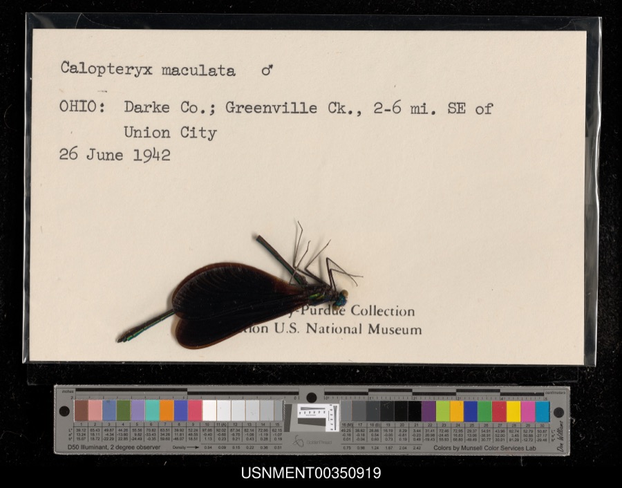 | Calopteryx maculata (Palisot de Beauvois, 1807) | 1942 | [Not Stated] | Greenville Creek, 2-6 miles southeast of Union City |
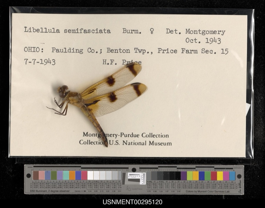 | Libellula semifasciata Burmeister, 1839 | 1943 | H. Price | Benton Township, Price Farm, Section 15 |
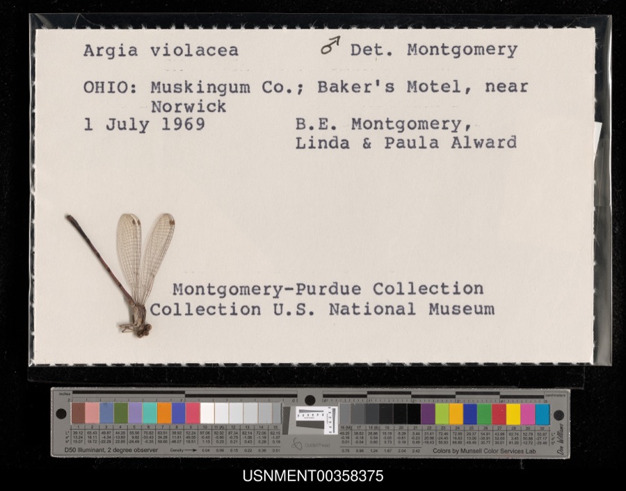 | Argia fumipennis violacea (Hagen, 1861) | 1969 | B. Montgomery, L. Alward & P. Alward | Baker's Motel, near Norwick |
 | Dispira americana Thaxt. | 1895 | Rush W. H. | Greenville |
 | Clitocybe multiceps Peck | 1906 | H.J. Brememan | Greenville |
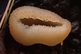 | Peziza vesiculosa Bull. | 1907 | Lucas, C | Greenville |
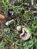 | Amanita phalloides (Vaill. ex Fr.) Secr. | 1909 | A. F. C.; Stover, W. G. | Greenville |
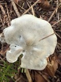 | Clitocybe odora (Bull.) P.Kumm. | 1909 | Stover, W. G. | Greenville |
 | Panaeolus solidipes (Peck) Sacc. | 1909 | Stover, W. G. | Greenville |
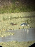 | Butorides virescens virescens (Linnaeus, 1758) | 1915 | Householder, V. | Ausonia, 1 mi E |
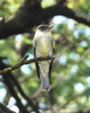 | Contopus virens (Linnaeus, 1766) | 1915 | Householder, V. | Ausonia, 3 mi W |
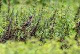 | Dolichonyx oryzivorus (Linnaeus, 1758) | 1915 | Householder, V. | 1 mi. E Ausonia |
All 497 specimens within 10 miles, at the Global Biodiversity Information Facility.
Mines and quarries near this place
1 within 5 milesRegional context, not property-specific evidence. The federal mineral resources record lists 1 working within 5 miles of Woodington: 1 producer. All of them still produce. What was taken out: Sand and Gravel, Construction. Distance is straight-line from the map coordinates, so a quarry counted here may appear on a neighbouring settlement's page as well.
| Where | Site | Commodity | Status | Recorded |
|---|---|---|---|---|
| Fourmans Gravel Pit | Sand and Gravel, Construction | Producer |
Storms near this place
2 since 2015Regional context, not property-specific evidence. The National Weather Service names Woodington in 2 storm reports between 2015 and 2019: 2 flood. No death or injury is recorded in these reports. Each account below is quoted exactly as the forecast office filed it, from the NOAA Storm Events Database, and each date opens the federal record of that event.
| When | Event | Place named | Harm | What the report says |
|---|---|---|---|---|
| April 2019 | Flood | Woodington | - | Beamsville-Union City Road was closed due to flooding. |
| July 2015 | Flood | Woodington | - | Cox road was closed between Coletown-Lightsville Road and State Route 49 due to high water. |
Nearest settlements
The eight closest, with where each one stands in the county. Distances are straight-line, computed from the Geographic Names Information System coordinates.
| Map | Place | Distance | Sheets |
|---|---|---|---|
| Elroy | 2.6 miles | 11 | |
| Roe Corners | 2.8 miles | 11 | |
| Mount Heron | 3.0 miles | 11 | |
| Hetzlerville (historical) | 3.2 miles | 11 | |
| Ansonia | 3.3 miles | 11 | |
| Coletown | 3.3 miles | 11 | |
| Sharps Crossing | 3.5 miles | 11 | |
| Pikeville | 4.0 miles | 12 |
Elsewhere
Matched on this settlement's Geographic Names Information System number rather than its name, so it cannot be a different place of the same name in another state.
| Wikipedia article on Woodington | An encyclopaedic summary. Its text is share-alike, so it is linked here rather than copied. |
| Wikidata item Q23698547 | The structured record the population and elevation above come from. Public domain (CC0). |
Provenance
This settlement is recorded in the Geographic Names Information System as feature 1049342. The sheet list is computed by point-in-boundary test against the United States Geological Survey's historical topographic inventory. Both are works of the United States government and carry no copyright under 17 U.S.C. 105.
Specimens. Global Biodiversity Information Facility (GBIF), https://www.gbif.org/. Only records licensed CC0 or CC BY are used. Records licensed CC BY-NC are excluded because this site carries advertising. Images are checked individually and any whose licence is non-commercial, no-derivatives or unreadable is refused.
Mines and quarries. USGS Mineral Resources Data System (MRDS) https://mrdata.usgs.gov/mrds/ A work of the United States government, no copyright under 17 U.S.C. 105.
Storms. NOAA National Centers for Environmental Information, Storm Events Database https://www.ncei.noaa.gov/stormevents/ A work of the United States government, no copyright under 17 U.S.C. 105. Narratives are quoted verbatim from the National Weather Service report and are not edited or summarised.