 Block
Block
Columbus Grove, Ohio
13 topographic sheets cover this place, the earliest surveyed in 1906 and the latest in 1986. It stands in Pleasant Township. It lies in ZIP code area 45830. The Survey maps it on the Columbus Grove quadrangle. 2,160 people lived here at the 2020 count. It stands 774 feet above sea level.
Research this city
This curated hub for Putnam County, Ohio brings together the page's documented record links, visible map or image evidence where published, and routes to related local records.
What is documented here?
Use the page's provenance and linked records to distinguish the source material from the site's navigation and summaries.
How should I cite it?
Open the original record, preserve its repository and identifier, then use the citation tool for this page as a path back to the source.
Where should I go next?
Follow the county or state hub for related places and records, then use the guide for a source-aware research sequence.
Population over time
4 figuresColumbus Grove fell from 2,200 to 2,160 between 2000 and 2020. These are the recorded population figures Wikidata holds for this place, reached through the Geographic Names Information System number this page is keyed on rather than by name, so they belong to this place and not to another of the same name. Most are census counts, but not all are: an early figure may be a founding or settlement estimate. The change column is computed, and is left blank where more than 20 years separate a figure from the one before it, because a gap that long is not a change between two counts.
| Year | People | Change |
|---|---|---|
| 2000 | 2,200 | |
| 2010 | 2,137 | -63 (-3%) |
| 2018 | 2,071 | -66 (-3%) |
| 2020 | 2,160 | +89 (+4%) |
Then and now
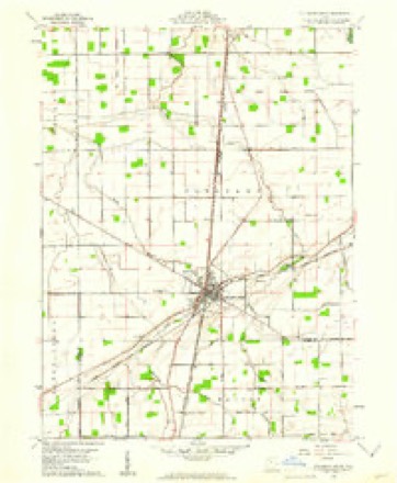
1906 to 1986The same ground, surveyed 80 years apart. Drag the handle to wipe between them. Both sheets are United States Geological Survey originals; neither has been altered.

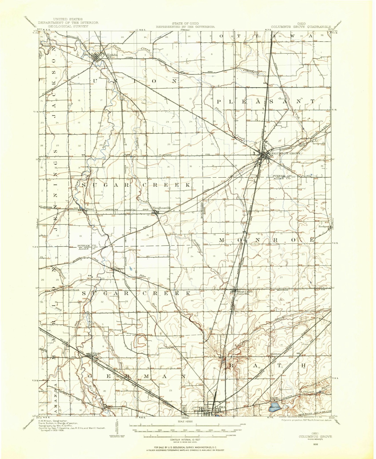
Topographic sheets covering this place
13 sheetsMatched by testing this settlement's coordinate against the published boundary of every sheet in the United States Geological Survey's historical collection. Each opens the scanned sheet at the Survey.
- 1906 USGS Columbus Grove quadrangle1:62500
- 1908 USGS Columbus Grove quadrangle1:62500
- 1953 USGS Muncie quadrangle1:250000
- 1953 USGS Muncie quadrangle1:250000
- 1953 USGS Muncie quadrangle1:250000
- 1953 USGS Muncie quadrangle1:250000
- 1953 USGS Muncie quadrangle1:250000
- 1956 USGS Muncie quadrangle1:250000
- 1960 USGS Columbus Grove quadrangle1:24000
- 1960 USGS Columbus Grove quadrangle1:24000
- 1986 USGS Lima quadrangle1:100000
- 1986 USGS Lima quadrangle1:100000
- 1986 USGS Lima quadrangle1:100000









In the county-history sources
1,728 words on this townshipHistory of Putnam County, Ohio : Its Peoples, Industries, and Institutions, published 1915 names this settlement in its chapter on Pleasant Township. These are the passages that mention it, exactly as the scans read.
The first log school house was erected in 1836, about half a mile northeast of Columbus Grove, and here John Wamsley conducted the first school in the winter of 1836-37. The postoffice was established in 1844, with Adam Turner as the first postmaster.
Passage source: History of Putnam County, Ohio : Its Peoples, Industries, and Institutions, published 1915.
The village of Columbus Grove was laid out and platted in December, 1842, by Capt. Frederick Fruchey, the proprietor. It was surveyed and platted for the proprietor by Benjamin Dunning. Captain Fruchey and most of the early settlers came from Columbus, Franklin county, and the site of this town being a famous Indian sugar grove, hence the name.
Passage source: History of Putnam County, Ohio : Its Peoples, Industries, and Institutions, published 1915.
The first house built in Columbus Grove was a log dwelling, erected by John Mumea on the lot where the Lenhart block now stands. The first frame dwelling was built by Samuel Sterlin, who also erected the first brick structure in the village. The first manufacturing establishment was an ashery and pottery, built and operated by the Durfey brothers. They manufactured black salts and pearl ash, and, in the pottery, crocks, jugs and other earthen wares. In 1843 Sheldon Guthrie erected a small building on a lot near the Durfeys' establishment and opened a small supply store, exchanging goods for furs, there being but little money in this new country. Columbus Grove was incorporated in 1864 by John J. Baker and others. The first officers were David Jones, mayor ; S. B. McHenry, clerk. The first tavern was built by James Pier. This was a hewed-log structure, three rooms on the ground floor and two on the second. Among the business men of the town in 1850,
Passage source: History of Putnam County, Ohio : Its Peoples, Industries, and Institutions, published 1915.
Machine-read from a century-old scan, so expect the errors a machine makes: misspelled names, dropped words, stray characters.
Read the whole chapter on Pleasant Township - it names this place 3 more 3 times.
Fires near this place
1 since 2002Regional context, not property-specific evidence. The federal wildfire occurrence database lists 1 fire within 5 miles of Columbus Grove between 2002 and 2002, burning about 1 acres in total. None started naturally. None was recorded as arson. Distance is straight-line from the map coordinates, so a fire counted here may appear on a neighbouring settlement's page as well.
| Reported cause | Fires |
|---|---|
| Equipment and vehicle use | 1 |
The most recent of them, most recent first, with the day each was reported and the service that recorded it.
| Date | Cause | Size | Reported by | Name on the report |
|---|---|---|---|---|
| 18 October 2002 | Equipment and vehicle use | 1.0 acres | Ohio State Fire Marshal's Office | not named |
Settlements close enough to share some of these fires:
Specimens collected near this place
12 of 114 shownRegional context, not property-specific evidence. Museums hold 114 specimens collected within 10 miles of Columbus Grove between 1860 and 1969: 105 Animalia, 8 Plantae, 1 Fungi. 12 distinct Species records are shown. Collected by Adler, K. K., Blyth & Katz, Bureau of Fisheries and others. Each is a physical object with a catalogue number, and each entry opens the museum's record. This is what was collected and kept, not a survey of what lives here - nothing can be concluded from a species being absent.
| Image | Species | Year | Collected by | Where, as recorded |
|---|---|---|---|---|
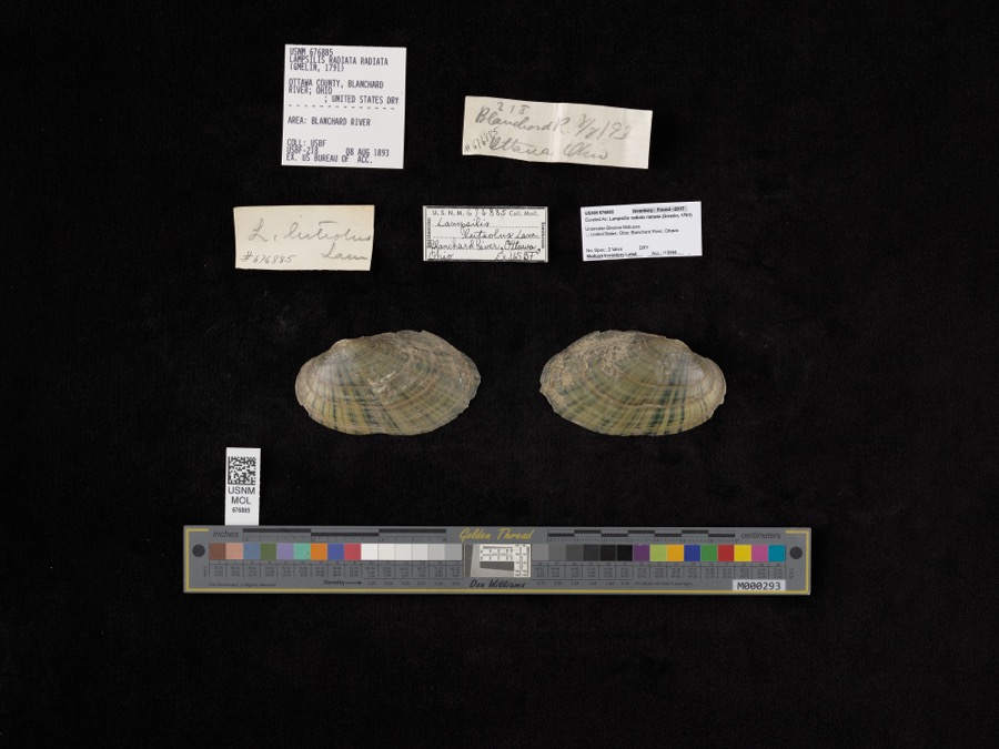 | Lampsilis radiata radiata (Gmelin, 1791) | 1893 | Bureau of Fisheries | Blanchard River |
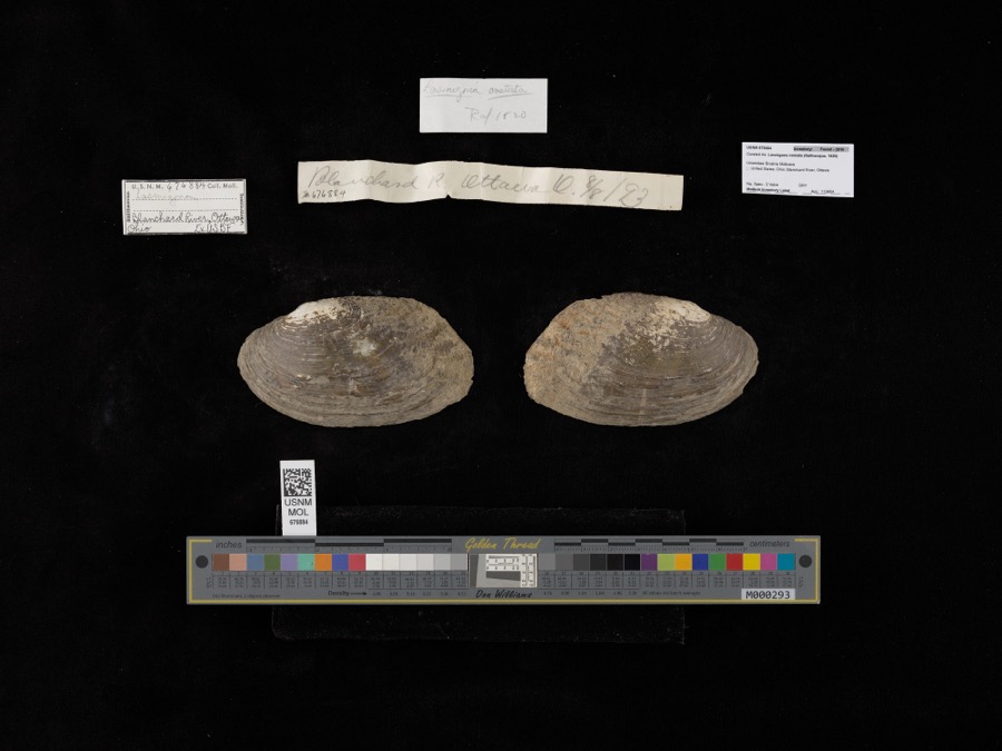 | Lasmigona costata (Rafinesque, 1820) | 1893 | not recorded | Blanchard River, Ottawa |
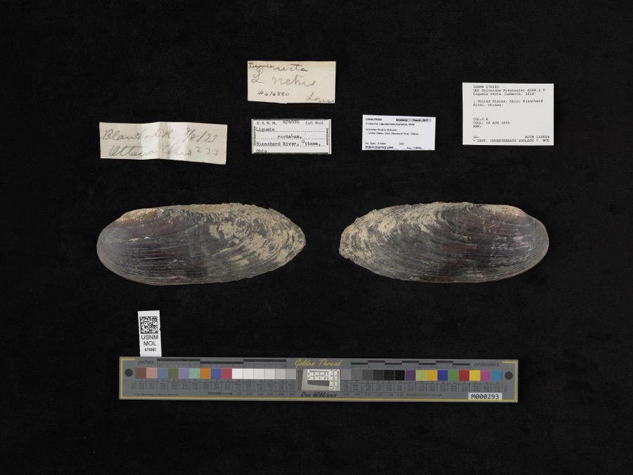 | Ligumia recta (Lamarck, 1819) | 1893 | O. E. | Blanchard River, Ottawa |
 | Hybopsis amblops (Rafinesque, 1820) | 1860 | unknown | Blanchard R. at Ottawa |
 | Botaurus lentiginosus (Rackett, 1813) | 1878 | not recorded | |
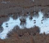 | Calidris alpina (Linnaeus, 1758) | 1878 | Porter collection, J.B. | |
 | Calidris minutilla (Vieillot, 1819) | 1878 | Porter collection, J.B. | |
 | Chlidonias niger (Linnaeus, 1758) | 1878 | Porter collection, J.B. | |
 | Gallinago gallinago (Linnaeus, 1758) | 1878 | Porter, J.B. | |
 | Gallinula chloropus (Linnaeus, 1758) | 1878 | Porter, J.B. | |
 | Sterna hirundo Linnaeus, 1758 | 1878 | Porter collection, J.B. | |
 | Botaurus Stephens, 1819 | 1879 | not recorded |
All 114 specimens within 10 miles, at the Global Biodiversity Information Facility.
Mines and quarries near this place
4 within 5 milesRegional context, not property-specific evidence. The federal mineral resources record lists 4 workings within 5 miles of Columbus Grove: 3 past producers, 1 producer. 1 still produces. What was taken out: Sand and Gravel, Construction. Distance is straight-line from the map coordinates, so a quarry counted here may appear on a neighbouring settlement's page as well.
| Where | Site | Commodity | Status | Recorded |
|---|---|---|---|---|
| Columbus Grove Sand and Gravel Pit | Sand and Gravel, Construction | Past Producer | Sedimentary | |
| Columbus Grove Sand and Gravel Pit | Sand and Gravel, Construction | Past Producer | ||
| Rockport S&G Co. Pit | Sand and Gravel, Construction | Past Producer | ||
| Rockport Sand & Gravel Co Pit | Sand and Gravel, Construction | Producer |
Storms near this place
41 since 1994Regional context, not property-specific evidence. The National Weather Service names Columbus Grove in 41 storm reports between 1994 and 2024: 26 thunderstorm wind, 15 hail. No death or injury is recorded in these reports. Each account below is quoted exactly as the forecast office filed it, from the NOAA Storm Events Database, and each date opens the federal record of that event.
| When | Event | Place named | Harm | What the report says |
|---|---|---|---|---|
| June 2012 | Thunderstorm Wind | Columbus Grove | $100,000 | A local newspaper showed pictures of a second story wall of the two story Christies on the Square, built in the 1800s, being blown out with debris falling onto the street below, destroying two parked cars. |
| March 2024 | Thunderstorm Wind | Columbus Grove | $15,000 | A semi truck was blown over and several road signs were downed. |
| June 2008 | Thunderstorm Wind | Columbus Grove | $10,000 | Local law enforcement officials reported a few trees and power lines across parts of the county. |
| November 1998 | Thunderstorm Wind | Columbus Grove | $10,000 | SEVERAL TREES AND POWER LINES WERE BLOWN DOWN. STATE ROUTE 65 WAS BLOCKED IN SEVERAL LOCATIONS DUE TO FELLED TREES. |
| April 1996 | Thunderstorm Wind | Columbus Grove | $10,000 | no account filed |
| April 2005 | Thunderstorm Wind | Columbus Grove | $9,000 | Three power lines and a total of 9 power poles were knocked down. |
| November 1994 | Thunderstorm Wind | Columbus Grove | $5,000 | Wind gusts were measured at 61 mph. Several trees were downed. |
| January 2008 | Thunderstorm Wind | Columbus Grove | $4,000 | A 38 foot 5th wheel trailer was rolled by the strong winds. Branches were also reported down in parts of the county. |
| May 1995 | Thunderstorm Wind | Columbus Grove | $3,000 | Sixty-one mile an hour winds were measured, uprooting several large trees. |
| March 2022 | Thunderstorm Wind | Columbus Grove | - | The public reported several large branches down on Road Z, north of Road 8S. |
| May 2020 | Thunderstorm Wind | Columbus Grove | - | A trained spotter reported broken branches on the west side of Columbus Grove along with a recorded 61 mph wind gust. |
| June 2017 | Thunderstorm Wind | Columbus Grove | - | A trained spotter reported several small tree limbs down. No specific size given. |
| June 2012 | Thunderstorm Wind | Columbus Grove | - | A local newspaper posted a picture of several large trees snapped and laid over onto State Route 65 in Columbus Grove, blocking the roadway for several hours. |
| June 2012 | Thunderstorm Wind | Columbus Grove | - | A trained spotter recorded a 78 mph wind gust. A swing set at a residence was destroyed. |
| July 2011 | Thunderstorm Wind | Columbus Grove | - | Law enforcement officials reported a few larger branches down as well as one tree in Columbus Grove. |
| June 2010 | Thunderstorm Wind | Columbus Grove | - | Multiple tree branches were down across SR 12. |
| June 2010 | Thunderstorm Wind | Columbus Grove | - | A 24 to 36 inch diameter healthy tree was uprooted. Numerous tree limbs were downed and power was out in town. |
| July 2002 | Thunderstorm Wind | Columbus Grove | - | Emergency management reported tress down in Columbus Grove. |
| June 1999 | Hail | Columbus Grove | - | Nickel to quarter-size hail reported by spotter between Columbus Grove and Ottawa. |
| July 1997 | Thunderstorm Wind | Columbus Grove | - | An observer reported a wind gust to 62 mph. |
| June 1997 | Thunderstorm Wind | Columbus Grove | - | An observer measured a gust to 64 mph. |
| March 2020 | Hail | Columbus Grove | - | no account filed |
| March 2017 | Hail | Columbus Grove | - | no account filed |
| July 2012 | Hail | Columbus Grove | - | no account filed |
| August 2011 | Hail | Columbus Grove | - | no account filed |
| April 2011 | Hail | Columbus Grove | - | no account filed |
| June 2010 | Thunderstorm Wind | Columbus Grove | - | no account filed |
| May 2010 | Hail | Columbus Grove | - | no account filed |
| June 2009 | Hail | Columbus Grove | - | no account filed |
| June 2008 | Hail | Columbus Grove | - | no account filed |
| May 2007 | Hail | Columbus Grove | - | no account filed |
| August 2000 | Hail | Columbus Grove | - | no account filed |
| July 1999 | Thunderstorm Wind | Columbus Grove | - | no account filed |
| August 1998 | Hail | Columbus Grove | - | no account filed |
| August 1998 | Thunderstorm Wind | Columbus Grove | - | no account filed |
| July 1998 | Hail | Columbus Grove | - | no account filed |
| June 1998 | Hail | Columbus Grove | - | no account filed |
| June 1998 | Thunderstorm Wind | Columbus Grove | - | no account filed |
| June 1998 | Hail | Columbus Grove | - | no account filed |
| June 1998 | Thunderstorm Wind | Columbus Grove | - | no account filed |
| November 1998 | Thunderstorm Wind | Columbus Grove | - | no account filed |
Nearest settlements
The eight closest, with where each one stands in the county. Distances are straight-line, computed from the Geographic Names Information System coordinates.
| Map | Place | Distance | Sheets |
|---|---|---|---|
| Spring Lake Village | 5.1 miles | 14 | |
| Pandora | 5.4 miles | 14 | |
| Vaughnsville | 5.6 miles | 13 | |
| Seitz | 6.3 miles | 13 | |
| Upper Tauwa (historical) | 6.8 miles | 12 | |
| Ottawa | 6.9 miles | 12 | |
| Clevengers (historical) | 7.0 miles | 13 | |
| Jones City | 7.1 miles | 13 |
Elsewhere
Matched on this settlement's Geographic Names Information System number rather than its name, so it cannot be a different place of the same name in another state.
| Wikipedia article on Columbus Grove | An encyclopaedic summary. Its text is share-alike, so it is linked here rather than copied. |
| Wikidata item Q2501955 | The structured record the population and elevation above come from. Public domain (CC0). |
Provenance
This settlement is recorded in the Geographic Names Information System as feature 1056830. The sheet list is computed by point-in-boundary test against the United States Geological Survey's historical topographic inventory. Both are works of the United States government and carry no copyright under 17 U.S.C. 105.
Wildfire. Short, Karen C. 2022. Spatial wildfire occurrence data for the United States, 1992-2020 [FPA_FOD_20221014]. 6th Edition. Fort Collins, CO: Forest Service Research Data Archive. https://doi.org/10.2737/RDS-2013-0009.6 Collected with United States Government funding and usable without additional permissions or fees.
Specimens. Global Biodiversity Information Facility (GBIF), https://www.gbif.org/. Only records licensed CC0 or CC BY are used. Records licensed CC BY-NC are excluded because this site carries advertising. Images are checked individually and any whose licence is non-commercial, no-derivatives or unreadable is refused.
Mines and quarries. USGS Mineral Resources Data System (MRDS) https://mrdata.usgs.gov/mrds/ A work of the United States government, no copyright under 17 U.S.C. 105.
Storms. NOAA National Centers for Environmental Information, Storm Events Database https://www.ncei.noaa.gov/stormevents/ A work of the United States government, no copyright under 17 U.S.C. 105. Narratives are quoted verbatim from the National Weather Service report and are not edited or summarised.