 Block
Block
Pandora, Ohio
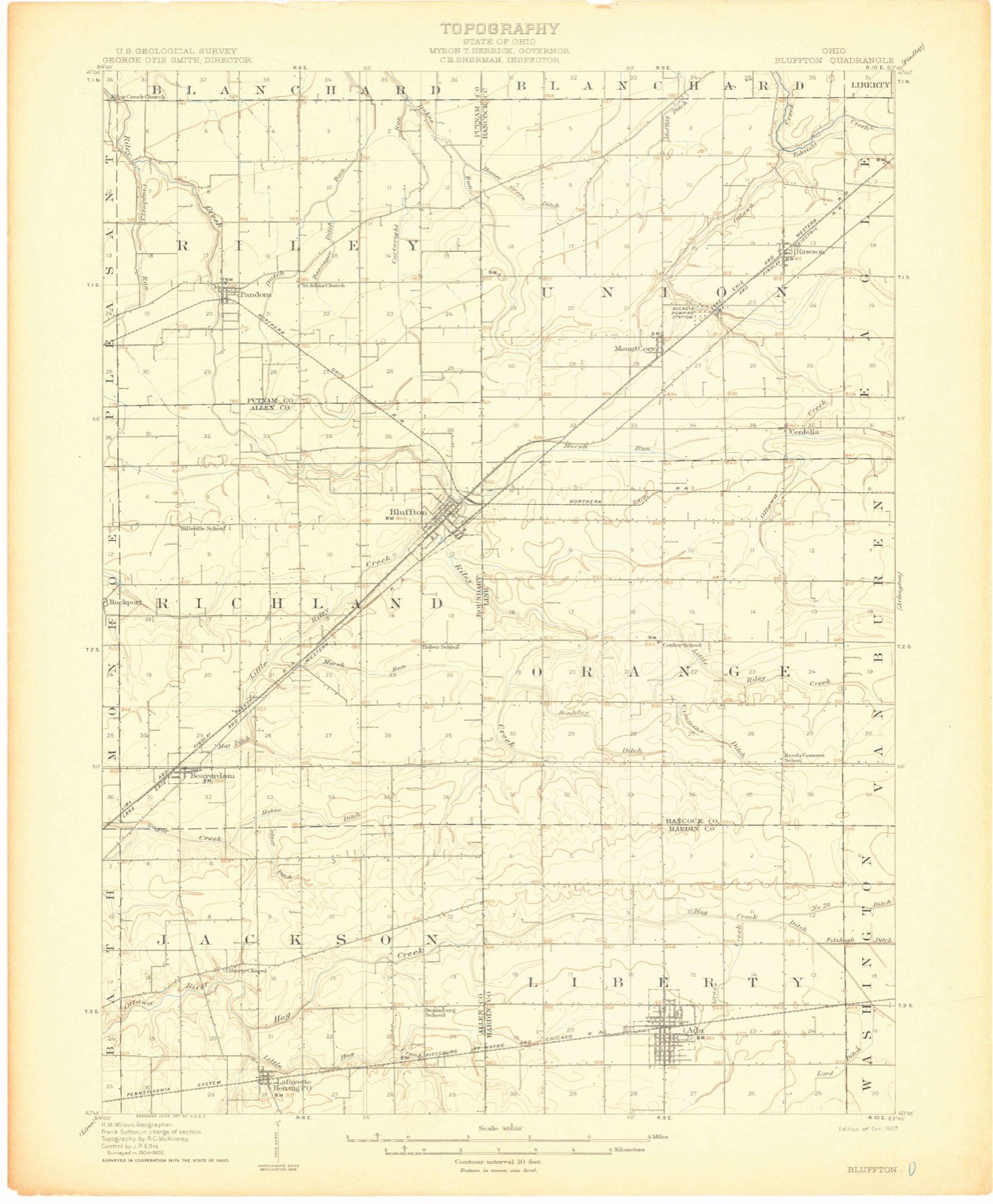
14 topographic sheets cover this place, the earliest surveyed in 1907 and the latest in 1986. It stands in Riley Township. It lies in ZIP code area 45877. The Survey maps it on the Bluffton quadrangle. 1,204 people lived here at the 2020 count. It stands 774 feet above sea level.
Population over time
2 figuresPandora grew from 1,153 to 1,204 between 2010 and 2020. These are the recorded population figures Wikidata holds for this place, reached through the Geographic Names Information System number this page is keyed on rather than by name, so they belong to this place and not to another of the same name. Most are census counts, but not all are: an early figure may be a founding or settlement estimate. The change column is computed, and is left blank where more than 20 years separate a figure from the one before it, because a gap that long is not a change between two counts.
| Year | People | Change |
|---|---|---|
| 2010 | 1,153 | |
| 2020 | 1,204 | +51 (+4%) |
Then and now
1907 to 1986The same ground, surveyed 79 years apart. Drag the handle to wipe between them. Both sheets are United States Geological Survey originals; neither has been altered.

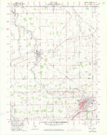
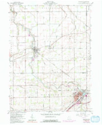
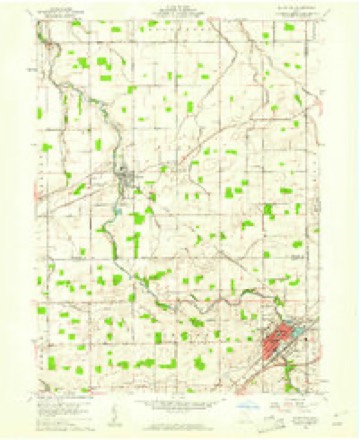
Topographic sheets covering this place
14 sheetsMatched by testing this settlement's coordinate against the published boundary of every sheet in the United States Geological Survey's historical collection. Each opens the scanned sheet at the Survey.
- 1907 USGS Bluffton quadrangle1:62500
- 1907 USGS Bluffton quadrangle1:62500
- 1907 USGS Bluffton quadrangle1:62500
- 1950 USGS Marion quadrangle1:250000
- 1960 USGS Bluffton quadrangle1:24000
- 1960 USGS Bluffton quadrangle1:24000
- 1960 USGS Bluffton quadrangle1:24000
- 1960 USGS Bluffton quadrangle1:24000
- 1962 USGS Marion quadrangle1:250000
- 1966 USGS Marion quadrangle1:250000
- 1966 USGS Marion quadrangle1:250000
- 1966 USGS Marion quadrangle1:250000
- 1986 USGS Marion quadrangle1:100000
- 1986 USGS Marion quadrangle1:100000








In the county-history sources
9,159 words on this townshipHistory of Putnam County, Ohio : Its Peoples, Industries, and Institutions, published 1915 names this settlement in its chapter on Riley Township. These are the passages that mention it, exactly as the scans read.
In 1882 the narrow gauge railroad, which has since become a standard gauge road and known as the Pittsburg, Akron & Western railroad, was proposed and constructed through the town. The same year Kiene and Suter laid out their addition to the town. The name of the town was again changed, this time to Pandora, and evidently the "third time charm" worked, for it has retained that name to the present time.
Passage source: History of Putnam County, Ohio : Its Peoples, Industries, and Institutions, published 1915.
The overall factory has been one of the greatest agents in making Pandora what it is at present. The history of this factory will appear in another paragraph. The population in 19 10 numbered five hundred and sixtytwo. It has paved streets, a modern high school, bank, and stores that rival any in the county. The Ohio & Northern railroad gives the people accommodations east and west. The Pandora Milling Company does quite an extensive business in this locality. The lumber and planing mills also employ a number of men and carry on a large business in their line. The present town officials are: Mayor, P A. Amstutz; clerk, Grover Davi'dson; treas-
Passage source: History of Putnam County, Ohio : Its Peoples, Industries, and Institutions, published 1915.
The Pandora Manufacturing Gompany, which was formerly called the Pandora Overall Company, was organized in August, 1 901, by the followmg men, who were not only the founders, but the first officers and directors: John M. Amstutz, president; John Gerber, vice-president; Jacob A. Suter, secretary and treasurer ; Albert A. Burry, Garl Gerber. It was capitalized at ten thousand dollars. Five thousand six hundred dollars of the stock was retained by the founders and the rest was sold to outsiders. In the fall of same year the plant was started, with six sewing machines. The minutes of the directors give the first purchase of raw material in October. The first overalls were made in a part of an old woolen mill, where the first six machines were installed.
Passage source: History of Putnam County, Ohio : Its Peoples, Industries, and Institutions, published 1915.
Machine-read from a century-old scan, so expect the errors a machine makes: misspelled names, dropped words, stray characters.
Read the whole chapter on Riley Township - it names this place 1 more 1 time.
Photographs
1 photograph,Taken for the Office of War Information and the Farm Security Administration, who photographed the country between 1935 and 1944. Works of United States government photographers, with no known restriction on use. Each opens its catalogue record.
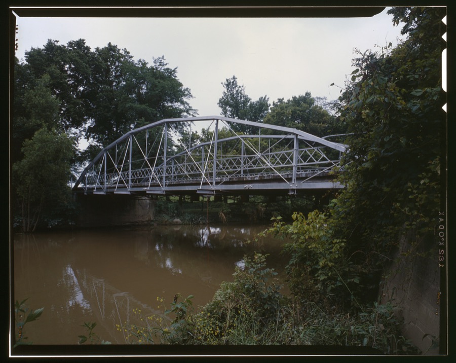
Unattributed, . Library of Congress
Fires near this place
2 since 2002Regional context, not property-specific evidence. The federal wildfire occurrence database lists 2 fires within 5 miles of Pandora between 2002 and 2002, burning about 1 acres in total. None started naturally. None was recorded as arson. Distance is straight-line from the map coordinates, so a fire counted here may appear on a neighbouring settlement's page as well.
| Reported cause | Fires |
|---|---|
| Equipment and vehicle use | 1 |
| Missing data/not specified/undetermined | 1 |
The most recent of them, most recent first, with the day each was reported and the service that recorded it.
| Date | Cause | Size | Reported by | Name on the report |
|---|---|---|---|---|
| 6 July 2002 | Missing data/not specified/undetermined | under an acre | Ohio State Fire Marshal's Office | not named |
| 18 October 2002 | Equipment and vehicle use | 1.0 acres | Ohio State Fire Marshal's Office | not named |
Settlements close enough to share some of these fires:
Specimens collected near this place
12 of 86 shownRegional context, not property-specific evidence. Museums hold 86 specimens collected within 10 miles of Pandora between 1860 and 1967: 77 Animalia, 8 Plantae, 1 Fungi. 12 distinct Species records are shown. Collected by Bureau of Fisheries, C. Nichols, , Beut. Coll., CLARENCE CLARK and others. Each is a physical object with a catalogue number, and each entry opens the museum's record. This is what was collected and kept, not a survey of what lives here - nothing can be concluded from a species being absent.
| Image | Species | Year | Collected by | Where, as recorded |
|---|---|---|---|---|
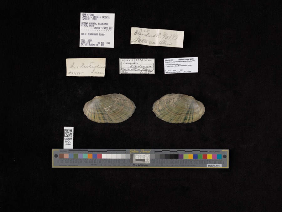 | Lampsilis radiata radiata (Gmelin, 1791) | 1893 | Bureau of Fisheries | Blanchard River |
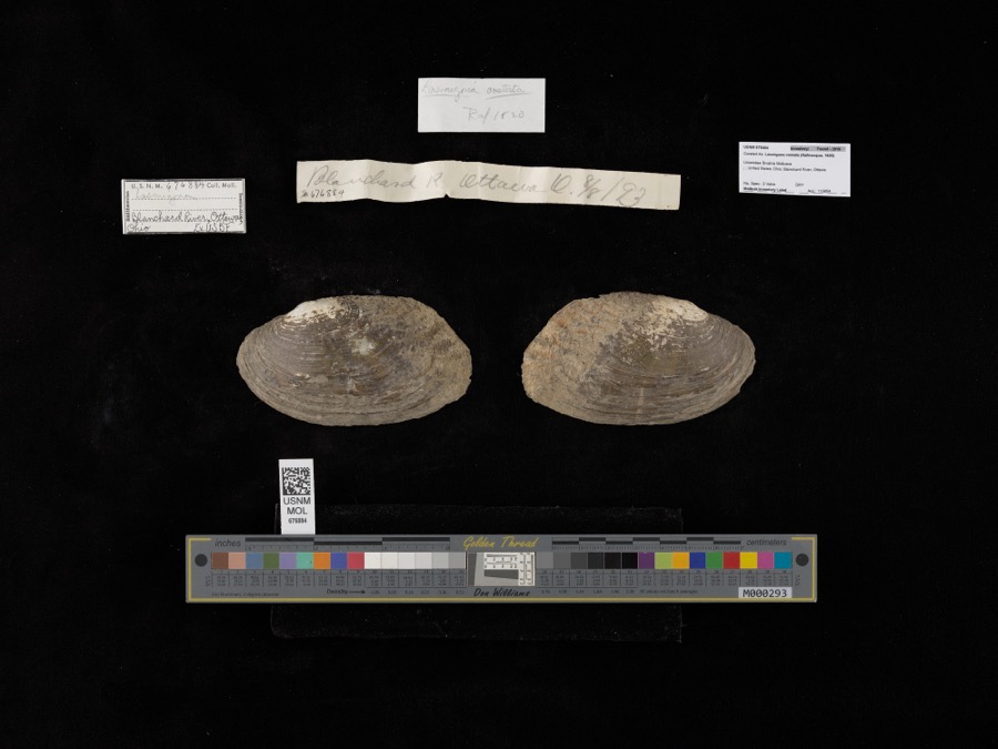 | Lasmigona costata (Rafinesque, 1820) | 1893 | not recorded | Blanchard River, Ottawa |
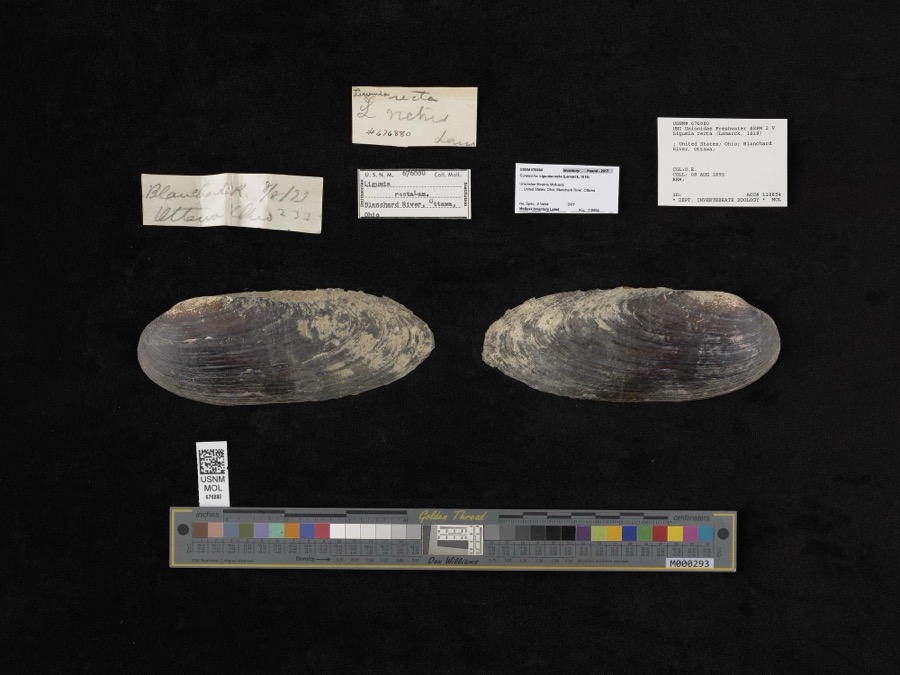 | Ligumia recta (Lamarck, 1819) | 1893 | O. E. | Blanchard River, Ottawa |
 | Hybopsis amblops (Rafinesque, 1820) | 1860 | unknown | Blanchard R. at Ottawa |
 | Botaurus lentiginosus (Rackett, 1813) | 1878 | not recorded | |
 | Calidris alpina (Linnaeus, 1758) | 1878 | Porter collection, J.B. | |
 | Calidris minutilla (Vieillot, 1819) | 1878 | Porter collection, J.B. | |
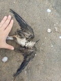 | Chlidonias niger (Linnaeus, 1758) | 1878 | Porter collection, J.B. | |
 | Gallinago gallinago (Linnaeus, 1758) | 1878 | Porter, J.B. | |
 | Gallinula chloropus (Linnaeus, 1758) | 1878 | Porter, J.B. | |
 | Sterna hirundo Linnaeus, 1758 | 1878 | Porter collection, J.B. | |
 | Botaurus Stephens, 1819 | 1879 | not recorded |
All 86 specimens within 10 miles, at the Global Biodiversity Information Facility.
Mines and quarries near this place
4 within 5 milesRegional context, not property-specific evidence. The federal mineral resources record lists 4 workings within 5 miles of Pandora: 2 past producers, 2 producers. 2 still produce. What was taken out: Limestone, General, Stone, Crushed/Broken. Distance is straight-line from the map coordinates, so a quarry counted here may appear on a neighbouring settlement's page as well.
| Where | Site | Commodity | Status | Recorded |
|---|---|---|---|---|
| Ottawa Stone Co Quarry | Stone, Crushed/Broken | Producer | ||
| Ottawa Stone Quarry | Limestone, General | Past Producer | Sedimentary | |
| Putnam Quarry | Limestone, General | Past Producer | Sedimentary | |
| Putnam Stone Co. | Stone, Crushed/Broken | Producer |
Storms near this place
18 since 1996Regional context, not property-specific evidence. The National Weather Service names Pandora in 18 storm reports between 1996 and 2023: 11 thunderstorm wind, 5 hail, 1 tornado, 1 flood. No death or injury is recorded in these reports. Each account below is quoted exactly as the forecast office filed it, from the NOAA Storm Events Database, and each date opens the federal record of that event.
| When | Event | Place named | Harm | What the report says |
|---|---|---|---|---|
| July 2002 | Thunderstorm Wind | Pandora | $580,000 | Emergency management reported straight line winds destroyed 3 gym walls and portion of an elementary school wall under construction in Pandora. Walls were cinder block. |
| June 2012 | Thunderstorm Wind | Pandora | $50,000 | A local newspaper reported a tree fell through a house near Pandora. In addition, the Bridenbaugh School house, north of Pandora, lost nearly half of its roof to the strong winds. |
| June 2000 | Tornado (F1) | Pandora | $40,000 | Significant damage to a barn. Minor crop damage and six fruit trees blown down in same location. |
| April 2023 | Thunderstorm Wind | Pandora | $10,000 | Three trees were downed along with a few power poles. |
| June 2006 | Thunderstorm Wind | Pandora | $10,000 | Several trees and power lines blown down. |
| July 1999 | Thunderstorm Wind | Pandora | $200 | Wind damage - trees downed. |
| July 2020 | Thunderstorm Wind | Pandora | - | EM reported a tree down in Pandora. Time estimated from radar. |
| April 2019 | Flood | Pandora | - | Riley creek overflowed its banks in the city of Pandora, with many roads being flooded. In addition, a football field, tennis court and baseball field were all damaged from the high water. |
| July 2002 | Thunderstorm Wind | Pandora | - | Emergency management reported trees down in Pandora. |
| July 2002 | Thunderstorm Wind | Pandora | - | Emergency management reported large tree fell onto driveway striking 3 family members. All 3 were treated and released from hospital. |
| June 2001 | Thunderstorm Wind | Pandora | - | Tree down. |
| July 1998 | Thunderstorm Wind | Pandora | - | SIDING AND SHINGLES BLOWN OFF HOME. |
| July 2017 | Hail | Pandora | - | no account filed |
| May 2006 | Hail | Pandora | - | no account filed |
| July 2000 | Hail | Pandora | - | no account filed |
| July 2000 | Hail | Pandora | - | no account filed |
| August 1997 | Hail | Pandora | - | no account filed |
| October 1996 | Thunderstorm Wind | Pandora | - | no account filed |
Nearest settlements
The eight closest, with where each one stands in the county. Distances are straight-line, computed from the Geographic Names Information System coordinates.
| Map | Place | Distance | Sheets |
|---|---|---|---|
| Spring Lake Village | 0.8 miles | 14 | |
| Gilboa | 5.3 miles | 9 | |
| Columbus Grove | 5.4 miles | 13 | |
| Upper Tauwa (historical) | 5.5 miles | 12 | |
| Ottawa | 6.7 miles | 12 | |
| Green Acres Estates | 7.7 miles | 12 | |
| Glandorf | 8.4 miles | 12 | |
| New Cleveland | 9.6 miles | 12 |
Elsewhere
Matched on this settlement's Geographic Names Information System number rather than its name, so it cannot be a different place of the same name in another state.
| Wikipedia article on Pandora | An encyclopaedic summary. Its text is share-alike, so it is linked here rather than copied. |
| Wikidata item Q386856 | The structured record the population and elevation above come from. Public domain (CC0). |
Provenance
This settlement is recorded in the Geographic Names Information System as feature 1085224. The sheet list is computed by point-in-boundary test against the United States Geological Survey's historical topographic inventory. Both are works of the United States government and carry no copyright under 17 U.S.C. 105.
Wildfire. Short, Karen C. 2022. Spatial wildfire occurrence data for the United States, 1992-2020 [FPA_FOD_20221014]. 6th Edition. Fort Collins, CO: Forest Service Research Data Archive. https://doi.org/10.2737/RDS-2013-0009.6 Collected with United States Government funding and usable without additional permissions or fees.
Specimens. Global Biodiversity Information Facility (GBIF), https://www.gbif.org/. Only records licensed CC0 or CC BY are used. Records licensed CC BY-NC are excluded because this site carries advertising. Images are checked individually and any whose licence is non-commercial, no-derivatives or unreadable is refused.
Mines and quarries. USGS Mineral Resources Data System (MRDS) https://mrdata.usgs.gov/mrds/ A work of the United States government, no copyright under 17 U.S.C. 105.
Storms. NOAA National Centers for Environmental Information, Storm Events Database https://www.ncei.noaa.gov/stormevents/ A work of the United States government, no copyright under 17 U.S.C. 105. Narratives are quoted verbatim from the National Weather Service report and are not edited or summarised.