 Block
Block
Concord, Ohio
12 topographic sheets cover this place, the earliest surveyed in 1953 and the latest in 1986. It stands in Greenville Township. It lies in ZIP code area 45331. It stands on Dividing Branch. The Survey maps it on the Greenville East quadrangle.
Then and now
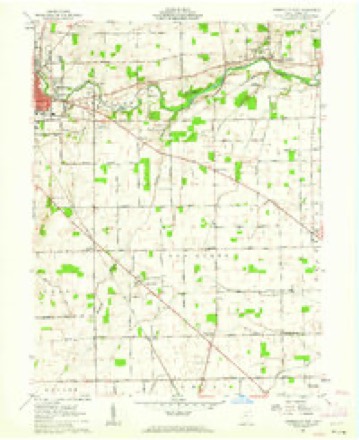
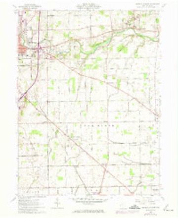
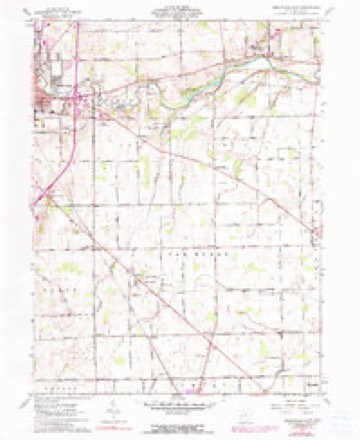
1953 to 1986The same ground, surveyed 33 years apart. Drag the handle to wipe between them. Both sheets are United States Geological Survey originals; neither has been altered.

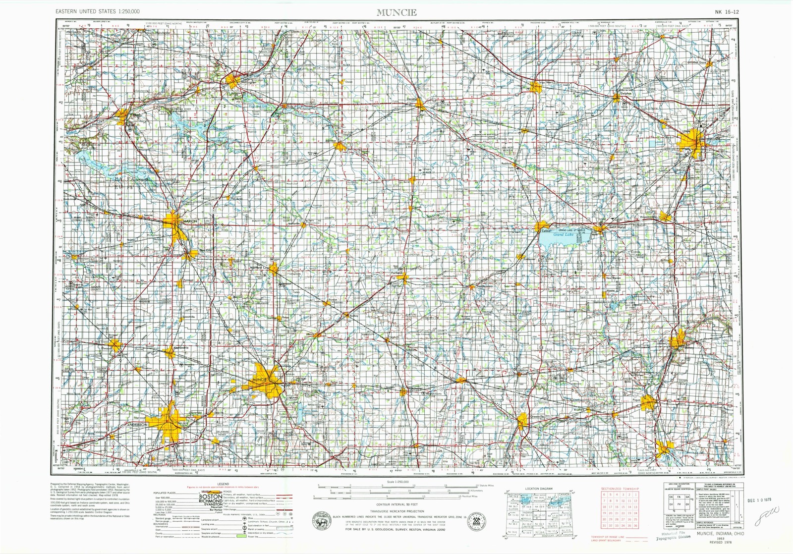
Topographic sheets covering this place
12 sheetsMatched by testing this settlement's coordinate against the published boundary of every sheet in the United States Geological Survey's historical collection. Each opens the scanned sheet at the Survey.
- 1953 USGS Muncie quadrangle1:250000
- 1953 USGS Muncie quadrangle1:250000
- 1953 USGS Muncie quadrangle1:250000
- 1953 USGS Muncie quadrangle1:250000
- 1953 USGS Muncie quadrangle1:250000
- 1956 USGS Muncie quadrangle1:250000
- 1961 USGS Greenville East quadrangle1:24000
- 1961 USGS Greenville East quadrangle1:24000
- 1961 USGS Greenville East quadrangle1:24000
- 1986 USGS Piqua quadrangle1:100000
- 1986 USGS Piqua quadrangle1:100000
- 1986 USGS Piqua quadrangle1:100000









In the county-history sources
167,840 words on this townshipThe History of Darke County, Ohio, Containing a History of the County; Its Cities, Towns, Etc.; General and Local Statistics; Portraits of Early Settlers and Prominent Men;, published 1880 names this settlement in its chapter on Greenville Township. These are the passages that mention it, exactly as the scans read.
The coal-fields of Ohio are composed of alternate beds of coarse-grained sandstone, clay shales, layers of ironstone, thin beds of limestone and numerous strata of coal. The coal region abounds in iron. From Jacktown to Concord, in Muskingum County, there are eight beds of coal, and seven strata of limestone. The distance between these two points is forty-two miles. From Freedom, in Portage County, to Poland, in Trumbull County, a distance of thirty-five miles, there are five distinct strata. Among them are distributed thin beds of limestone, and many beds of iron ore. The greater mass of coal and iron measures is composed of sandstone and shale. The beds of sandstone are from ten to twenty or eighty feet thick. Of shale, five to fifty feet thick. The strata of coal and iron are comparatively thin. A stratum of coal three feet thick can be worked to advantage. One four feet thick is called a good mine, few of them averaging five. Coal strata are found from six to ten and eleven feet. There are four beds of coal, and three of limestone, in Lawrence and Scioto Counties. There are also eight beds of ore, and new ones are constantly being discovered. The ore is from four to twelve inches thick, occasionally being two feet. The calcareous ore rests upon the second bed of limestone, from the bottom, and is very rich.
Passage source: The History of Darke County, Ohio, Containing a History of the County; Its Cities, Towns, Etc.; General and Local Statistics; Portraits of Early Settlers and Prominent Men;, published 1880.
About the same year, Abraham Sneethen preached a sermon in Greenville, and Henry Arnold speaks of it as the first he had heard in this county. Among other pioneer preachers of the Christian denomination were Isaac- Main, John Foster and William Polly. The Baptists formed a society at an early date and erected a house of worship - evidence of members and influence. The Presbyte rians delayed organization until 1818, when Rev. Shannon who had seined as chaplain in one of Harrison's Kentuclcy regiments, ^preached at the residence of Mr. Martin, father of John H. Martin. Early history of Methodism in Darke County has mainly to do with the circuit riders, elders and churches. The record of Methodism during the early 3-ears of settlement is meager. The first Methodist minister that visited this county was Rev. John Brown in 1817, and the year following John P. Durbin (since Corresponding Secretary of the American Missionary Society) preached on what was then known as the Baton Circuit. It was extensive in area, embracing appointments at Camden and Eaton in Preble County ; Greenville and Siller's in Darke County, Covington, in .Miami County, and Union, Concord and Germantown in Montgomery County, besides parts of Wayne and Randolph in Indiana. The pioneer meeting-house of the county was erected by the Methodist society in 1818, and is yet standing upon its original site, about four miles west of Greenville and a half-mile south of Winchester turnpike. Great pains were taken with this rude sanctuary in its construction. Its walls were of hewed logs, and the work when completed was considered excellent. The pulpit, made of rough boards, and two or three slab seats, are still in existence. The roof was originally of the old well known cabin style, but has since been renewed and bears a more modern covering. The old house itself has been kept in such repair that it served for the accommodation of the people on funeral occasions. The dedicator}' sermon for this old landmark of religion was preached by Rev. Durbin, and the following Presiding Elders severally held within its door their quarterly meetings : Alexander Cummins, John Strange, John Collins, J. B. Finley, John F. Wright, William H. Raper and William B. Christie. The first quarterly meeting for the Greenville Circuit of 1S17 was held at Greenville in the private dwelling of John Dunn by Elder Moses Crume. Rev. Durbin preached at the house of A. Scribner and his teaching seems to have been salutary in its effect upon the community. Soon the limits of the circuit were diminished and regular preaching was discontinued until 1833, although during this interval, sermons were occasionally delivered at the court house, dwelling-houses, and such other places as could be procured for that purpose. The want of houses of worship gave rise to the custom of holding camp-meetings and other religious assemblages in the open air. This was resorted to by the different denominations, and drew large crowds, but sometimes the good results were counterbalanced by the rowdying ruffianism that intruded itself. The yearly Dunker meetings were rarely disturbed. The peculiar methods of the sect, their generosity in feeding the multitude, chiefly upon soups, had much to do, no doubt, in securing the order that so generally prevailed at their meetings.
Passage source: The History of Darke County, Ohio, Containing a History of the County; Its Cities, Towns, Etc.; General and Local Statistics; Portraits of Early Settlers and Prominent Men;, published 1880.
Machine-read from a century-old scan, so expect the errors a machine makes: misspelled names, dropped words, stray characters.
Specimens collected near this place
12 of 479 shownRegional context, not property-specific evidence. Museums hold 479 specimens collected within 10 miles of Concord between 1838 and 1975: 458 Animalia, 14 Fungi, 7 Plantae. 12 distinct Species records are shown. Collected by A VERWYST, A. F. C.; Stover, W. G., Albrecht, C. and others. Each is a physical object with a catalogue number, and each entry opens the museum's record. This is what was collected and kept, not a survey of what lives here - nothing can be concluded from a species being absent.
| Image | Species | Year | Collected by | Where, as recorded |
|---|---|---|---|---|
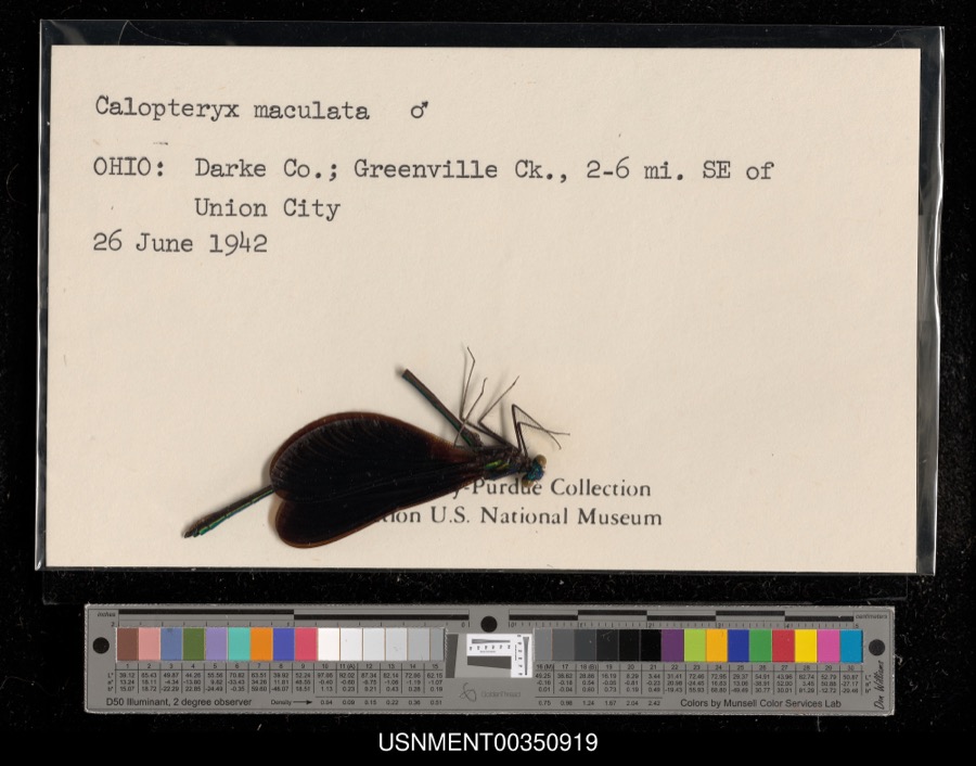 | Calopteryx maculata (Palisot de Beauvois, 1807) | 1942 | [Not Stated] | Greenville Creek, 2-6 miles southeast of Union City |
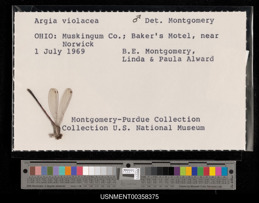 | Argia fumipennis violacea (Hagen, 1861) | 1969 | B. Montgomery, L. Alward & P. Alward | Baker's Motel, near Norwick |
 | Callitriche palustris L. | 1838 | Short, C.W. | Lexington, Kentucky. |
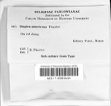 | Dispira americana Thaxt. | 1895 | Rush W. H. | Greenville |
 | Etheostoma caeruleum Storer, 1845 | 1905 | Clark, C. F. (Clarence F.) | Prairie Outlet, Sec 28 of Neave township, ~0.3 mi NE of Wayne Lakes Park, Neave township |
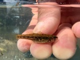 | Etheostoma microperca Jordan & Gilbert, 1888 | 1905 | Clark, C. F. (Clarence F.) | Prairie Outlet, Sec 28 of Neave township, ~0.3 mi NE of Wayne Lakes Park, Neave township |
 | Clitocybe multiceps Peck | 1906 | H.J. Brememan | Greenville |
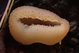 | Peziza vesiculosa Bull. | 1907 | Lucas, C | Greenville |
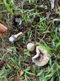 | Amanita phalloides (Vaill. ex Fr.) Secr. | 1909 | A. F. C.; Stover, W. G. | Greenville |
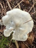 | Clitocybe odora (Bull.) P.Kumm. | 1909 | Stover, W. G. | Greenville |
 | Panaeolus solidipes (Peck) Sacc. | 1909 | Stover, W. G. | Greenville |
 | Fomes lobatus Cooke | 1911 | Overholts L. O. | Gettysburg |
All 479 specimens within 10 miles, at the Global Biodiversity Information Facility.
Mines and quarries near this place
4 within 5 milesRegional context, not property-specific evidence. The federal mineral resources record lists 4 workings within 5 miles of Concord: 2 past producers, 2 producers. 2 still produce. What was taken out: Clay, Sand and Gravel, Construction. Distance is straight-line from the map coordinates, so a quarry counted here may appear on a neighbouring settlement's page as well.
| Where | Site | Commodity | Status | Recorded |
|---|---|---|---|---|
| Darke County Pit | Clay | Past Producer | Sedimentary | |
| Darke County Pit | Clay | Producer | ||
| Feitshans Pit | Sand and Gravel, Construction | Past Producer | Sedimentary | |
| Feitshans Pit | Sand and Gravel, Construction | Producer |
Nearest settlements
The eight closest, with where each one stands in the county. Distances are straight-line, computed from the Geographic Names Information System coordinates.
| Map | Place | Distance | Sheets |
|---|---|---|---|
| Poplar Ridge | 1.9 miles | 12 | |
| Bears Mill | 2.6 miles | 12 | |
| Jaysville | 2.8 miles | 12 | |
| Greenville | 3.1 miles | 12 | |
| Nineveh | 3.1 miles | 12 | |
| Saint John (historical) | 3.3 miles | 12 | |
| Abbottsville | 3.4 miles | 12 | |
| New Harrison | 3.7 miles | 12 |
Provenance
This settlement is recorded in the Geographic Names Information System as feature 1048623. The sheet list is computed by point-in-boundary test against the United States Geological Survey's historical topographic inventory. Both are works of the United States government and carry no copyright under 17 U.S.C. 105.
Specimens. Global Biodiversity Information Facility (GBIF), https://www.gbif.org/. Only records licensed CC0 or CC BY are used. Records licensed CC BY-NC are excluded because this site carries advertising. Images are checked individually and any whose licence is non-commercial, no-derivatives or unreadable is refused.
Mines and quarries. USGS Mineral Resources Data System (MRDS) https://mrdata.usgs.gov/mrds/ A work of the United States government, no copyright under 17 U.S.C. 105.