 Block
Block
Greenville, Ohio
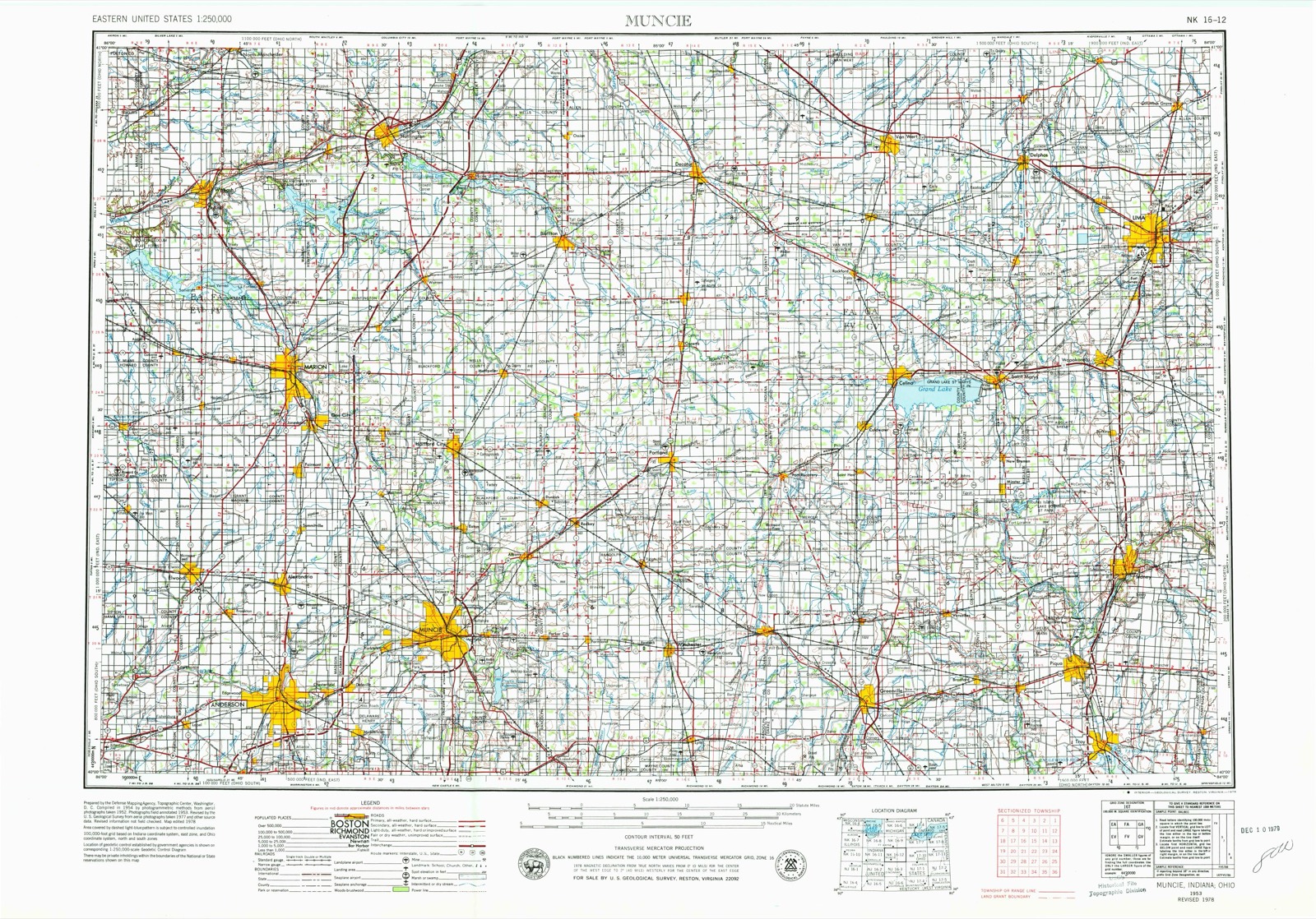
12 topographic sheets cover this place, the earliest surveyed in 1953 and the latest in 1986. It stands in Greenville Township. It lies in ZIP code area 45331. It stands on Mud Creek. The Survey maps it on the Greenville West quadrangle. 12,786 people lived here at the 2020 count. It stands 1,043 feet above sea level.
Research this city
This curated hub for Darke County, Ohio brings together the page's documented record links, visible map or image evidence where published, and routes to related local records.
What is documented here?
Use the page's provenance and linked records to distinguish the source material from the site's navigation and summaries.
How should I cite it?
Open the original record, preserve its repository and identifier, then use the citation tool for this page as a path back to the source.
Where should I go next?
Follow the county or state hub for related places and records, then use the guide for a source-aware research sequence.
Population over time
2 figuresGreenville fell from 13,227 to 12,786 between 2010 and 2020. These are the recorded population figures Wikidata holds for this place, reached through the Geographic Names Information System number this page is keyed on rather than by name, so they belong to this place and not to another of the same name. Most are census counts, but not all are: an early figure may be a founding or settlement estimate. The change column is computed, and is left blank where more than 20 years separate a figure from the one before it, because a gap that long is not a change between two counts.
| Year | People | Change |
|---|---|---|
| 2010 | 13,227 | |
| 2020 | 12,786 | -441 (-3%) |
Then and now
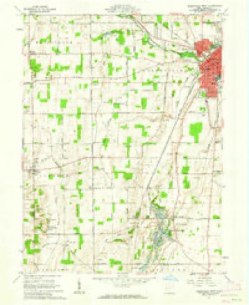
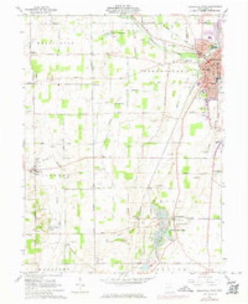
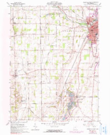
1953 to 1986The same ground, surveyed 33 years apart. Drag the handle to wipe between them. Both sheets are United States Geological Survey originals; neither has been altered.

Topographic sheets covering this place
12 sheetsMatched by testing this settlement's coordinate against the published boundary of every sheet in the United States Geological Survey's historical collection. Each opens the scanned sheet at the Survey.
- 1953 USGS Muncie quadrangle1:250000
- 1953 USGS Muncie quadrangle1:250000
- 1953 USGS Muncie quadrangle1:250000
- 1953 USGS Muncie quadrangle1:250000
- 1953 USGS Muncie quadrangle1:250000
- 1956 USGS Muncie quadrangle1:250000
- 1961 USGS Greenville West quadrangle1:24000
- 1961 USGS Greenville West quadrangle1:24000
- 1961 USGS Greenville West quadrangle1:24000
- 1986 USGS Piqua quadrangle1:100000
- 1986 USGS Piqua quadrangle1:100000
- 1986 USGS Piqua quadrangle1:100000









In the county-history sources
167,840 words on this townshipThe History of Darke County, Ohio, Containing a History of the County; Its Cities, Towns, Etc.; General and Local Statistics; Portraits of Early Settlers and Prominent Men;, published 1880 names this settlement in its chapter on Greenville Township. These are the passages that mention it, exactly as the scans read.
Darke County was organized in March, 1817, from Miami County. It is abundantly timbered with poplar, walnut, blue ash, hickory, beech and sugar maple. It yields superior wheat, and is well adapted to grazing. In this county occurred the lamentable defeat of St. Clair, and the treaty of Greenville.
Passage source: The History of Darke County, Ohio, Containing a History of the County; Its Cities, Towns, Etc.; General and Local Statistics; Portraits of Early Settlers and Prominent Men;, published 1880.
Greenville is the county seat, and was laid out August 10, 1808, by Robert Gray and John Dover. In December, 1793, Wayne built Fort Greenville on this spot, which covered about the same extent as the present town.
Passage source: The History of Darke County, Ohio, Containing a History of the County; Its Cities, Towns, Etc.; General and Local Statistics; Portraits of Early Settlers and Prominent Men;, published 1880.
Logan County was formed March 1, 1817. The surface is broken and hilly near the Mad River, but is generally level. The soil is fertile, producing wheat, corn, rye, oats, clover, flax and timothy seed. The Shawnee Indians were located here, and built several villages on the Mad River. These towns were destroyed in 1786, by a body of Kentuckians, under Gen. Benjamin Logan. The whites surprised the towns. However, they returned after the work of destruction had been completed, and for many years frequented the section. On the site of Zanesville was a Wyandot village. By the treaty of September 29, 1817, the Senecas and Shawnees held a reservation around Lewistown. April 6, 1832, they vacated this right and removed west. Isaac Zane was born about the year 1753, and was, while a boy, captured and afterward adopted by the Wyandots. Attaining the age of manhood, he had no desire to return to his people. He married a Wyandot woman, who was half French. After the treaty of Greenville, he bought 1,800 acres on the site of Zanesville, where he lived until the year 1816, when he died, lamented by all his friends.
Passage source: The History of Darke County, Ohio, Containing a History of the County; Its Cities, Towns, Etc.; General and Local Statistics; Portraits of Early Settlers and Prominent Men;, published 1880.
Machine-read from a century-old scan, so expect the errors a machine makes: misspelled names, dropped words, stray characters.
Read the whole chapter on Greenville Township - it names this place 284 more 284 times.
Specimens collected near this place
12 of 484 shownRegional context, not property-specific evidence. Museums hold 484 specimens collected within 10 miles of Greenville between 1895 and 1975: 452 Animalia, 18 Plantae, 14 Fungi. 12 distinct Species records are shown. Collected by A VERWYST, A. F. C.; Stover, W. G., Albrecht, C. and others. Each is a physical object with a catalogue number, and each entry opens the museum's record. This is what was collected and kept, not a survey of what lives here - nothing can be concluded from a species being absent.
| Image | Species | Year | Collected by | Where, as recorded |
|---|---|---|---|---|
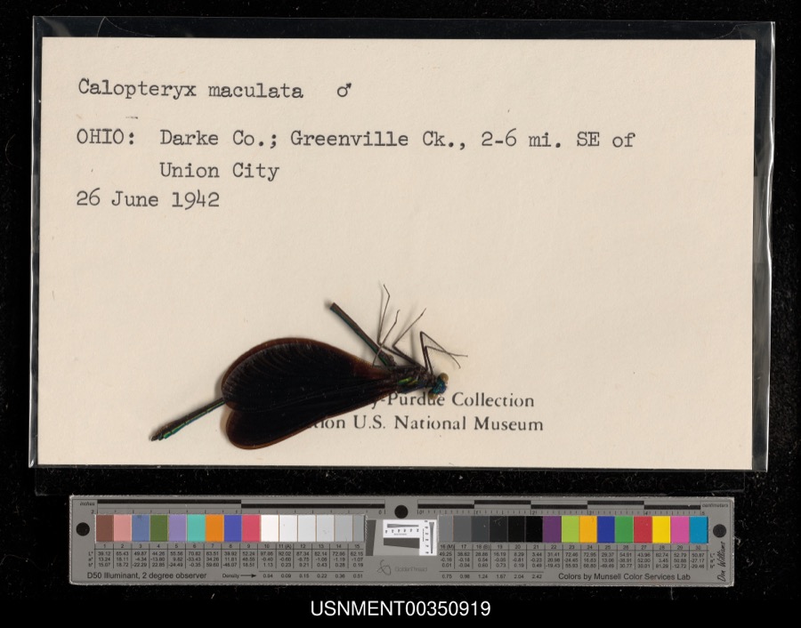 | Calopteryx maculata (Palisot de Beauvois, 1807) | 1942 | [Not Stated] | Greenville Creek, 2-6 miles southeast of Union City |
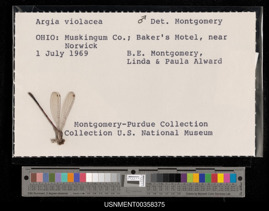 | Argia fumipennis violacea (Hagen, 1861) | 1969 | B. Montgomery, L. Alward & P. Alward | Baker's Motel, near Norwick |
 | Dispira americana Thaxt. | 1895 | Rush W. H. | Greenville |
 | Etheostoma caeruleum Storer, 1845 | 1905 | Clark, C. F. (Clarence F.) | Prairie Outlet, Sec 28 of Neave township, ~0.3 mi NE of Wayne Lakes Park, Neave township |
 | Etheostoma microperca Jordan & Gilbert, 1888 | 1905 | Clark, C. F. (Clarence F.) | Prairie Outlet, Sec 28 of Neave township, ~0.3 mi NE of Wayne Lakes Park, Neave township |
 | Clitocybe multiceps Peck | 1906 | H.J. Brememan | Greenville |
 | Peziza vesiculosa Bull. | 1907 | Lucas, C | Greenville |
 | Amanita phalloides (Vaill. ex Fr.) Secr. | 1909 | A. F. C.; Stover, W. G. | Greenville |
 | Clitocybe odora (Bull.) P.Kumm. | 1909 | Stover, W. G. | Greenville |
 | Panaeolus solidipes (Peck) Sacc. | 1909 | Stover, W. G. | Greenville |
 | Fomes lobatus Cooke | 1911 | Overholts L. O. | Gettysburg |
 | Macrolepiota procera (Scop.) Singer | 1911 | Overholts | Gettysburg |
All 484 specimens within 10 miles, at the Global Biodiversity Information Facility.
Mines and quarries near this place
5 within 5 milesRegional context, not property-specific evidence. The federal mineral resources record lists 5 workings within 5 miles of Greenville: 3 producers, 2 past producers. 3 still produce. What was taken out: Sand and Gravel, Construction, Clay. Distance is straight-line from the map coordinates, so a quarry counted here may appear on a neighbouring settlement's page as well.
| Where | Site | Commodity | Status | Recorded |
|---|---|---|---|---|
| Darke County Pit | Clay | Past Producer | Sedimentary | |
| Darke County Pit | Clay | Producer | ||
| Feitshans Pit | Sand and Gravel, Construction | Past Producer | Sedimentary | |
| Feitshans Pit | Sand and Gravel, Construction | Producer | ||
| Fourmans Gravel Pit | Sand and Gravel, Construction | Producer |
Storms near this place
60 of 65 shownRegional context, not property-specific evidence. The National Weather Service names Greenville in 65 storm reports between 1994 and 2026: 31 thunderstorm wind, 18 hail, 9 flood, 4 flash flood. No death or injury is recorded in these reports. Each account below is quoted exactly as the forecast office filed it, from the NOAA Storm Events Database, and each date opens the federal record of that event.
| When | Event | Place named | Harm | What the report says |
|---|---|---|---|---|
| May 2002 | Thunderstorm Wind | Greenville | $100,000 | Several mobile homes in the Sherwood Forest Trailer Park suffered severe damage, and a nearby 10' by 12' shed was destroyed. The roof of a home on Hog Path Road was torn off. |
| July 2003 | Thunderstorm Wind | Greenville | $25,000 | Numerous large trees were knocked down. Three homes on Oliver Road sustained structural damage, likely from a microburst. |
| July 2023 | Thunderstorm Wind | Greenville | $20,000 | Numerous trees were downed throughout the county, especially in the Greenville area. |
| April 2010 | Lightning | Greenville | $20,000 | There were several reports of damage and structural fires due to lightning across the county. |
| June 1995 | Thunderstorm Wind | Greenville | $15,000 | Several trees downed, some onto an automobile. |
| September 2024 | Thunderstorm Wind | Greenville | $12,000 | Several trees and power lines were downed in the Greenville area. |
| July 2013 | Thunderstorm Wind | Greenville | $10,000 | A large tree fell on a house due to thunderstorm winds. |
| September 2011 | Thunderstorm Wind | Greenville | $10,000 | Numerous trees were down and a roof was removed from a barn due to damaging thunderstorm winds. |
| October 2010 | Thunderstorm Wind | Greenville | $10,000 | Several trees, power poles, and power lines were reported down across the southern half of the county. |
| September 2000 | Thunderstorm Wind | Greenville | $10,000 | Large limbs and power lined knocked down. |
| June 1998 | Tornado (F0) | Greenville | $10,000 | A brief tornado touchdown produced downed power lines and damaged a camper. Also, 1 home received minor structural damage. |
| July 1998 | Thunderstorm Wind | Greenville | $10,000 | Numerous trees downed. |
| July 1998 | Thunderstorm Wind | Greenville | $10,000 | Numerous trees downed. |
| January 2017 | Thunderstorm Wind | Greenville | $8,000 | Numerous trees and power lines were downed across Darke County, especially in the vicinity of Greenville, New Madison and Pitsburg. |
| May 2022 | Thunderstorm Wind | Greenville | $6,000 | Several trees were downed in the Greenville area. |
| March 2011 | Flood | Greenville | $5,000 | Roads were flooded due to heavy rainfall. |
| March 2011 | Flood | Greenville | $5,000 | High water was reported on roads and some roads were closed due to heavy rainfall and previous snow melt. Flooding began around 0749 EST on February 28th and continued until around 1100 EST on March 1st. Damage estimates during February were around five-thousand dollars. |
| February 2011 | Flood | Greenville | $5,000 | High water was reported on roads and some of the roads were closed due to heavy rainfall and previous snow melt. Flooding began around 0749 EST on February 28th and continued until around 1100 EST on March 1st. Damage estimates during March were around five-thousand dollars. |
| August 2007 | Thunderstorm Wind | Greenville | $5,000 | Numerous large tree limbs were downed. |
| March 2007 | Flood | Greenville | $5,000 | Several roads were flooded across the county. |
| March 2007 | Flood | Greenville | $5,000 | Several roads were flooded and closed. Sandbagging was necessary around residences near Gettysburg in the vicinity of Greenville Creek. |
| May 1994 | Thunderstorm Wind | Greenville | $5,000 | Winds measured at 62 mph with some tree limbs downed. |
| April 2026 | Thunderstorm Wind | Greenville | $3,000 | A few trees were downed. |
| July 2014 | Thunderstorm Wind | Greenville | $3,000 | Several trees were downed due to thunderstorm winds. |
| July 2012 | Thunderstorm Wind | Greenville | $3,000 | Trees were reported down in the area due to damaging thunderstorm winds. |
| December 2006 | Flood | Greenville | $3,000 | Several roads were flooded near the Stillwater River in eastern Darke county. |
| August 2005 | Thunderstorm Wind | Greenville | $3,000 | A circus tent at the county fair was blown over. |
| June 2004 | Thunderstorm Wind | Greenville | $3,000 | Six power poles were knocked down. |
| April 2003 | Thunderstorm Wind | Greenville | $3,000 | Power poles were downed in town. |
| August 2003 | Thunderstorm Wind | Greenville | $3,000 | Trees were knocked down. |
| June 1998 | Thunderstorm Wind | Greenville | $3,000 | Trees downed. |
| June 1998 | Thunderstorm Wind | Greenville | $3,000 | Trees downed. |
| June 2010 | Flash Flood | Greenville | $2,000 | Three feet of water was reported to be over Sater Street due to heavy rainfall. |
| November 2002 | Thunderstorm Wind | Greenville | $2,000 | Numerous trees were downed between Greenville and Ansonia. |
| March 2026 | Thunderstorm Wind | Greenville | $1,000 | A large tree was downed. |
| August 2014 | Thunderstorm Wind | Greenville | $1,000 | One tree was knocked down. |
| June 2012 | Thunderstorm Wind | Greenville | $1,000 | Large limbs were downed due to thunderstorm winds. The wind gust was estimated by the spotter. |
| April 2011 | Heavy Rain | Greenville | $1,000 | A couple of roads were covered with high water. |
| June 2010 | Thunderstorm Wind | Greenville | $1,000 | Two trees were reported down due to damaging thunderstorm winds. |
| June 2010 | Flood | Greenville | $1,000 | High water was still occurring over area roadways due to earlier flash flooding. |
| June 2016 | Thunderstorm Wind | Greenville | $500 | A couple of large limbs were knocked down. |
| March 2020 | Flash Flood | Greenville | - | High water was reported on numerous roads throughout the county. |
| February 2019 | Flood | Greenville | - | Numerous roads were flooded throughout the county, specifically near Greenville, Versailles and Gettysburg, as well as north of Palastine. |
| December 2013 | Flood | Greenville | - | State Route 502 west of Greenville was closed in both directions due to high water caused by earlier heavy rainfall. |
| May 2004 | Flash Flood | Greenville | - | Two roads were flooded and closed in the southern part of the county. |
| August 2001 | Flash Flood | Greenville | - | Heavy rainfall flooded roads. |
| May 2000 | Hail | Greenville | - | Hail as large as baseballs fell across the county for the second time in 90 minutes. This time the hail fell over a populated area causing damage to many cars, including 2 car lots. |
| May 2024 | Hail | Greenville | - | no account filed |
| June 2021 | Hail | Greenville | - | no account filed |
| May 2014 | Hail | Greenville | - | no account filed |
| May 2014 | Hail | Greenville | - | no account filed |
| September 2012 | Hail | Greenville | - | no account filed |
| March 2012 | Hail | Greenville | - | no account filed |
| March 2011 | Hail | Greenville | - | no account filed |
| March 2011 | Hail | Greenville | - | no account filed |
| May 2011 | Hail | Greenville | - | no account filed |
| May 2011 | Hail | Greenville | - | no account filed |
| May 2011 | Hail | Greenville | - | no account filed |
| September 2011 | Hail | Greenville | - | no account filed |
| June 2005 | Hail | Greenville | - | no account filed |
Newspapers printed here
0 digitised pages1 paper published in this town, digitised by the Library of Congress and free to read: 0 issues, 0 pages. Every page is searchable, so a name or a street can be looked for directly in what the town printed about itself at the time.
| Newspaper | Published |
|---|---|
| The Greenville Journal | 1850 to 1918 |
What the paper printed
16,811 wordsFront pages of the local paper, read from the Library of Congress scans: 6 issues spread across its run from 1907 to 1918, 16,811 words in total. Each is reproduced on its own page, exactly as the recogniser returned it.
These pages read less well than anything else here, and the number is worth stating: about three words in four come through cleanly, against nine in ten for the building records. An 1896 broadsheet sets eight-point type in seven columns on microfilm, which is the hardest thing in this archive to read by machine. We tested our own recognisers against the Library's and they were not better, so the Library's text is what appears, with the wholly unreadable columns removed. Read it as a guide to what the paper covered, and follow the link to the scan before quoting anything.
| Issue | Paper | Length |
|---|---|---|
| 1907-01-03 | The Greenville Journal | 4,021 words |
| 1907-03-14 | The Greenville Journal | 589 words |
| 1907-05-30 | The Greenville Journal | 3,905 words |
| 1907-08-08 | The Greenville Journal | 3,375 words |
| 1907-10-24 | The Greenville Journal | 4,281 words |
| 1918-06-27 | The Greenville Journal | 640 words |
Nearest settlements
The eight closest, with where each one stands in the county. Distances are straight-line, computed from the Geographic Names Information System coordinates.
| Map | Place | Distance | Sheets |
|---|---|---|---|
| Saint John (historical) | 2.7 miles | 12 | |
| Wakefield | 2.9 miles | 12 | |
| Concord | 3.1 miles | 12 | |
| Mount Heron | 3.8 miles | 11 | |
| Frys Corners | 3.8 miles | 12 | |
| Mount Pleasant (historical) | 4.0 miles | 12 | |
| Jaysville | 4.2 miles | 12 | |
| Coletown | 4.3 miles | 11 |
Elsewhere
Matched on this settlement's Geographic Names Information System number rather than its name, so it cannot be a different place of the same name in another state.
| Wikipedia article on Greenville | An encyclopaedic summary. Its text is share-alike, so it is linked here rather than copied. |
| Wikidata item Q763080 | The structured record the population and elevation above come from. Public domain (CC0). |
Provenance
This settlement is recorded in the Geographic Names Information System as feature 1064762. The sheet list is computed by point-in-boundary test against the United States Geological Survey's historical topographic inventory. Both are works of the United States government and carry no copyright under 17 U.S.C. 105.
Specimens. Global Biodiversity Information Facility (GBIF), https://www.gbif.org/. Only records licensed CC0 or CC BY are used. Records licensed CC BY-NC are excluded because this site carries advertising. Images are checked individually and any whose licence is non-commercial, no-derivatives or unreadable is refused.
Mines and quarries. USGS Mineral Resources Data System (MRDS) https://mrdata.usgs.gov/mrds/ A work of the United States government, no copyright under 17 U.S.C. 105.
Storms. NOAA National Centers for Environmental Information, Storm Events Database https://www.ncei.noaa.gov/stormevents/ A work of the United States government, no copyright under 17 U.S.C. 105. Narratives are quoted verbatim from the National Weather Service report and are not edited or summarised.