 Block
Block
Cow Run, Ohio
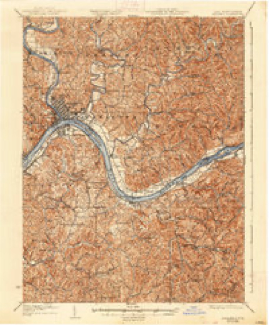
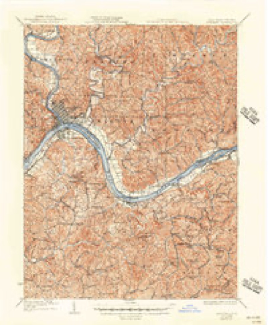
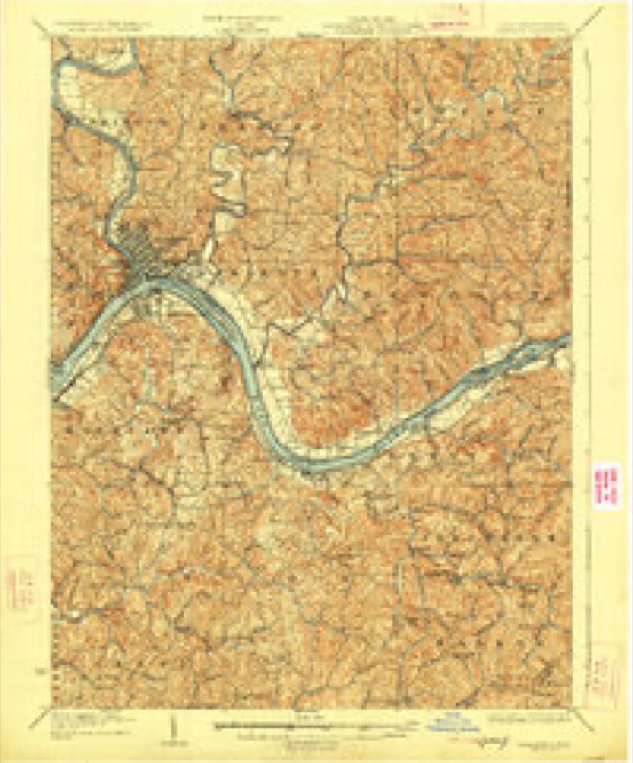
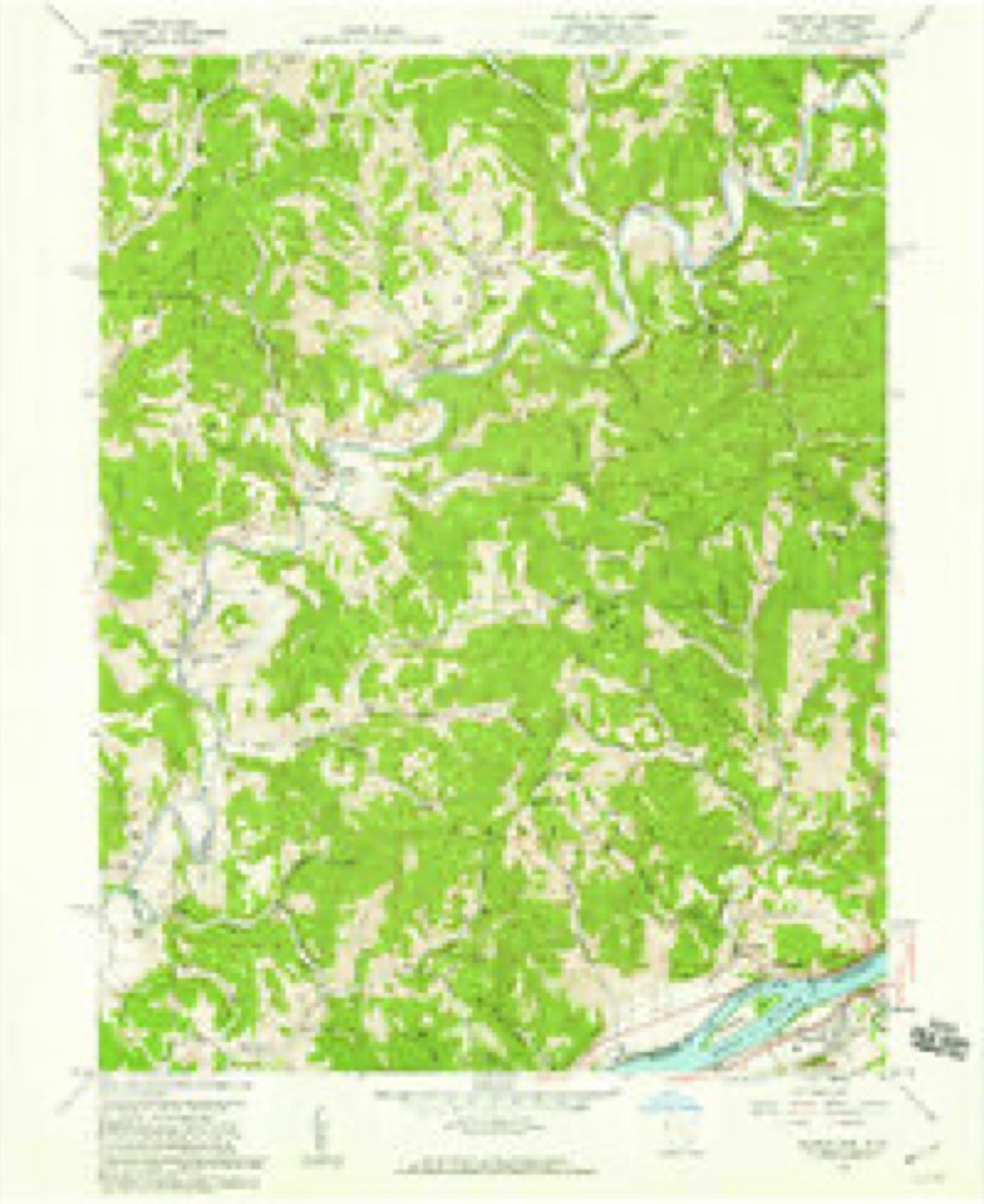
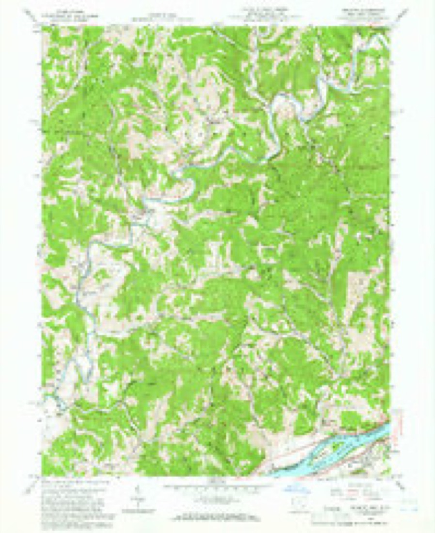
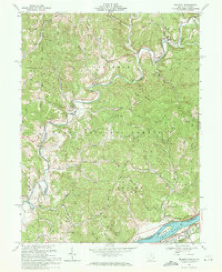
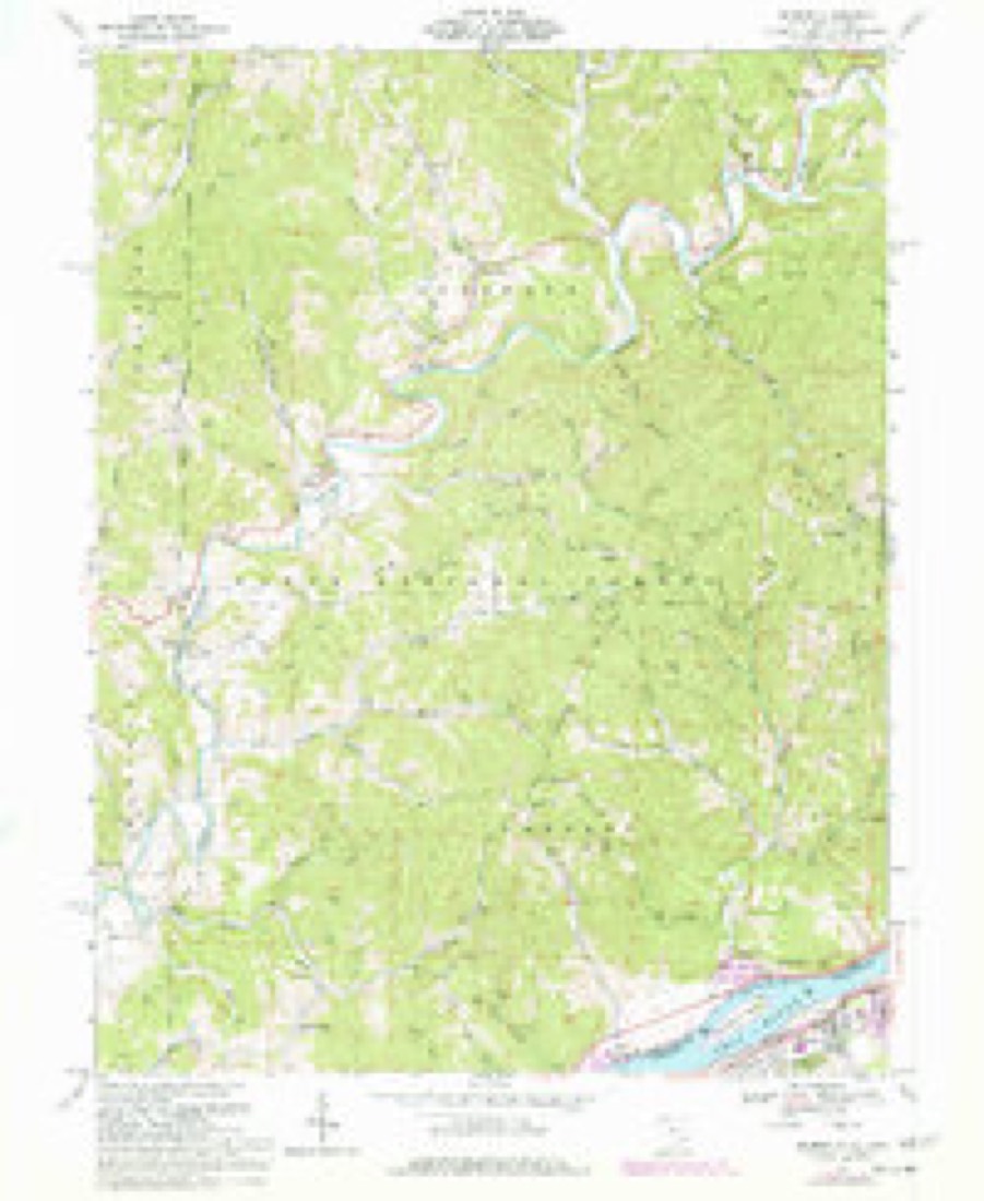
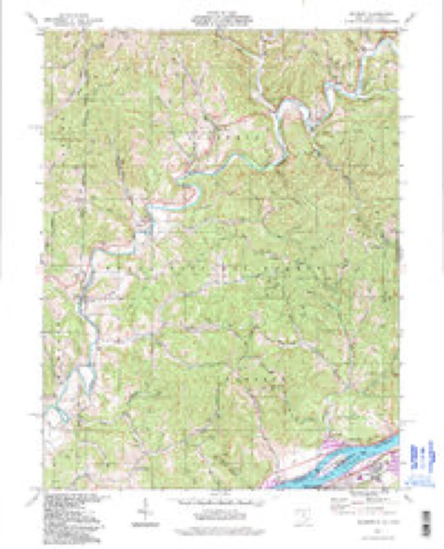
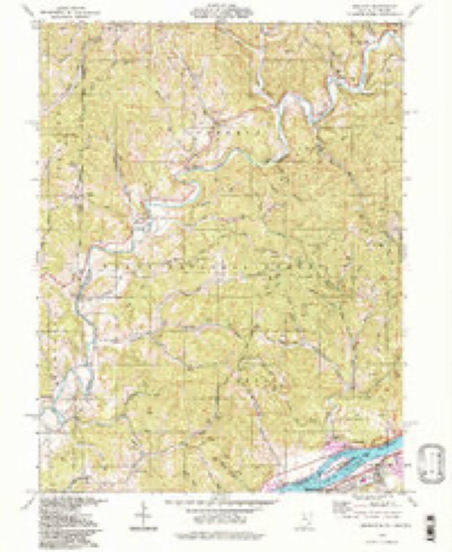
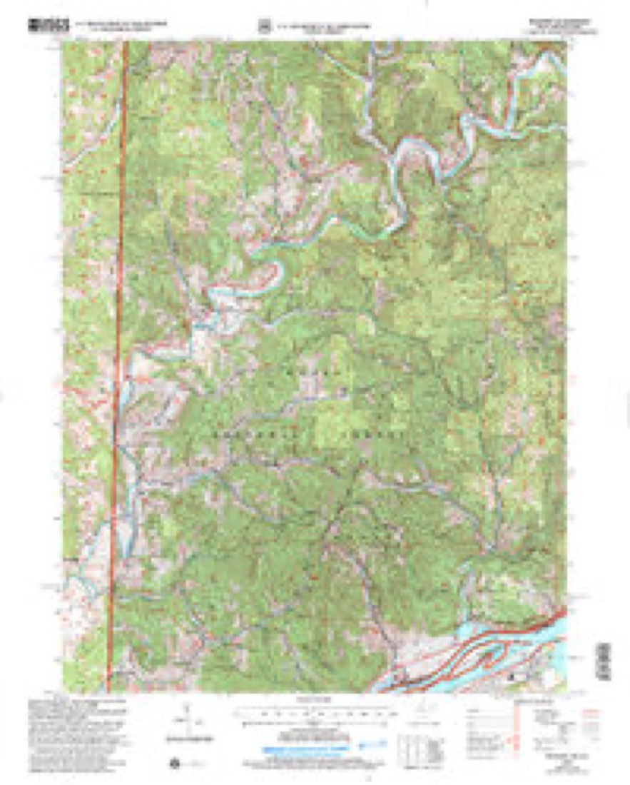
19 topographic sheets cover this place, the earliest surveyed in 1904 and the latest in 2002. It stands in Lawrence Township. It lies in ZIP code area 45773. It lies in Dark Hollow. The Survey maps it on the Belmont quadrangle.
Then and now
1904 to 2002The same ground, surveyed 98 years apart. Drag the handle to wipe between them. Both sheets are United States Geological Survey originals; neither has been altered.
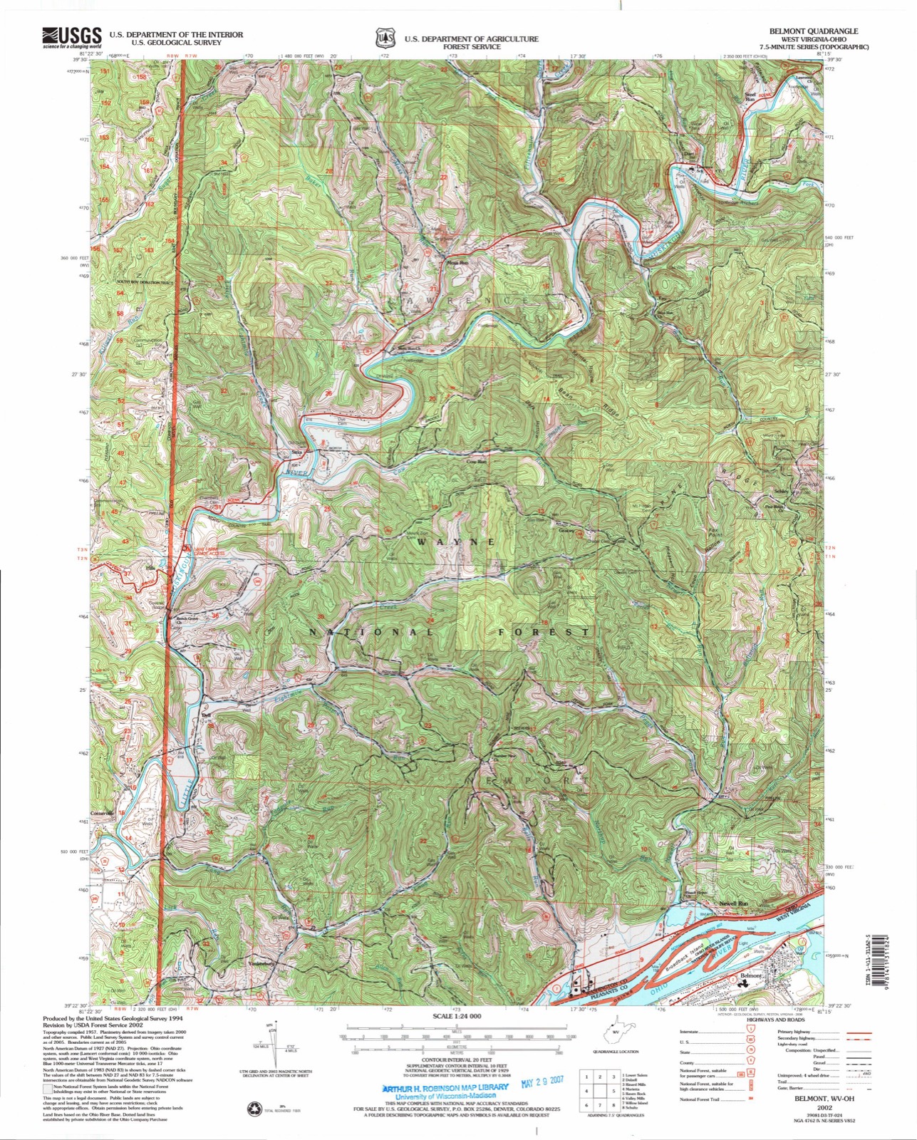
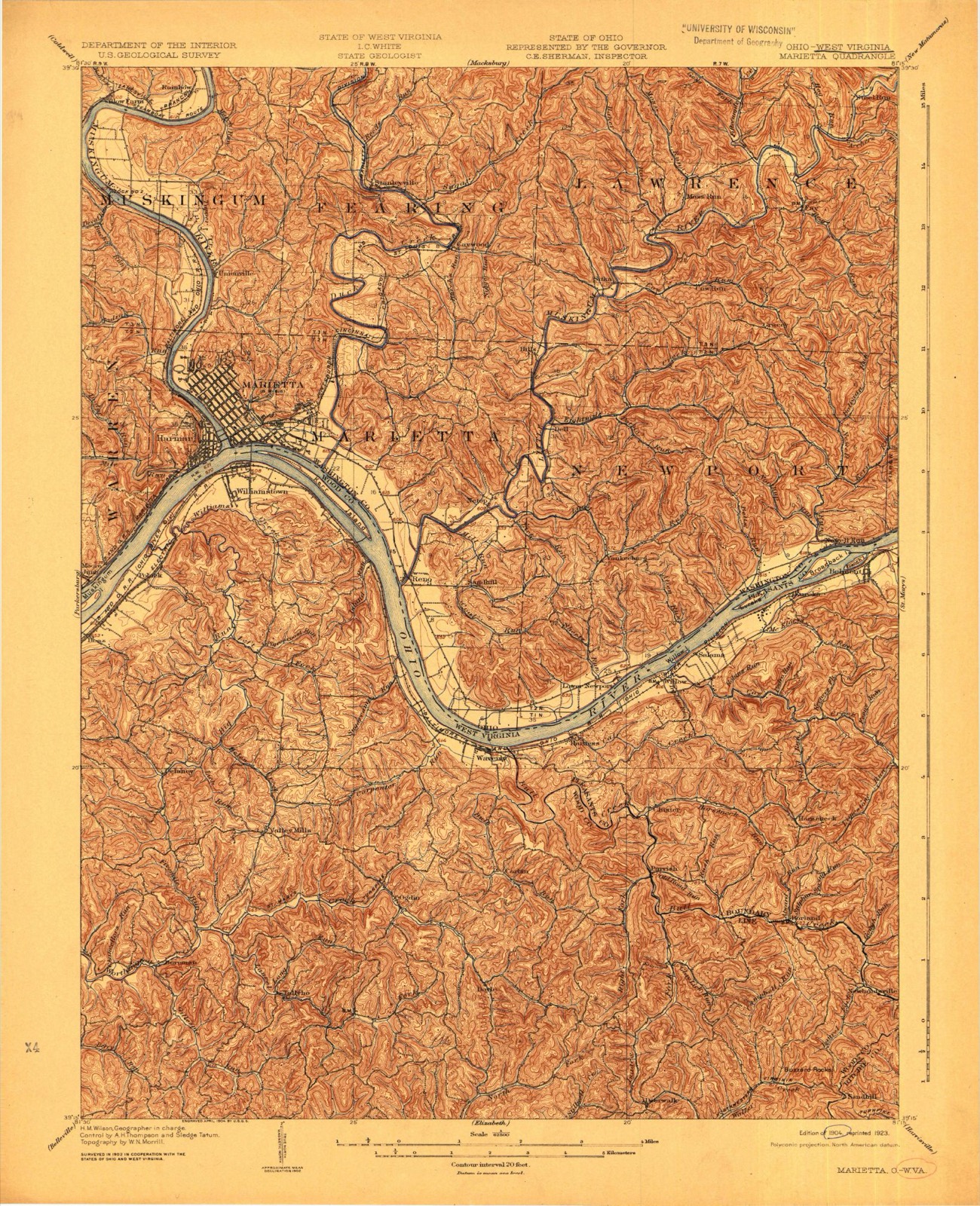
Compare 1904 against another survey:
Topographic sheets covering this place
19 sheetsMatched by testing this settlement's coordinate against the published boundary of every sheet in the United States Geological Survey's historical collection. Each opens the scanned sheet at the Survey.
- 1904 USGS Marietta quadrangle1:62500
- 1924 USGS Marietta quadrangle1:62500
- 1927 USGS Marietta quadrangle1:62500
- 1927 USGS Marietta quadrangle1:62500
- 1927 USGS Marietta quadrangle1:62500
- 1949 USGS Clarksburg quadrangle1:250000
- 1956 USGS Clarksburg quadrangle1:250000
- 1956 USGS Clarksburg quadrangle1:250000
- 1958 USGS Belmont quadrangle1:24000
- 1958 USGS Belmont quadrangle1:24000
- 1961 USGS Clarksburg quadrangle1:250000
- 1969 USGS Belmont quadrangle1:24000
- 1969 USGS Belmont quadrangle1:24000
- 1976 USGS Belmont quadrangle1:24000
- 1981 USGS Parkersburg quadrangle1:100000
- 1988 USGS Clarksburg quadrangle1:250000
- 1994 USGS Belmont quadrangle1:24000
- 1994 USGS Belmont quadrangle1:24000
- 2002 USGS Belmont quadrangle1:24000





In the county-history sources
14,305 words on this townshipHistory of Washington County, Ohio, published 1881 names this settlement in its chapter on Lawrence Township. These are the passages that mention it, exactly as the scans read.
The body of the soil on the terraces is red sand, sufficiently mixed with disentegrated limestone to make it fertile. Where the limestone is wanting satisfactory production can only be secured by the liberal application of fertilizers. In most portions of the township the land is naturally productive and easily cultivated. Wheat yields fairly, and of late years tobacco culture has been extensively and successfully pursued. The rich loam of the Little Muskingum valley yields large crops of Indian corn. That Lawrence is adapted to stock-raising is proved by the experience of the Scotch settlement in the north part of the township, a notice of which will be found further on. The German settlement in the northwest corner of the township occupies, probably, the most sterile portion, but under industrious and careful cultivation the hills in that section, once considered valueless, are enriching their owners.
Passage source: History of Washington County, Ohio, published 1881.
Oil is found only where there are fissures or breaks in the rock strata, caused by subterranean disturbance. At the time these fissures were formed they extended to great depths, and through them vapors from the distillation of bitumuous materials came up, condensed to a liquid state and filled the pores and crevices.
Passage source: History of Washington County, Ohio, published 1881.
There is in Lawrence township a well marked uplift, the centre of which is on'the hill on the south side of Cow run, near the line of the Exchange company's territory. From this point the axis of the break slopes gradually toward the north until at Burning Spring, on Fifteen, the anticlinal feature is scarcely perceptible. The eastern and western dips on Cow run are very rapid, and oil men are guided by surface indications where to locate wells. Further north on Morse run and Fifteen, the surface indications of subterranean fissures are so slight that it is impossible to locate them. 'The break also declines from Cow run toward the south, and is no longer perceptible at Eight Mile run.
Passage source: History of Washington County, Ohio, published 1881.
Machine-read from a century-old scan, so expect the errors a machine makes: misspelled names, dropped words, stray characters.
Read the whole chapter on Lawrence Township - it names this place 17 more 17 times.
Fires near this place
16 since 2001Regional context, not property-specific evidence. The federal wildfire occurrence database lists 16 fires within 5 miles of Cow Run between 2001 and 2020, burning about 44 acres in total. 1 started naturally. 2 were recorded as arson. Distance is straight-line from the map coordinates, so a fire counted here may appear on a neighbouring settlement's page as well.
| Reported cause | Fires |
|---|---|
| Missing data/not specified/undetermined | 6 |
| Debris and open burning | 5 |
| Arson/incendiarism | 2 |
| Other causes | 1 |
| Power generation/transmission/distribution | 1 |
| Natural | 1 |
The most recent of them, most recent first, with the day each was reported and the service that recorded it.
| Date | Cause | Size | Reported by | Name on the report |
|---|---|---|---|---|
| 26 September 2019 | Debris and open burning | under an acre | Wayne National Forest | 15 MILE FIRE |
| 13 September 2002 | Arson/incendiarism | under an acre | Wayne National Forest | NEFF RIDGE |
| 16 August 2016 | Natural | under an acre | Ohio Department of Natural Resources | 5405 |
| 5 April 2016 | Debris and open burning | 5.0 acres | Wayne National Forest | 15 MILE |
| 3 April 2017 | Missing data/not specified/undetermined | under an acre | Wayne National Forest | MT. PISGAH |
| 24 March 2017 | Missing data/not specified/undetermined | 4.1 acres | Wayne National Forest | STATE ROUTE 26 |
| 19 March 2019 | Power generation/transmission/distribution | 2.0 acres | Wayne National Forest | NEFF RIDGE FIRE |
| 19 March 2018 | Debris and open burning | under an acre | Ohio Department of Natural Resources | 14566 |
Settlements close enough to share some of these fires:
Specimens collected near this place
12 of 1,181 shownRegional context, not property-specific evidence. Museums hold 1,181 specimens collected within 10 miles of Cow Run between 1853 and 1975: 1,094 Animalia, 48 Fungi, 37 Plantae, 1 Unrecorded, 1 Chromista. 12 distinct Species records are shown. Collected by A. D. Selby, A. Drew, A. L. McElhose and others. Each is a physical object with a catalogue number, and each entry opens the museum's record. This is what was collected and kept, not a survey of what lives here - nothing can be concluded from a species being absent.
| Image | Species | Year | Collected by | Where, as recorded |
|---|---|---|---|---|
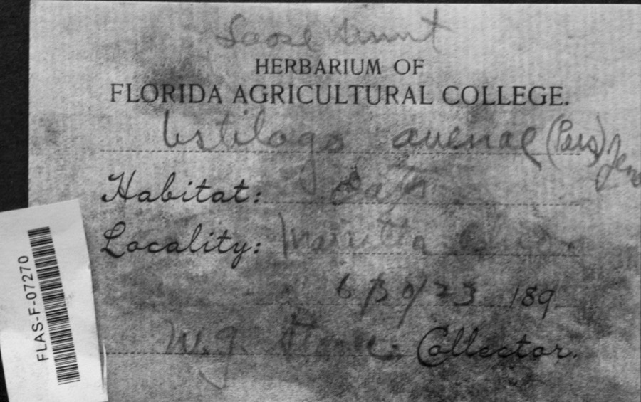 | Ustilago avenae (Pers.) Rostr. | 1923 | W.G. Stoner | Marietta |
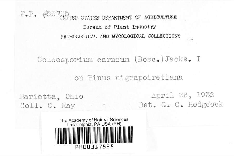 | Coleosporium carneum (Bosc) H.S.Jacks. | 1932 | C. May | Marietta |
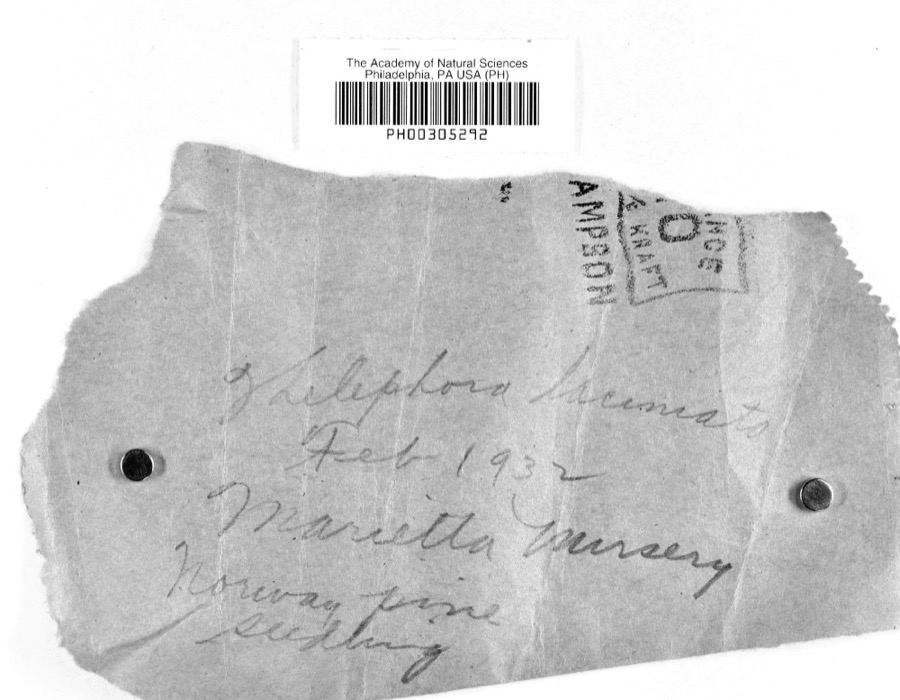 | Thelephora laciniata (Pers.) Pers. | 1932 | L.W.R.J. | Nursery, Marietta |
 | Catostomus commersonii (Lacepède, 1803) | 1853 | E. Andrews | Marietta, Ohio |
 | Actinonaias carinata gibba (C.T.Simpson, 1900) | 1879 | W. Holden | Ohio River, Near Marietta |
 | Necturus maculosus (Rafinesque, 1818) | 1886 | Georg Baur | Marietta |
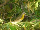 | Icteria virens (Linnaeus, 1758) | 1893 | Shufeldt, R. | Marietta |
 | Progne subis (Linnaeus, 1758) | 1893 | Shufeldt, R. | Marietta |
 | Eragrostis hypnoides (Lam.) Britton, Sterns & Poggenb. | 1896 | A. D. Selby | Rainbow. |
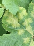 | Plasmopara viticola (Berk. & M.A.Curtis) Berl. & De Toni | 1896 | F.L. Stevens | Marietta |
 | Cyclonaias kleiniana (I.Lea, 1852) | 1897 | Sterki, Victor | Marietta |
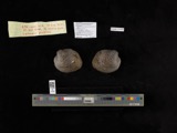 | Cyclonaias pustulosa (I.Lea, 1831) | 1897 | Sterki, Victor | Marietta |
All 1,181 specimens within 10 miles, at the Global Biodiversity Information Facility.
Nearest settlements
The eight closest, with where each one stands in the county. Distances are straight-line, computed from the Geographic Names Information System coordinates.
Elsewhere
Matched on this settlement's Geographic Names Information System number rather than its name, so it cannot be a different place of the same name in another state.
| Wikipedia article on Cow Run | An encyclopaedic summary. Its text is share-alike, so it is linked here rather than copied. |
| Wikidata item Q22133346 | The structured record the population and elevation above come from. Public domain (CC0). |
Provenance
This settlement is recorded in the Geographic Names Information System as feature 1075639. The sheet list is computed by point-in-boundary test against the United States Geological Survey's historical topographic inventory. Both are works of the United States government and carry no copyright under 17 U.S.C. 105.
Wildfire. Short, Karen C. 2022. Spatial wildfire occurrence data for the United States, 1992-2020 [FPA_FOD_20221014]. 6th Edition. Fort Collins, CO: Forest Service Research Data Archive. https://doi.org/10.2737/RDS-2013-0009.6 Collected with United States Government funding and usable without additional permissions or fees.
Specimens. Global Biodiversity Information Facility (GBIF), https://www.gbif.org/. Only records licensed CC0 or CC BY are used. Records licensed CC BY-NC are excluded because this site carries advertising. Images are checked individually and any whose licence is non-commercial, no-derivatives or unreadable is refused.