156 topographic sheets and 20 fire insurance
atlases across 3 places.
Research this county
This curated hub for Washington County, Ohio brings together the page's documented record links, visible map or image evidence where published, and routes to related local records.
Use the page's provenance and linked records to distinguish the source material from the site's navigation and summaries.
How should I cite it?
Open the original record, preserve its repository and identifier, then use the citation tool for this page as a path back to the source.
Where should I go next?
Follow the county or state hub for related places and records, then use the guide for a source-aware research sequence.
From the record
“John Dyar, the first representative of this family in Washington county, was a native of Boston. After the Revolution he removed to Nova Scotia and became engaged in navigation, and accumulated some money, but during the Napoleonic wars his vessel was captured and his fortune ruined. He married, in Nova Scotia, Sally Potter, whose father was also a native of Boston.”
Biographical Sketches The Dyar Family - History of Marietta and Washington County, Ohio, and Representative Citizens (1902). Machine-read text.
39 National Register listings, of which 1 are National Historic Landmarks · 46 businesses named in the fire insurance atlases from 1884 to 1915 · the 1902 county history tells 10 stories and names 65 people · people the book names include Capt. John Dodge (Waterford Township, 1902) · Rev. Dr. William Addy (Marietta, Moral And Material Advancement, 1881) (machine-read).
Ohio within the United StatesWashington County within Ohio
Explore by year
What the record shows
3 places in this county were surveyed for fire insurance: Marietta, Beverly, Lowell, between 1884 and 1952.
20 fire insurance atlas(es) survive for the county. Topographic coverage is national; fire insurance survey reached only incorporated places with something worth insuring.
1 of the 3 surveyed places also hold documentary photographs in the Library of Congress.
2,073 topographic sheet readings cover the county's settlements.
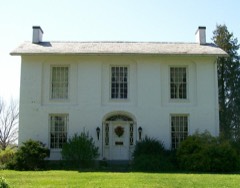
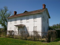
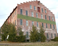
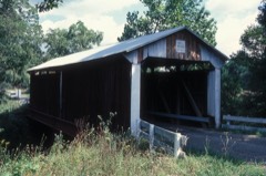
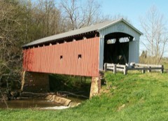
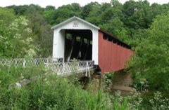
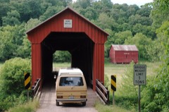
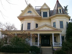
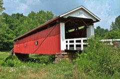
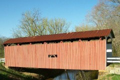
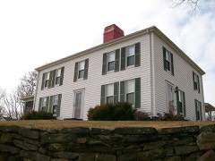
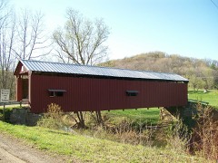
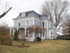
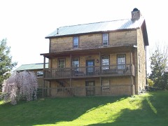
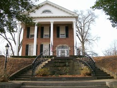
39 properties here are on the National Register of Historic Places, including 7 covered bridges, 8 historic districts, 15 houses and farms.
21 of the 39 listings were added during the 1970s.
The Geographic Names Information System records 125 populated places in this county; 0 are covered by at least one topographic sheet.
2 public-domain county histories, 1881 and 1902, supply 345,184 words of narrative reproduced here in full.
What happened here
10 accounts
A captivity, a drowning, a famine, a man
scalped clearing his lot in 1789. These are passages from History of Marietta and Washington County, Ohio, and Representative Citizens, written
while people who remembered the events were still alive, and each one
opens the section it comes from.
1902, Independence Township
Thomas Simms And His Captivity
About 1810 a man arrived, of adventurous and eventful history. When Thomas Simms was a boy of some eight years of age, living with his kindred near Wheeling, Virginia, the Indians attacked and massacred his grandfather, and several of the family to which he belonged, but spared his life. They took Thomas to what was called Sandusky plains, where they raised him in the ways of their tribe.
The drowning of Charles Haskell is perhaps the most remarkable and the saddest case of this kind on record. Charles Haskell was, at the time of his tragic death, a respected citizen and a prominent member of the Baptist church. He resided near the river where he had his store. Saturday, July 23, 1831, he observed that some boats that he had secured to the Ohio shore were being blown by the wind towards the Virginia side.
that occurred in the new settlement was that of Captain Zebulon King, who was assassinated by the Indians May 1, 1789. While busily engaged in clearing his lot in the middle settlement, he was shot and scalped, it is supposed by two Indians who had escaped from Fort Harmar, where they were confined by reason of their treacherous conduct towards the whites during the previous summer at Duncan's Falls.
early occupied the attention of the settlers. During the period of the famine the hand-mill could easily furnish the miserable dole which barely sufficed to sustain life. But with returning plenty the hand-mills were unable to supply the necessary breadstuff, and the erection of a regular grist-mill became a necessity.
Anthony Spacht and his wife Catharine; Hannah, wife of Joseph Guthrie; Stratton, Levins, Bliss, +Denham; one woman and two children killed by the Indians. These and some other names, not remembered, died and were buried near this spot, between 1790 and 1810. Erected by some of their descendants as a token to their memory.
of various kinds have been erected from time to time. In 1807, Captain Devol erected a very large frame flouring mill near where the present mill now stands. Its large under shot wheel is said to have been more than forty feet in diameter, it being the largest mill wheel ever seen in the west. The mill did a fair business, but with the lapse of years was allowed to fall into decay.
John Dyar, the first representative of this family in Washington county, was a native of Boston. After the Revolution he removed to Nova Scotia and became engaged in navigation, and accumulated some money, but during the Napoleonic wars his vessel was captured and his fortune ruined. He married, in Nova Scotia, Sally Potter, whose father was also a native of Boston.
Erastus Stowe, father of the subject of this sketch, was born at Cooverstown, New York. While yet a child, one of the celebrated Indian massacres of the Revolution occurred in that valley, and both his parents were murdered by the savage woodsmen. The child was carried away and left in a corn field and there found by Abijah Hubble who adcpted him into his family.
In 1820 this locality was visited by some kind of fever called by the settlers the "cold plague," and such were the ravages of the disease that it required all the energies of the able-bodied citizens to care for the afflicted ones. It is stated that over fifty persons were carried off by this awful scourge.
1902, Marietta, Early Events - Moral Condition Of The
First Birth
The first child born in Marietta was a son of James Kelley, and Anna (Hart) Kelley, emigrants from Plainfield, Massachusetts, and was named after the governor, Arthur St. Clair Kelley. He was born December 30, 1788, The family afterward removed to Belleville, Virginia, and the father was killed there by the Indians on the seventh of April, 1791 (See chapter X, on the Indian War, page 76).
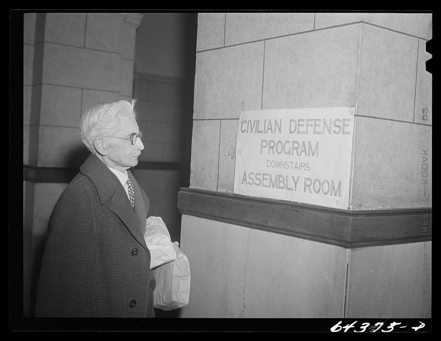
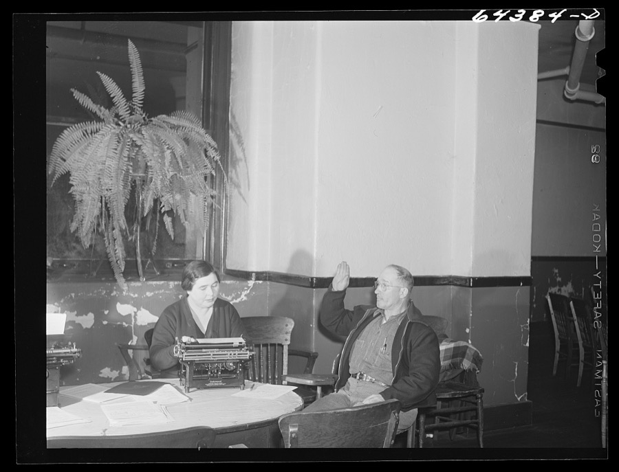
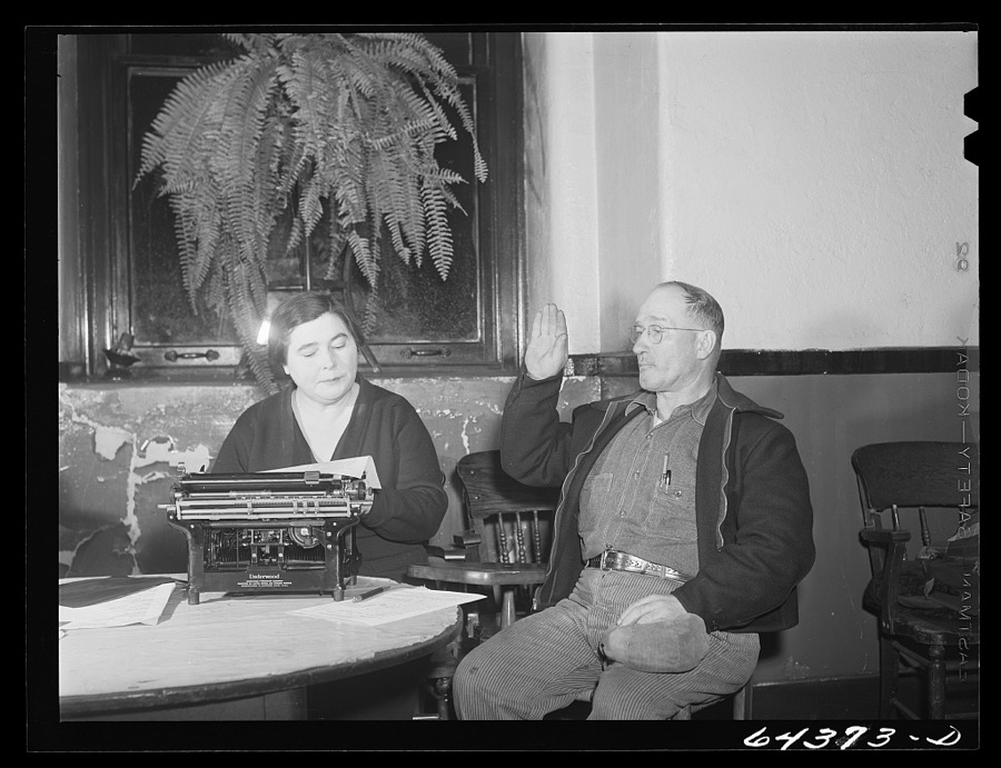
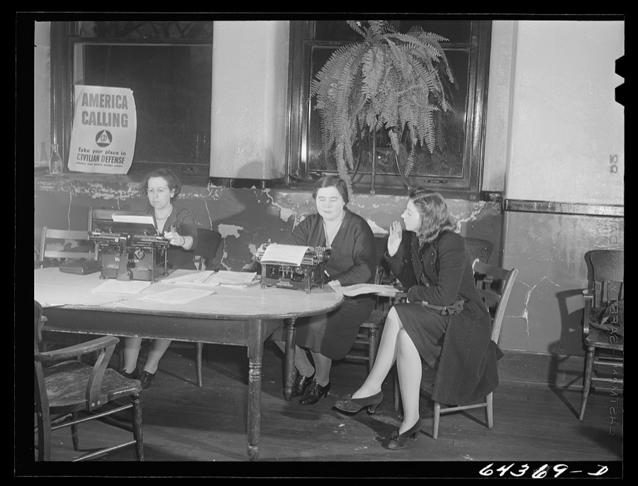
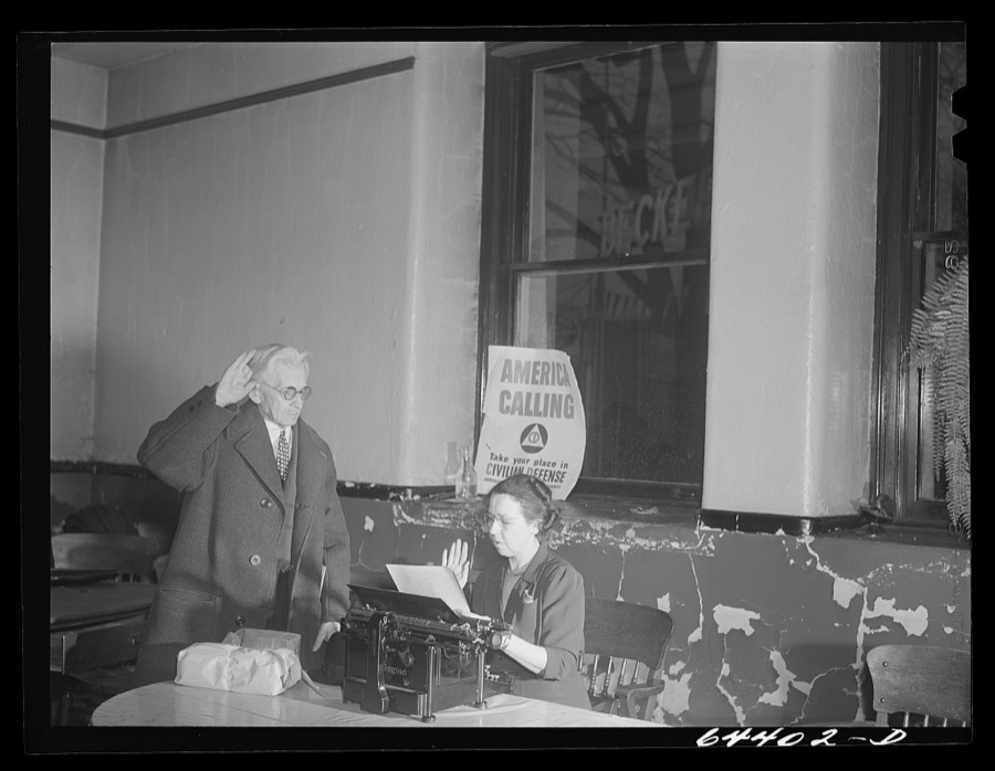
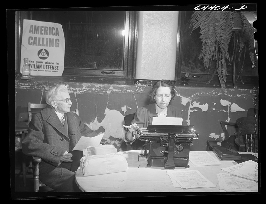
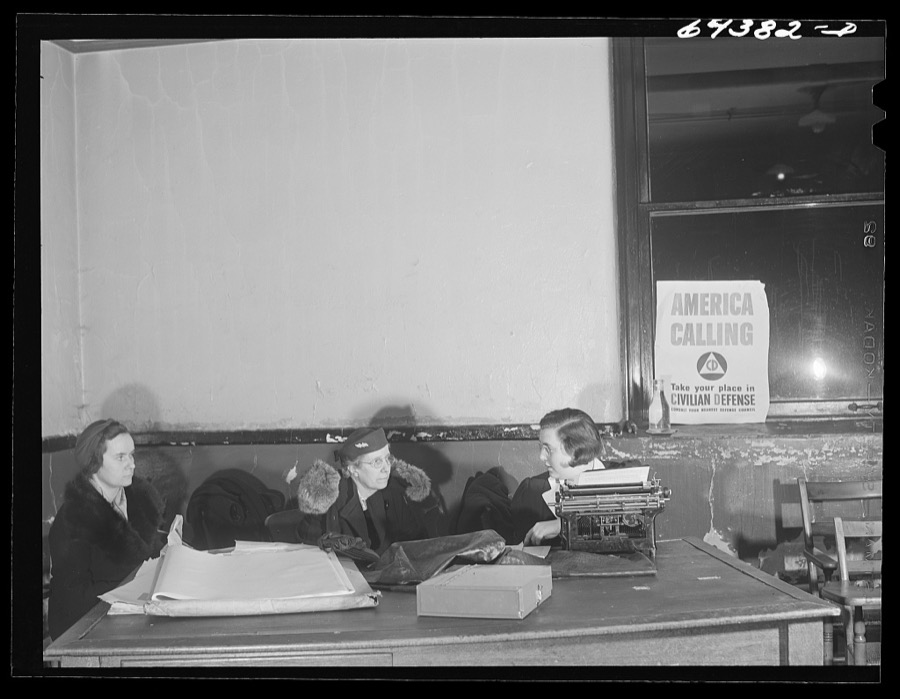
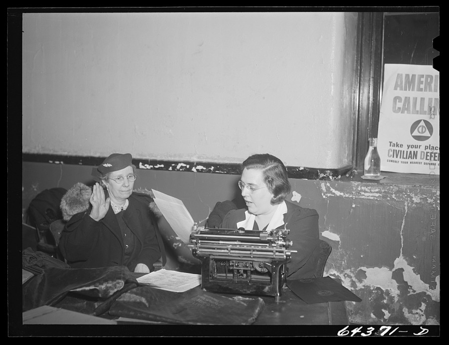
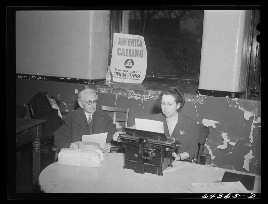
Taken for the Office of War Information and
the Farm Security Administration, who photographed the country between
1935 and 1944. Works of United States government photographers, with no
known restriction on use. Each opens its catalogue record.
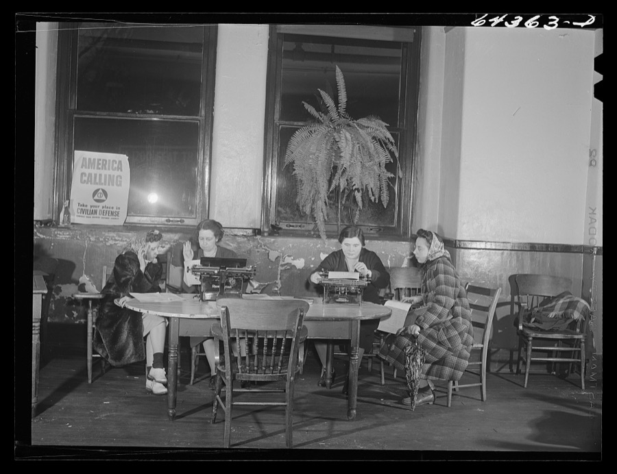
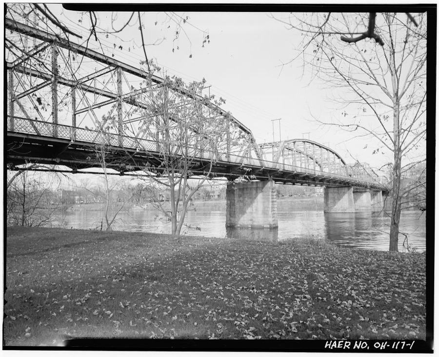
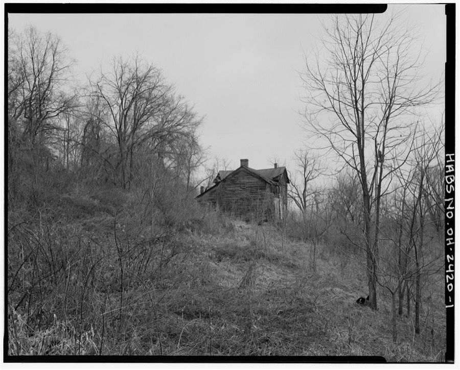
Marietta, Ohio. Housewives signing up for civilian defense in basement of the courthouse Vachon, John, 1942. Library of CongressMarietta, Ohio. Old lawyer, veteran of Spanish-American war, entering courthouse to register for civilian defense Vachon, John, 1942. Library of CongressMarietta, Ohio. Citizen swearing in as civilian defense worker Vachon, John, 1942. Library of CongressMarietta, Ohio. Citizen swearing in as civilian defense worker Vachon, John, 1942. Library of CongressMarietta, Ohio. Young women swearing in as a civilian defense worker Vachon, John, 1942. Library of CongressMarietta, Ohio. Old lawyer, veteran of Spanish-American War, swearing in as civilian defense volunteer Vachon, John, 1942. Library of CongressMarietta, Ohio. Old lawyer, veteran of Spanish-American War, registering for civilian defense in basement of the courthouse Vachon, John, 1942. Library of CongressMarietta, Ohio. Housewives signing up for civilian defense in basement of the courthouse Vachon, John, 1942. Library of CongressMarietta, Ohio. Housewives signing up for civilian defense in basement of the courthouse Vachon, John, 1942. Library of CongressMarietta, Ohio. Old lawyer, veteran of Spanish-American War, registering for civilian defense in basement of the courthouse Vachon, John, 1942. Library of CongressPutnam Street Bridge, Spanning Muskingum River, Marietta, Washington County, OH Unattributed, . Library of CongressCharles Webber House, Township Road & Sheets Run, Grandview, Washington County, OH Unattributed, . Library of Congress
Places on the National Register
39
Every property in this county listed on the
National Register of Historic Places, with the year it was listed and the
federal nomination document.
Washington County holds 7 covered bridges on
the National Register, more than any other property type here. Each is a listed
structure with a federal nomination on file.
Drawn when these were printed as
single large sheets: the town seen from the air, and the county
divided into its farms with every owner named. Each opens the
original at the Library of Congress.
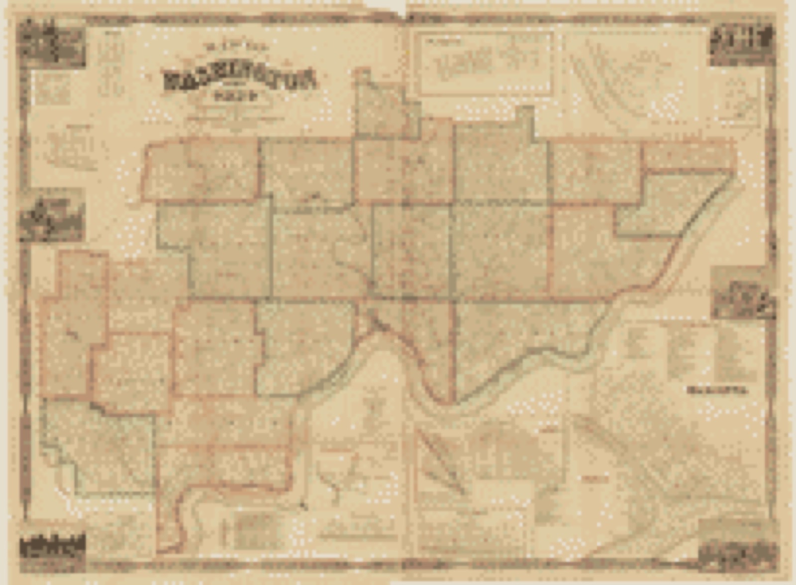
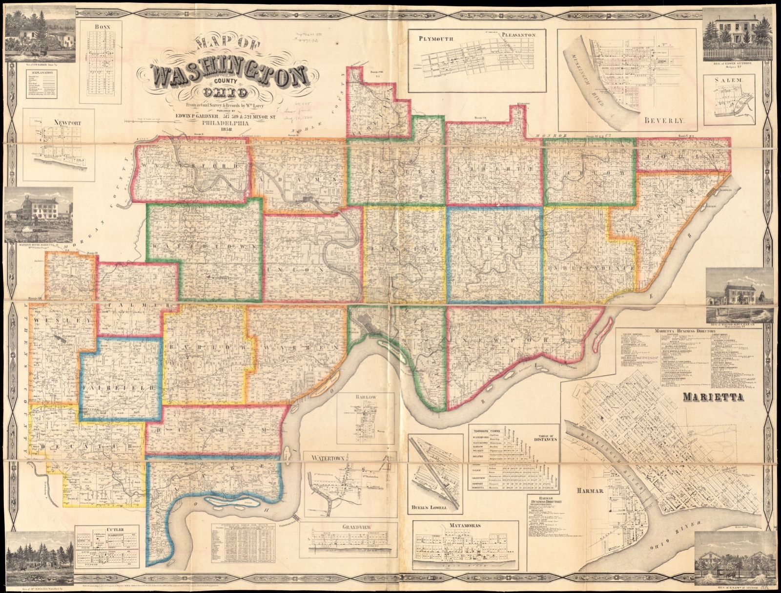
Land ownership map (1858) - Map of Washington County, Ohio : from actual survey & records by Wm. Lorey. Library of Congress.
Photographs from libraries nationwide
18 of 33 shown
Selected from the Digital Public Library
of America's 33 image records catalogued for this county. Every
one shown here carries a public-domain status or a licence that permits
reuse on a site that carries advertising; non-commercial, share-alike
and restricted images are excluded. The selection is spread across the
county's towns (at most eight per town), so no single institution's
bulk upload crowds out the rest. Each opens the holding library's
record, and
the complete set at the
Digital Public Library of America is one click away.
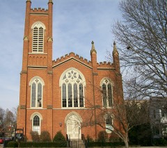
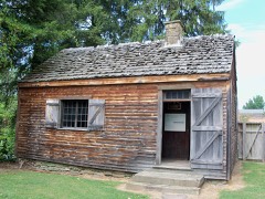
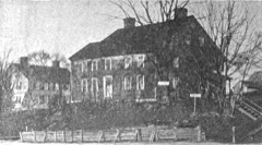
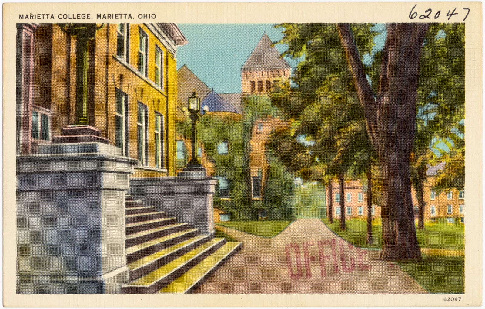
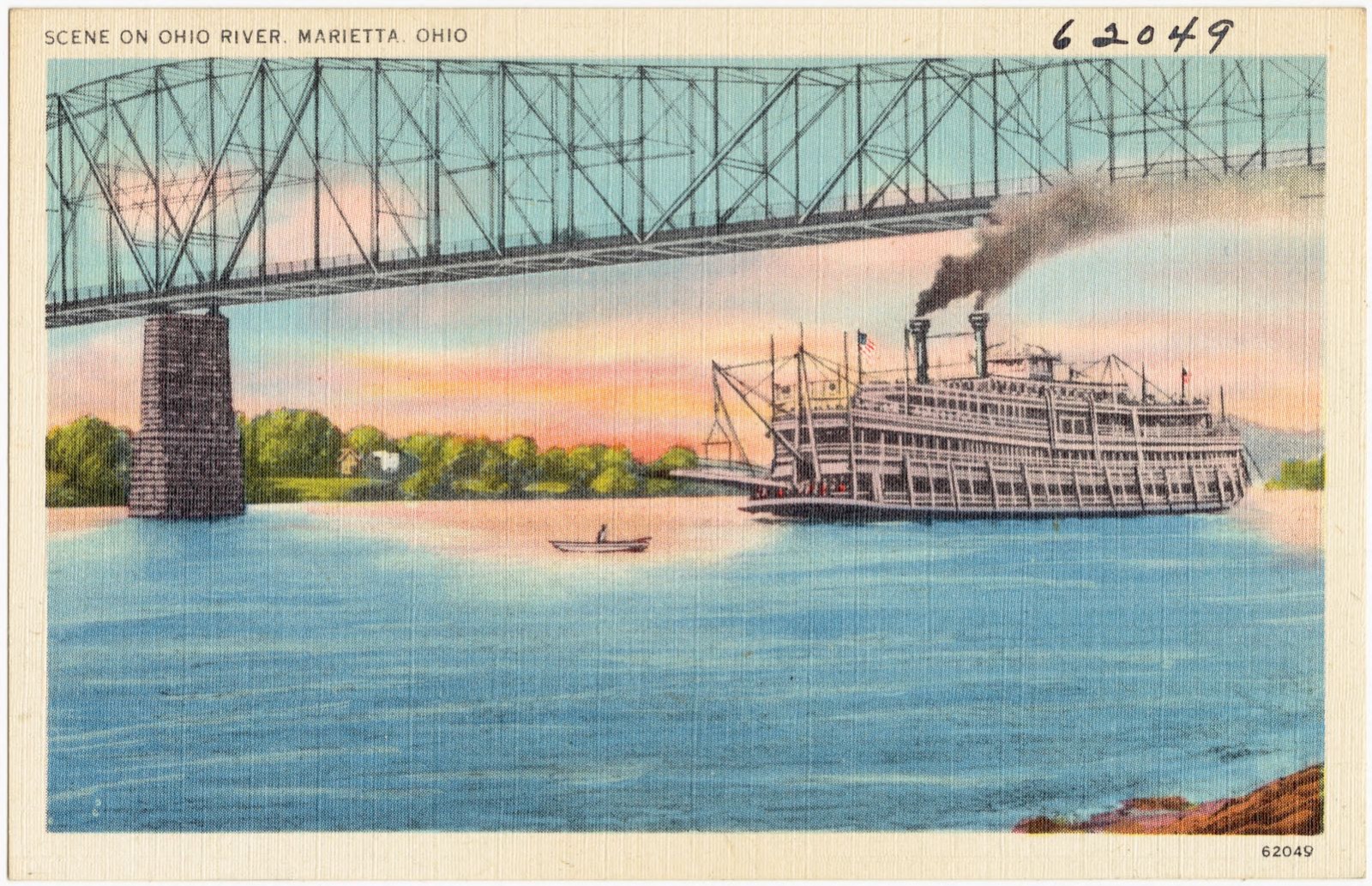
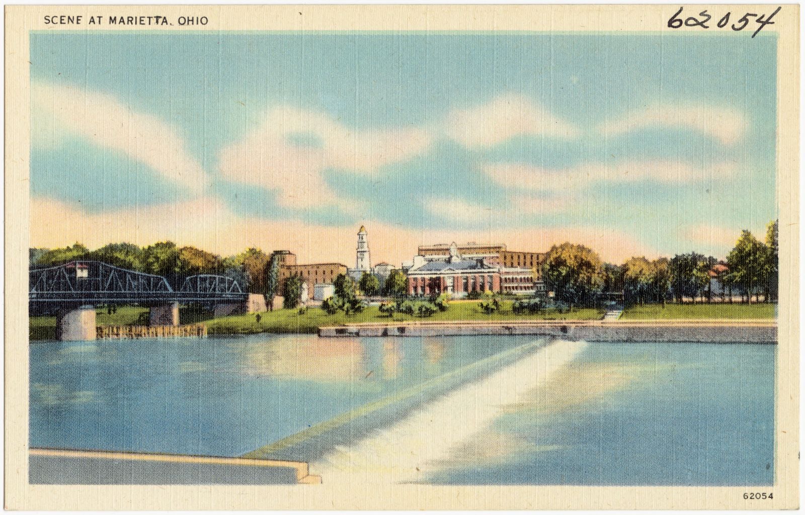
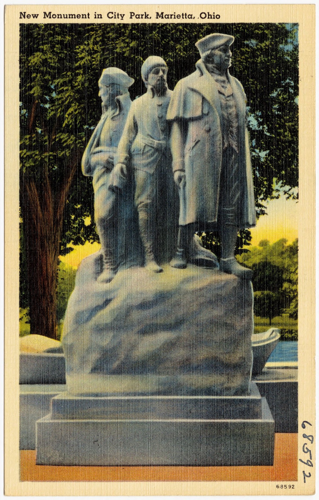
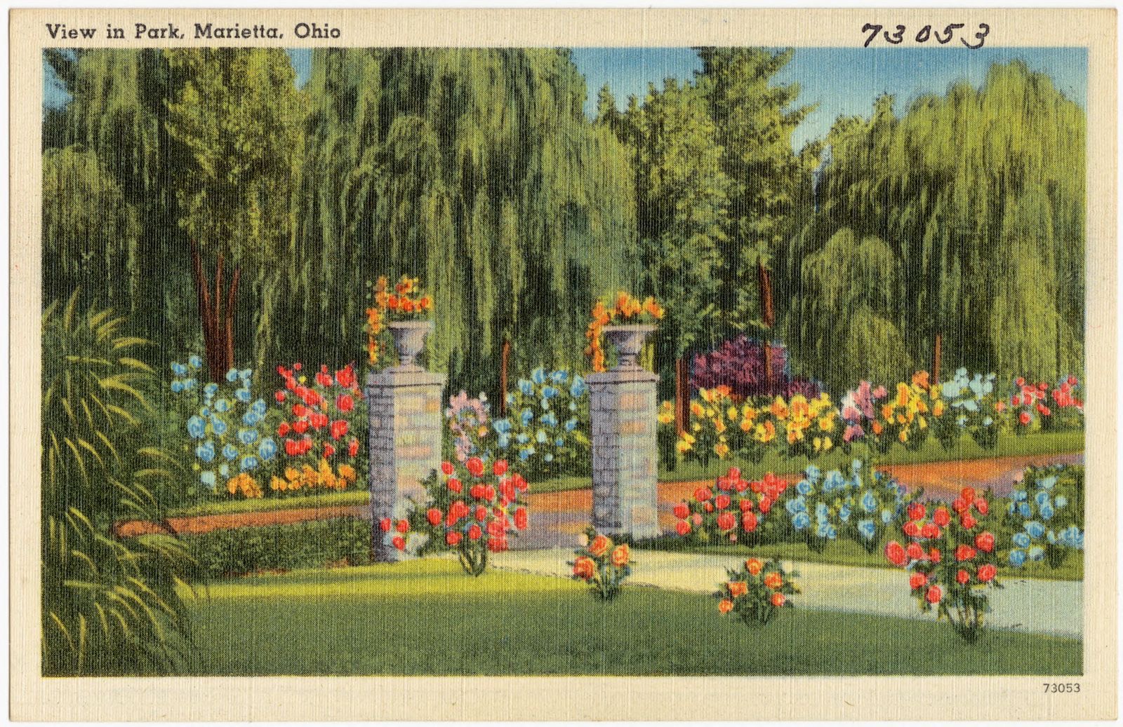
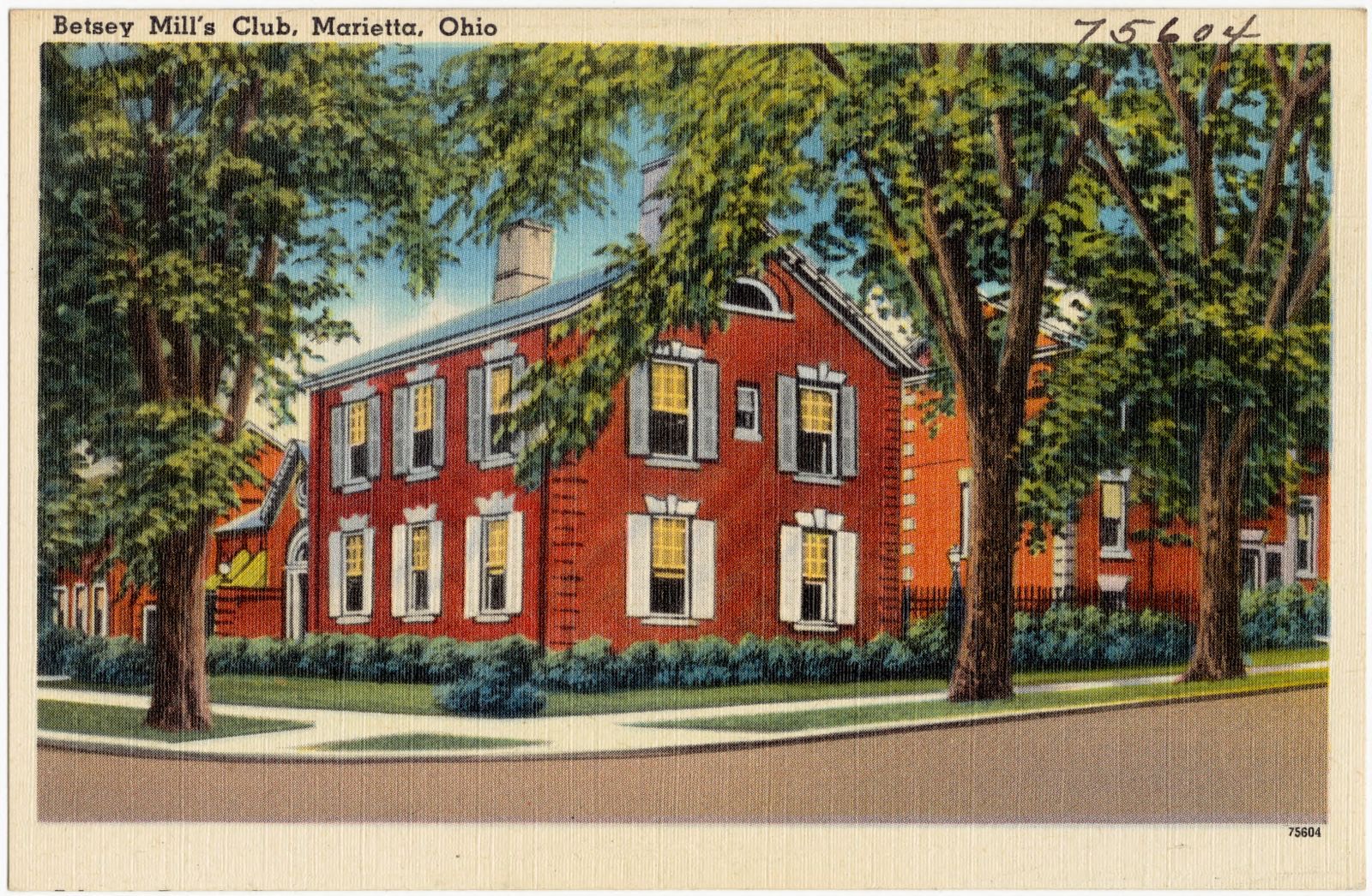
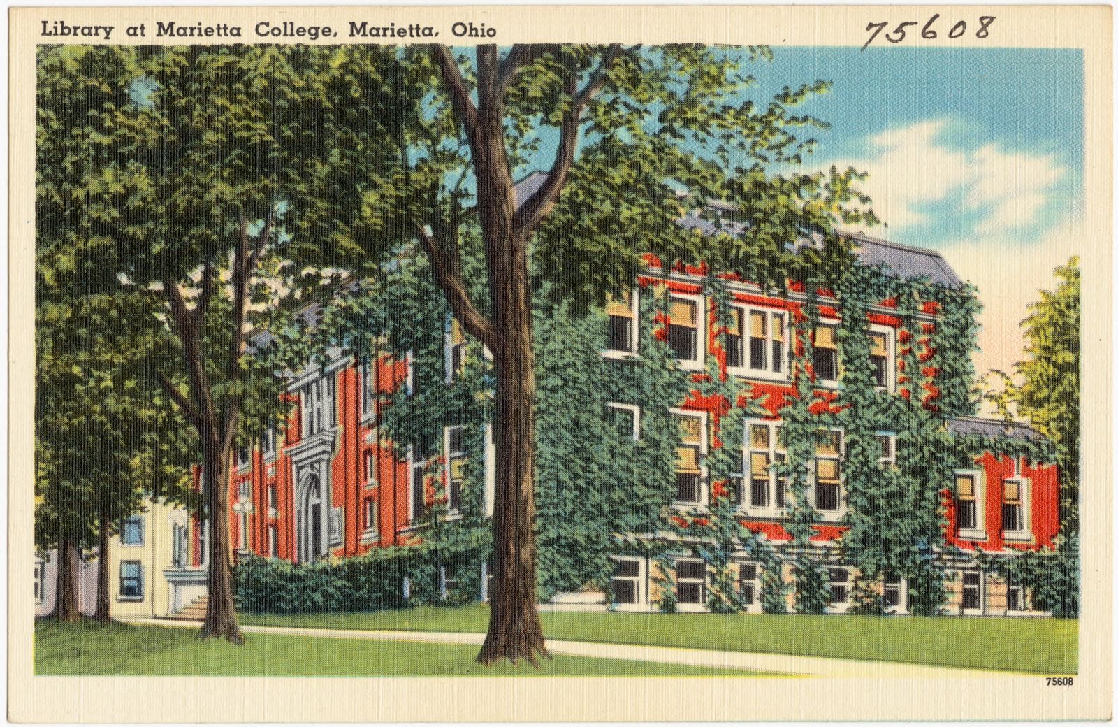
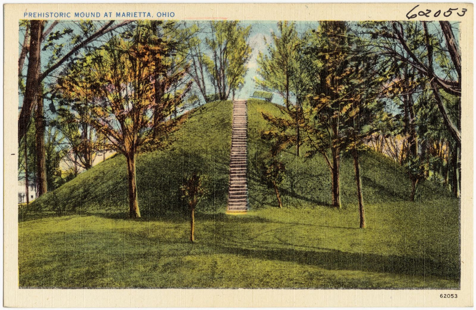
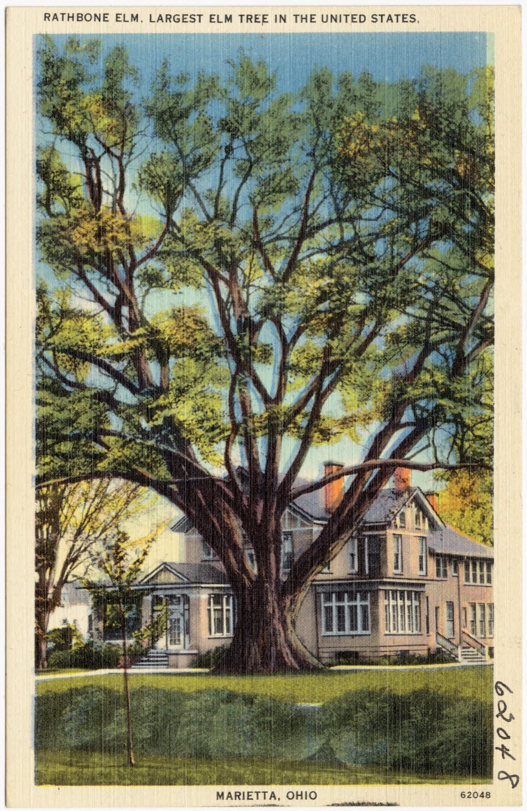
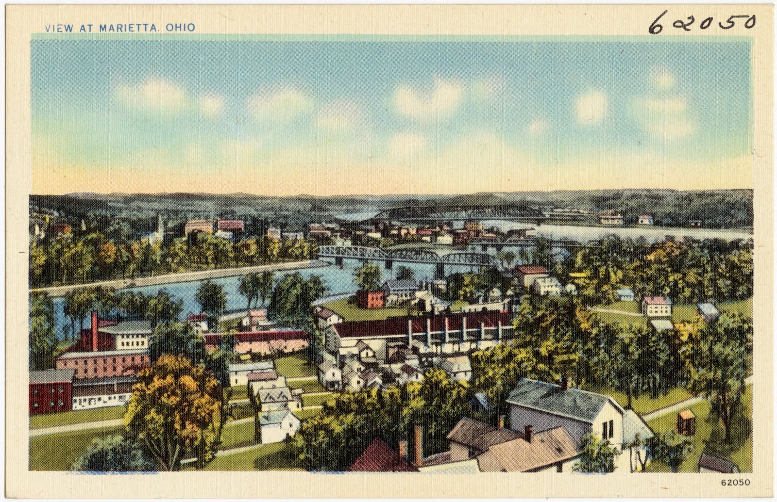
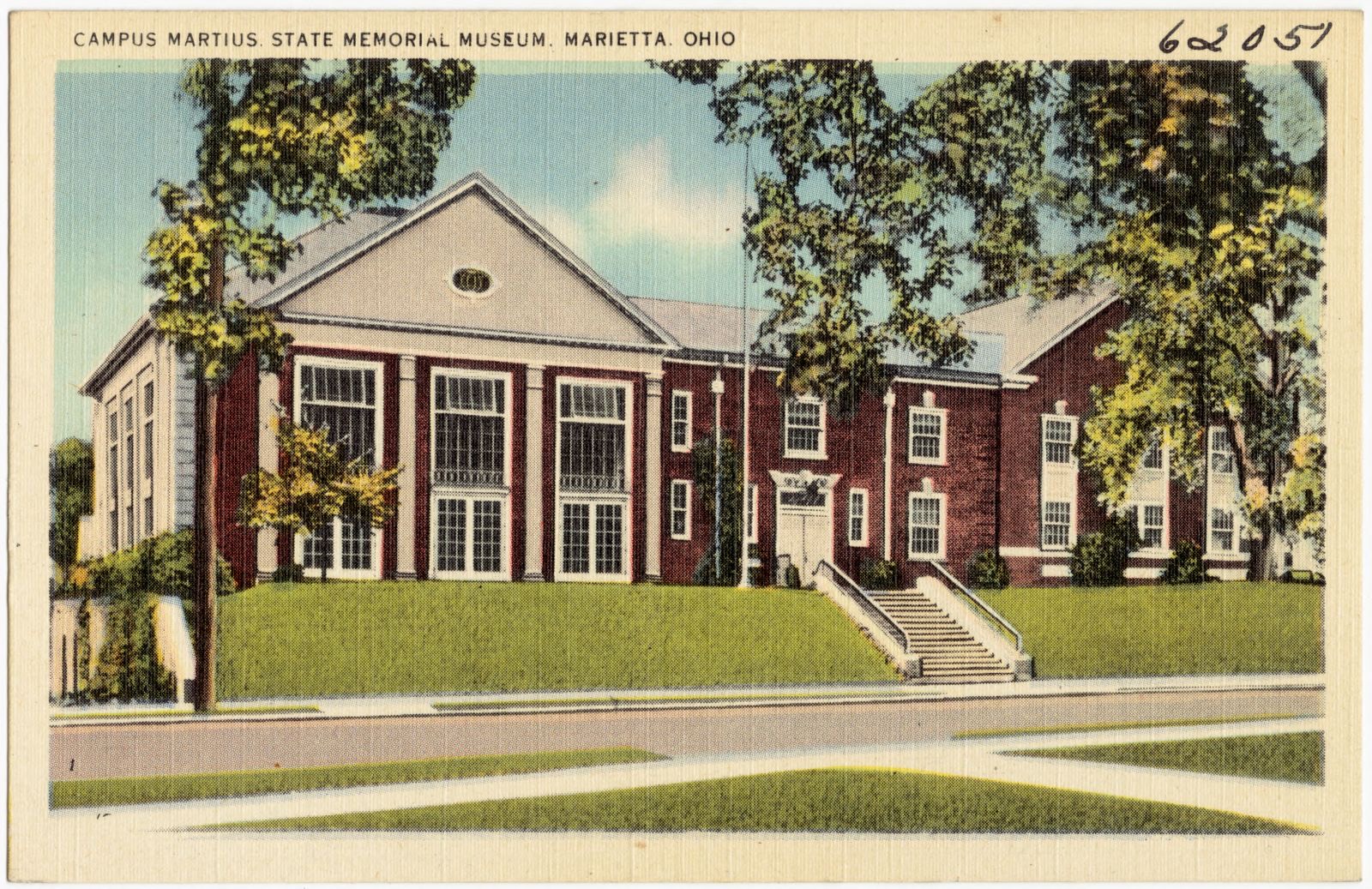
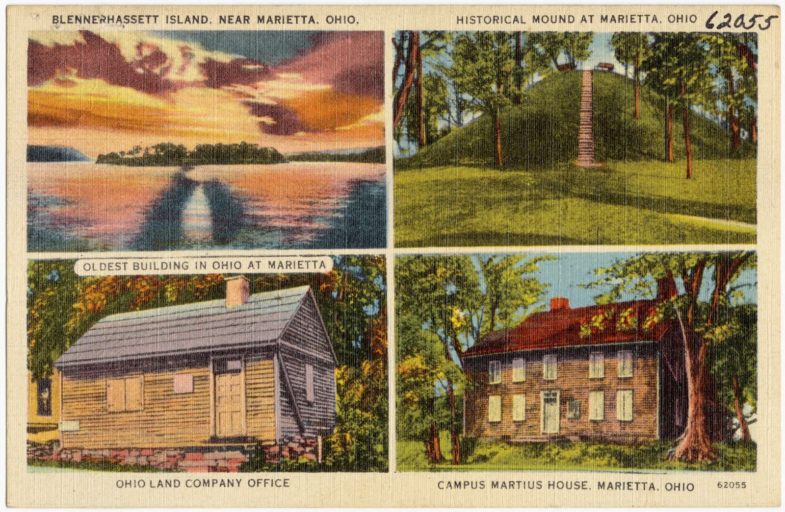
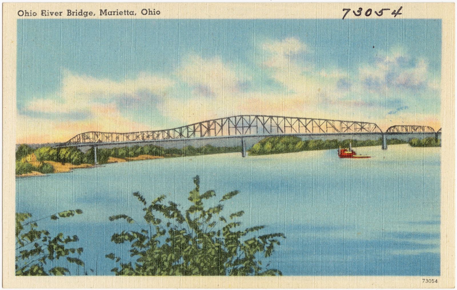
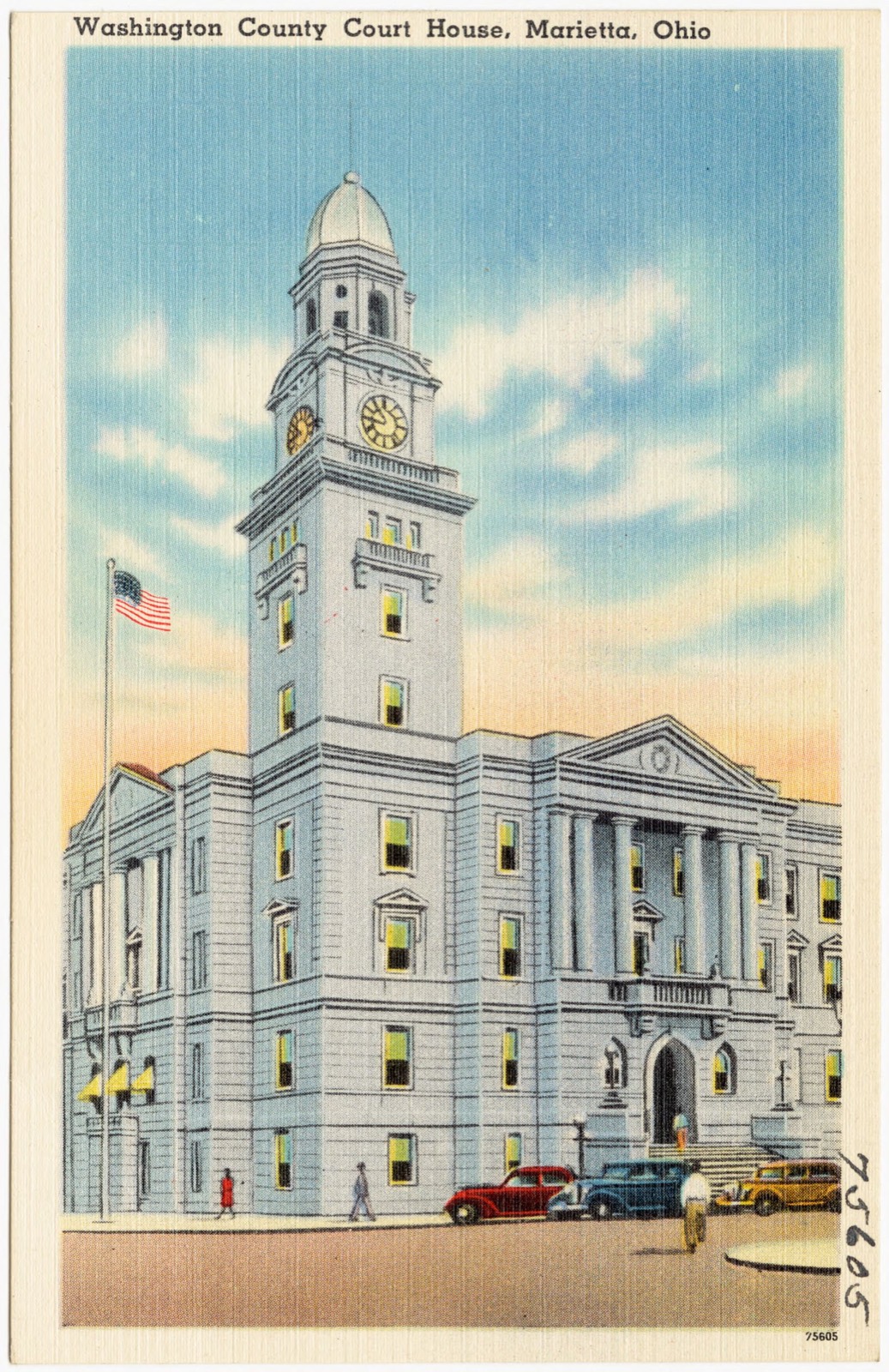
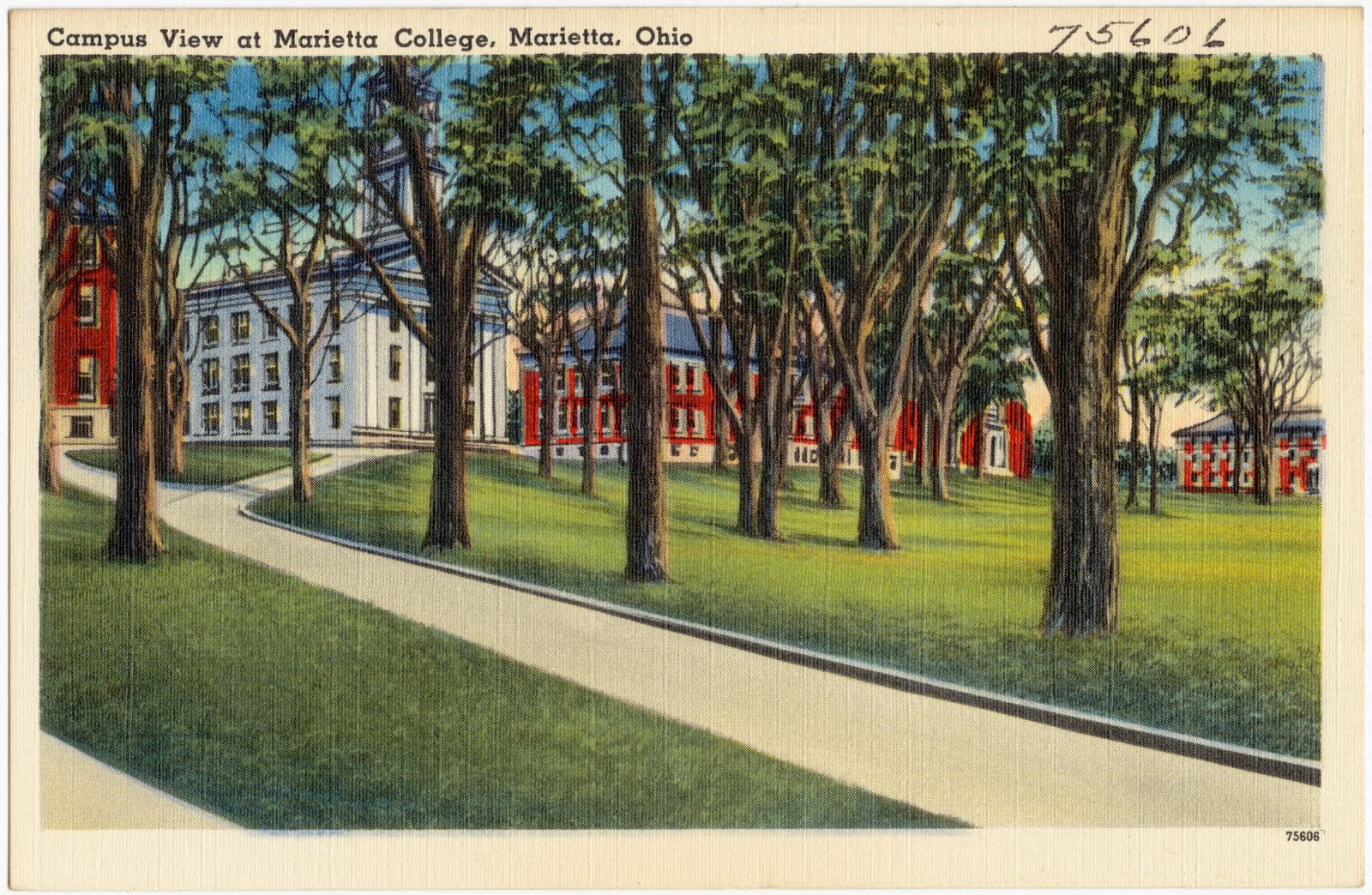
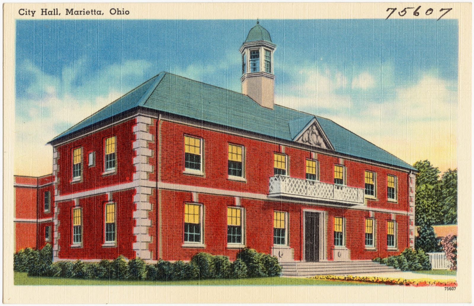
Marietta College, Marietta, Ohio. Boston Public Library, via the Digital Public Library of America.Scene on Ohio River, Marietta, Ohio. Boston Public Library, via the Digital Public Library of America.Scene at Marietta, Ohio. Boston Public Library, via the Digital Public Library of America.New Monument in city park, Marietta, Ohio. Boston Public Library, via the Digital Public Library of America.View in park, Marietta, Ohio. Boston Public Library, via the Digital Public Library of America.Betsey Mill's Club, Marietta, Ohio. Boston Public Library, via the Digital Public Library of America.Library at Marietta College, Marietta, Ohio. Boston Public Library, via the Digital Public Library of America.Prehistoric mound at Marietta, Ohio. Boston Public Library, via the Digital Public Library of America.Rathbone Elm, largest Elm tree in the United States, Marietta, Ohio. Boston Public Library, via the Digital Public Library of America.View at Marietta, Ohio. Boston Public Library, via the Digital Public Library of America.Campus Martius State Memorial Museum, Marietta, Ohio. Boston Public Library, via the Digital Public Library of America.Blennerhassett Island, near Marietta, Ohio. Historical mound at Marietta, Ohio. Oldest building in Ohio at Marietta, Ohio Land Company Office. Campus Martius House, Marietta, Ohio. Boston Public Library, via the Digital Public Library of America.Ohio River Bridge, Marietta, Ohio. Boston Public Library, via the Digital Public Library of America.Washington County Court House, Marietta, Ohio. Boston Public Library, via the Digital Public Library of America.Campus view at Marietta College, Marietta, Ohio. Boston Public Library, via the Digital Public Library of America.City hall, Marietta, Ohio. Boston Public Library, via the Digital Public Library of America.Map of Washington County, Ohio. Lorey, Wm. (William), Boston Public Library, via the Digital Public Library of America.[Map of W. Dall's lots in Athens County, Washington County, and Gallia County, Ohio]. Dall, W, Boston Public Library, via the Digital Public Library of America.
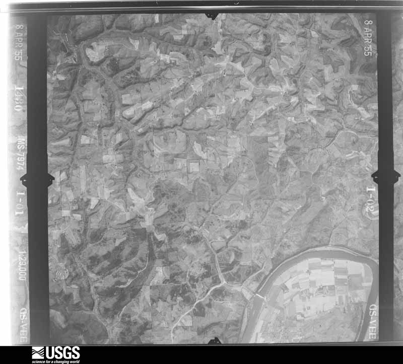
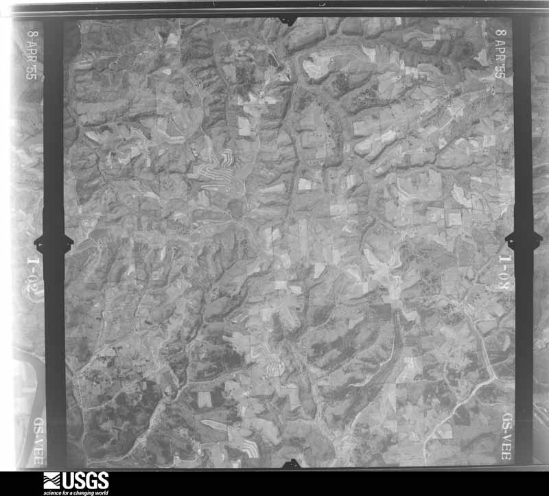
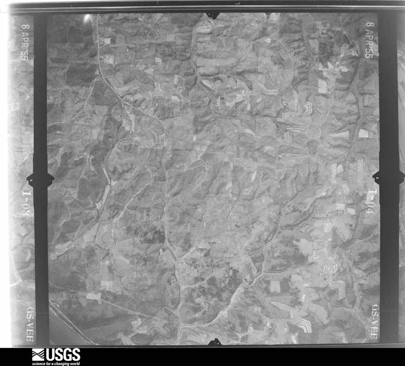
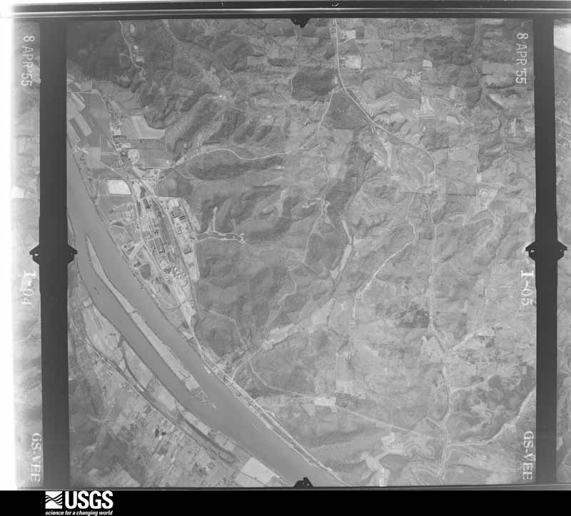
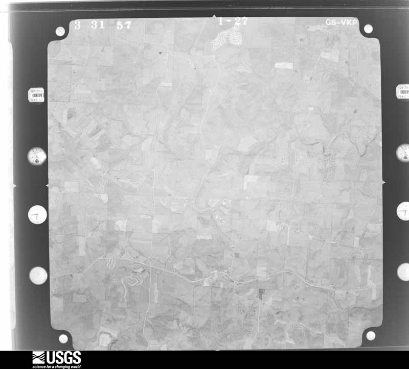
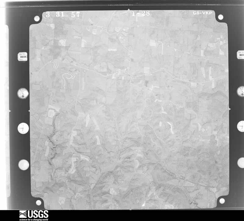
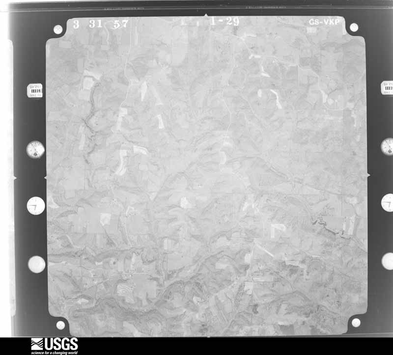
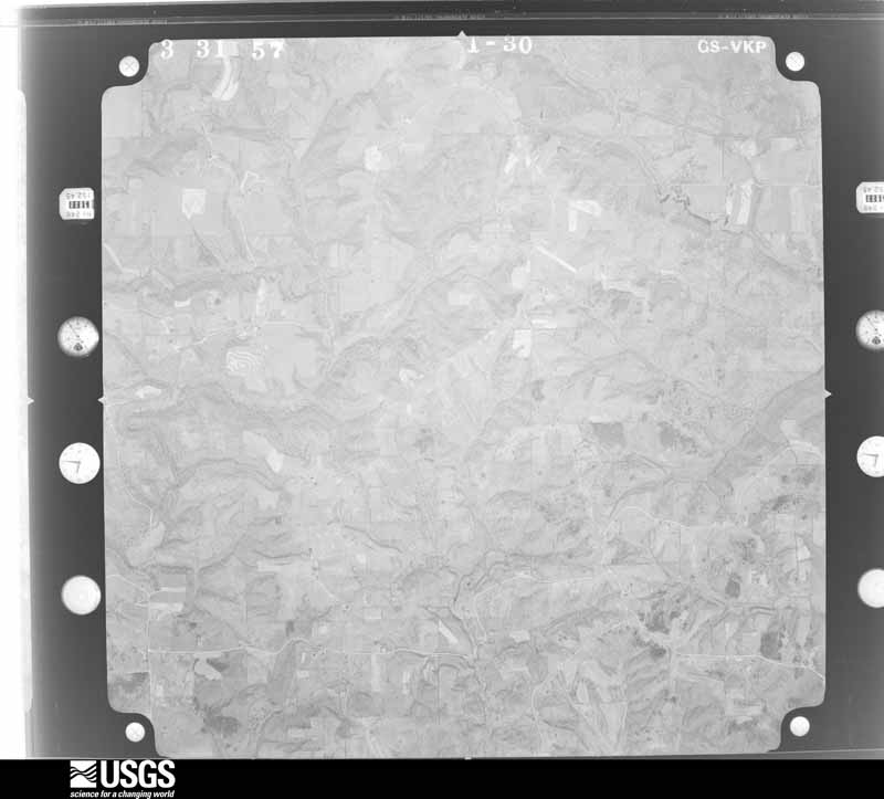
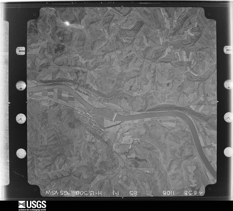
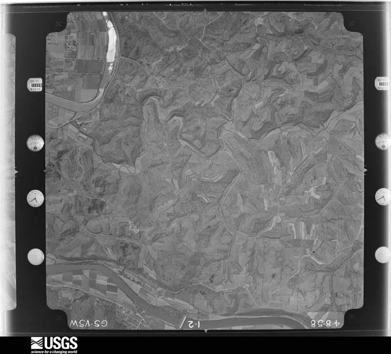
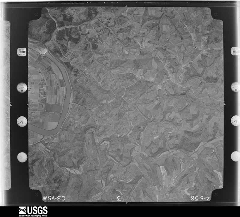
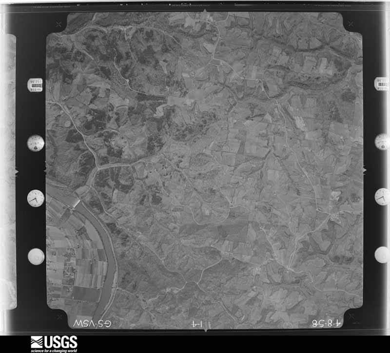
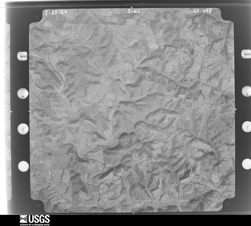
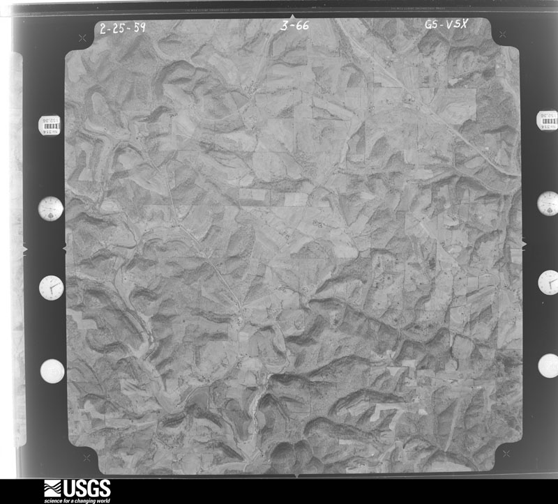
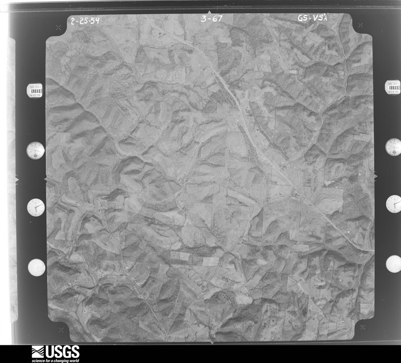
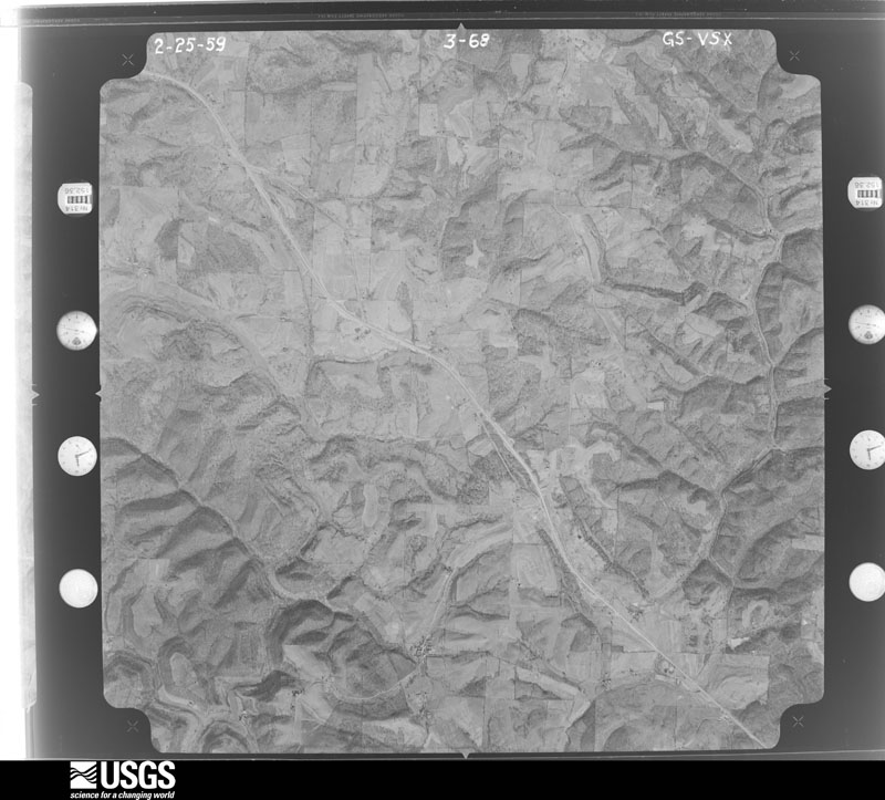
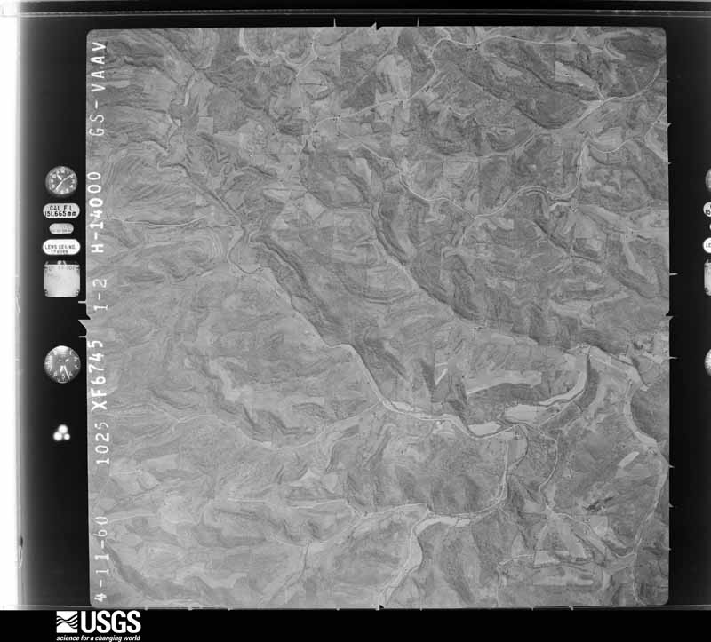
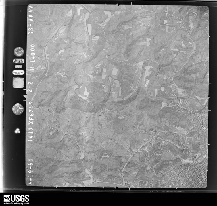
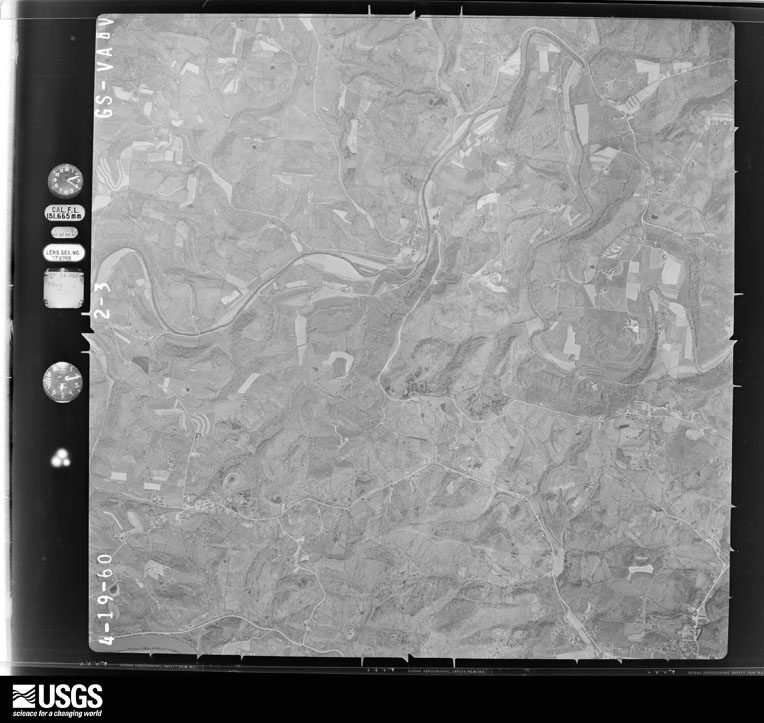
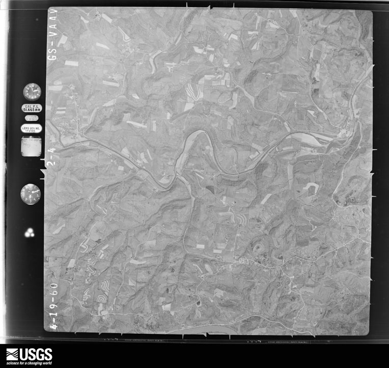
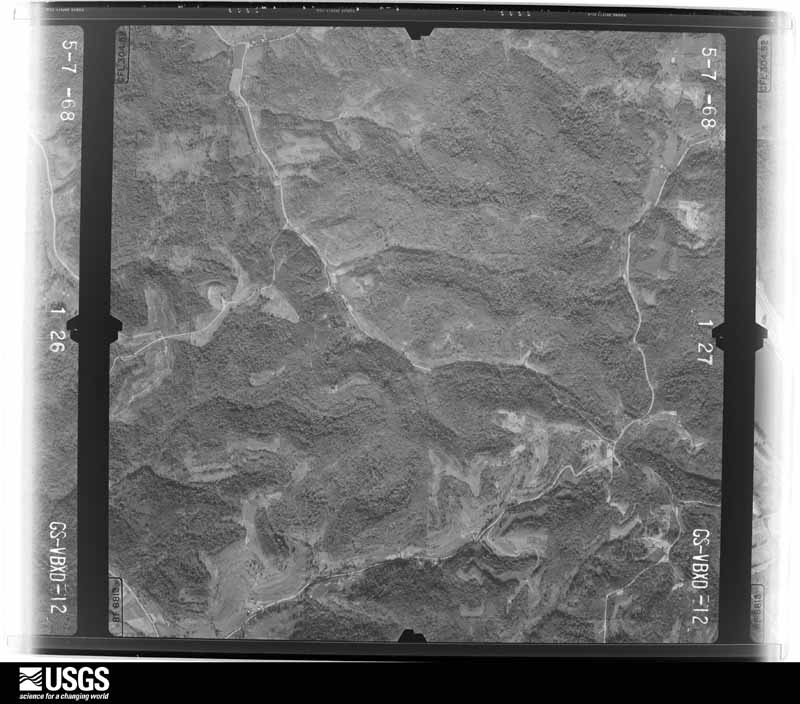
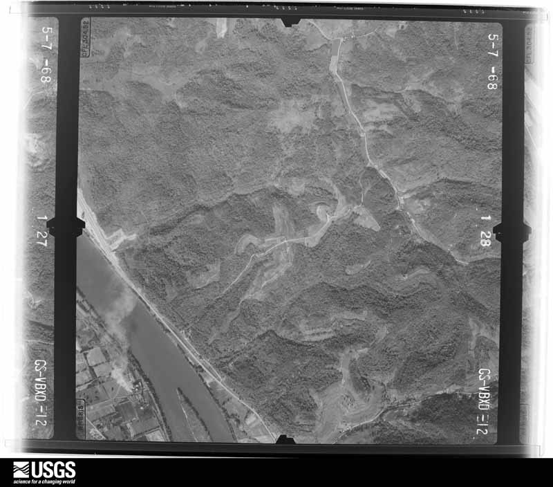
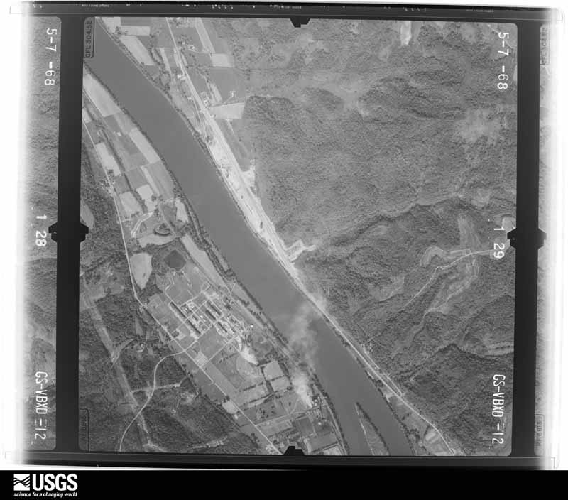
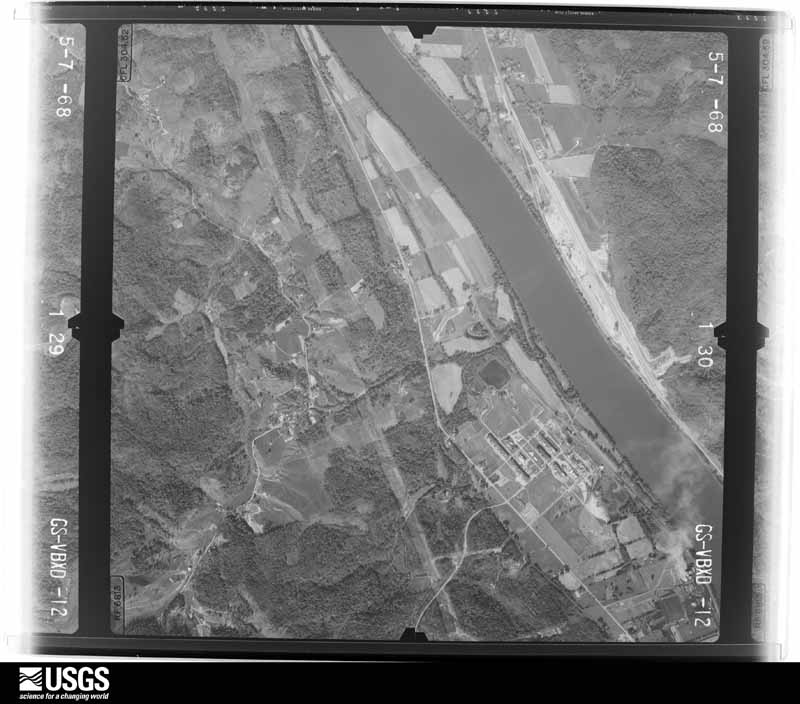
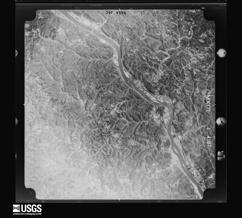
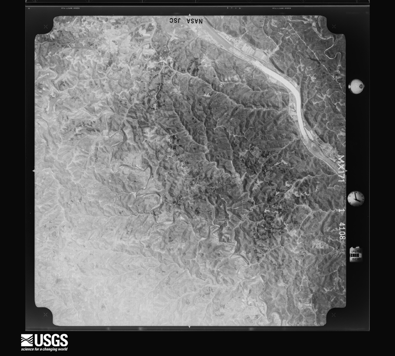
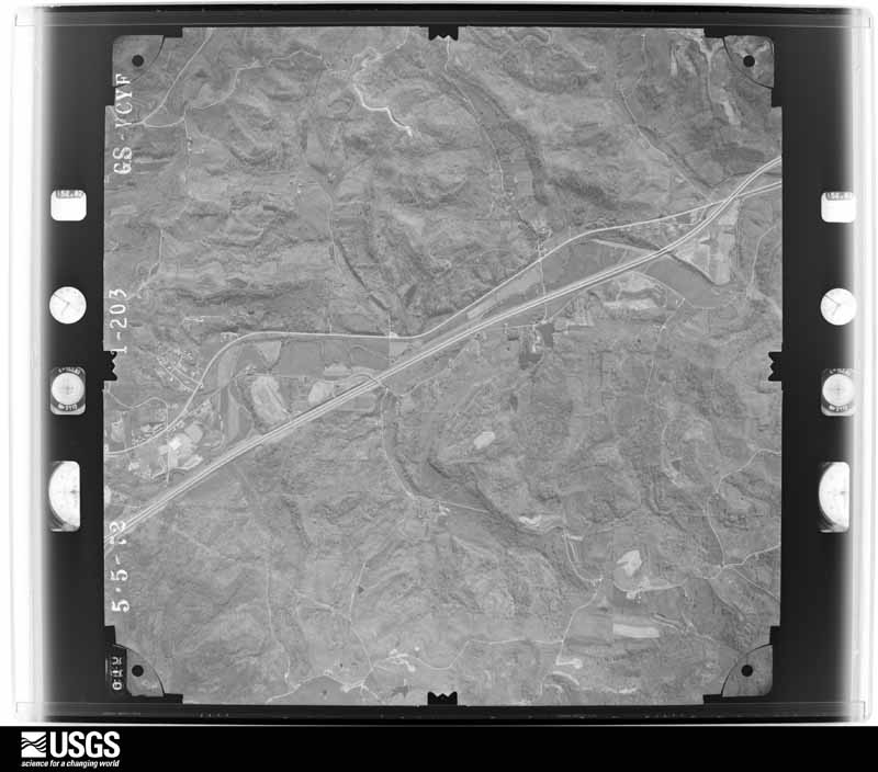
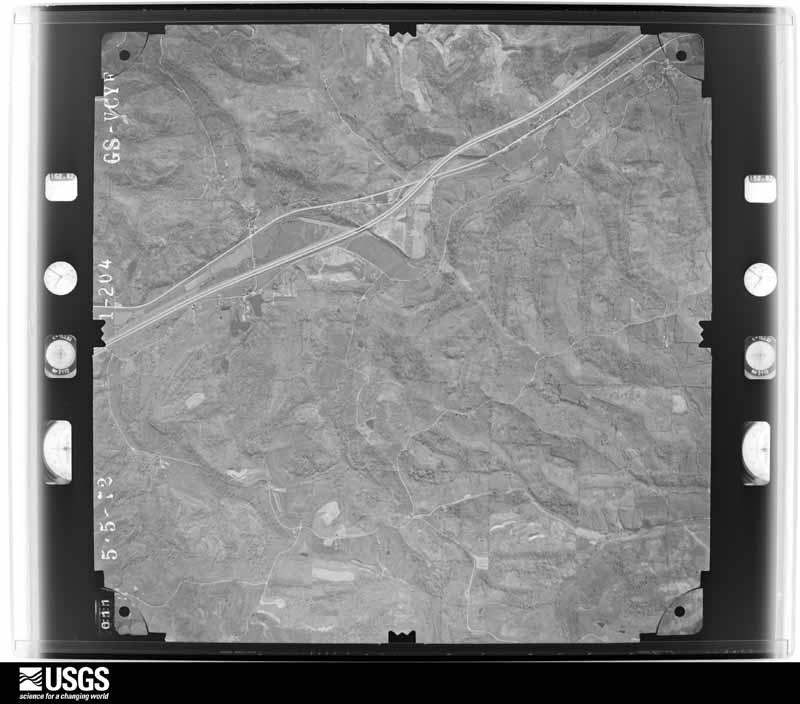
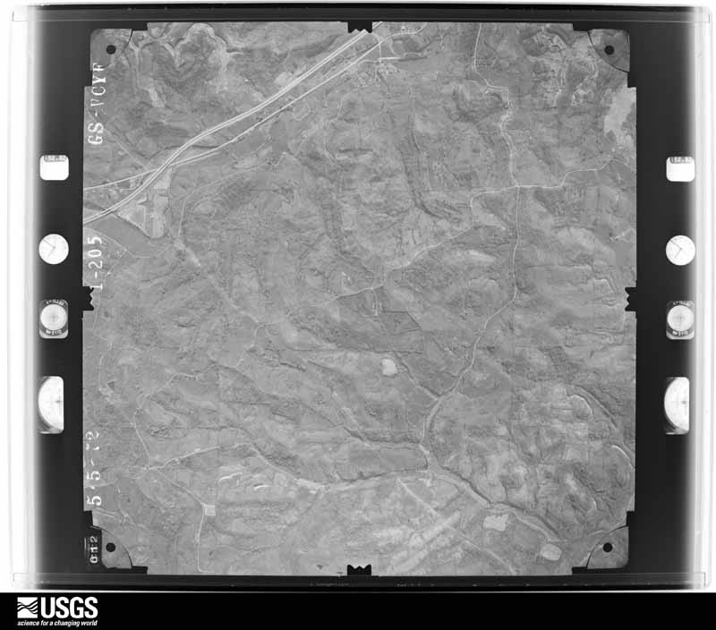
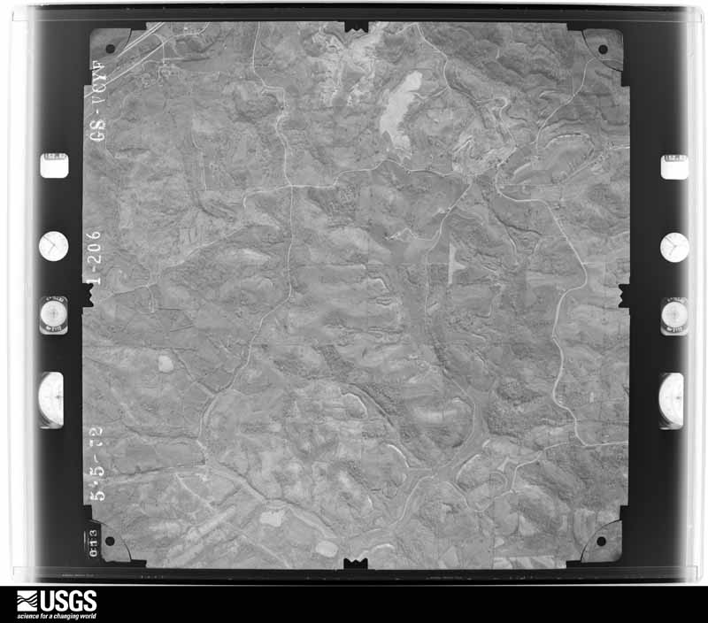
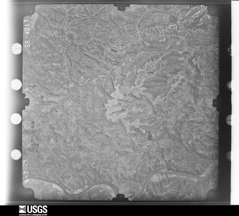
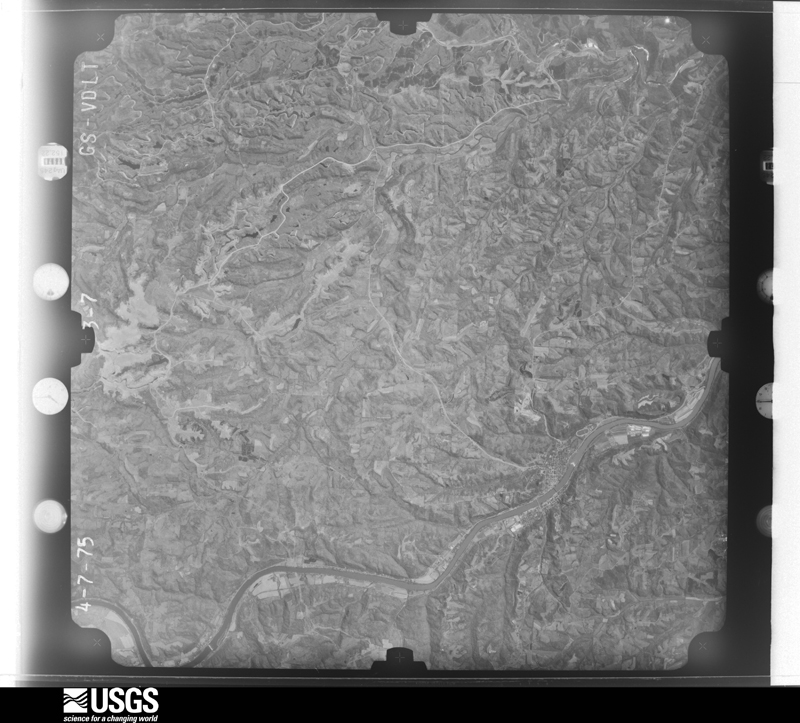
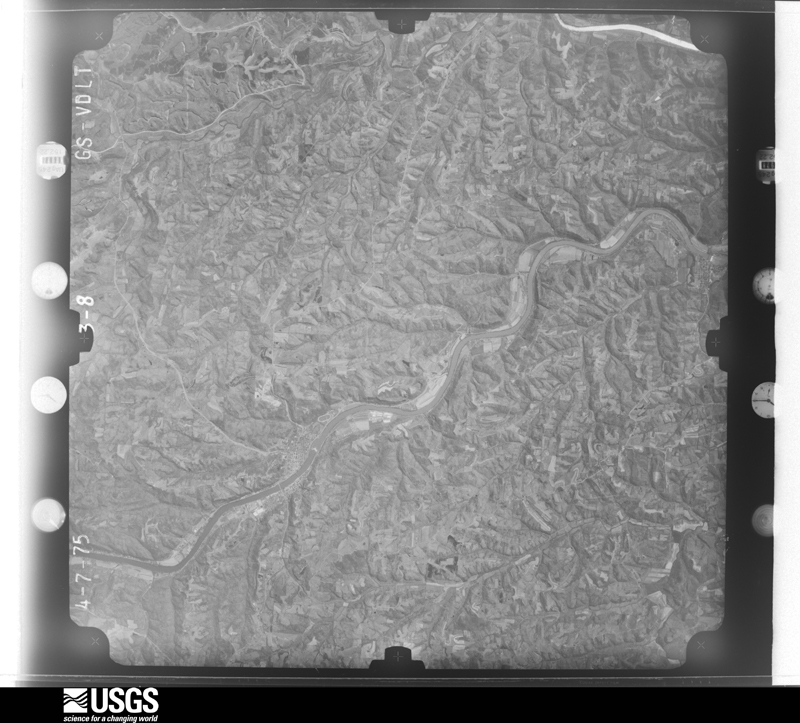
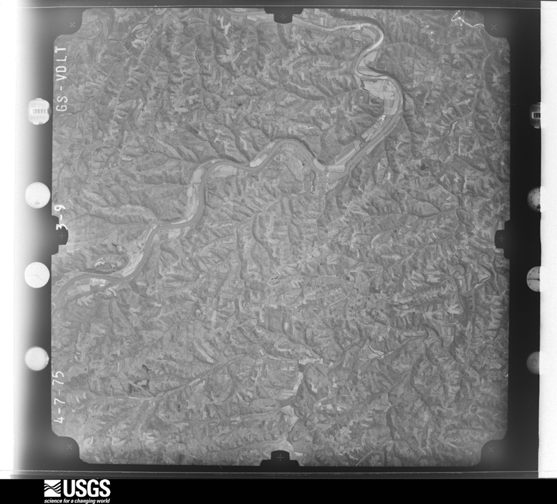
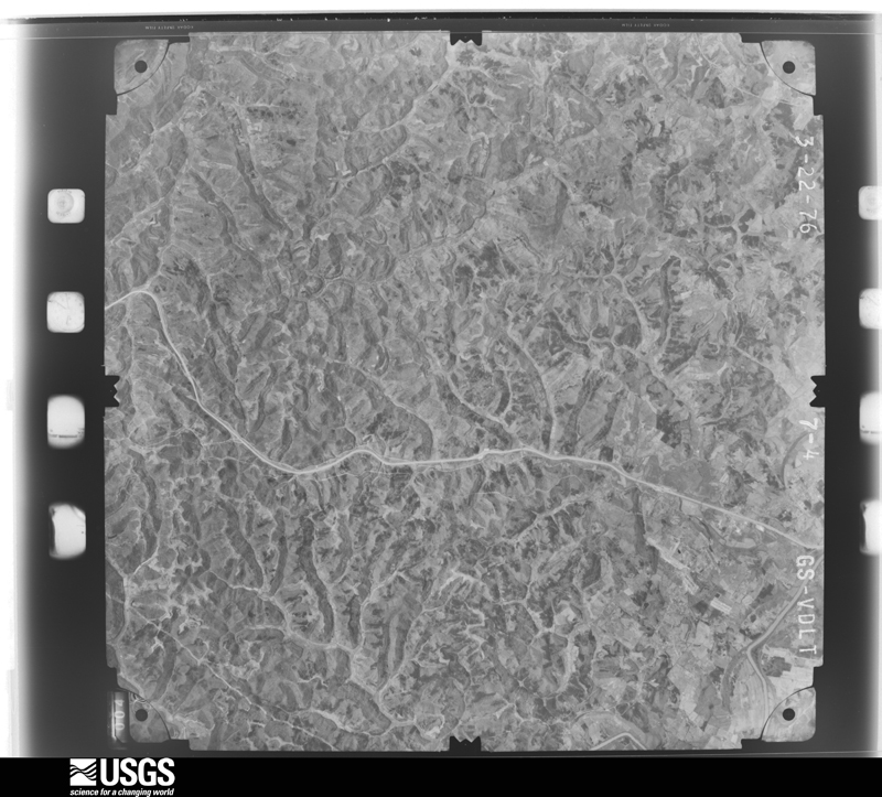
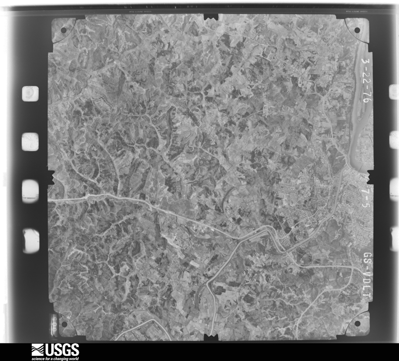
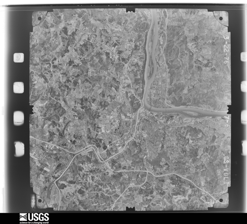
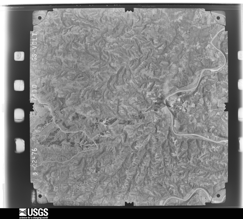
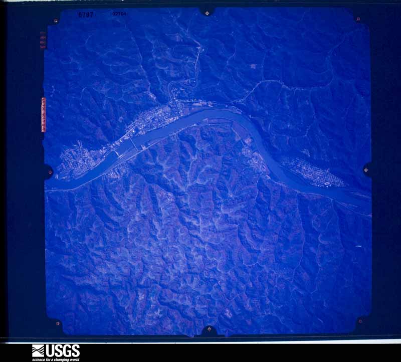
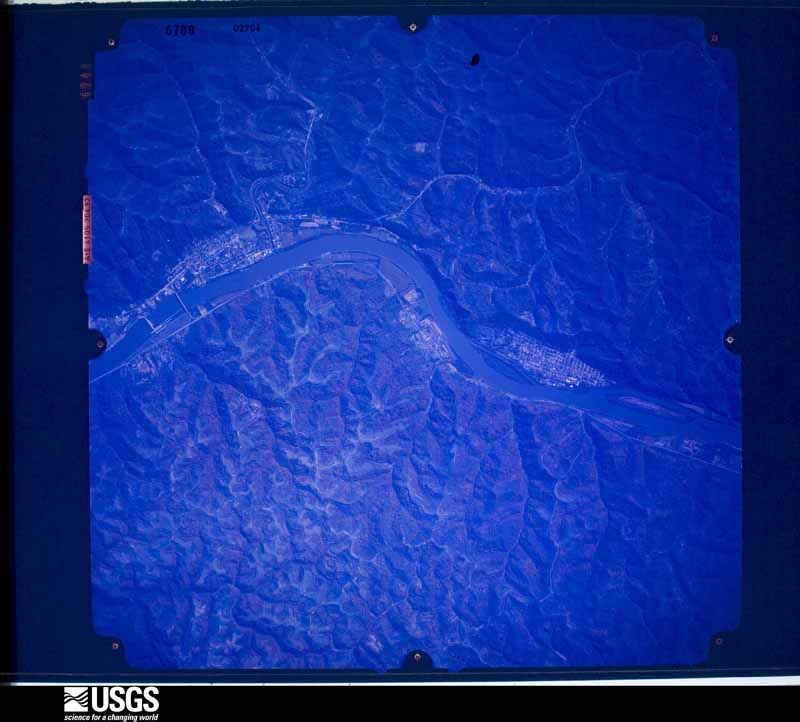
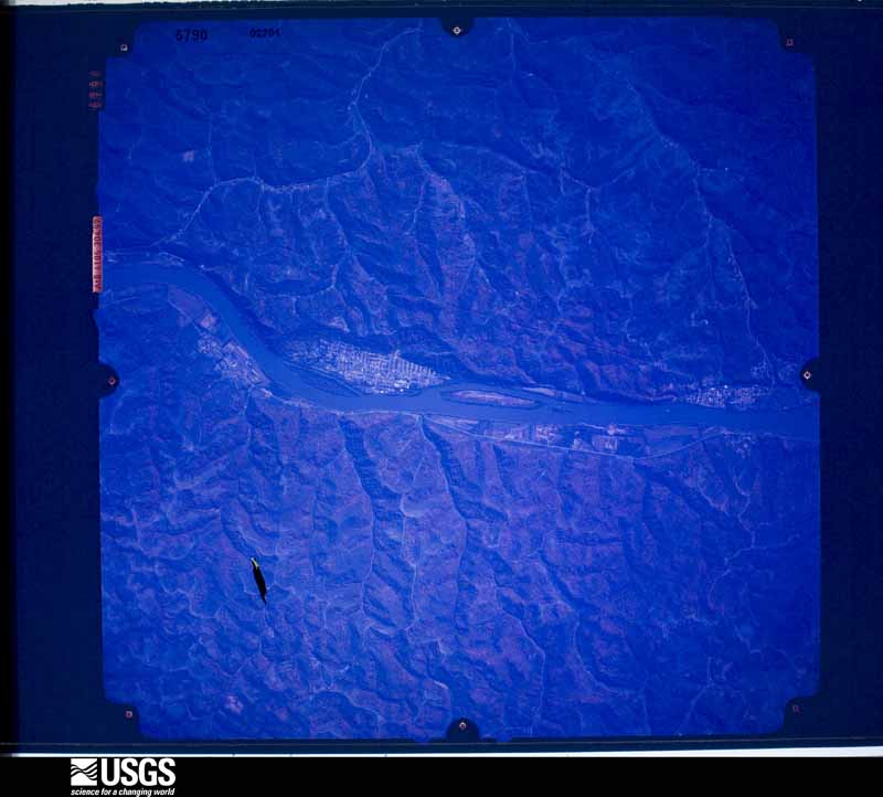
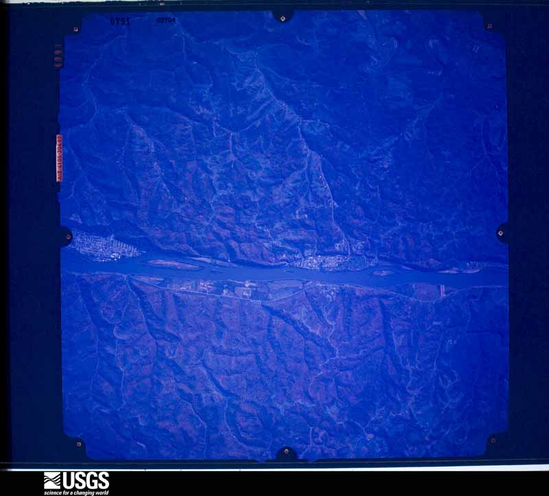
The county from the air
48 of 1,454 shown
Flown by the U.S. Geological Survey
between 1937 and 1989, the Aerial Photo Single Frames collection is
the definitive mid-century view of the land: fields, roads and rivers
as the camera saw them. 1,454 frames touch this county; the
selection below spreads across the decades of flights (at most four
per year), so one flight cannot crowd out the rest. The full set is
free to browse and download at
EarthExplorer under the dataset Aerial Photo Single
Frames.
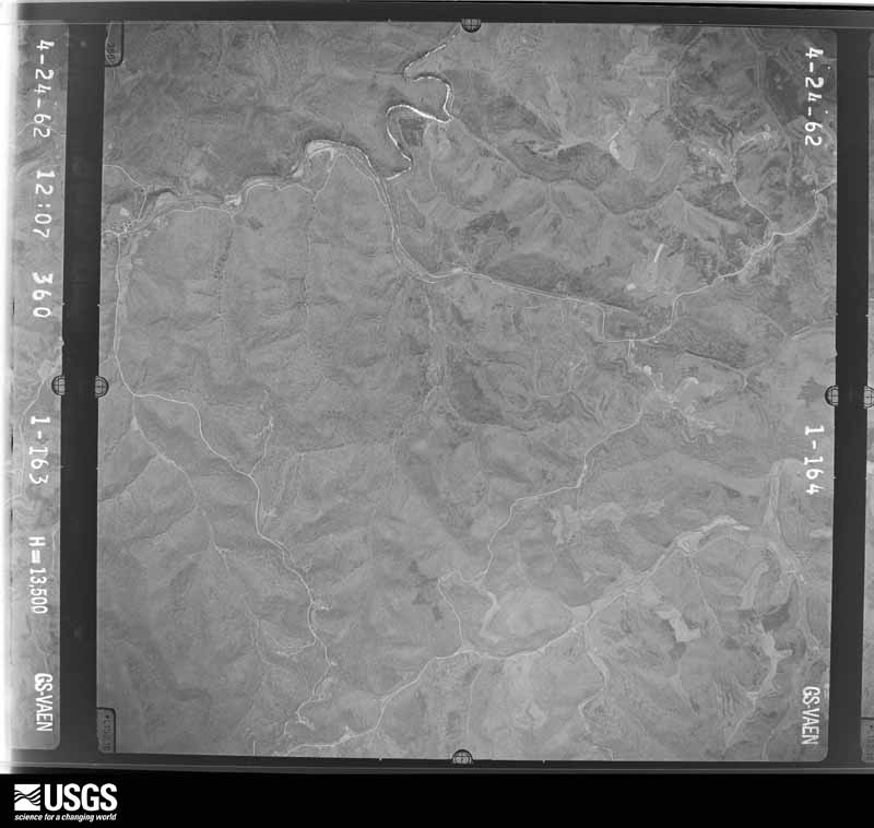
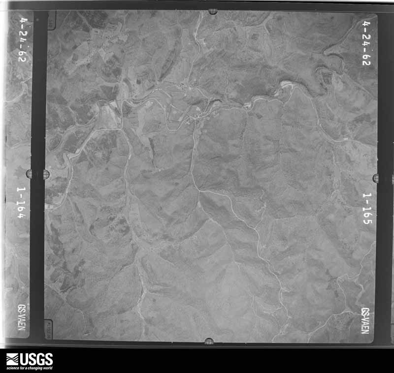
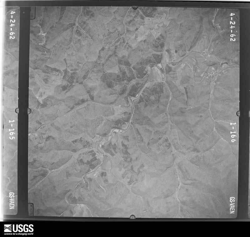
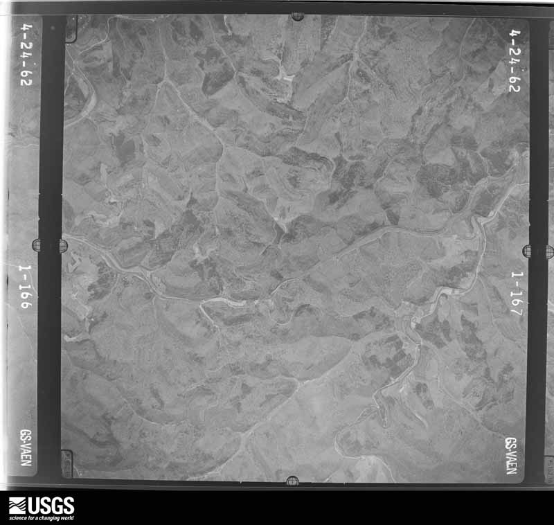
1955-04-08, scale 1:29000. U.S. Geological Survey aerial photograph.1955-04-08, scale 1:29000. U.S. Geological Survey aerial photograph.1955-04-08, scale 1:29000. U.S. Geological Survey aerial photograph.1955-04-08, scale 1:29000. U.S. Geological Survey aerial photograph.1957-04-11, scale 1:27000. U.S. Geological Survey aerial photograph.1957-04-11, scale 1:27000. U.S. Geological Survey aerial photograph.1957-04-11, scale 1:27000. U.S. Geological Survey aerial photograph.1957-04-11, scale 1:27000. U.S. Geological Survey aerial photograph.1958-04-08, scale 1:27000. U.S. Geological Survey aerial photograph.1958-04-08, scale 1:27000. U.S. Geological Survey aerial photograph.1958-04-08, scale 1:27000. U.S. Geological Survey aerial photograph.1958-04-08, scale 1:27000. U.S. Geological Survey aerial photograph.1959-02-25, scale 1:27000. U.S. Geological Survey aerial photograph.1959-02-25, scale 1:27000. U.S. Geological Survey aerial photograph.1959-02-25, scale 1:27000. U.S. Geological Survey aerial photograph.1959-02-25, scale 1:27000. U.S. Geological Survey aerial photograph.1960-04-22, scale 1:28000. U.S. Geological Survey aerial photograph.1960-04-22, scale 1:28000. U.S. Geological Survey aerial photograph.1960-04-22, scale 1:28000. U.S. Geological Survey aerial photograph.1960-04-22, scale 1:28000. U.S. Geological Survey aerial photograph.1962-04-24, scale 1:27000. U.S. Geological Survey aerial photograph.1962-04-24, scale 1:27000. U.S. Geological Survey aerial photograph.1962-04-24, scale 1:27000. U.S. Geological Survey aerial photograph.1962-04-24, scale 1:27000. U.S. Geological Survey aerial photograph.1968-05-07, scale 1:18000. U.S. Geological Survey aerial photograph.1968-05-07, scale 1:18000. U.S. Geological Survey aerial photograph.1968-05-07, scale 1:18000. U.S. Geological Survey aerial photograph.1968-05-07, scale 1:18000. U.S. Geological Survey aerial photograph.1971-04-16, scale 1:98657. U.S. Geological Survey aerial photograph.1971-04-16, scale 1:98657. U.S. Geological Survey aerial photograph.1971-04-16, scale 1:98657. U.S. Geological Survey aerial photograph.1971-04-16, scale 1:98657. U.S. Geological Survey aerial photograph.1972-05-10, scale 1:24000. U.S. Geological Survey aerial photograph.1972-05-10, scale 1:24000. U.S. Geological Survey aerial photograph.1972-05-10, scale 1:24000. U.S. Geological Survey aerial photograph.1972-05-10, scale 1:24000. U.S. Geological Survey aerial photograph.1975-04-07, scale 1:78000. U.S. Geological Survey aerial photograph.1975-04-07, scale 1:78000. U.S. Geological Survey aerial photograph.1975-04-07, scale 1:78000. U.S. Geological Survey aerial photograph.1975-04-07, scale 1:78000. U.S. Geological Survey aerial photograph.1976-03-22, scale 1:78000. U.S. Geological Survey aerial photograph.1976-03-22, scale 1:78000. U.S. Geological Survey aerial photograph.1976-03-22, scale 1:78000. U.S. Geological Survey aerial photograph.1976-03-22, scale 1:78000. U.S. Geological Survey aerial photograph.1978-10-29, scale 1:66000. U.S. Geological Survey aerial photograph.1978-10-29, scale 1:66000. U.S. Geological Survey aerial photograph.1978-10-29, scale 1:65500. U.S. Geological Survey aerial photograph.1978-10-29, scale 1:65500. U.S. Geological Survey aerial photograph.
City directories
7 volumes
The "who lived here, by year" answer:
pre-1929 public-domain directory volumes naming the county's people,
machine-read and searchable as text.
The thermometers that kept this
county's weather, and the gages that watched its rivers, as the
federal records hold them. The extremes below are measured values
from those records, not estimates.
LOWELL LOCK 31893 to 1952, hottest 40.0 C, coldest -24.4 C
Who lived here in 1950, one enumeration
district at a time, as the Census Bureau described each district.
Each row opens its official National Archives result, with Population
Schedules and ED Maps available there.
84-11Rockland - West Belpre, unincorporated: Rockland - West Belpre, unincorporated - That part Bounded by Baltimore and Ohio Railroad, Unnamed county road, Congress Run; Franklin Ave. extended, Franklin Ave., Belpre village limits; U.S. Hwy. 50; Unnamed stream
84-12Rockland - West Belpre, unincorporated - That part Bounded by U.S. Hwy. 50; Belpre village limits; State line; Unnamed stream
84-13Belpre township - That part north of State Hwy. 555 end U.S. Hwy. 50, outside Belpre village and Rockland - West Belpre, unincorporated (See separate map for boundaries of Rockland - West Belpre)
84-14Belpre township - That part south of State Hwy. 555 and U.S. Hwy. 50, outside Rockland - West Belpre, unincorporated (See separate map for boundaries of Rockland - West Belpre)
84-15Decatur township: Decatur township - That part north of the section line from the northeast corner of section 3, Township 6, Range 11 to the northwest corner of section 33, Township 6, Range 11
84-16Decatur township - That part south of the section line from the northeast corner of section 3, Township 6, Range 11 to the northwest corner of section 33, Township 16, Range 11
84-21Grandview township - That part north of State Hwy. 260, outside New Matamoras village
84-22Grandview township - That part south of State Hwy. 260 and north of the section line from the northwest corner of section 11, Township 2. Range 6, east to County line, outside New Matamoras village
84-23Grandview township - That part south of the section line from the northwest corner of section 11, Township 2, Range 6 east to County line
84-24Independence township: Independence township - That part north of the section line from the northeast corner of section 15, Township 2, Range 6 to the northwest corner of section 33, Township 2, Range 6
84-25Independence township - That part south of the section line from the northeast corner of section 15, Township 2, Range 6 to the northwest corner of section 33, Township 2, Range 6
84-26Lawrence township: Lawrence township - That part north of State Hwy. 26
84-27Lawrence township - That part south of State Hwy. 26
84-30Marietta city, comprising parts of Marietta and Muskingum townships: Marietta city - That part of Ward 1 in Marietta township Bounded by City limits; City limits; Acme; Greene
84-31Marietta city - That part of Ward 1 in Marietta township Bounded by Greene; Acme; Phillips
84-32Marietta city - That part of Ward 1 in Marietta township Bounded by City limits; City limits; Greene; Vine
84-33Marietta city - That part of Ward 1 in Marietta township Bounded by Glendale Rd., Ward line, City limits; Vine; Greene; 5th, Butler, 7th
84-34Marietta city - That part of Ward 1 in Marietta township, excluding Lafayette Hotel Bounded by Ward line, Butler; 5th; City limits; Muskingum River
84-35Lafayette Hotel (In Marietta city, Ward 1, Marietta township)
84-36Marietta city - That part of Ward 1 in Marietta township Bounded by Greene; 7th; City limits; 5th
84-37Marietta city - That part of Ward 1 in Marietta township Bounded by Greene, Phillips; Acme, City limits; City limits; 7th
84-38Marietta city - That part of Ward 2 in Marietta township Bounded by Washington, Ward line; City limits; Ward line, Glendale Rd.; 7th
84-39Marietta city - That part of Ward 2 in Marietta township Bounded by Washington; 7th; Butler; 5th
84-40Marietta city - That part of Ward 2 in Marietta township Bounded by Ward line, Washington; 5th; Wooster, Wooster extended; Muskingum River
84-41Marietta city - That part of Ward 2 in Marietta township Bounded by Wooster extended, Wooster; 5th; Scammel, Scammel extended; Muskingum River
84-42Marietta city - That part of Ward 2 in Marietta township Bounded by Scammel extended, Scammel; 5th; Butler, Ward line; Muskingum River
84-43Marietta city - That part of Ward 3 in Marietta township Bounded by City limits, Township line; City limits; Ward line, Washington; 11th Ave., Warren
84-44Marietta city - That part of Ward 3 in Marietta township Bounded by City limits; Oak Ave., Montgomery; 3rd
84-45Marietta city - That part of Ward 3 in Marietta township Bounded by City limits; 3rd; Montgomery; Muskingum River, City limits
84-46Marietta city - That part of Ward 3 in Marietta township Bounded by Montgomery; 5th; Warren; Muskingum River
84-47Marietta city - That part of Ward 3 in Marietta township Bounded by Warren; 5th; Washington; Muskingum River
84-48Marietta city - That part of Ward 3 in Marietta township Bounded by Warren; 11th Ave.; Washington; 5th
84-49Marietta city - That part of Ward 3 in Marietta township Bounded by Montgomery, Oak Ave.; City limits; Warren; 5th
84-50Marietta city - That part of Ward 4 in Marietta township Bounded by City limits; Muskingum River; Baltimore and Ohio Railroad, Maple; Maple extension, Bellevue, Fairview Ave., City limits
84-51Marietta city - That part of Ward 4 in Marietta township Bounded by Fairview Ave.; Bellevue; Lord extended; City limits
84-52Marietta city - That part of Ward 4 in Marietta township Bounded by Lord extended, Bellevue, Maple extension, Maple; Baltimore and Ohio Railroad; City limits
84-53Marietta city - That part of Ward 4 in Marietta township Bounded by Baltimore and Ohio Railroad; Muskingum River; City limits; City limits
84-54Marietta city - That part of Ward 3 in Muskingum township Bounded by City limits; City limits; Township line; City limits
84-55Marietta township. outside Marietta city: Marietta township - That part east of Muskingum River and north of State Hwy. 26, outside Marietta city
84-56Marietta township - That part south of State Hwy. 26 and north of Little Muskingum River, outside Marietta city
84-57Marietta township - That part south of Little Muskingum River
84-58Marietta township - That part west of Muskingum River, outside Marietta city (Remainder of Marietta township is in Marietta city)
84-59Muskingum township, outside Marietta city: Muskingum township - That part east of Muskingum River, outside Marietta city
84-60Muskingum township - That part west of Muskingum River (Remainder of Muskingum township is in Marietta city)
84-61Newport township: Newport township - That part east of Township Rds. 17 and 19 end south of U.S. Hwy. 50 (Alt.)
84-62Newport township - That part north of County Rd. 20, Township Rds. 20 and 17 and west of township Rd. 19
84-63Newport township - That part south of County Rd. 20, Township Rds. 20 and 17, west of Township Rd. 17 and north of U.S. Hwy. 50 (Alt.)
84-71Waterford township - That part east and north of Muskingum River, outside Beverly village
84-72Waterford township - That part west of Muskingum River and State Hwy. 76
84-73Waterford township - That part east of State Hwy. 76 and south of Muskingum River
84-74Watertown township: Watertown township - That part east of State Hwy. 76
84-75Watertown township - That part west of State Hwy. 76
84-76Wesley township: Wesley township - That part north of U.S. Hwy. 50 (Alt.)
84-77Wesley township - That part south of U.S. Hwy. 50 (Alt.)
Wildfire, 1992 to
2020
519 fires
Every wildfire the federal occurrence
database records inside this county: 519 of them, burning about
1,348 acres. 9 started naturally and 52 were
recorded as arson. Each settlement page carries the fires within five
miles of it.
Reported cause
Fires
Debris and open burning
212
Equipment and vehicle use
73
Power generation/transmission/distribution
57
Arson/incendiarism
52
Missing data/not specified/undetermined
40
Misuse of fire by a minor
26
Smoking
26
Recreation and ceremony
14
Natural
9
Other causes
5
Fireworks
4
Railroad operations and maintenance
1
The five largest, by the area the report
gives. Four of them were set deliberately.
Date
Cause
Size
Reported by
Name on the report
25 November 2014
Equipment and vehicle use
70 acres
West Virginia Division of Forestry
SCHULTZ FORK
30 October 1996
Arson/incendiarism
60 acres
West Virginia Division of Forestry
WOOD CO/RITCHIE CO. LINE
7 March 2001
Arson/incendiarism
55 acres
Wayne National Forest
BELL
20 April 2020
Missing data/not specified/undetermined
50 acres
Ohio Department of Natural Resources
15706
22 November 1994
Arson/incendiarism
40 acres
West Virginia Division of Forestry
MIDDLE FORK OF LEATHERBERNT
23 October 2008
Missing data/not specified/undetermined
40 acres
Ohio Department of Natural Resources
NOBLE CO. ASSIST
16 March 1995
Arson/incendiarism
36 acres
West Virginia Division of Forestry
SHULTZ ROAD
31 October 2008
Missing data/not specified/undetermined
30 acres
West Virginia Division of Forestry
not named
Every settlement page carries the fires within five
miles of it - see the settlement index below.
Storms, 1971 to
2026
60 of 507 shown
The
NOAA Storm Events Database holds
507 reports for this county, causing 2 deaths,
10 injuries and about $19,774,200 in recorded property damage.
Each settlement page carries the reports that name it.
Kind of event
Reports
Thunderstorm Wind
181
Flood
167
Hail
105
Flash Flood
34
Tornado
8
Lightning
7
Heavy Rain
3
Funnel Cloud
2
The most serious of them, by death, then
injury, then recorded damage. The accounts are quoted exactly as the
forecast office filed them.
The Ohio River gauge at Willow Island Lock rose above its flood stage on the morning of April 3rd, then reached a crest of around 41.3 feet the morning of the 5th. The river then receded below flood stage the next morning. With the river spilling out of its banks, water inundated Ohio Route 7 in the Reno area. Ohio State Route 7, Township Road 443, and Township Road 19 at Newell Run and Lenards Landing flooded.||During the time the river was out of its banks, a 42 year old man perished after attempting to drive through the floodwaters on State Route 7 just north of Archer Fork Road.
A double wide mobile home was destroyed after its roof was blown off. The home was located on Warren Township Road 277. Seven people were in the home at the time, 3 were taken to the hospital with minor injuries and later released. The National Weather Service survey estimated winds of 60 to 70 mph from the microburst.
Two men were stuck by separate lightning bolts. One was in Muskingum Township, the other was from Waterford Township. They were treated and released from Marietta hospitals.
Scattered locations throughout the county had trees or large branches blown down. Nine of the 10 power substations in the county were in the dark. Nearly 25,000 customers lost electricity. The public infrastructure damage assessment was around $975,000.
Numerous large trees were blown down by strong wind gusts. The wind was associated with a bow echo configuration to the thunderstorms. Wind gusts of around 70 mph likely occurred. Several homes and businesses were hit by fallen trees. Residents described the aftermath in the hardest hit portions of downtown Marietta as looking like a war zone.
Widespread flash flooding occurred across southern Washington County during the predawn hours. Widespread street flooding occurred in Belpre and Marietta with basement flooding. One resident reported 2 feet of water in their basement. ||Near the mouth of Mill Branch with the Little Hocking River, vehicles were flooded and water got into several homes. Also along the Little Hocking River, 2 cars were submerged along Oxbow Road. The water was 2 to 4 feet deep in spots. An 18 year old female from 1 of the vehicles made it safely out, but her truck was submerged in a soy bean field off the road. Minor flooding occurred in a school west of Fleming.
Rains of 2.5 to 4.5 inches fell in less than 3 hours. The 24 hour rain amount from the cooperative observer at Newport was 4.7 inches. The Marietta cooperative observer had 2.94 inches. Streams such as Long Run and Newell Run flooded and forced a few evacuations. Many residents were stuck in their homes. The Newport fire chief said, We couldn't get to them because they couldn't see the bridges. Basically every direction we went there was rushing water, it looked like a whitewater river.||More urban streams such as Goose Run flooded basements around Marietta.
Rains of 2.5 to 3 inches fell in 90 minutes or less. Roads were flooded. One vehicle was flooded by Tupper Creek. Warren Township had water into several basements. A few evacuations were required along Route 150.
The tornado occurred on County Route 32 near the old power plant in Waterford. On its one mile trek, the tornado destroyed a barn, threw a piece of wood from the barn through the wall of a house and into its kitchen, and shifted several trailers, cottages, and outbuildings off their foundations. The storm deposited roofing debris on the other side of the Muskingum River, in the town of Beverly.
The city's safety-service director said more than 100 trees were downed in the city. He estimated wind gusts of around 70 mph. Roofs were damaged by fallen trees. Some city residents even reported their vehicles were lifted off the pavement.
The larger streams and headwater rivers were above bank full, closing roads. This included the Little Muskingum River at Bloomfield. The river crested around 20.4 feet during the late afternoon on the 9th, with bank full around 16 feet. The stream gauge on Duck Creek at Whipple eventually crested on the 9th around 14.4 feet. The crest at Beverly on the Muskingum River was around 31.5 feet around 0000E on the 10th. Flood stage is 29 feet. This level was the highest level, since the gauge was installed back in 2012. ||The additional rain early on the 10th, prolonged the minor flooding. Rain of 1 to 1.25 inches was common along the front.
Trees fell onto power lines and blocked streets. One tree fell onto a car. The roof was damaged at a home on 5th Street. Two trees toppled against a Lancaster Street house.
An old ridgetop church on Route 3 in Decaturville burned down, after it was struck by lightning. Firefighters from 4 departments salvaged an organ and a few keepsakes of the church.
Thunderstorms moved from east to west crossing the Ohio River from West Virginia. The city of Marietta hauled 130 loads of fallen limbs away over a eight day cleanup period. At least two homes were damaged. A dairy barn was heavily damaged in Warren Township. A tree fell onto a car in Belpre.
Trees and power lines were blown down, damaging at least 4 homes and 2 vehicles, in the Lower Muskingum River Valley communities of Devola, Oak Grove, and Marietta.
Many streams, including Duck Creek and the Little Muskingum River flooded and closed roads. At Whipple, Duck Creek rose 12 feet in the vertical and crested around 0100E on the 5th. Near Bloomfield, the Little Muskingum rose 20 feet and crested during the evening of the 4th.
Marietta measured 2 inches of rain in 90 minutes. In that community, cars were stranded, and a few homes received water damage. Route 618 was damaged near Belpre.
Trees and power lines fell, damaging roofs in town. Several streets were blocked by fallen tree branches. An F2 tornado was occurring across the Ohio River, near Lubeck in Wood County of West Virginia.
A downburst produced intermittent wind damage across eastern Washington County. The damage began, and was most widespread around Wingett Run where one barn was destroyed and a house had minor roof damage and the glass broken out of a storm door. The damage then extended eastward to the Ohio River in New Matamoras. Hundreds of trees were uprooted or snapped and numerous power lines were taken down along the roughly 9 mile path.
A National Weather Service storm survey team found damage consistent with a microburst. Many trees were damaged, snapped or uprooted along the 2.5 mile path. Three buildings suffered damage. Near the start of the microburst, along Wildwood Lake Road, the roof of a porch was ripped from a house, flipped over the top and deposited on the road. About half a mile from there, an open-sided machine shed near Welch Road had much of the tin roof ripped off. Towards the end of the path, along State Route 555, another porch was damaged by the microbust winds.
With repetitive rounds of showers and thunderstorms, Duck Creek rose late on the 9th and reached bankfull by the 10th. The stream gauge at Whipple crested at 16.39 feet during the evening of the 10th. Yet, the creek remained in flood through most of the 11th.||Numerous roads were blocked, including Route 821 south of Whipple and Route 145 near Lower Salem. This caused residents to seek alternate routes. One county road was damaged by the high water. One person was evacuated as a precaution, as water surrounded her house. Water from a feeder creek was 8 to 10 inches deep in a fire station.||Other creeks, like Cat Creek near Lowell, also flooded some roads.
The first damage was found near Glenwood Lane where mutiple trees were damaged. The rain gutters of a house were damaged by falling tree branches. More tree damage was found along Windy Point Drive and Grant Edwards Drive. A large tree was snapped and fell onto the corner of a house causing roof damage. Damage went further east to near Sherry Drive. At least 1 vehicle was damaged.
Straight line wind damage occurred near McDonald Road. The path was approximately 300 yards wide and three quarters of a mile long. ||A survey team estimated a maximum wind gust of 85 mph.||A home along McDonald Road had some flashing ripped off with debris logged into its siding. Debris also broke a few windows. A small section of a barn roof was blown off. An old wooden garage, that was used as storage, was shifted off its foundation after its door was blown in. ||Several trees and large branches were damaged. Some trees were snapped off. Old corn stalks were leveled in a field.
Rain amounts were estimated at 1.5 to 2.5 inches across portions of eastern Washington County. On the southern fringe of the area, the cooperative observer at Newport measured 1.6 inches. ||Small streams overflowed onto roads, causing minor damage. One example was Archers Fork in the Wayne National Forest. One half of a new modular home was destroyed along Archers Fork. The home had not yet been set on its foundation. It floated down the flooded stream and smashed against a bridge.
Downpours associated with severe thunderstorms overwhelmed the city drainage system, causing brief street flooding. Water got into a few basements. The cooperative observer measured 2.6 inches for its 24 hour rain amount, most of which fell within about 2 hours.
Thunderstorms moved from east to west crossing the Ohio River from West Virginia. The city of Marietta hauled 130 loads of fallen limbs away over a eight day cleanup period. At least two homes were damaged. A dairy barn was heavily damaged in Warren Township. A tree fell onto a car in Belpre.
A brief EF0 tornado occurred off of Tullis Road, southwest of Bartlett. The estimated strongest wind gust was around 85 mph.||Several trees were uprooted and numerous large branches were snapped. One house and an outbuilding were damaged, mainly to the roof and siding. Also, a small aluminum boat was thrown from the edge of the pond, 140 yards and wrapped around a tree.
Water was 2 to 3 feet on several secondary roads. Route 26 was flooded in 4 locations. One county road had one lane washed out by the Little Muskingum River near the covered bridge at Hills. .
The Muskingum River at Beverly rose above its flood stage on the evening of April 2nd. The river crested to around 34.7 feet the following morning and then returned below flood stage on the morning of the 4th. While the river spilled out of its banks, several areas near the river flooded, as did farmland and several sections of Route 60.
Several trees were blown down on Bear Run Road, County Road 12, and County Road 14.
Mines and
quarries
16 recorded
The Survey's mineral resources record
lists 16 workings inside this county. 12 still
produce and 4 are closed or unrecorded. Each settlement
page carries the workings within five miles of it.
Commodity
Workings
Sand and Gravel, Construction
10
Stone, Crushed/Broken
3
Thorium, REE
1
Iron, Chromium
1
Manganese, Chromium
1
Iron
1
Manganese
1
The least common of them first, because a
county's hundredth gravel pit says nothing its first ten did not.
Museum specimens collected inside this
county and catalogued with a date and a place: 2,612 of them, by
kingdom 2,174 animalia, 260 fungi, 170 plantae, 6 chromista, 2 unrecorded. Each is a physical object in a named collection, not a
sighting. Held by Ohio State University - Fish Division, Columbus, OH (OSUM), MSU, OSUC, CM, USNM, INHS among others, and each settlement page carries
the specimens collected near it.
The oldest of them. A specimen proves
something was collected on that day; its absence proves nothing.
History of Marietta and Washington County, Ohio, and Representative Citizens devotes a chapter to each township:
its boundaries and streams, who settled it and when, the mills, the
schools and the churches. All 22 are reproduced here in full. Each row
shows the township's own shape and where it lies in the county, drawn from
the Census Bureau's boundary. Which settlements belong to which township
is computed from that same boundary, not taken from the book.
Everyone History of Marietta and Washington County, Ohio, and Representative Citizens stops to write about, with
the section that describes them. Among them are the men who founded the
place and governed the Territory. Each name opens the passage itself, in
the words of 1902.
Named settlements recorded in the Geographic Names
Information System, each with the topographic sheets covering it. Villages,
hamlets and abandoned places alike. Each is shown with the watercourse or
landform it stands on and the survey quadrangle it falls on. The 3
places that were also surveyed for fire insurance come first, with the
number of atlases and photographs held for them.
The complete index, with nothing left out.
Each of these is a separate record with its own page: a federal survey
report, or the case file that argued a property on to the National
Register. Both are public domain and reproduced word for word.
Topographic sheets. USGS Historical Topographic Map Collection, county index, measured from the bulk metadata.
Fire insurance maps. Library of Congress Sanborn collection, faceted to this county.
Photographs. Each place queried individually against the Library of Congress Prints and Photographs search.
Wildfire. Short, Karen C. 2022. Spatial wildfire occurrence data for the United States, 1992-2020 [FPA_FOD_20221014]. 6th Edition. Fort Collins, CO: Forest Service Research Data Archive. https://doi.org/10.2737/RDS-2013-0009.6 Collected with United States Government funding and usable without additional permissions or fees.
Specimens. Global Biodiversity Information Facility (GBIF), https://www.gbif.org/. Only records licensed CC0 or CC BY are used. Records licensed CC BY-NC are excluded because this site carries advertising. Images are checked individually and any whose licence is non-commercial, no-derivatives or unreadable is refused.
Mines and quarries. USGS Mineral Resources Data System (MRDS) https://mrdata.usgs.gov/mrds/ A work of the United States government, no copyright under 17 U.S.C. 105.
Storms. NOAA National Centers for Environmental Information, Storm Events Database https://www.ncei.noaa.gov/stormevents/ A work of the United States government, no copyright under 17 U.S.C. 105. Narratives are quoted verbatim from the National Weather Service report and are not edited or summarised.
 Block
Block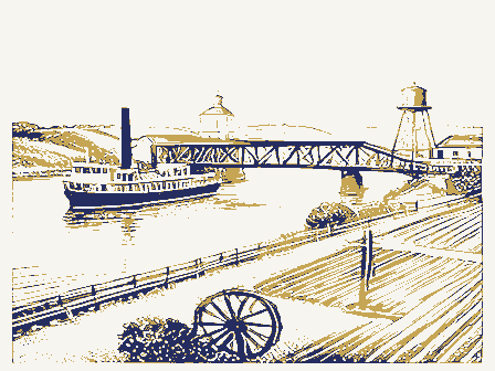
![[Map of W. Dall's lots in Athens County, Washington County, and Gallia County, Ohio], Boston Public Library - undated](assets/dpla_f40f88860d51649d.jpg)