 Block
Block
Fay, Ohio
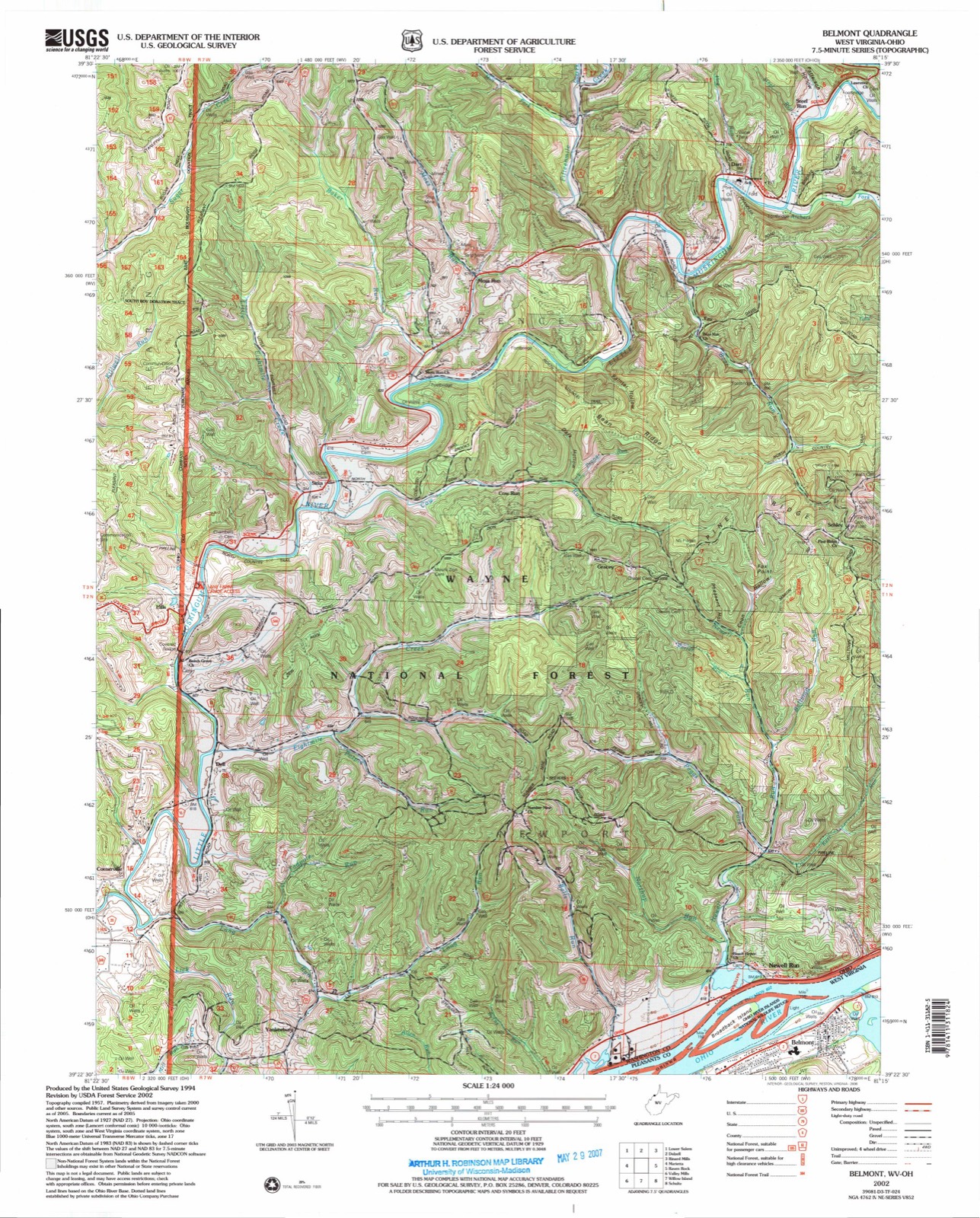
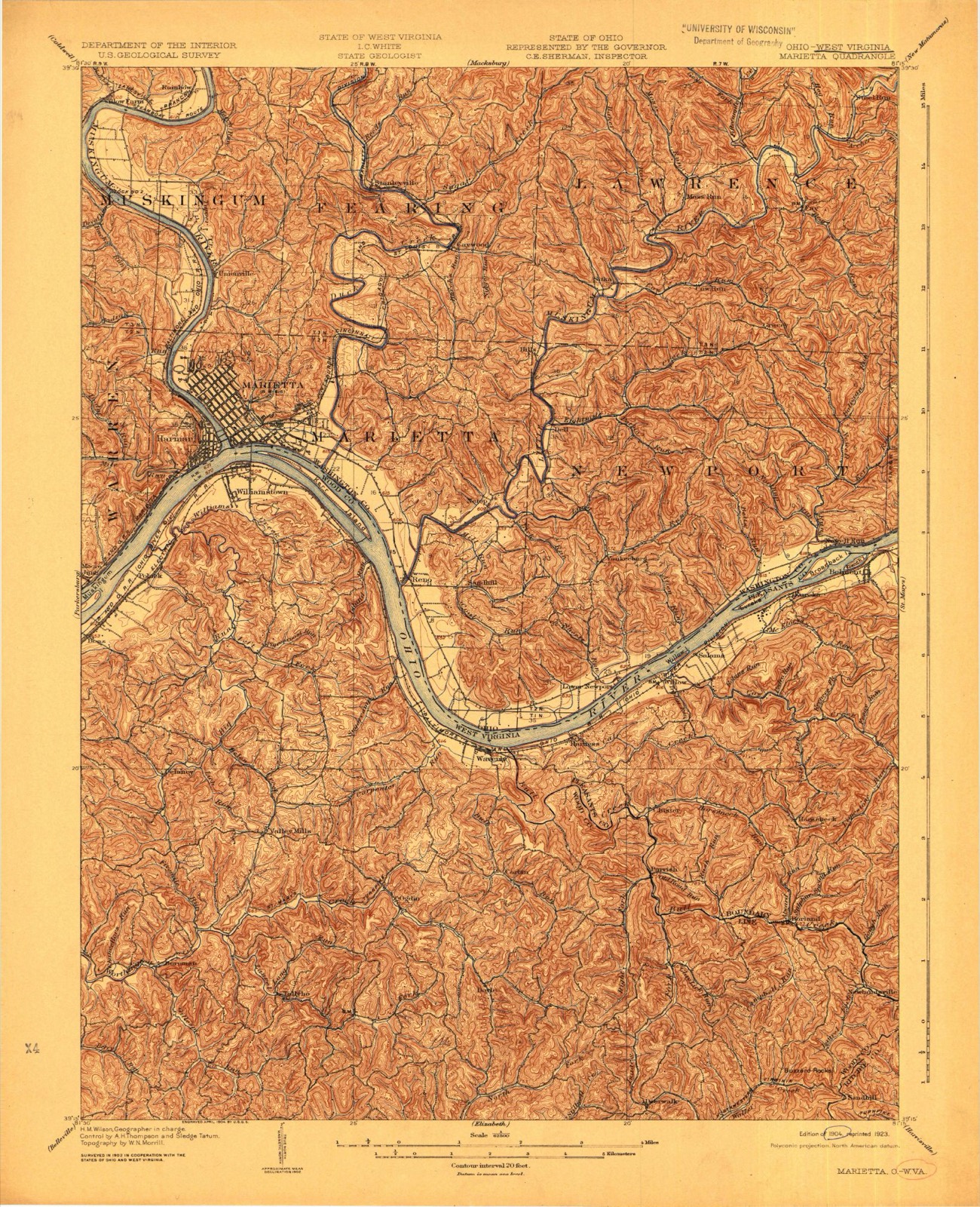
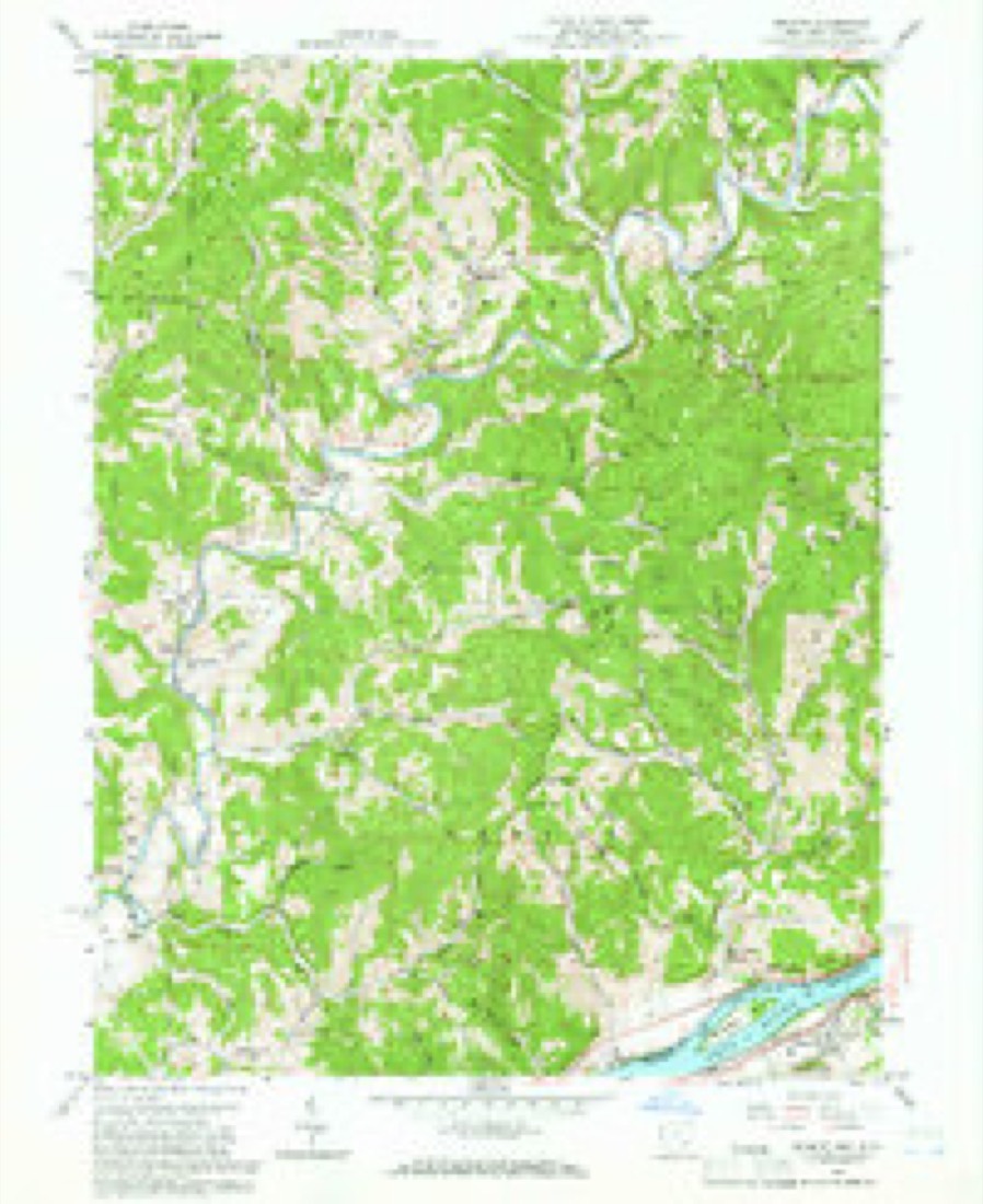
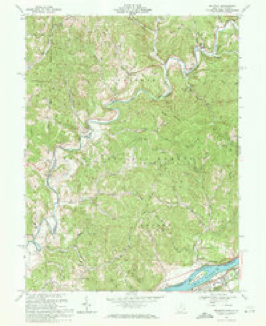
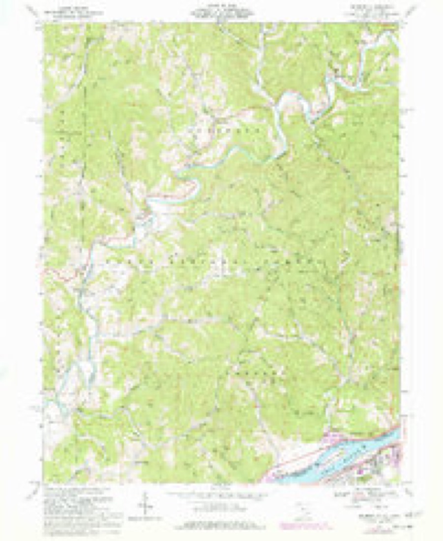
19 topographic sheets cover this place, the earliest surveyed in 1904 and the latest in 2002. It stands in Lawrence Township. It lies in ZIP code area 45750. It stands on Bear Run. The Survey maps it on the Belmont quadrangle.
Then and now
1904 to 2002The same ground, surveyed 98 years apart. Drag the handle to wipe between them. Both sheets are United States Geological Survey originals; neither has been altered.
Compare 1904 against another survey:
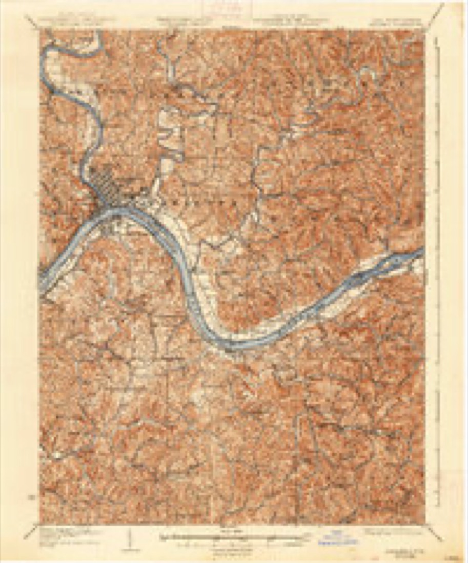
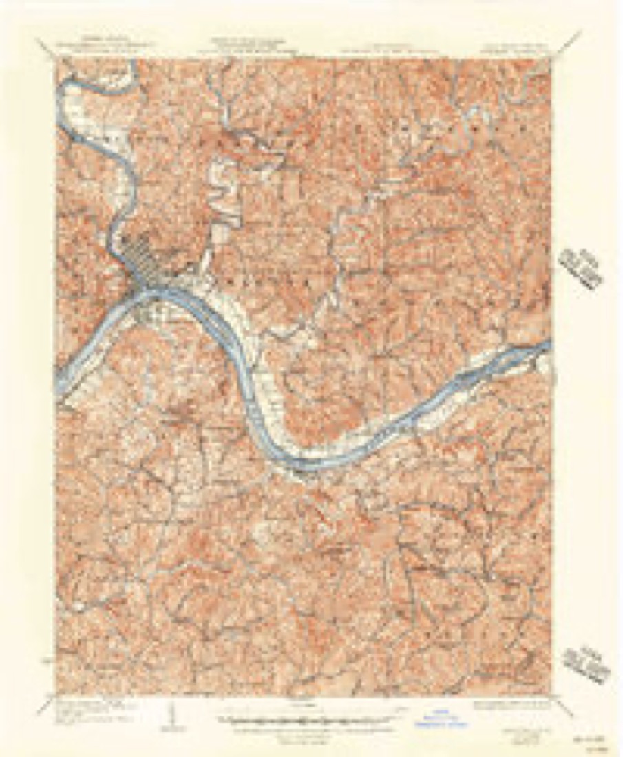
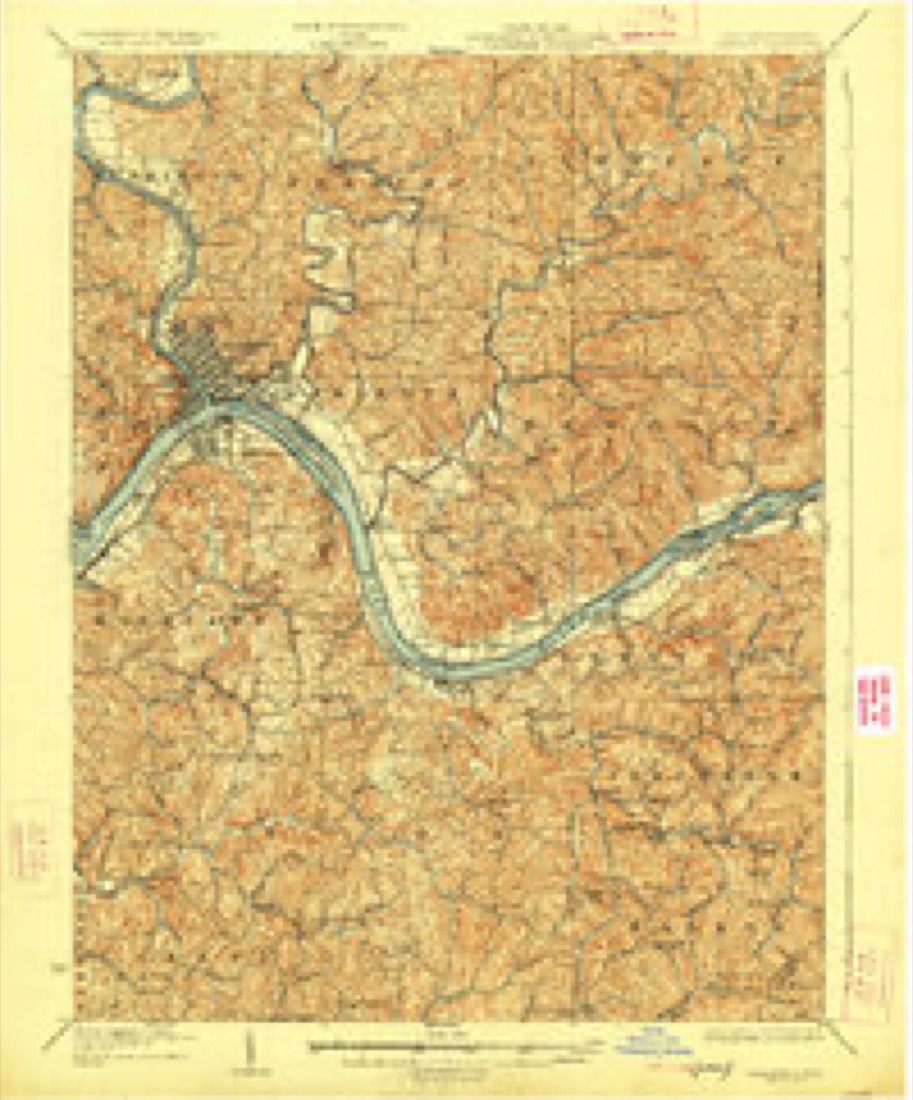
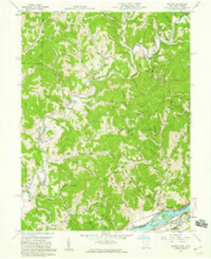
Topographic sheets covering this place
19 sheetsMatched by testing this settlement's coordinate against the published boundary of every sheet in the United States Geological Survey's historical collection. Each opens the scanned sheet at the Survey.
- 1904 USGS Marietta quadrangle1:62500
- 1924 USGS Marietta quadrangle1:62500
- 1927 USGS Marietta quadrangle1:62500
- 1927 USGS Marietta quadrangle1:62500
- 1927 USGS Marietta quadrangle1:62500
- 1949 USGS Clarksburg quadrangle1:250000
- 1956 USGS Clarksburg quadrangle1:250000
- 1956 USGS Clarksburg quadrangle1:250000
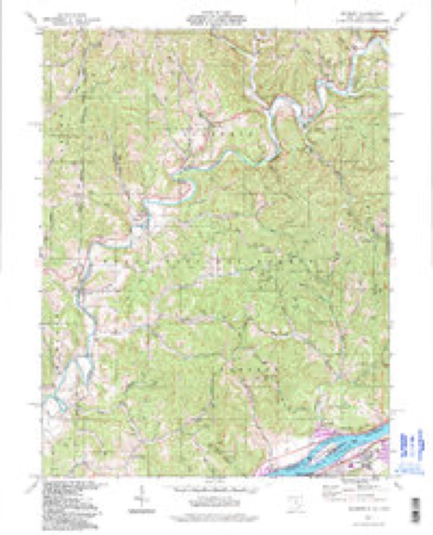
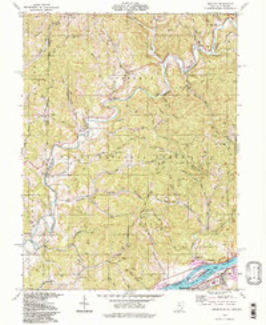
- 1958 USGS Belmont quadrangle1:24000
- 1958 USGS Belmont quadrangle1:24000
- 1961 USGS Clarksburg quadrangle1:250000
- 1969 USGS Belmont quadrangle1:24000
- 1969 USGS Belmont quadrangle1:24000
- 1976 USGS Belmont quadrangle1:24000
- 1981 USGS Parkersburg quadrangle1:100000
- 1988 USGS Clarksburg quadrangle1:250000
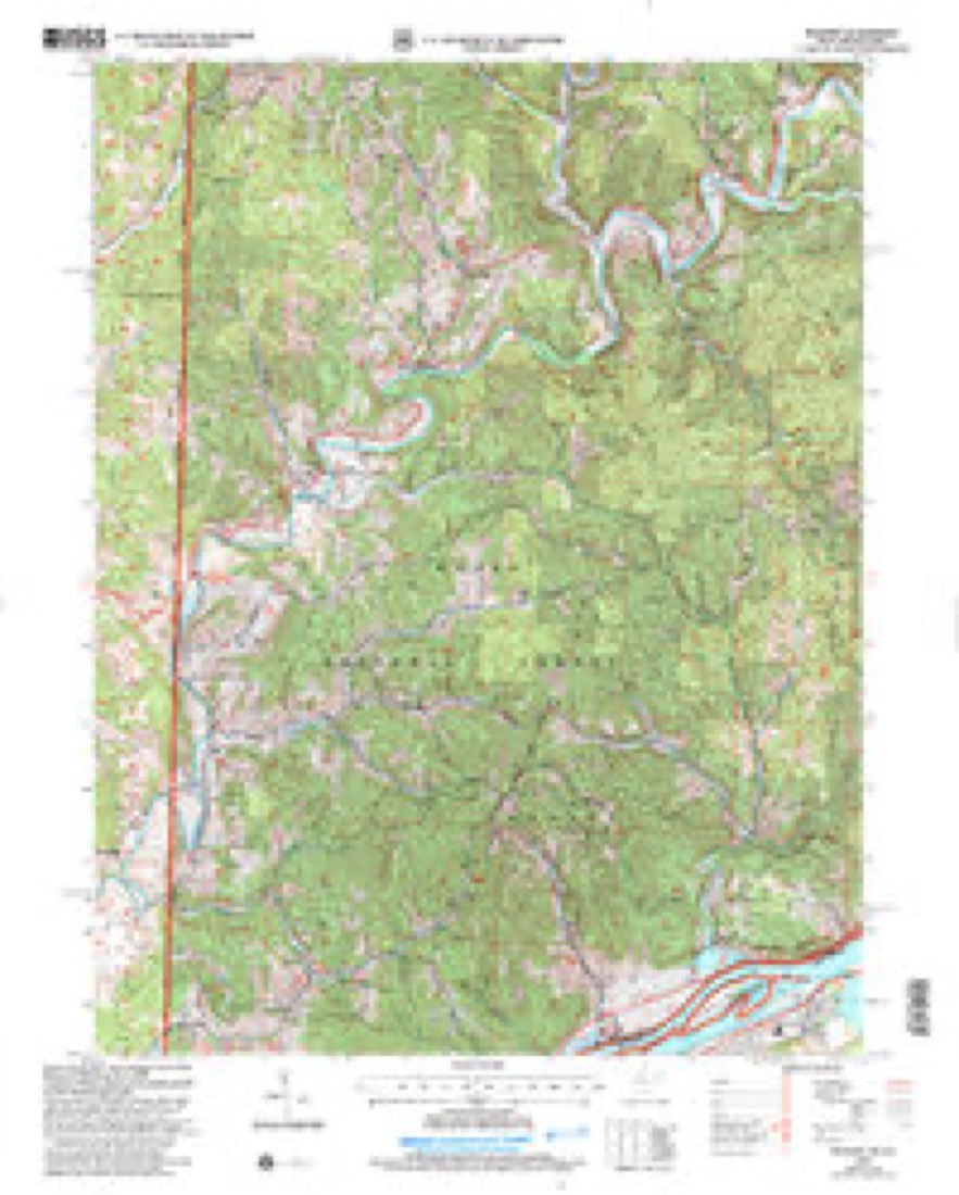
- 1994 USGS Belmont quadrangle1:24000
- 1994 USGS Belmont quadrangle1:24000
- 2002 USGS Belmont quadrangle1:24000





In the county-history sources
14,305 words on this townshipHistory of Washington County, Ohio, published 1881 names this settlement in its chapter on Lawrence Township. These are the passages that mention it, exactly as the scans read.
But it is not fertility of soil that gives the lands of Lawrence their chief value. Nature has deposited her richest treasures in the underlying strata. Before, however, we proceed to the history of the discovery and production of petroleum, it will be necessary to study briefly
Passage source: History of Washington County, Ohio, published 1881.
Rev. Levi lL. Fay was born in the State of Massachusetts in 1814. He married Caroline Hill, who was born in 1816, and died in 1854. In 1855 he married Minerva Bachelor. He settled in Marietta township in 1835, and removed to Lawrence township in 1844. He isa Congregational minister, and is now in charge of the churches at Morse Run, Cow Run, Stanleyville, and Cedar Narrows. His surviving children do not live in this county.
Passage source: History of Washington County, Ohio, published 1881.
Lawrence township has been peculiarly fortunate with regard to her school fund. In 1869, when profitable oil wells were being obtained almost everywhere in the Cow run region, a company known as the School-house company leased from the school board the lot on which the Cow Run school-house then stood. The company, under the conditions of the lease were to receive two-thirds of all the oil yielded by the territory. The school-house was moved and operations began which resulted, on the twenty-second of Octcber, in procuring, probably, the best well in the township. At first it produced one hundred and twenty barrels a day. This well has since been the source of a steady income to the township school fund, its production at the present time being about sixteen barrels per week. The school fund has derived time of his settlement until his death. He came from Noble county, Ohio. He died in 1877, leaving six sons, viz: Thomas, Devol, John Wesley, Jonathan T., Joseph and Fay. All of these are living except Jonathan T. John W. and Fay live in Washington county; Thomas lives in Virginia; Devol and Joseph live in Ross county, Ohio.
Passage source: History of Washington County, Ohio, published 1881.
Machine-read from a century-old scan, so expect the errors a machine makes: misspelled names, dropped words, stray characters.
Read the whole chapter on Lawrence Township - it names this place 3 more 3 times.
Fires near this place
21 since 2001Regional context, not property-specific evidence. The federal wildfire occurrence database lists 21 fires within 5 miles of Fay between 2001 and 2020, burning about 66 acres in total. None started naturally. 4 were recorded as arson. Distance is straight-line from the map coordinates, so a fire counted here may appear on a neighbouring settlement's page as well.
| Reported cause | Fires |
|---|---|
| Debris and open burning | 8 |
| Missing data/not specified/undetermined | 7 |
| Arson/incendiarism | 4 |
| Other causes | 1 |
| Power generation/transmission/distribution | 1 |
The most recent of them, most recent first, with the day each was reported and the service that recorded it.
| Date | Cause | Size | Reported by | Name on the report |
|---|---|---|---|---|
| 26 September 2019 | Debris and open burning | under an acre | Wayne National Forest | 15 MILE FIRE |
| 13 September 2002 | Arson/incendiarism | under an acre | Wayne National Forest | NEFF RIDGE |
| 1 May 2018 | Debris and open burning | under an acre | Wayne National Forest | TUESDAY FIRE |
| 5 April 2016 | Debris and open burning | 5.0 acres | Wayne National Forest | 15 MILE |
| 3 April 2017 | Missing data/not specified/undetermined | under an acre | Wayne National Forest | MT. PISGAH |
| 31 March 2009 | Debris and open burning | 2.0 acres | Wayne National Forest | BIG ERNIE FIRE |
| 24 March 2017 | Missing data/not specified/undetermined | 4.1 acres | Wayne National Forest | STATE ROUTE 26 |
| 19 March 2019 | Power generation/transmission/distribution | 2.0 acres | Wayne National Forest | NEFF RIDGE FIRE |
Settlements close enough to share some of these fires:
Specimens collected near this place
12 of 330 shownRegional context, not property-specific evidence. Museums hold 330 specimens collected within 10 miles of Fay between 1853 and 1975: 308 Animalia, 18 Plantae, 4 Fungi. 12 distinct Species records are shown. Collected by A. L. McElhose, Albert Hazen Wright, Allison W Cusick; Marilyn Ortt and others. Each is a physical object with a catalogue number, and each entry opens the museum's record. This is what was collected and kept, not a survey of what lives here - nothing can be concluded from a species being absent.
| Image | Species | Year | Collected by | Where, as recorded |
|---|---|---|---|---|
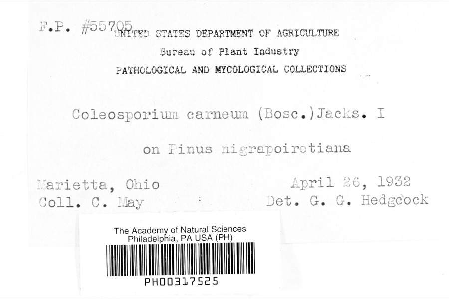 | Coleosporium carneum (Bosc) H.S.Jacks. | 1932 | C. May | Marietta |
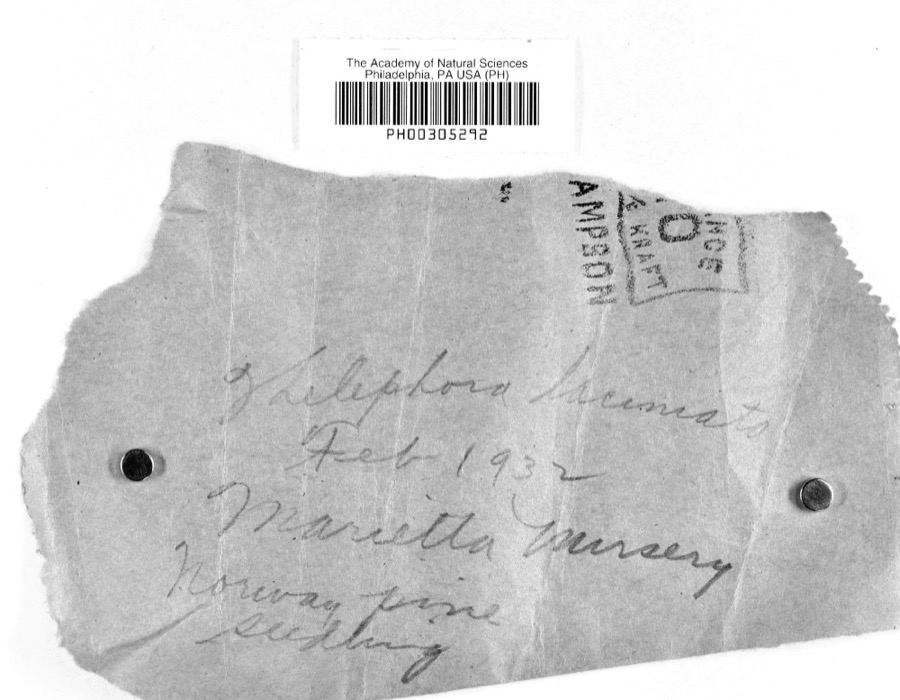 | Thelephora laciniata (Pers.) Pers. | 1932 | L.W.R.J. | Nursery, Marietta |
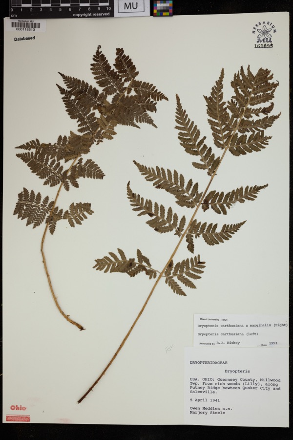 | Dryopteris carthusiana (Vill.) H.P.Fuchs | 1941 | Meddles, O.; Steele, M. | Millwood Twp. From rich woods (lilly), along Putney Ridge between Quaker City and Salesville. |
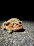 | Anaxyrus americanus (Holbrook, 1836) | 1853 | not recorded | Marietta |
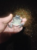 | Anaxyrus fowleri (Hinckley, 1882) | 1853 | not recorded | Marietta |
 | Diadophis punctatus (Linnaeus, 1766) | 1853 | not recorded | Marietta |
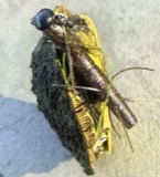 | Graptemys geographica (Lesueur, 1817) | 1853 | not recorded | Marietta |
| Liochlorophis vernalis (Harlan, 1827) | 1853 | not recorded | Marietta | |
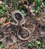 | Thamnophis Fitzinger, 1843 | 1853 | not recorded | Marietta |
 | Cryptobranchus alleganiensis (Sonnini de Manoncourt & Latreille, 1801) | 1883 | Albert Hazen Wright | Marietta |
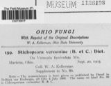 | Stichopsora Dietel, 1899 | 1903 | W. A. Kellerman | |
| Endasys subclavatus (Say, 1835) | 1928 | W.V. Balduf |
All 330 specimens within 10 miles, at the Global Biodiversity Information Facility.
Nearest settlements
The eight closest, with where each one stands in the county. Distances are straight-line, computed from the Geographic Names Information System coordinates.
Provenance
This settlement is recorded in the Geographic Names Information System as feature 1075834. The sheet list is computed by point-in-boundary test against the United States Geological Survey's historical topographic inventory. Both are works of the United States government and carry no copyright under 17 U.S.C. 105.
Wildfire. Short, Karen C. 2022. Spatial wildfire occurrence data for the United States, 1992-2020 [FPA_FOD_20221014]. 6th Edition. Fort Collins, CO: Forest Service Research Data Archive. https://doi.org/10.2737/RDS-2013-0009.6 Collected with United States Government funding and usable without additional permissions or fees.
Specimens. Global Biodiversity Information Facility (GBIF), https://www.gbif.org/. Only records licensed CC0 or CC BY are used. Records licensed CC BY-NC are excluded because this site carries advertising. Images are checked individually and any whose licence is non-commercial, no-derivatives or unreadable is refused.