 Block
Block
Deerfield, Ohio
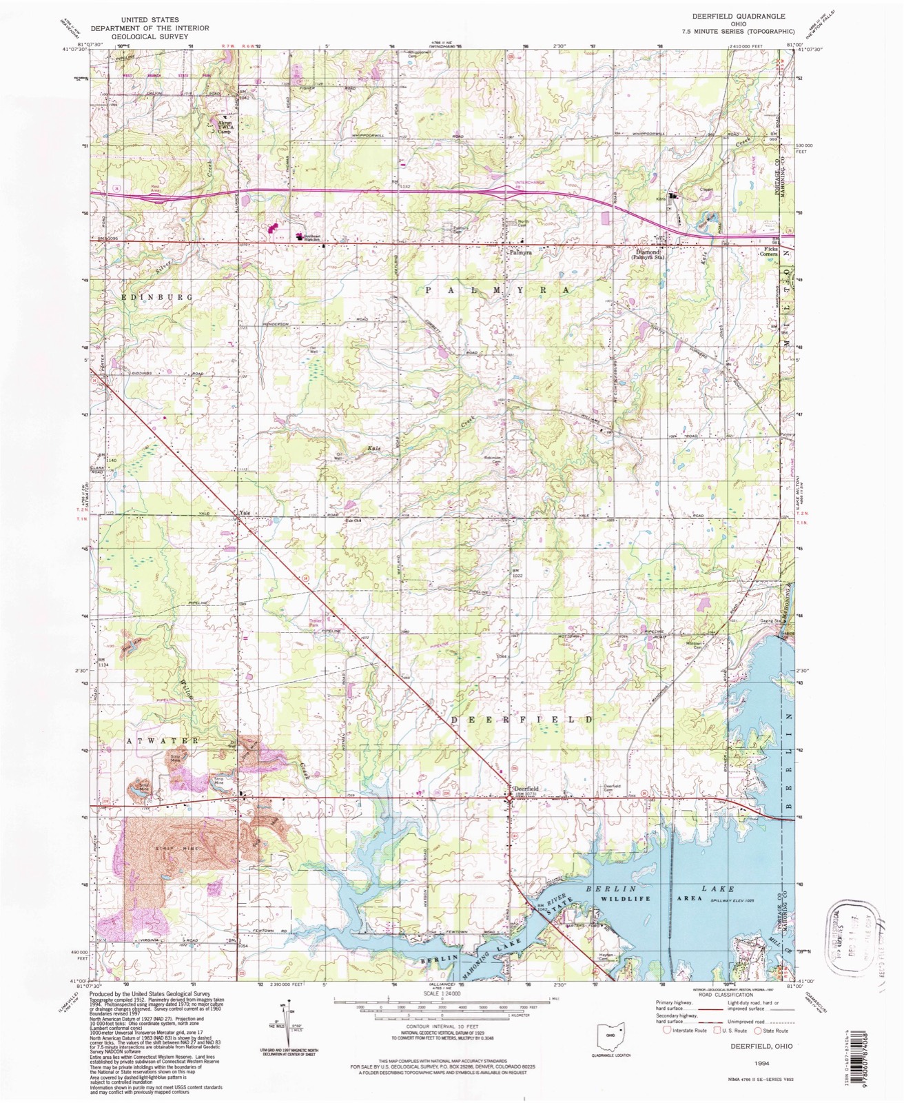
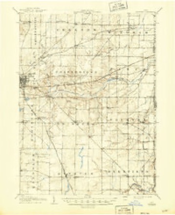
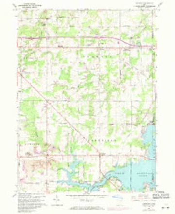
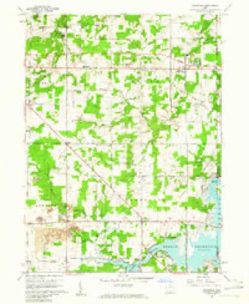
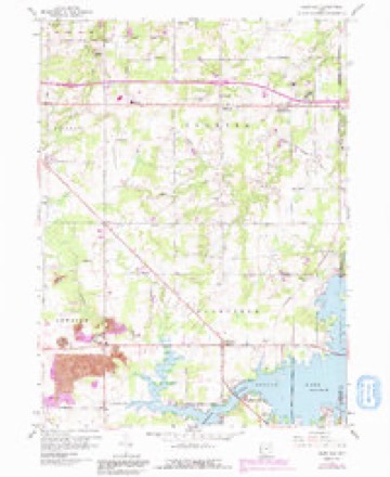
14 topographic sheets cover this place, the earliest surveyed in 1906 and the latest in 1994. It stands in Deerfield Township. It lies in ZIP code area 44411. It stands on Willow Creek. The Survey maps it on the Deerfield quadrangle. It stands 1,073 feet above sea level.
Then and now
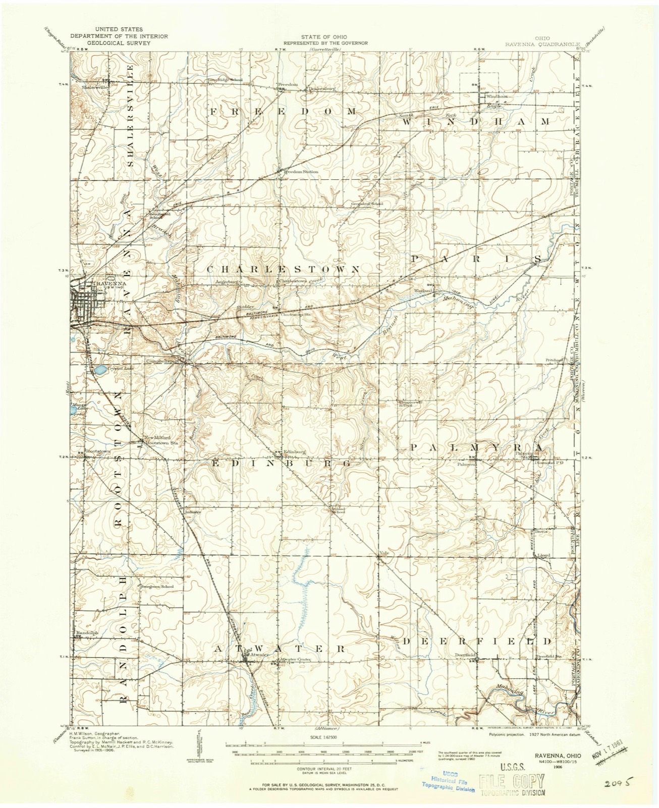
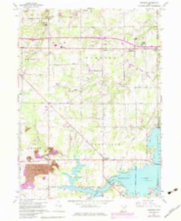
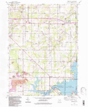
1906 to 1994The same ground, surveyed 88 years apart. Drag the handle to wipe between them. Both sheets are United States Geological Survey originals; neither has been altered.
Compare 1906 against another survey:
Topographic sheets covering this place
14 sheetsMatched by testing this settlement's coordinate against the published boundary of every sheet in the United States Geological Survey's historical collection. Each opens the scanned sheet at the Survey.
- 1906 USGS Ravenna quadrangle1:62500
- 1908 USGS Ravenna quadrangle1:62500
- 1908 USGS Ravenna quadrangle1:62500
- 1956 USGS Cleveland quadrangle1:250000
- 1956 USGS Cleveland quadrangle1:250000
- 1956 USGS Cleveland quadrangle1:250000
- 1960 USGS Deerfield quadrangle1:24000
- 1960 USGS Deerfield quadrangle1:24000
- 1960 USGS Deerfield quadrangle1:24000
- 1960 USGS Deerfield quadrangle1:24000
- 1962 USGS Cleveland quadrangle1:250000
- 1986 USGS Cleveland South quadrangle1:100000
- 1994 USGS Cleveland South quadrangle1:100000
- 1994 USGS Deerfield quadrangle1:24000






In the county-history sources
3,690 words on this townshipHistory of Portage County, Ohio, published 1885 names this settlement in its chapter on Deerfield Township. These are the passages that mention it, exactly as the scans read.
DEERFIELD, laid down in the surveys as Town 1, Range 6, was one of the earliest settled in the county, and for three reasons, possibly - good land, well watered and being in close proximity to the early western settlements of Pennsylvania; for although the very first settlers were from New England, there came in afterward such a sprinkling of Pennsylvanians as to materially alter the character of the inhabitants, for the modes of life of the average Pennsylvania and New England farmers differ in many particulars. Your Pennsylvania farmer, for instance, builds him a big barn, highly ornamented, regardless of what his dwelling may be, while his neighbor from Connecticut takes care, first, that his house is comfortable, and then attends to the outbuildings. The original proprietors of the township were Gideon Granger, appointed Postmaster-General in 1800, and Oliver Phelps, both of Connecticut; Phelps owned two-thirds of the land.
Passage source: History of Portage County, Ohio, published 1885.
February 10, 1800, John Campbell, Joel Thrall and Alva Day walked all the way from Connecticut to their future home in Deerfield. The Alleghenies, when they crossed those mountains, were covered with nearly six feet of snow, and they suffered terribly from cold, but arrived safely on the 4th of March. In this same month Alva Day and Lewis Ely went across to Atwater and cut a large tree for the purpose of digging out a canoe and going to Virginia to procure provisions, as they were very scarce. They launched their log into Yellow Creek and floated it down to the Mahoning, or, as the Indians called it, Ma-um-ing, meaning "the way to the mai'ket," where they fashioned it into a canoe. It was some time in April before they arrived at their destination, but after starting back with their supplies, obtained opposite Steubenville, they found they could not get back by water, and returned for an ox-team, only getting back home the latter part of May. In this year
Passage source: History of Portage County, Ohio, published 1885.
April 7, 1806, the township was organized, and the following officers elected: Joseph Hart, James McKelvey and Horatio Day, Trustees; Daniel Diver and David Daniels, Overseers; Amos Thurber and Alva Day, Fence Viewers; Alva Day and William Bacon, Appraisers; James Carter, Constable; Daniel Diver, Treasurer; Alva Day, E. B. Hubbard, Amos Thurber, Asa Hall, John Vennetta and E. Baker, Supervisors. Lewis Day, James Laughlin and James Thurber were the Judges of the Election, and Shadrach Bostwick, the Clerk. Several of these officers resided at this time in what are now adjoining townships to Deerfield, and the list includes the first man who settled in
Passage source: History of Portage County, Ohio, published 1885.
Machine-read from a century-old scan, so expect the errors a machine makes: misspelled names, dropped words, stray characters.
Read the whole chapter on Deerfield Township - it names this place 9 more 9 times.
Photographs
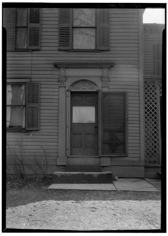
1 photograph,Taken for the Office of War Information and the Farm Security Administration, who photographed the country between 1935 and 1944. Works of United States government photographers, with no known restriction on use. Each opens its catalogue record.
Unattributed, . Library of Congress
Specimens collected near this place
12 of 53 shownRegional context, not property-specific evidence. Museums hold 53 specimens collected within 10 miles of Deerfield between 1880 and 1968: 42 Animalia, 9 Fungi, 2 Plantae. 12 distinct Species records are shown. Collected by B. J. Crandall, B.J.Crandall, C. G. Lloyd and others. Each is a physical object with a catalogue number, and each entry opens the museum's record. This is what was collected and kept, not a survey of what lives here - nothing can be concluded from a species being absent.
| Image | Species | Year | Collected by | Where, as recorded |
|---|---|---|---|---|
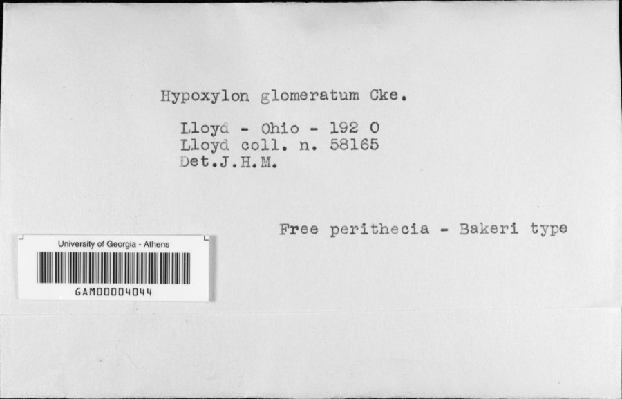 | Hypoxylon glomeratum Cooke | 1920 | C. G. Lloyd | Lloyd |
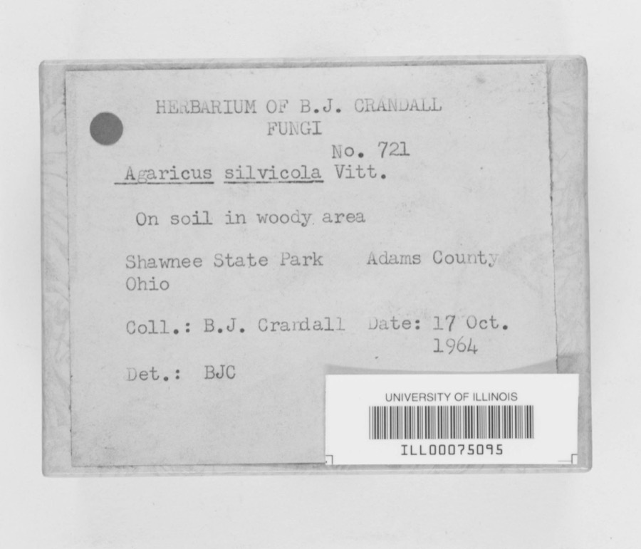 | Agaricus sylvicola (Vittad.) Peck | 1964 | B. J. Crandall | Shawnee State Park |
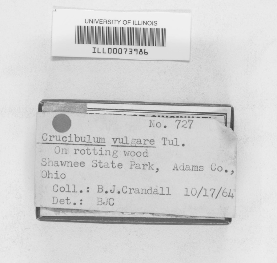 | Crucibulum vulgare Tul. & C.Tul. | 1964 | B.J.Crandall | Shawnee State Park |
 | Icterus galbula (Linnaeus, 1758) | 1880 | Collection of R. Spires | Atwater, Near |
 | Entodon seductrix (Hedw.) Müll.Hal. | 1899 | W. A. Kellerman | Edinburgh |
 | Colletotrichum graminicola (Ces.) G.W.Wilson | 1908 | Selby A. D. | Atwater |
 | Ammocrypta pellucida (Putnam, 1863) | 1930 | MB Trautman | West Branch of the Mahoning River, South-central Charleston Twp |
 | Campostoma anomalum anomalum | 1930 | MB Trautman | West Branch of the Mahoning River, South-central Charleston Twp |
 | Catostomus commersonnii commersonnii (Lacepède, 1803) | 1930 | MB Trautman | West Branch of the Mahoning River, South-central Charleston Twp |
 | Etheostoma blennioides Rafinesque, 1819 | 1930 | MB Trautman | West Branch of the Mahoning River, South-central Charleston Twp |
 | Etheostoma nigrum Rafinesque, 1820 | 1930 | MB Trautman | West Branch of the Mahoning River, South-central Charleston Twp |
 | Etheostoma zonale (Cope, 1868) | 1930 | MB Trautman | West Branch of the Mahoning River, South-central Charleston Twp |
All 53 specimens within 10 miles, at the Global Biodiversity Information Facility.
Mines and quarries near this place
2 within 5 milesRegional context, not property-specific evidence. The federal mineral resources record lists 2 workings within 5 miles of Deerfield: 2 producers. All of them still produce. What was taken out: Sand and Gravel, Construction. Distance is straight-line from the map coordinates, so a quarry counted here may appear on a neighbouring settlement's page as well.
| Where | Site | Commodity | Status | Recorded |
|---|---|---|---|---|
| Deerfield Pit | Sand and Gravel, Construction | Producer | ||
| Valley Sand & Gravel | Sand and Gravel, Construction | Producer |
Storms near this place
6 since 2000Regional context, not property-specific evidence. The National Weather Service names Deerfield in 6 storm reports between 2000 and 2020: 3 thunderstorm wind, 2 hail, 1 tornado. No death or injury is recorded in these reports. Each account below is quoted exactly as the forecast office filed it, from the NOAA Storm Events Database, and each date opens the federal record of that event.
| When | Event | Place named | Harm | What the report says |
|---|---|---|---|---|
| May 2014 | Hail | Deerfield | $40,000 | Hail the size of ping pong balls was observed. Some vehicle damage occurred. |
| July 2006 | Tornado (F0) | Deerfield | $25,000 | During the late afternoon hours of July 4th, an F0 tornado touched down just west of Deerfield in Portage County. The path of the tornado was mainly through open fields, but a barn along the path sustained major structural damage. One wall of the barn was completely blown in, and about half of the roof was torn off. The barn had a slate roof, and many pieces of slate pierced the ground in the vicinity of the barn. Numerous other beams and boards from the barn were observed sticking from the ground. The tornado then continued through an open field before dissipating. No additional structural or crop damage was observed. |
| June 2008 | Thunderstorm Wind | Deerfield | $7,000 | A few trees and several large limbs were reported down. |
| June 2000 | Thunderstorm Wind | Deerfield | $5,000 | Thunderstorm winds knocked three trees down across State Route 14 just north Deerfield. |
| August 2020 | Thunderstorm Wind | Deerfield | - | Numerous trees and power lines downed in Deerfield. |
| May 2014 | Hail | Deerfield | - | Quarter sized hail was observed. |
Nearest settlements
The eight closest, with where each one stands in the county. Distances are straight-line, computed from the Geographic Names Information System coordinates.
| Map | Place | Distance | Sheets |
|---|---|---|---|
| Hutson (historical) | 1.6 miles | 14 | |
| All Seasons Lake Park | 2.4 miles | 14 | |
| North Benton Station | 2.6 miles | 20 | |
| Keans (historical) | 2.8 miles | 14 | |
| Lloyd | 3.6 miles | 14 | |
| Yale | 3.7 miles | 14 | |
| Davis | 4.5 miles | 14 | |
| Countrywide Estates | 5.1 miles | 18 |
Elsewhere
Matched on this settlement's Geographic Names Information System number rather than its name, so it cannot be a different place of the same name in another state.
| Wikidata item Q136323646 | The structured record the population and elevation above come from. Public domain (CC0). |
Provenance
This settlement is recorded in the Geographic Names Information System as feature 1064518. The sheet list is computed by point-in-boundary test against the United States Geological Survey's historical topographic inventory. Both are works of the United States government and carry no copyright under 17 U.S.C. 105.
Specimens. Global Biodiversity Information Facility (GBIF), https://www.gbif.org/. Only records licensed CC0 or CC BY are used. Records licensed CC BY-NC are excluded because this site carries advertising. Images are checked individually and any whose licence is non-commercial, no-derivatives or unreadable is refused.
Mines and quarries. USGS Mineral Resources Data System (MRDS) https://mrdata.usgs.gov/mrds/ A work of the United States government, no copyright under 17 U.S.C. 105.
Storms. NOAA National Centers for Environmental Information, Storm Events Database https://www.ncei.noaa.gov/stormevents/ A work of the United States government, no copyright under 17 U.S.C. 105. Narratives are quoted verbatim from the National Weather Service report and are not edited or summarised.