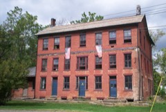
Listed on the National Register of Historic Places in
1982. A historic map-sheet match is not published yet. The record needs a coordinate-quality review before it can be joined to a sheet boundary.
From the record
“Lewis Day was appointed Postmaster by Postmaster-General Gideon Granger. In the fall of 1801 James Laughlin finished a grist-mill on the Mahoning, which was a great convenience, as up to that time the inhabitants had to go to Youngstown to get their milling done.”
History of Portage County, Ohio (1885). Machine-read text.
one of 42 National Register listings in Portage County · listed in 1982 · category: Building.
National Register reference number.82003632- the number the National Park Service assigned this property when it was listed, and the key its nomination file is catalogued under at the National Archives.
The ground it stands on
3,690 words
The chapter on Deerfield Township in History of Portage County, Ohio, published 1885 names Deerfield. This is what it says, exactly as the scans read.
February 10, 1800, John Campbell, Joel Thrall and Alva Day walked all the way from Connecticut to their future home in Deerfield. The Alleghenies, when they crossed those mountains, were covered with nearly six feet of snow, and they suffered terribly from cold, but arrived safely on the 4th of March. In this same month Alva Day and Lewis Ely went across to Atwater and cut a large tree for the purpose of digging out a canoe and going to Virginia to procure provisions, as they were very scarce. They launched their log into Yellow Creek and floated it down to the Mahoning, or, as the Indians called it, Ma-um-ing, meaning "the way to the mai'ket," where they fashioned it into a canoe. It was some time in April before they arrived at their destination, but after starting back with their supplies, obtained opposite Steubenville, they found they could not get back by water, and returned for an ox-team, only getting back home the latter part of May. In this year
April 7, 1806, the township was organized, and the following officers elected: Joseph Hart, James McKelvey and Horatio Day, Trustees; Daniel Diver and David Daniels, Overseers; Amos Thurber and Alva Day, Fence Viewers; Alva Day and William Bacon, Appraisers; James Carter, Constable; Daniel Diver, Treasurer; Alva Day, E. B. Hubbard, Amos Thurber, Asa Hall, John Vennetta and E. Baker, Supervisors. Lewis Day, James Laughlin and James Thurber were the Judges of the Election, and Shadrach Bostwick, the Clerk. Several of these officers resided at this time in what are now adjoining townships to Deerfield, and the list includes the first man who settled in
Regional context, not property-specific
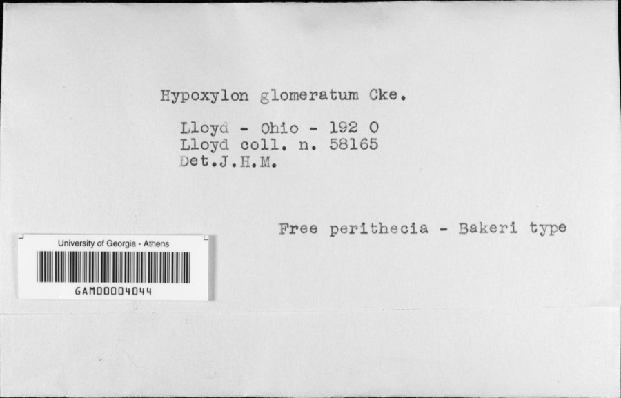
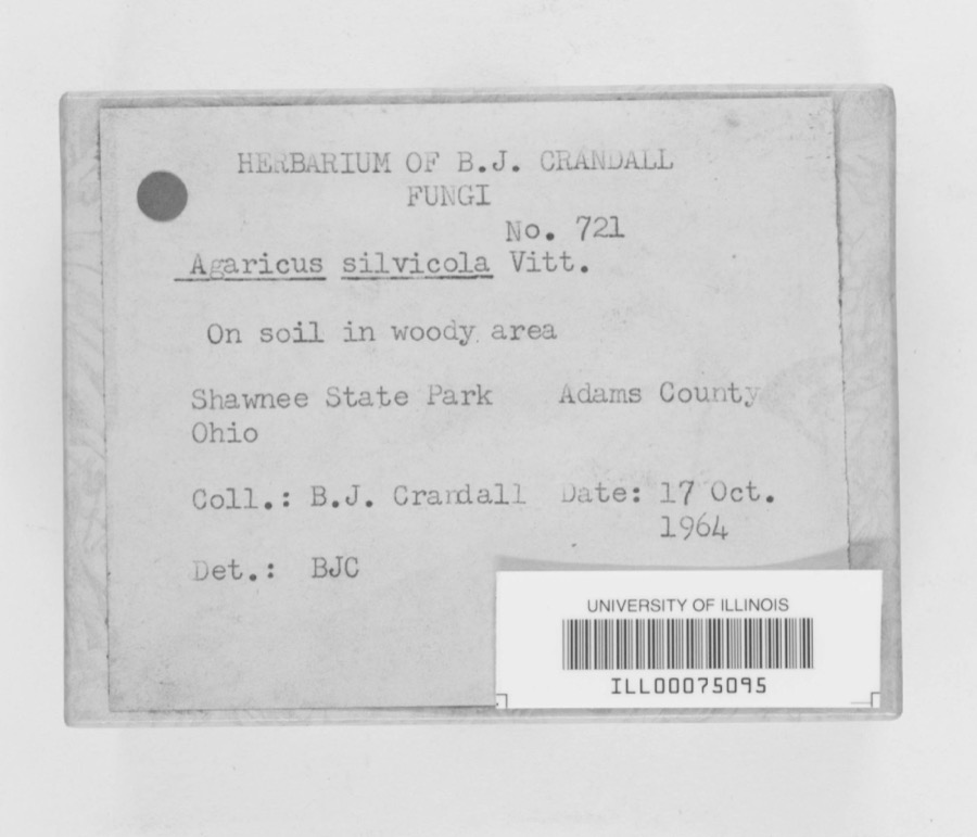
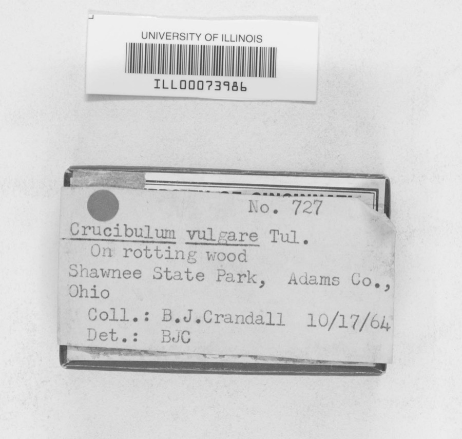
evidence. Museums hold 53 specimens
collected within 10 miles of Diver, John, House and Storebuilding between 1880 and
1968: 42 Animalia, 9 Fungi, 2 Plantae. 12 distinct Species records are shown.
Collected by B. J. Crandall, B.J.Crandall, C. G. Lloyd and others. Each is a
physical object with a catalogue
number, and each entry opens the museum's record. This is what was
collected and kept, not a survey of what lives here - nothing can be
concluded from a species being absent.
Regional context, not property-specific
evidence. The federal mineral resources record lists
2 workings within 5 miles of Diver, John, House and Storebuilding: 2 producers.
All of them still produce. What was taken out: Sand and Gravel, Construction. Distance is straight-line from the
map coordinates, so a quarry counted here may appear on a neighbouring
settlement's page as well.
Regional context, not property-specific
evidence. The National Weather Service names
Deerfield, the town this property stands in, in 6 storm reports between 2000 and 2020: 3 thunderstorm wind, 2 hail, 1 tornado.
No death or injury is recorded in these reports. Each account below is quoted exactly as the forecast office
filed it, from the NOAA Storm Events Database, and each date
opens the federal record of that event.
During the late afternoon hours of July 4th, an F0 tornado touched down just west of Deerfield in Portage County. The path of the tornado was mainly through open fields, but a barn along the path sustained major structural damage. One wall of the barn was completely blown in, and about half of the roof was torn off. The barn had a slate roof, and many pieces of slate pierced the ground in the vicinity of the barn. Numerous other beams and boards from the barn were observed sticking from the ground. The tornado then continued through an open field before dissipating. No additional structural or crop damage was observed.
No historic map-sheet match is published
for this property yet. That does not mean no map exists. This record needs
a coordinate-quality review before it can be joined to a sheet boundary.
Browse the county's mapped places while that work is
pending.
From the nomination file
1,781 words on record
When this property was proposed for the
National Register, someone wrote the case for it: what the building is,
and why it matters. That document is a federal record in the public domain.
It is quoted below word for word, never summarised. The text was read off the scanned case file by machine, so the
occasional stray character is the recogniser's and the 1970s
typewriter's.
Description of the property
The interior entrance to the store is under the hall stairs.The store runs the esque sunbursts.The window and door detail have concentric circles in the corner This is a residence and storebuilding constructed of brick and measuring 4o'by other three;it has no flue.Delicate door and window trim complement the narrow latter being added after the original construction. a small porch facing south.The west facade has the main entrance with side lights The long central entrance hall contains a large stairway with a curved cherry and a transom, as well as one entrance into the store with a transom.The south wall cupboard and a dry sink. Evidence shows a chair rail once lined three walls.
inally one room;it was partitioned into three ca.1970.Names, dates, sketches, ca.1910 when the exterior doorway was added.The room above the store was orig- entrance and one to the bath, originally a storage room.A large 7'by 9'arch elevation has another store entrance.A doorway added ca.1910 is in the southeast this area.A 5'by 6' fireplace and mantel are on the west wall between a built-in was installedca.1970 for access to the southern part of the structure. _ruins banister and a door opening onto the back porch. This hallway gives access, from living room and the dining room are partitioned by three large, hinged paneled blocks with fluted trim around each opening. The four windows have raised panels doors, a cash drawer beneath a large maple counter, and shelving.
Another counter business stencilling and caricatures were found under the old wallpaper. main block and a dirt floor under the kitchen.
(in one paragraph) a key figure in Deerfield's early history and was described in early manuscripts in its setting. Indians in the area.About 1834 he erected the Diver House at the center his life.The next owner of this house, Alexander H. Wilcox, twice owned the 1816 to 1835,during which time this house was built asa private residence -prehistoric separately from the owners of the building until the 1950s. military - archeology-prehistoric - landscape architecture _ religion center with his father and helped clear the land. He owned this property from community planning Deerfield Township was first settled in 1799-1800,and the township was organ- 9.
Quoted from the National Register nomination
for reference 82003632, 12 pages, held by the National Archives in Record
Group 79. See the
catalogue record.
Listed places nearby
2 within 8 miles
Other National Register properties close
enough to walk or drive between, ordered by distance from this one. Both
positions come from the same geocoding pass that matched these properties
to their map sheets.
Listing record. National Park Service National Register of Historic Places, listed-properties dataset, current to 2026-05-22.
Map join. Address geocoded through the United States Census geocoder, then tested against the published boundary of every sheet in the USGS Historical Topographic Map Collection.
How this page is made. Listing fields come from federal records; map-sheet coverage is a labelled coordinate-to-boundary calculation, not a source-field claim.
Specimens. Global Biodiversity Information Facility (GBIF), https://www.gbif.org/. Only records licensed CC0 or CC BY are used. Records licensed CC BY-NC are excluded because this site carries advertising. Images are checked individually and any whose licence is non-commercial, no-derivatives or unreadable is refused.
Mines and quarries. USGS Mineral Resources Data System (MRDS) https://mrdata.usgs.gov/mrds/ A work of the United States government, no copyright under 17 U.S.C. 105.
Storms. NOAA National Centers for Environmental Information, Storm Events Database https://www.ncei.noaa.gov/stormevents/ A work of the United States government, no copyright under 17 U.S.C. 105. Narratives are quoted verbatim from the National Weather Service report and are not edited or summarised.
 Block
Block